
Quick report
Out to check on todays thaw:
- Low elevation snow in direct sunlight was softening by 1100 hrs.
- Mid elevation southerlies softening by 1300 hrs but were cooled by easterly winds.
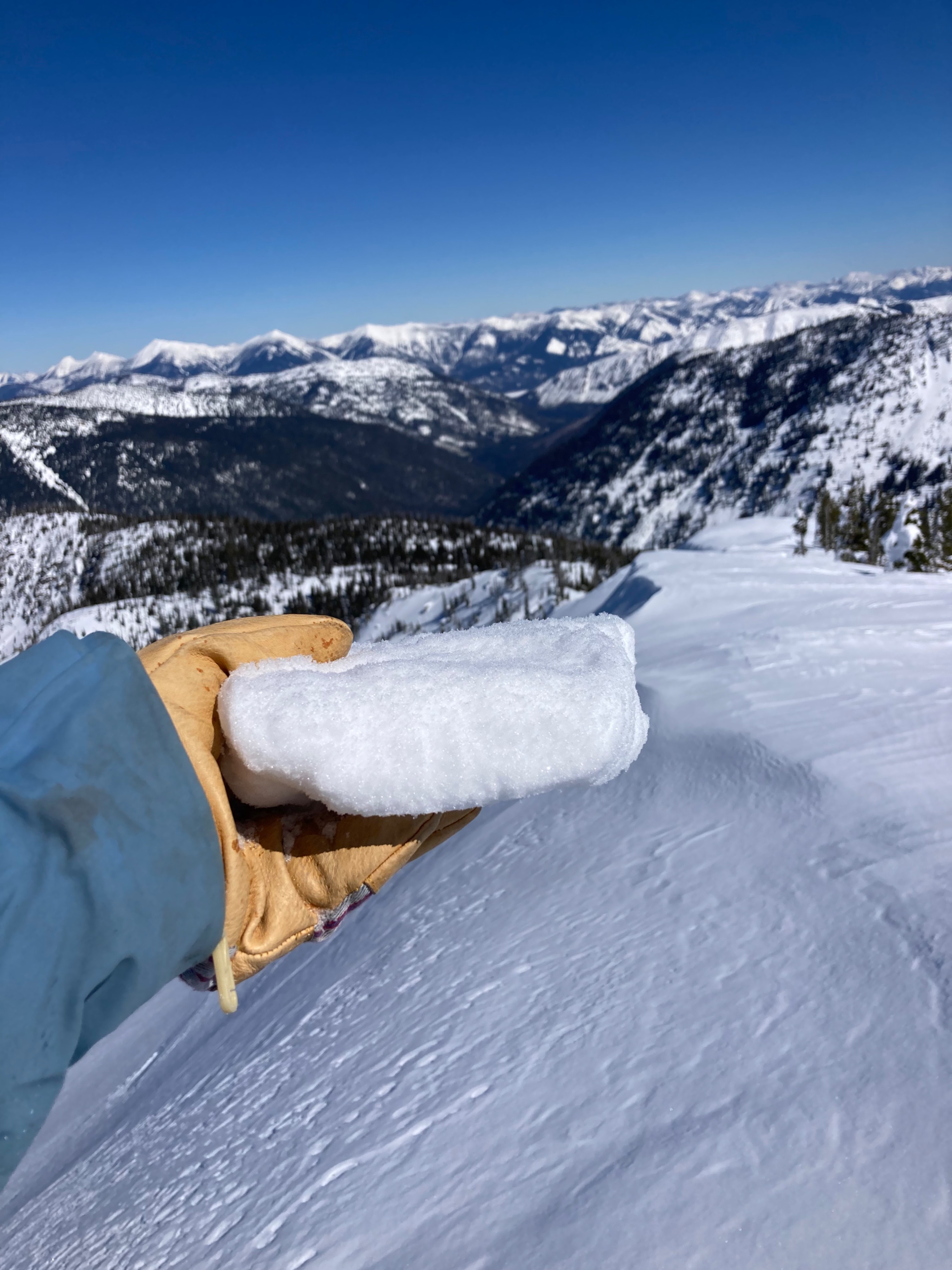
- The surface at upper elevation S aspect consisted of a thin crust, above 3 inches moist snow on top of dry snow.
- Found dry surface snow on N through NE at upper elevations.
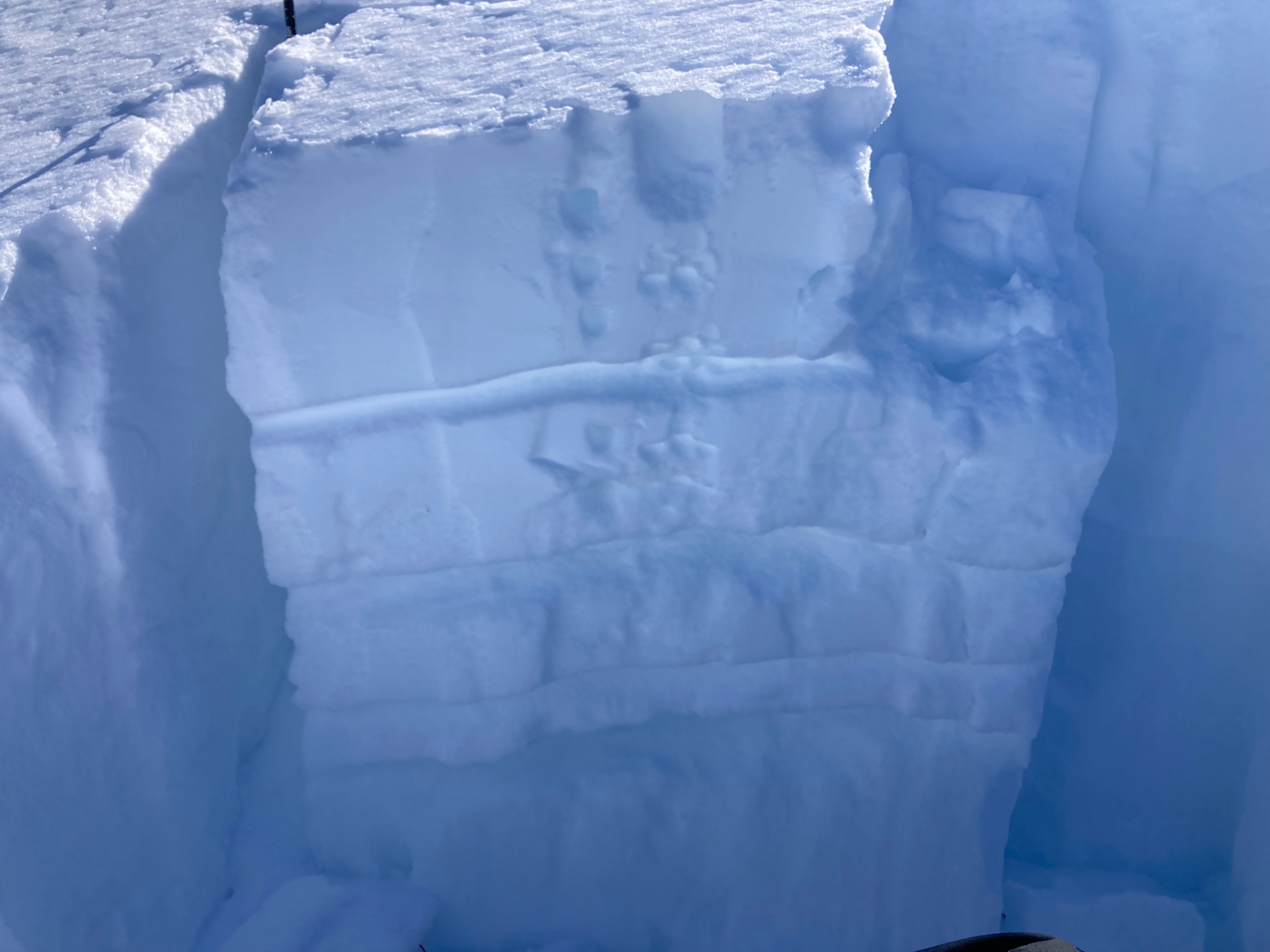
- Pit at 7000 feet NE aspect had several weak layers in the top 3 feet but did not propagate in large column test.
- No new natural loose wet or roller ball activity.
Started heading down around 1530 hrs to avoid overcooked snow on Southern egress. Upper elevation was still a little stiff, mid elevation had perfect corn. Low elevations were sticky and punchy.
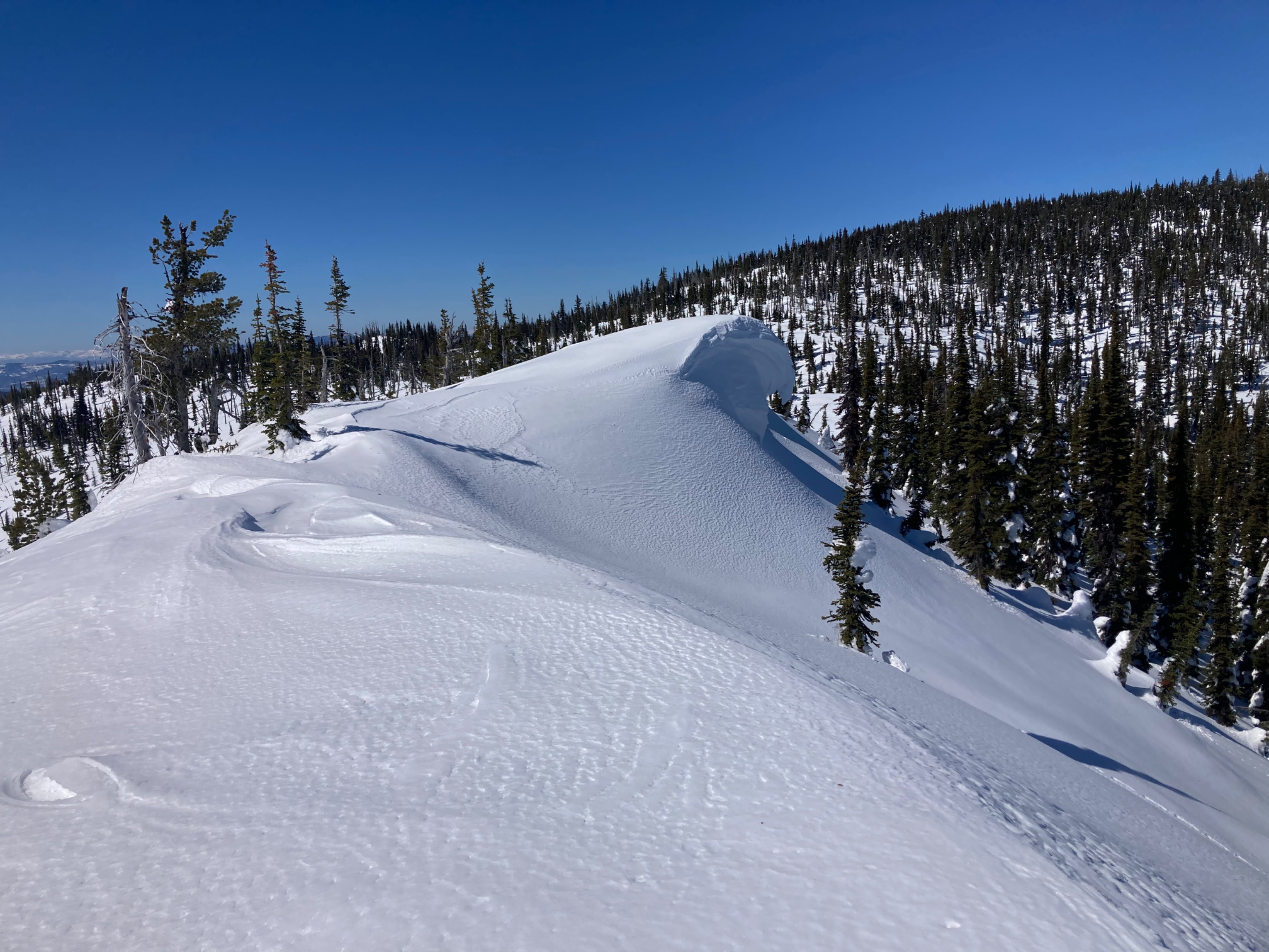
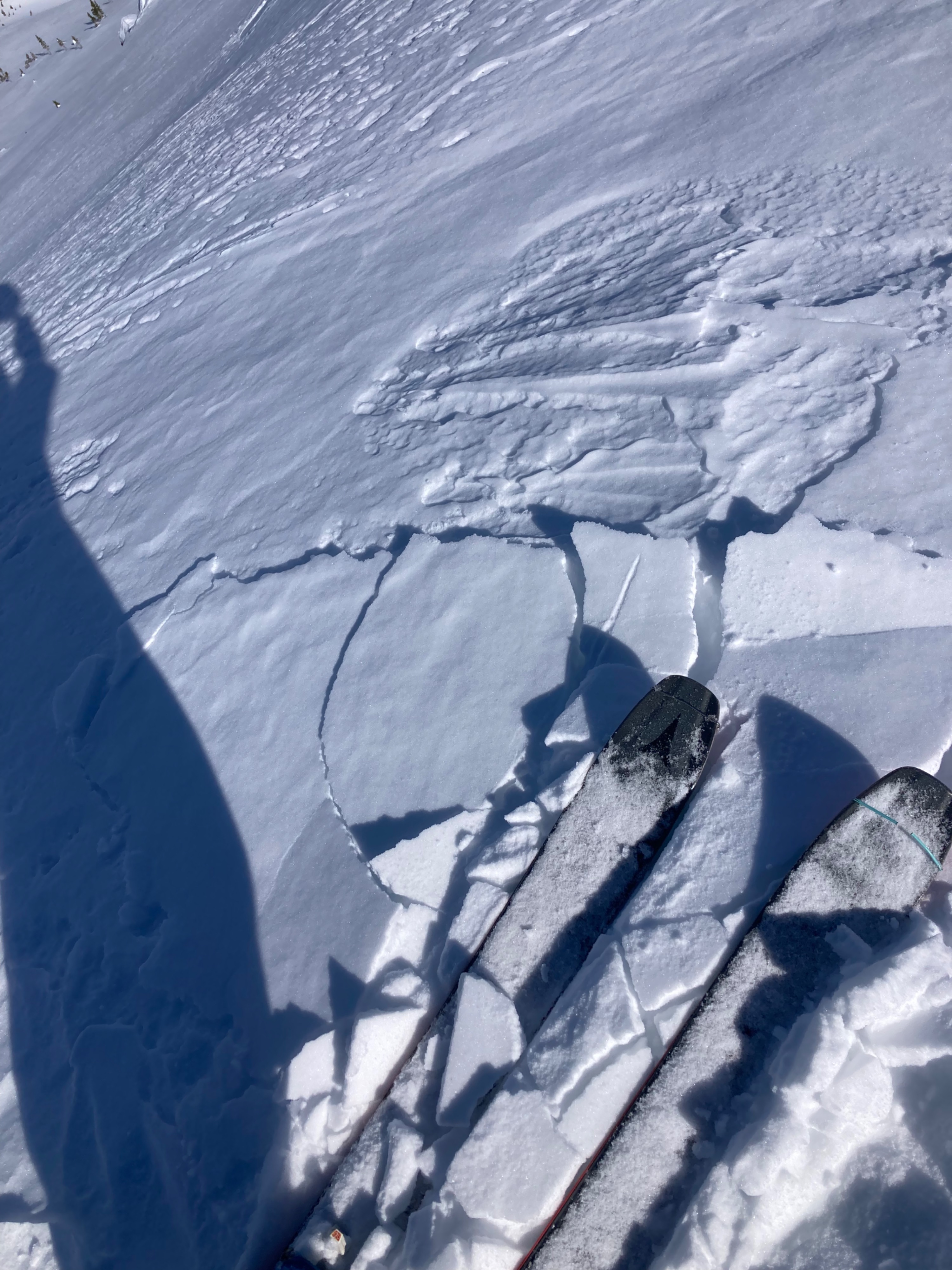
Thin and small pockets of hard slab cracked easily along a ridge at 7000 feet.Weather
- Cloud Cover
- clear
- Wind Loading
- none
- Snow Avail For Transport
- small smounts
Not a cloud. Steady light wind from the East Gusting to Moderate kept things cool.
Snowpack
@ 7000 feet NE aspect: HS = 200 cm, ECTN 15 down 30 cm on 0.5mm Facets. Several facet layers in the top 100 cm with facets 2-3mm.