
Quick report
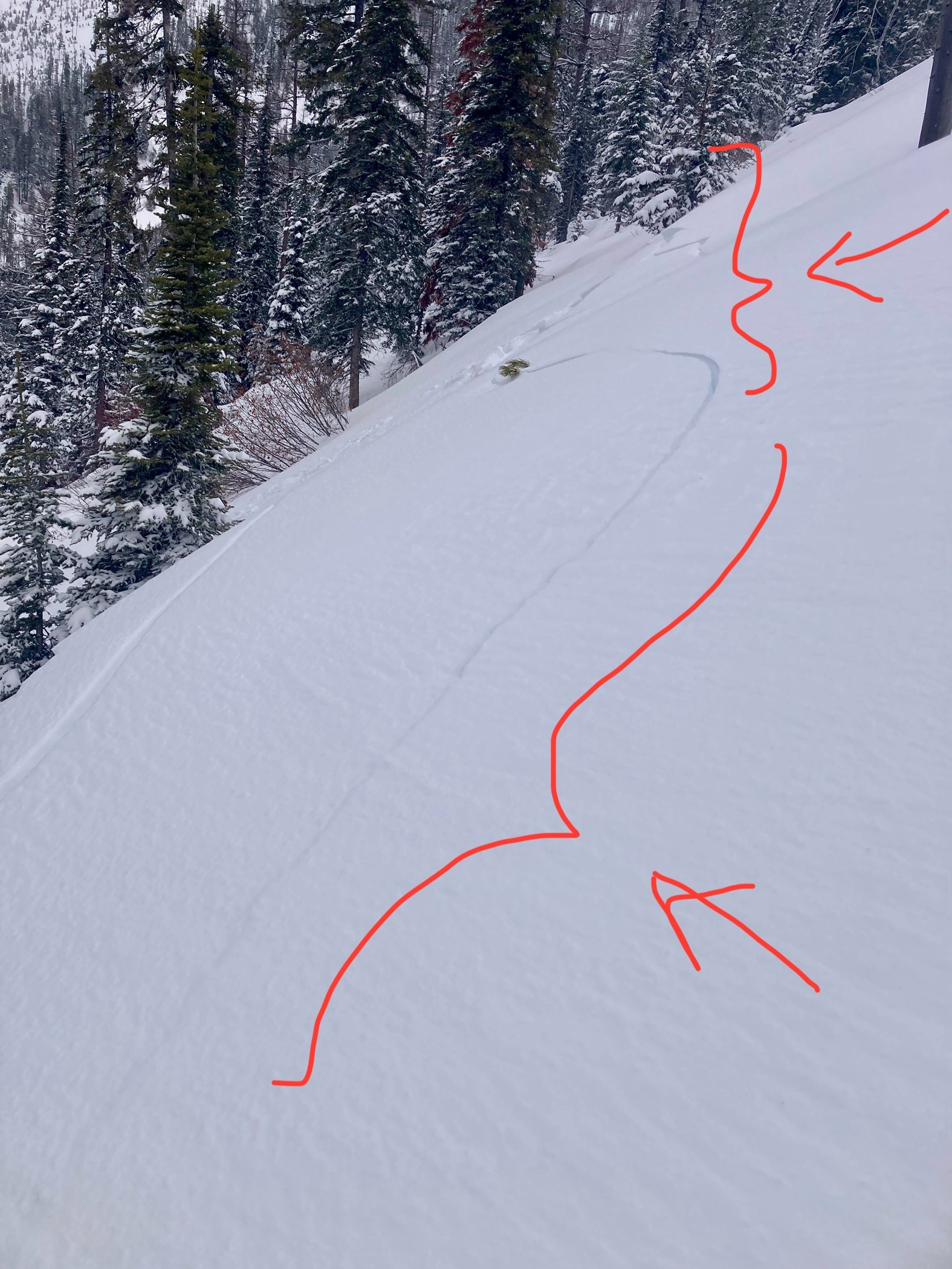
- Cracking
- specific
We climbed a ridge with little overhead hazard to get a feel for avalanche hazards involving new snow. We hoped to reach the crest of the Flathead Range, but turned around when the skinning on a slick, scoured crust got too difficult and the wind gusts too intense.
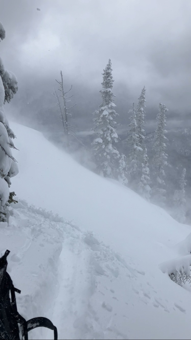
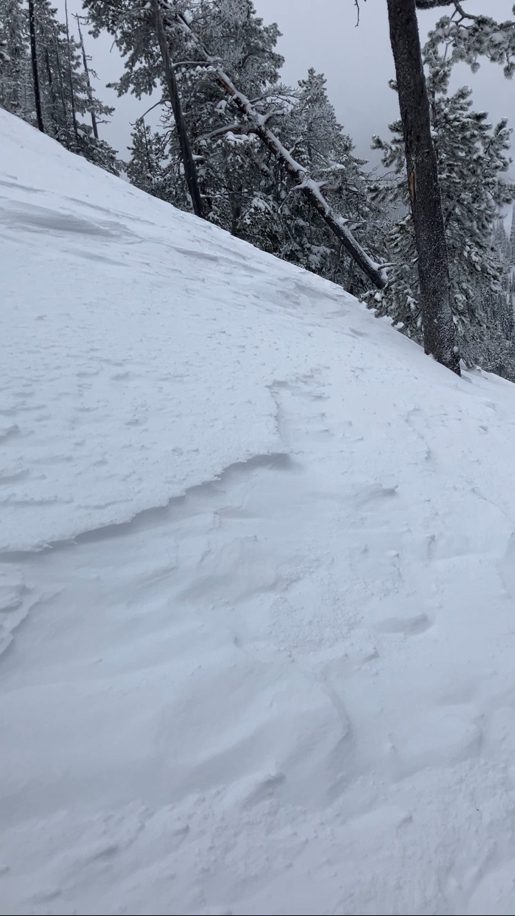
- Winds were activiely drifting snow and loading and/ or crossloading mid and upper elevation slopes throughout the day. At upper-elevations, the winds were forming drifts well below ridgelines, on and behind prominent terrain features.
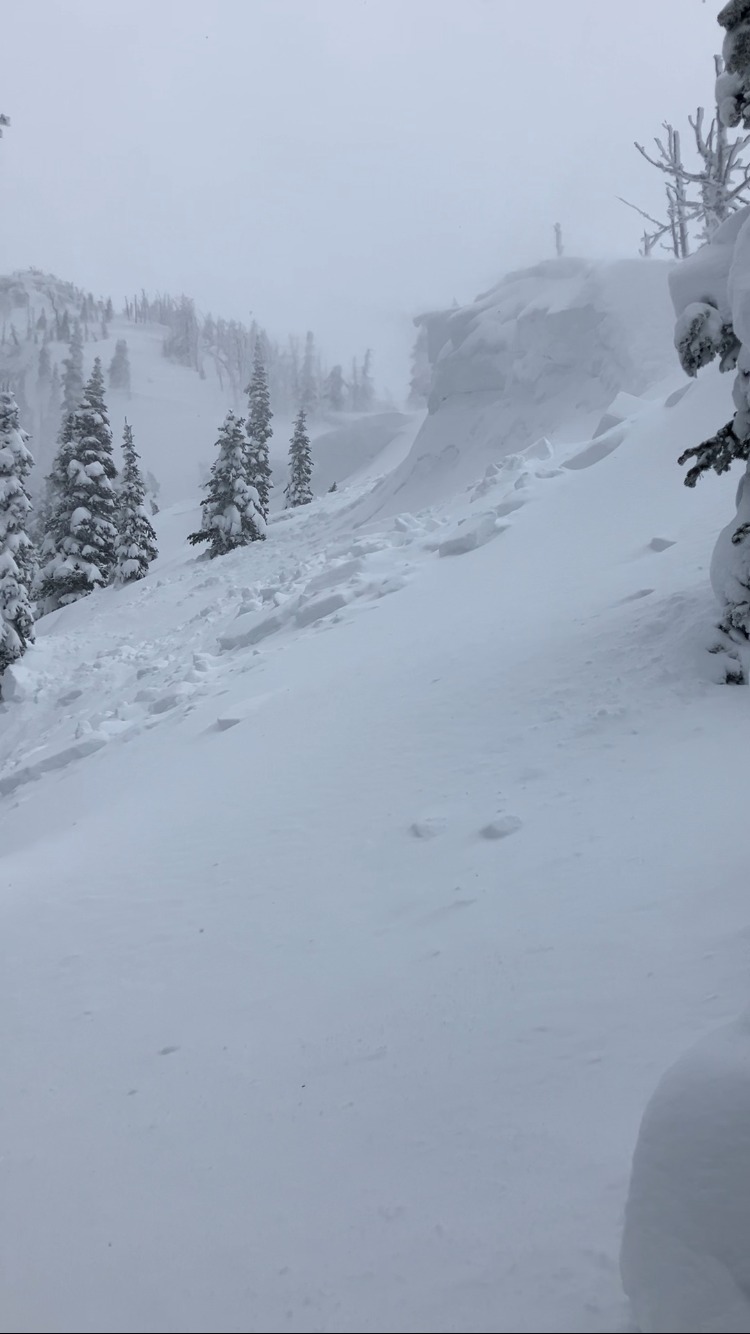
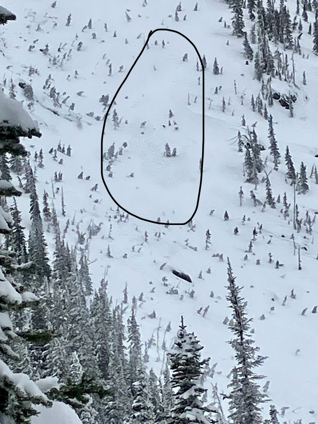
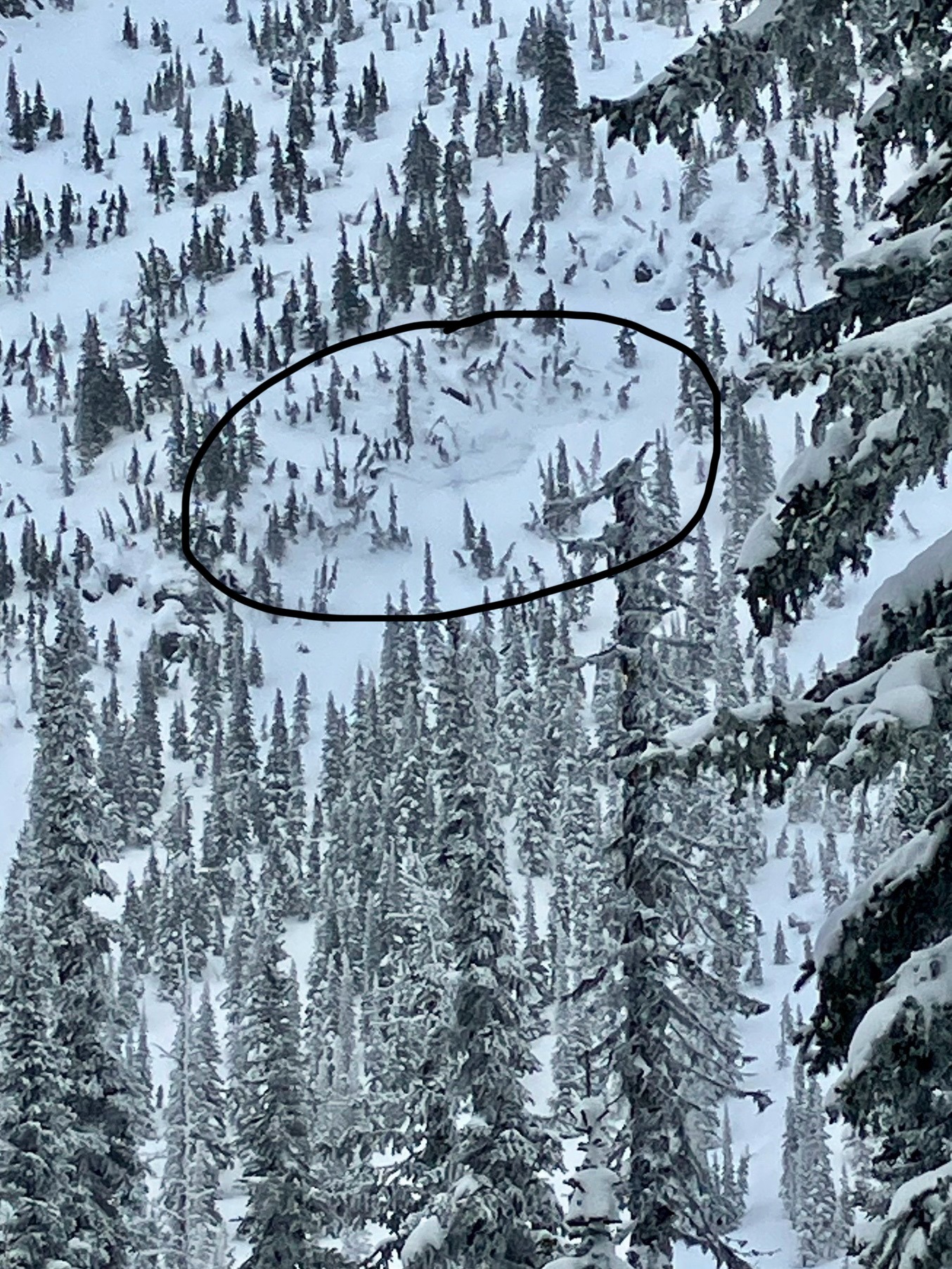
- We saw and triggered (often remotely) over a dozen small to large soft slab avalanches that involved new and drifted snow. See avalanche events.
- We were surprised by the amount of recent snow at upper elevations - 50 cm or more above crusts that formed last weekend.
- In active tests and column tests, we found several weak interfaces in the recent snow that produced no avalanche activity and minimal signs of instability (short cracks, easy hand shears) on slopes sheltered from the wind.
- Lots of dunes and drifts and scouring from winds over the past few weeks on exposed mid and upper elevation ridges.
- The 3-5" of new snow at low elevations became wet during the day and cooked down to about half that.
- Low elevations in this area have a thin snowpack, even for the windward side of the range.
Weather
- Cloud Cover
- obscured
- Wind Loading
- intense
- Recent Snowfall
- 20
- Snow Avail For Transport
- moderate amounts
Variable weather. Skies went from obscured to broken and back multiple times. Some intense snow squalls, including one painful burst of graupel mid-afternoon. Winds were strong with some extreme gusts. Winds were generally from the south, though they swirled around. Moderate to intense wind loading, depending on the moment.
Snowpack
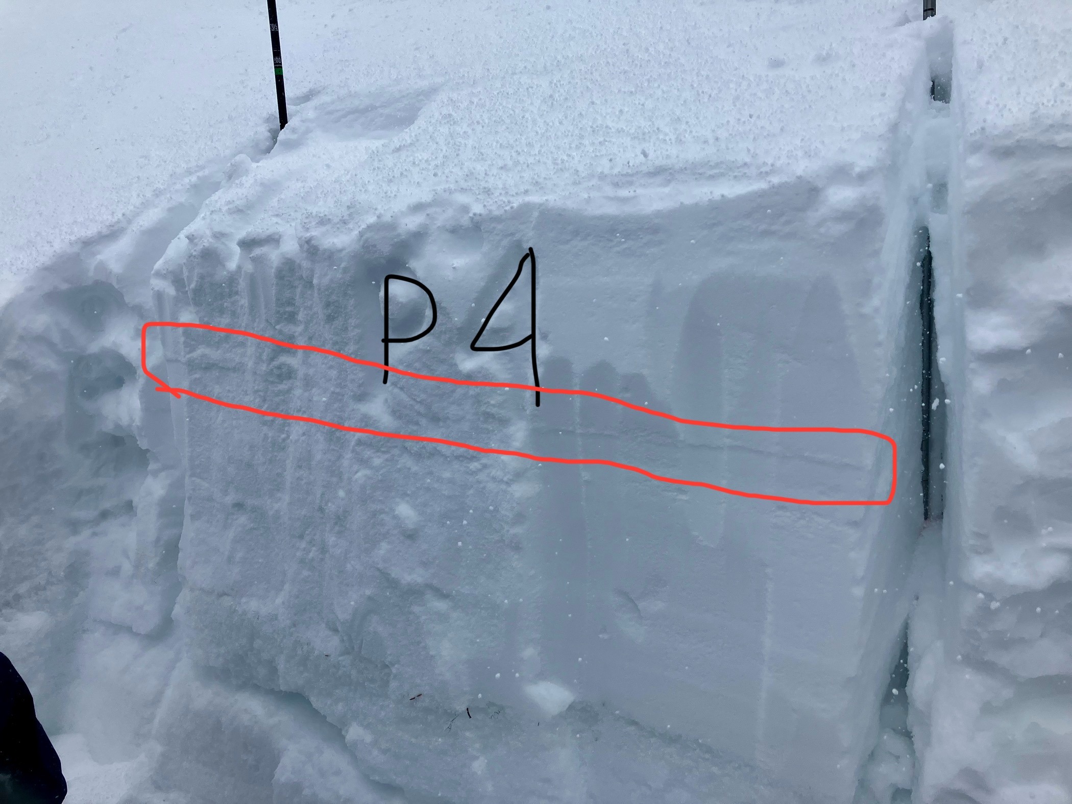
Hand shears and other active tests consistently showed the recent snow failing 2-5 cm above a crust that was 20 to 50 cm below the surface. The failure layer appeared to be lower density snow, sometimes moist. We looked for but never identified small facets that might have formed during the one clear-ish night this week.
Snow profiles on upper-elevation northwest (6800 ft; HS 228 cm) and southeast (6650 ft; HS 180 cm) slopes. These profiles seemed pretty representative of hand profiles we dug during the day at mid elevations.
- The upper 50 cm consists of recent snow. 20 cm overnight and 30 cm since last weekend. This snow is generally F to 4F hard.
- The recent snow rests on crusts formed/deposited last weekend. The crusts are very different in hardness and thickness with aspect.
- In the NW profile, we found 2 thin (1cm ) crusts about 5 cm apart. The top was 1F hard; the bottom P+ hard (rain crust).
- In the SE profile, the top crust was 8-10 cm thick and knife hard.
- Large and small column tests revealed sensitive interfaces in the recent snow (down 20 cm; CT1; ECTN7 NW and ECTP4 SE. And down about 40 cm; ECTN mod force)
- We did not get fractures on or just above the MF crusts in column tests.
Avalanche
- Size
- D2
- Type
- SS
- Count
- 3
- Aspect
- NW
- Trigger
- NC
- Elevation
- 6950 ft
Numerous small to large natural and triggered soft slab avalanches involving drifted snow. On our exit, we crossed the debris of two large to very large natural avalanches that ran during the wet snow avalanche cycle earlier this month.