
Allison Clay S ridge near B24 crash site
Quick report
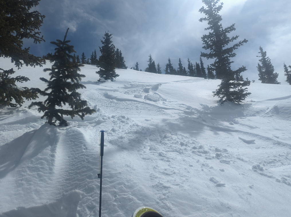
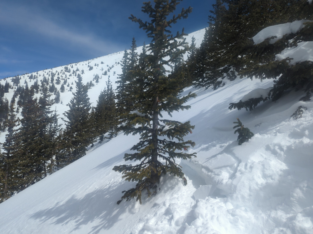
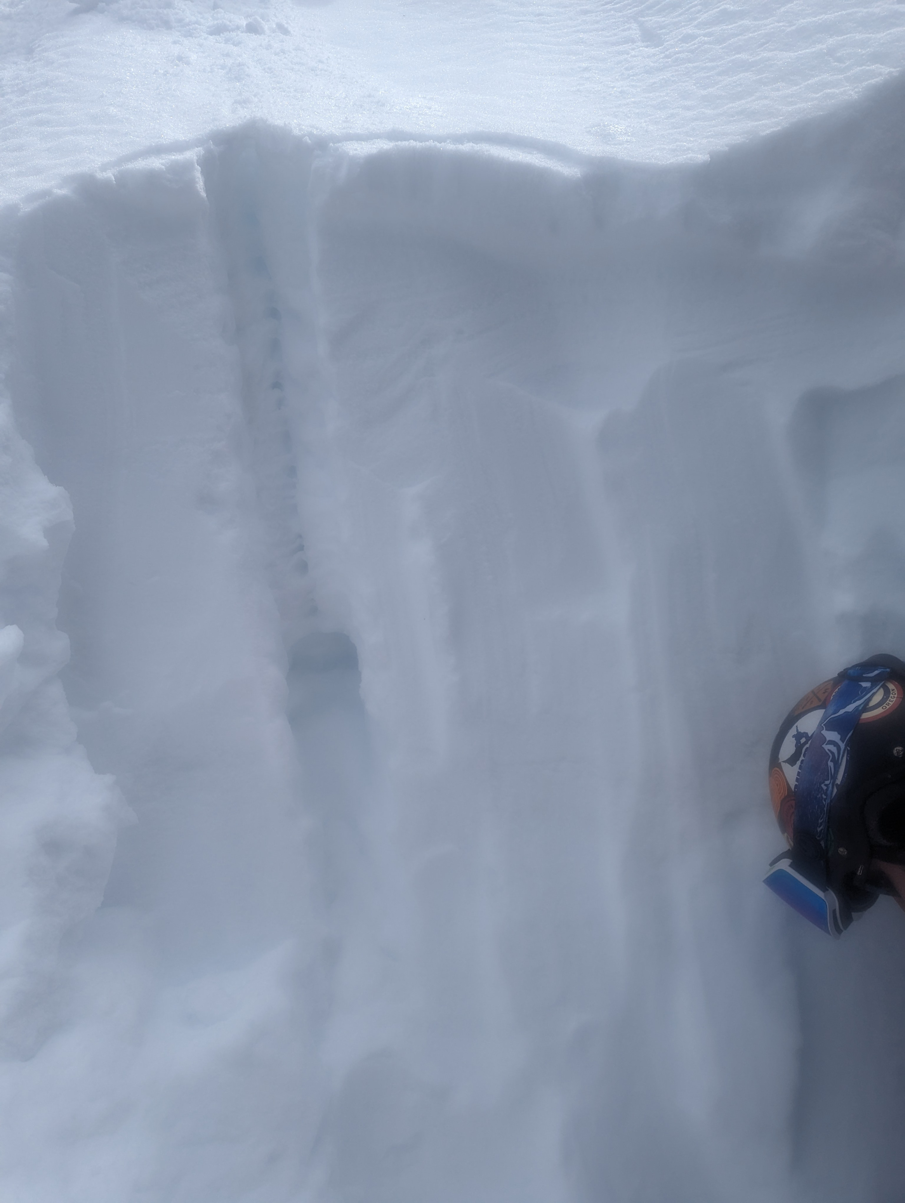
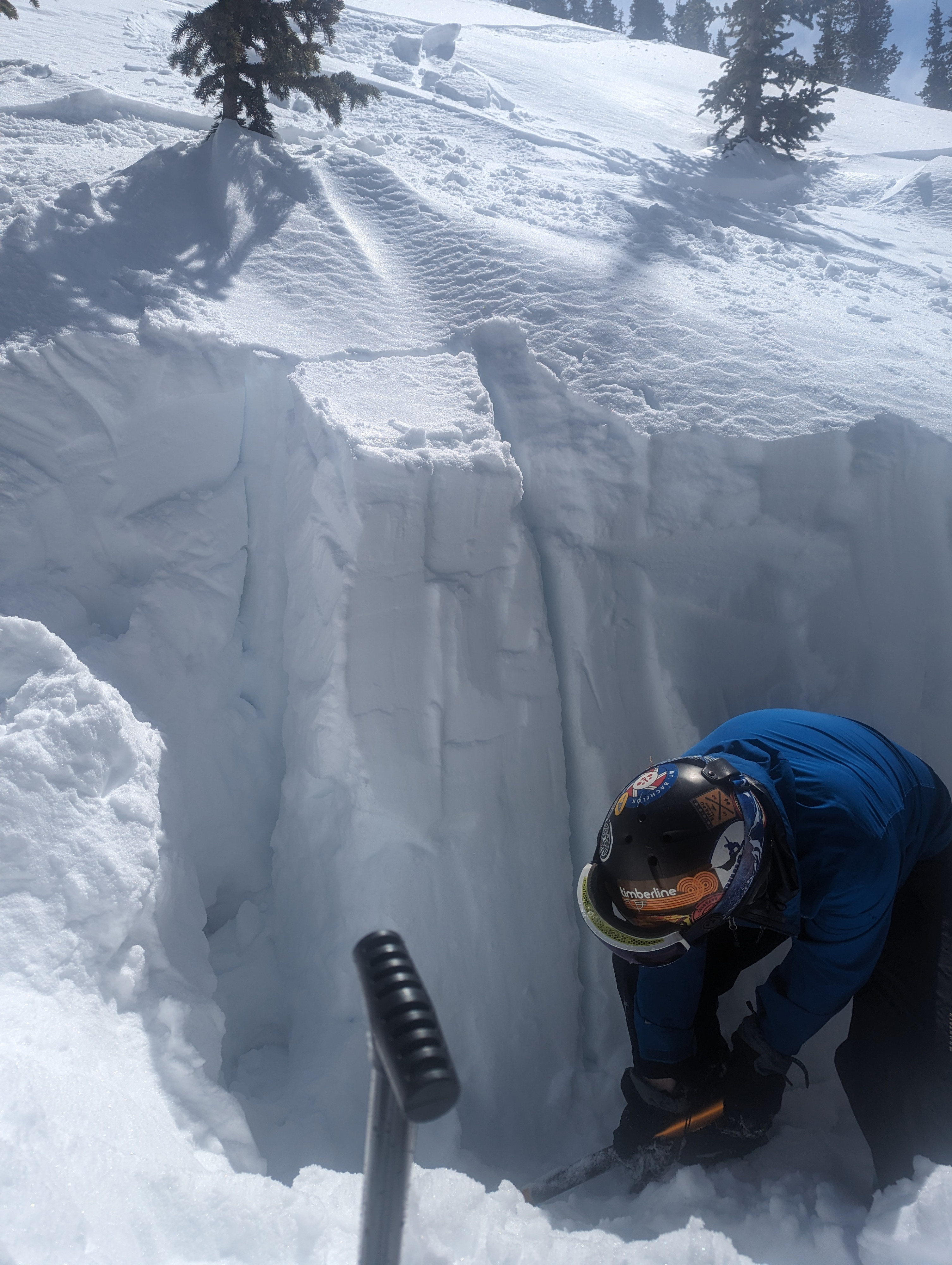
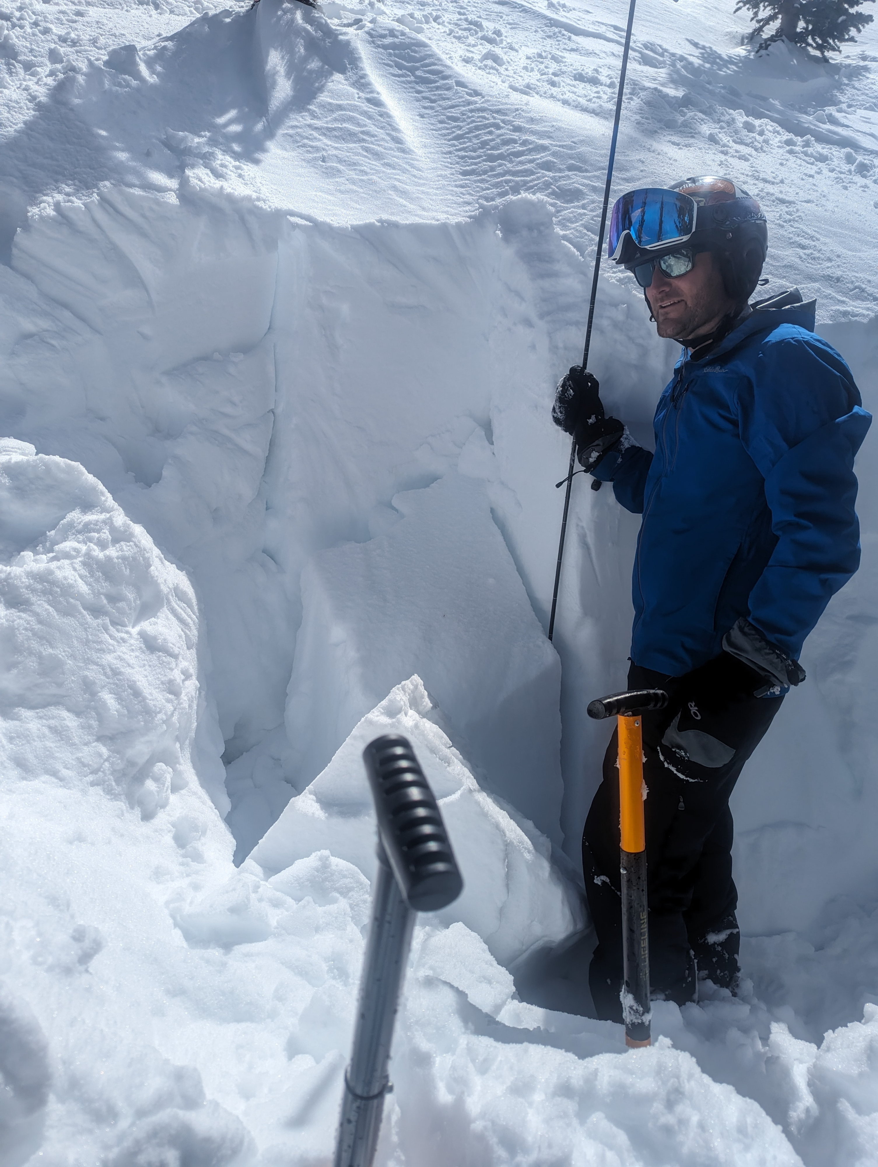
We dug a quick test pit as we approached the trees on the S side of Allison Clay, as the ridge rolls over coming from the B24 crash site. We had found nice soft snow on N micro aspects in the trees and we considering skiing the trees just below our pit location (35.342191,-111.689086). Sunny, light wind, 1pm. We sited our pit in 10' spaced trees on the ~40 degree slope representative of what we were considering riding. Total snow depth ~180 cm, facets at 100cm (80cm from surface) to ground. The recent storm layer formed a consolidated layer (four fingers) about 70cm deep from the surface, with a slightly harder (one finger) 10 cm layer above the facets that went to the ground. Our 30x30cm column test broke loose at the facet/recent storm layer after 15 taps (10 hand 5 forearm). We decided to make our way back to the W face away from the AC gully and rode back through the trees towards Dutchman and the resort. It's clear that the trees in the area we were considering were younger than the mature forest on the W face adjacent to the south, and it's obviously ripped through there before. Some softball-basketball sized roller balls coming down the main chute of Allison Clay, along with a few relatively recent ski tracks.