
Quick report
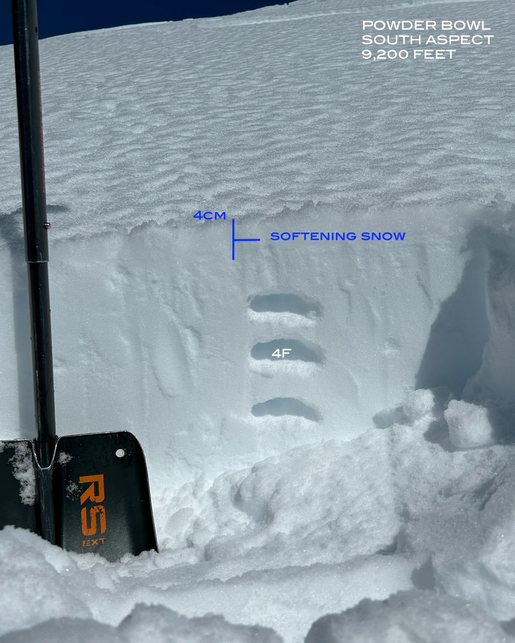
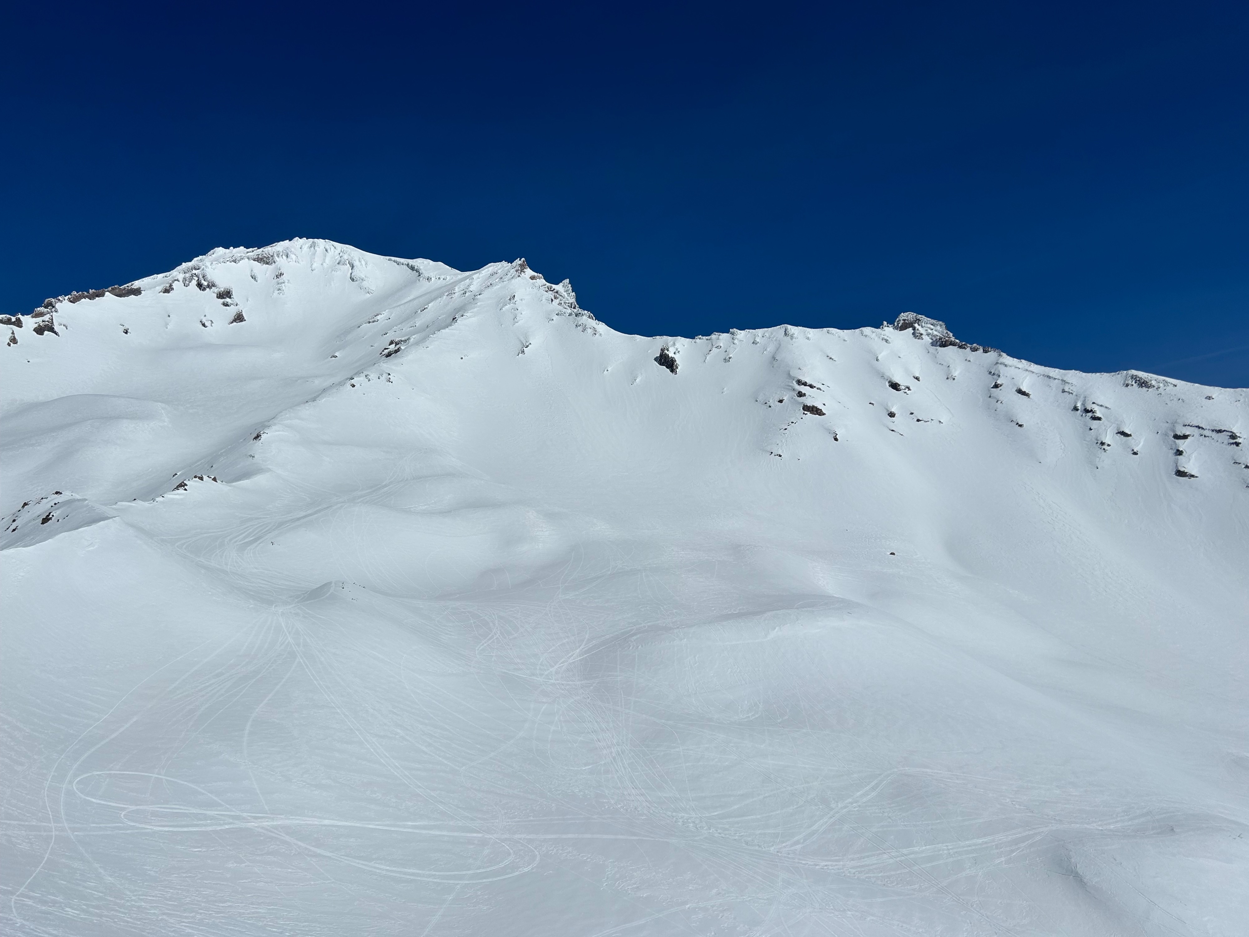
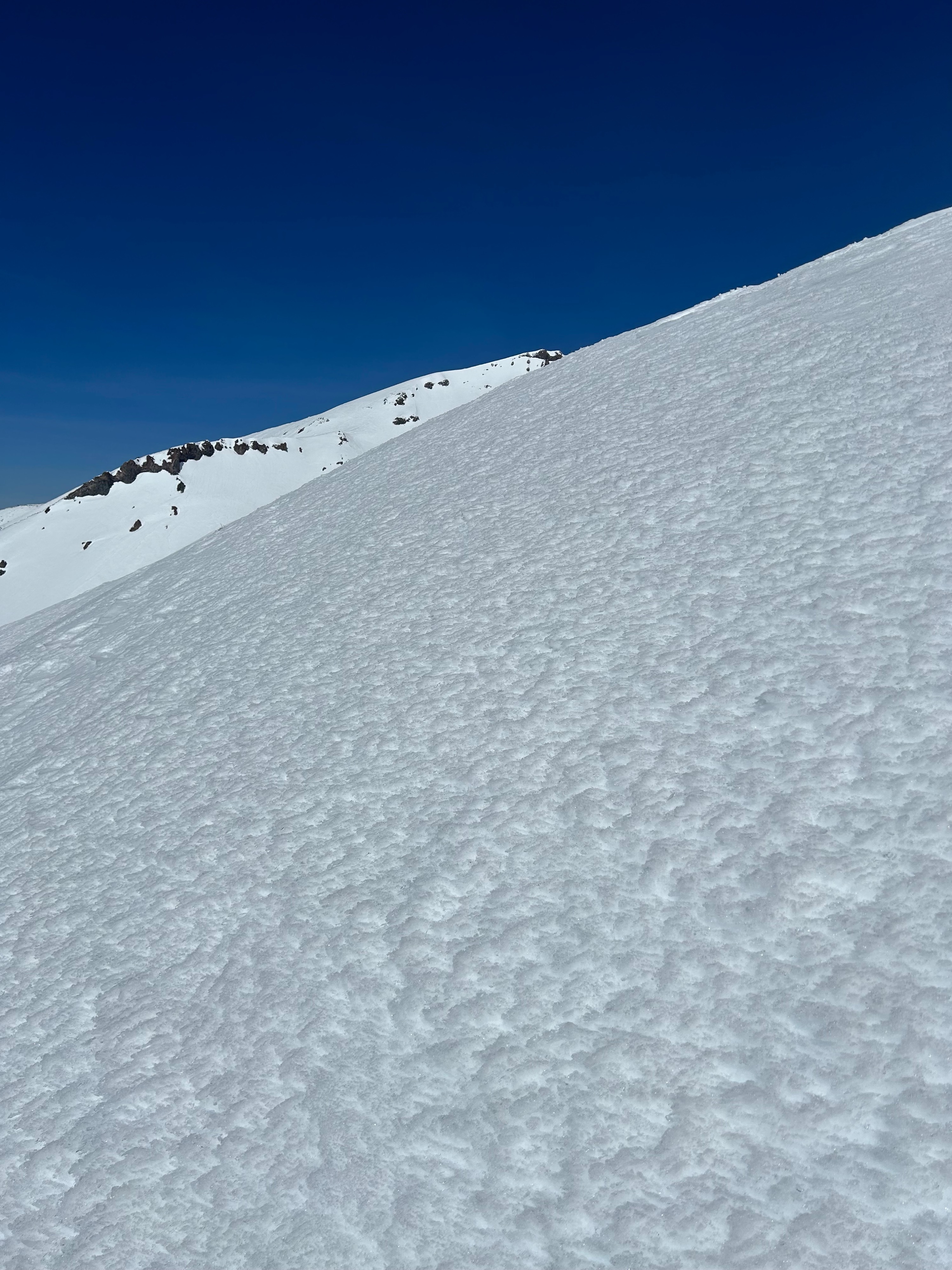
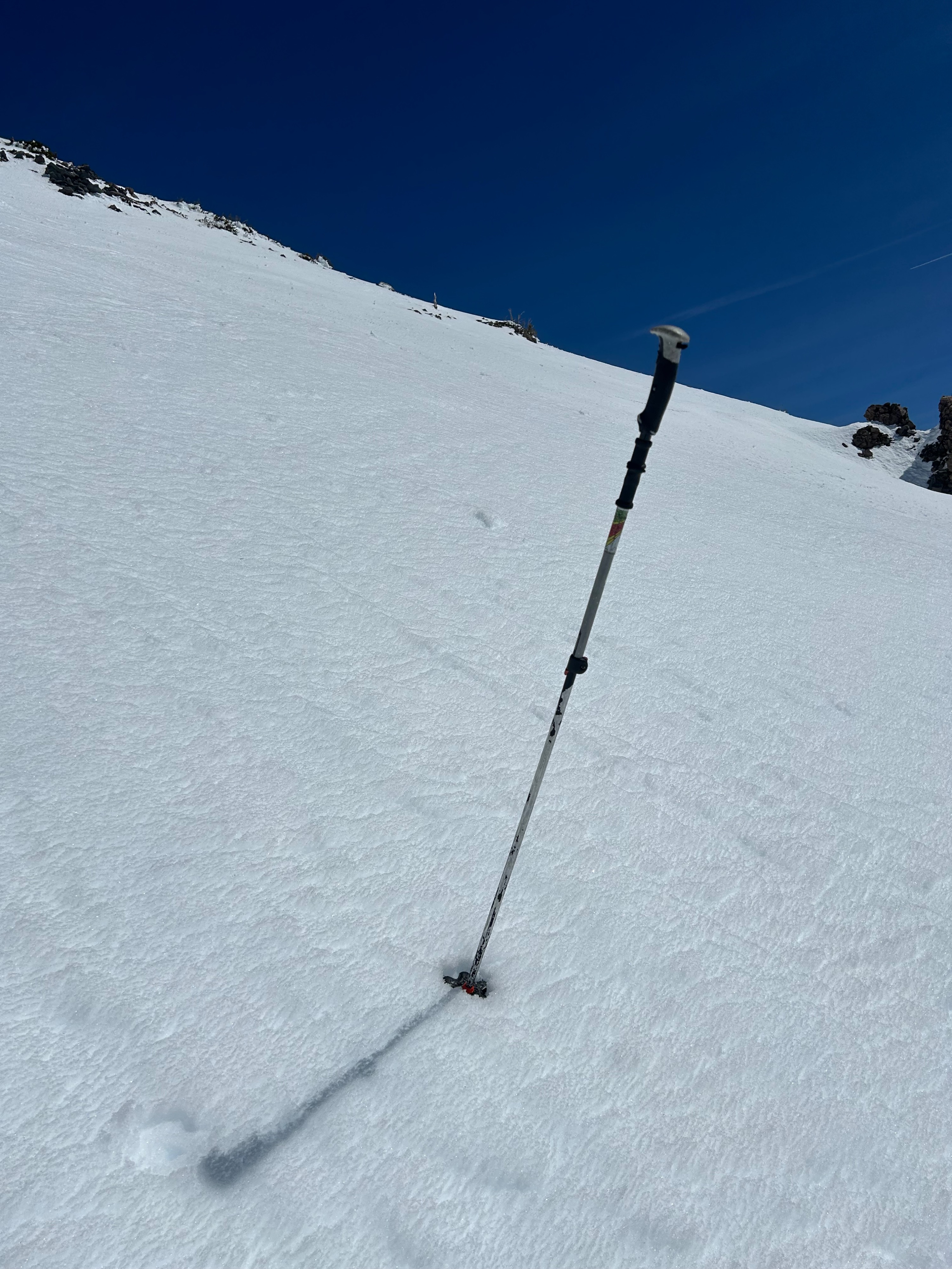
Little to no wet-loose avalanche activity was observed today. The only signs were small roller balls beneath rock outcroppings near treeline. Slowly but surely, surfaces are softening. However, it's taking longer than expected due to the compacted and dense nature of the snowpack. At all elevations, south and east aspects are warming the quickest, with the most significant impact near and below treeline. Above treeline, on a south aspect, the top 4 cm of melt snow provided excellent riding conditions without causing larger amounts of snow to move or be entrained. West and north aspects remain relatively firm and will need more time to truly soften. Surface conditions below treeline are extra wet and sticky because of last night's poor re-freeze. Travel cautiously so to not injury yourself. From a far, the upper mountain continues to display large amounts of rime ice and firm surfaces. Reports from weekend climbers confirm heinous ski conditions above Helen Lake, with small amounts of falling rime ice during the first half of the day.
Weather
- Air Temp
- 42
- Cloud Cover
- clear
- Wind Loading
- none
- Recent Snowfall
- 0
- Snow Avail For Transport
- none
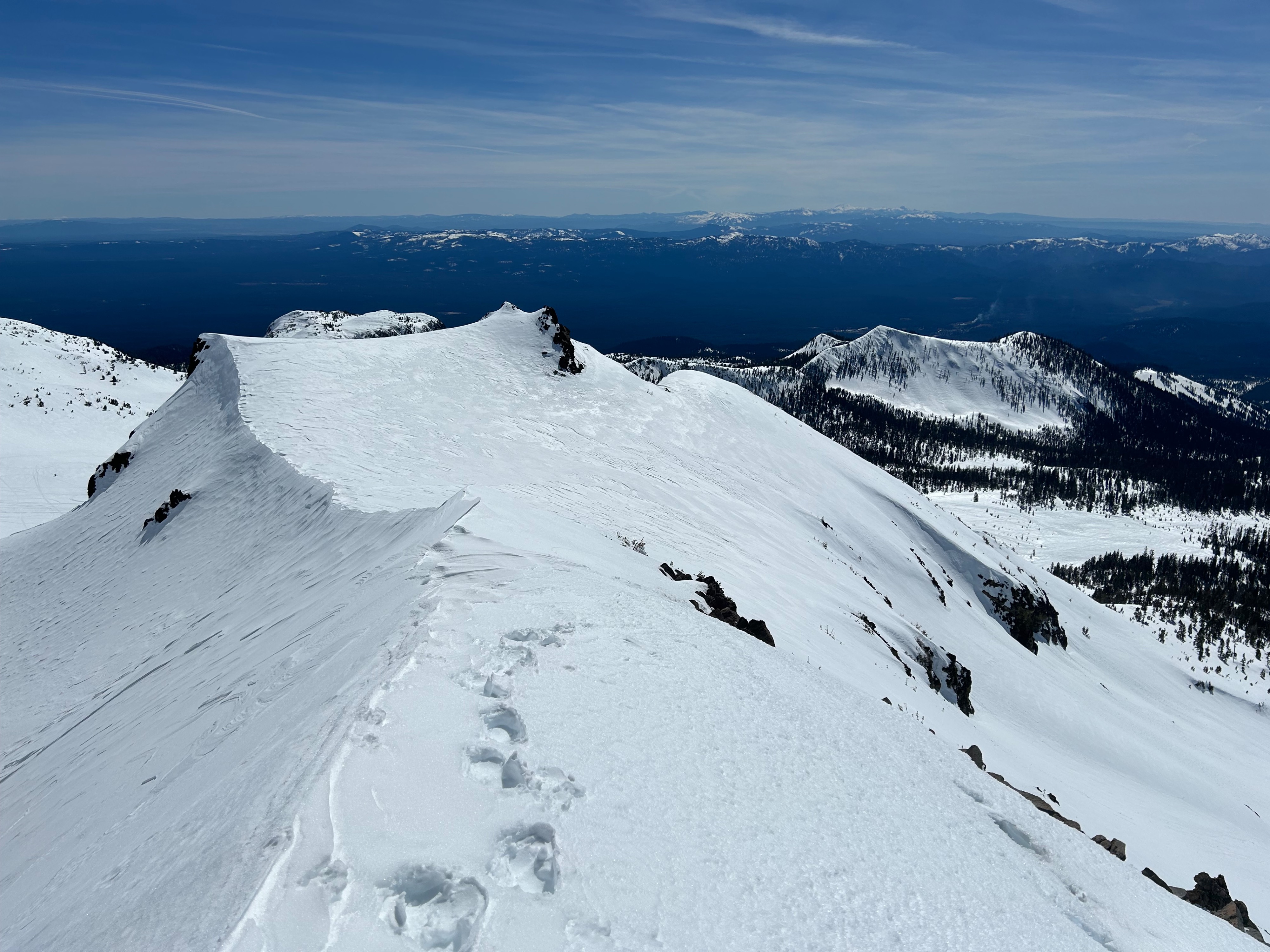
Blue bird skies with a calm breeze over ridge tops and above freezing temperatures made for a spring-like day on Mount Shasta.
Snowpack
The snowpack is experiencing a melt freeze cycle, with most impact near and below treeline on solar lit slopes. Many areas experiencing warming are still not unstable enough to produce any natural wet-loose avalanche activity. However, small human triggered avalanches remain possible, especially during the second half of the day. These will be most likely on steep solar lit slopes near rock outcroppings because of the extra radiation they give off, which helps soften the surrounding snow.