
Quick report
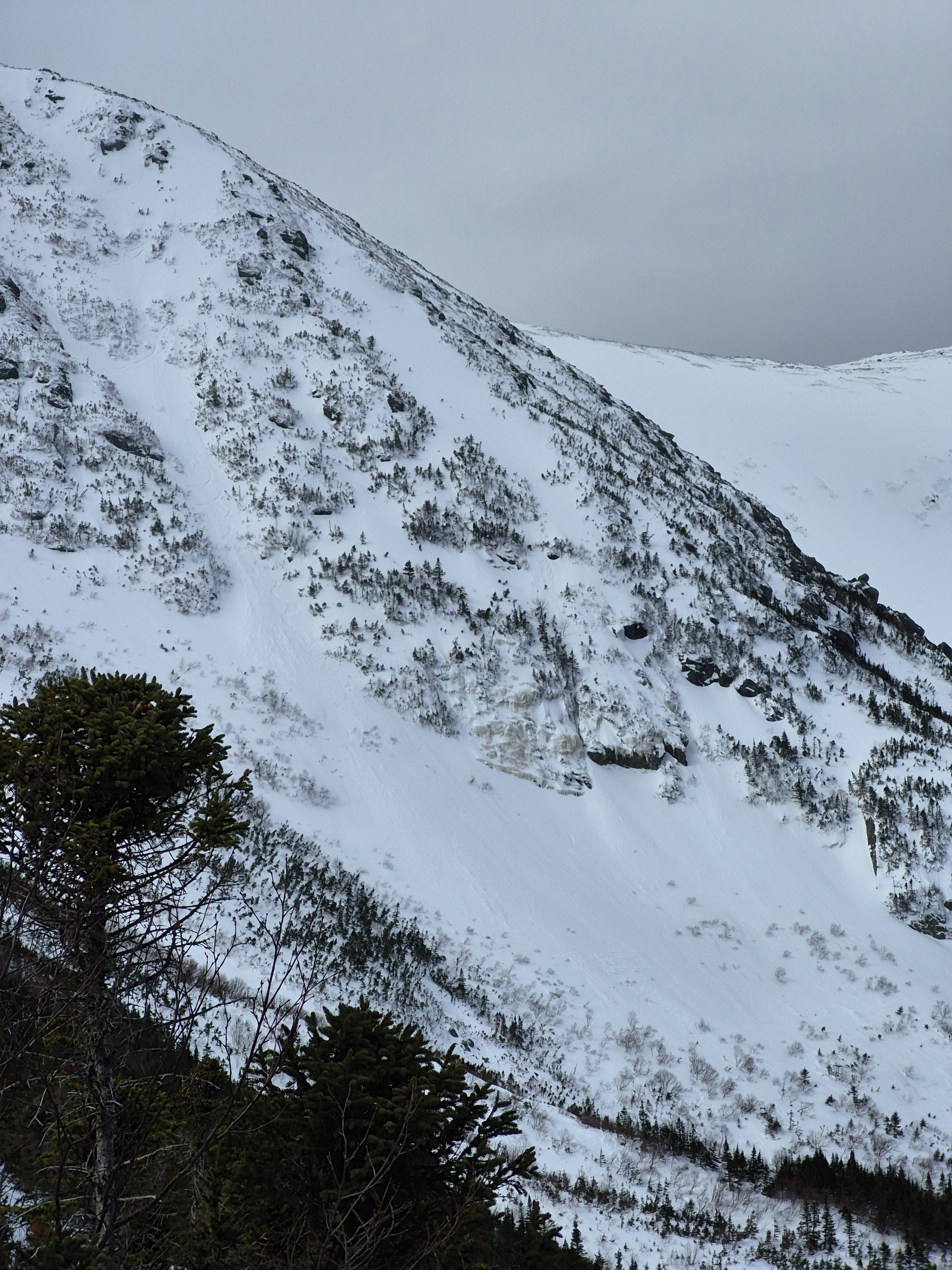
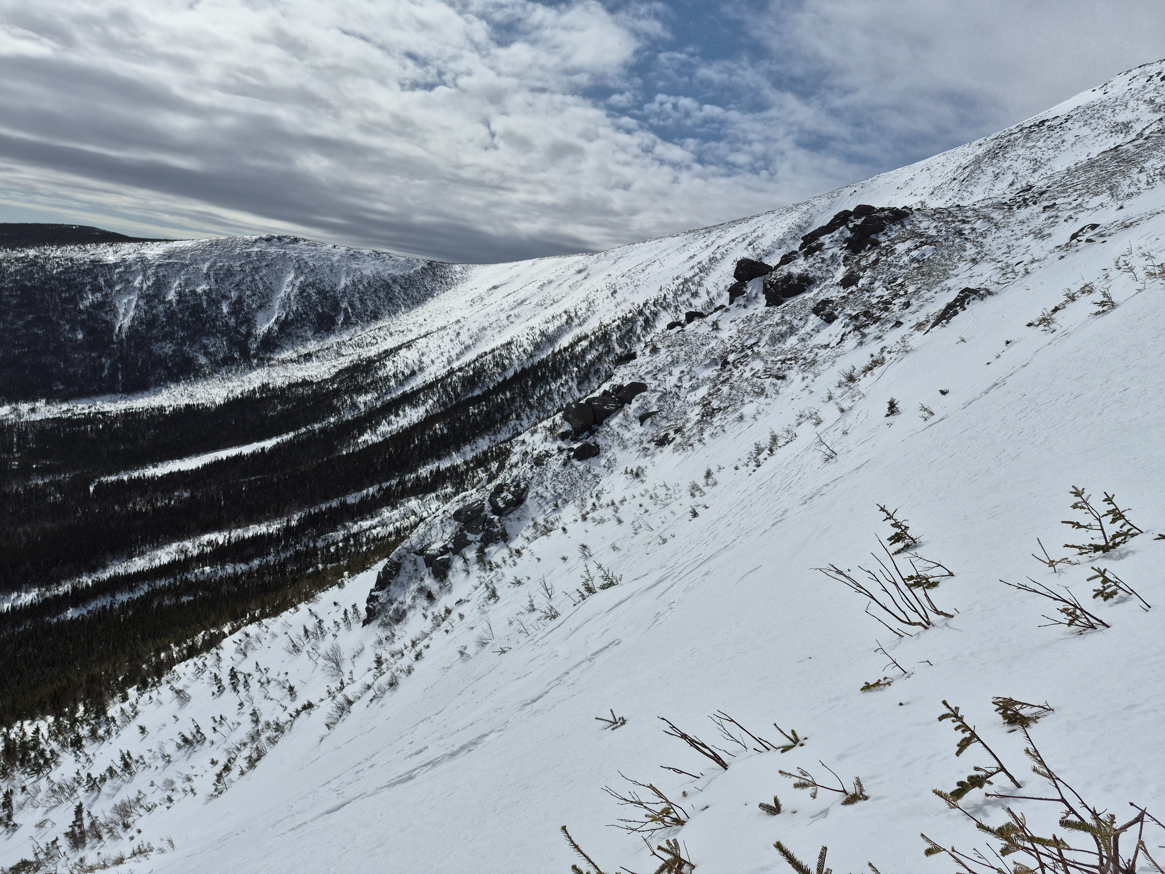
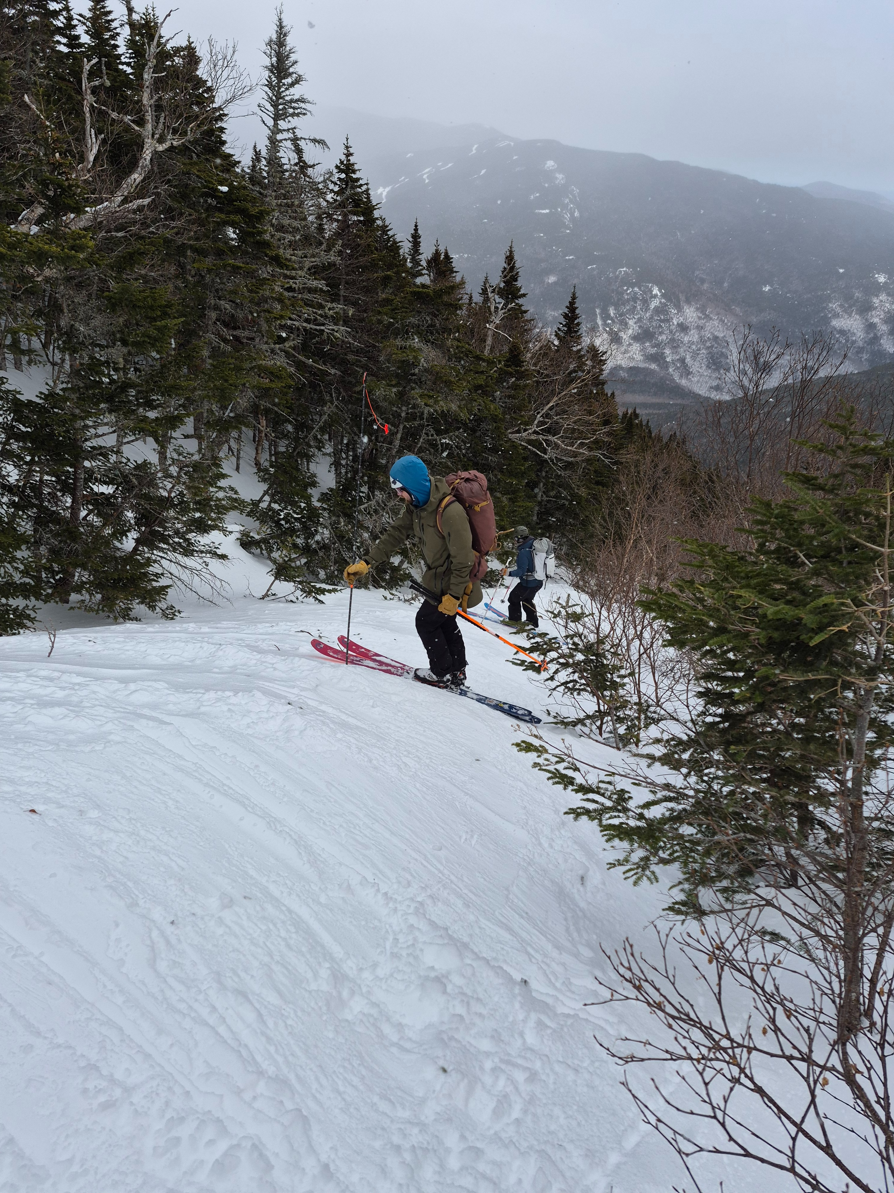
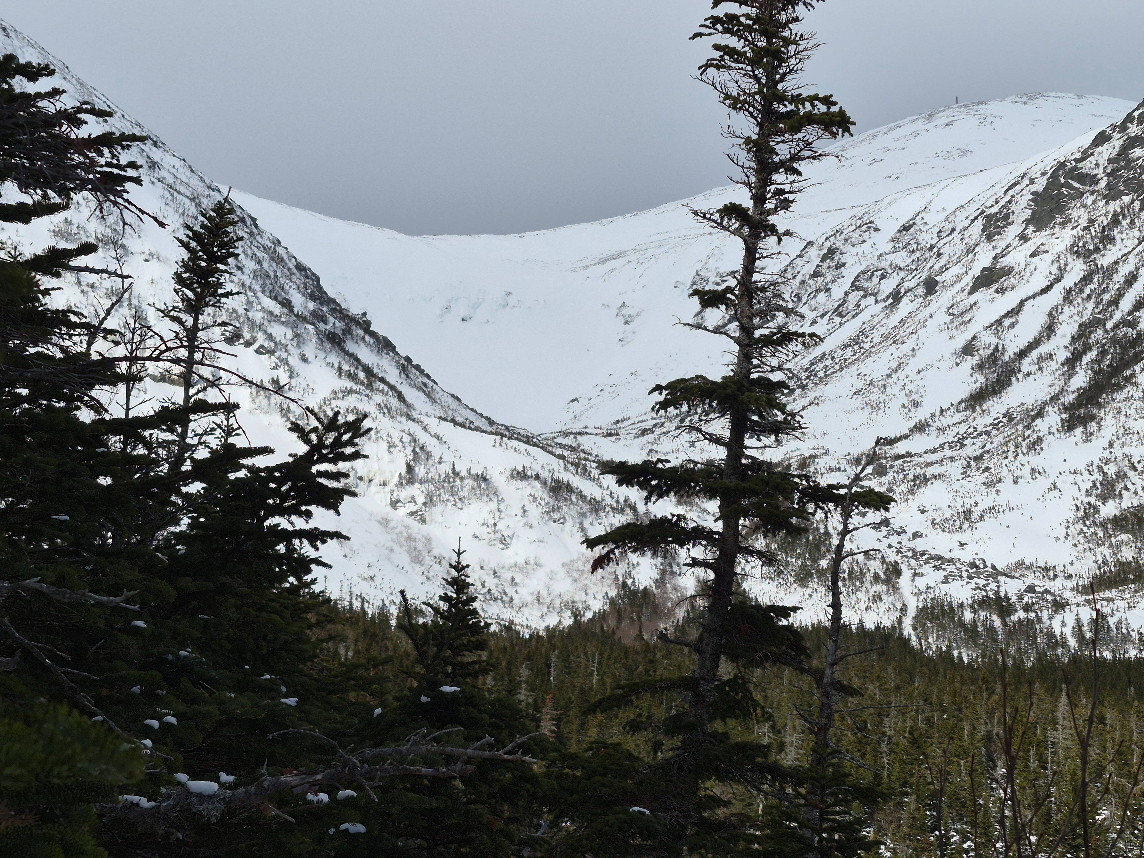
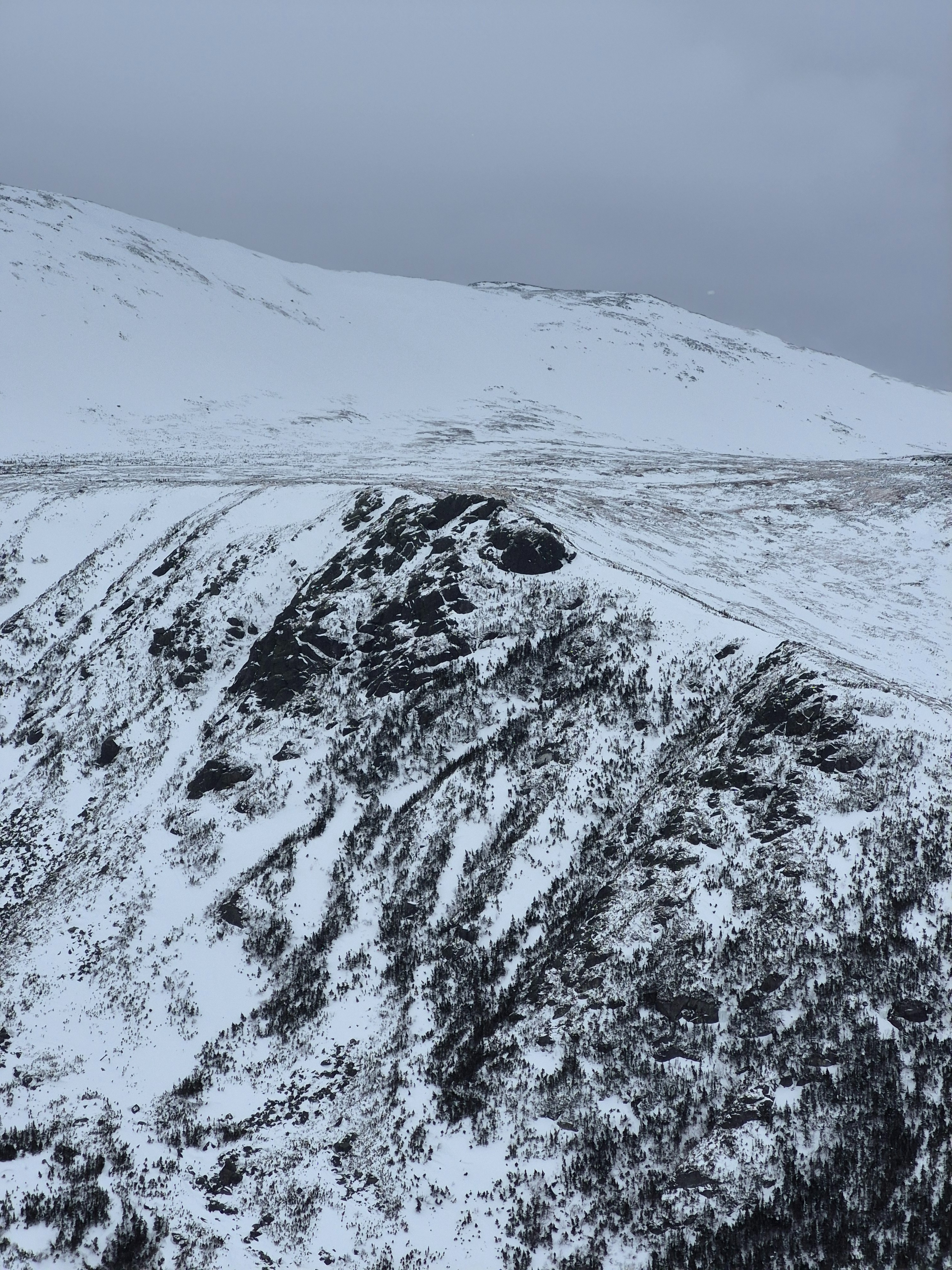
A generally stable snowpack was observed on the mid-elevation, south and southeast facing slopes of Gulf of Slides. Small wind slabs were patchy and variable in this area with an unreactive (but occasionally stubborn) sensitivity. At start zone elevations, a slick crust was buried shallow in the snowpack, and exposed in many areas, recent wind drifted snow was well bonded to this layer. Descending from 4700 feet, a mixture of unconsolidated soft snow, stiffer wind slab, firm wind-textured snow, and scoured crusts were observed. Variable is a good way to describe the current snow surface.
Terrain with a more easterly tilt appeared to have more softer snow, an increased potential for a slightly thicker wind slab, and less scouring than south-facing terrain.
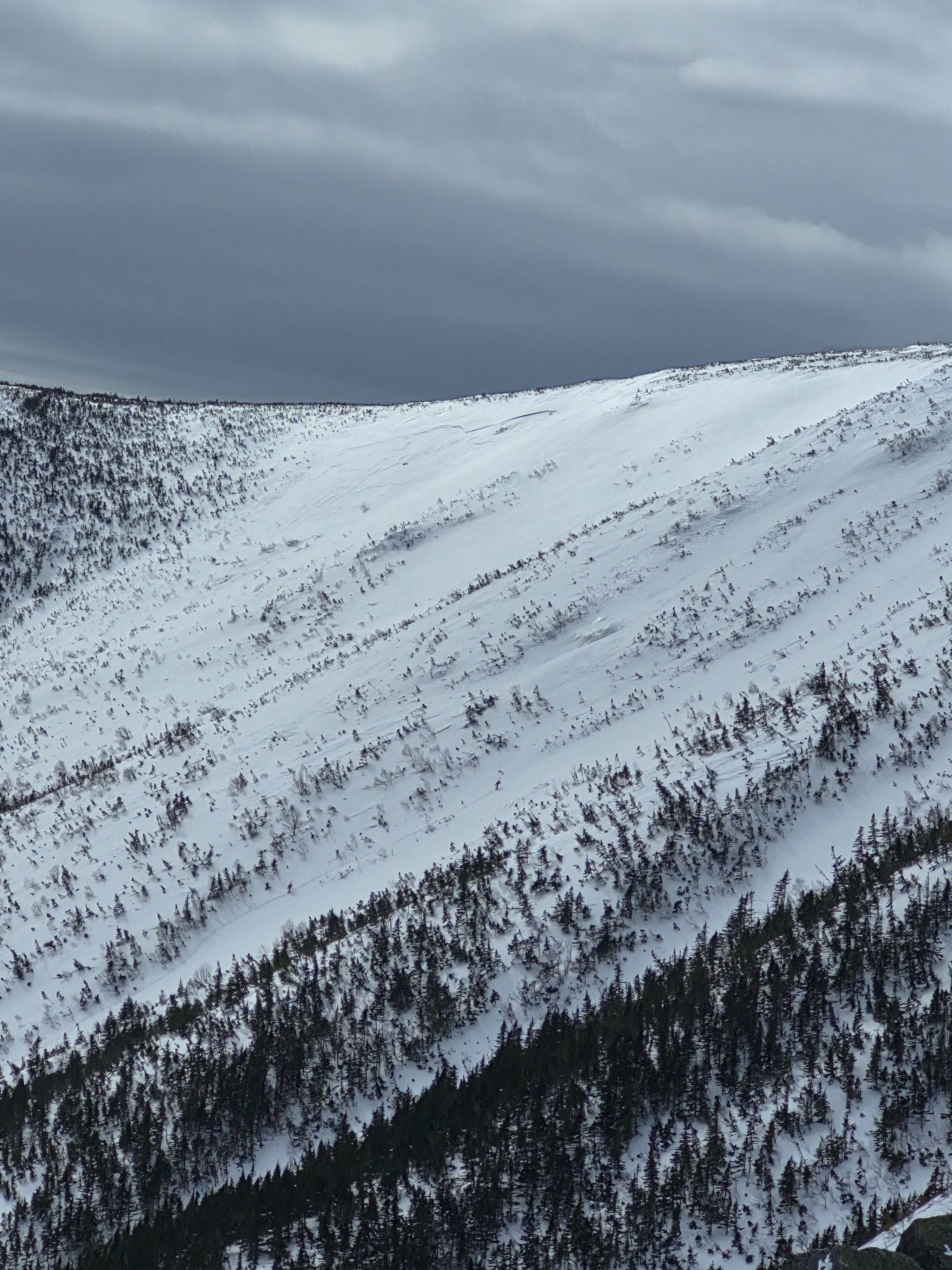
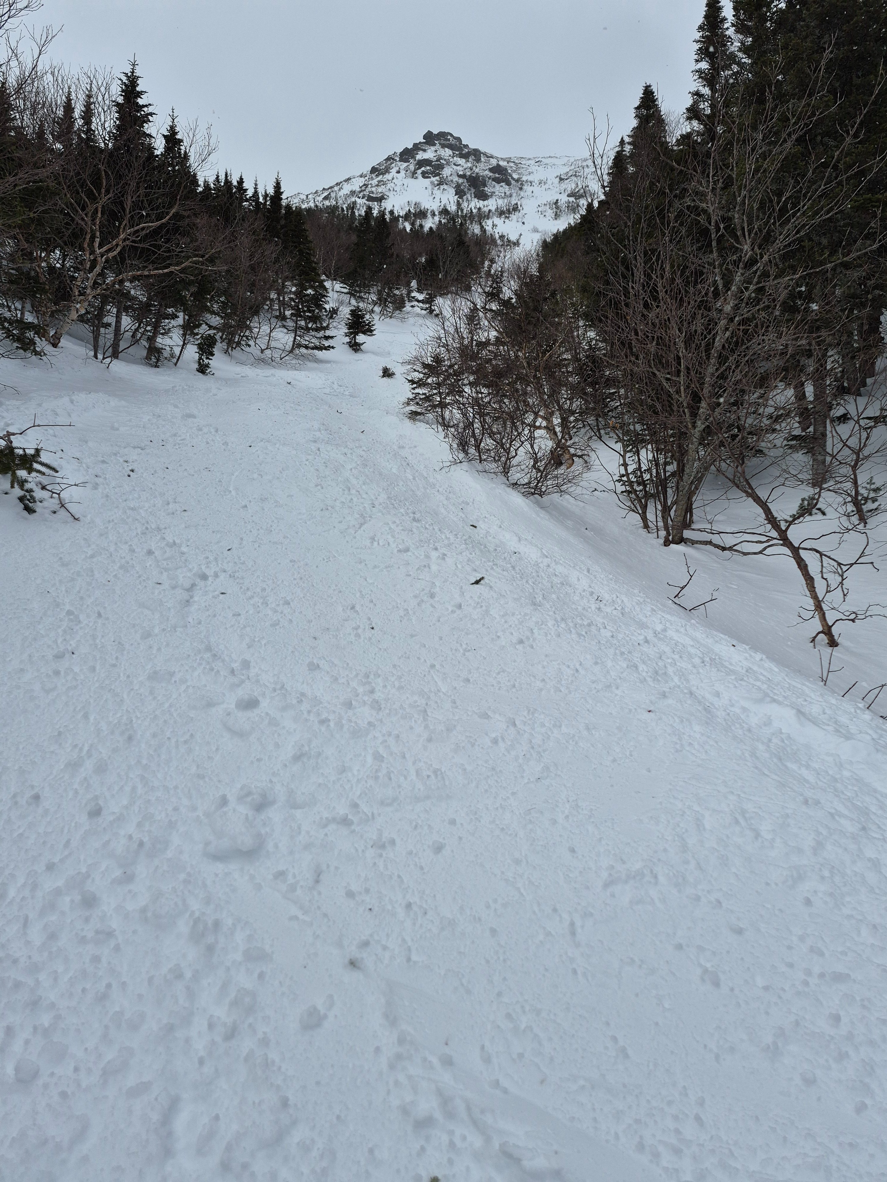
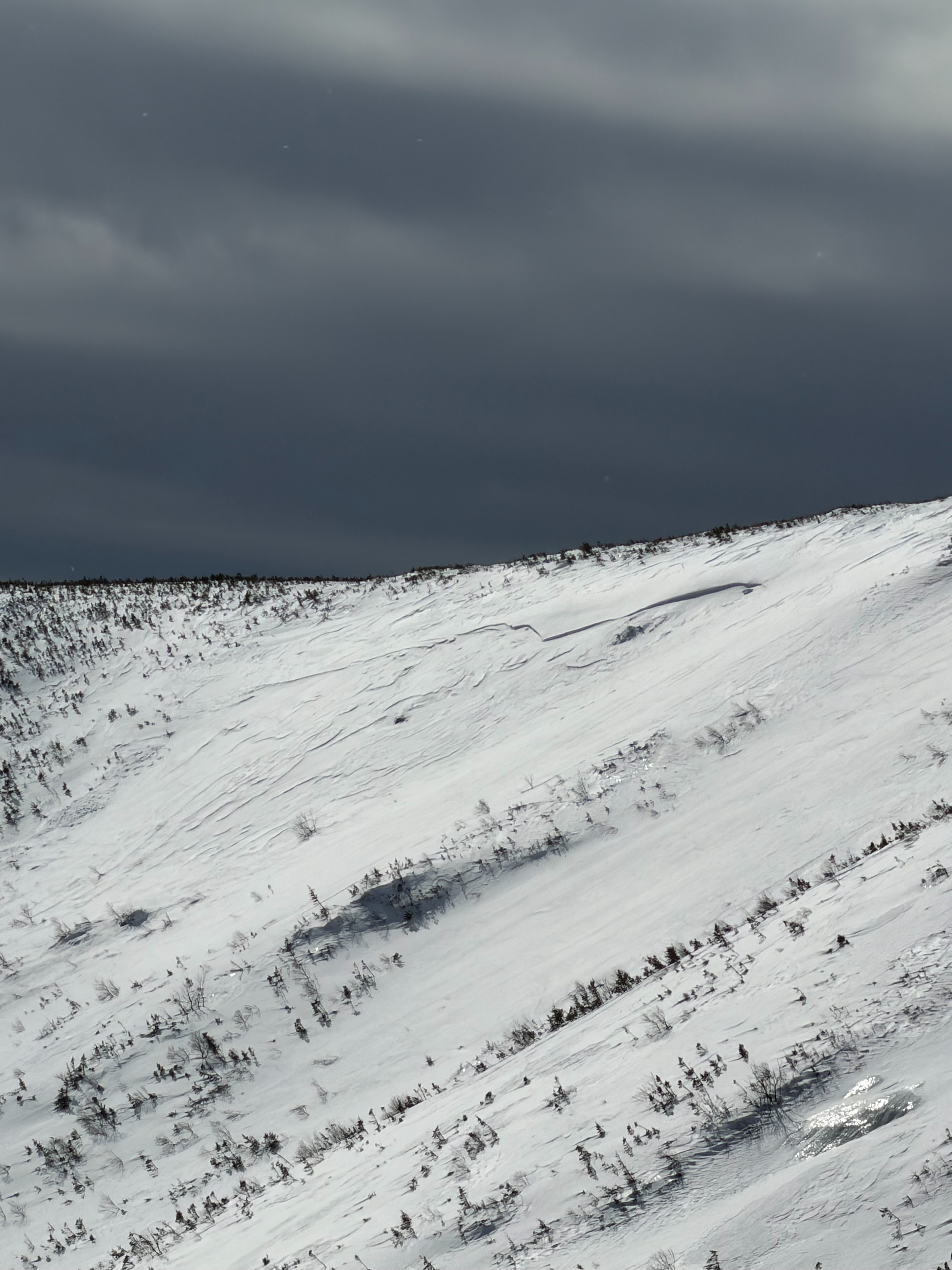
Remnants of small wind slab avalanches were visible in the south snowfiels of Gulf of Slides, and at our location in Gully 6. It's likely that these avalanches occured naturally sometime between the 25th and 26th as west and northwest winds increased after a recent storm total of around 3.5 inches of snow. See the avalanche occurances linked in this observation for more information.
Weather
- Air Temp
- Mid 20s
- Cloud Cover
- overcast
- Wind Loading
- none
- Recent Snowfall
- Trace
- Snow Avail For Transport
- small smounts
Mild temperatures with increasingly overcast skies through the day. Sporadic snow flurries midday.
Avalanche
Two recent avalanches were observed in the South Snowfields and Gully 6 in Gulf of Slides. It's likely these avalanches occured sometime between the 25th and 26th as west and northwest winds increased after about 3.5 inches of new snowfall between the 23rd and the 25th. Avalanches were relatively small in size, with thin crown heights, but were able to propagate a couple hundred feet across in each case.