
Quick report
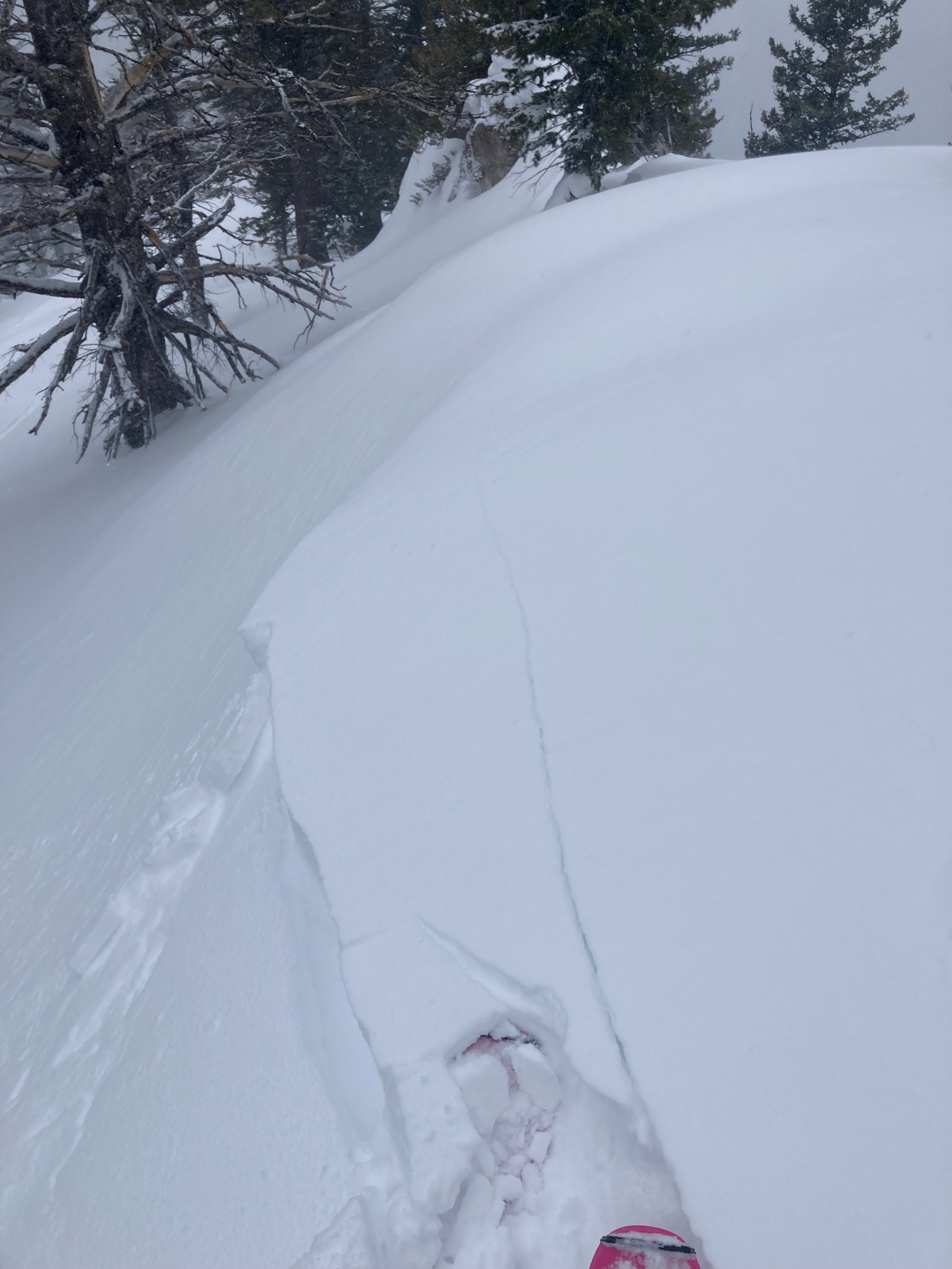
- Cracking
- isolated
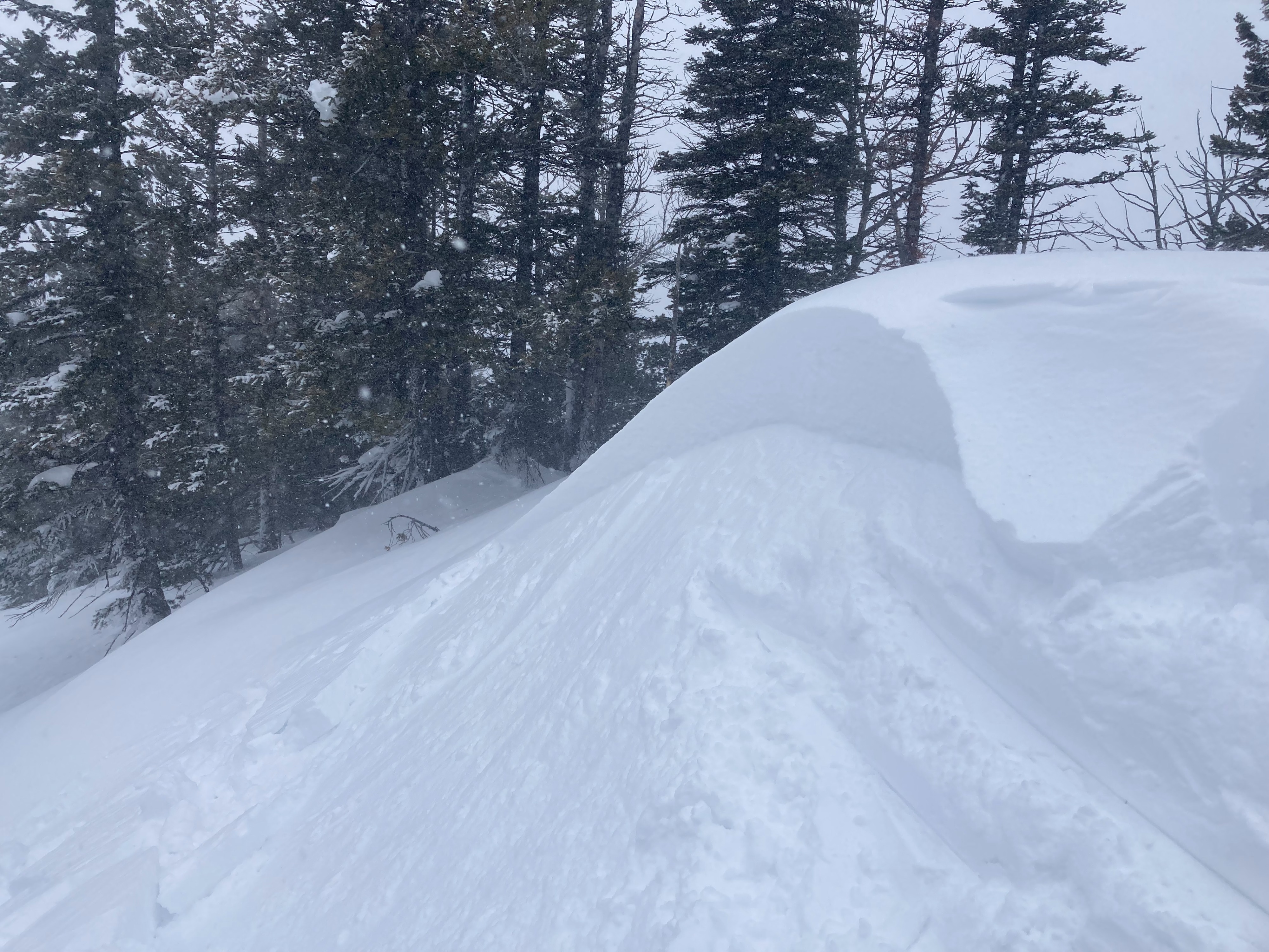
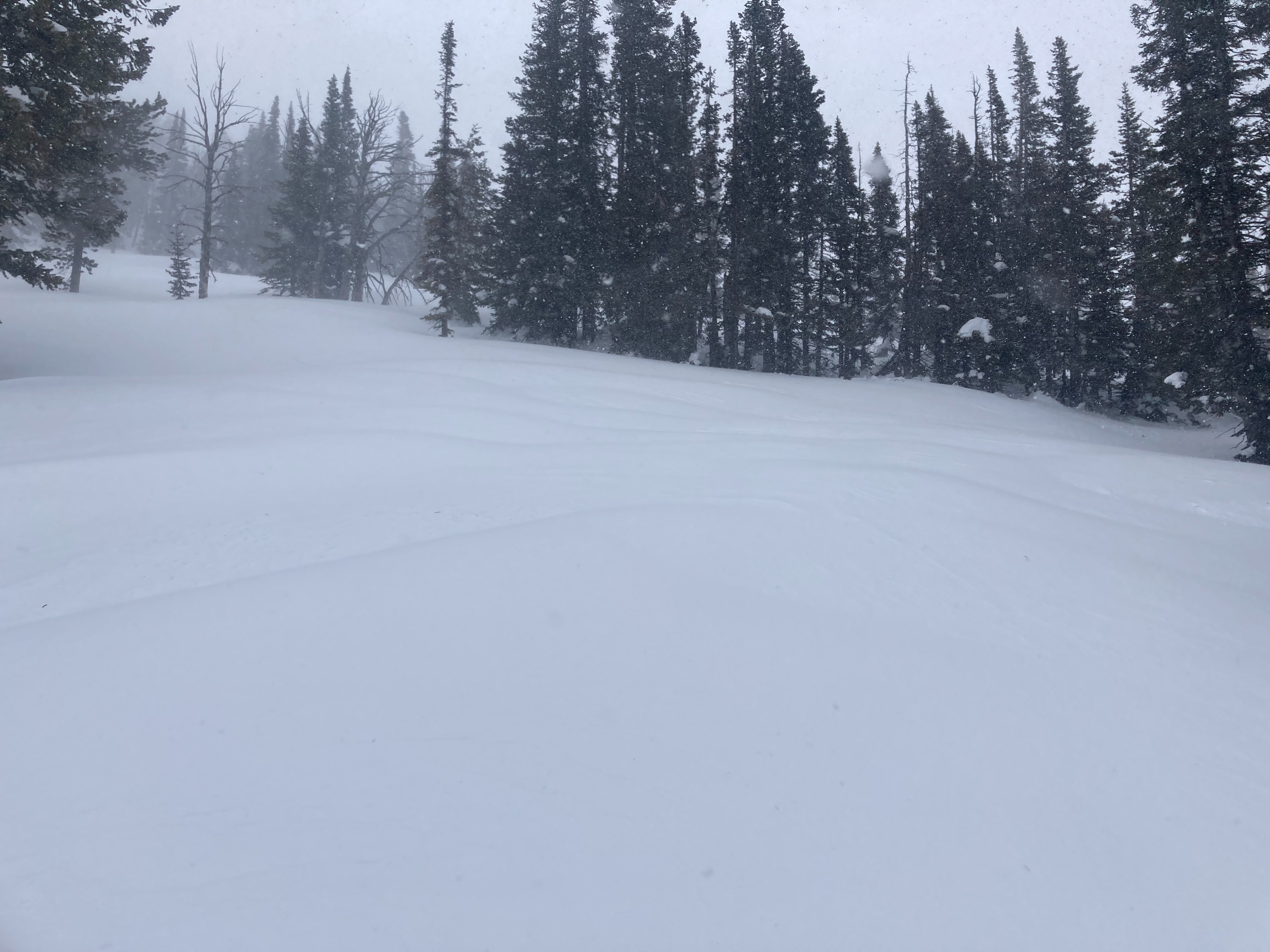
Toured up to 9,500' on Taylor to see how the storm is progressing. At 2pm, there was about 2" of new snow from the parking lot to about 8,000'. Above 8,000', strong winds were actively transporting snow across slopes making it difficult to determine how much new snow had actually fallen. The skin up alternated between firm crust where the wind had stripped snow and dense pillows where it had deposited it. Little cracking was observed while traveling through these pillow features.
It was easy to trigger small pockets of sluggish wind slab on test slopes along exposed ridge lines. These slabs were at most 6-12" inches thick and quickly tapered to 1-2". They were composed of both new and old snow from the past few days of windy conditions. Overall, there wasn't enough new snow to create "dangerous" avalanche conditions in the majority of the terrain I observed. However, snowfall was picking up when I left at 4pm and could make for heads up conditions tomorrow if the forecasted totals pan out.
Weather
- Air Temp
- 25
- Cloud Cover
- overcast
- Wind Loading
- moderate
- Recent Snowfall
- 2"
- Snow Avail For Transport
- small smounts
Light to moderate snowfall throughout the tour. Windy above 8,000'.