
Quick report
- Cracking
- isolated
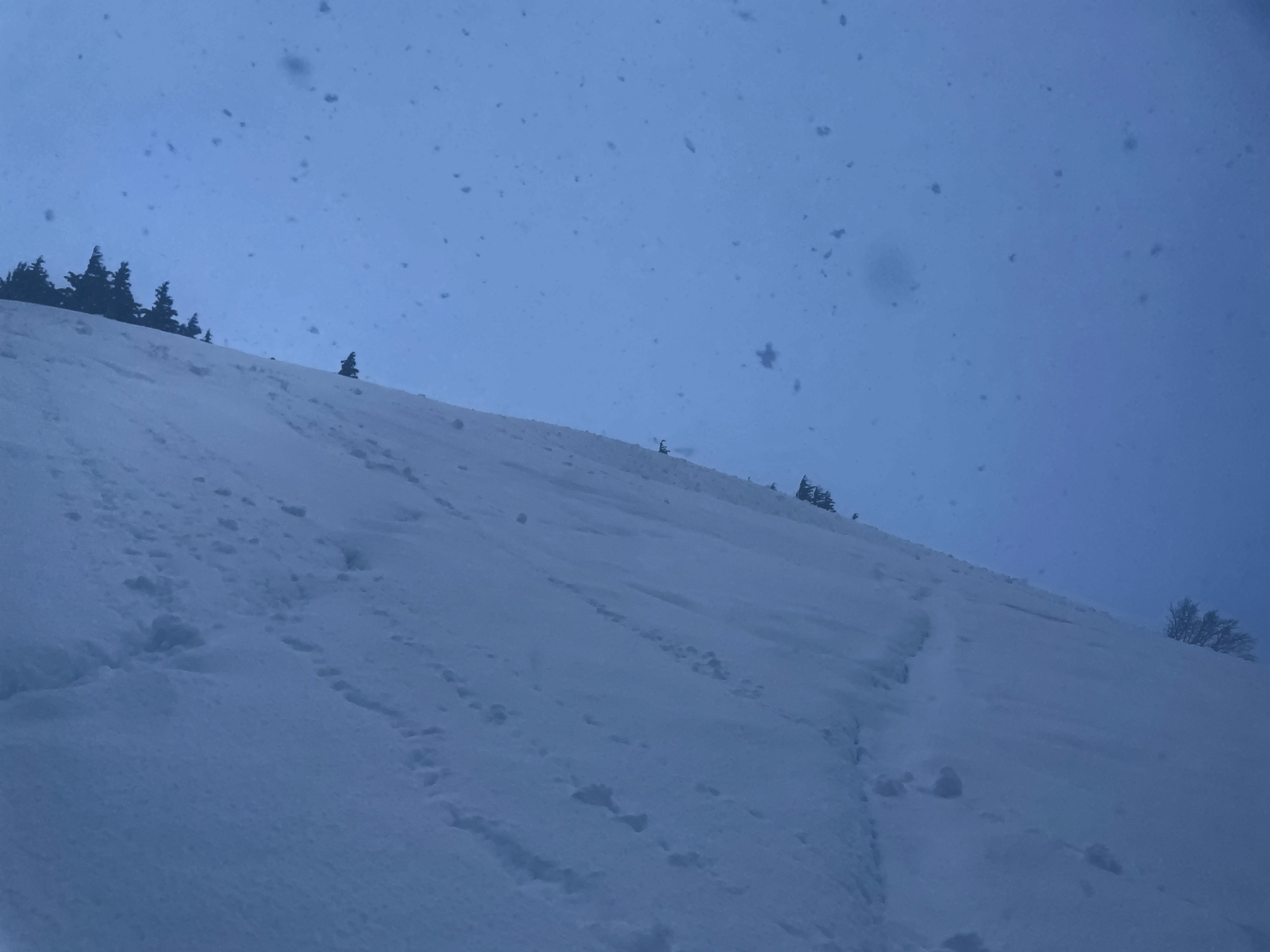
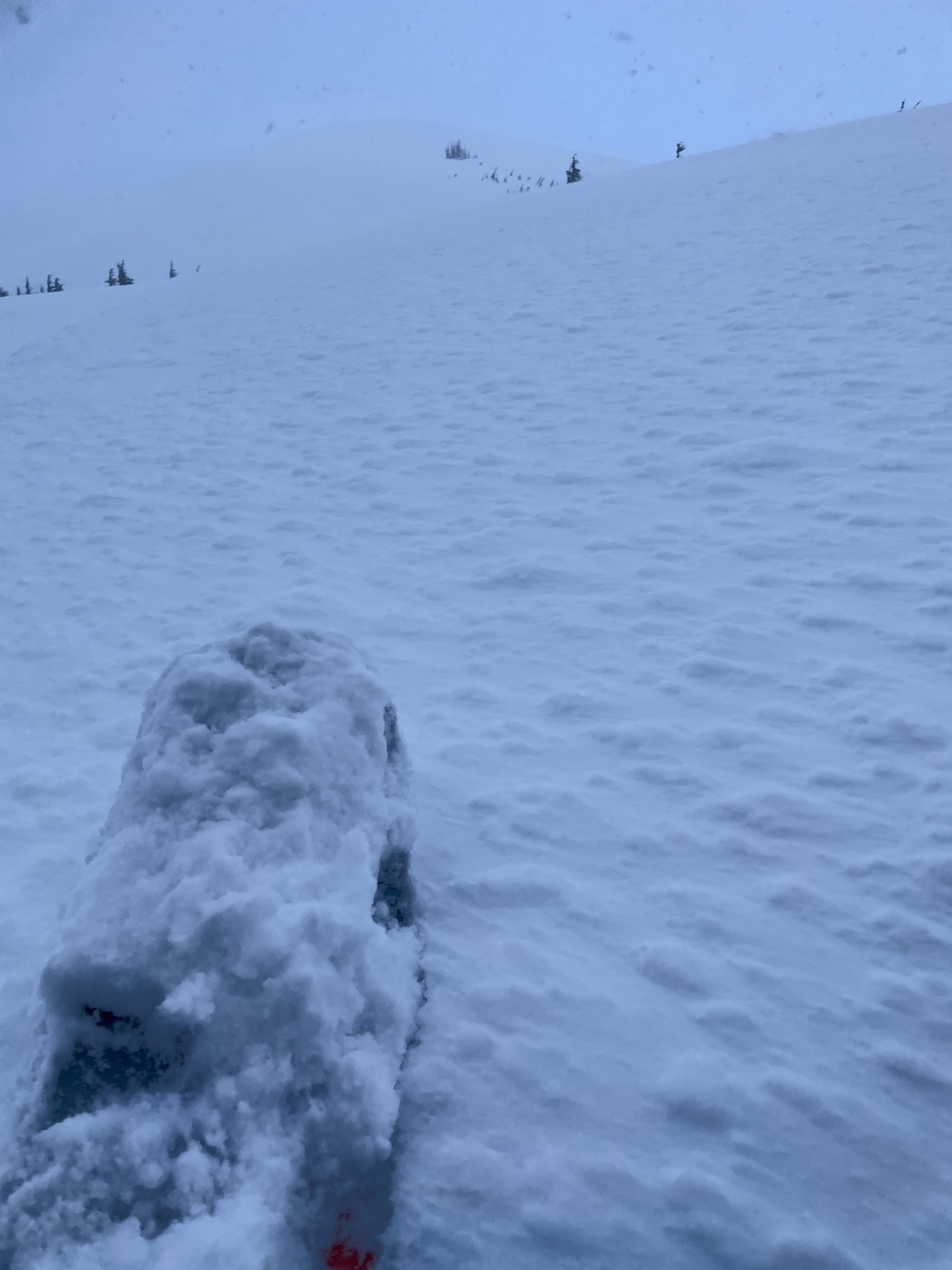
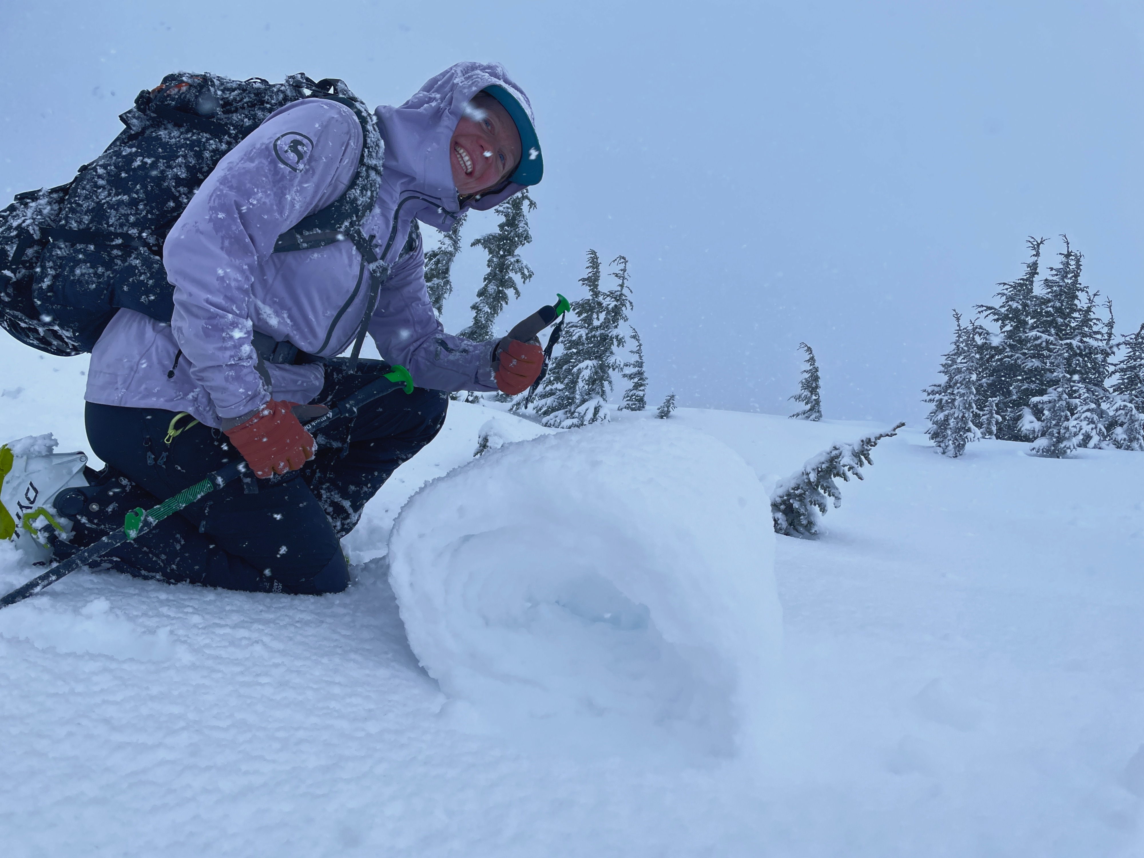
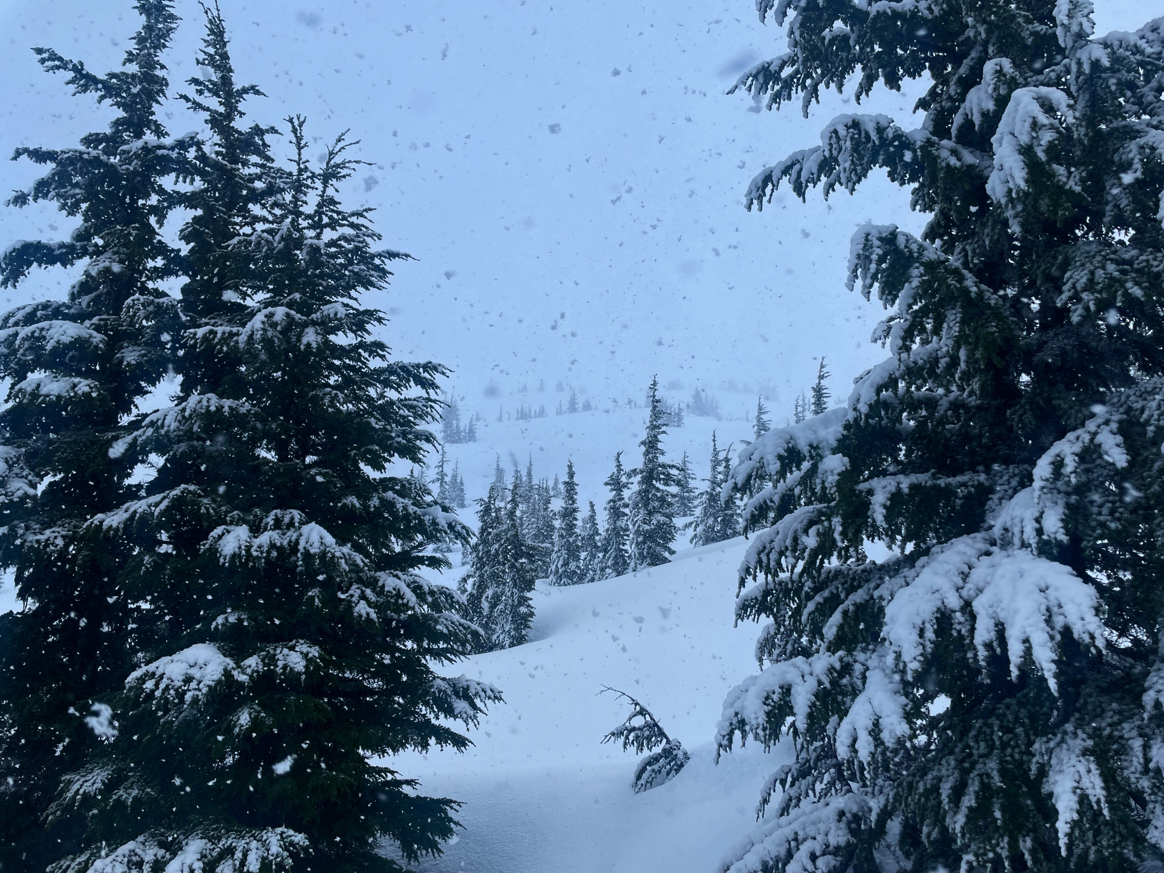
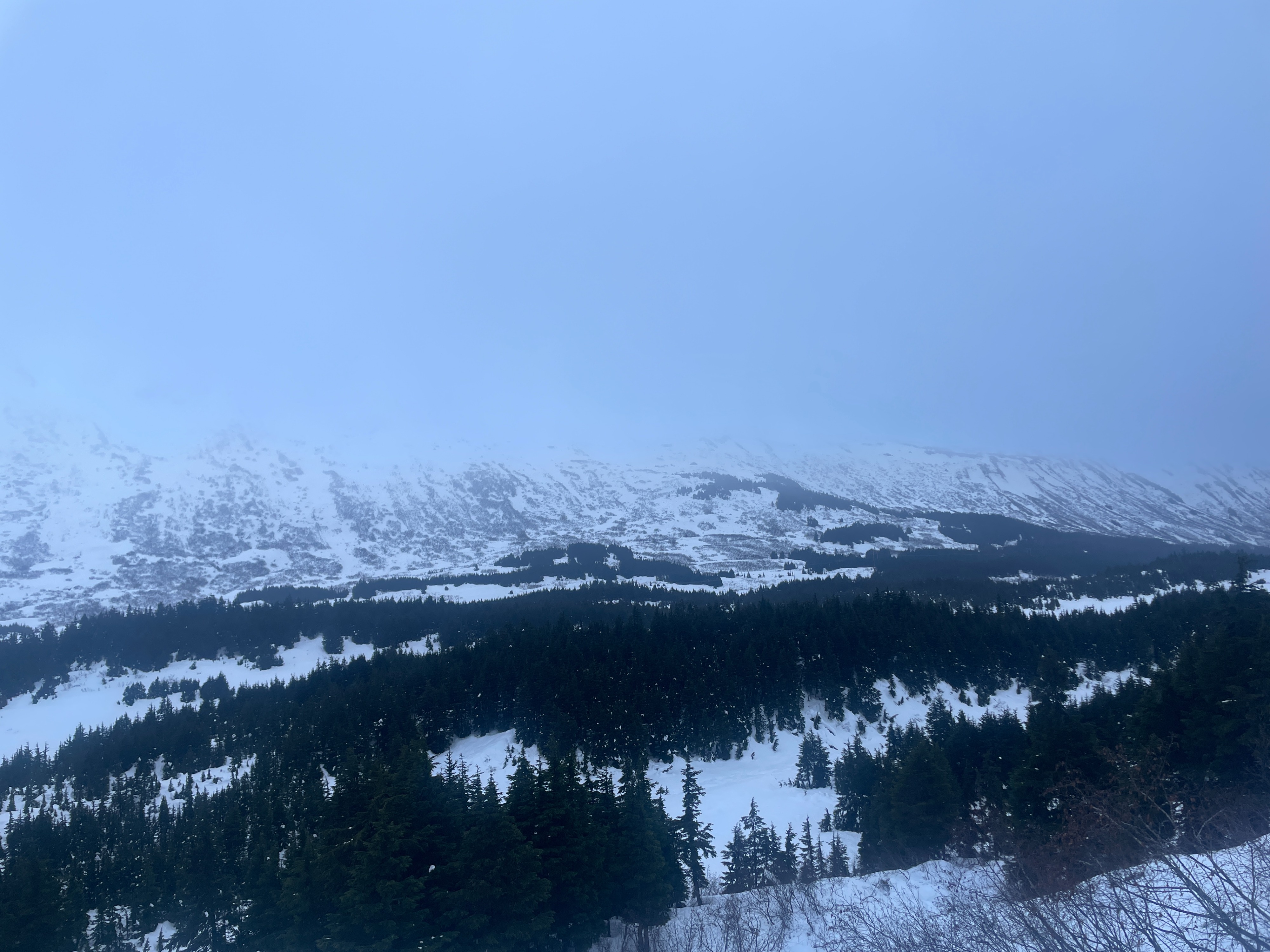
We got in one fun but soggy run in the Tincan trees before heading back to town like a couple of wet cats. It was raining up to 1500', with intense snowfall above that. There was about 6 to 8" new snow at 1500', and 8 to 10" by 2300'. We did not see any fresh avalanche activity, but visibility was very limited.
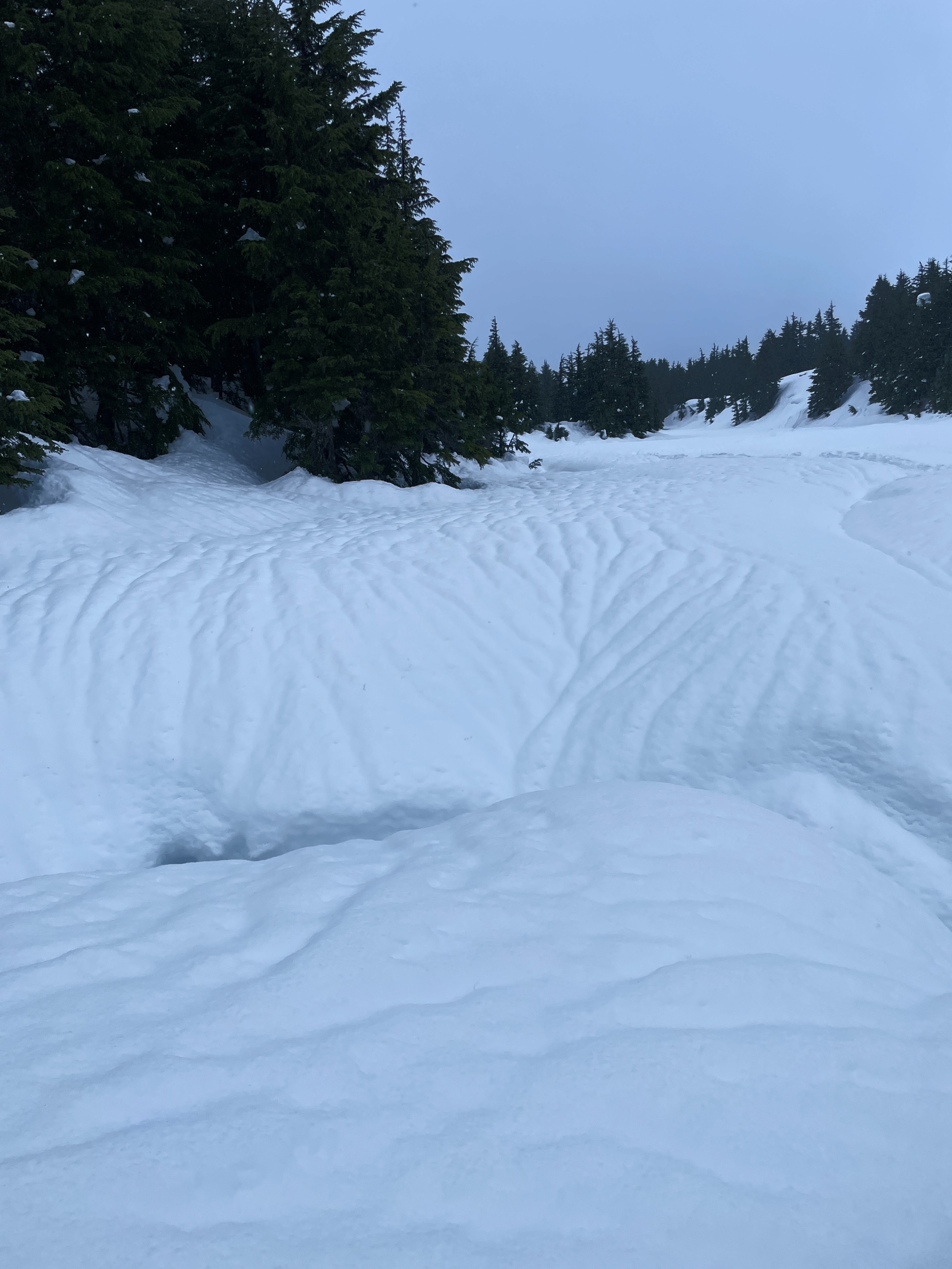
The first part of this storm has come in warm and upside down, with a low-density layer of storm snow at the bottom of the fresh storm slab, capped by a very wet layer. Winds were strong out of the northeast, moving a lot of snow and creating a fresh rime crust on some slopes above 2000'. This storm is adding more stress to the deeper weak layer of facets, now likely buried 2 to 5' deep.
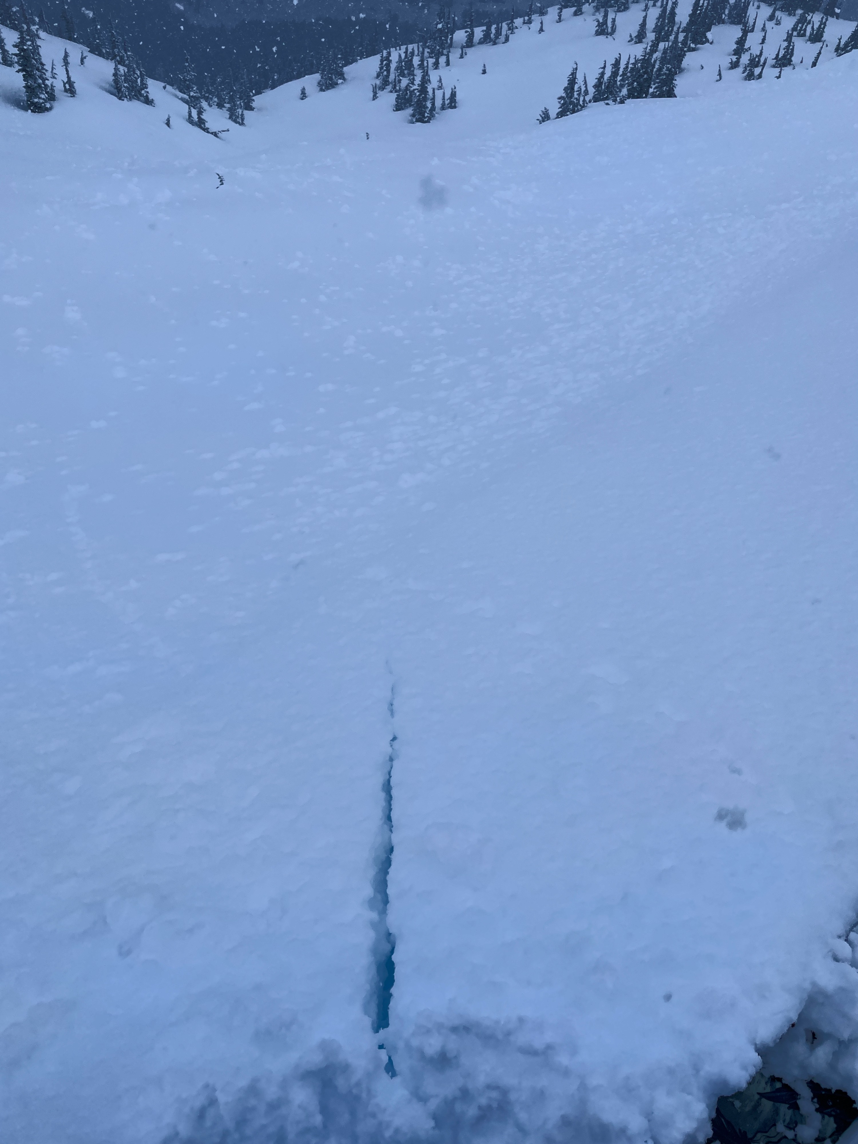
We got some short (5-10') shooting cracks on wind loaded/corniced test slopes.Weather
- Air Temp
- 38
- Cloud Cover
- obscured
- Wind Loading
- moderate
- Rain Elevation
- 1500
- Recent Snowfall
- Rain up to 1500'. 6-8" at 2000'. 8-10" at 2300'.
- Snow Avail For Transport
- large amounts
Steady rain up to 1500'. Heavy snow above that. Strong northeast winds starting around 2000'. Limited visibility during the day.
Snowpack
This storm has come in heavy and wet, with rain up to 1500'. We didn't dig any full pits, but did poke plenty of hand pits as we traveled. Yesterday's snow came in upside-down, with a saturated layer of new snow above a lower density layer of storm snow. The rain line was dropping as we were out today, which will make for a complex surface setup once this round is finished. We topped out at around 2300', and up to at least that elevation this storm snow is sitting on top of a thin melt-freeze layer from last week's warm up.
All of this complex new snow layering is just the latest round of load being added to the deeper weak layer of facets, now anywhere from 2 to 5' deep, depending on your elevation.