
Quick report
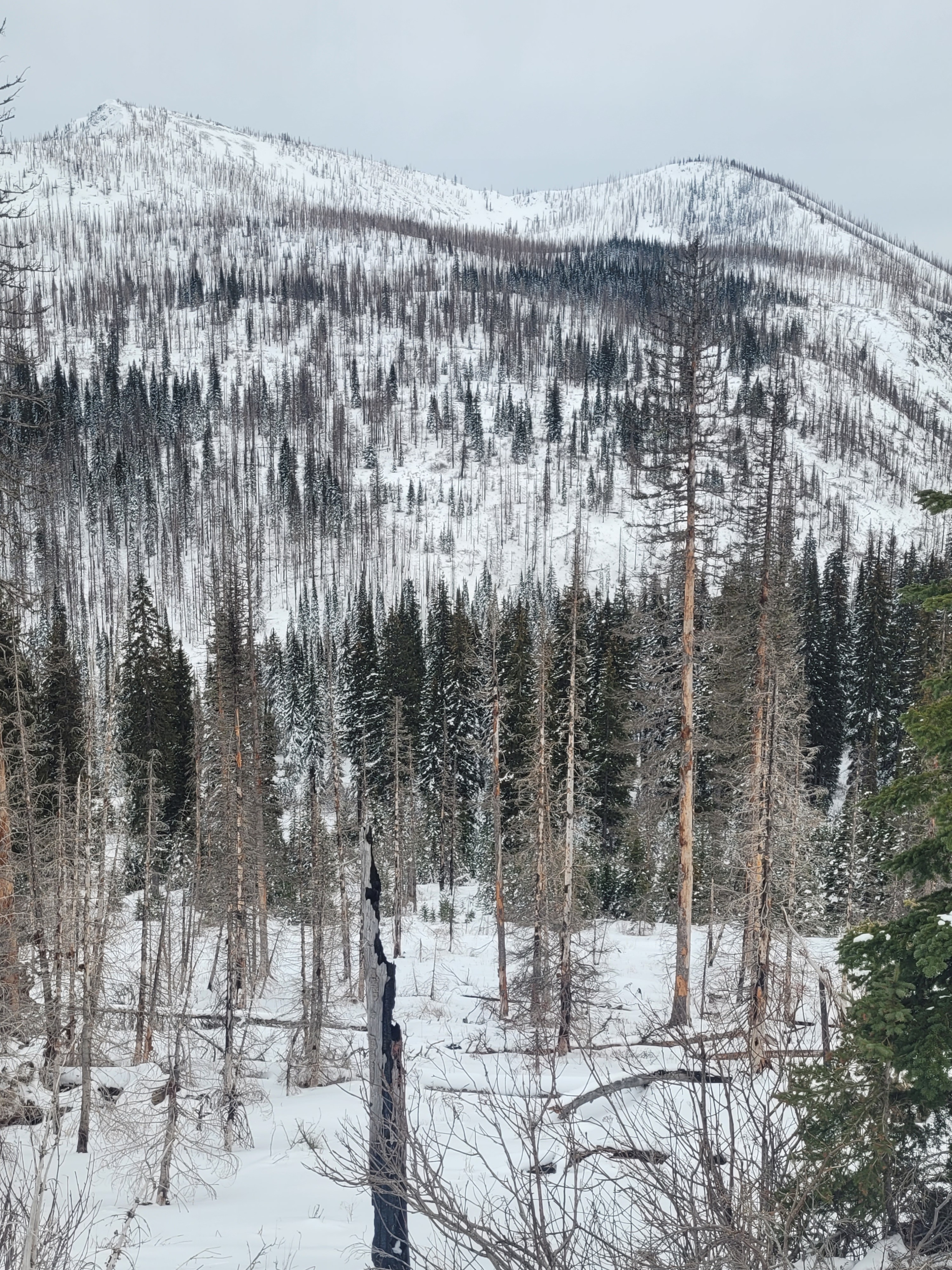
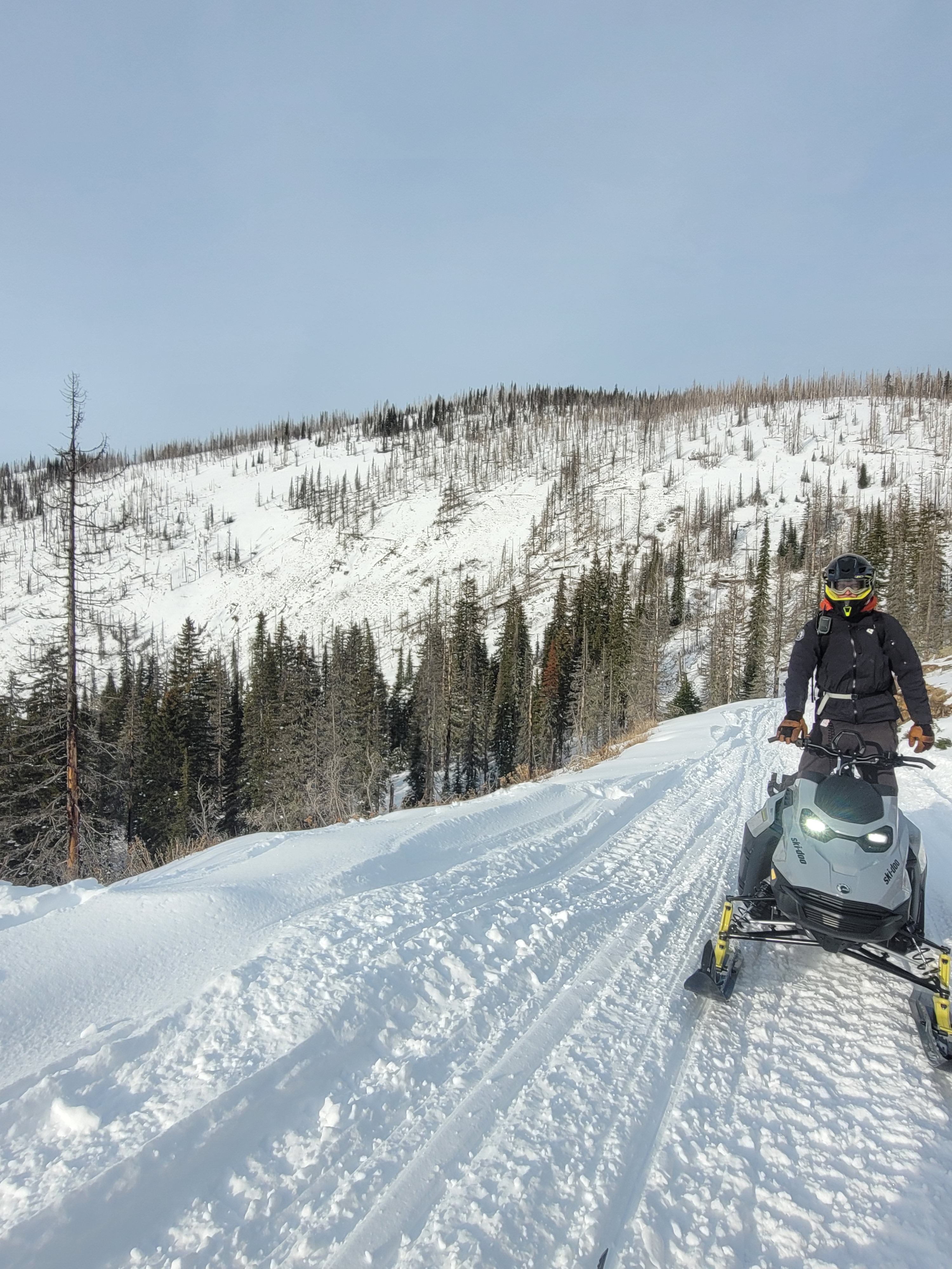
Micah and I spent the day evaluating surface conditions ahead of this weekends storm to help document any notable differences in the New Years Day storm snow interface. And at two opposing aspects (northwest and southeast), we conducted stability tests to continue monitoring the evolution of our current weak layers deeper in the snowpack.
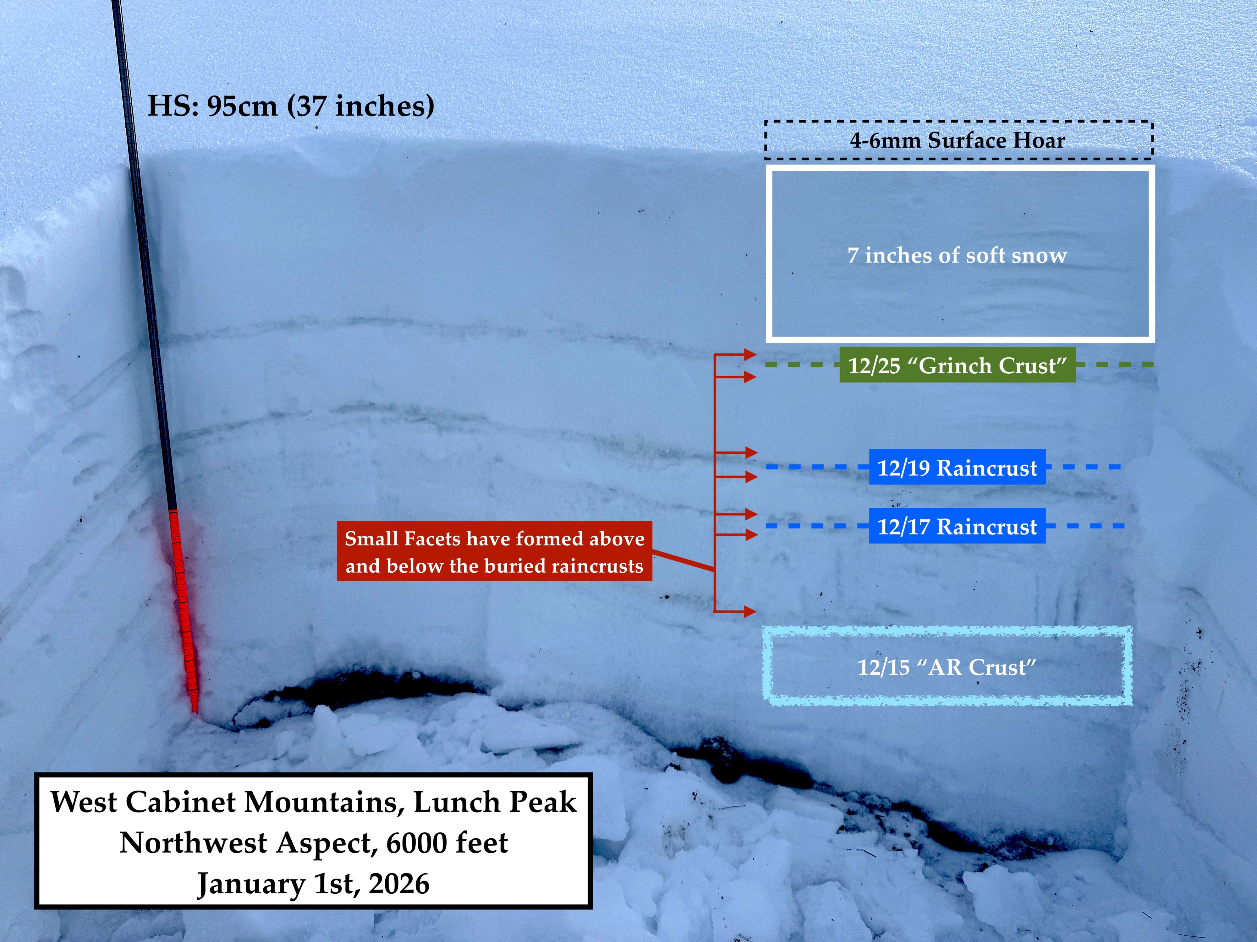
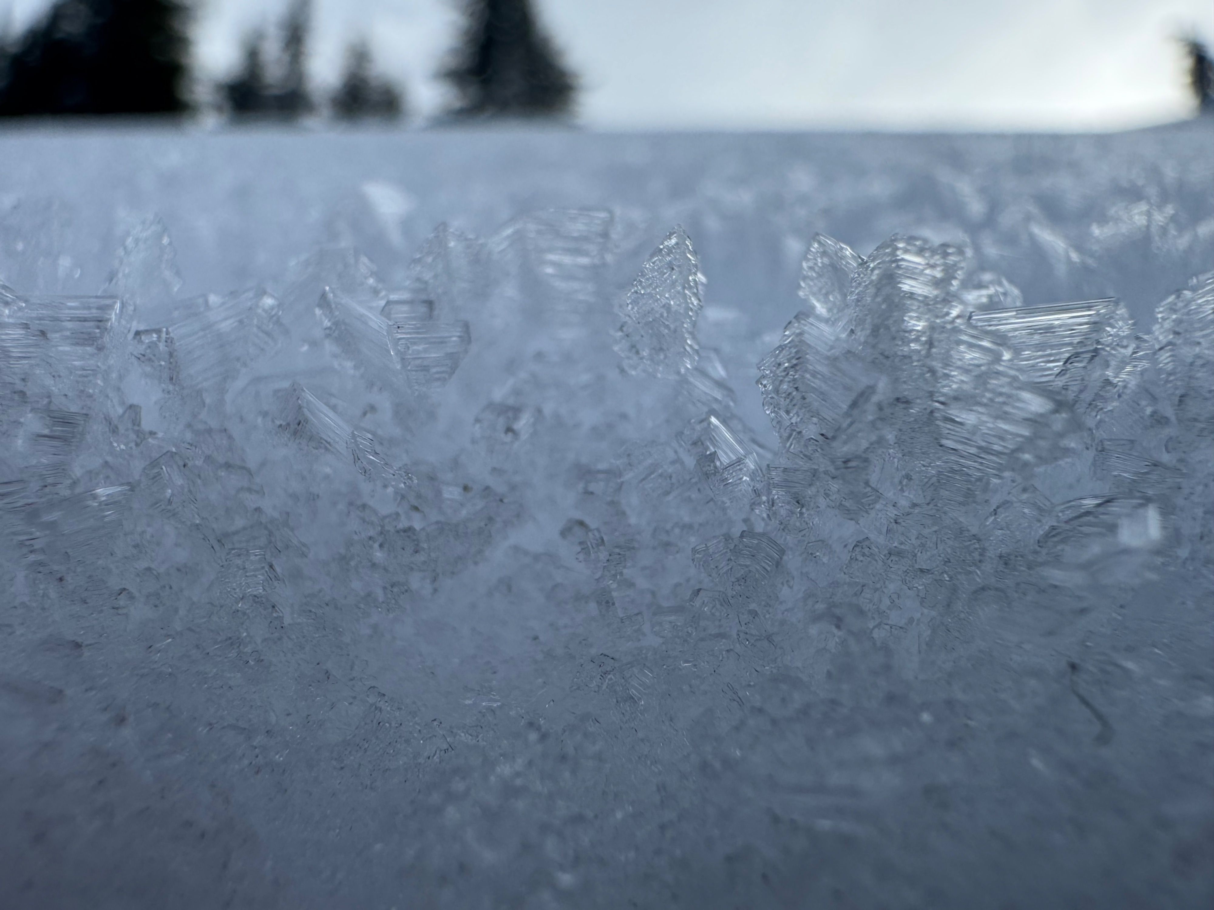
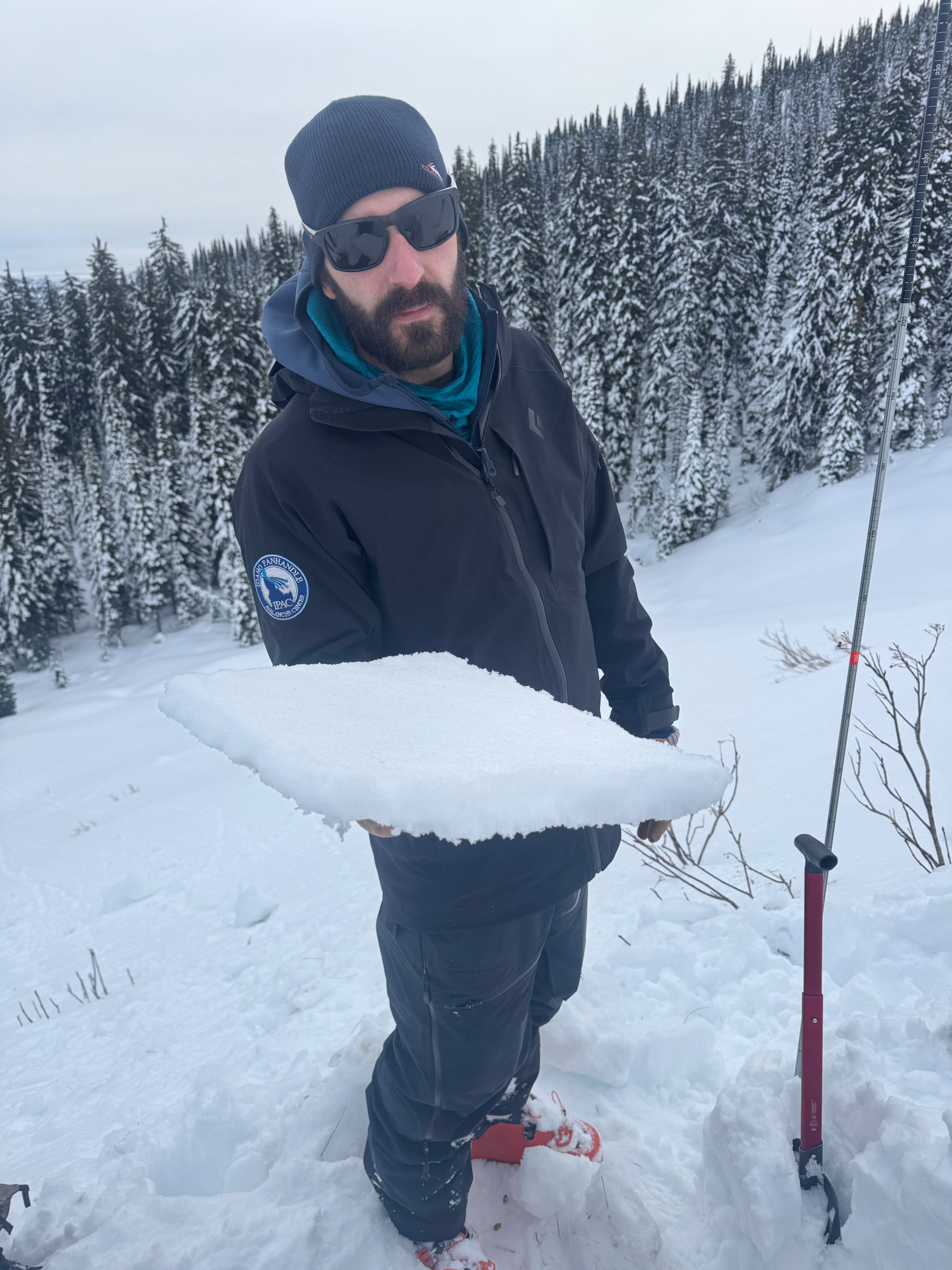
- The new snow tonight will be falling primarily onto soft snow around the compass. At least this is true at middle elevations, where we spent our entire tour today. In sheltered locations this soft snow is capped by a layer of 4-6mm surface hoar that is still standing upright. The surface hoar was fairly widespread on northerly slopes, and more intermittent and spotty on all other sides of the compass. The exception to this is on open slopes, free of tree cover, on southerlies. These sunny slopes are capped by a breakable (3cm thick) sun crust.
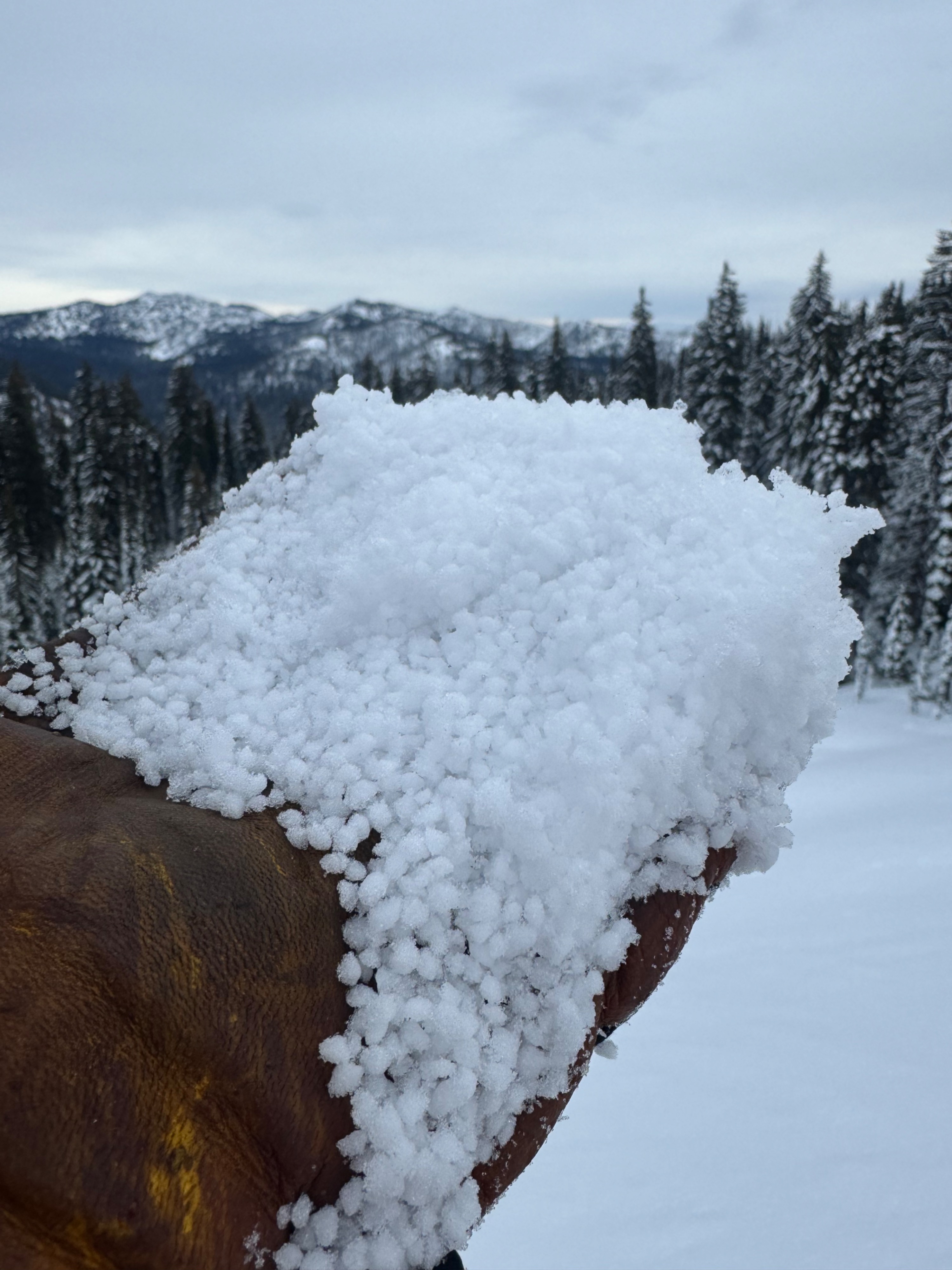
- The other noteworthy surface condition that we discovered late in the day was a layer of 4mm graupel that is less than an inch below the surface. Uncertain of how widespread this layer is, but we encounted it somewhat freqently at the end of our tour while ascending SE-E-NE slopes on our way back to Lunch Peak. It was not visible on the snow surface, but it was covering the tops of our skis extensively while breaking trail late in the afternoon.
- Micah and I also conducting many stability tests during our outing. Our observations support the presence of a Persistent Slab problem currently, and also support that the weak layers of concern are very stubborn to failure at the moment.
Weather
- Air Temp
- not observed
- Cloud Cover
- broken
- Wind Loading
- none
- Rain Elevation
- not observed
- Recent Snowfall
- 0
- Snow Avail For Transport
- small smounts
Low stratus in the morning with partly cloudy skies. Increasing high cloud cover throughout the day with calm winds and temperatures hovering near freezing in the high country. Light snowfall began around 430pm during our drive home from the field.
Snowpack
Snow depths are low for this time of year, especially at lower elevations. We collected snowpack data from three locations on route from Trestle Creek to Lunch Peak vicinity.
- Nine Mile Pass (5300 feet): Total snowpack height of 60cm (~2 feet). 15cm or about 6 inches of soft snow sits on top of a Pencil hard 2cm thick crust - the 12/25 Grinch crust. At this location, the entire lower half of the snowpack is a Knife hard rain crust - the AR crust from mid December.
- Northwest aspect at 6000 feet: Total snowpack height of 95cm. Uppermost crust (GRINCH) present 18cm down. Stability tests pointed to the underside of this crust being our layer of most concern. More details attach in our pit graph.
- Southeast aspect at 6000 feet. Total snowpack height of 100cm. Newly formed suncrust present at the surface. Overall structure is relatively similar to other aspects, albeit buried rain crusts differ in their thicknesses and depth of intervals between. One notable difference was that the lower third of the snowpack was moist near the ground. More details attached in our pit graph.
Avalanche
none observed