
Quick report
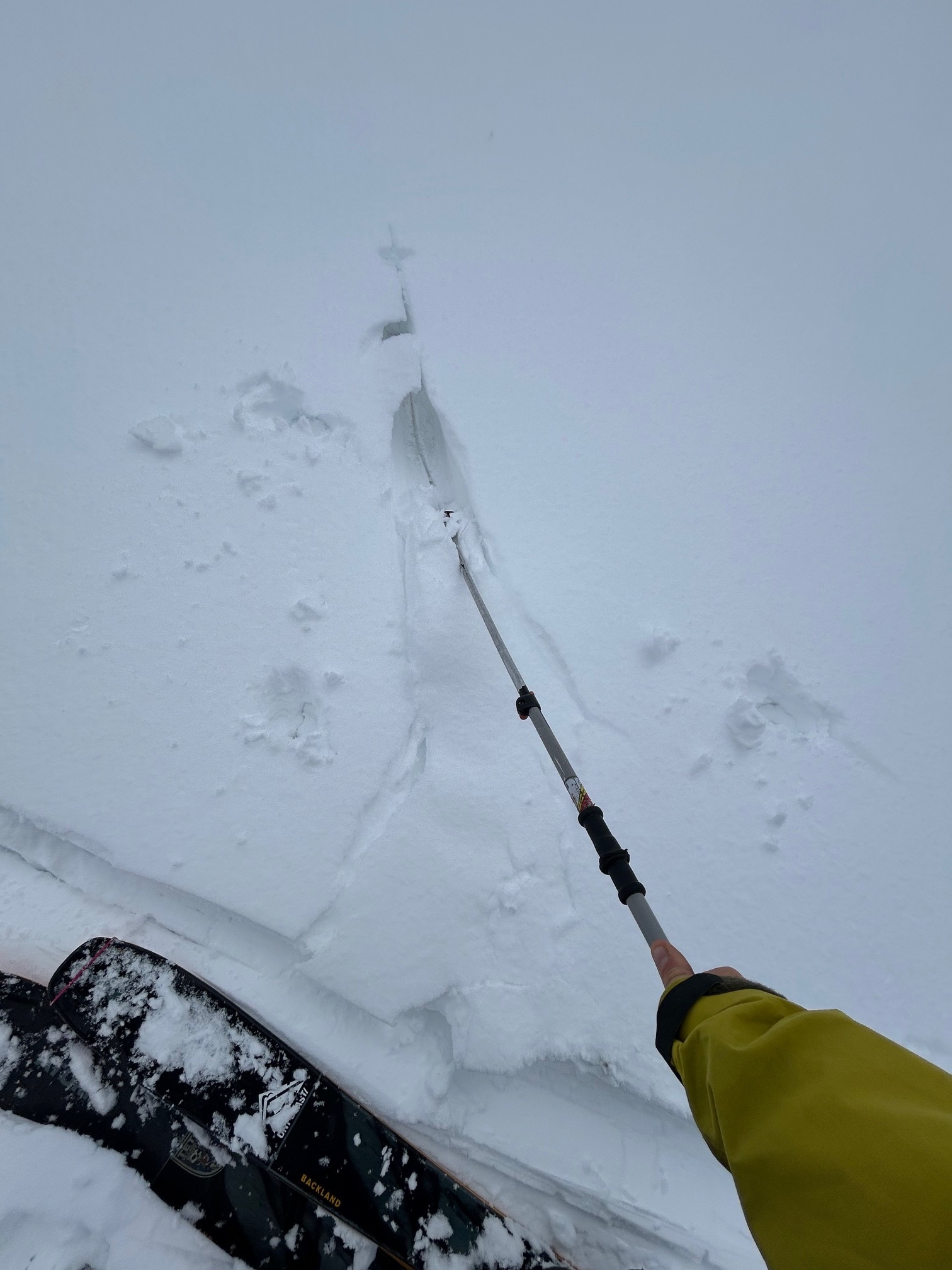
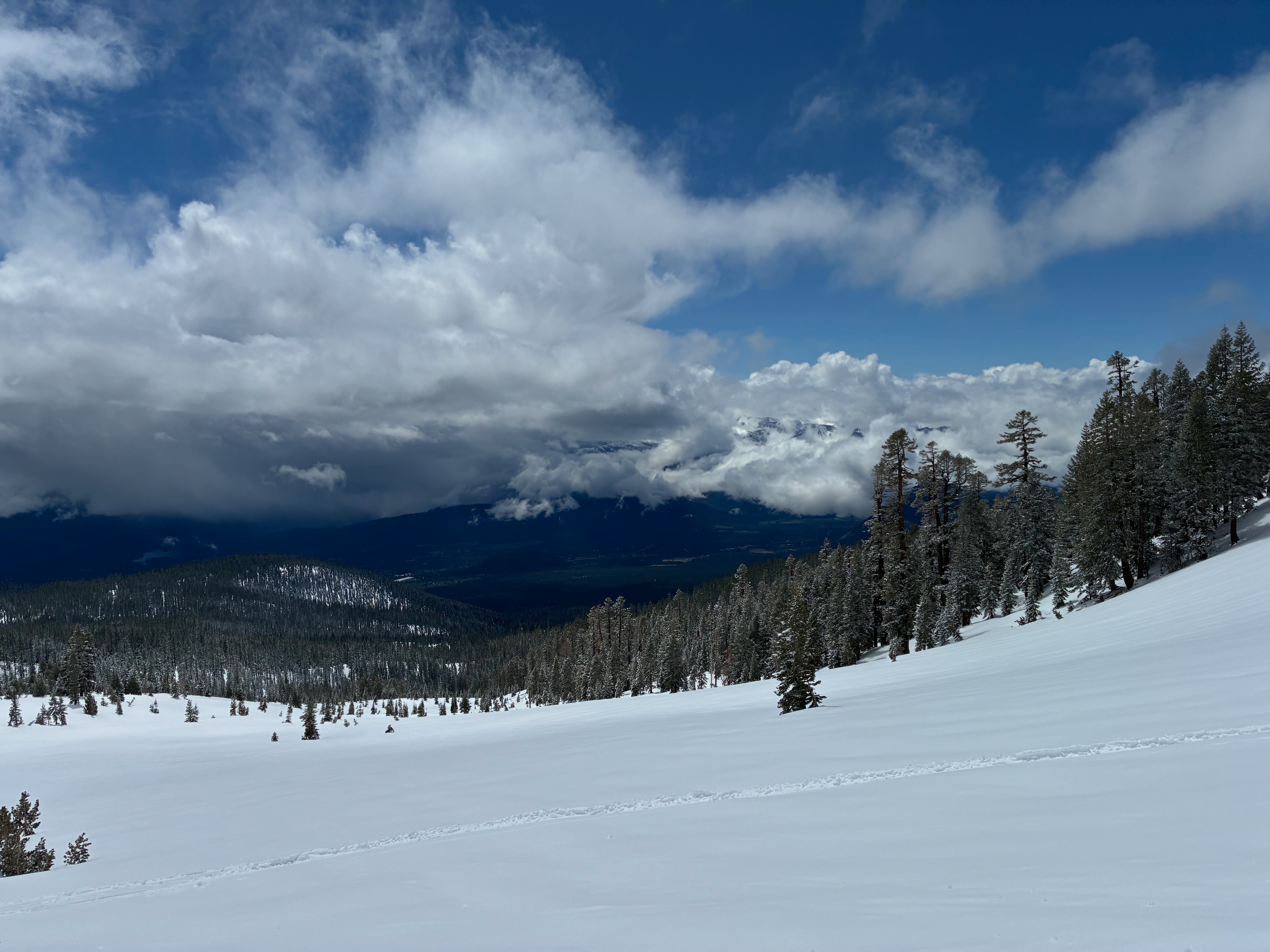
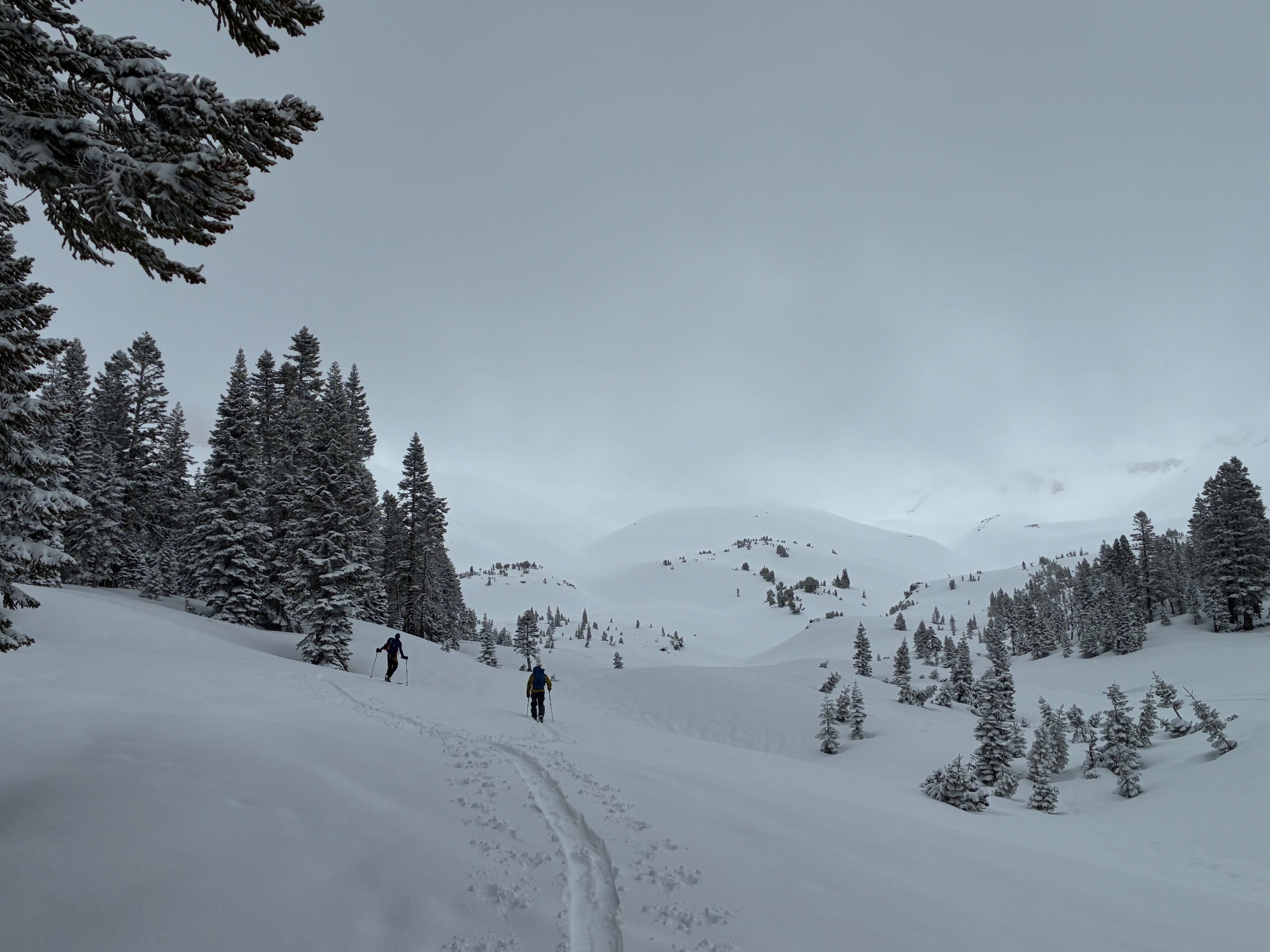
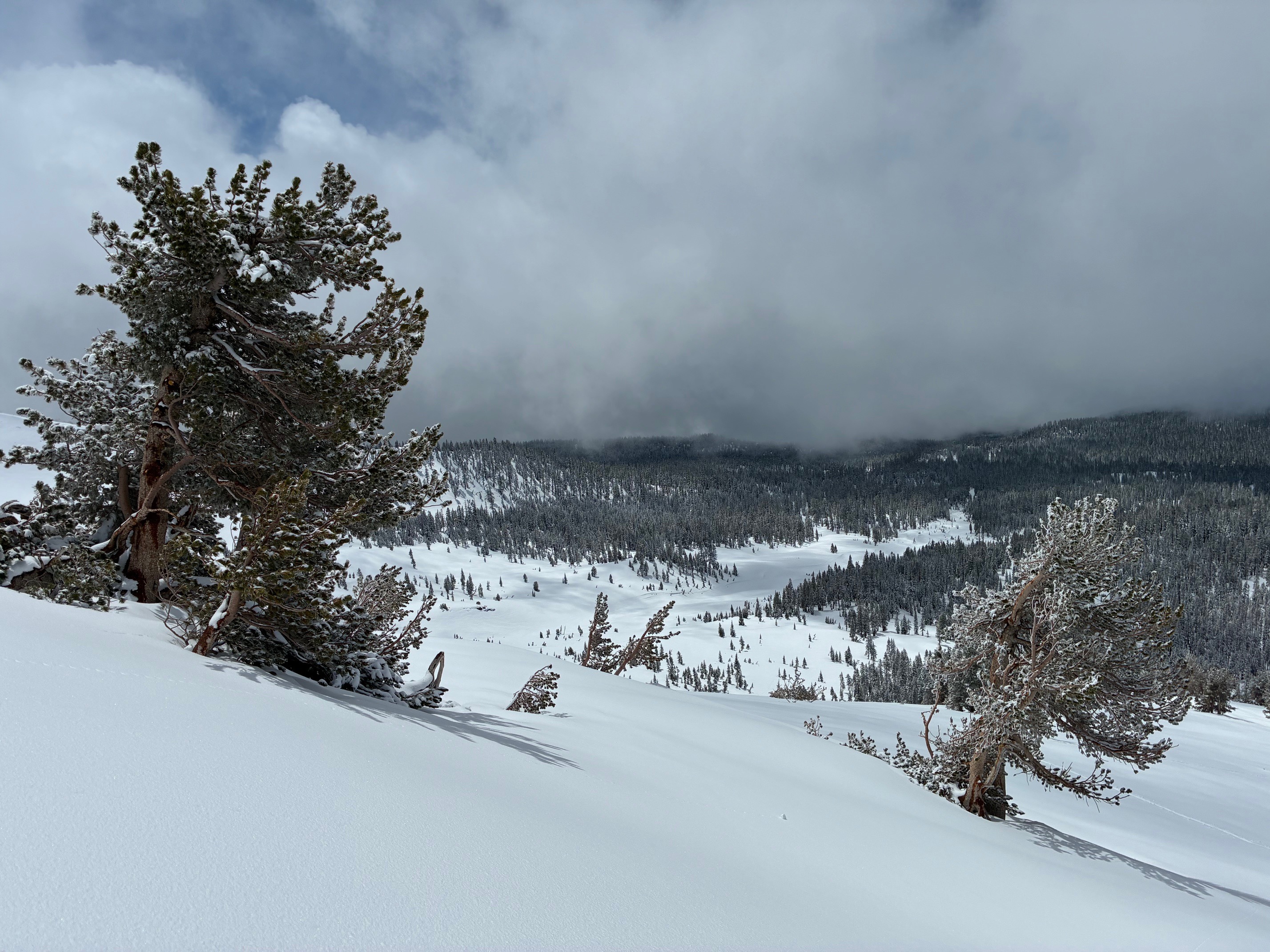
The 6-12" of snow that fell overnight has already experienced sun affect with a mix of direct sun and greenhouse warming. Between 1200-1300, we experienced a short but intense convective system near the top of Giddy that dropped a thin layer of graupel on the upper sections of Giddy. Experienced new snow 'washing' out from under skis on the old snow surface in steeper sections while skinning up the ridge
Weather
- Air Temp
- 35-45
- Cloud Cover
- broken
- Wind Loading
- light
- Recent Snowfall
- 15
- Snow Avail For Transport
- small smounts
Snowpack
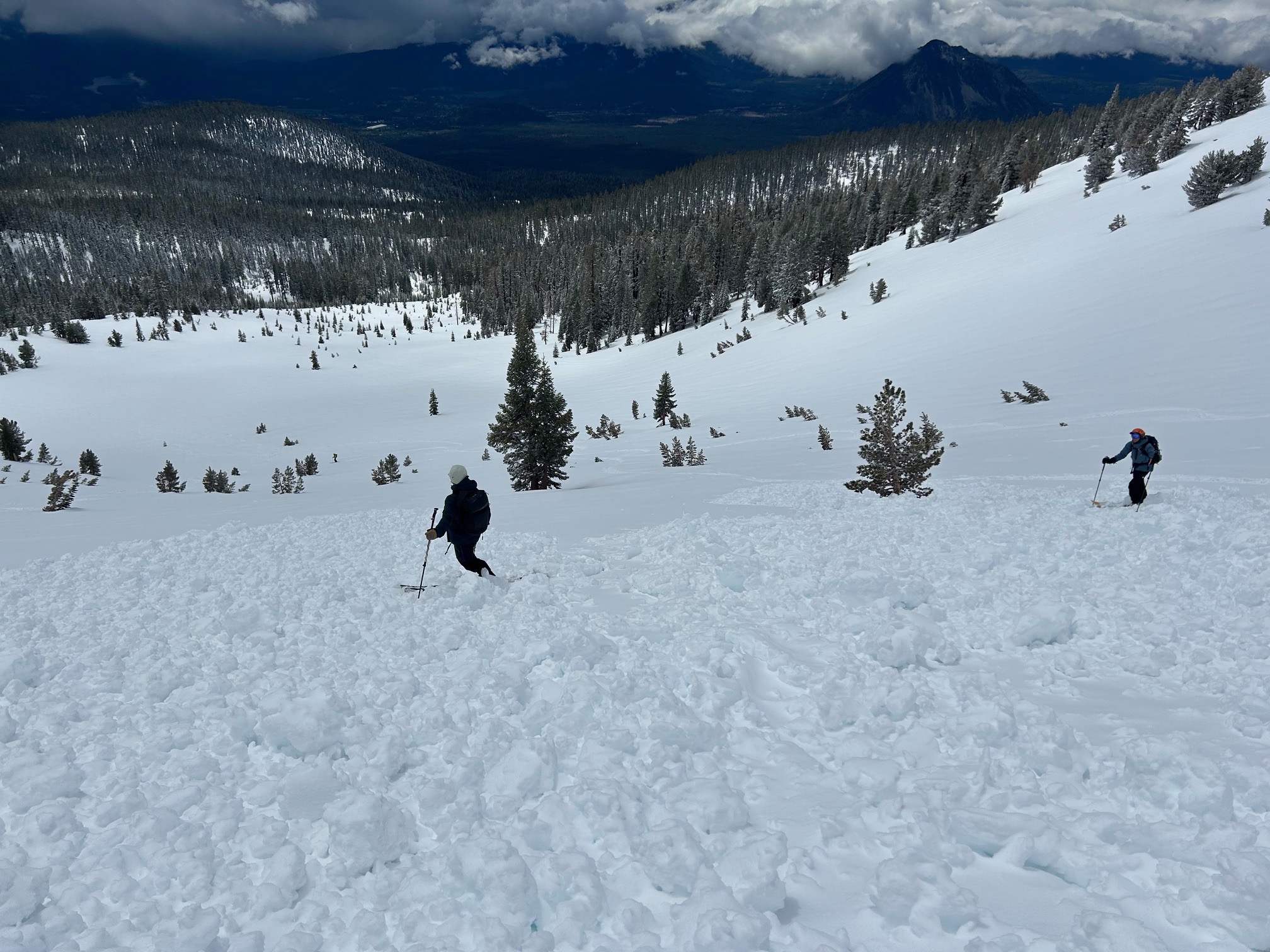
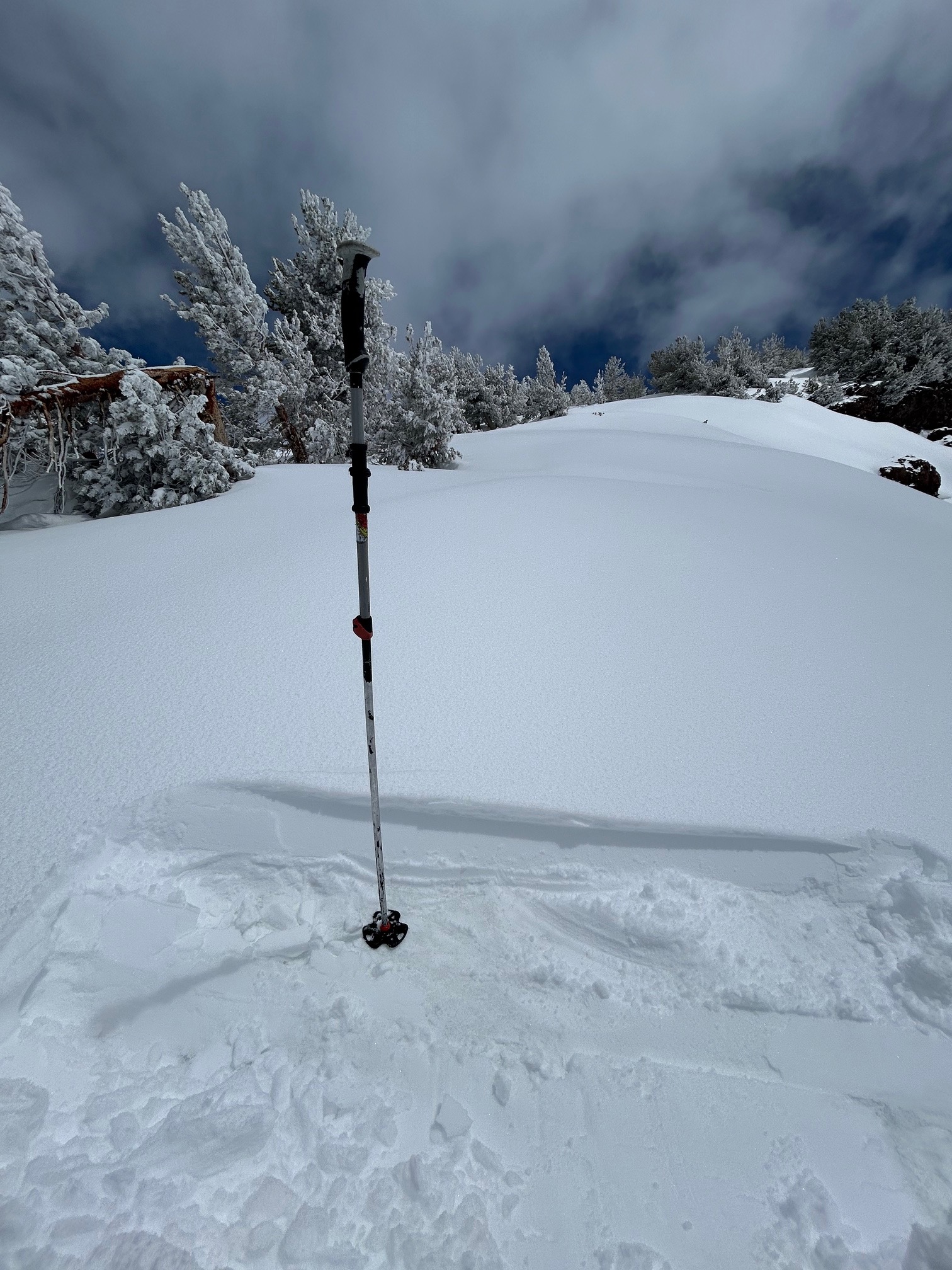
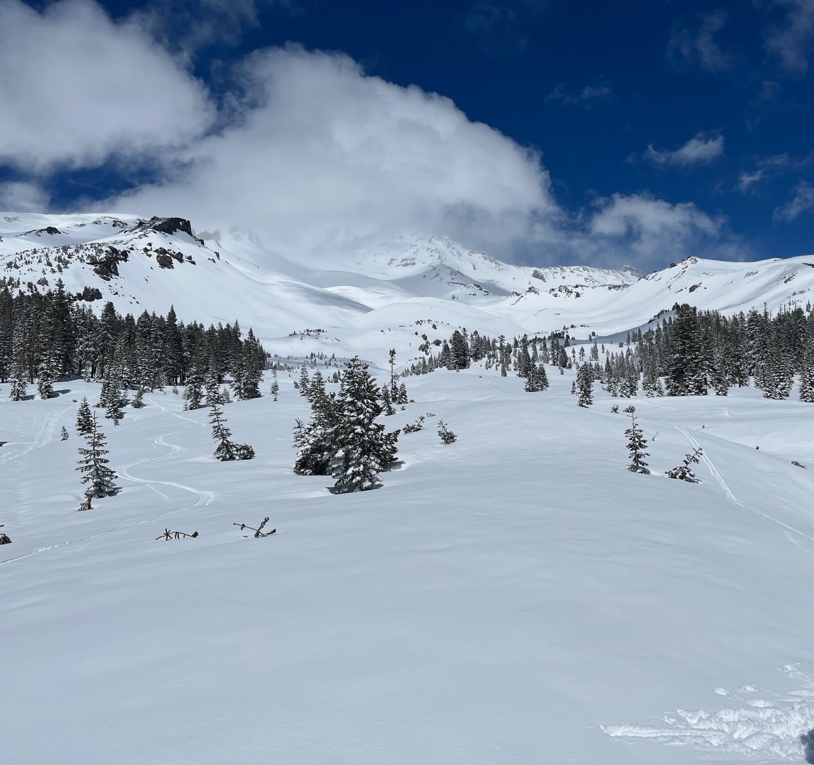
The recent storm deposited an average of 6" of wet snow with deeper pockets up to 12". This new snow sits on a well consolidated spring snowpack that has been in a spring melt freeze cycle for several weeks. The storm snow has not yet bonded well to the old snow surface it fell on and evidence of this is shown in pictures and the avalanche ob. This new snow has helped refresh textured surface conditions although old texture can still be felt under skis.
Avalanche
- Size
- D1.5 R2
- Type
- WL
- Aspect
- SW
- Trigger
- AS
- Elevation
- 8600 ft
We observed a wet loose avalanche in Lower Giddy Giddy Gulch (see avalanche observation).