
Quick report
- Cracking
- specific
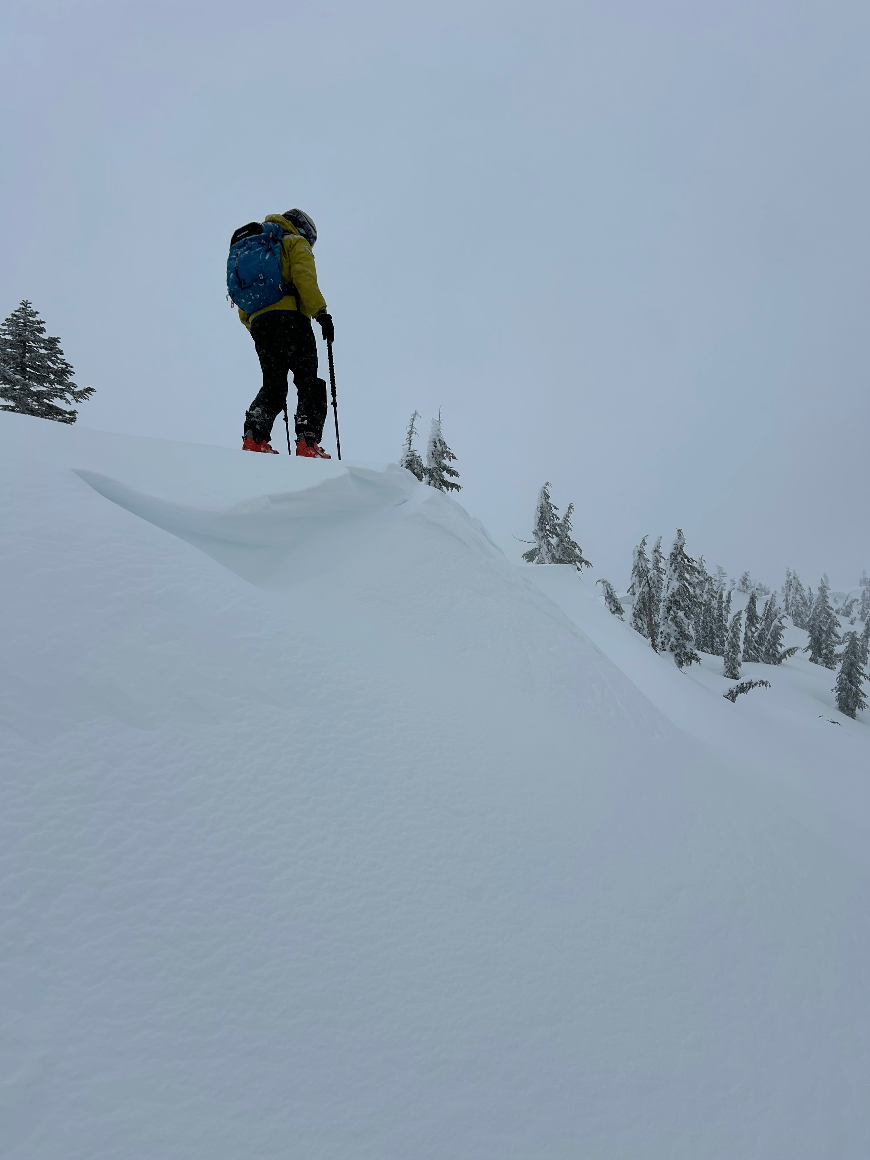
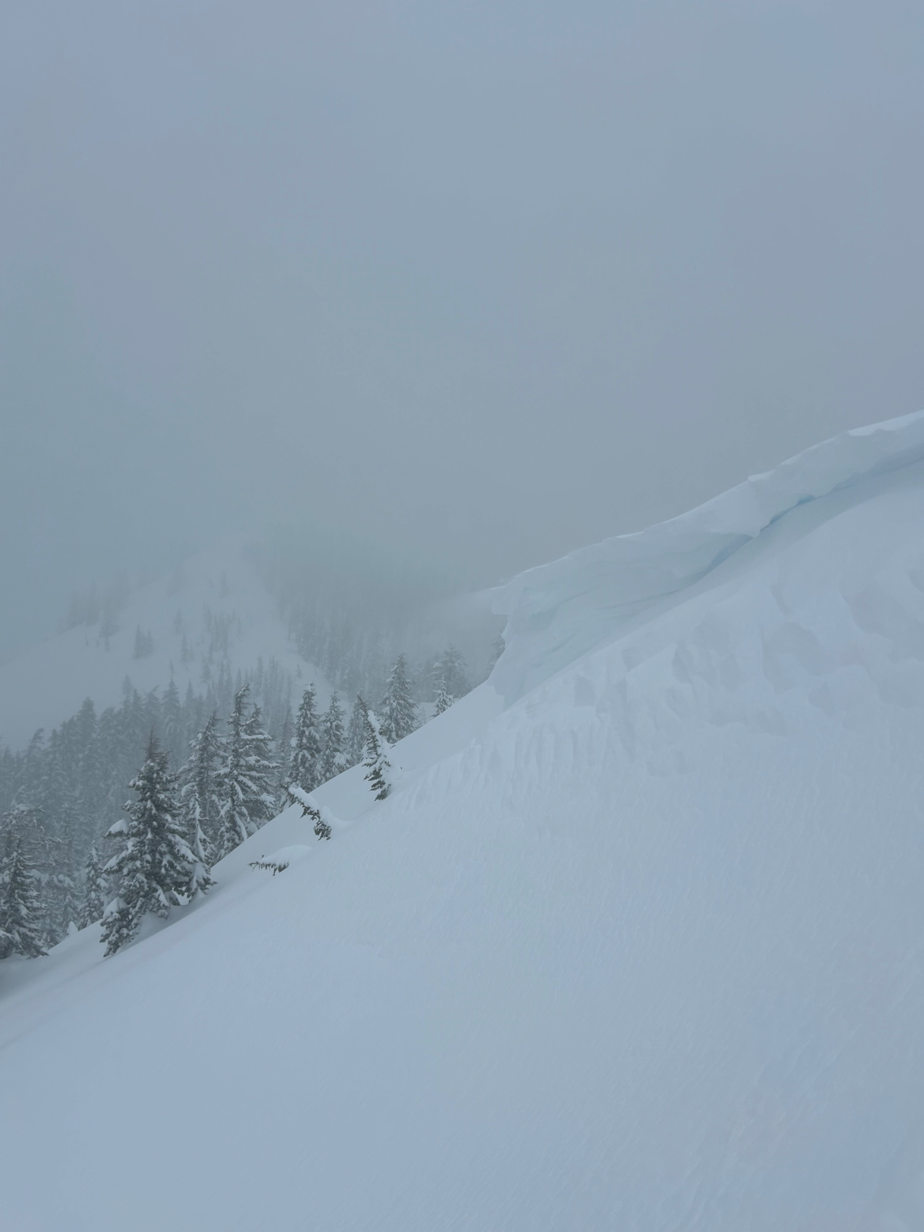
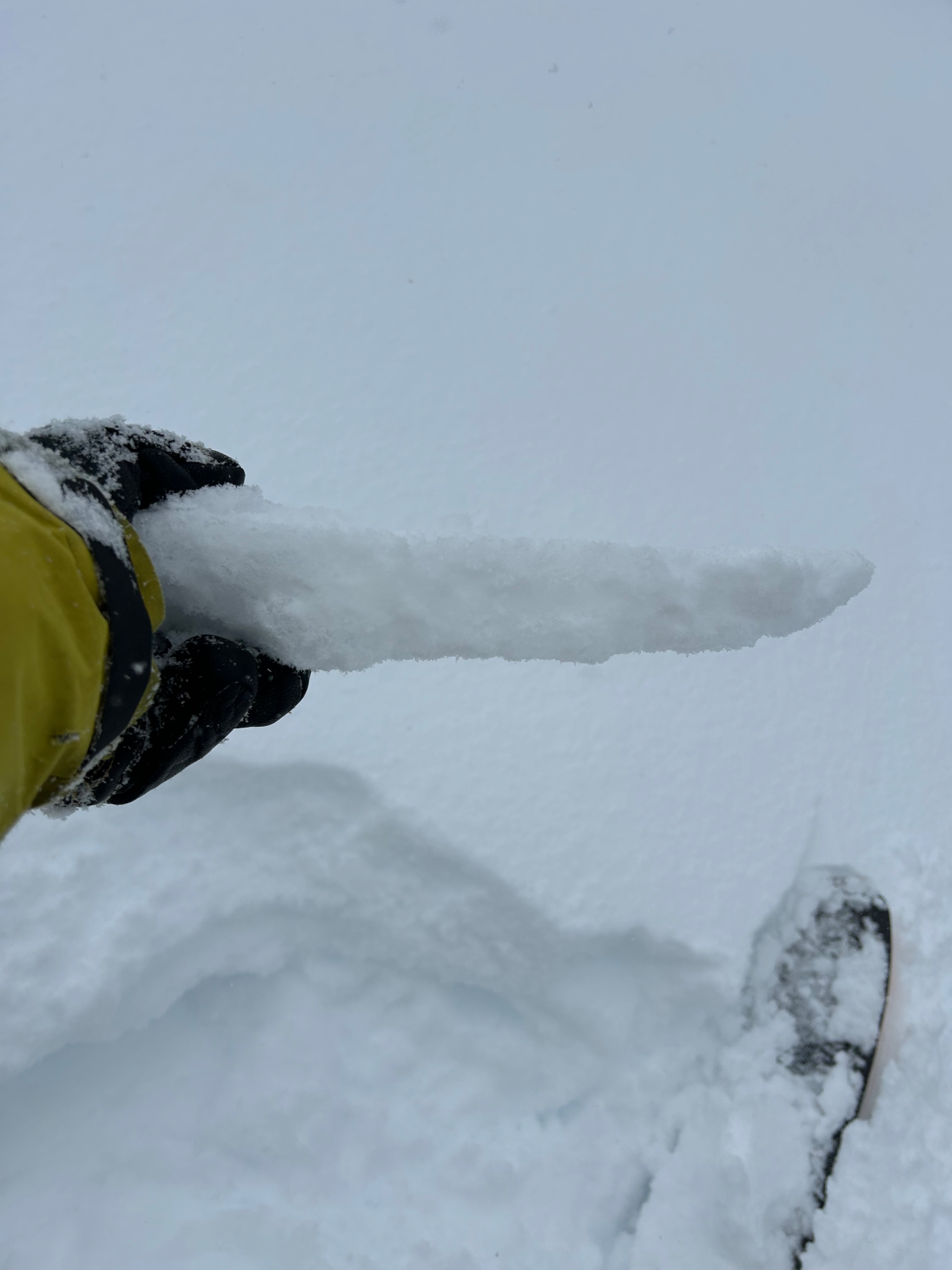
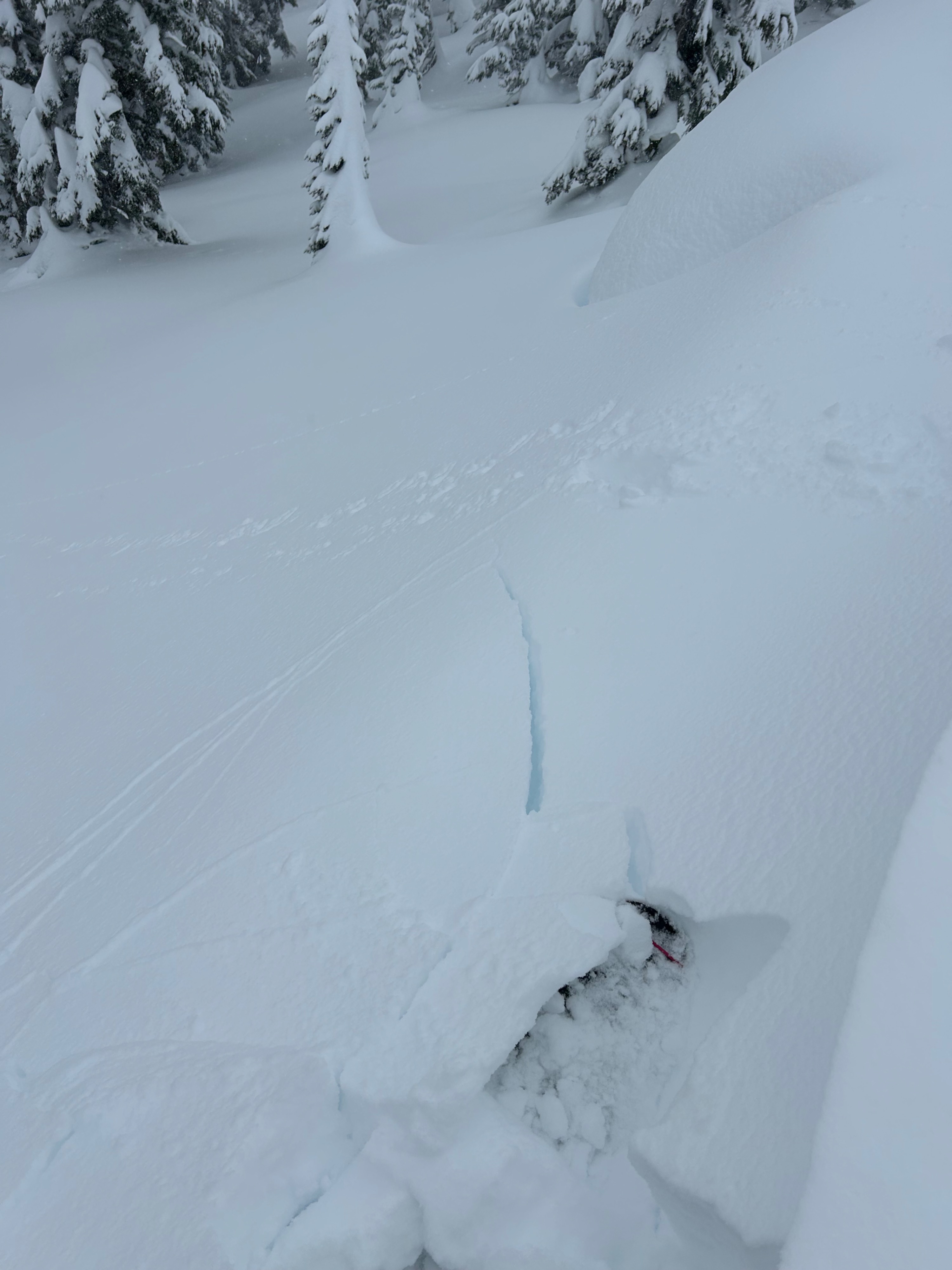
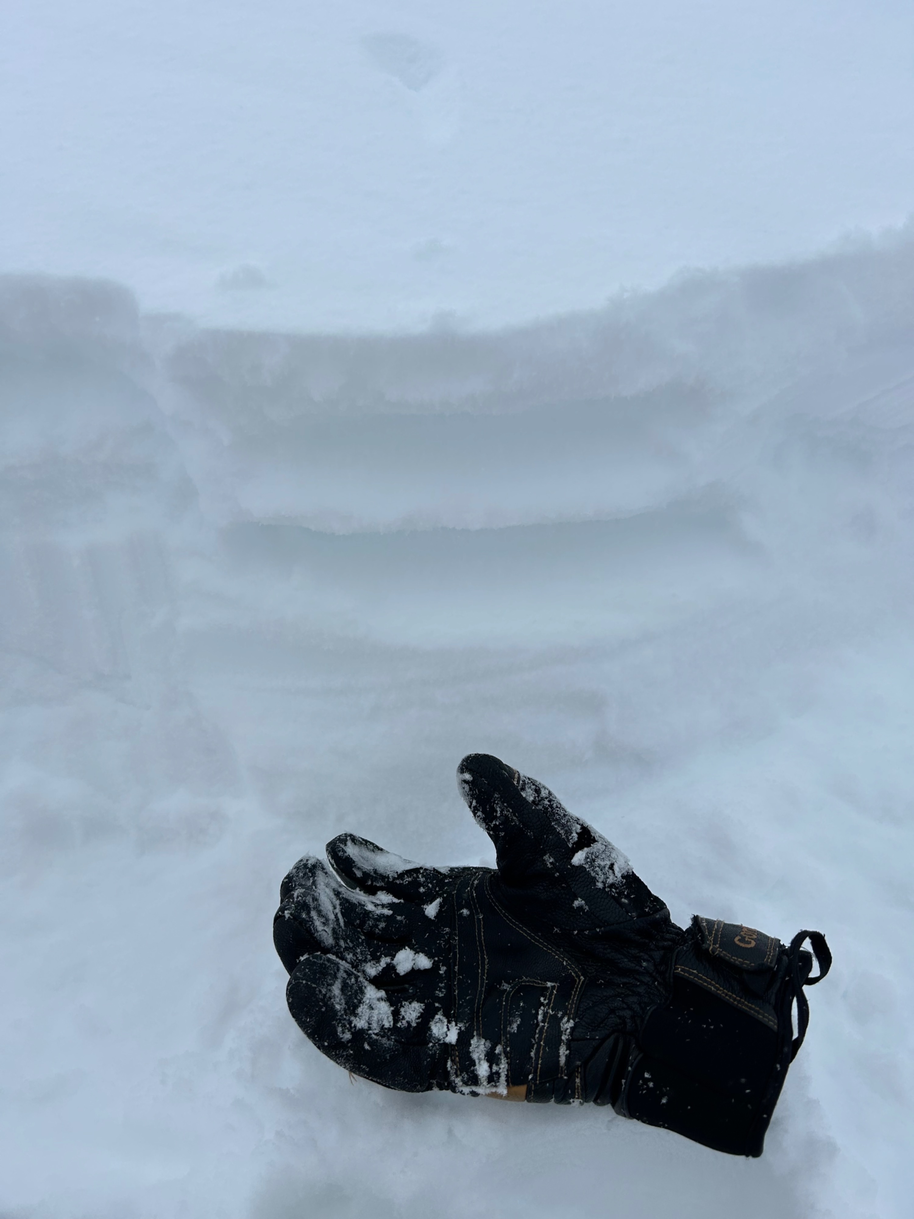
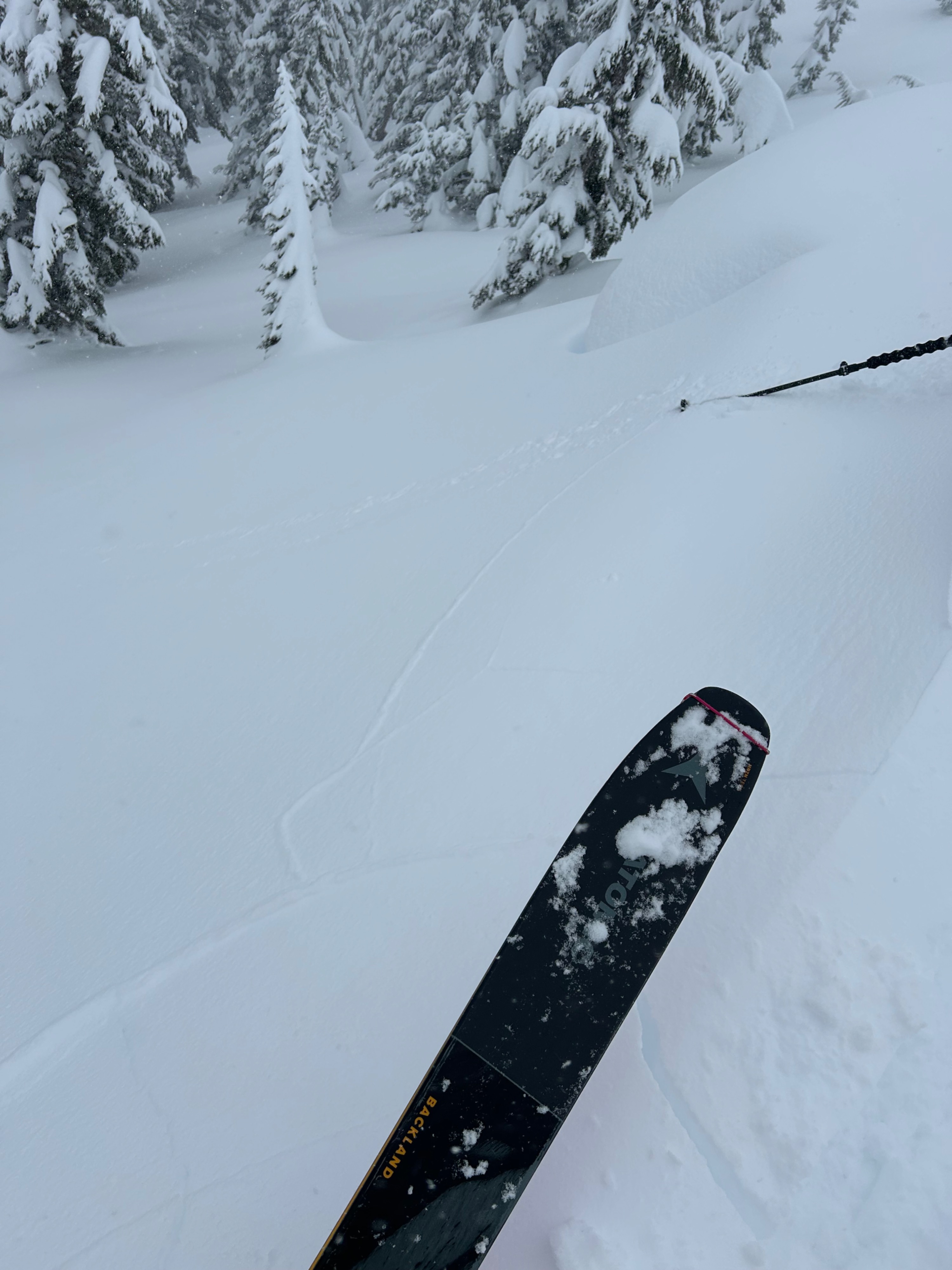
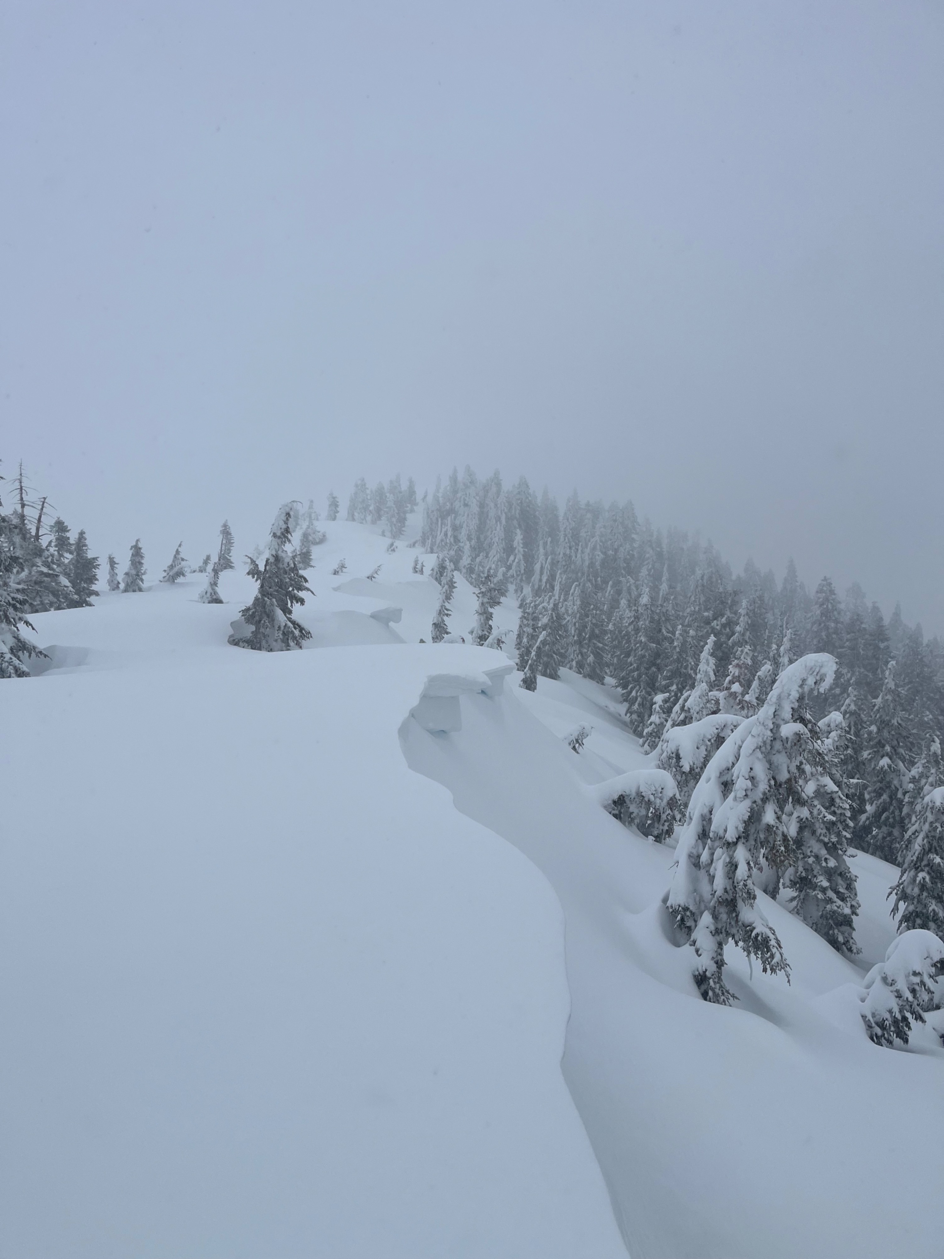
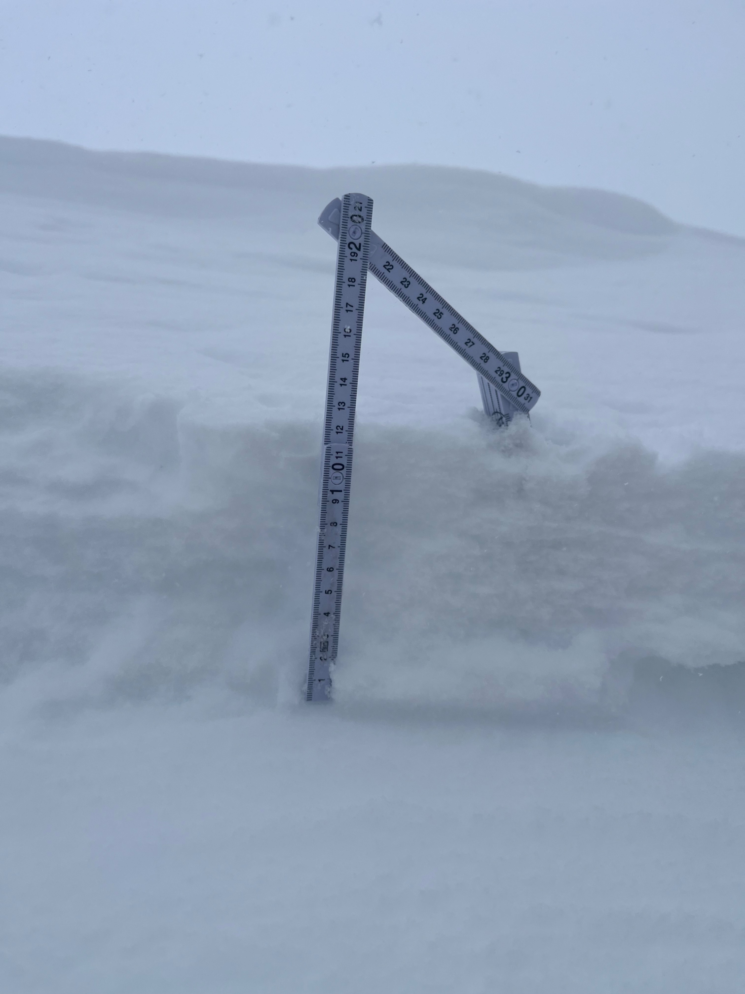
Today, forecasters visited Gray Butte to evaluate storm conditions, the bonding of new snow to old, and the winds impact. We were greeted with three to five inches of new snow near and below treeline, with deeper amounts in drifted locations. The most notable findings were shooting cracks in freshly formed wind lips, that would break off and entrain the dry snow beneath, running for 30+ feet down slope. Beneath ridgelines and abrupt rollovers, five to seven inches of soft “slaby” feeling snow was found. This was only observed directly beneath ridgelines and convex terrain features specific to wind loading, resulting in a soft and shallow slab character. However, in more exposed locations, slabs are certainly deeper, harder, and more consequential.
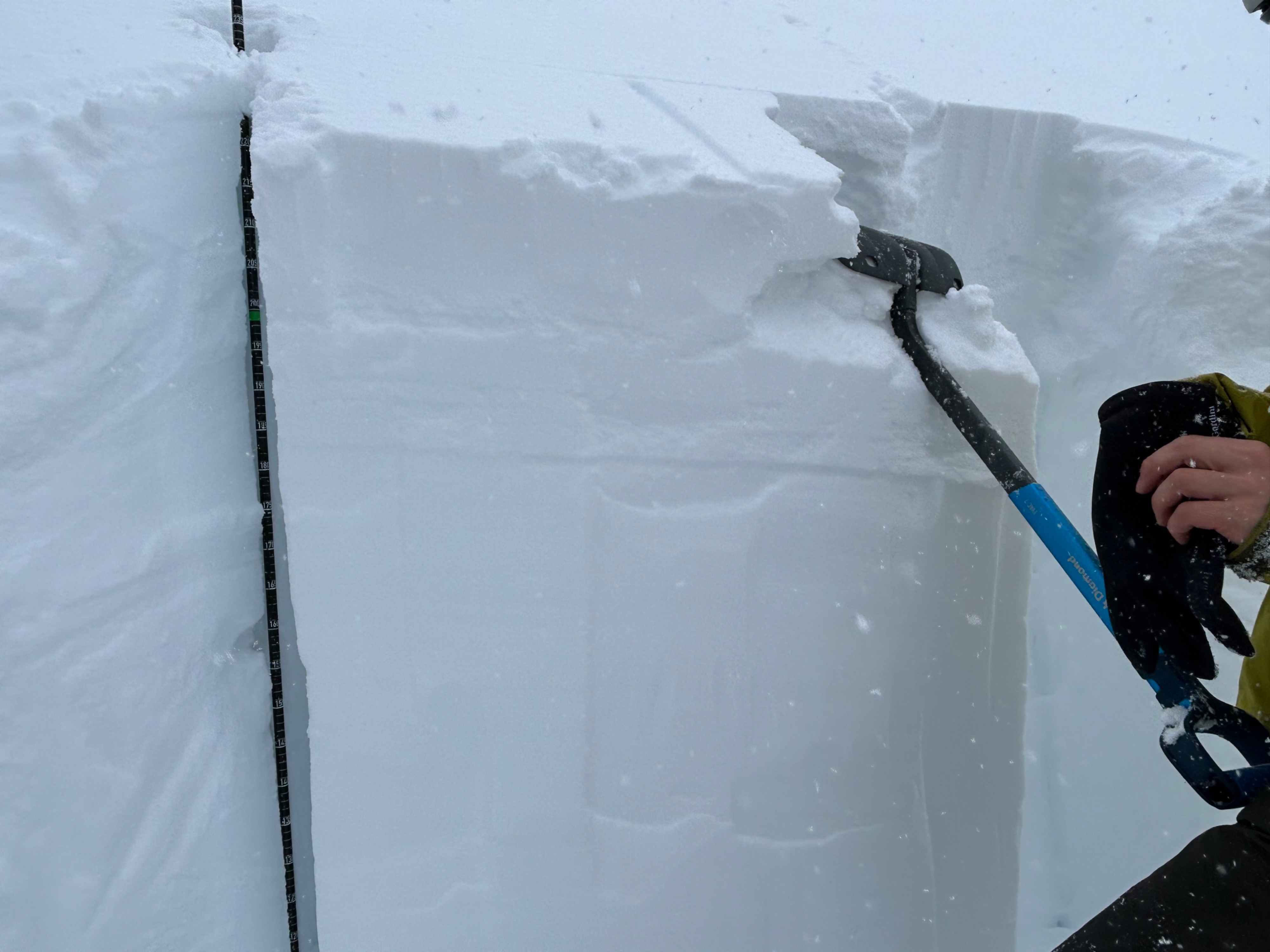
An ECT test resulted in propagation on the old snow/new snow interface. However, reactivity was stubborn and resistant planar- ECTP-20-RPWeather
- Air Temp
- 24
- Cloud Cover
- obscured
- Wind Loading
- moderate
- Recent Snowfall
- 10
- Snow Avail For Transport
- moderate amounts
Storm day on Mount Shasta. Temperatures sat in the mid-20s, with a westerly wind blowing at light to moderate speeds. Snow fell at a rate of S1-S2, inconsistently.
Snowpack
Three to five inches of new snow has fallen on a melt freeze crust that ranges from centimeter to inches, on all but north and northeast aspects near and below treeline. In all locations, the new snow is bonding well to the old snow surface.
Digging on north-northeast aspect, we found the top meter of the snowpack to primarily consists of fist to four finger hardness.