
Quick report
- Collapsing
- specific
We set out to observe what this current stormcycle has produced, and assess the snowpack in exposed NTL terrain. We were hoping to observe new snow on top of latent snow from last season, but we were limited by very poor visibility NTL.
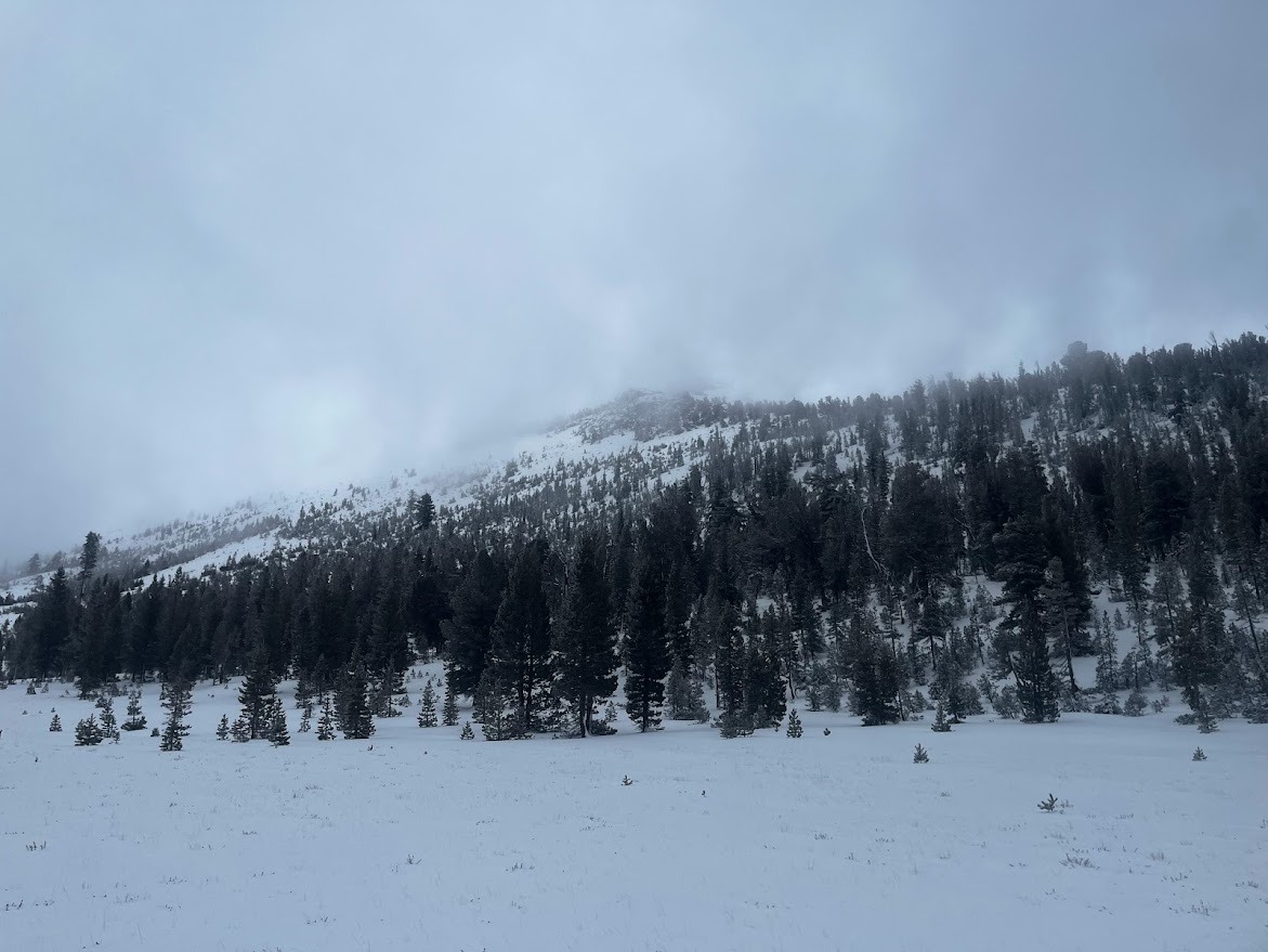
Snow coverage was variable below 9400'. We were mostly able to skin, but walking and bush whacking were required movements for the day. Glass creek was flowing and open.
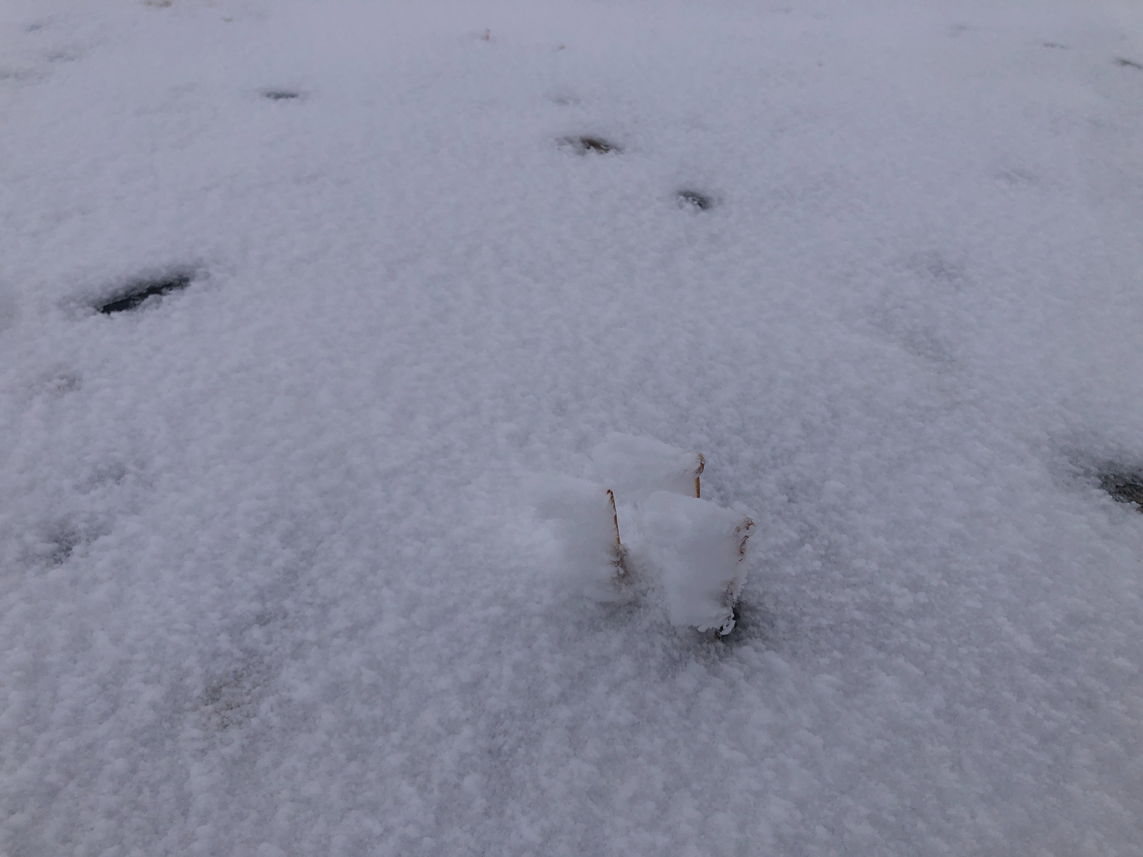
NTL wind exposed slopes were either loaded our scoured. We found an exposed, leeward, ridgetop slope representative of the wind loading that may be present NTL and even ATL on leeward aspects in the Mammoth Lakes region.
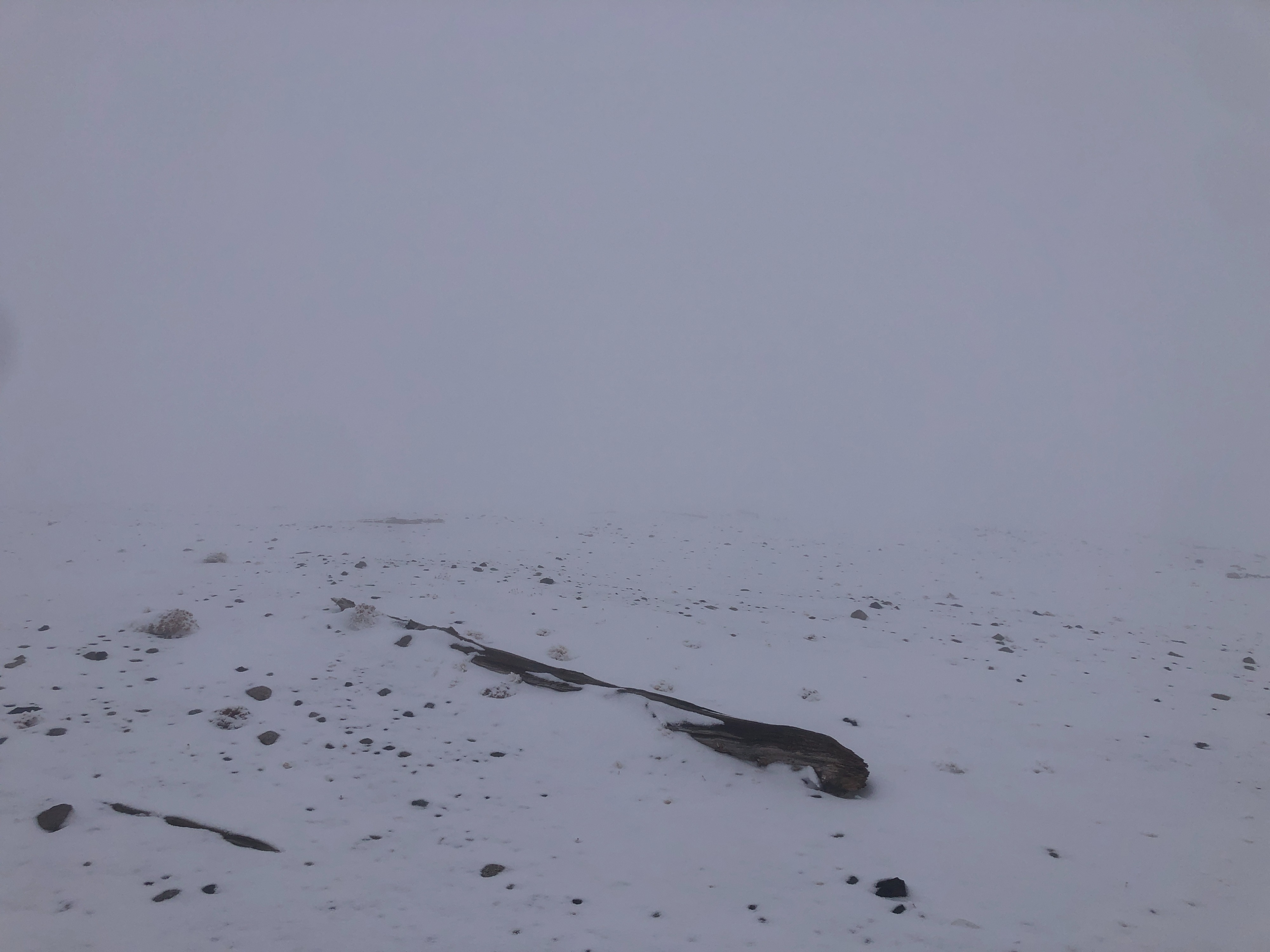
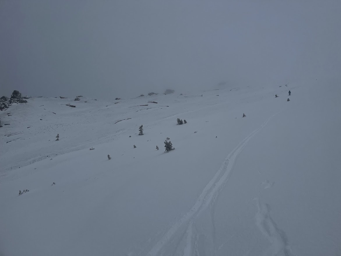
We spent the day walking in a ping pong ball NTL, and compass navigation and whiteout navigation skills were useful.
Localized collapsing was present underfoot whilst traveling up to 9600'.
Weather
- Air Temp
- 34
- Cloud Cover
- obscured
- Wind Loading
- previous
- Recent Snowfall
- 1
- Snow Avail For Transport
- small smounts
The air temperature was well above freezing and there was a lot of moisture in the air below 9600'. As we approached the the summit ridge of White wing, temperatures dropped significantly, but the air remained humid. A light E wind was present at the ridgetop, and we were actively riming, as was the snow. Visibility was very poor NTL.
Snowpack
BTL was consistent with what we have been seeing. 5 - 10 cm of snow from this storm cycle sits atop a 4cm rain crust. This crust separates the new snow from 5-30 cm of moist facets. Within the facets lies a decomposing melt freeze crust. We easily broke through the 4cm rain crust whilst moving both up and down hill.
NTL terrain was either scoured, with a couple centimeters of snow on top of bare ground - actively riming throughout the afternoon - or wind loaded. Areas that were wind loaded were observed with up to 65 cm of wind stiffened snow (pencil hard slab), on top of 35 cm of moist to dry rounding facets. We dug to ground and found the biggest rounding facets/depth hoar at the very bottom of the snowpack (2-4 mm), beneath a decomposing melt freeze crust. The entire snowpack failed on rounding facets near the ground (CT 23 SC @ 5 cm), and we inquired about the reactivity of this layer where we dug with a propagation saw test (PST 80/100 END). Our extended column test showed no results on this layer.