
Quick report
- Cracking
- isolated
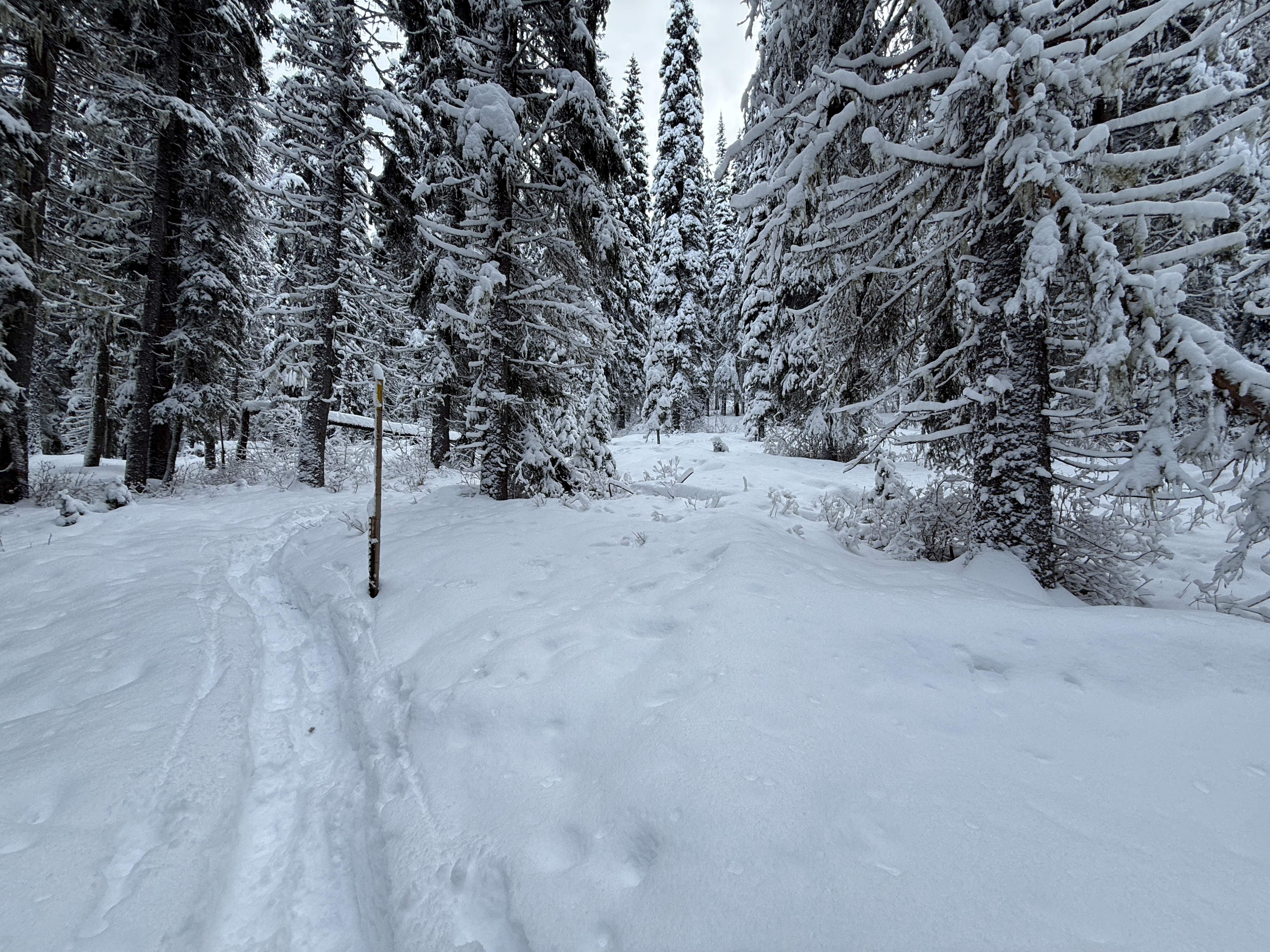
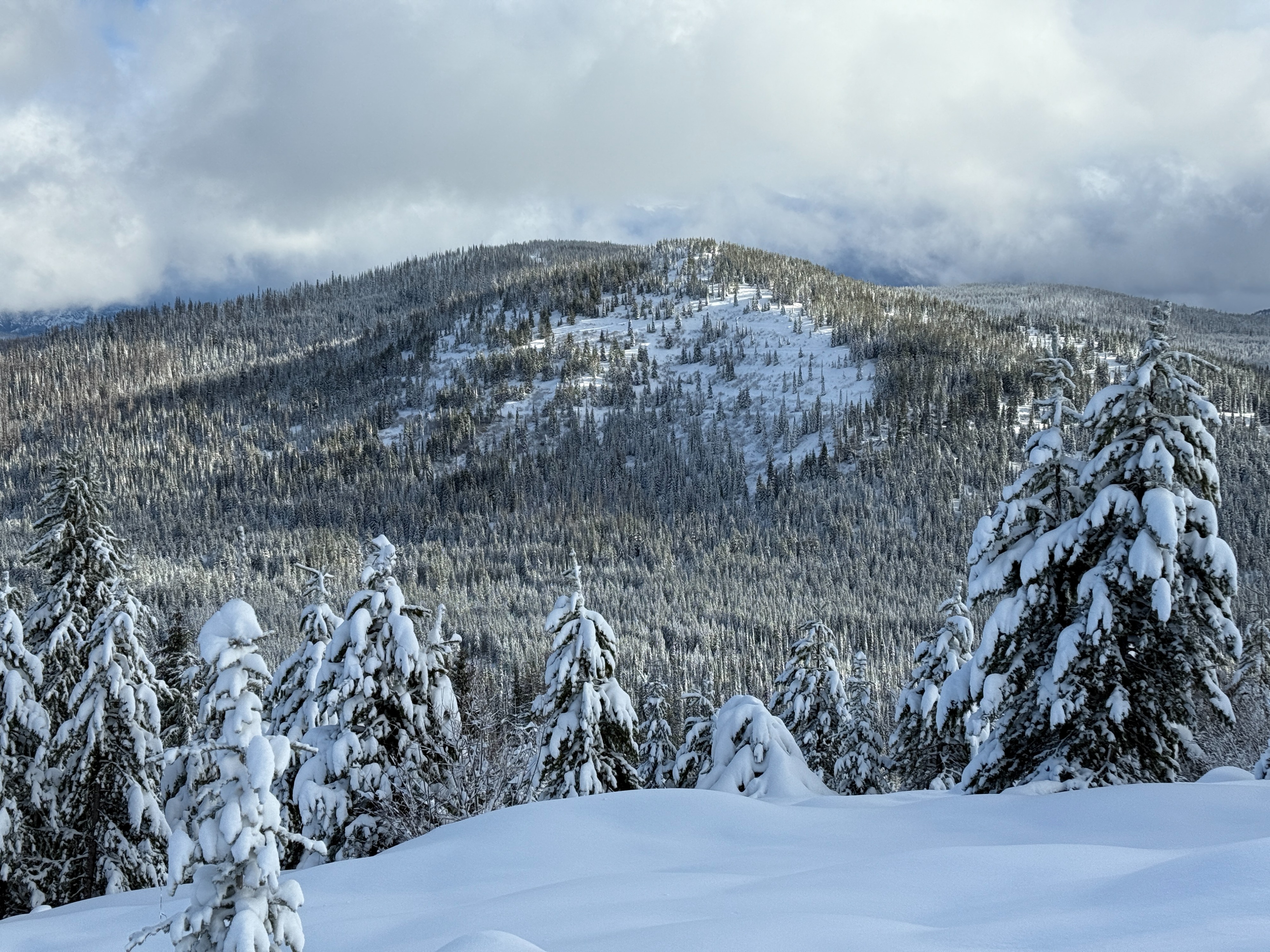
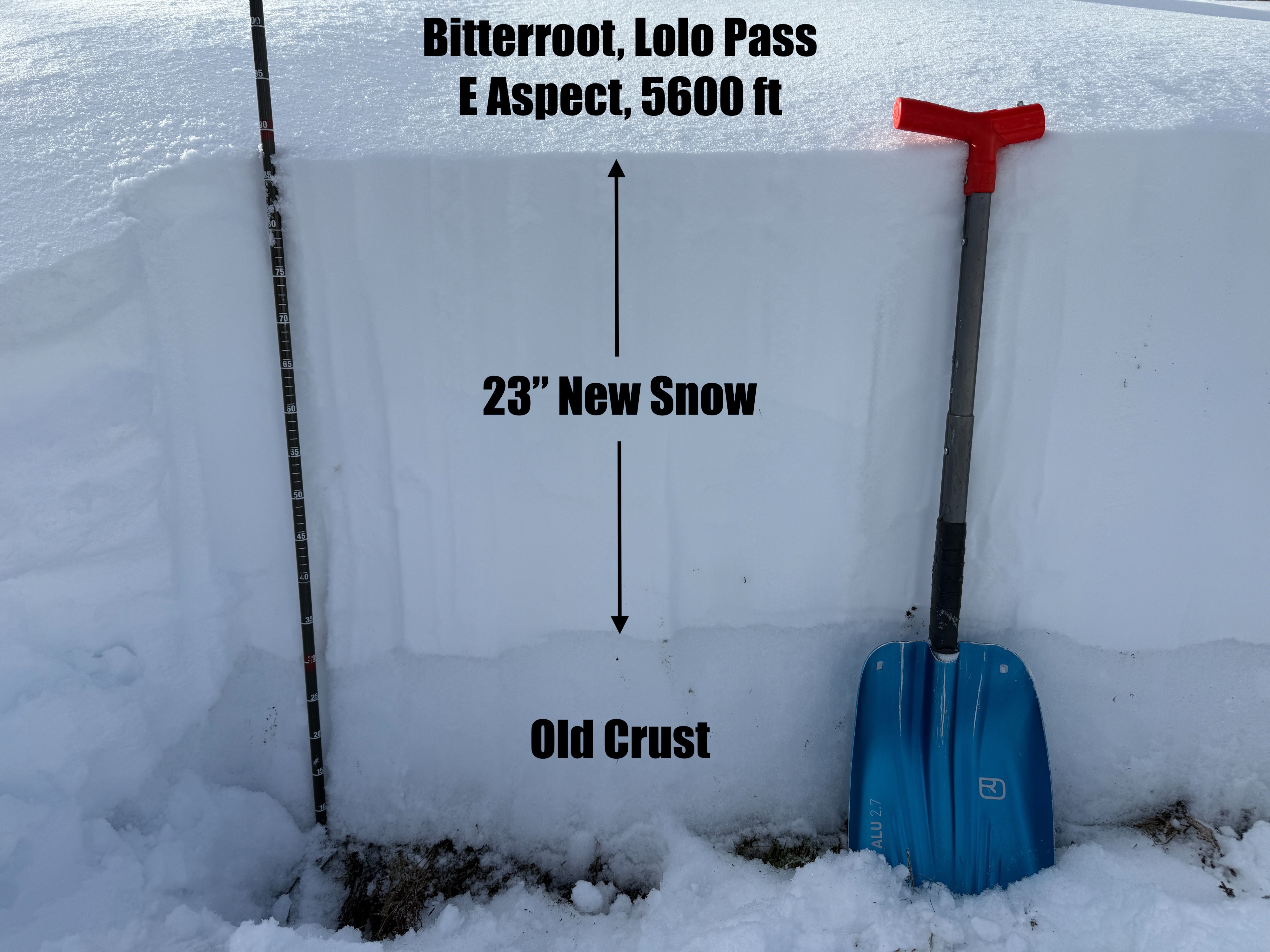
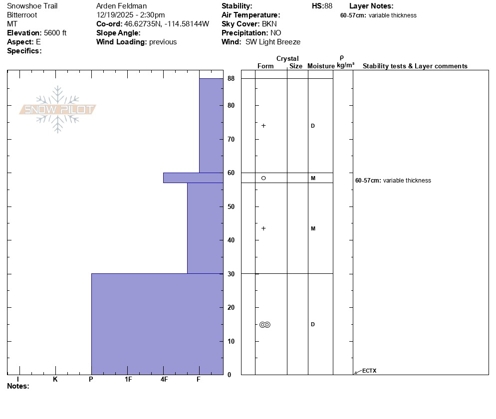
There was 1.5 - 2 feet of new/recent snow at Lolo Pass today - most of which fell last night and this morning. Thankfully, it's starting to look more like winter up there. The top half of the new snow was low density, cold, and dry. The bottom half of the new snow was moist and capped by a thin melt freeze crust. This was likely due to a rise in temperatures early this morning and some rain/mixed precip before the cold front transitioned it back to snow. Below the new snow, the old snow was only 1 - 1.5 ft thick and was frozen into a hard melt-freeze crust.
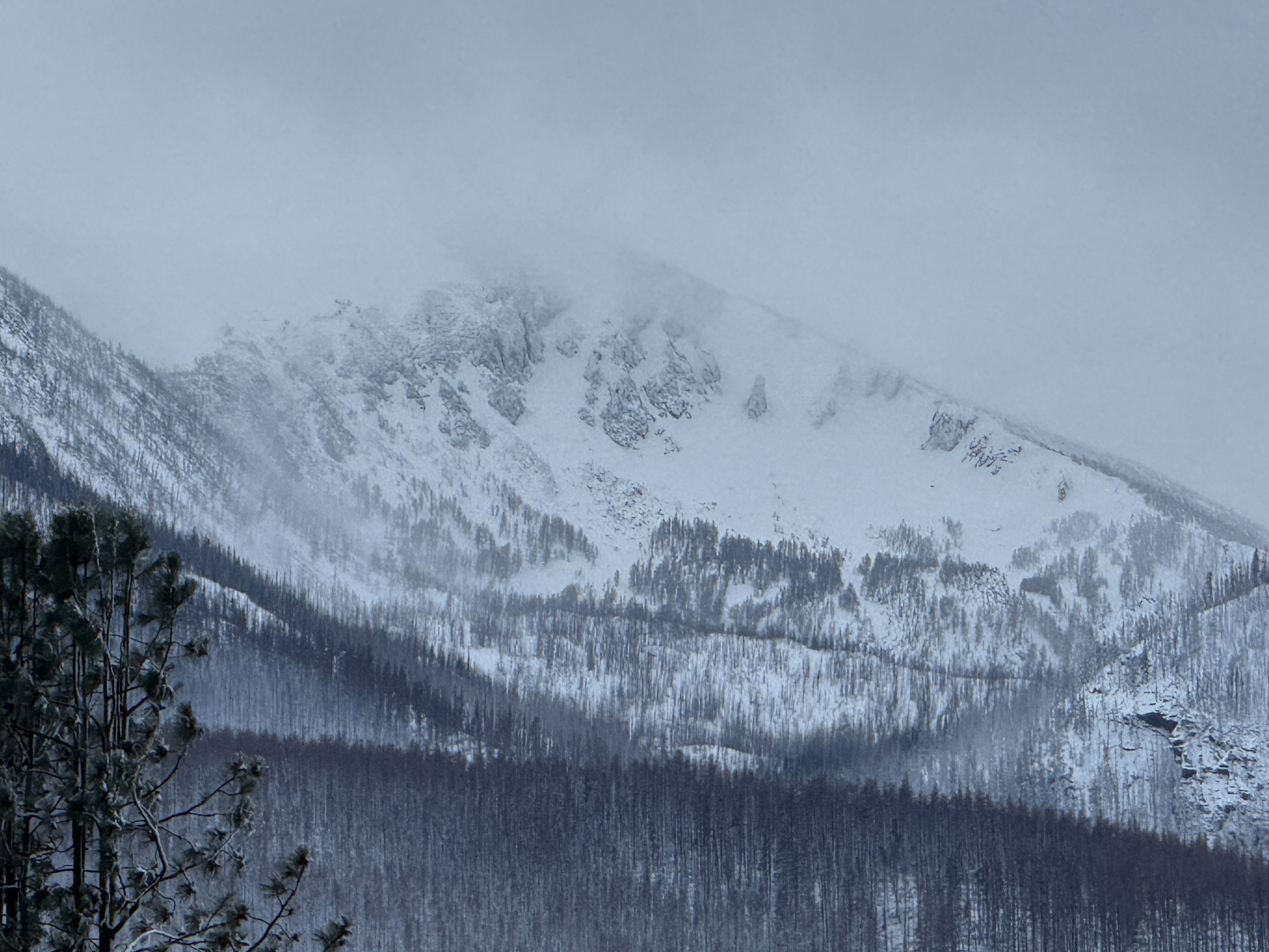
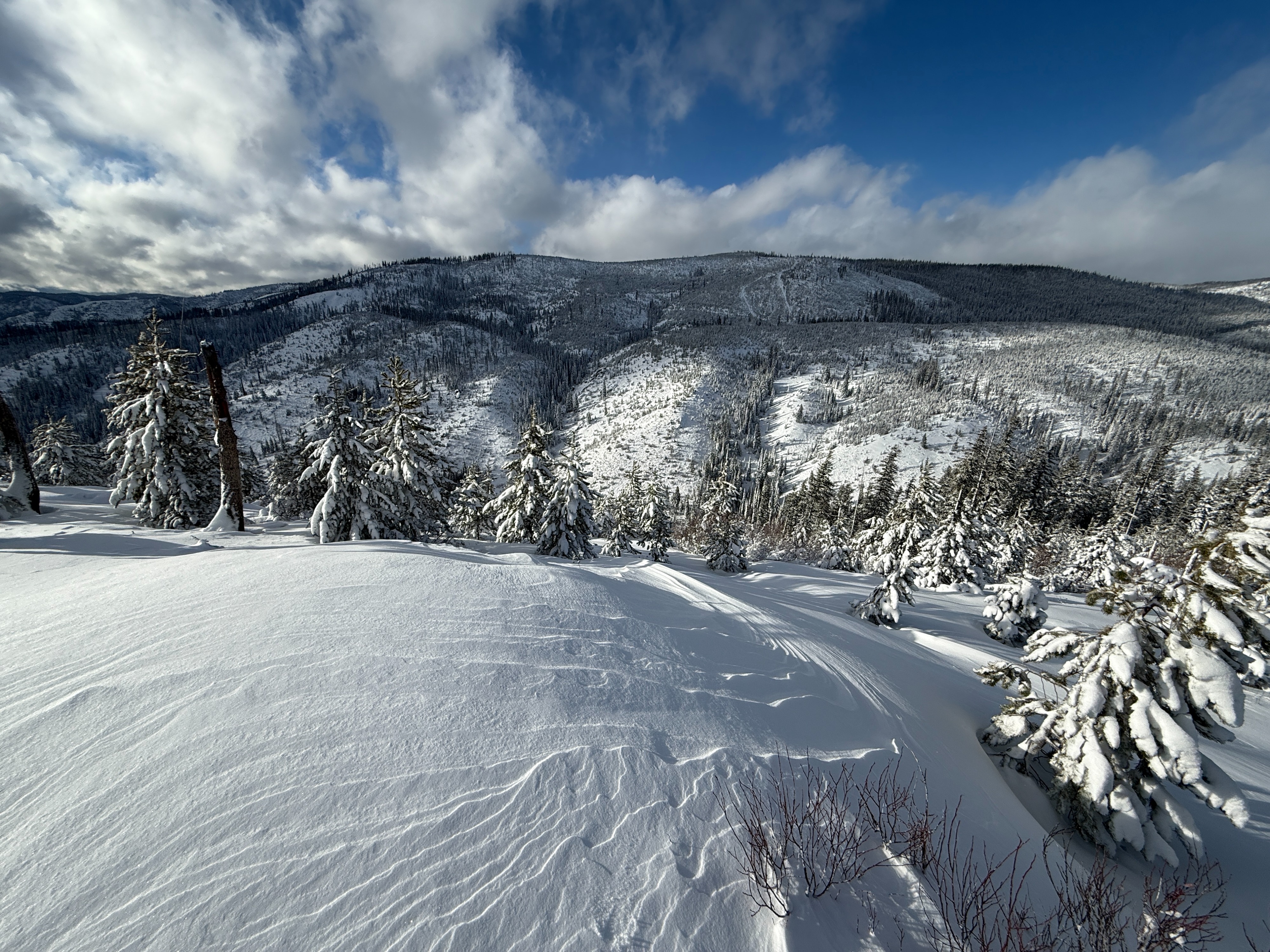
My travels today were mostly in wind-protected terrain. However, along the top ridge of the Highway Shots, there was some wind-affected snow. I observed some small cracking around my skis in this wind-affected snow. On my drive up to the pass, I observed significant blowing snow at upper elevations near Lolo Peak. I suspect that avalanche conditions were much more sensitive up there.
Weather
- Cloud Cover
- broken
- Wind Loading
- moderate
- Recent Snowfall
- 45-60
- Snow Avail For Transport
- large amounts
It was a nice afternoon at Lolo Pass with some sunshine making its way through broken clouds and occasional light snow showers. Winds were light out of the southwest, but appeared to be stronger at higher elevations.