
Quick report
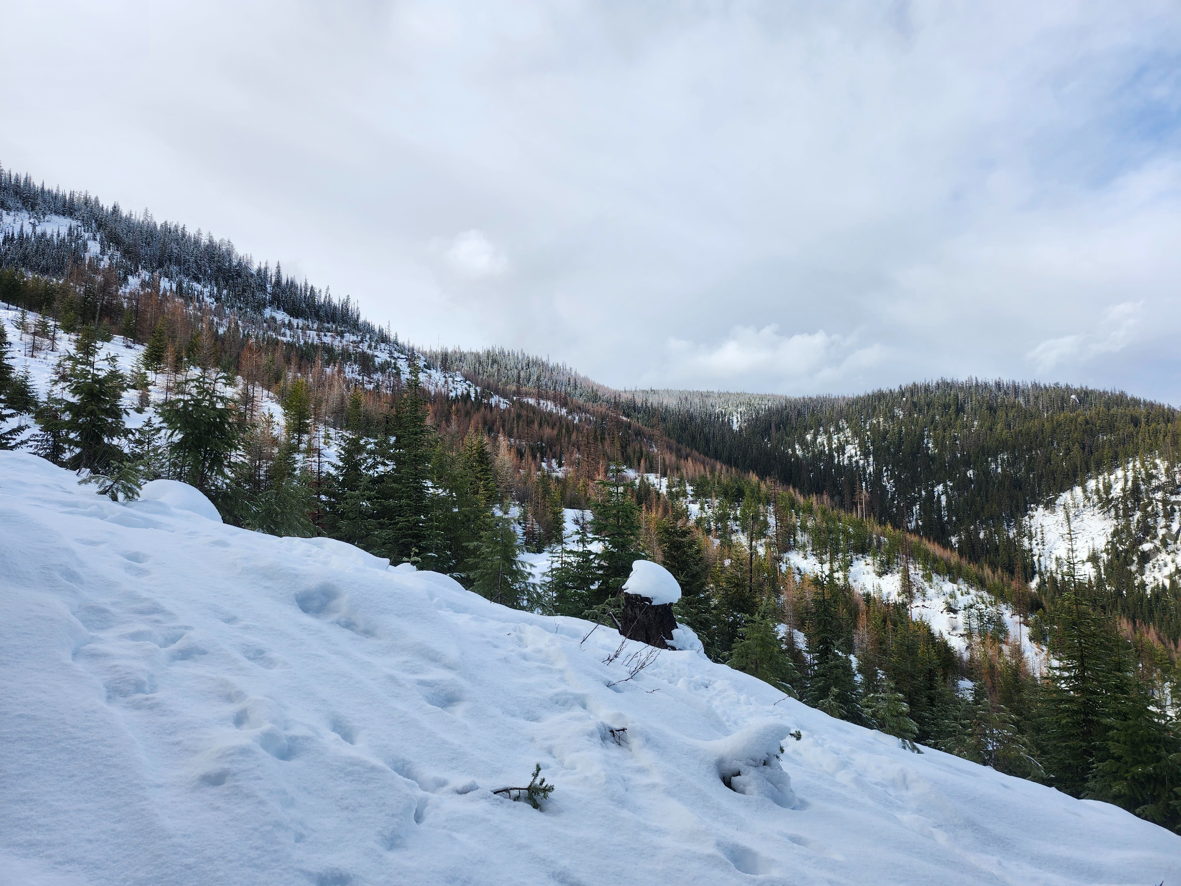
Breakable crust over moist snow made for poor ski quality.
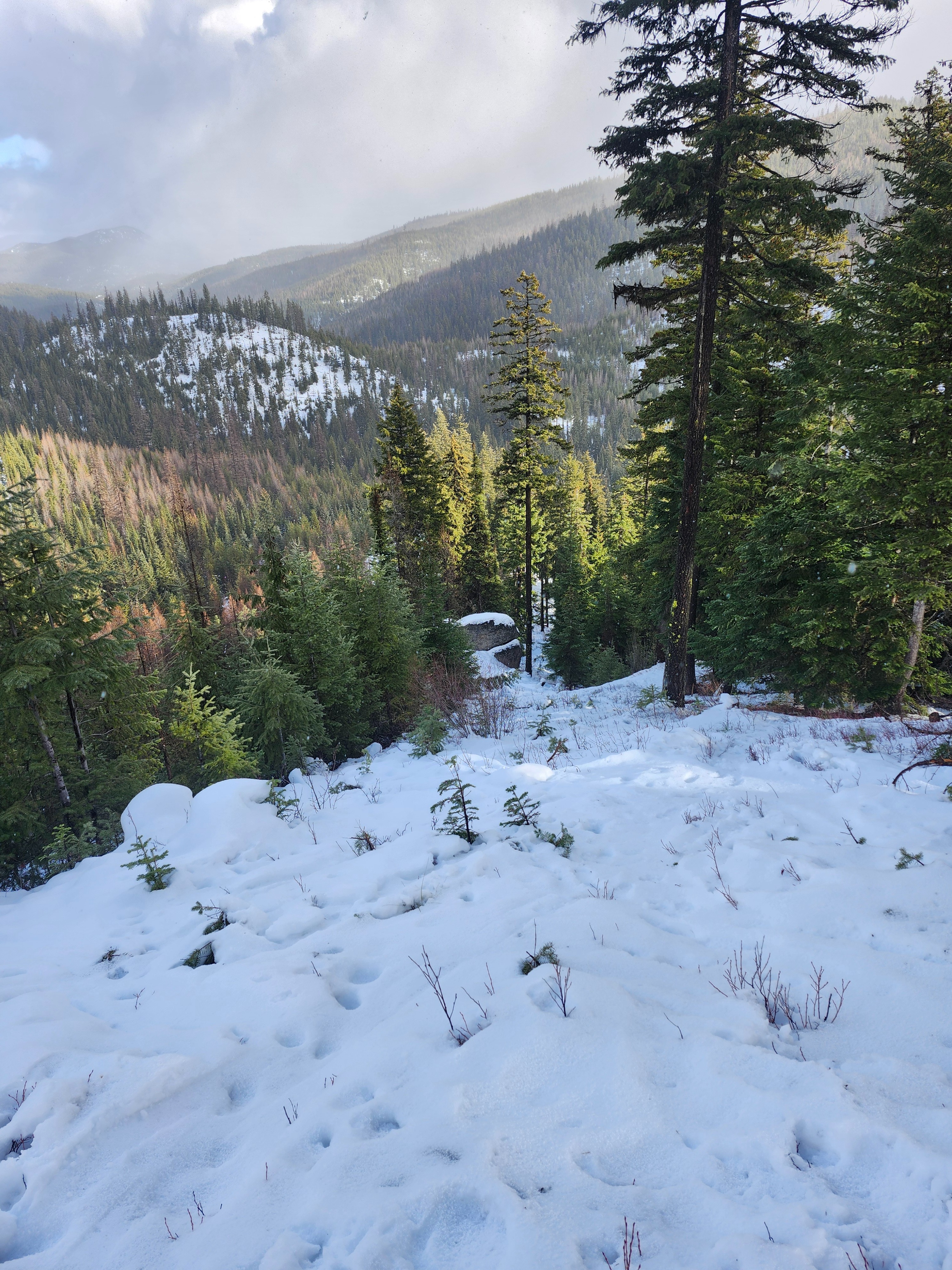
Just over an inch of new snow accumulated on this crust in the three hours I was out. There was blowing snow at my high point (6200 feet), but there was not yet enough snow to form wind slabs. I suspect higher elevations with more snow available for transport saw wind slab formation today.
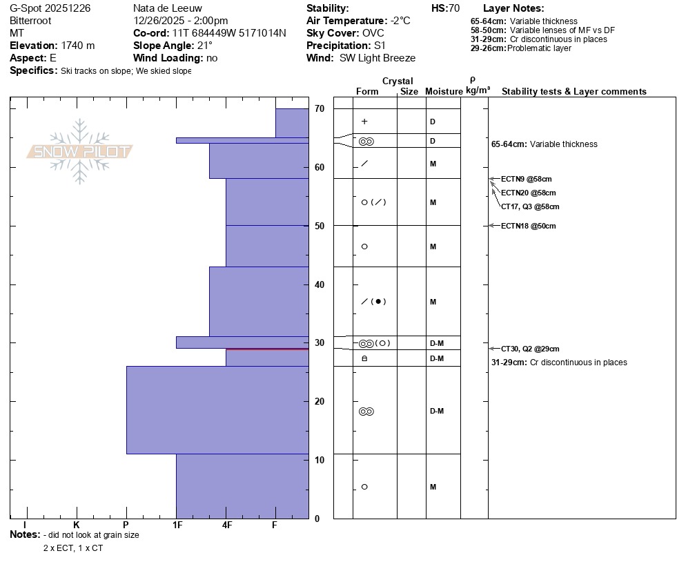
In a pit, I found a weak layer of sugary facets buried about 16 inches deep. I got no results on this layer in extended column tests, but new snow this weekend will be a better test.
Weather
- Air Temp
- 32
- Cloud Cover
- overcast
- Wind Loading
- none
- Rain Elevation
- 3700
- Recent Snowfall
- 4
- Snow Avail For Transport
- small smounts
When I left the car around noon it was a few degrees above freezing and just starting to snow. Throughout the afternoon it snowed off and on with temperatures at or just below freezing. Winds were moderate to strong from the southwest at ridgetop. At lower elevations winds were light.
Snowpack
An inch of new snow had accumulated on a thin and breakable melt-freeze crust. Below this was about 13 inches of moist, four-finger hardness snow. This is the slab that overlies our facet-crust persistent weak layer, which was buried on December 19th.
The only test result on the December 19th layer was a compression test, which failed on the final hard tap. The failure was planar, but not smooth (CT30 RP). No extended column tests failed on this weak layer. There were a few non-propagating extended column test results (ECTN) on interfaces higher in the snowpack.