
Quick report
- Cracking
- specific
- Collapsing
- specific
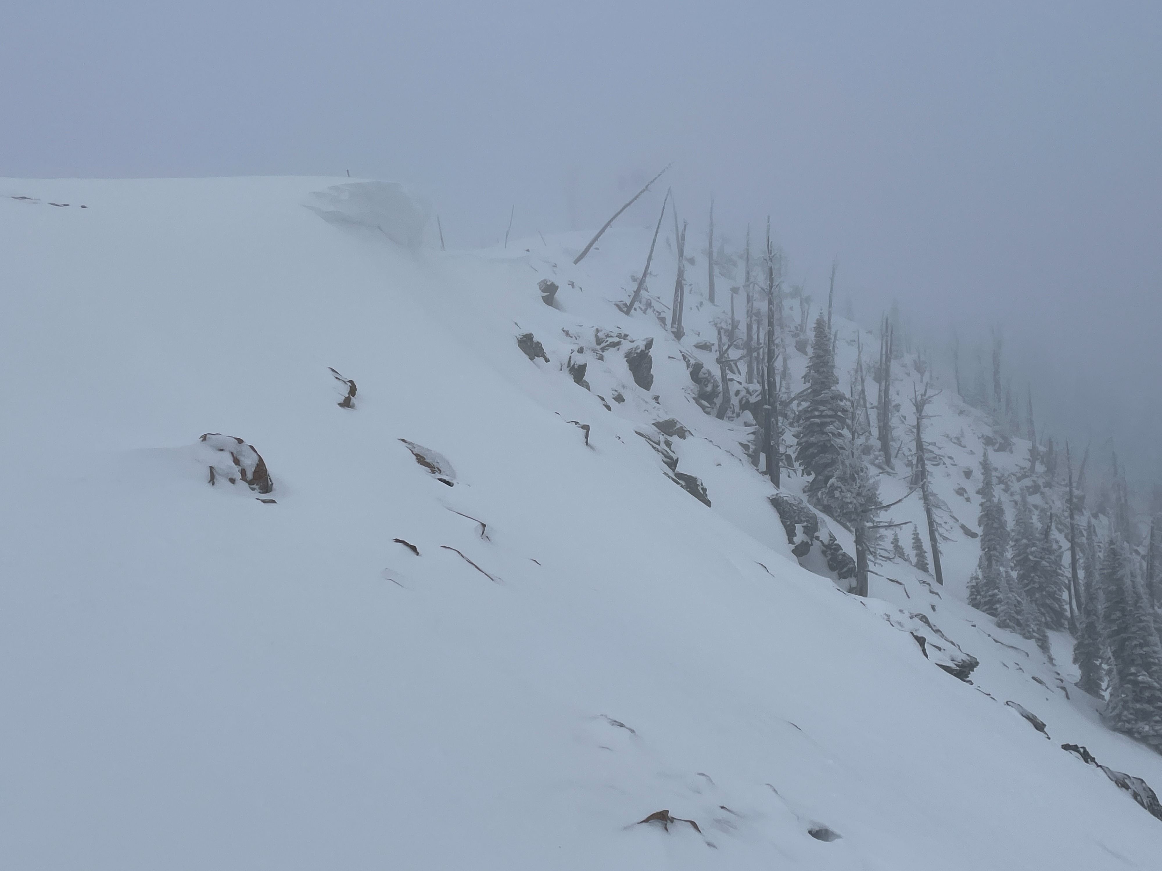
We observed increasing hazard today due to new snow and strong west winds.
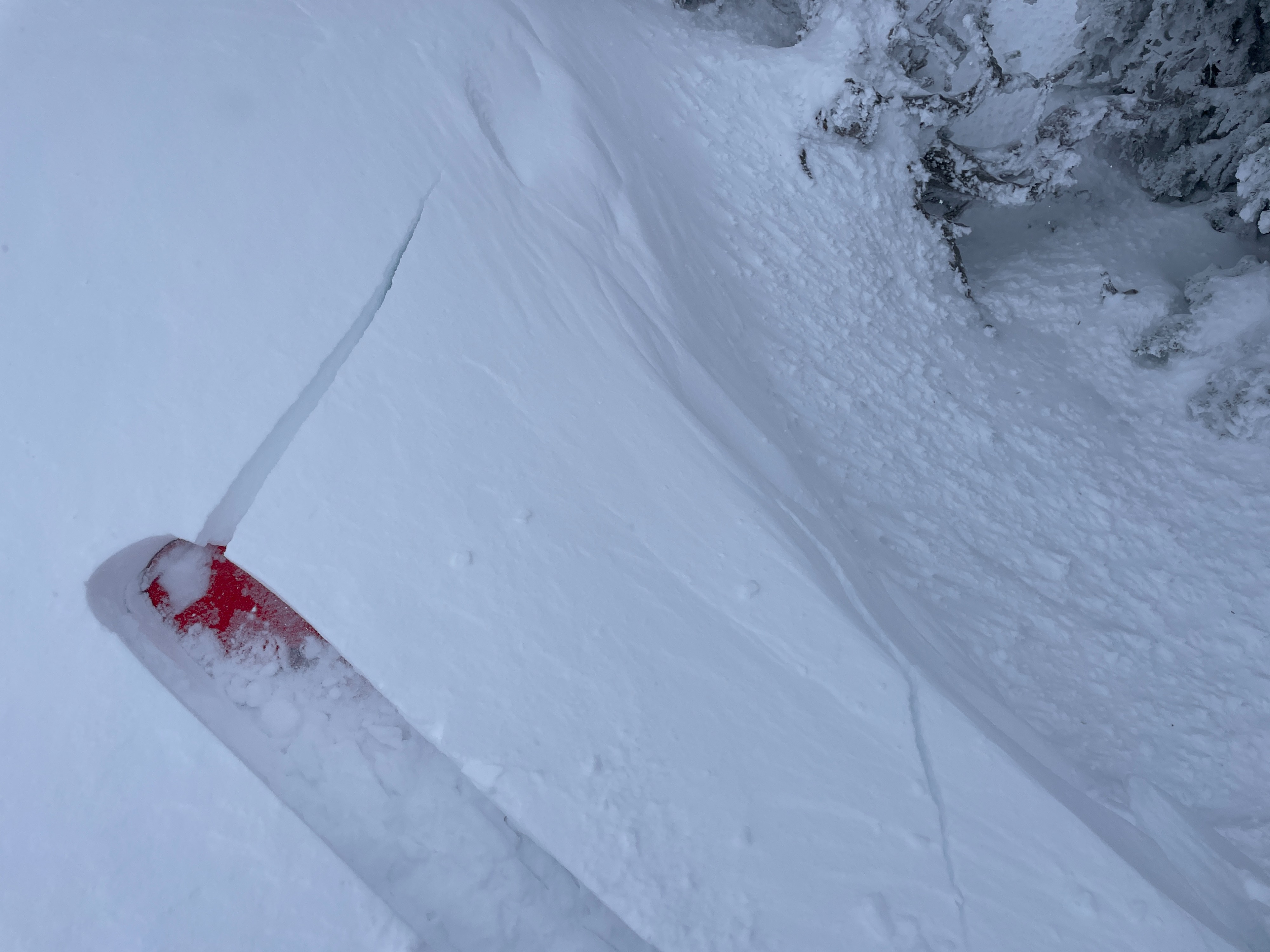
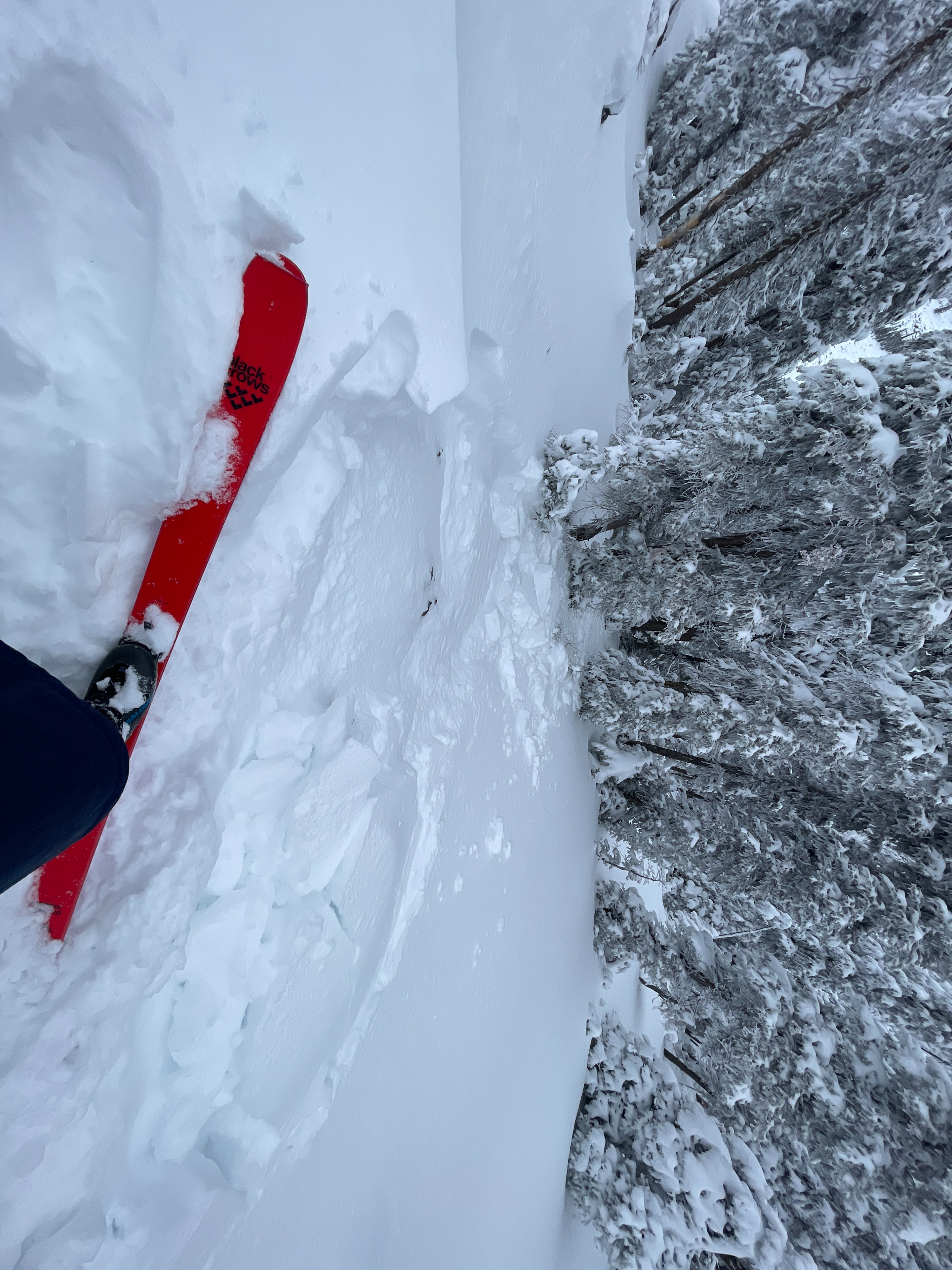
We observed cracking and collapsing in wind drifts at upper elevations. The sensitivity of the drifts was stubborn to reactive.Weather
- Air Temp
- 19
- Cloud Cover
- overcast
- Wind Loading
- moderate
- Recent Snowfall
- 15 cm
- Snow Avail For Transport
- small smounts
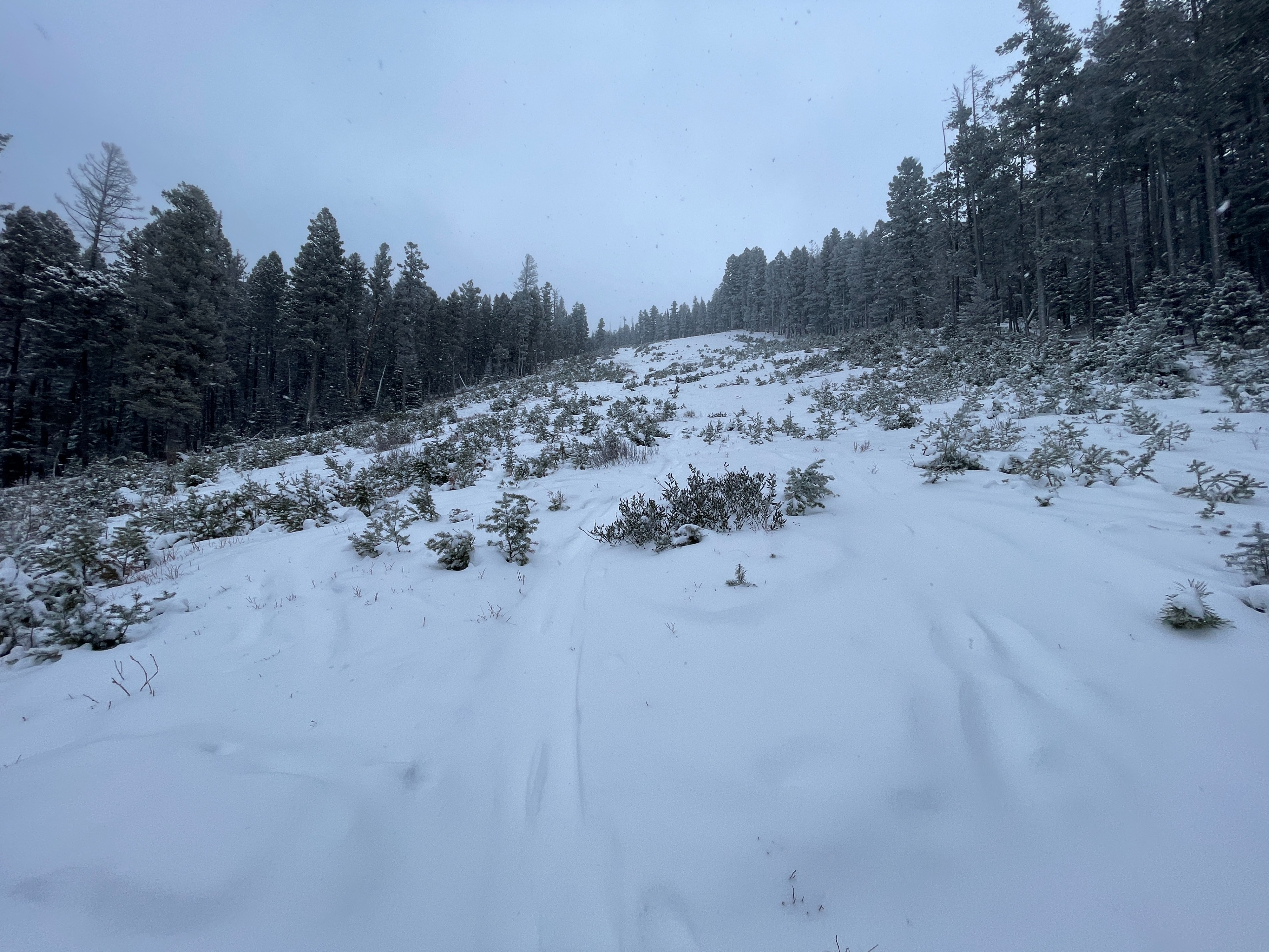
It was windy up there today with gusty moderate to strong west winds. The wind was most pronounced at upper elevation ridgelines but still impacted middle and lower elevations. The morning started with some light to moderate snow that tapered off during the day. The sun occasionally poked through the clouds in the afternoon. There were 3 to 4 inches of new snow, totaling around 6 inches of recent snow since late last week.
Snowpack
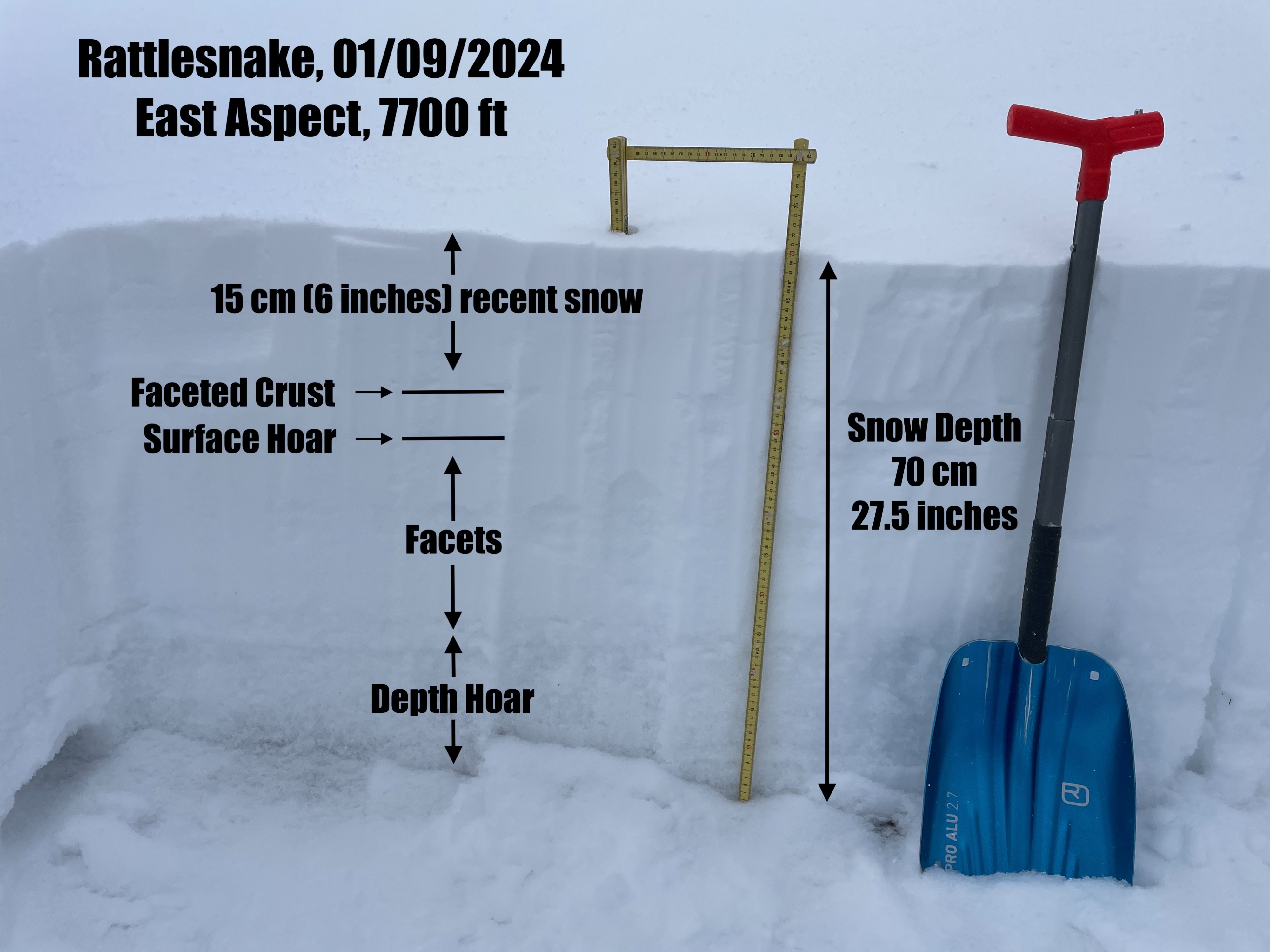
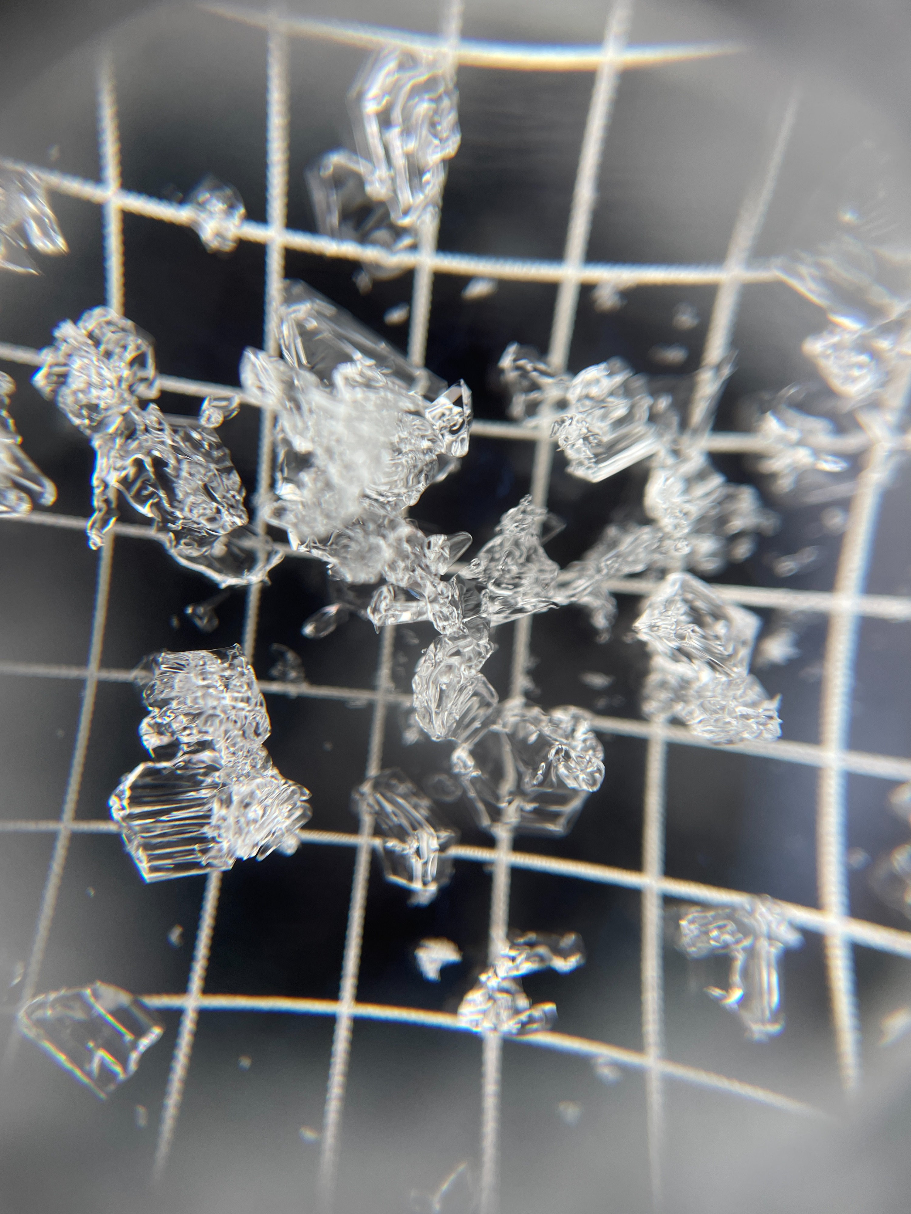
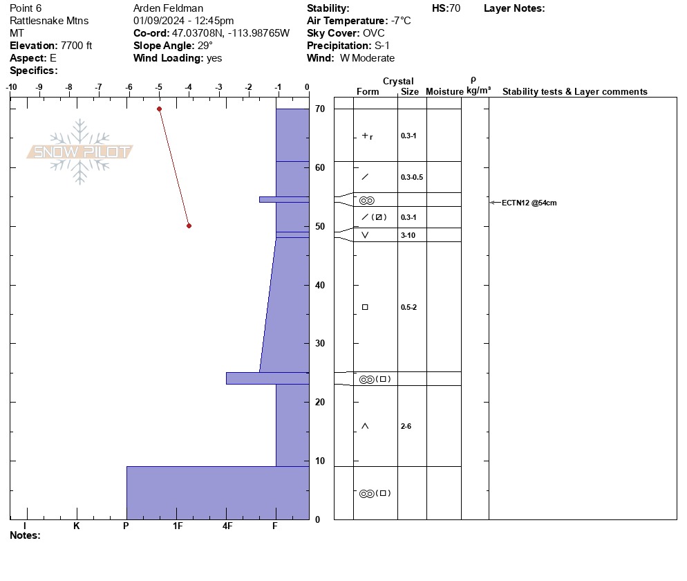
We dug a snow pit on an upper elevation east aspect that was not wind-loaded. We found around 6 inches of recent snow above a weak snowpack comprised of numerous weak layers. There were buried layers of surface hoar, facets, and depth hoar. Snowpit tests did not produce any propagating results. In protected areas, the slab above the weak layers was not strong enough to propagate a failure. However, in wind-loaded areas, where the slab is thicker and stronger, we observed cracking and collapsing. As snow continues to fall and the slab grows, we can expect instabilities to become more sensitive and widespread.
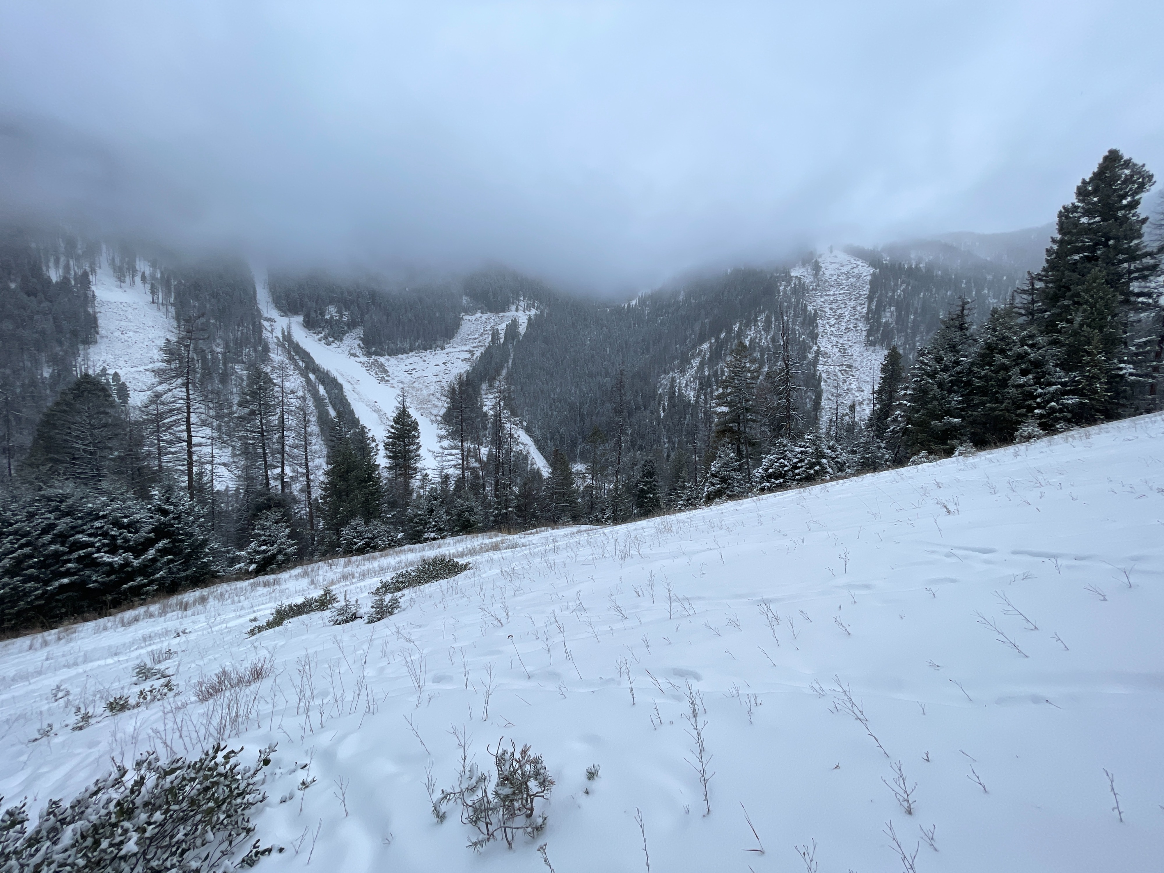
The snowpack at middle and lower elevations is growing but still very thin. There is minimal old snow below 6500 ft.