
Quick report
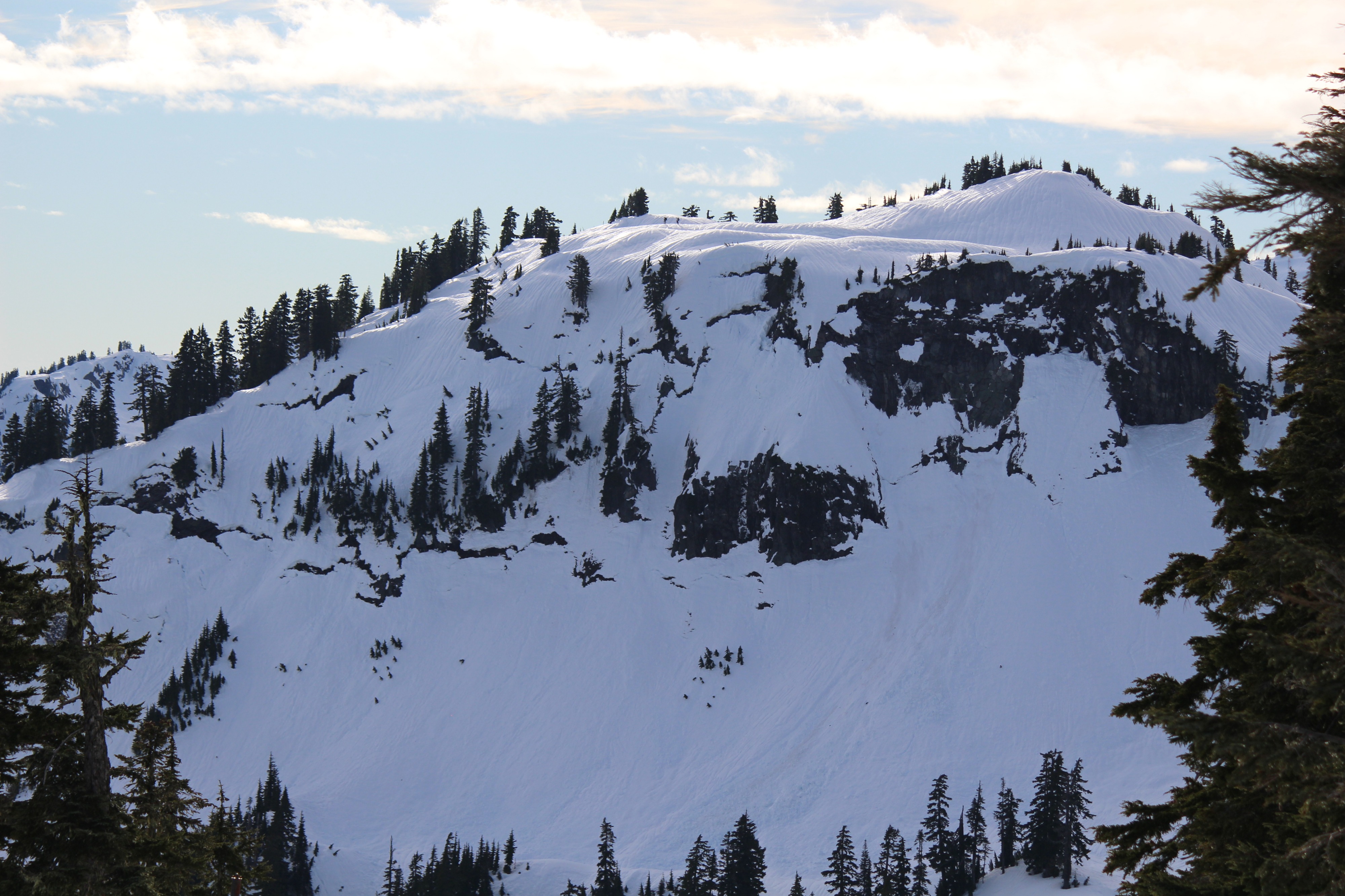
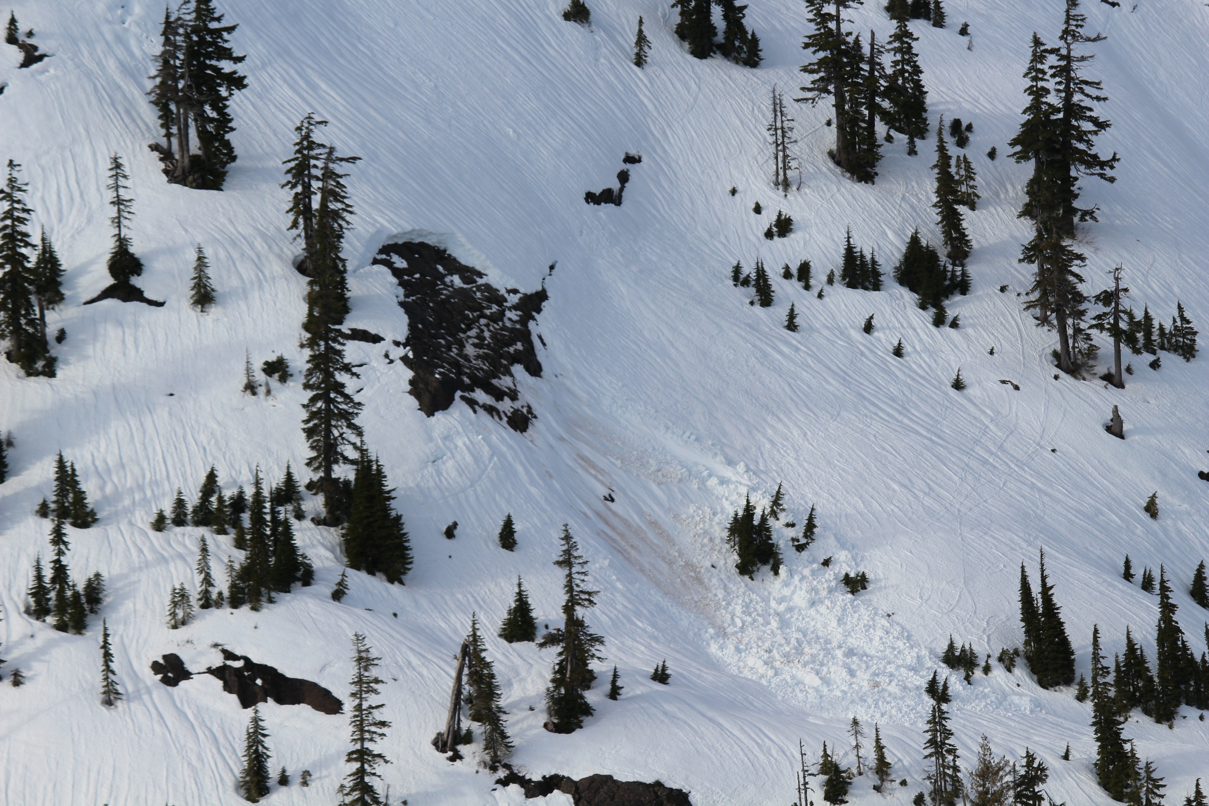
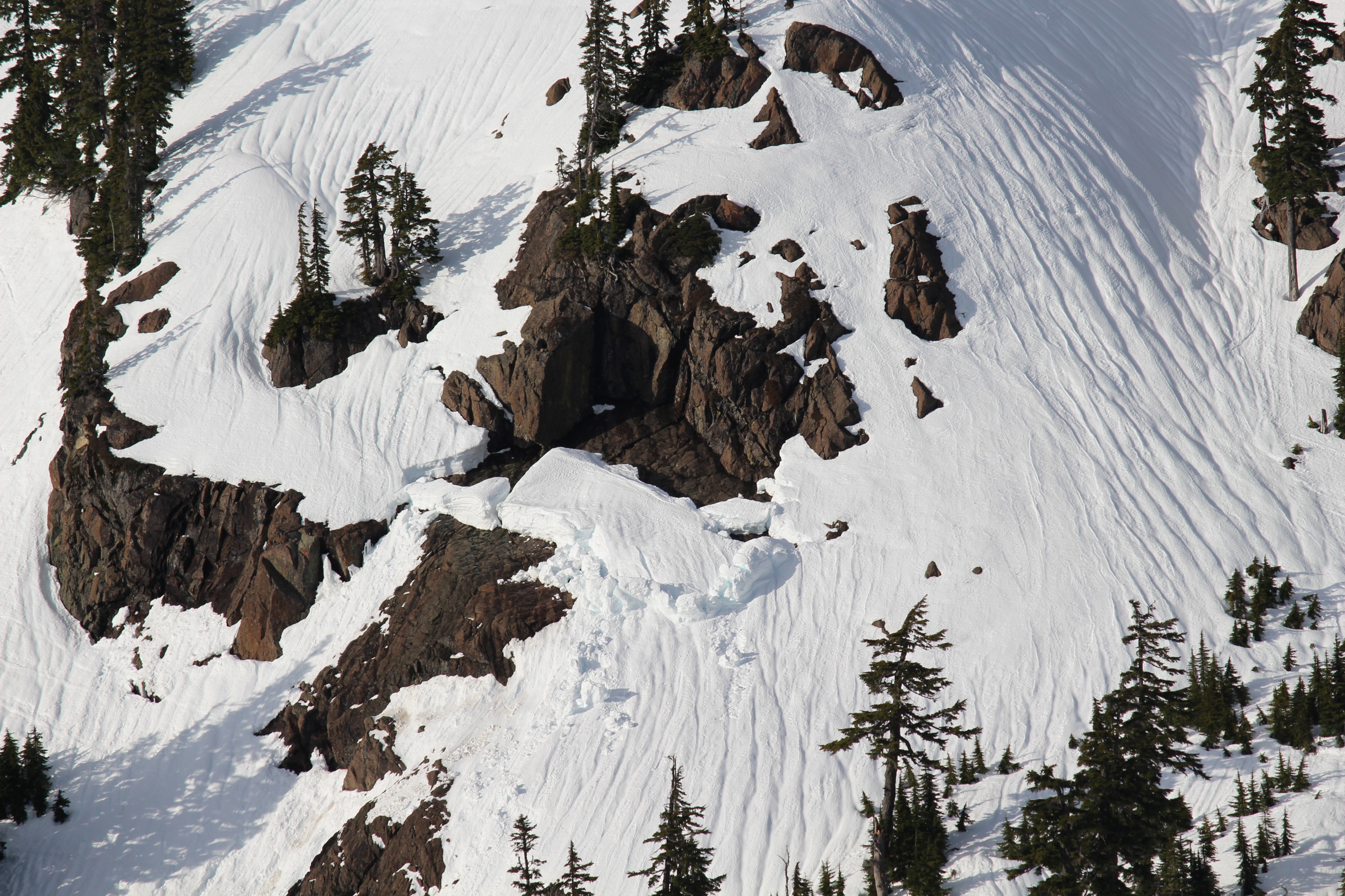
We wanted to investigate snowpack changes and see the aftermath of the atmospheric river that happened a few days ago. We also needed to work on the weather station ;) The weather and snowpack is completely different from just a few days ago. It was a glorious, warm day while we were out. In the morning, snow surfaces were soft, breakable crusts- supportable on skis but not on foot, and the snowpack is moist beneath the soft surface crust. During our outing, steep sunny slopes softened, but other areas remained crusty. Our main concern was glide avalanches, and we made sure to steer far away from slopes with visible cracks, as well as the terrain beneath them.
Many large glide cracks are visible. We didn't witness any active glide avalanches.Weather
- Air Temp
- 49
- Cloud Cover
- scattered
- Wind Loading
- none
- Snow Avail For Transport
- none
Clear skies in the morning quickly transitioned to high overcast in the afternoon. A big inversion was present at the start of the day, with temperatures right at freezing in the valley and almost 50 at both Heather Meadows and Pan Dome!
Snowpack
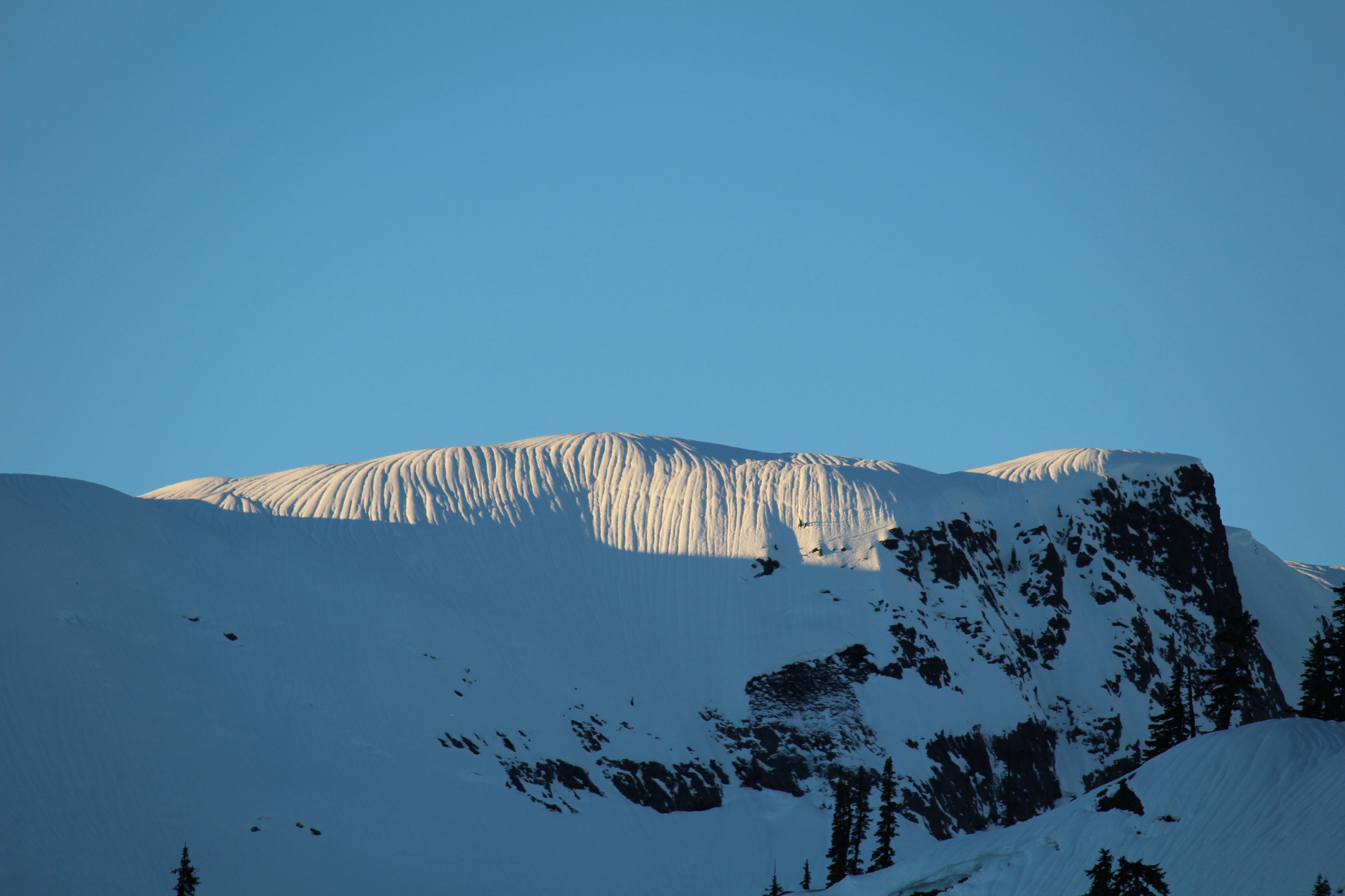
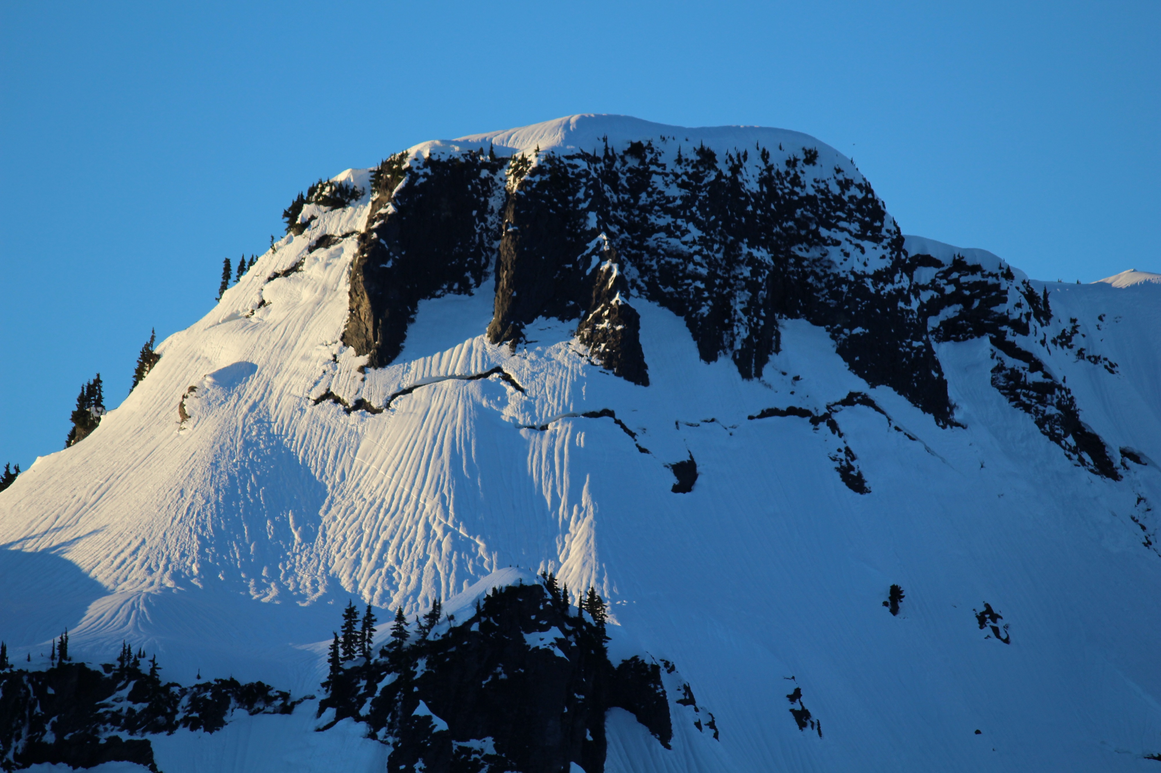
We lost a significant amount of snow during this atmospheric river- over a foot at Heather Meadows- and this was visible around trees and rocks, where so many spots were melted out where they previously hadn't been. Visibly, all snow surfaces were bumpy. In some areas, these were just irregular bumps, but in many places, runnels were out in full force.
When we arrived, there was a soft, semi-supportable crust on all surfaces. The surface was supportable on skis, but on foot, we punched through most of the time, averaging about 30cm of foot penetration. With the intense (!) morning sun, steep south slopes softened and became mushy. No snow surfaces have fully transitioned to "corn snow" yet.
We dug a pit in the Austin Pass area and found the entire snowpack moist, with snow generally right-side up, ranging from 1 Finger to Pencil. Interestingly, it was difficult to find the 1/3 interface, as there wasn't an abrupt harder layer any more. There were also several layers, bouncing back and forth between moist rounded grains and moist large-grained melt forms. We didn't find any pooling water- the snowpack was draining well.