
Quick report
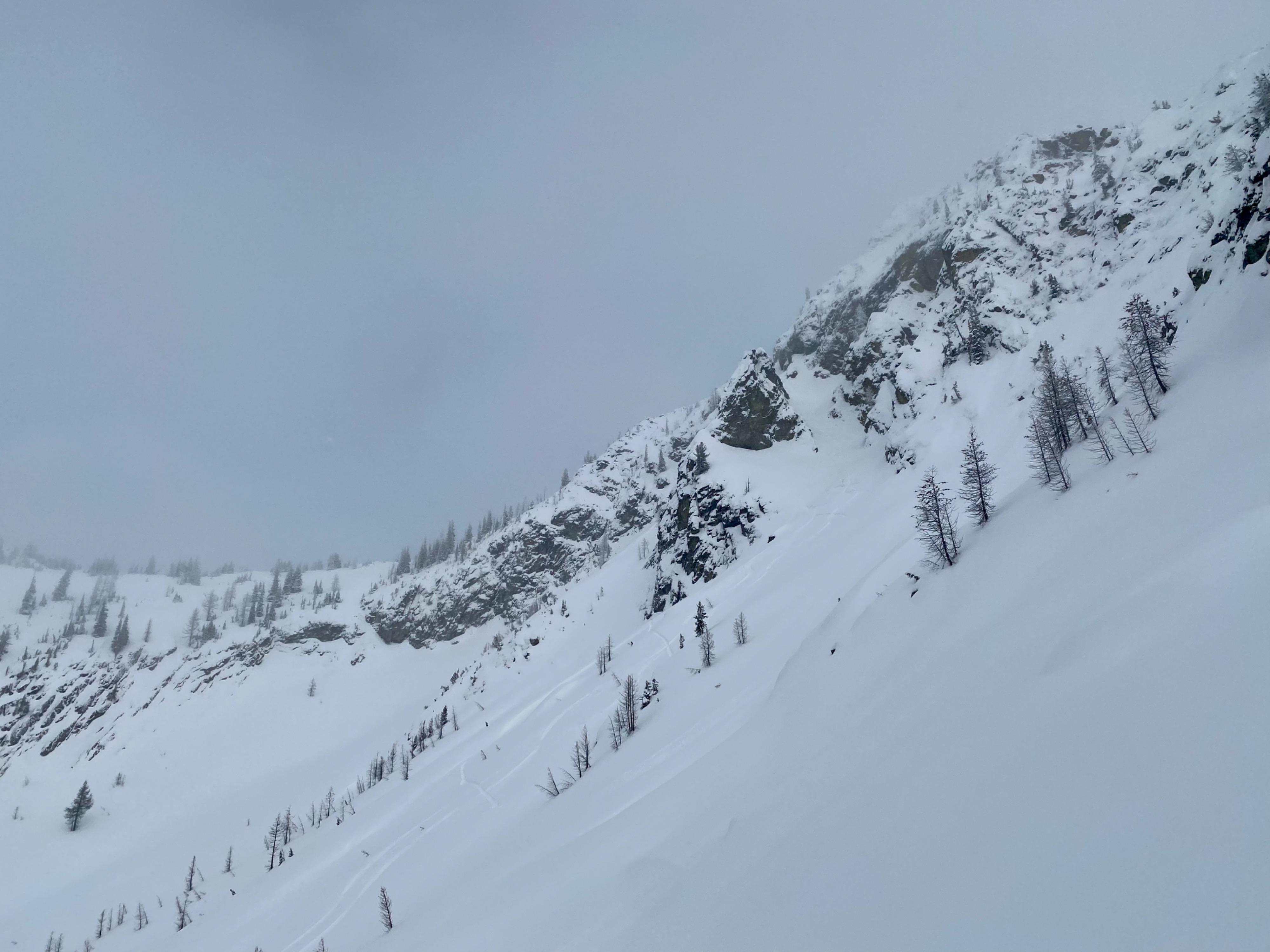
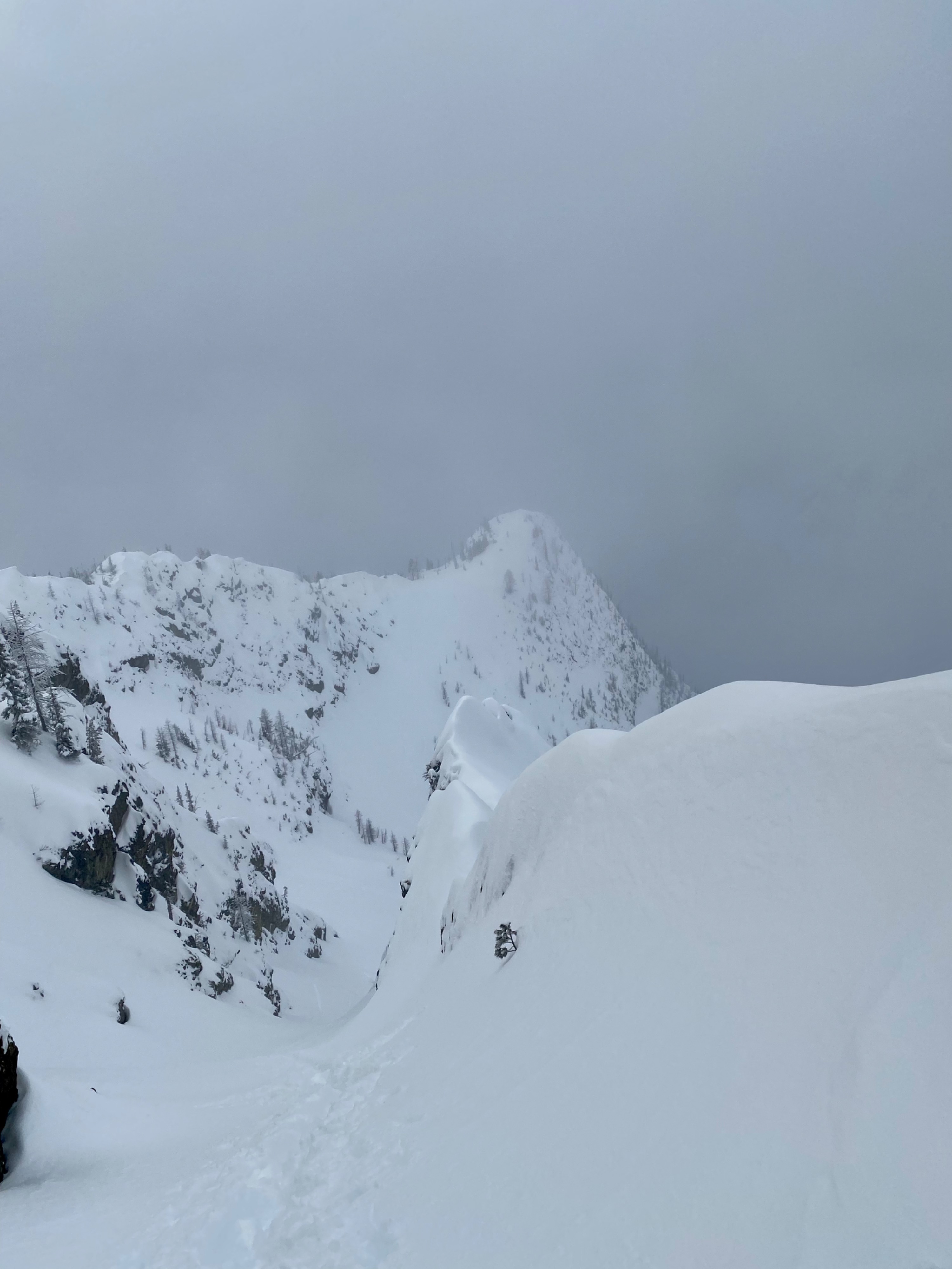
We travelled from the road closure up highway 20 and skied in the Blue Lake area. While gusty East and South winds were transporting moderate amounts of snow, we observed no stand-out signs of instability up to 7300'. The snowpack is below 100cm deep in elevations under ~6000'. Above that skiing was great. In areas with a deeper snowpack there are mostly rounded grains making up the middle and lower snowpack. Shallower areas are more facted.
We observed a very small 2" deep wind slabWeather
- Air Temp
- 26
- Cloud Cover
- broken
- Wind Loading
- moderate
- Recent Snowfall
- 7
- Snow Avail For Transport
- moderate amounts
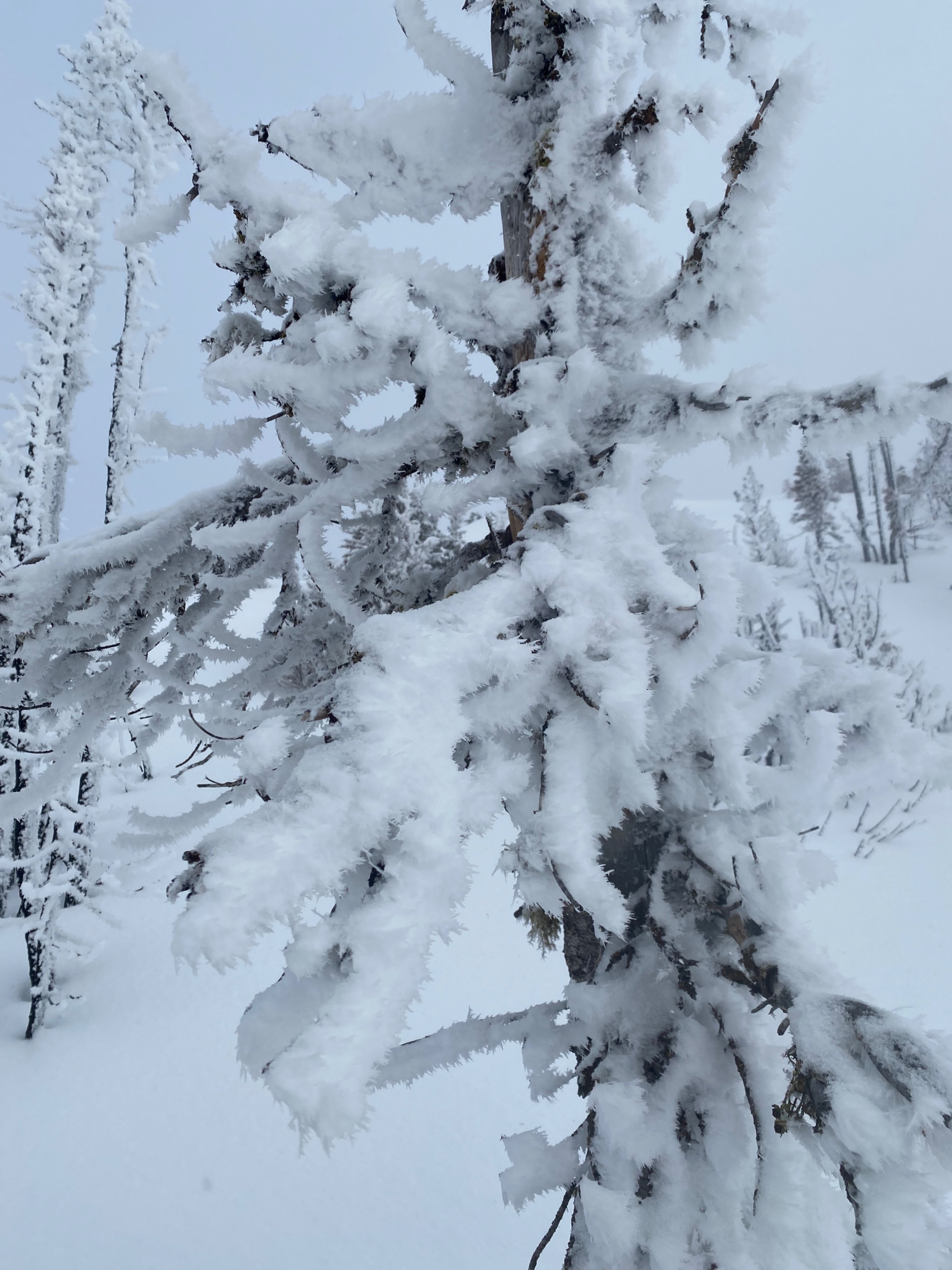
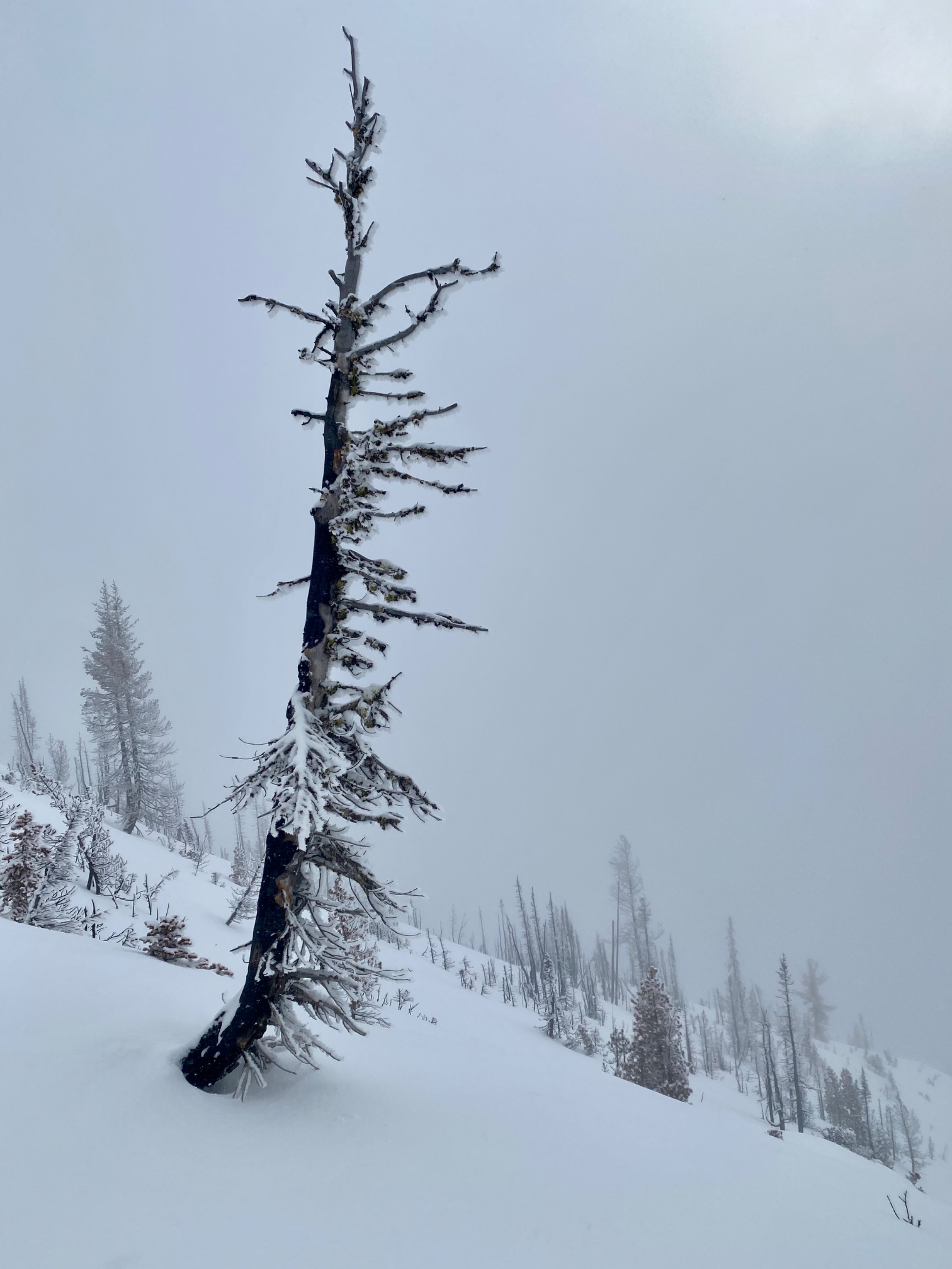
Clouds moved through the Washington Pass area with some breaks in the afternoon. Temps stayed near 26 degrees. About 3 inches of snow fell today. East and South Winds gusted to moderate speeds with light blowing snow swirling off ridgelines and cliffs.
Snowpack
The height of snow varried quite a bit in our travels . At 5000' the snowpack is only about 50cm with thick crusts. Above 6000 the effects of the December warm ups decrease and snow height becomes a more reasuring 80 to 120cm. In shaded slopes above 6500' the Dec. 10th crust is barely noticable and skiing is good.
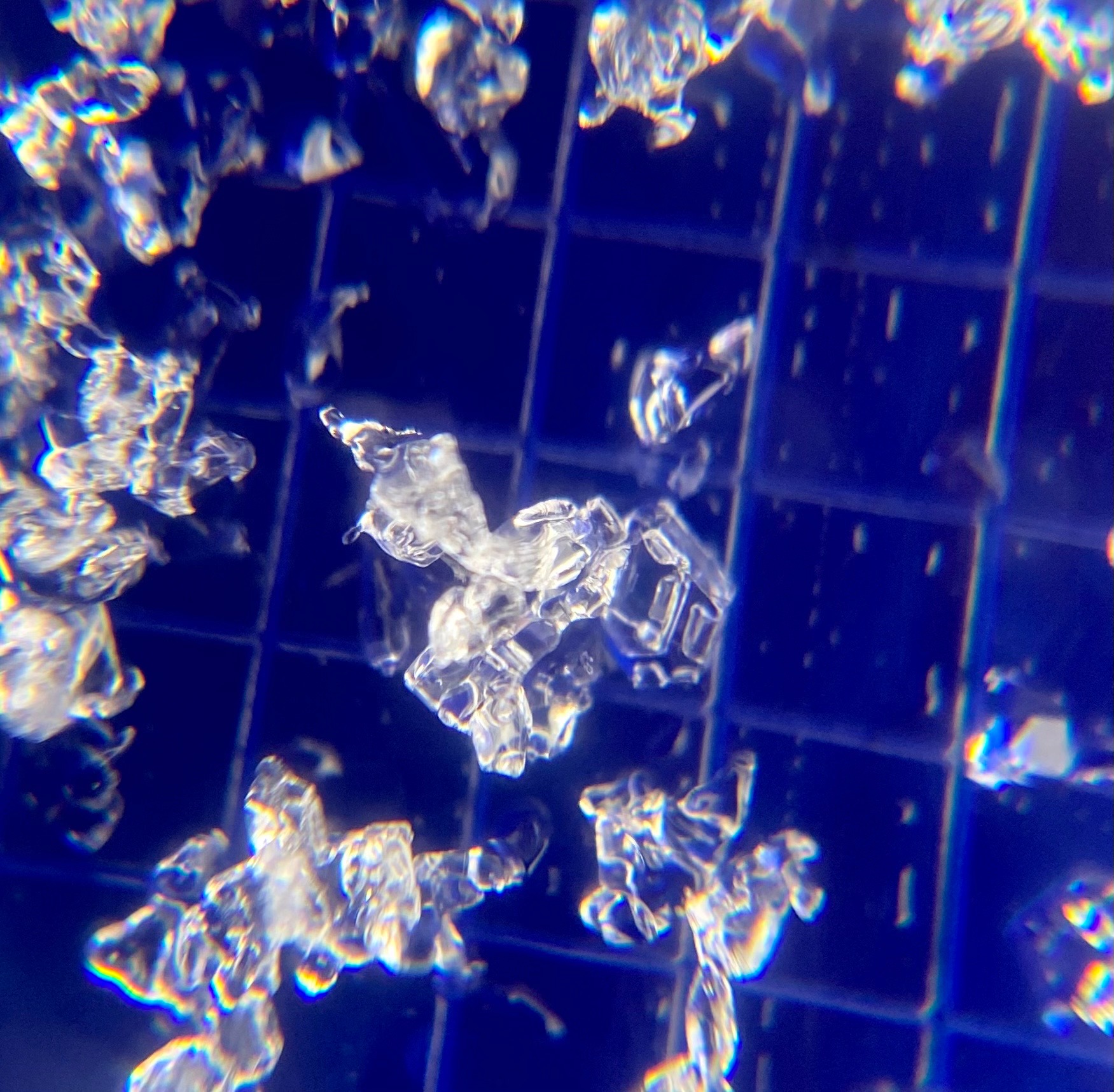
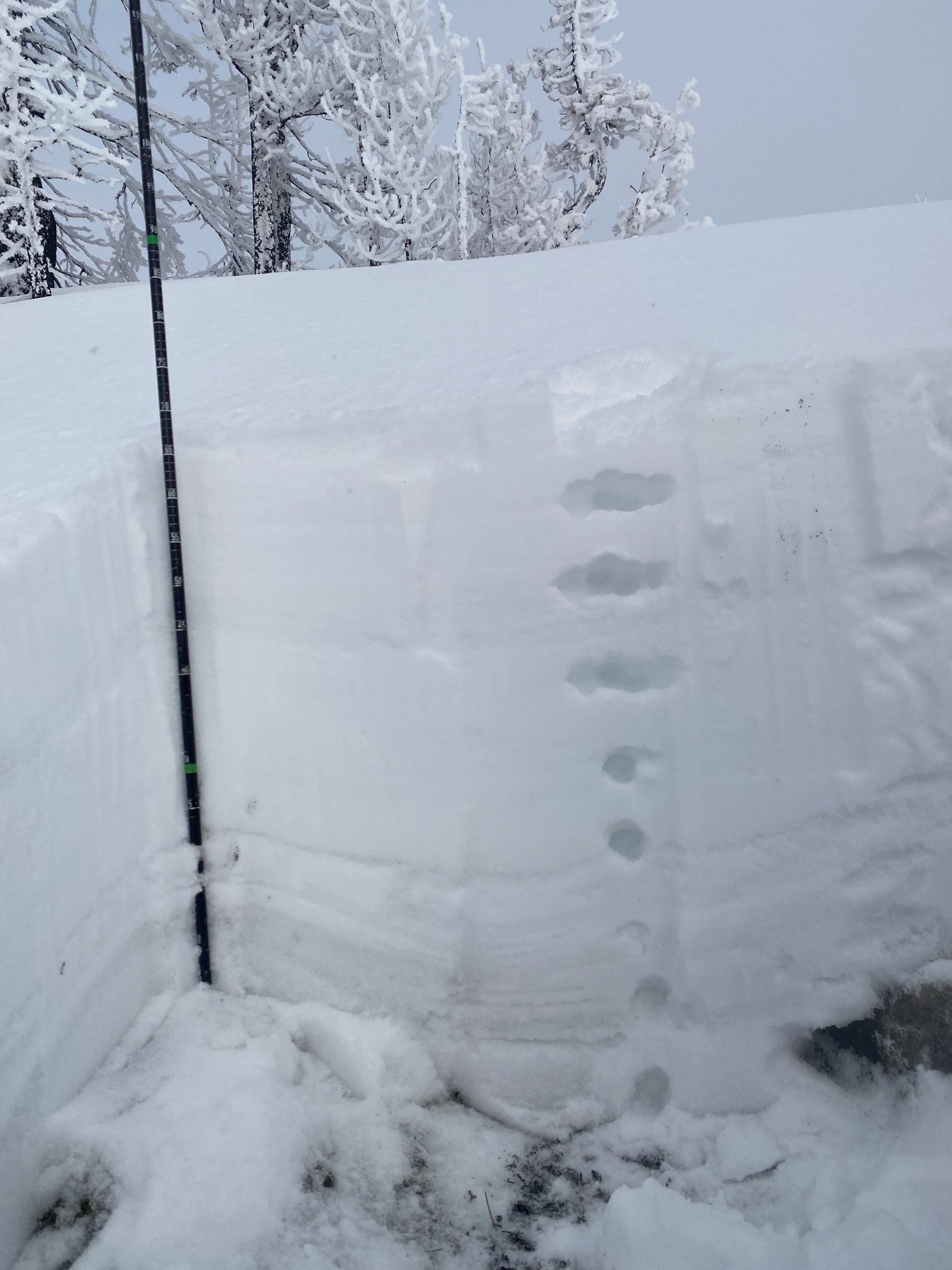
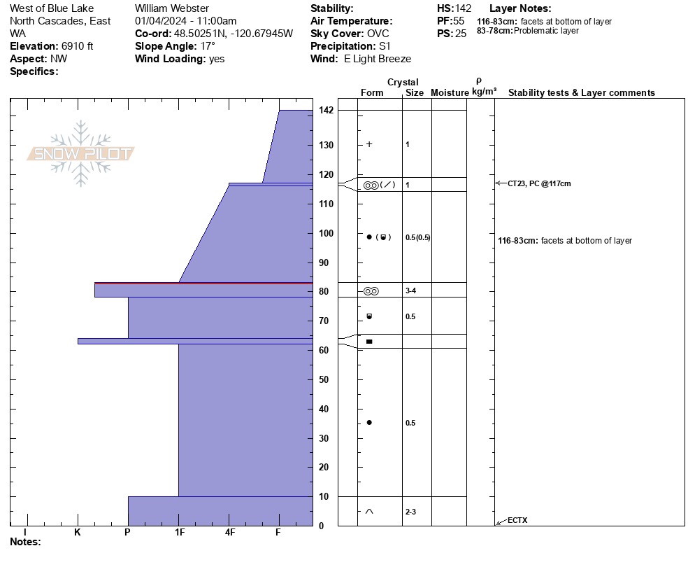
In a deeper 140cm pit at 6600' on a shaded NW aspect we found mostly compact rouded grains above and below the crusts in the snowpack with some subtle faceting above the Dec. 10th crust.
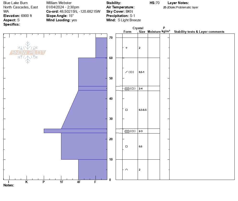
In a 70cm snow pit on a S aspect we found more mature facetting in the midde and lower snowpack. The dec. 10th crust in particular has converted to faceted froms.
In spite of the different depths and grain types we found no signs of instability in our pits or our travels.