
Quick report
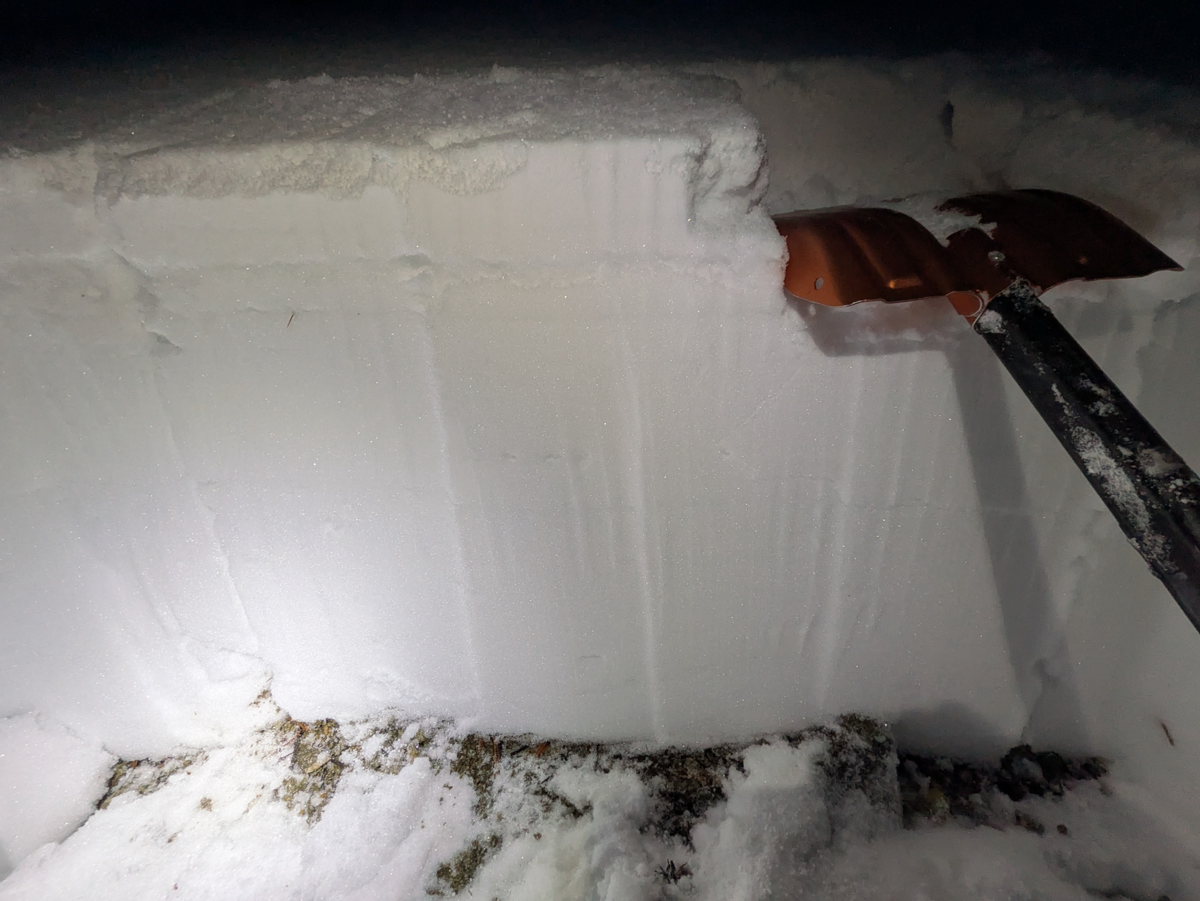
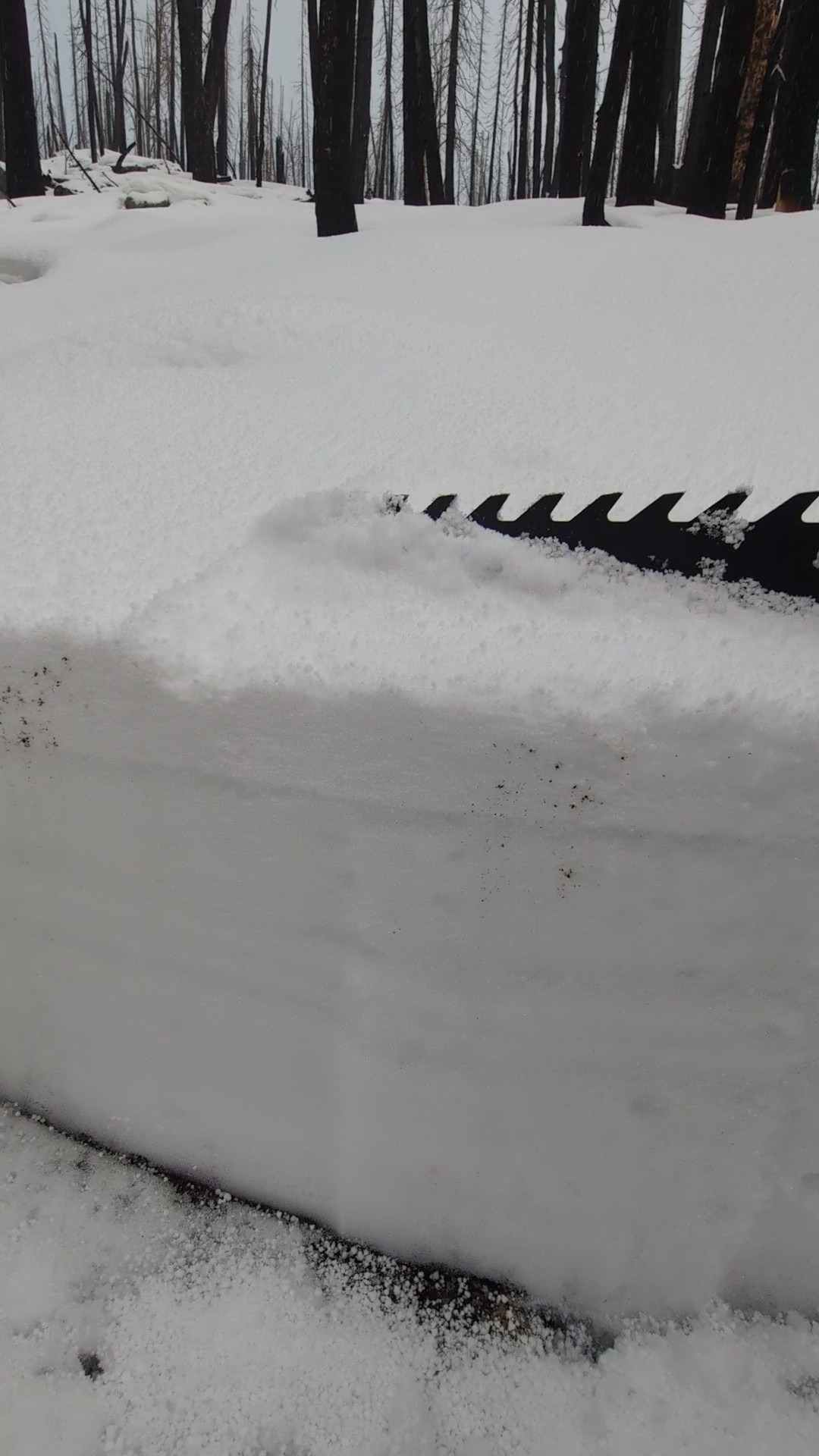
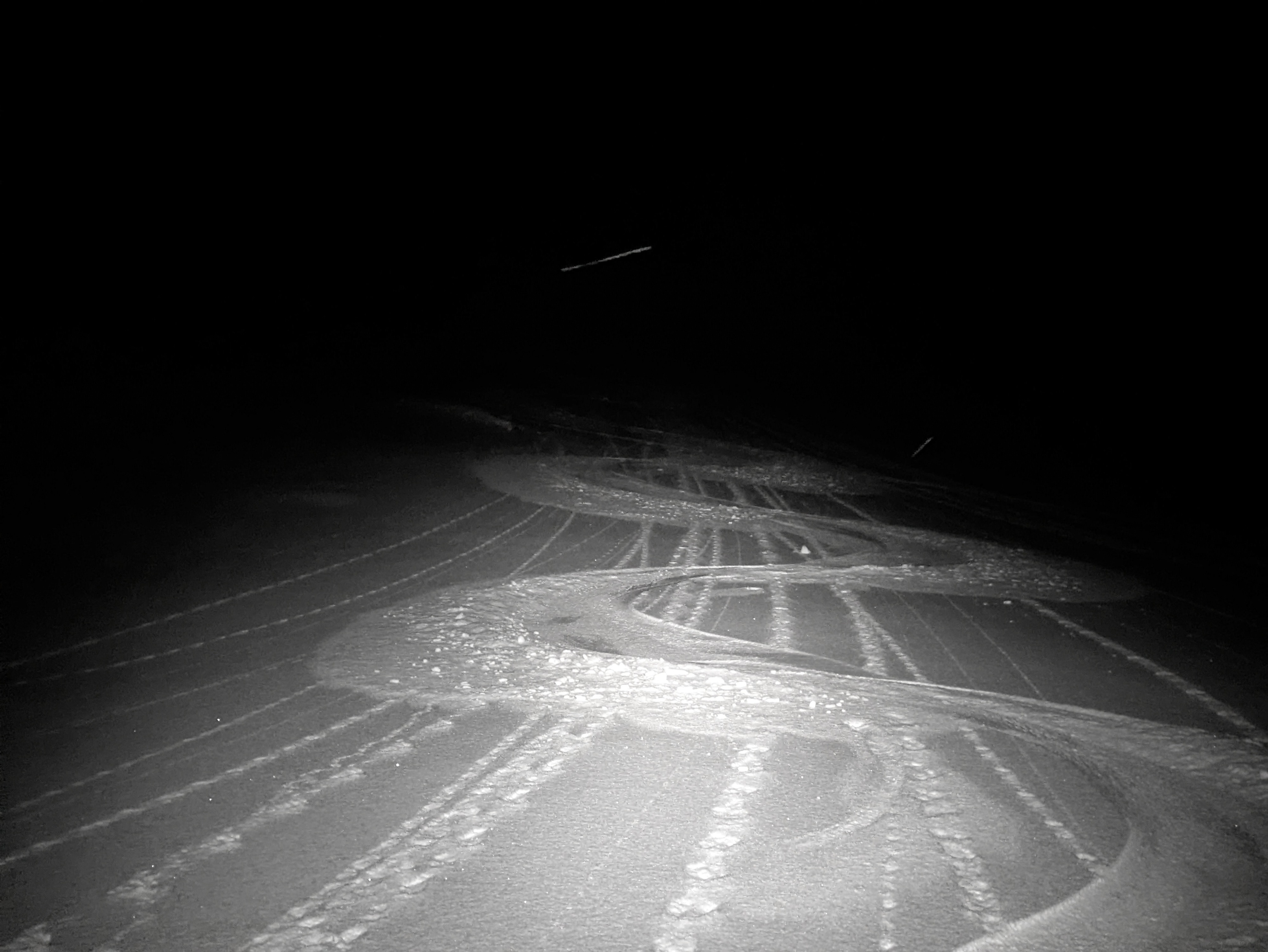
The snowpack has drained and cooled significantly. Down lower, a thick, ski-supportable crust exists on all aspects that have snow. This crust gradually changes as you gain elevation, and eventually, the different pulses of moisture from the 11/14-11/18 storms become apparent. It does look like it rained up towards 10,000' here on 11/14-15 before temps and rain lines dropped. I didn't spend enough time with a lens out to distinguish between rain/wet snow line, but it clearly was warm and wet up high. Continuing to observe a relatively high previous snow line that quickly appears as you gain elevation. Patchy snow is present on shaded aspects by 8,000', with coverage becoming pretty widespread by 8,500'. This snow line was a little lower (~500') than what I've been finding across the street in the Boulders. There was just a dusting of new snow down low, with 2-3" of mostly graupel by 8,500'. Thanks to the strength of the crusts, any areas with old snow are doing a great job of blanketing the landscape and keeping your skis at the surface. This layer would act as a smooth bed surface, even in areas without a ton of snow height. At the lower extent of the snow cover, it looks like the warmed, rained on, and now-refrozen snow will be acting as the new ground, with any avalanche concerns developing above the icy block of snow sitting on the ground. As you gain elevation, particularly above ~9,000', the crust complex is less robust, the snowpack is drier and less water-affected, and it's not hard to imagine facets developing deeper in the snowpack. The most likely location for this faceting would be around older rain crusts buried in the snowpack. I couldn't visually see this happening, but it felt like the snow adjacent to crusts was weaker and more willing to fall out of the pit wall. The mid-November crust complex (this is the 11/14 warm drought surface + rain + wet snow + graupel and new snow) will be a tricky potential weak layer. Impressive how much and how quickly this changes with elevation. Very interesting to watch this form, and will be interesting to watch how it behaves when loading resumes. Winds did not appear to have blown much in the past few days, the new snow I found at upper elevations had been minimally transported. I did not encounter any reactive wind slabs, small wind features I encountered were soft and unreactive. Ski quality and travel conditions have improved significantly as the snowpack drained and cooled. I avoided large, open avalanche slopes at upper elevations due to snowpack uncertainty stemming from a limited number of observations. I did not observe any obvious signs of instability.