
Quick report
Lower elevation creeks are opening up, and melting around trees is extensive. Even on a day that was supposed to feel surprisingly cool for mid April, you could still catch plenty of hints that we were in spring and light, dry snow doesn't really exist any more.
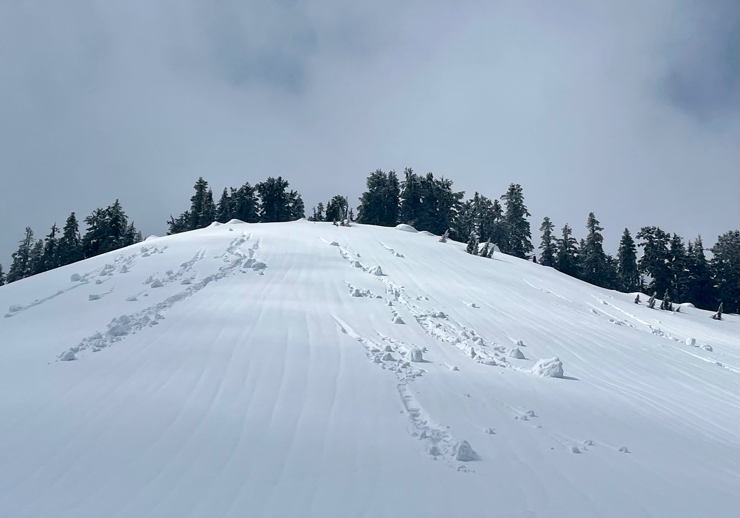
New snow layers increased from 5-20cm from 3500ft to 5500ft. These layers sat over a breakable crust. Snow surfaces were generally heavy and depending on aspect and elevation, became a little more moist and heavier lower down and facing the sun. Nonetheless, there was only a small amount of wet loose activity during the day.
Weather
- Cloud Cover
- overcast
- Wind Loading
- light
- Rain Elevation
- 2500
- Recent Snowfall
- 15
- Snow Avail For Transport
- moderate amounts
Primarily overcast with obscured patches at mid and upper elevations in the morning. Skies began clearing mid-afternoon. Light to moderate wind at upper elevations.
Snowpack
There was around 5cm of new snow over a soft, breakable crust from about 3500ft. Old snow was just becoming consistent at about that elevation. By 5000ft there was closer to 10cm, and there was almost 20cm of new snow at 5600ft.
Only shady upper elevation aspects had dry snow that was only slightly heavy. Elsewhere, surface layers were moist and heavier.
Beneath the new snow layer there was a soft, breakable crust at the old snow surface, that wasn't boot supportable. Moist, soft grains were present beneath that. At 5600ft the old AR layer was surprisingly well frozen, mostly consisting of pencil hard refrozen melt forms, but even a couple hundred feet lower, all the melt form layers were soft and moist.
Avalanche
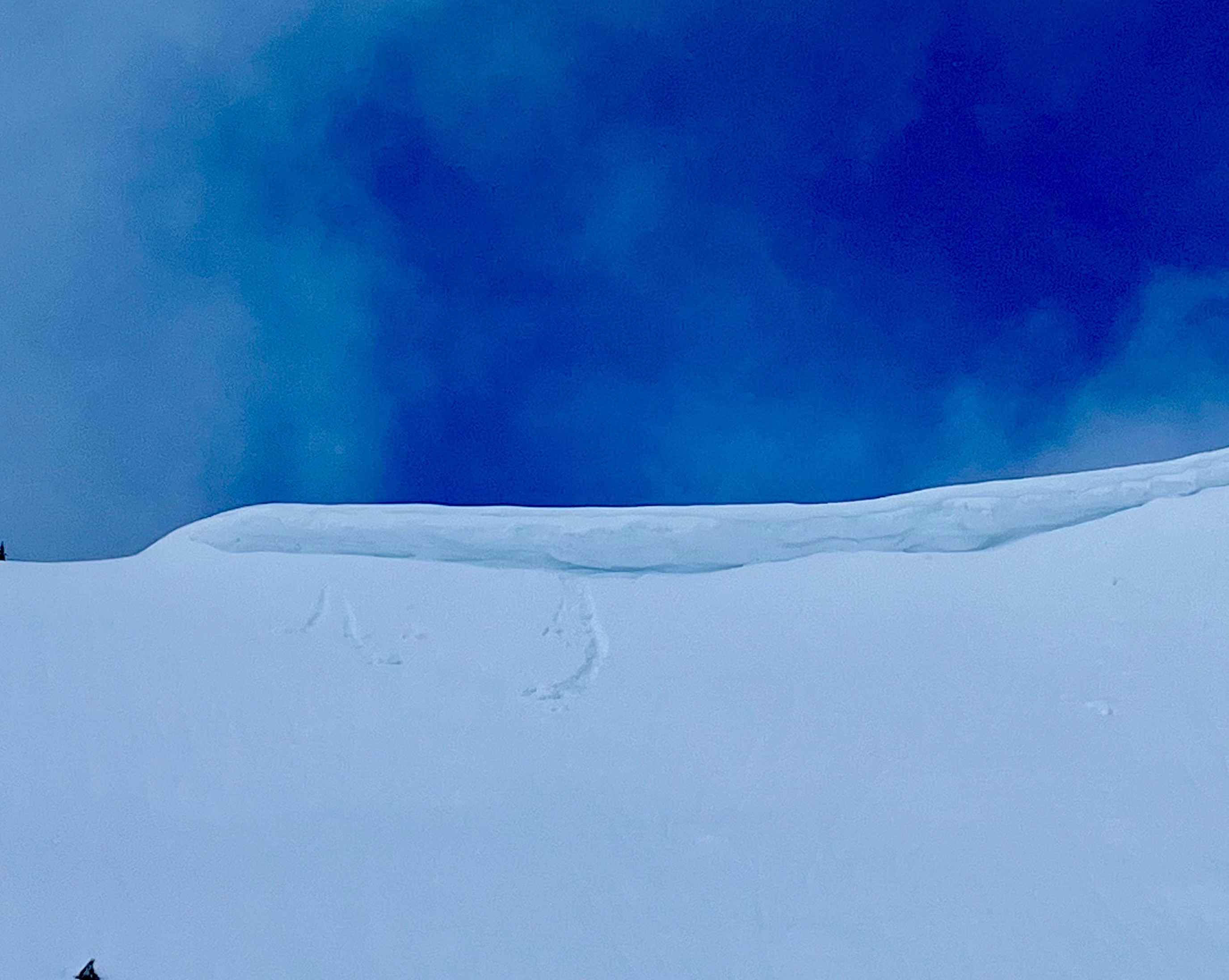
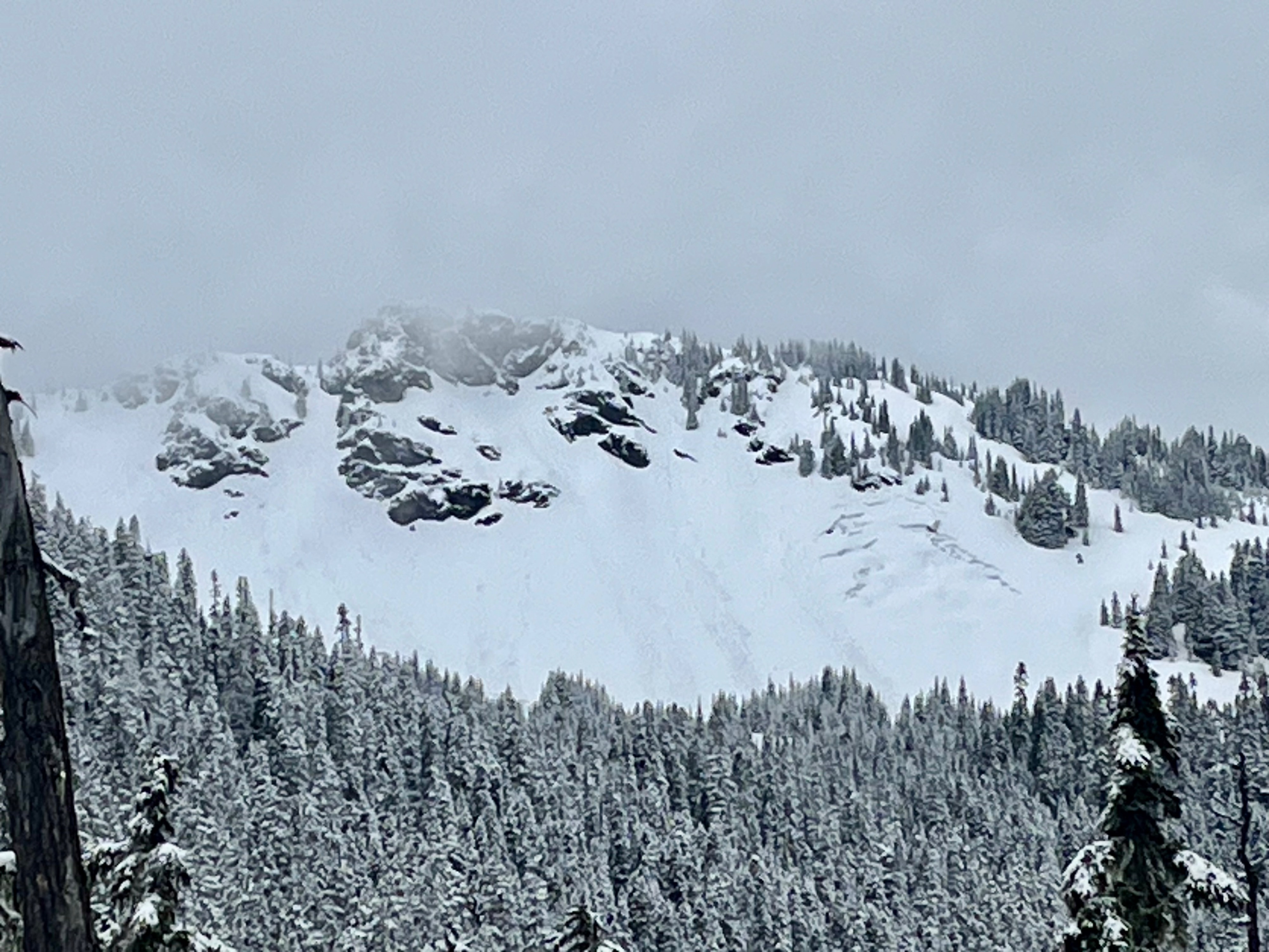
Distant small wet loose avalanches were seen on south-facing aspects. Nearby, small snow chunks fell off cornices and as tree bombs, but didn't result in wet avalanches.