
Quick report
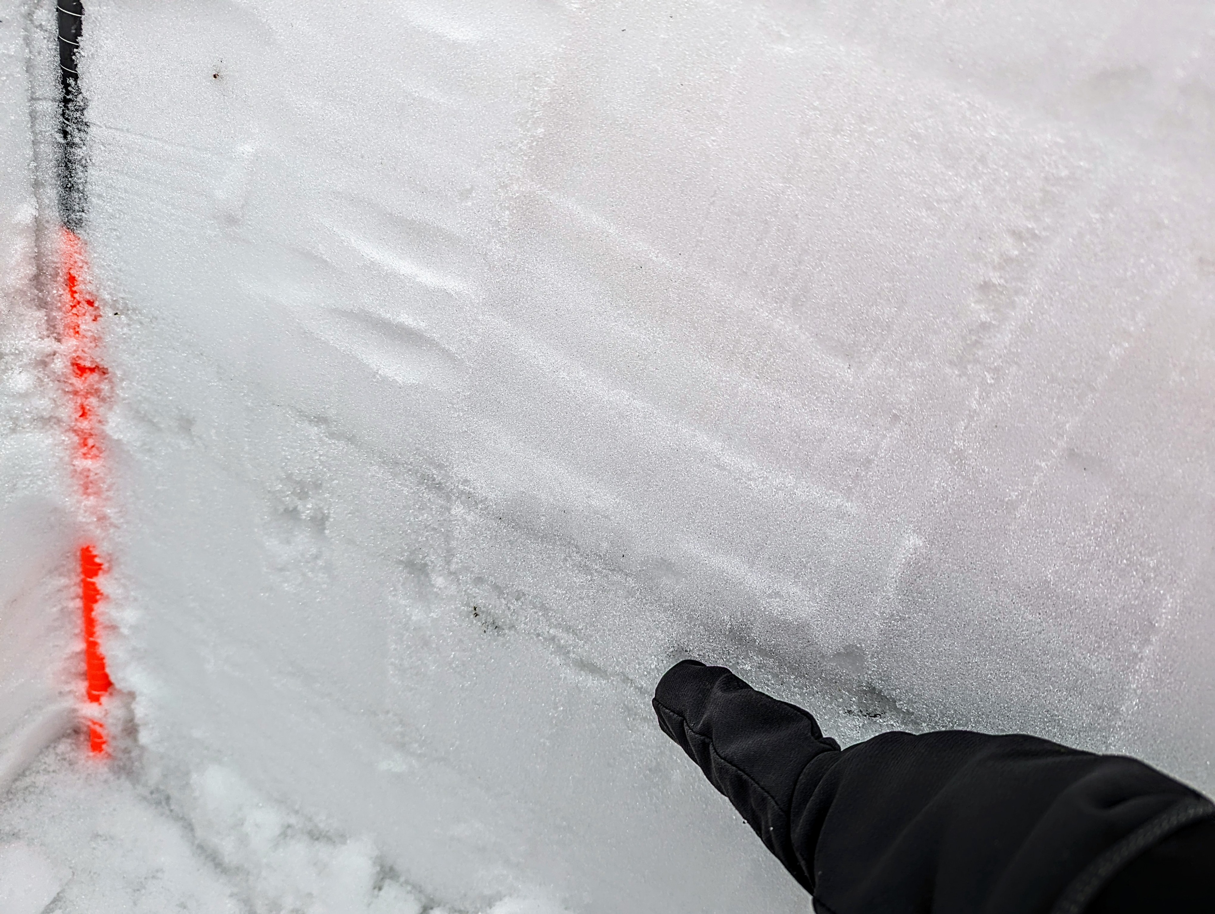
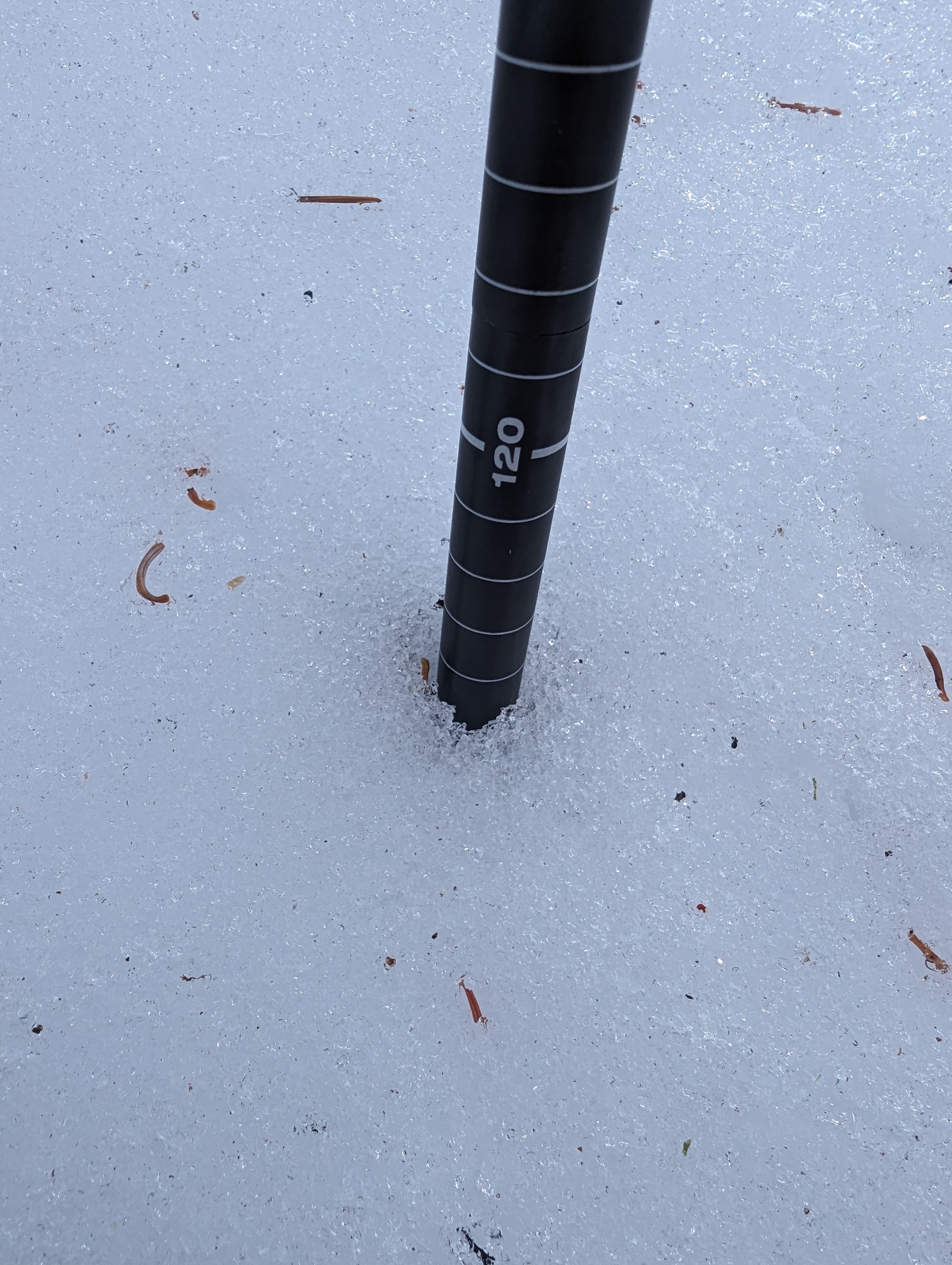
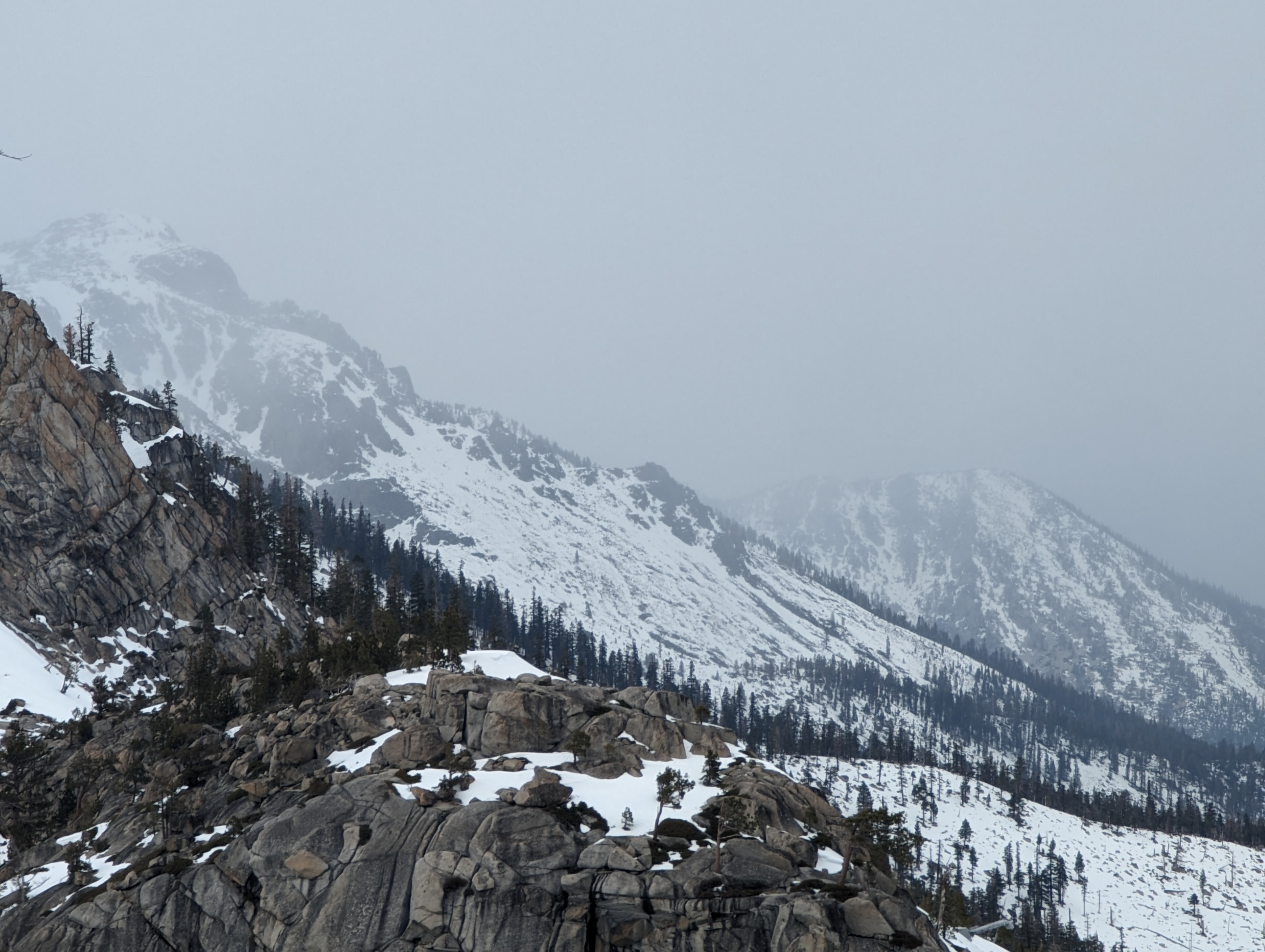
With a storm approaching, I thought I'd go to the Echo Summit area to see pre-storm conditions since we haven't received many observations from there recently. Due to shallow snow with wet crusts on N aspects, I had no intentions of descending to Echo Lake today, but it might be "in play" with the new snow forecast. I dug to the ground in two locations along the Becker Ridge, and in both places I found a moist-to-wet snowpack, including the Jan 2nd and Dec 19th layers. Neither of these presented as facets, and at these two locations they were layers of melt forms that didn't separate into individual grains. Overall the snowpack was more conducive to travel than I expected, with over 100cm of dense snow on N aspects and much less but still enough for travel on the few open S aspects along the ridge.
Weather
- Cloud Cover
- overcast
- Snow Avail For Transport
- none
Very windy, with light snowfall beginning around 2pm
Snowpack
Moist/wet to the ground. Jan 2nd and Dec 19th layers were no longer faceted - instead they were wet melt forms with water visible to the naked eye