
Quick report
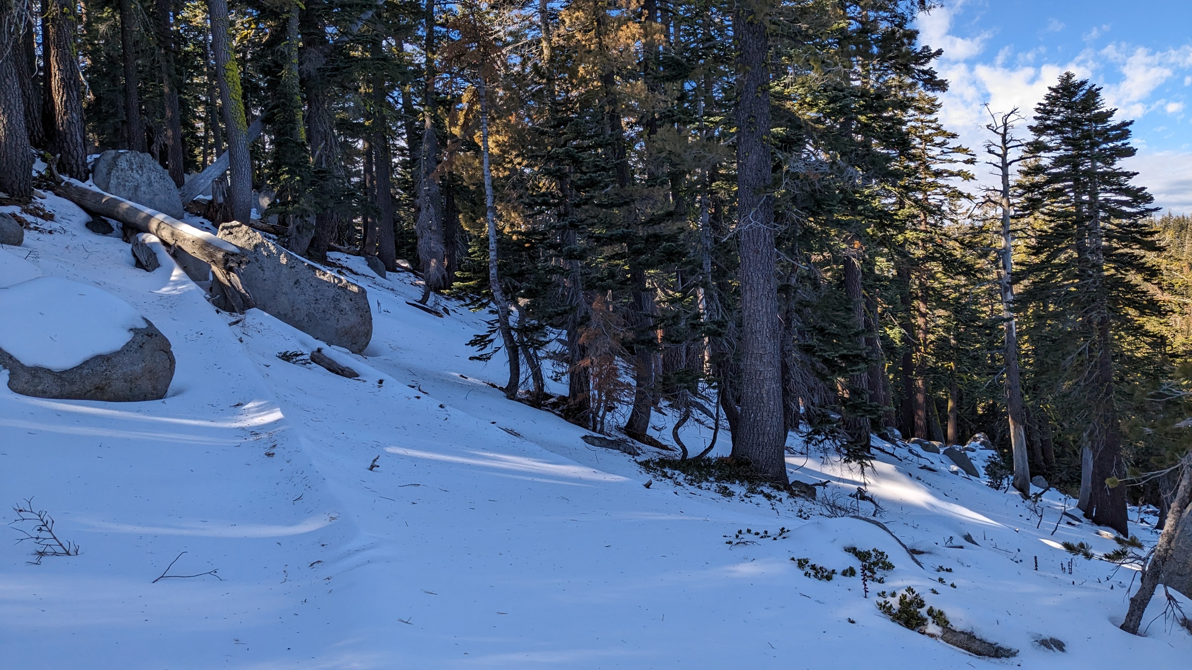
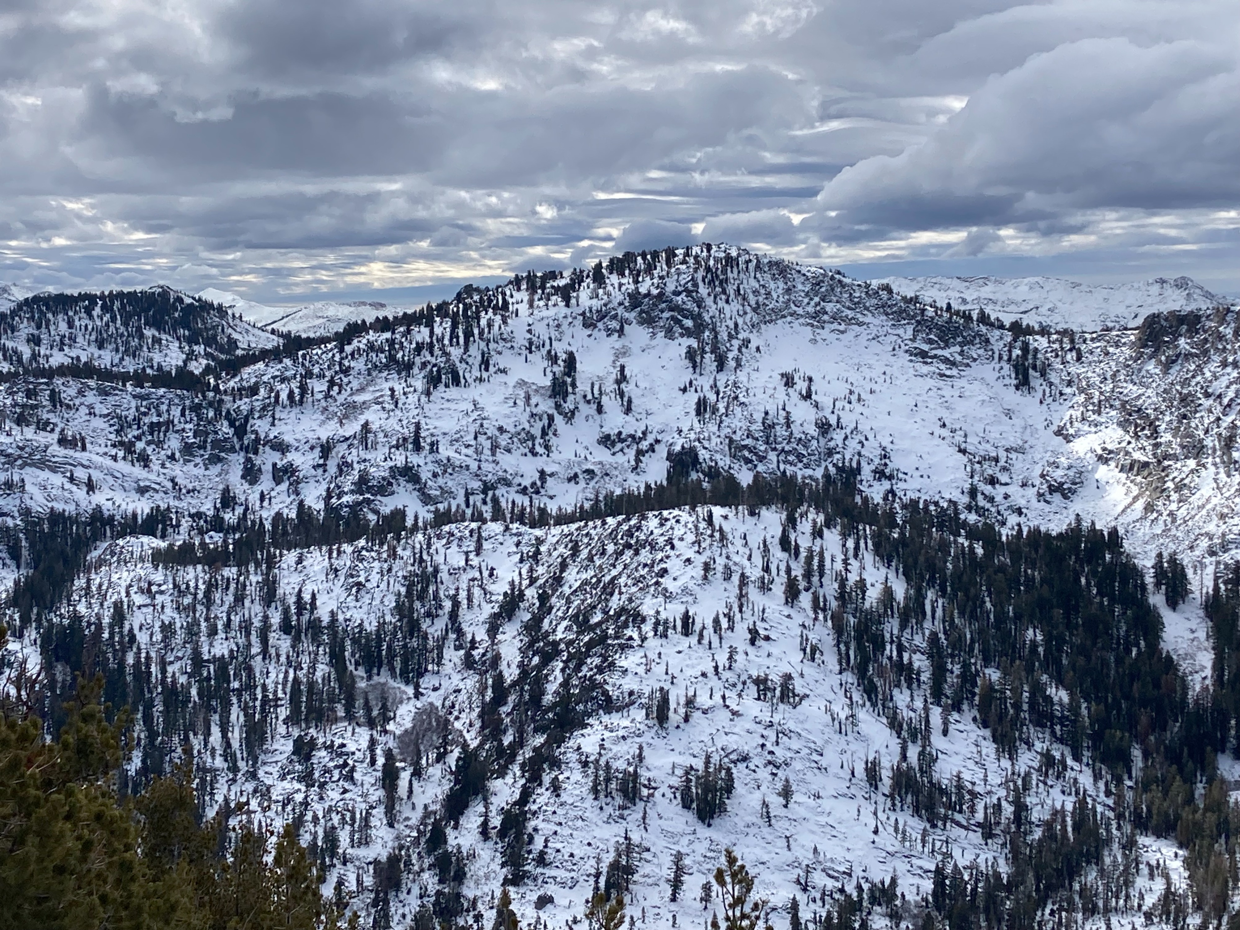
We hiked the north slopes of Rubicon Peak today. As expected, the snowpack variation from one location to another within the forecast area, especially at mid elevations was present. The surface rain crust we observed yesterday on Mt. Judah (Donner Summit area) was not present today in the West Shore area at similar elevations.
A weak faceted snowpack became increasingly deeper and weaker as we ascended. The snowpack in this area from about 8,000' on up to the summit is in poor condition to handle new snow loading and conducive to a persistent slab avalanche problem.
Weather
- Air Temp
- 35
- Cloud Cover
- broken
- Wind Loading
- light
- Recent Snowfall
- 0
- Snow Avail For Transport
- moderate amounts
Increasing cloud cover precipitation began around 1 pm.
Snowpack
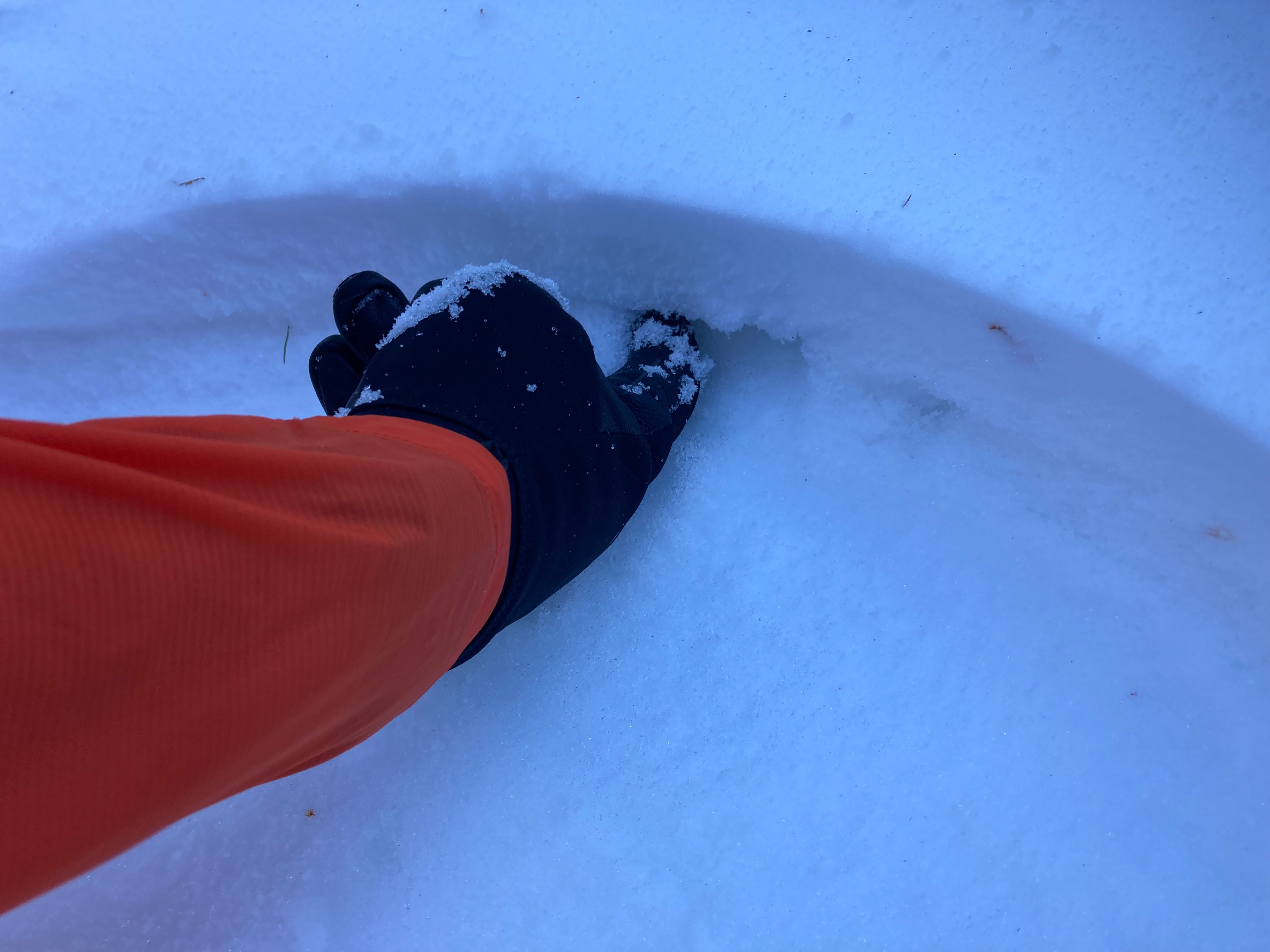
On northerly aspect, continuous snow cover began around 7,700'. At 8,000', there was a 1 cm thick, easy to miss facet layer on top of the upper most rain crust with a couple inches of new snow on top of it. As we ascended above 8,500', rain crusts in the snowpack dissipated. At 8,800' the snowpack was mostly faceted and snow and depth hoar. PST test results were repeatable and indicated likely propagation along the top of the depth hoar layer.