
Quick report
This was a short late-afternoon walk to look at the snow in this area and get a sense for how the incoming storm was behaving. Warm temperatures over the past 36 hours had melted the upper snow, leaving a wet and gooey mess. Fortunately, travel was fairly straightforward thanks to how many times the snow we traveled through had been rained on.
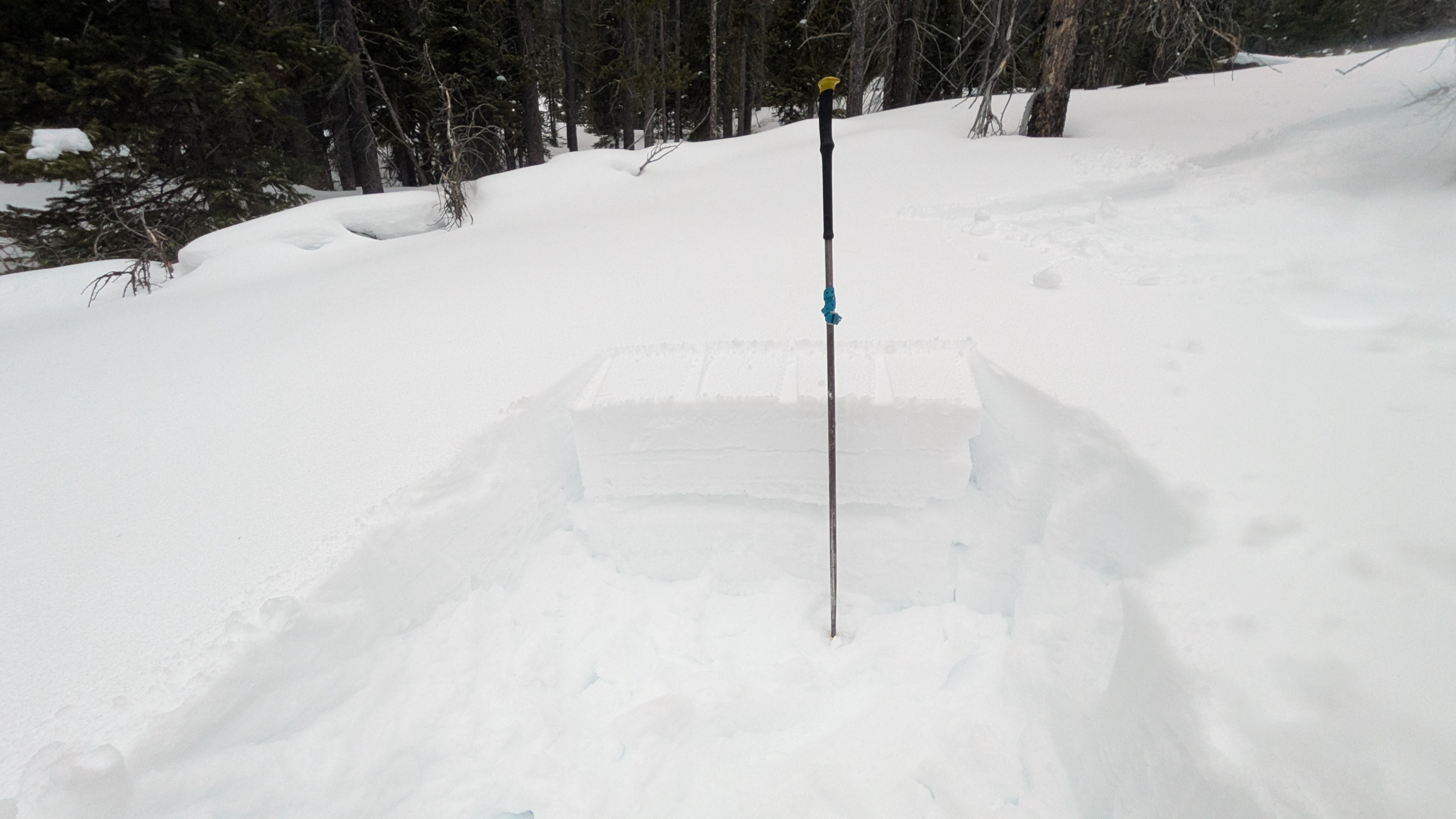
We dug in a few places on shaded slopes at middle and upper elevations. Both the January drought layer (down about 1 foot) and the Valentine's day layer (down about 6-8") were present and obvious, but the slab overlying these layers was generally thin and soft. We did not see much of a surface hoar issue at these interfaces, though there were some small flakes visible in places. We did not have any unstable snowpack test results, but we did not expect to see them given how thin the slab was. The main persistent slab problem where we looked (which wasn't much of an issue today but will be with additional loading) was the January drought surface. We found a variably thick crust or set of crusts at this interface, with small facets above and much larger, better-developed facets underneath. We comfortably traveled through some avalanche terrain that lacked a slab over these layers, but our travel would have been much more cautious if a slab had been present. I'll be much more concerned with these layers once we either build a more significant slab on top (which looks like it will happen over the next few days), or when it gets warm and wet and this snow becomes saturated.
No obvious signs of instability encountered.Weather
- Cloud Cover
- overcast
Overcast skies, gusty southwesterly winds. Light precipitation off and on in the late afternoon/early evening. It drizzled some rain as high as 6,500', but the rain line was coming down by sunset. On the drive back to town, precipitation intensity increased significantly.