
Weather
- Air Temp
- 32
- Cloud Cover
- broken
- Wind Loading
- none
- Snow Avail For Transport
- small smounts
Partly cloudy with calm winds while I was out.
Snowpack
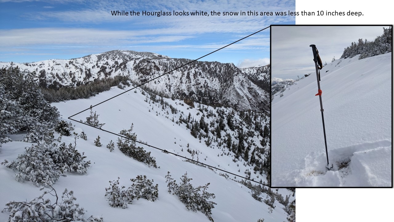
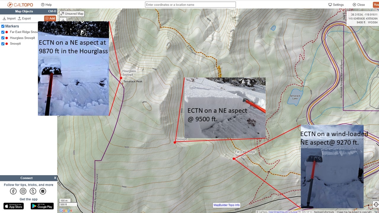
2-3 inches of new snow existed above 9000 ft in on Tamarack Peak. This snow had a layer of graupel at its base. This fresh snow mostly landed on bare ground on the E-SE-S-SW-W aspects. On the northerly aspects where snow existed before this storm, the new snow fell on old snow. The snowpack mostly remains less than 10 inches deep in these areas except for a few spots where wind-blown snow accumulated near some of the ridges. The snowpack measured up to 18 inches in isolated wind drifts. This old snow consisted of a layer of more dense snow on top of about 4 inches of weak, sugary snow (facets). The weak snow remained cold, loose, and sugary above about 9300 ft. Below 9300 ft, it had warmed up enough for that weak snow to start clumping together. Snowpit tests at several different spots along the east ridge of Tamarack Peak indicated that the old snow remained weak, especially at the higher elevations, but that it did not have much of a slab layer above it.
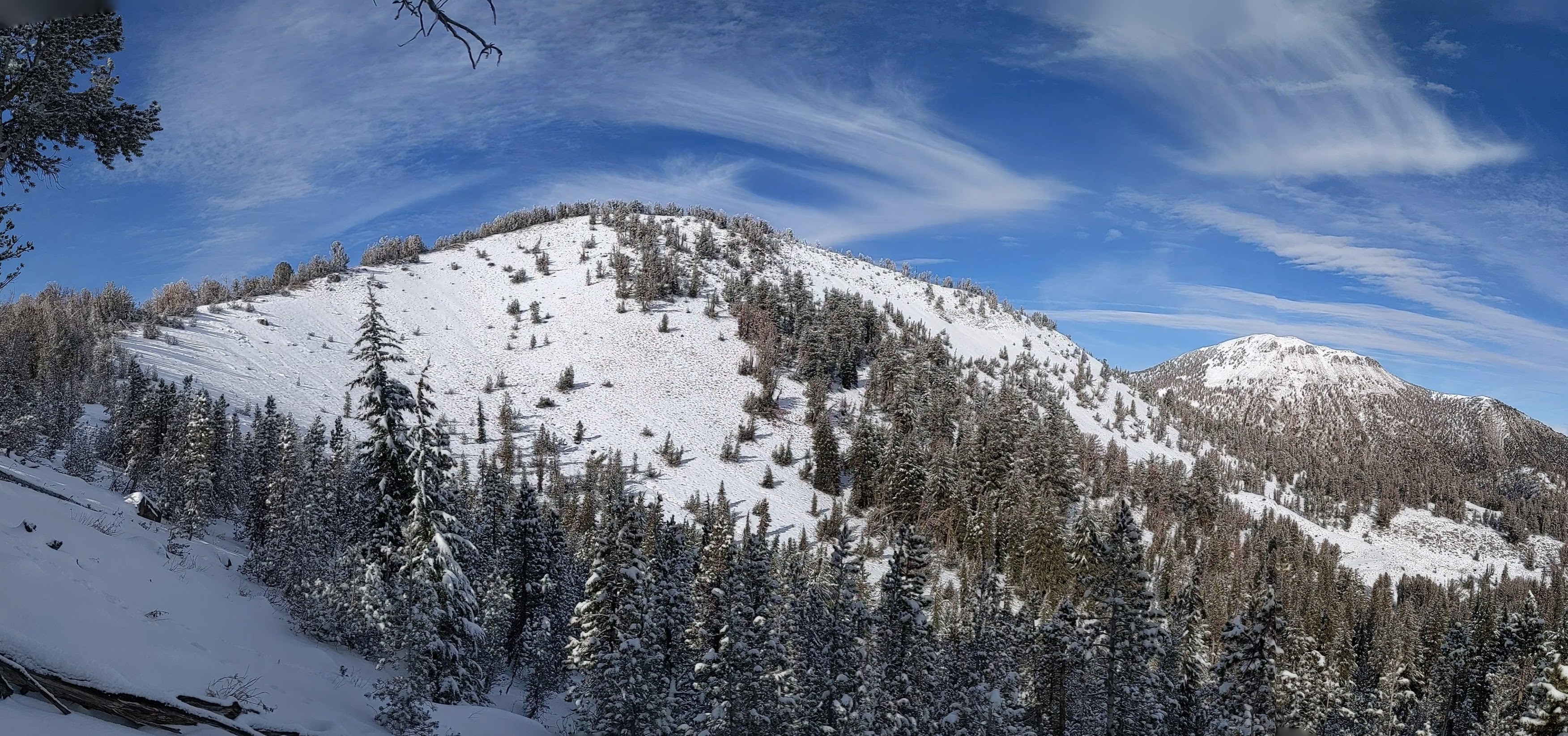
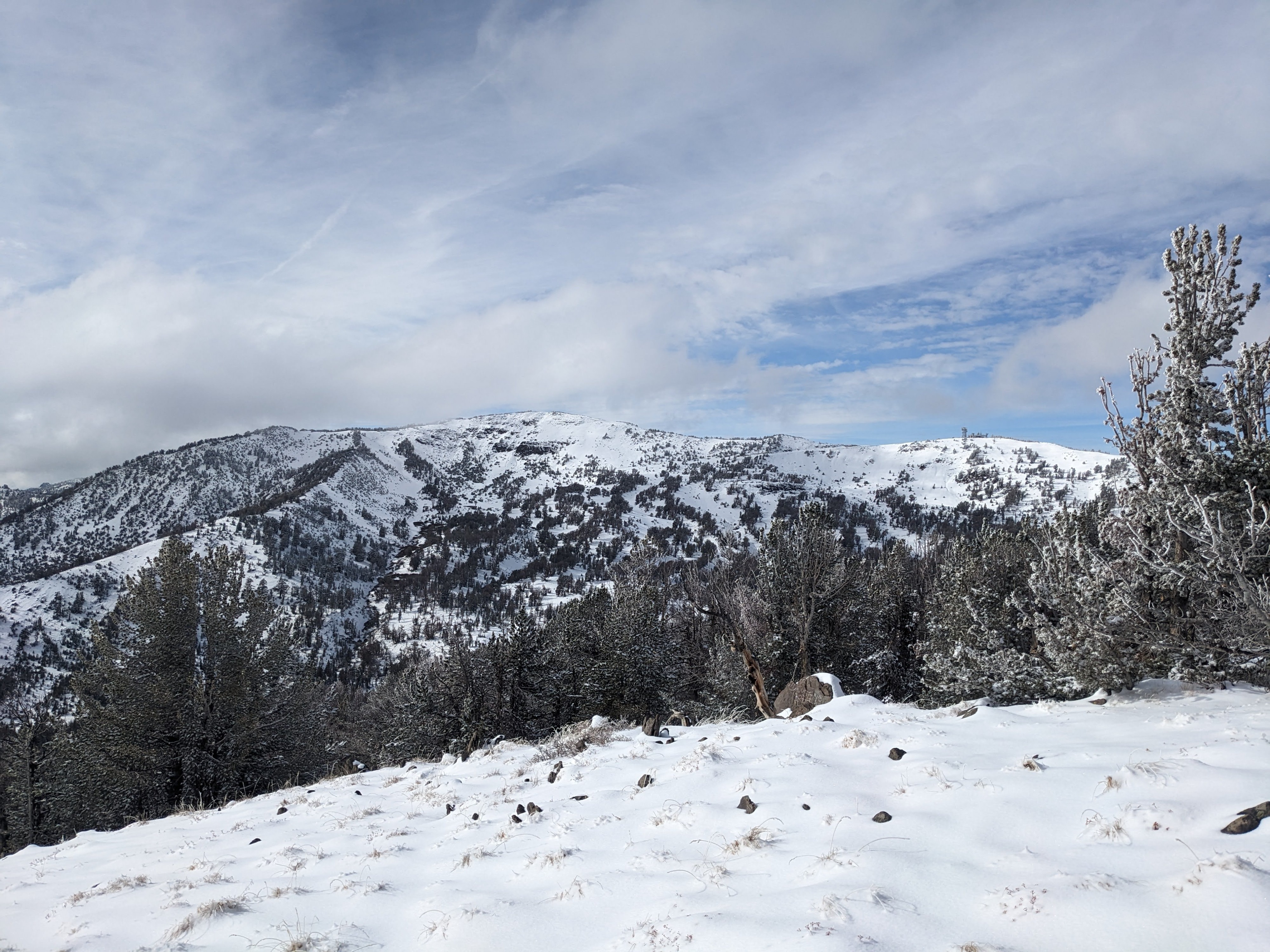
The fresh snow made the area look more covered than it was, and numerous rocks, bushes, trees, and other obstacles still poked up through the thin snowpack or lurked just below the surface.