
Quick report
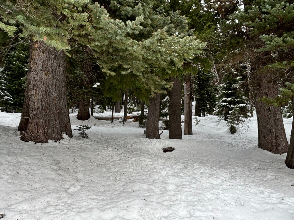
There's a stark difference between 5000 ft and 6000 ft on the south side of Mt. Hood currently. Below 5000 ft, the snowpack is roughly 1-2 ft deep and is in rough shape from our recent warm-up on Friday, 11/22. You'll encounter plenty of open creeks and shallowly buried hazards at these lower and mid-elevations. As you climb above 6000 ft, the snowpack grows significantly deeper (5-6 ft) and more layered. Unfortunately, we did find the recent 11/24 rain crust extending to our high point at 6600 ft. This recent crust is unsupportable on both skis and foot, so travel remains variable despite the 3-4 inches of new snow that fell through the day.
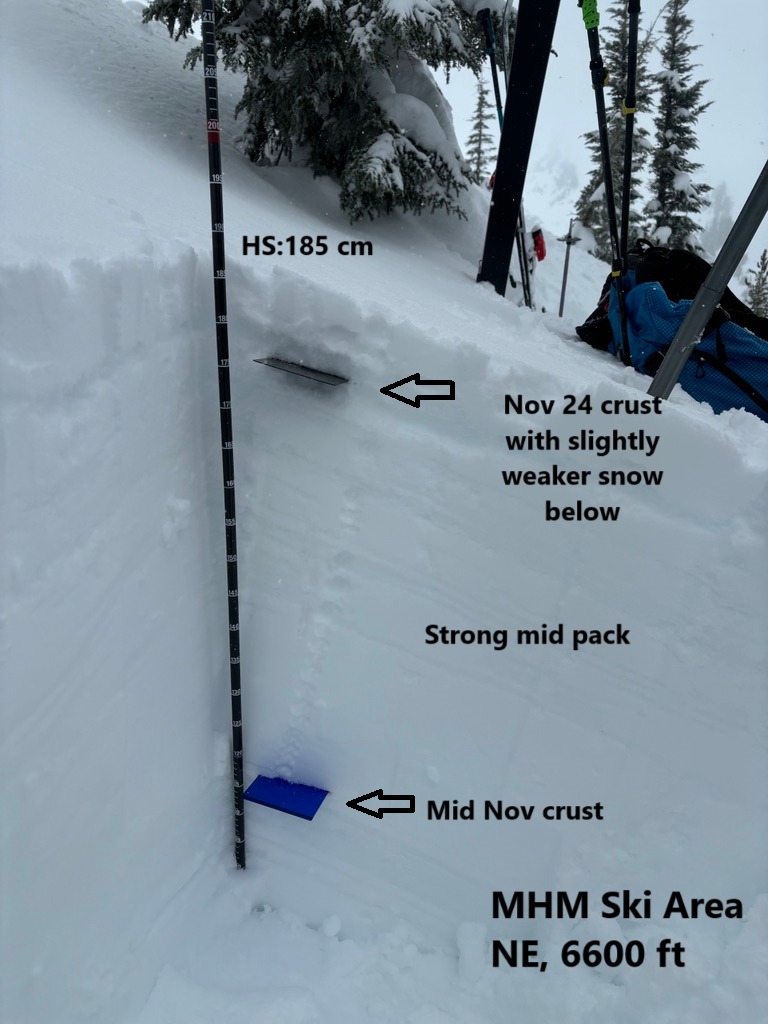
In general, we found a strong mid and lower snowpack structure. However, the recent 11/24 rain crust will be worth keeping tabs on as it produced planar test results and harbored slightly weaker snow beneath it. While this interface isn't problematic on most slopes at the moment, it could be a crust that future avalanches fail on once we build more of a slab on it.
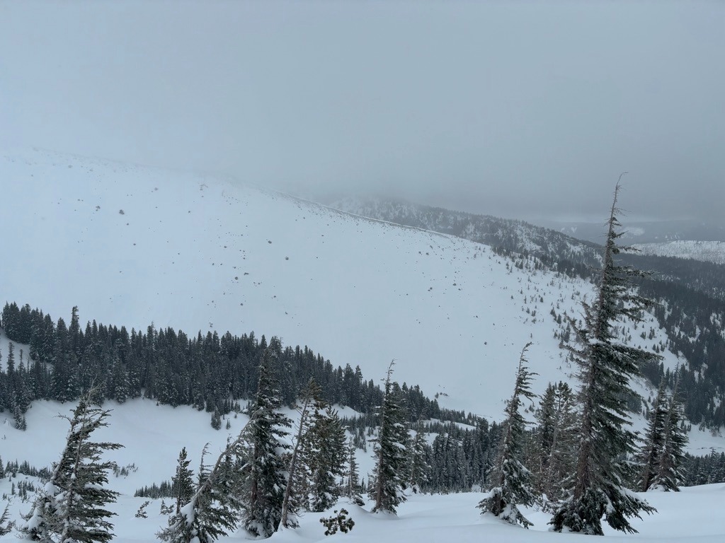
No obvious signs of instability as we traveled through the terrain.Weather
- Air Temp
- 23-26 F
- Cloud Cover
- obscured
- Wind Loading
- light
- Rain Elevation
- 6600
- Recent Snowfall
- 10-12 cm
- Snow Avail For Transport
- small smounts
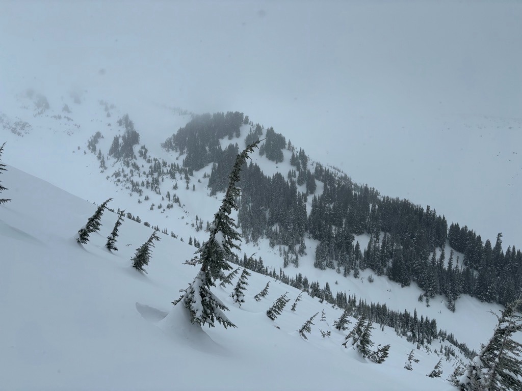
Visibility was quite poor above 6000 ft today. On and off snow showers varied in intensity and delivered 3-4 inches by the afternoon hours. Some short-lived sun breaks occurred after 2 PM.
Snowpack
After Friday's warm-up on 11/22, we found a recent rain crust ( 2-3 cm thick) that extends to the top of Shooting Star at 6500 ft. We didn't travel above this elevation but suspect it exists through at least 7000 ft on this side of the mountain. This crust is unsupportable on both skis and foot, so travel is still quite variable and breakable despite the 3-4 inches of new snow that fell through the day.
In a test profile on a NE aspect at 6300 ft near the top of Pluto Bowl, we found a HS of 185 cm. We found a strong, right-side-up structure above the mid-november crusts/wet grains. However, the most recent 11/24 rain crust is already harboring slightly weaker snow just beneath it that produced planar results with shovel tilt tests. While this crust isn't too problematic at the moment, it will be a crust to keep eye on as we build more of a slab on it in the coming days. It could be more problematic on slopes with direct wind loading.
Overall travel remains variable below 7000 ft due to the recent warm up. Plenty of early hazards such as open creeks, downed trees, and rocks linger despite the fat November snowpack.