
Quick report
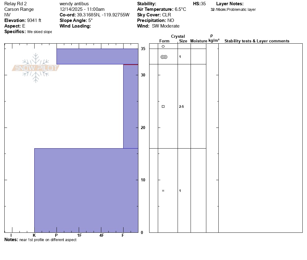
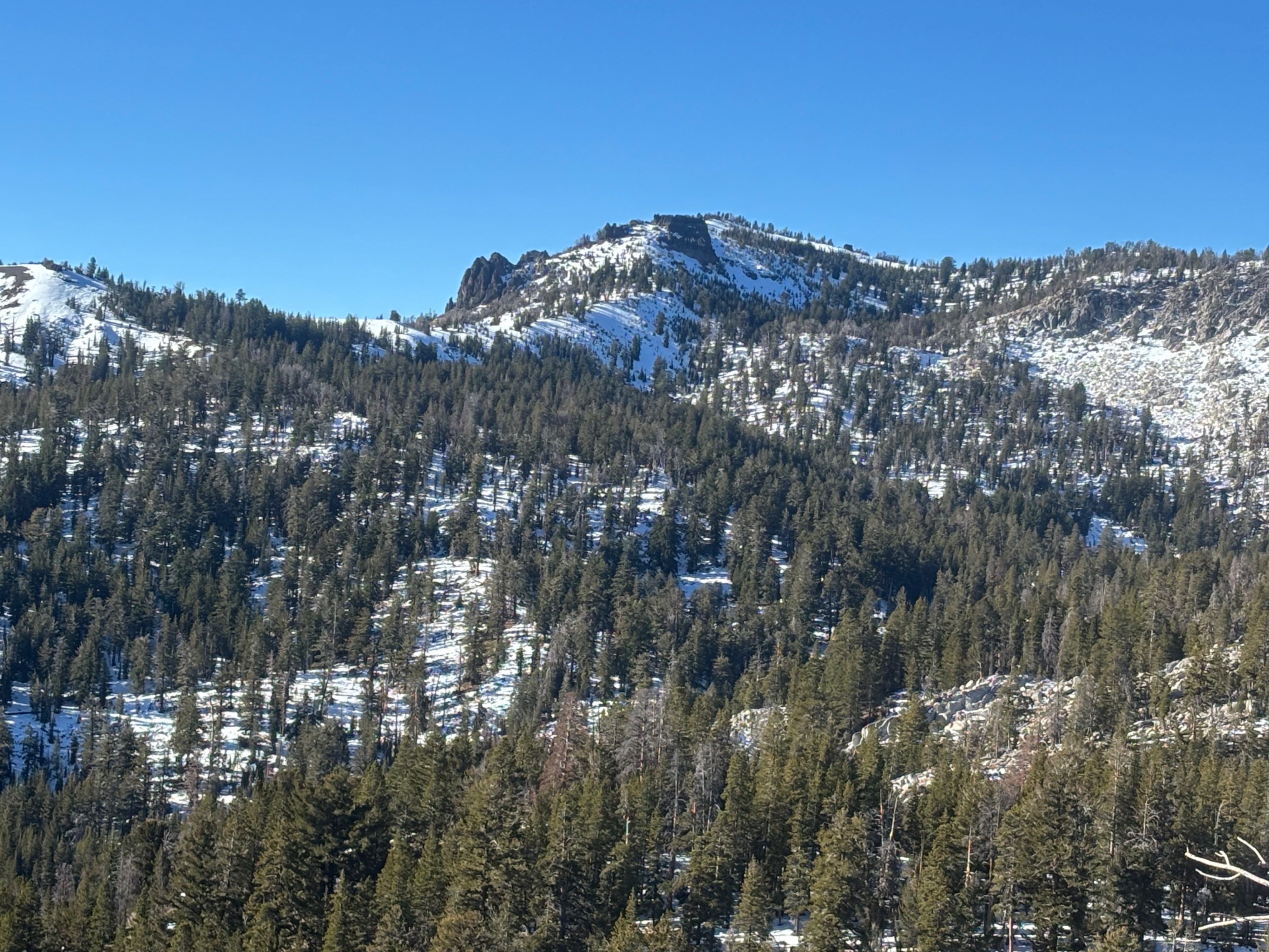
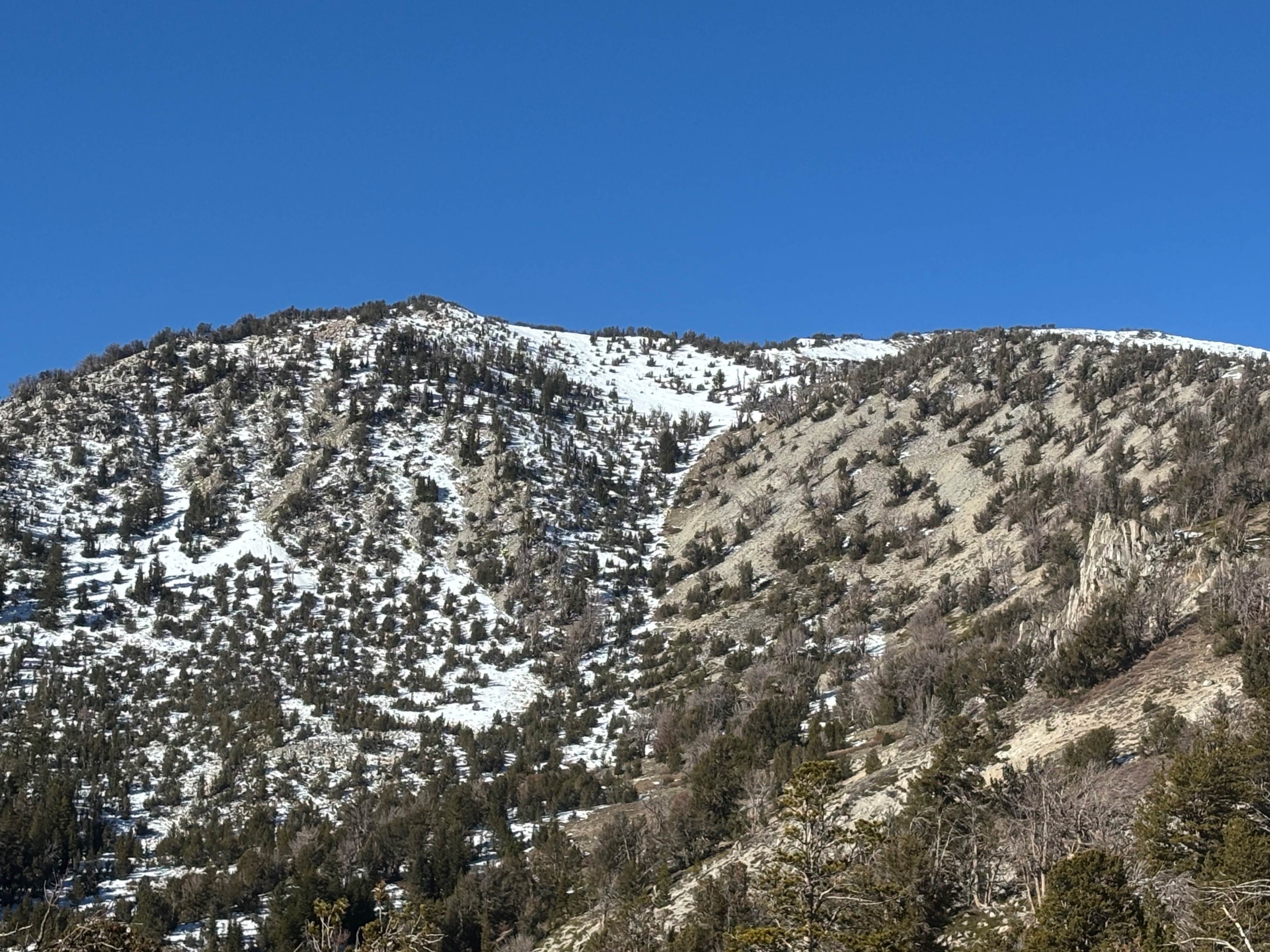
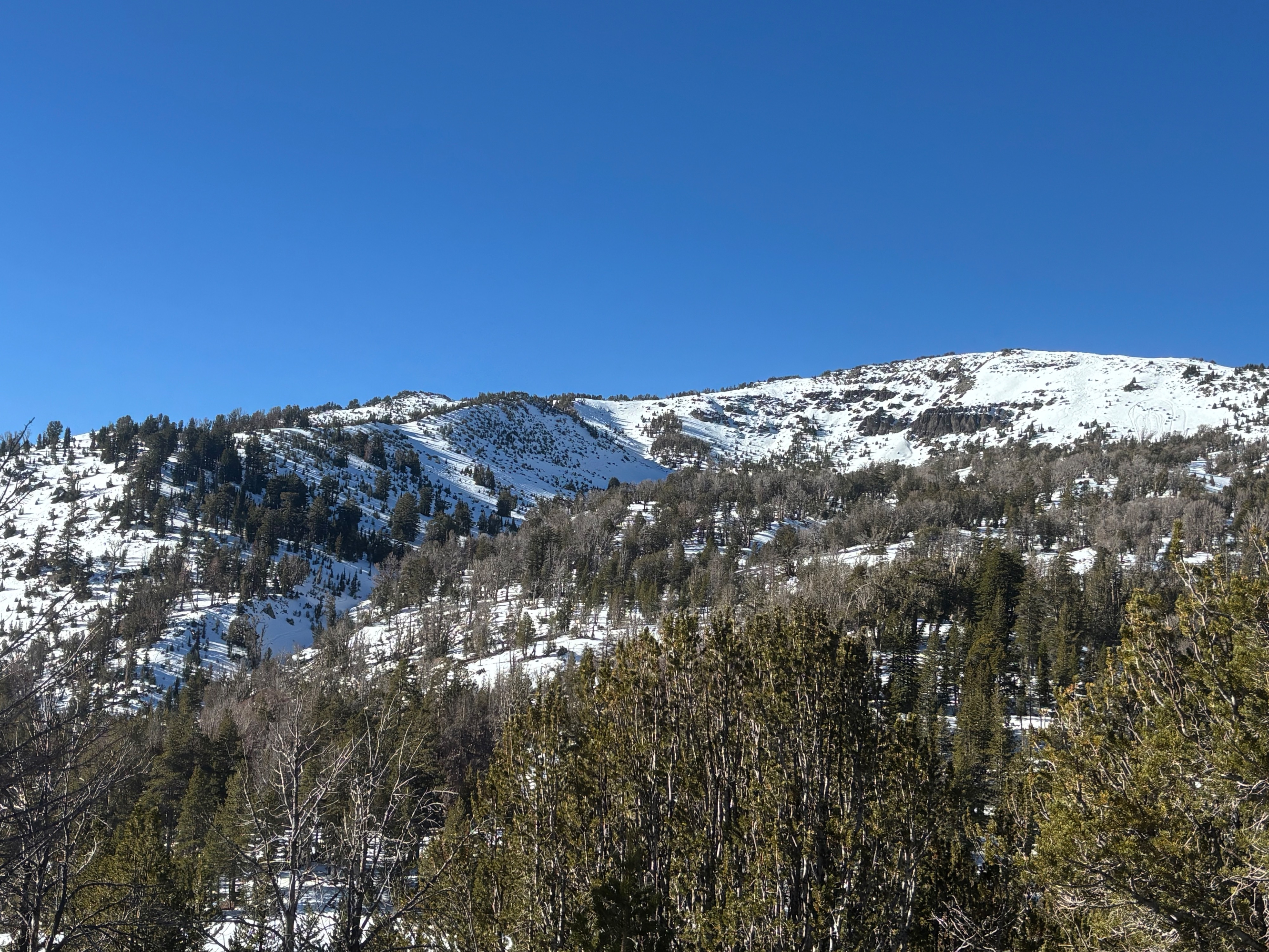
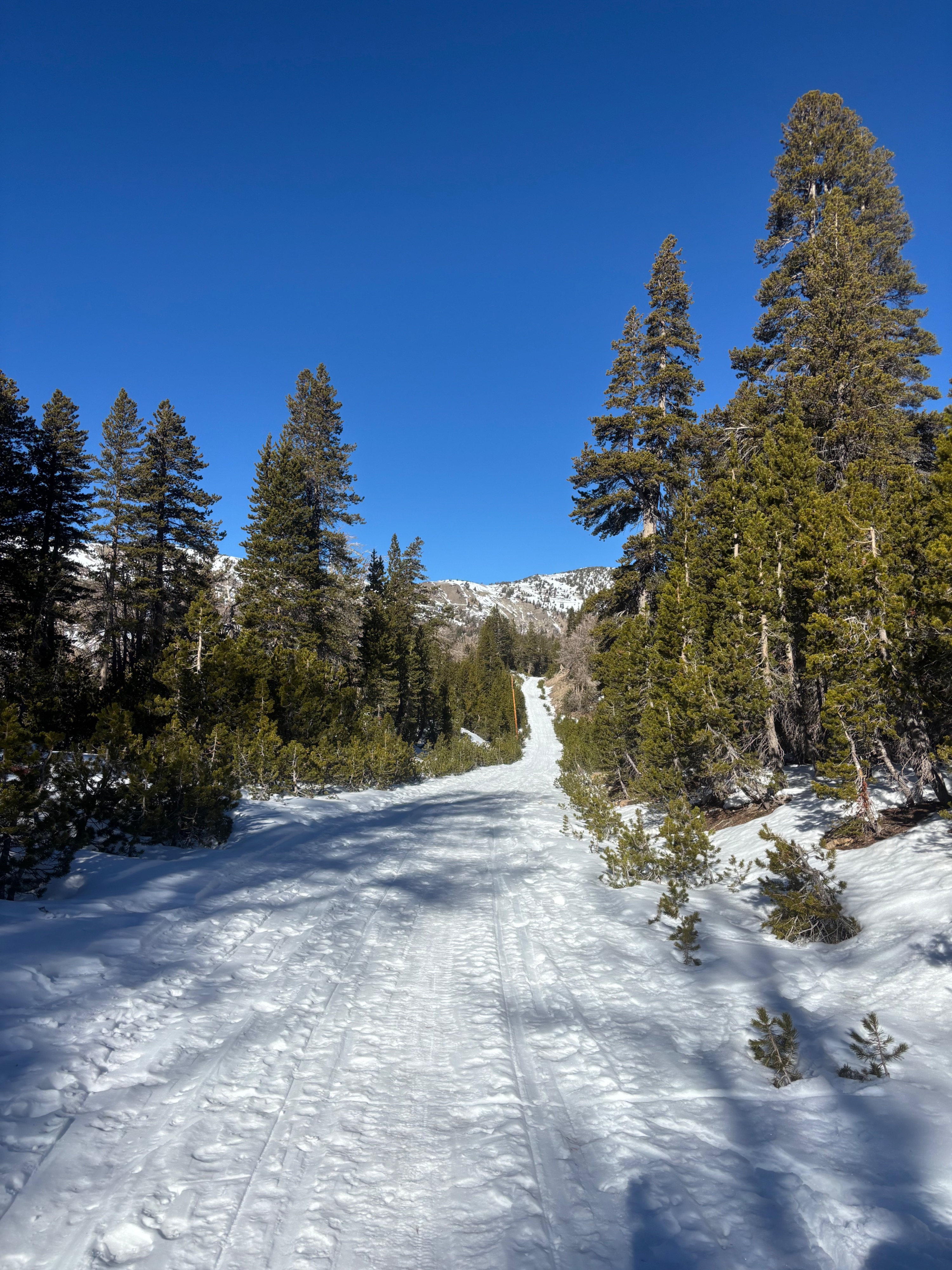
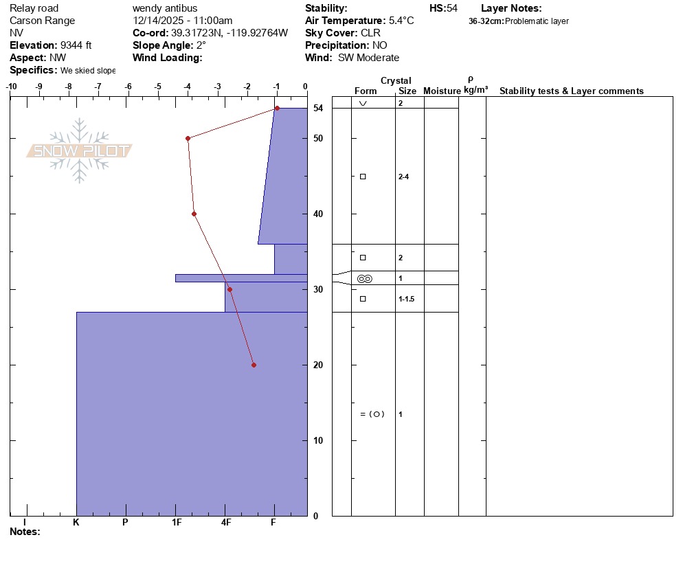
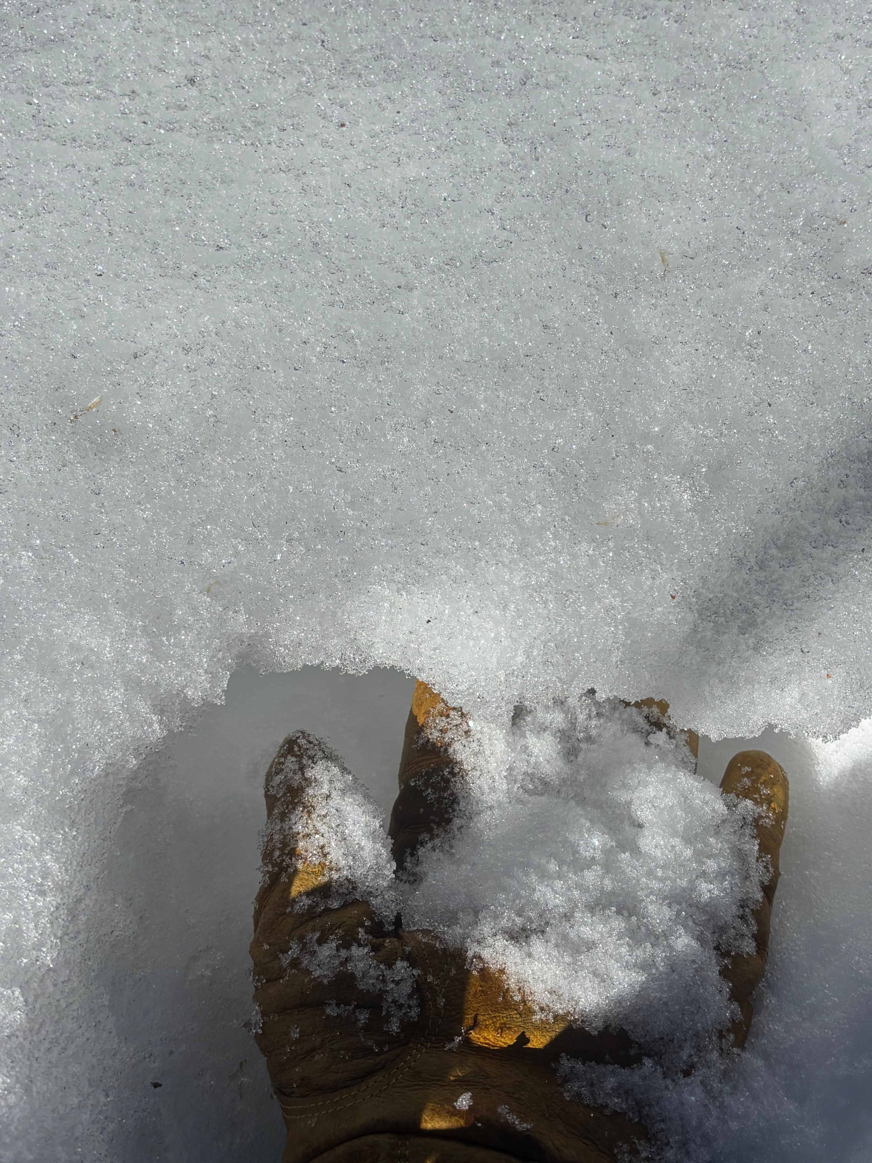
Toured up Relay Peak Rd to look at snow coverage ahead of this week's incoming weather. There is just barely enough coverage to travel on skis in this area above 9K feet, particularly in N aspects and low angle terrain. Moderate SW winds at upper elevations made the morning feel chilly despite above freezing temperatures. I dug 2 profiles at 9340' on a NW aspect and an E aspect on opposite sides of a small ridge. On northerly aspects, I found the expected snowpack structure of 30-40 cms of F hard facets on top of a 20-30 cms of firm rain crusts. E and W aspects had a surface melt freeze crust of varying supportability on top of a 15-20 cm layer of faceted snow. Stepping off the road, I was surprised by how much variability there was in the snow surface, snow depth, and snowpack structure with just small changes in aspect. A month of dry weather and low sun angles have transformed the snowpack quite dramatically. Even minor changes in terrain, slope angle, micro-aspects, and shading from trees and terrain features created abrupt transitions from soft faceted snow to melt-freeze surfaces of varying supportability. It was slightly challenging to ski, but will be more challenging to anticipate how different areas of the snowpack will react as we transition back into active weather.
Weather
- Cloud Cover
- clear
Clear skies. Above freezing temps with ongoing temperature inversion. SW winds increasing midday on ridgetops.