
Quick report
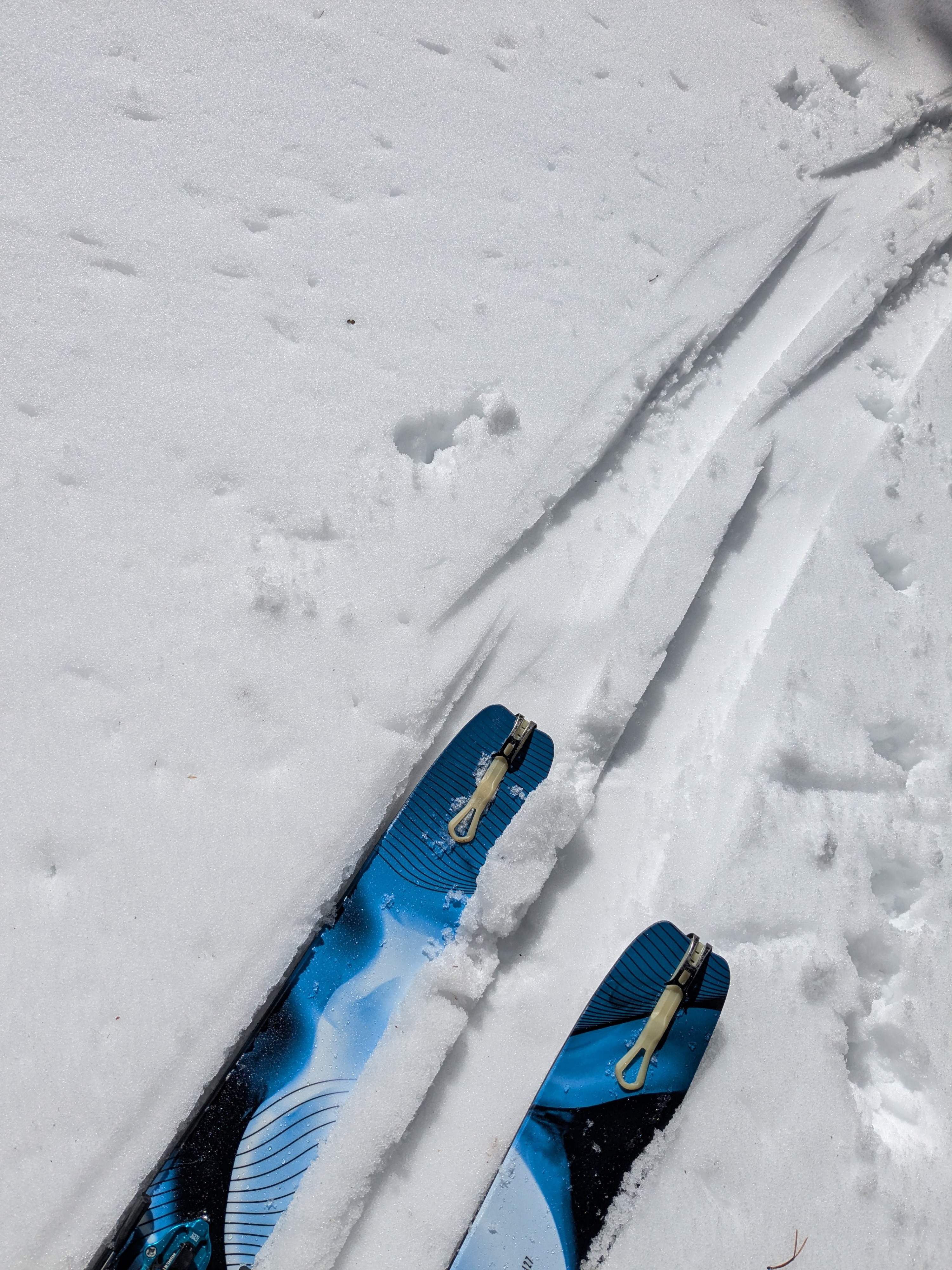
We toured the East Ridge of Relay Peak today, up to where it connects to the summit ridge at 10,100'. On our morning arrival to Tahoe Meadow, the remains of a 1/2 to 1 inch thick rain/melt freeze crust from last night was on the snow surface. By 10:30 am, this crust was melting quickly and, in some areas, fully melted. We noted the presence of rain crust on all aspects up to around 9,000'. Above 9,000' we noted melt-freeze across ENE-E-SE-S aspect terrain and cold snow, unaffected by melt on N aspect terrain.
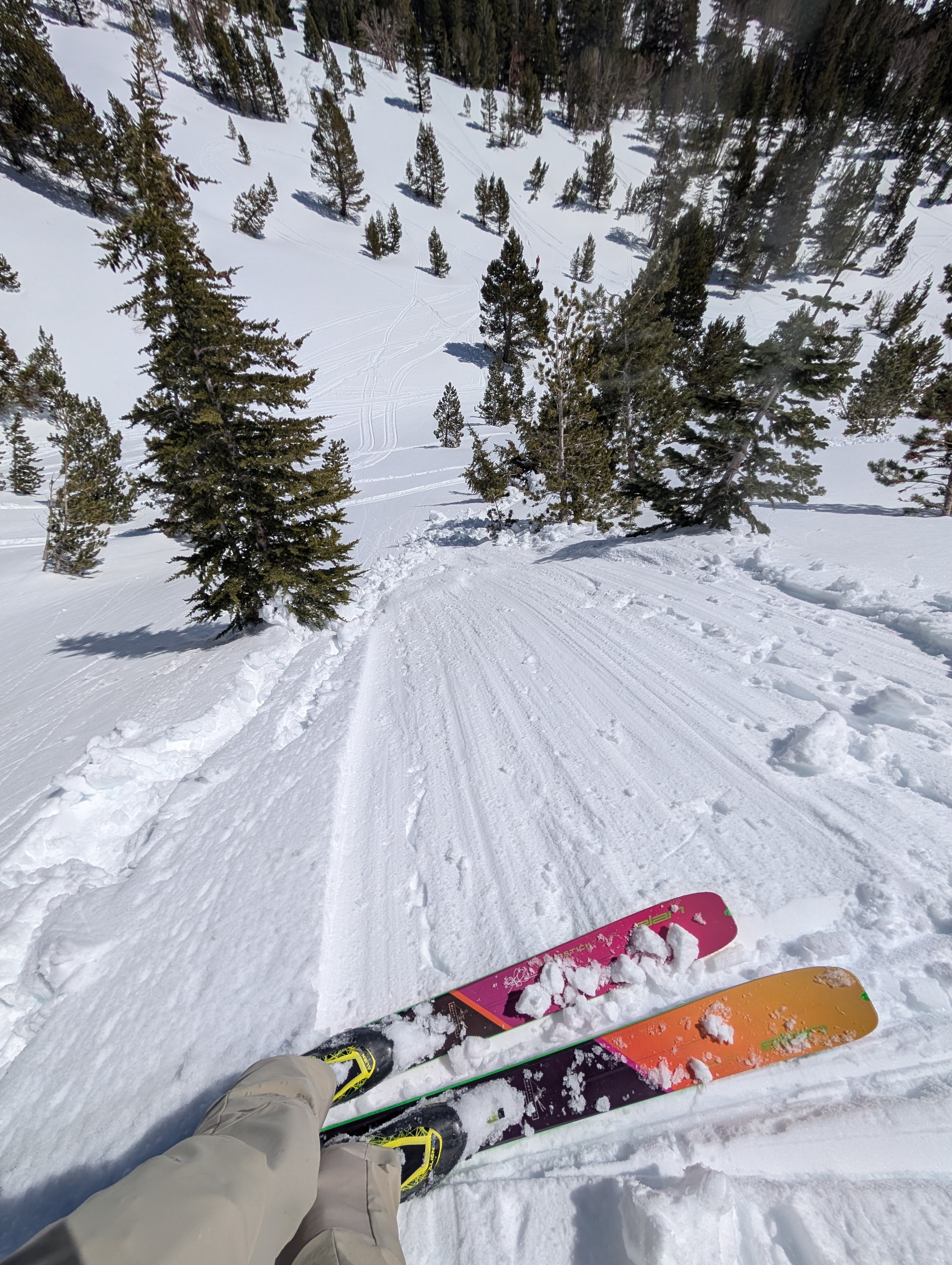
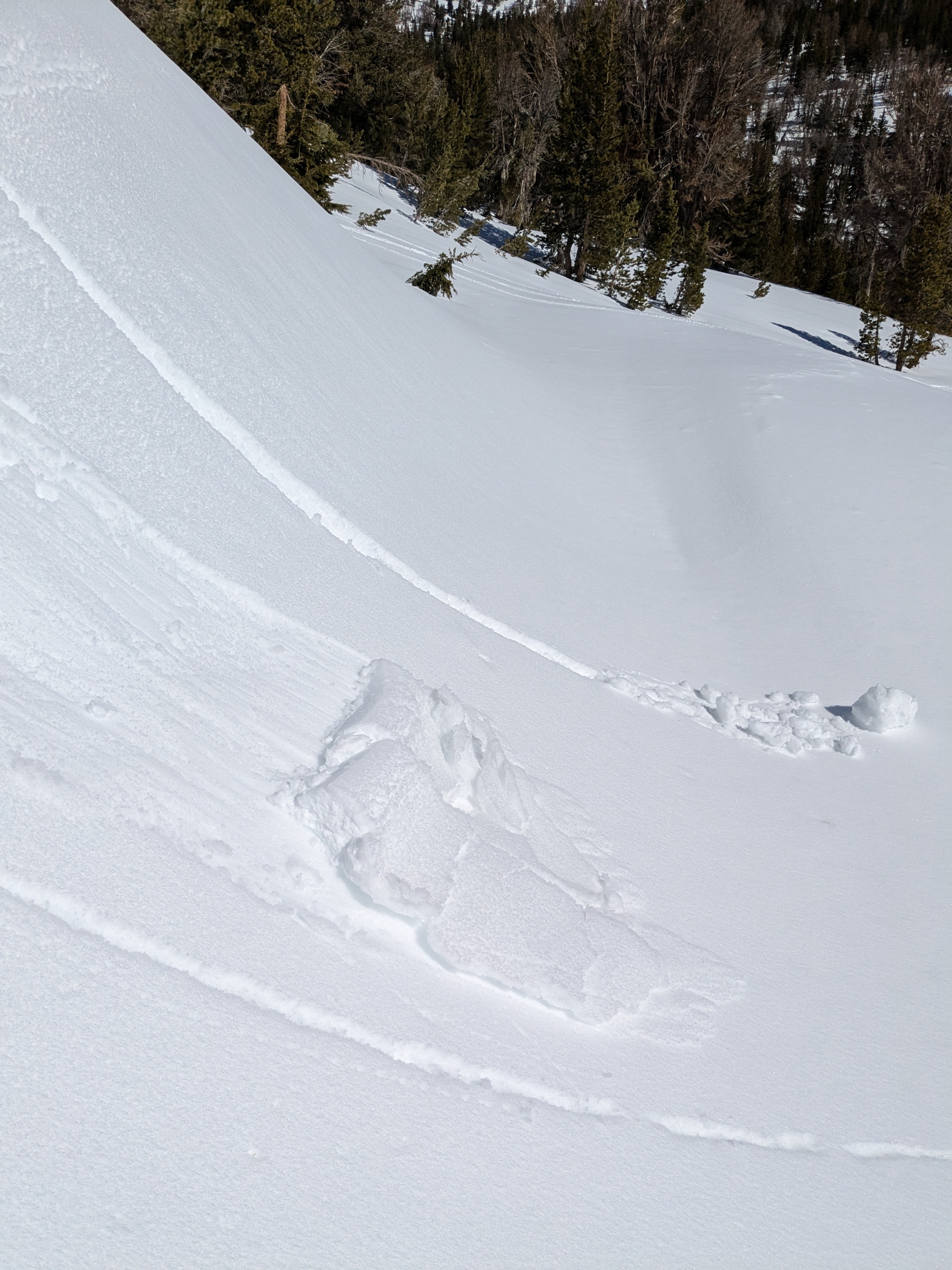
Descending from the ridgetop at 12:15 pm, it was very easy to trigger size D1 wet loose avalanches and large pinwheels anyplace you put a ski cut in steeper terrain across ENE-E-SE-S aspect terrain at and below 10,000'. Surface conditions were wet recent storm snow, not corn.
Intentionally triggered numerous size D1 wet loose.Weather
- Air Temp
- 40 to 45
- Cloud Cover
- few
- Wind Loading
- none
- Rain Elevation
- 9000
- Snow Avail For Transport
- small smounts
Sunny skies with well above freezing air temperatures. Small amounts of snow available for transport on north aspects above 9,000'.