Sky Pilot Obs
Mar 10th, 2025 9:00 AM
kenyonslaneym
South Coast
Details
Type
quick
Coordinates
49.642695, -123.091017
Quick Observation
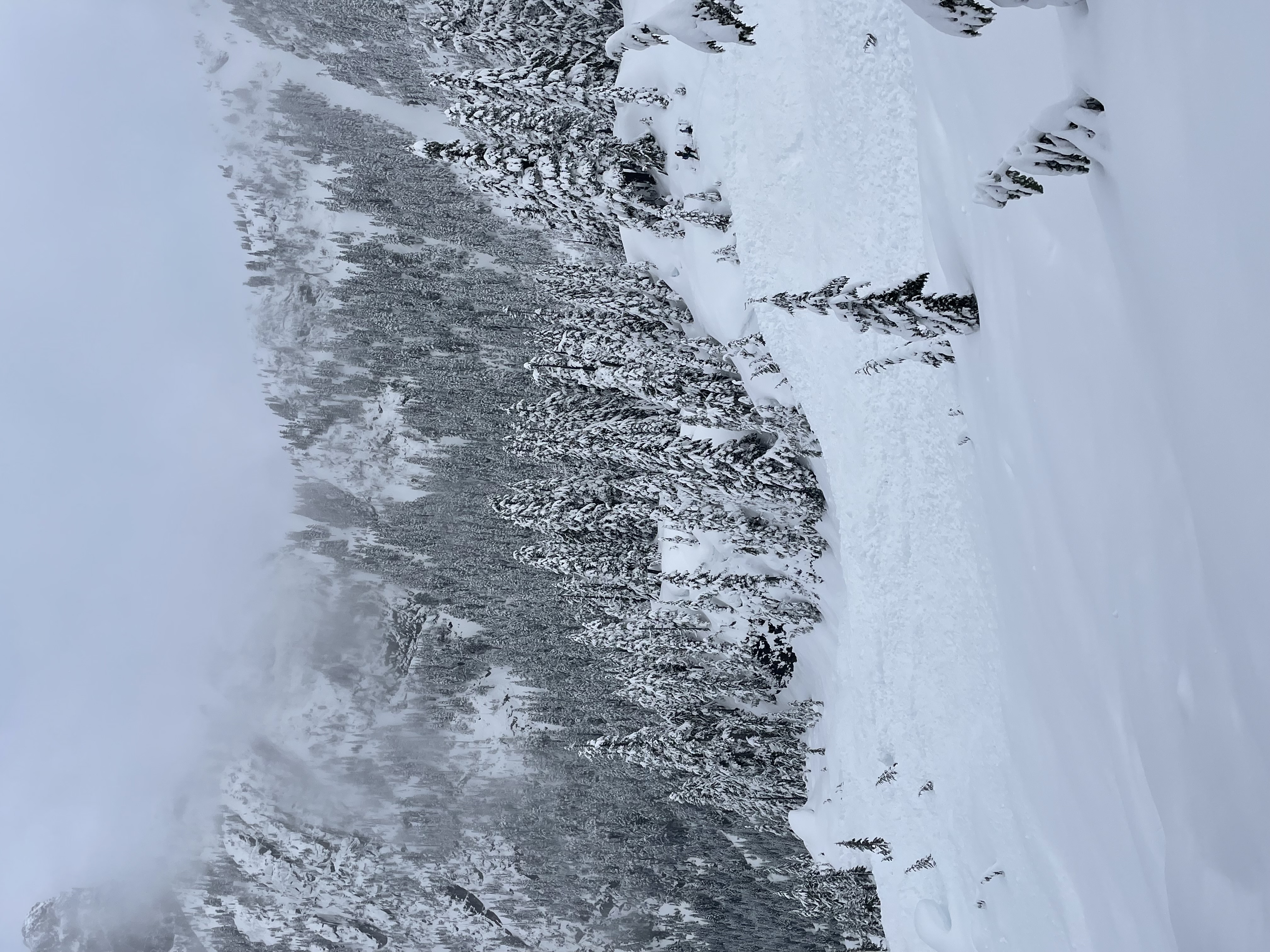
Quick cruise up to the Stadium glacier to check out the new snow. See snowpack tab for details.
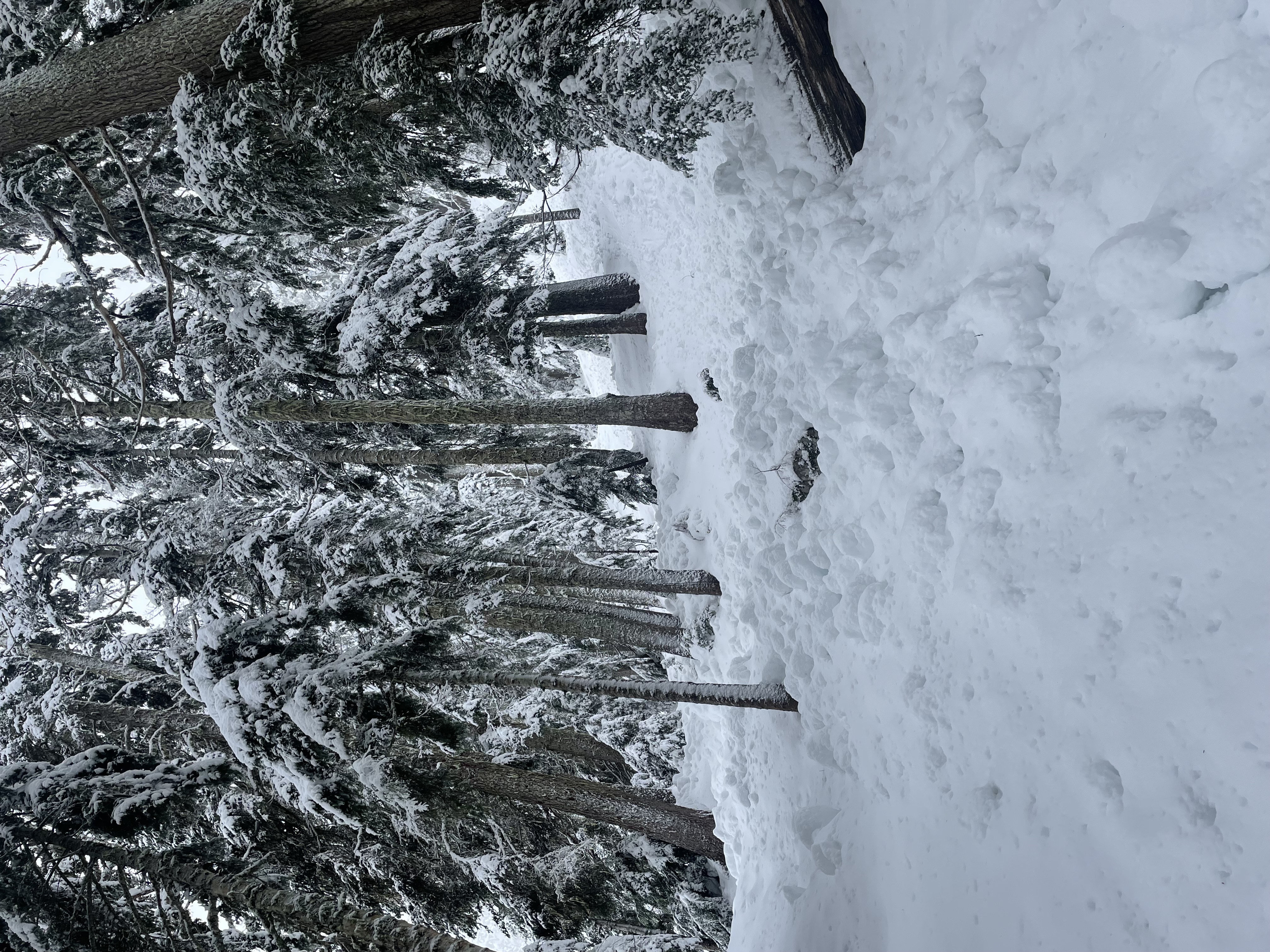
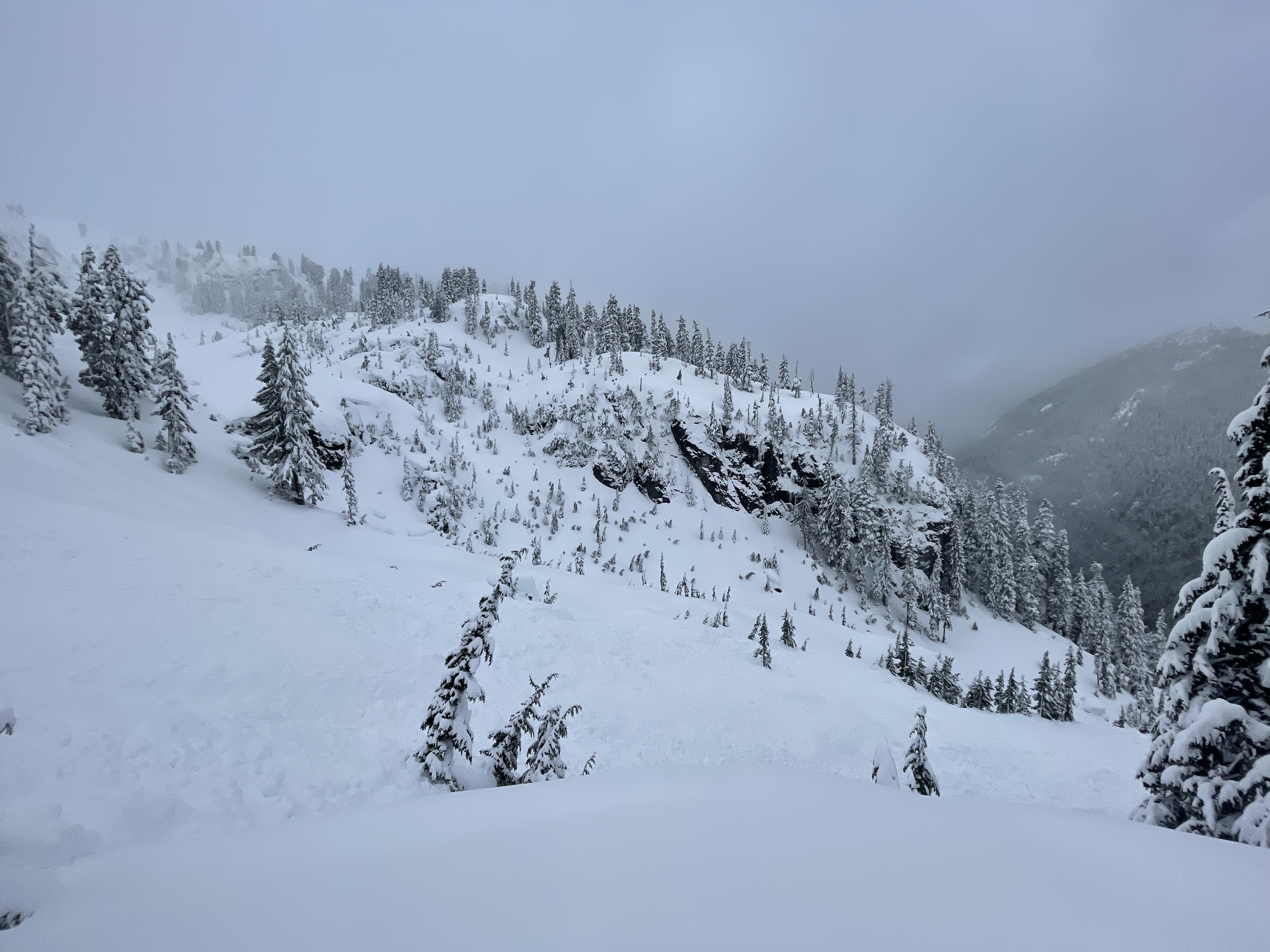
Fun, creamy pow at TL with little wind affect, but above TL the impact of the wind was clear so did not venture higher. The buried rain crust from Saturday night became less evident higher up, but was still present at TL.
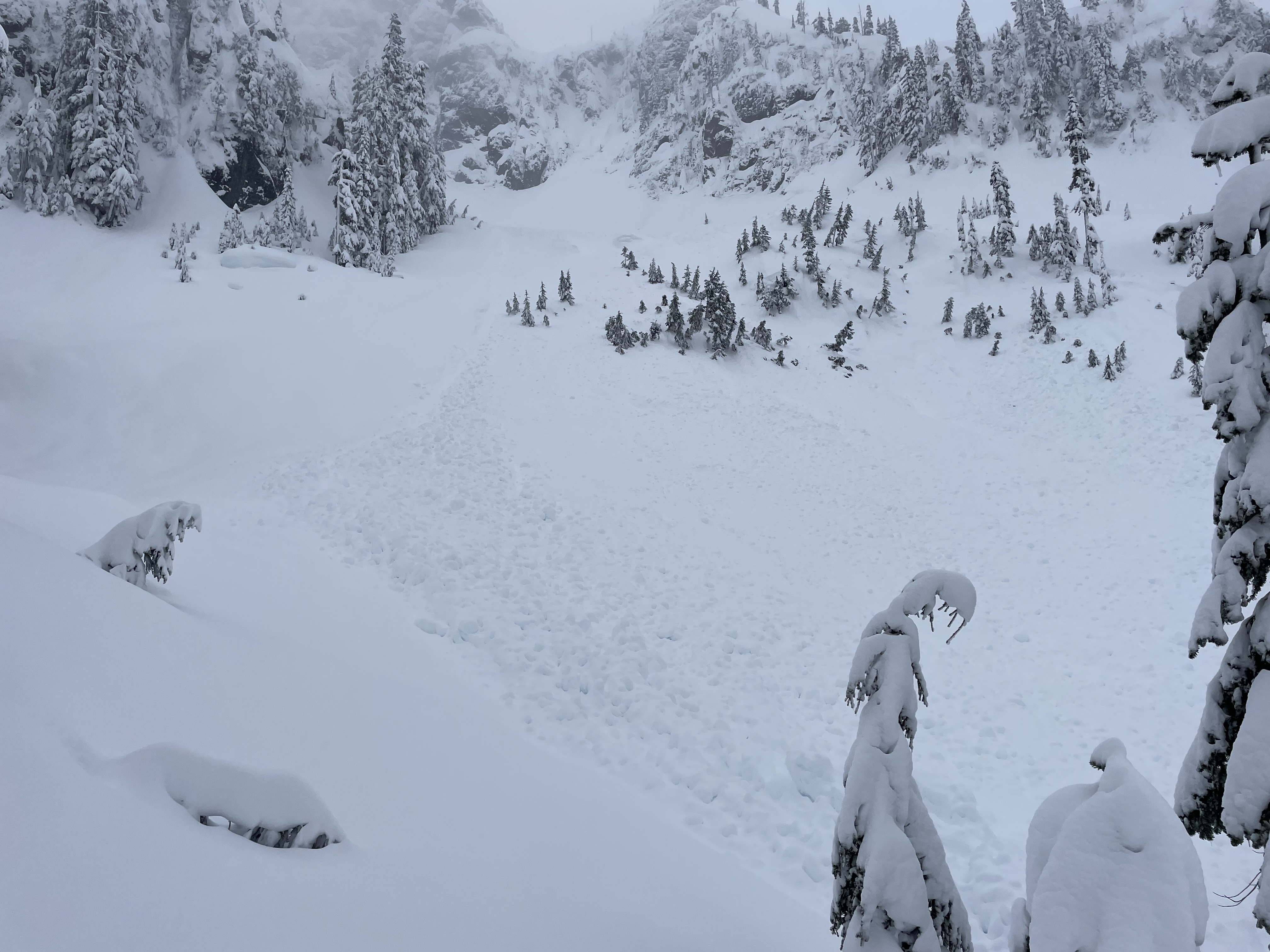
Cleavage went size 2/2.5, probably at some point during the storm. Viz was poor so couldn’t get a good look at the crown. Lots of wet loose tree debris in the tree triangle to make the skin track challenging.
Road is starting to get thin! This storm didn’t seem to help much lower down.
Snowpack
HS 280
HST 70
CT 25 BRK down 70
Rain crust from the Saturday night warm up down 30cm, with surprisingly dry snow above (F to 4F), and progressively more dense wet snow below (4F to 1F). All this seems to be bonding fairly well to the crust/surface hoar combo buried on March 7.
Photos (4)