
Quick report
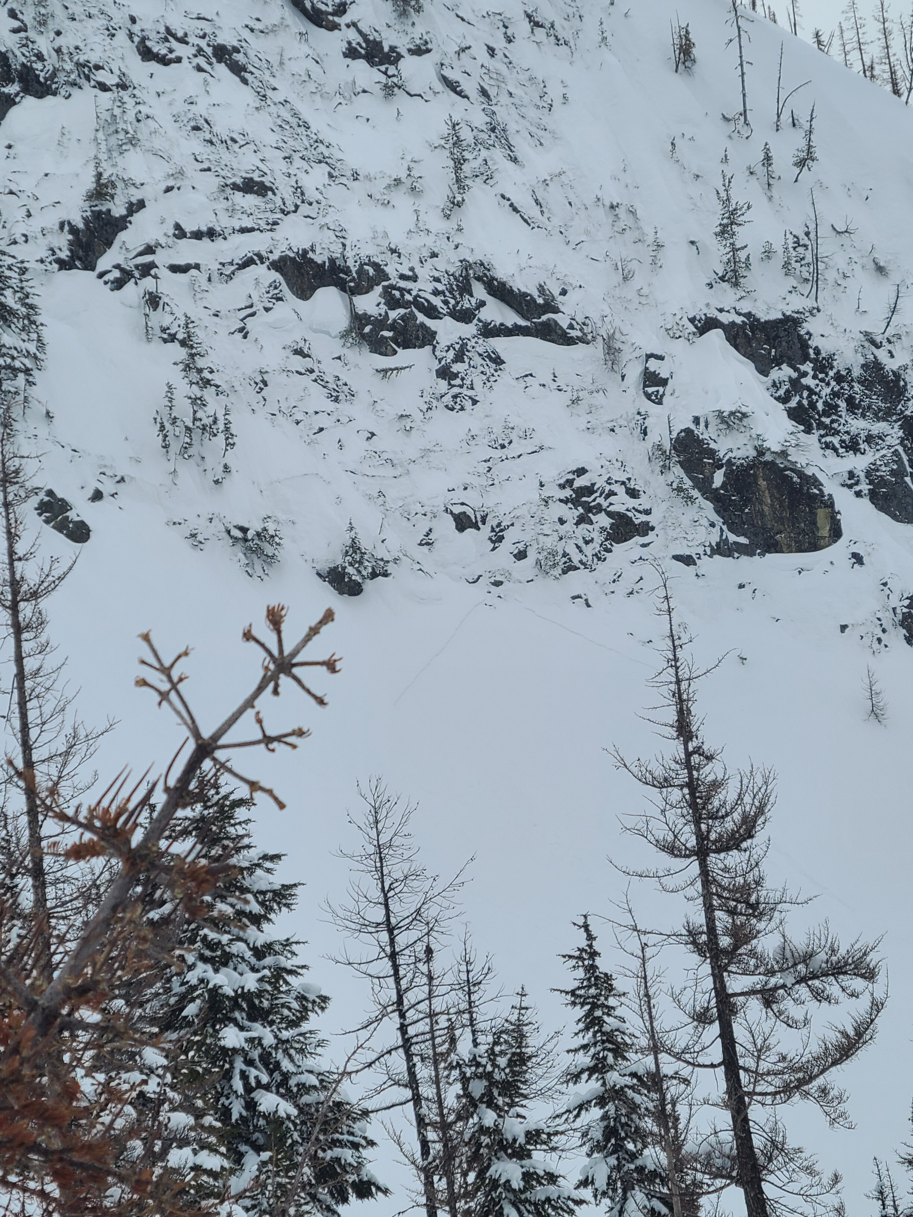
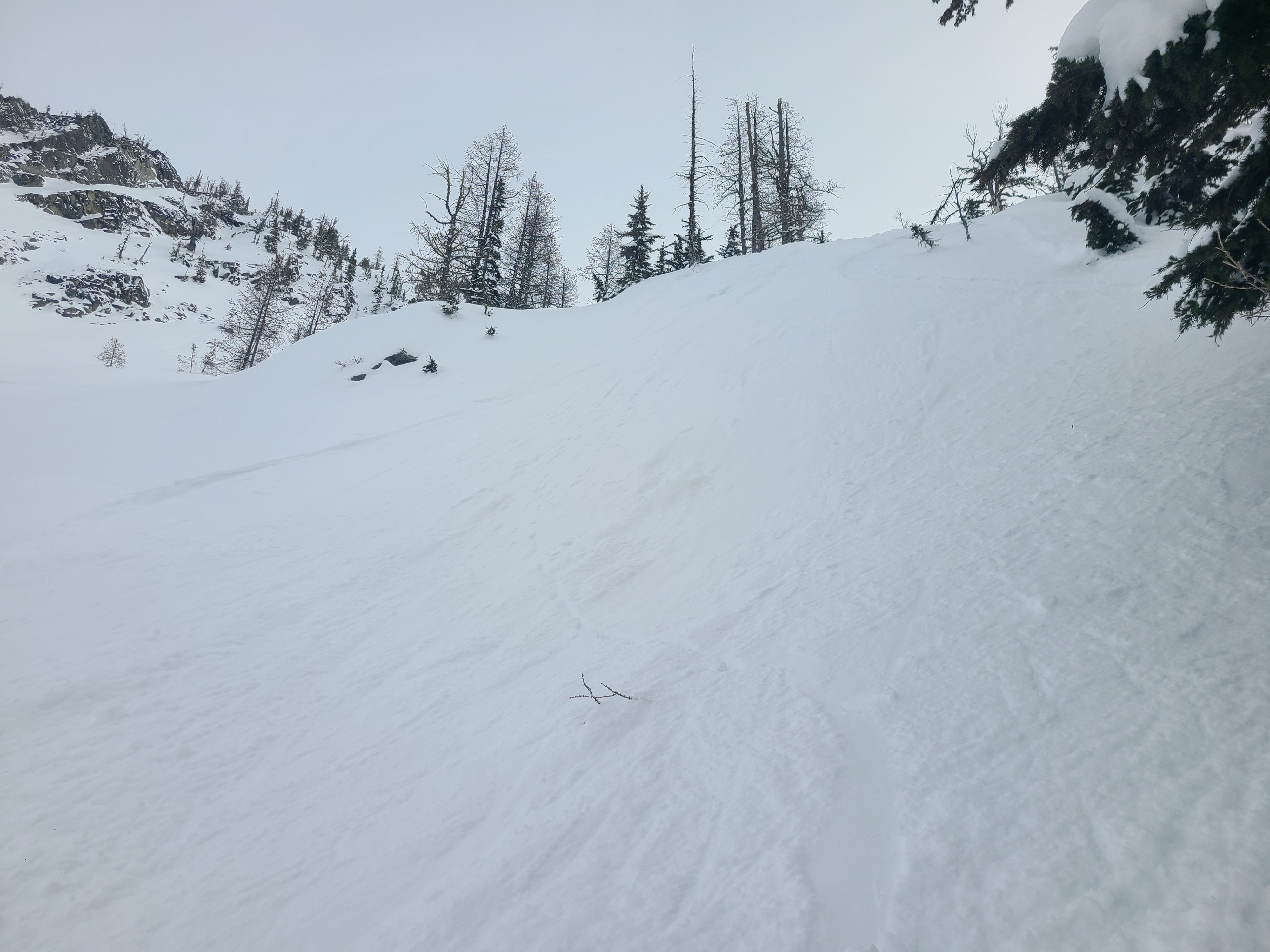
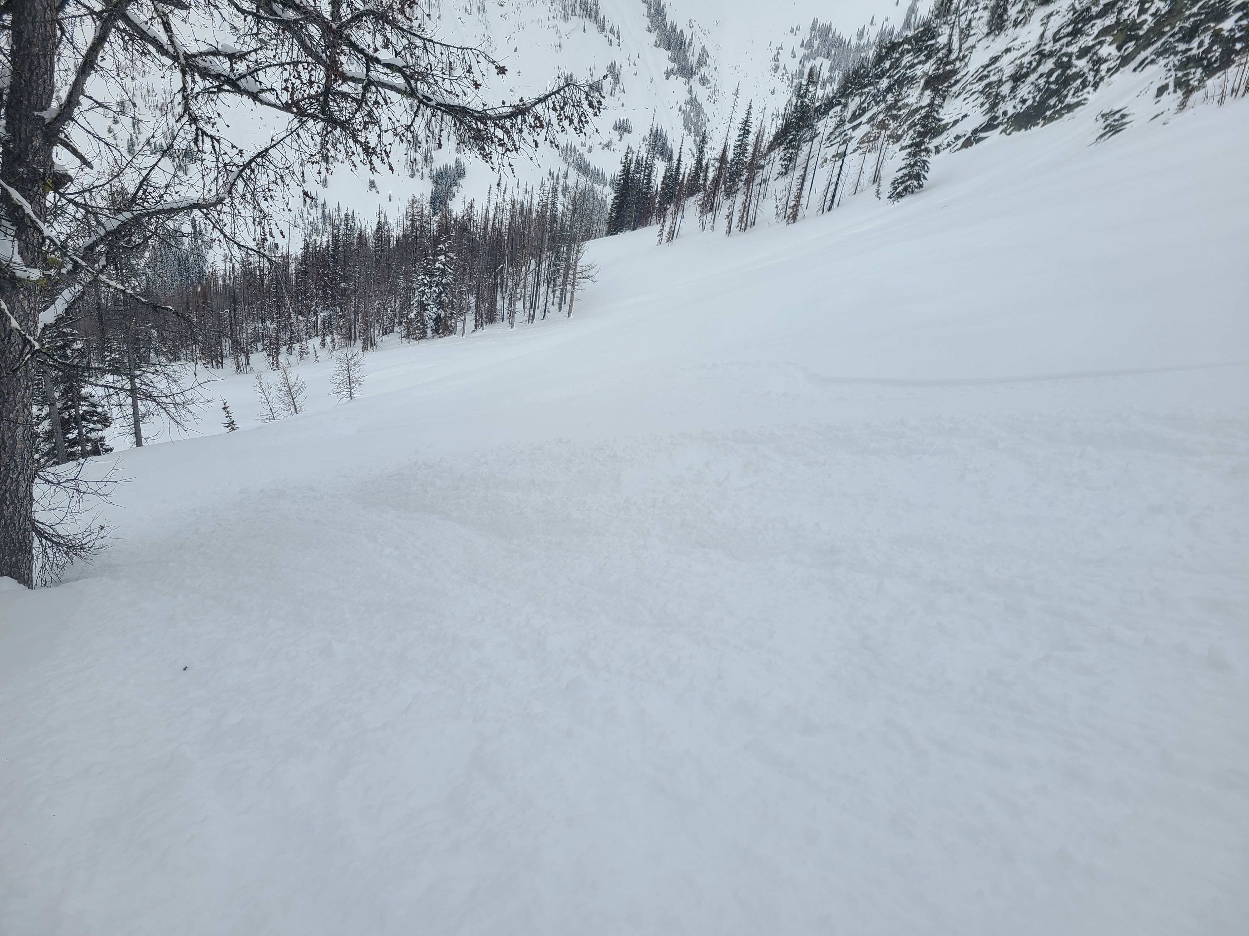
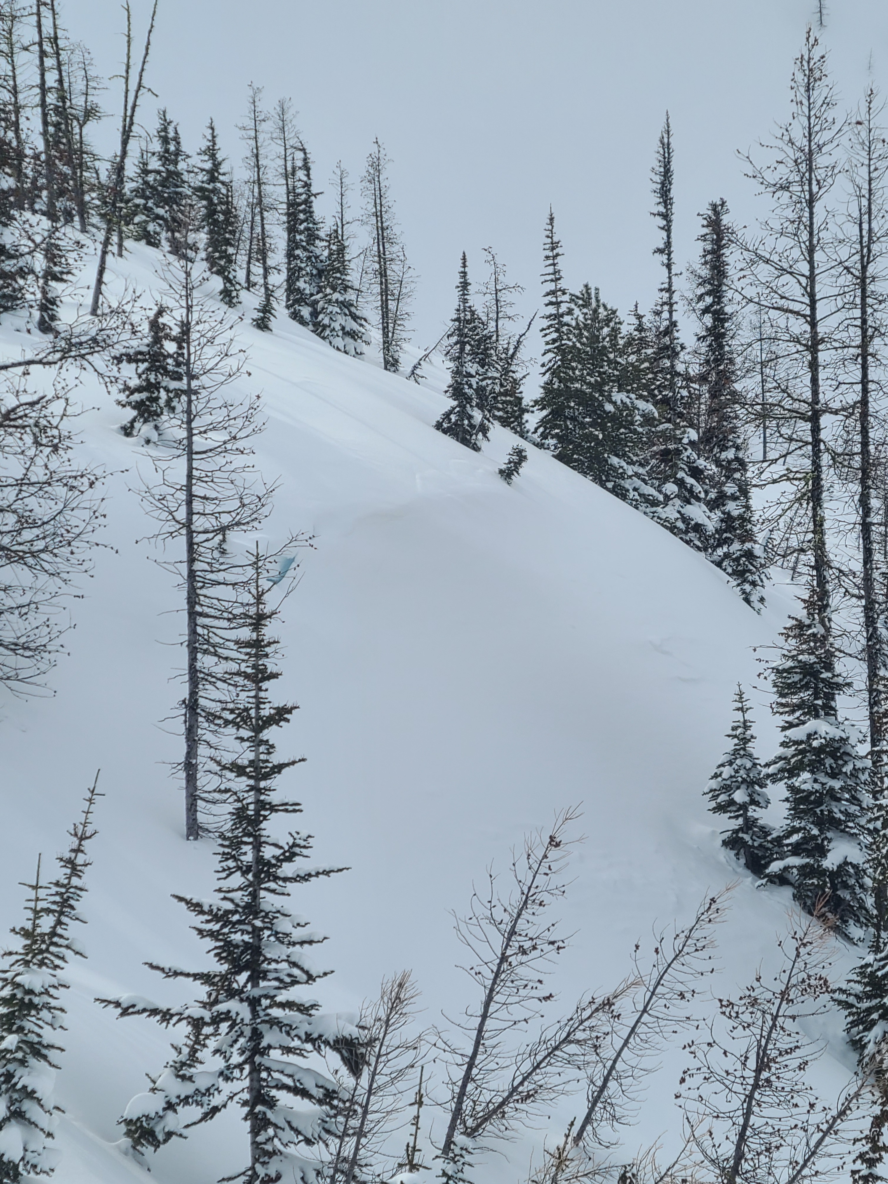
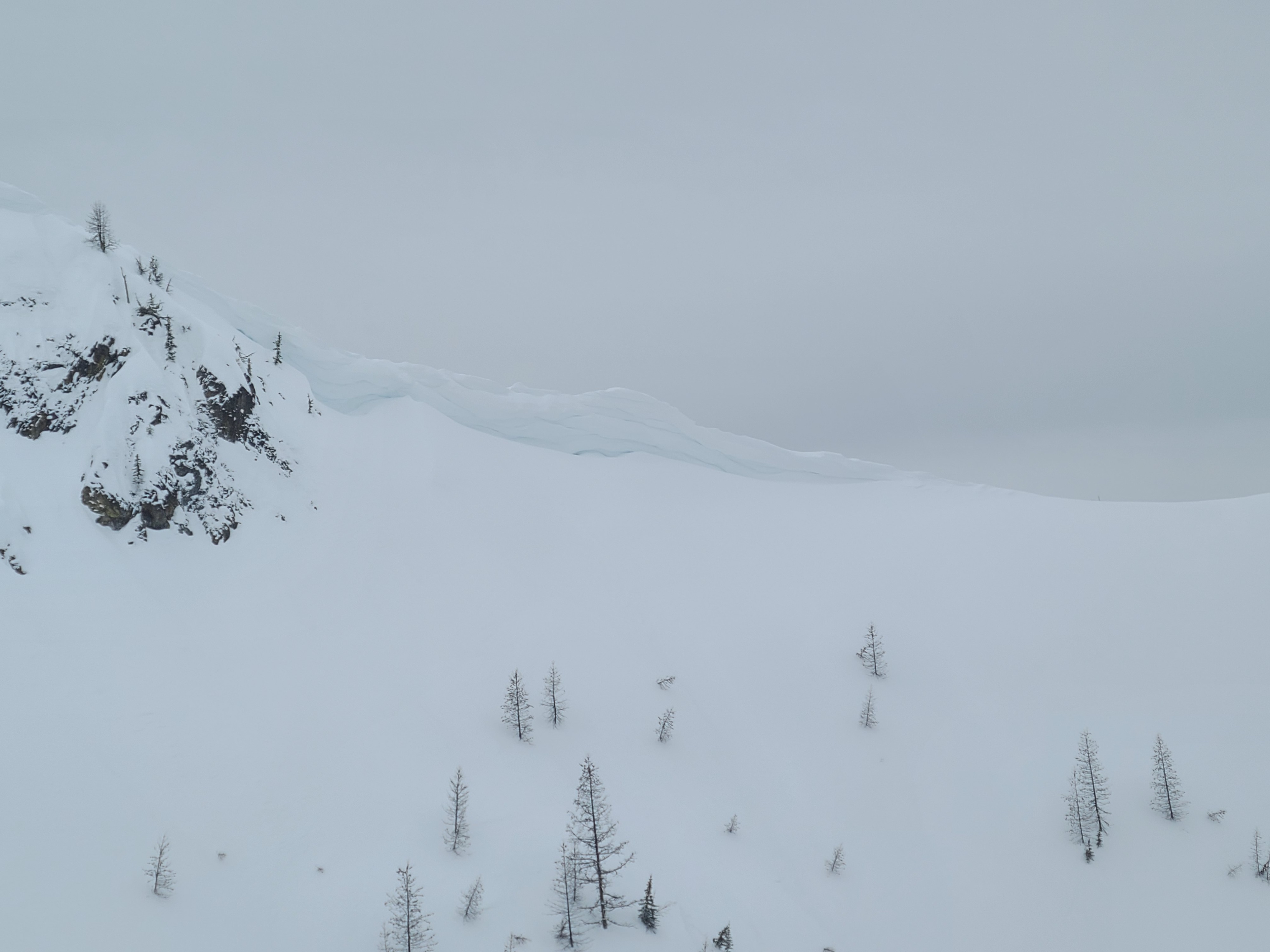
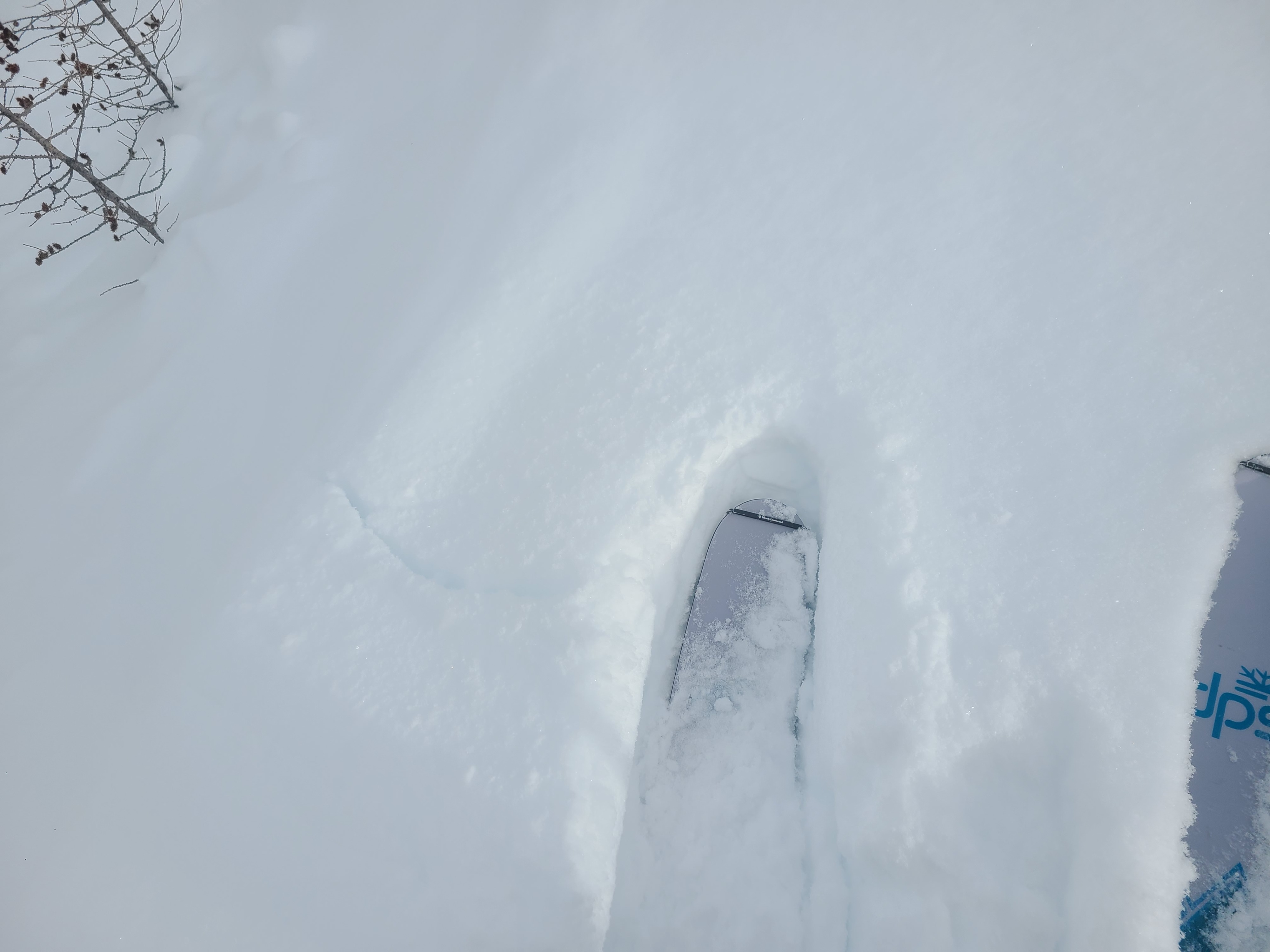
Other than a frigid start to the morning, it was an overall pleasant day with light winds and overcast skies. We found minor instabilities within the new snow in wind-loaded areas, which were enough to keep us in sheltered lower-angle terrain. We watched one tiny wind slab release from very steep terrain below cliffs. It was triggered by loose snow sliding down the cliff face. Steep test slopes in sheltered locations produced small dry loose avalanches, but they didn't tend to run far or fast. Stability tests showed some weaknesses in the upper snowpack, but we didn't observe any signs of instability outside of wind-loaded slopes.
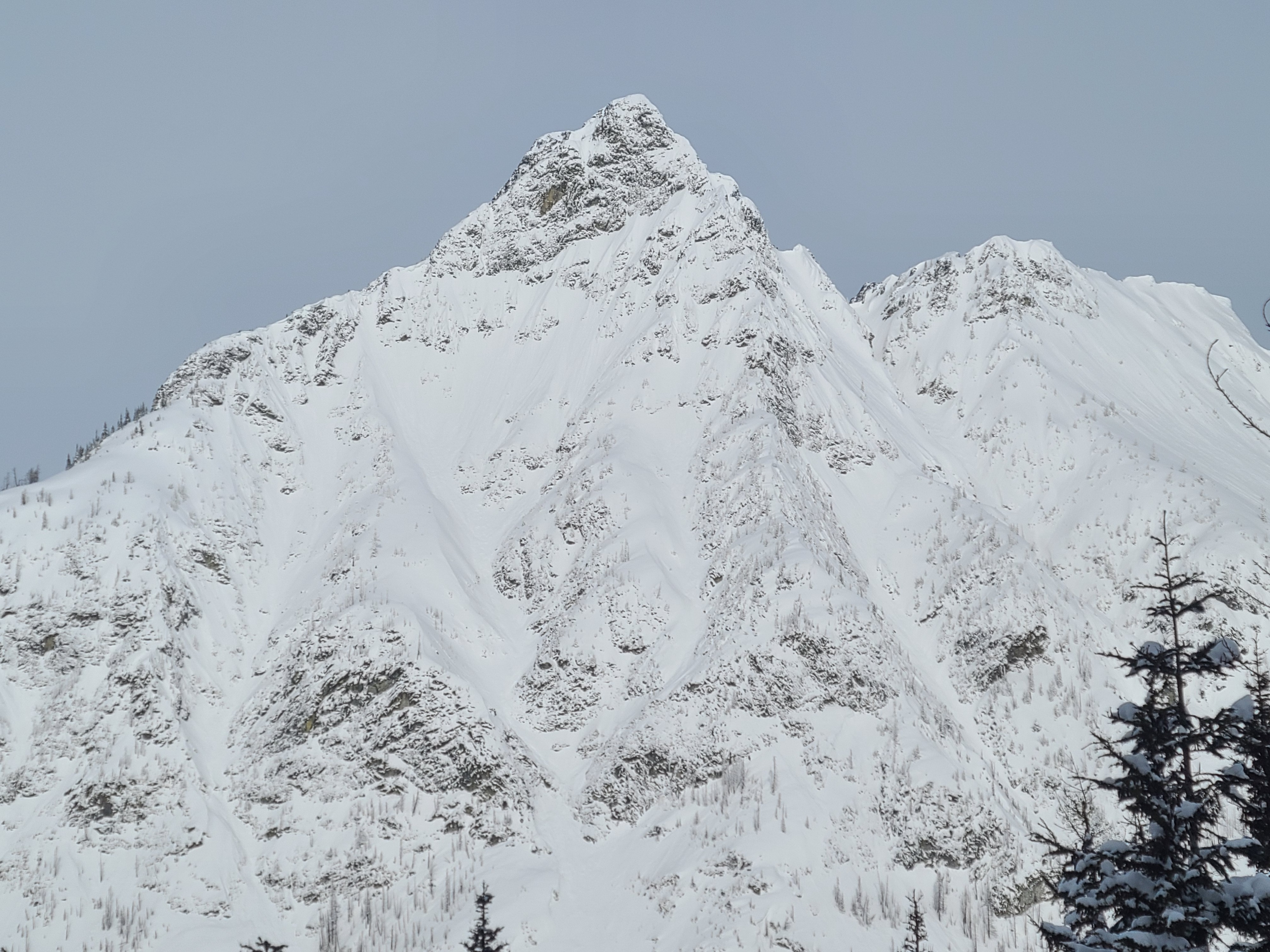
The extent of the natural avalanche cycle from Friday (3/13/2026) was impressive. While none of the avalanches were very large, pretty much any steep slope showed evidence of either dry loose or slab avalanches.
Weather
- Cloud Cover
- overcast
- Wind Loading
- previous
- Recent Snowfall
- 5cm
- Snow Avail For Transport
- large amounts
The morning started out bitterly cold with moderate westerly winds. Winds died down by mid-morning and temperatures moderated to just chilly by midday. Skies were overcast, with thin clouds in the morning becoming thicker as the day progressed. Light snow began around 2:00 pm.
Snowpack
Snow Surface Summary
Deep, dry snow everywhere in sheltered terrain. There was 5cm of snow in the last 24 hours. Boot penetration was 40-50cm, and ski penetration was 20-30cm. In more wind-exposed terrain, recent snow had been drifted around, and snow depths varied between 4-5" up to 2'. Any slopes exposed to large avalanche paths above had soft avalanche debris with 5-6" of snow on top. Recent snow depths were fairly consistent from 5000ft-6700ft, only variable due to wind exposure.
Snowpack Summary
50-60cm of recent snow overlays the 3/8 melt-freeze crust. Within the recent snow, a density change exists from warming and strong winds down about 30cm. Stability tests yielded stubborn results beneath this harder layer on a layer of softer, preserved precipitation particles and decomposing fragments. The overlying snow showed a favorable bond to the 3/8 crust, which is pencil to knife hard. Below the crust is a weak layer of .5-1mm faceted melt-forms. Below this, the snowpack consists of multiple layers of melt-freeze crusts, with some weaker, rounded facets between melt layers.
On wind loaded slopes, hand shears failed easily with moderate effort in the upper 20cm of wind drifted snow.
Snow profile
6490ft, WNW aspect
HS 275cm
Layers of interest
3/12 interface: ↓ 31cm
3/10-3/11 preserved Precip particles and decomposing fragments: ↓ 41cm
3/8 Melt-Freeze Crust: ↓ 56cm
Stability Test Results
CTH (23) RP ↓ 41cm
ETCN 23 ↓ 41cm
PST 45/100 End @41cm