
Quick report
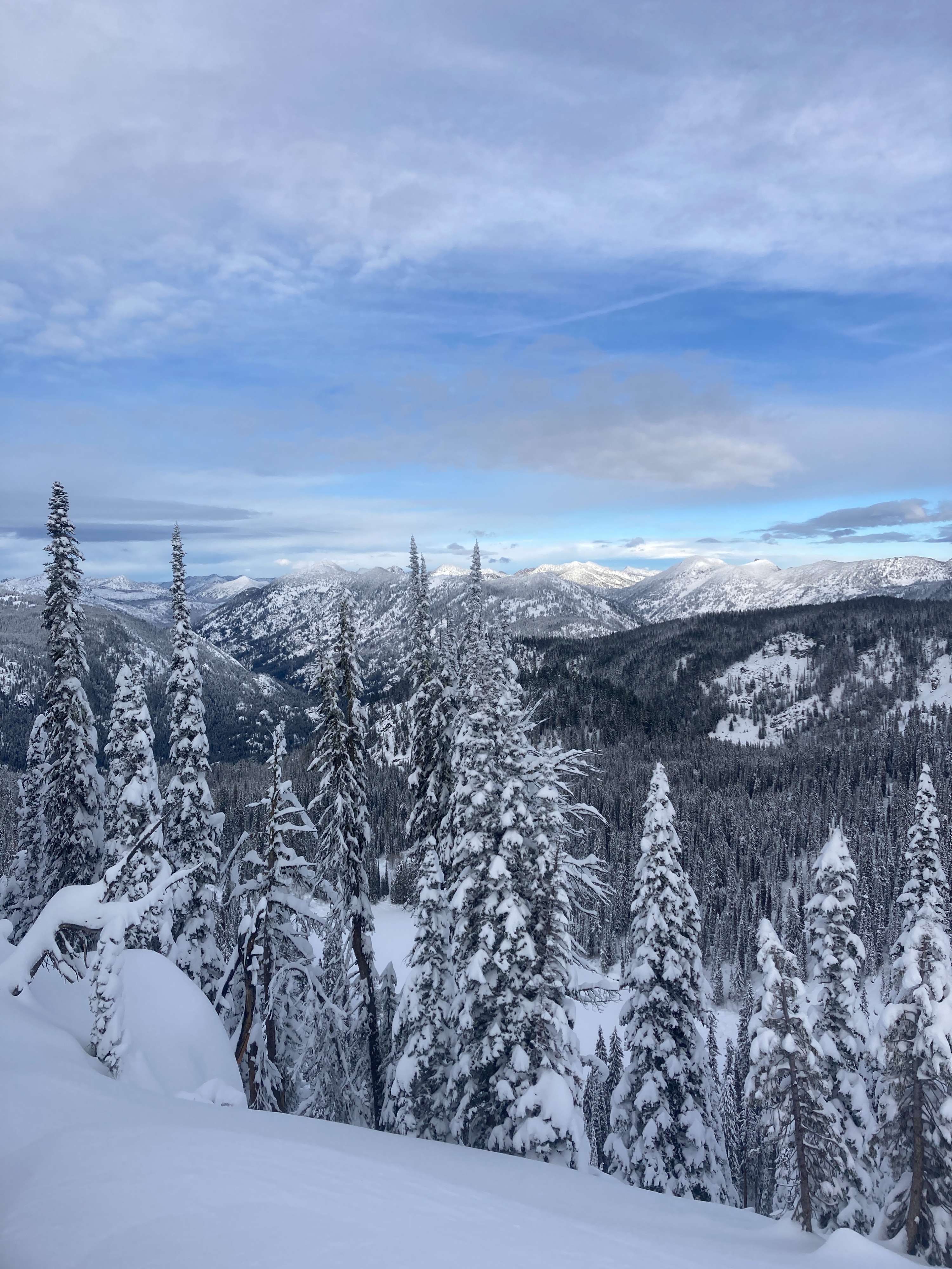
Winter is in full force at upper elevations. Above 7000' we found anywhere from 3-5' of snow on the ground, with more at higher elevation ridgetops. Snowpack was significantly impacted from recent storm event. Moist snow was found near the ground. Several inch thick rain crust will be something to watch in the coming days and weeks. Despite wind loading and recent wind transport, windward aspects near ridgetops were holding 70-90 cm (2-3 ft.).
No obvious signs of instability noted.Weather
- Cloud Cover
- scattered
- Wind Loading
- light
- Rain Elevation
- 7800+
- Recent Snowfall
- 15
- Snow Avail For Transport
- small smounts
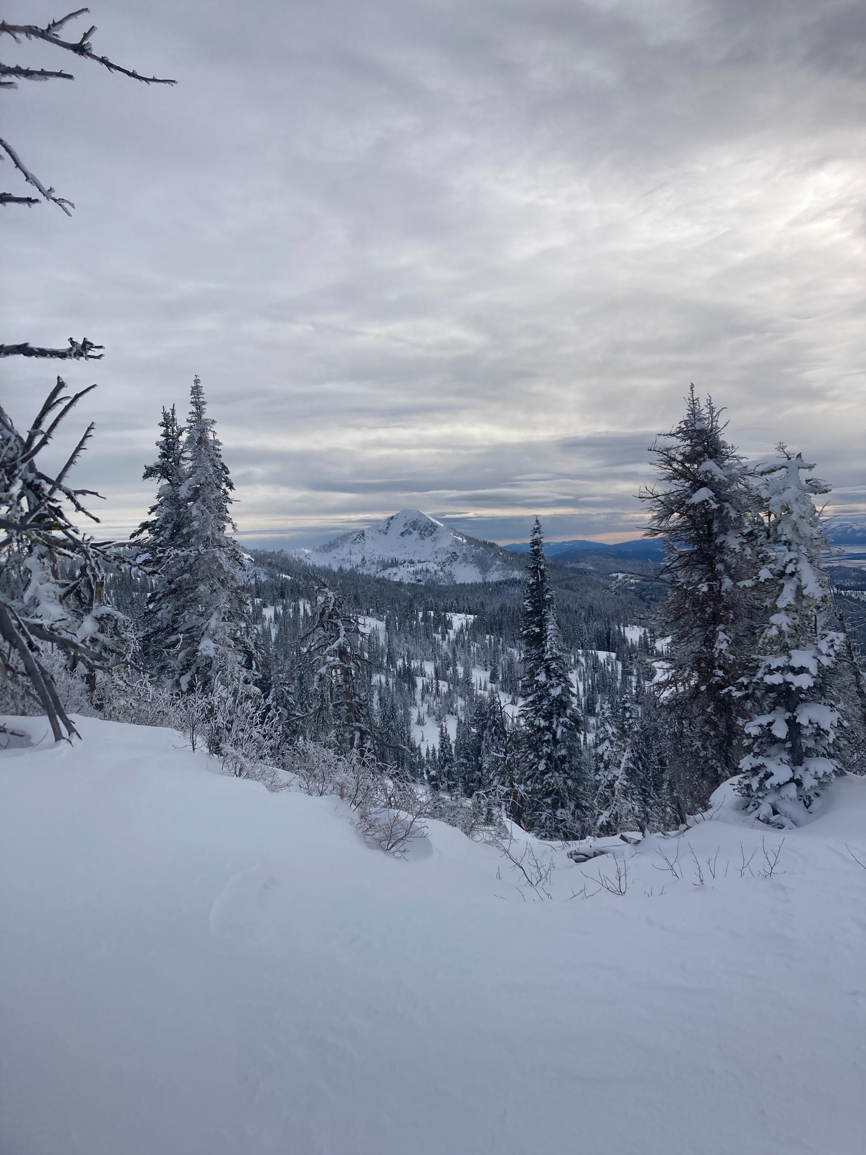
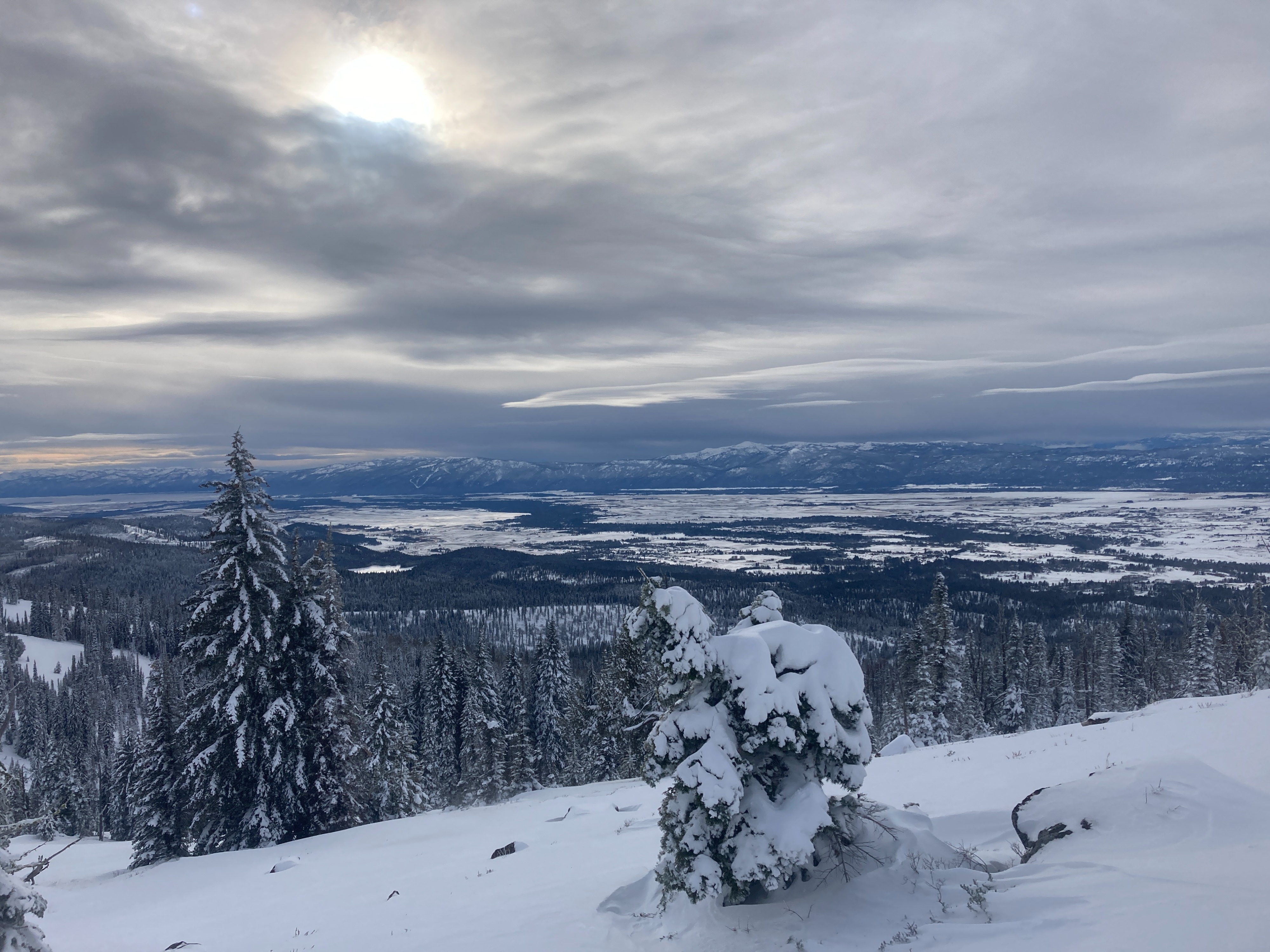
Light winds out of the south/southwest. Dark storm clouds rolling in from the west/northwest. Scattered sun and clouds with seasonal temperatures.
Snowpack
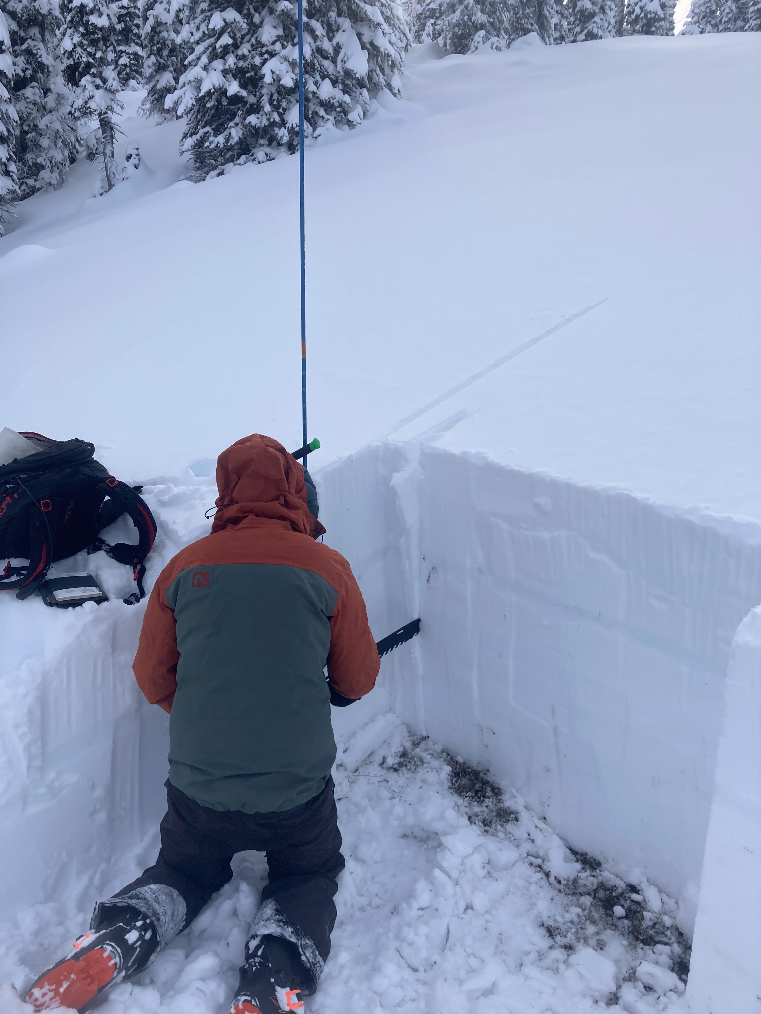
We dug a pit on an E/NE aspect around 7500. We found 110 cm (4ft.) of snow. Prominent rain crust was about 35-40 cm down (16"). Snowpack was well saturated from recent atmospheric river event. Failures in our tests did not propagate (ECTN). Ski penetration was 15 cm (6") and boot penetration was around 45 cm (18").