
Quick report
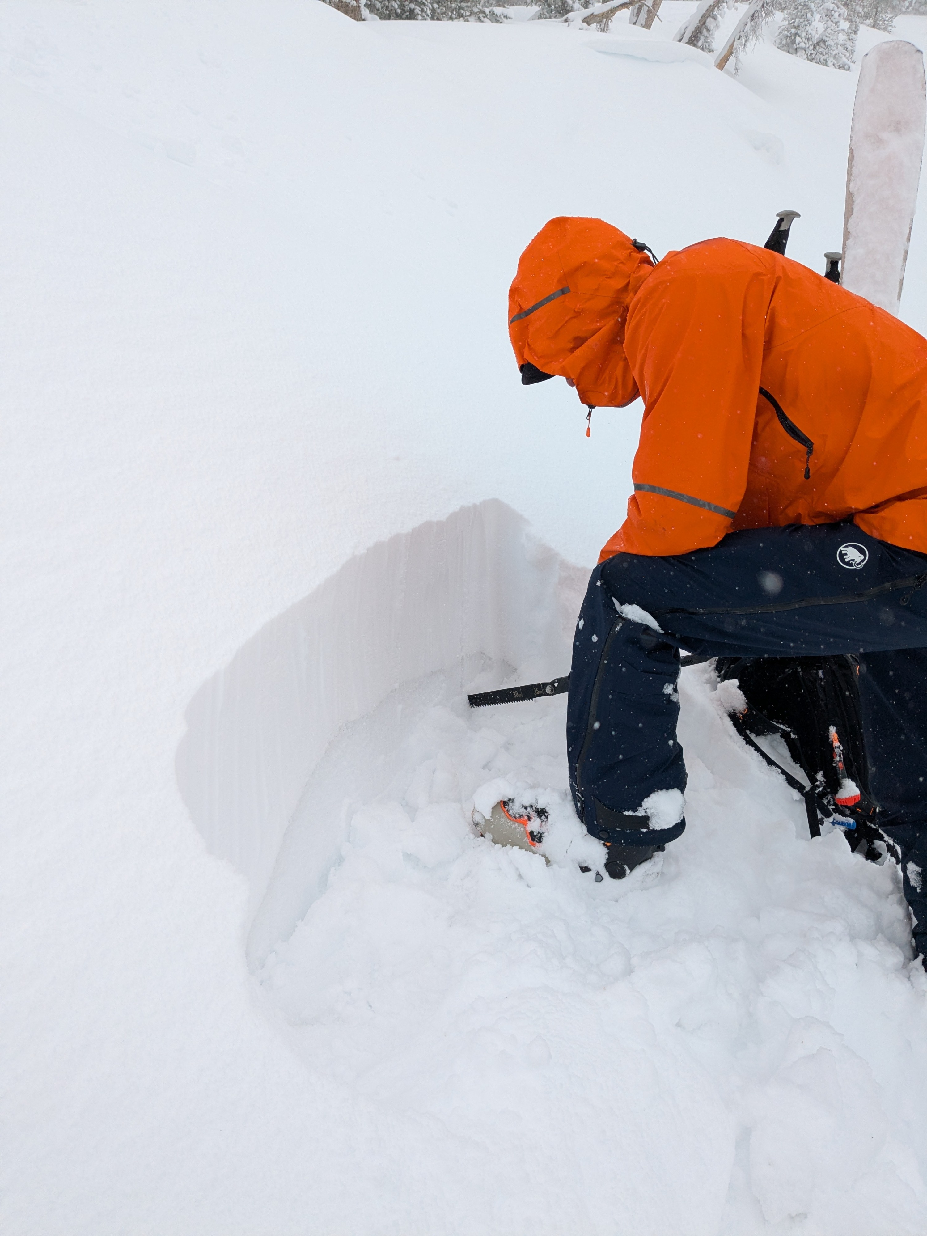
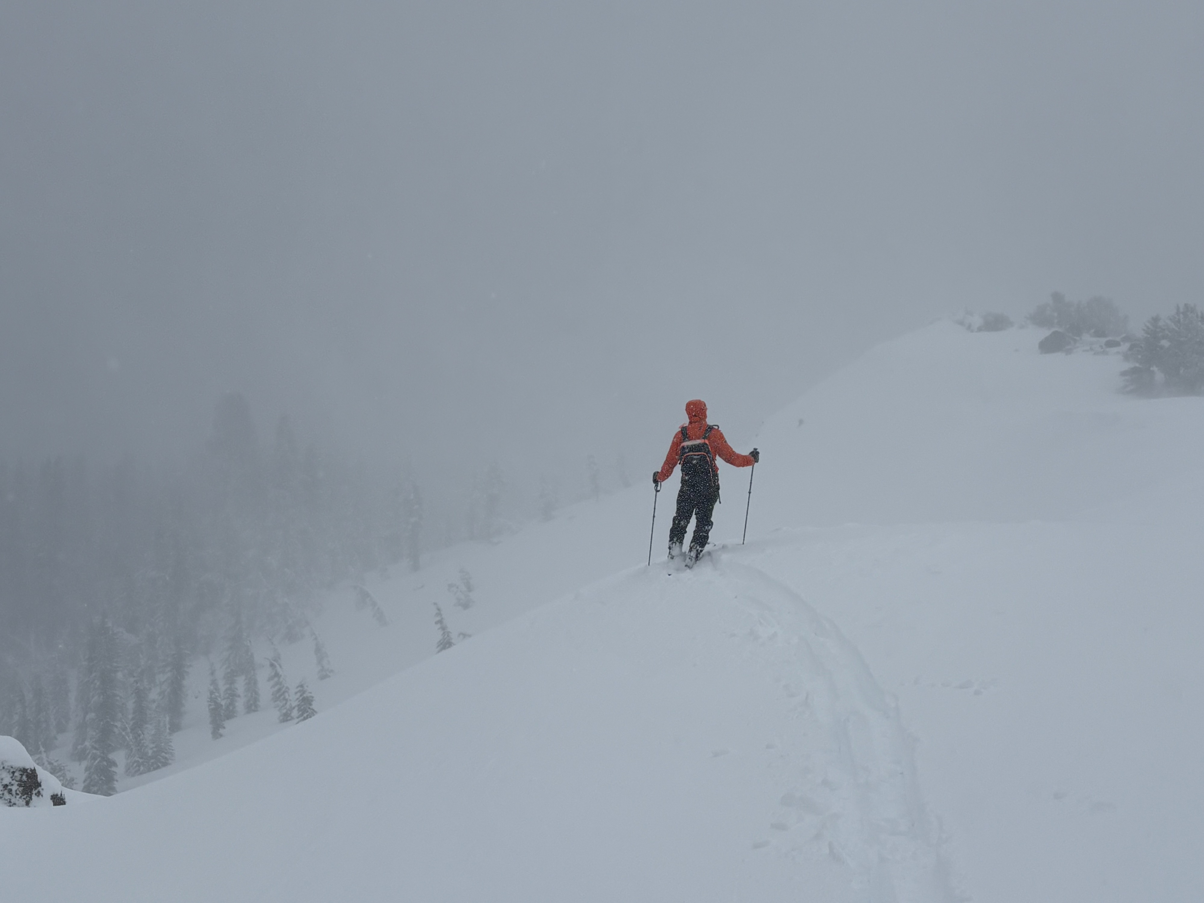
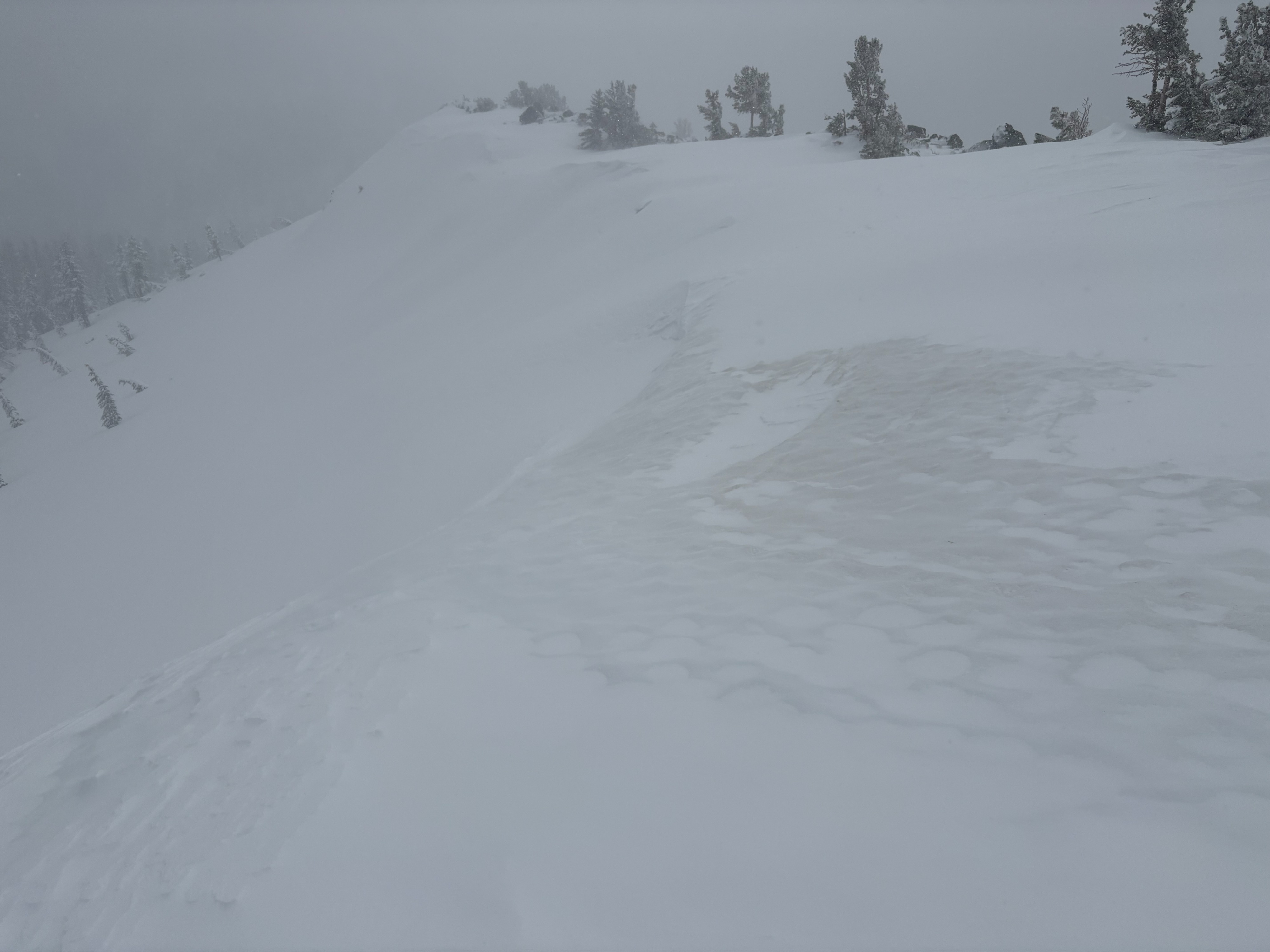
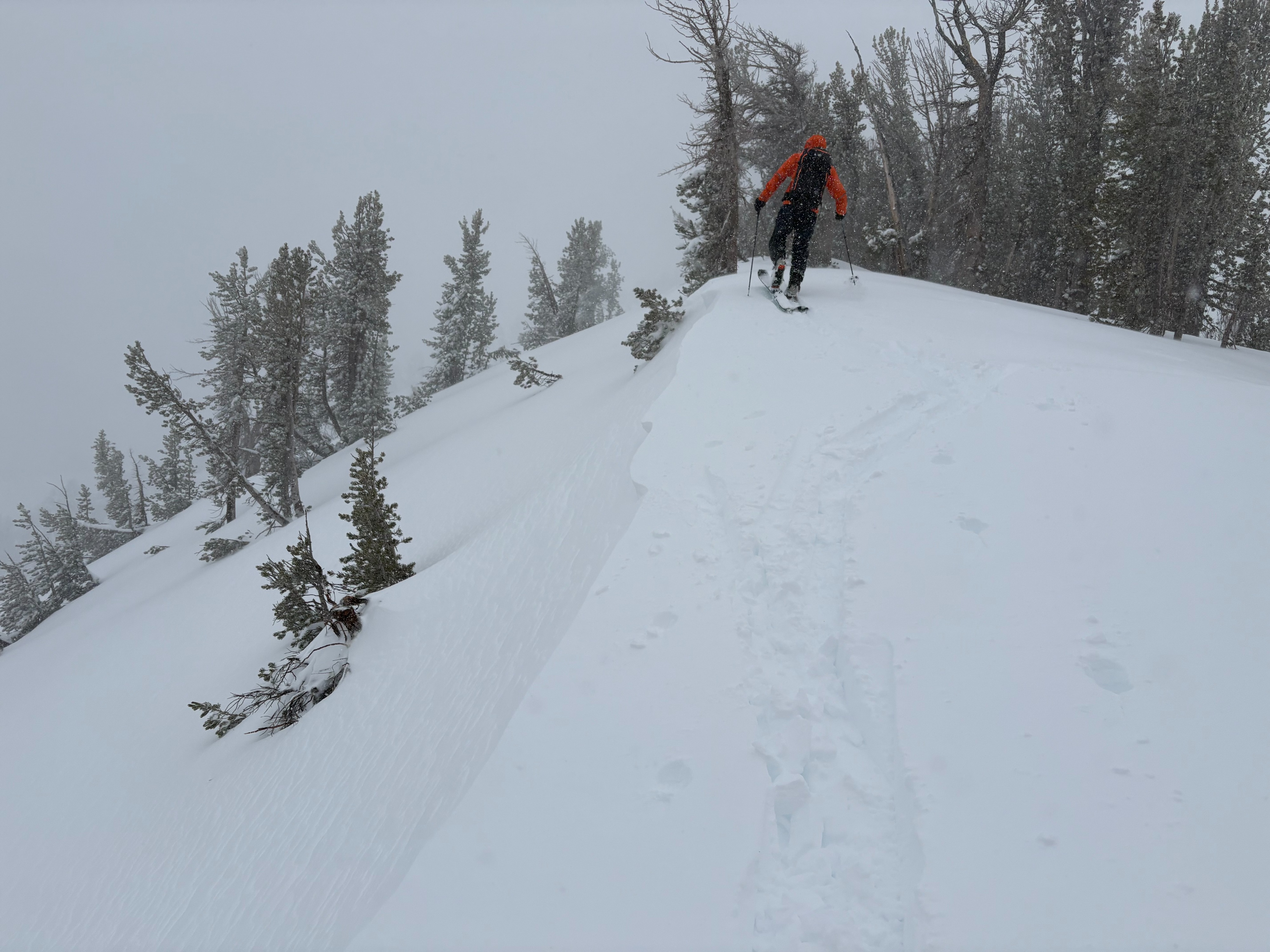
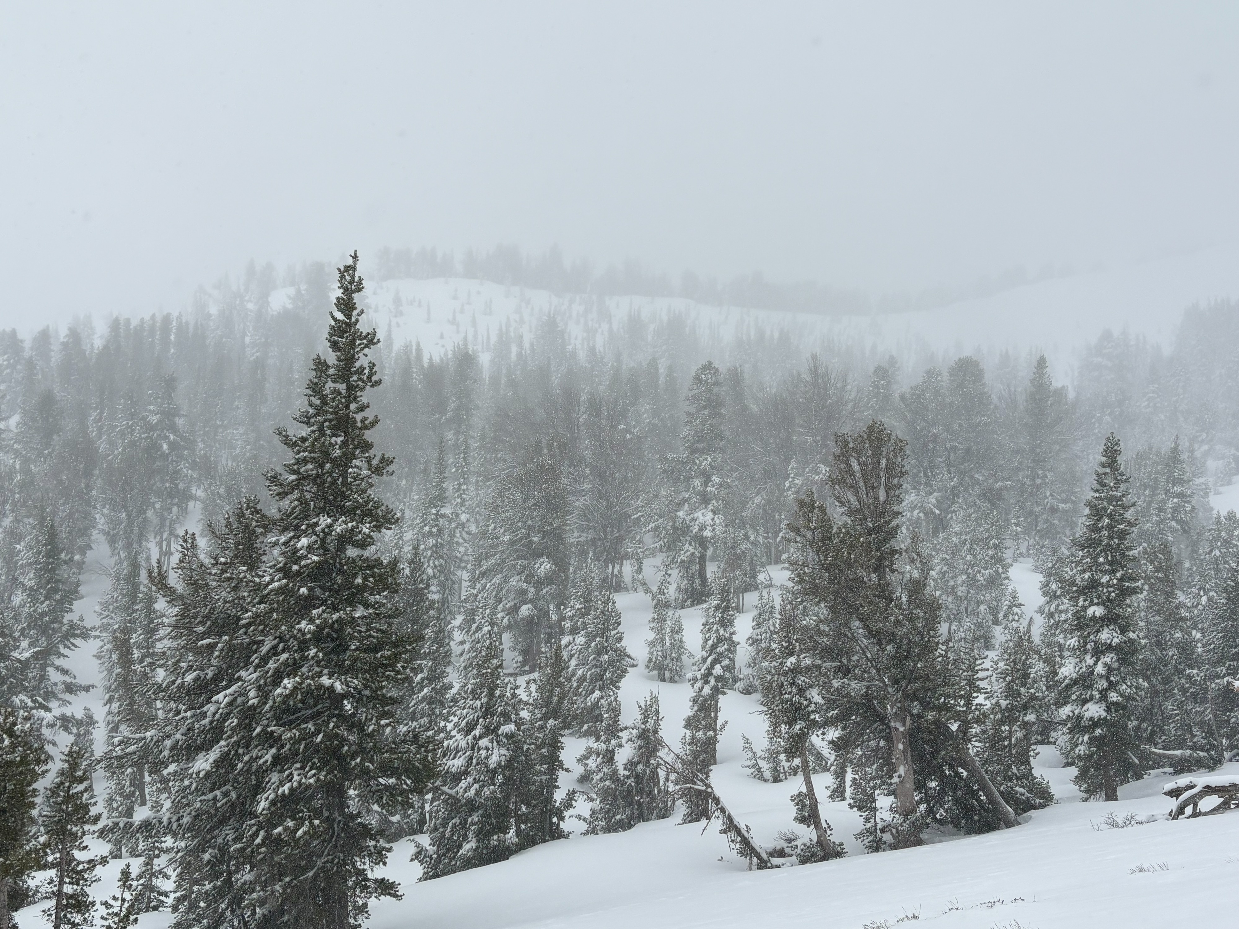
Light new snow was observed just above 7000 feet driving up the Mt. Rose Hwy with full on winter conditions above 8000 feet. 10-12 inches of new snow in the last 24 hours was found throughout the Tamarack Peak area. The new snow was dense with some surface wind scouring. We observed very localized cracking in below treeline areas due to a density change within the storm snow, having lighter snow below denser surface snow. In more wind exposed areas, wind deposited snow was up to 2 feet deep. Again, some minor cracking was observed but we couldn't get any storm slabs to fail on steep test slopes and snowpack tests also did not show that these storm slabs would propagate. Winds increased into the afternoon with additional blowing snow and slab development. Care must be taken to pick terrain that had previous adequate snow coverage or this new snow might just be covering up previously exposed dirt, rocks, logs, stumps, and many other hazards.
Limited cracking was observed in wind protected and wind deposited areas.Weather
- Air Temp
- Below freezing
- Cloud Cover
- overcast
- Wind Loading
- moderate
- Rain Elevation
- 7500
- Recent Snowfall
- 35
- Snow Avail For Transport
- moderate amounts
The Slide Mountain sensor (9650') reported 27 degrees at 9:30am when we began our tour. There was 10-12'' of new snow throughout this area with up to 2 feet in wind deposited locations. Low to mid level cloud cover was dense for most of the day. SW winds were strong to gale force along exposed ridges and increase into the early afternoon.