
Quick report
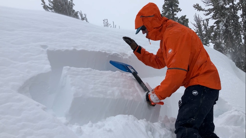
We toured the East Ridge of Tamarack Peak today. Slabs of new snow were present on top of old near surface facets at the old/new snow interface. Numerous hand pits revealed this slab over weak layer structure within to top 1 foot of the snowpack in numerous areas across the N-NE-E aspect BTL and NTL terrain that we traveled. We had repeatable ECTP results on this layer with scores ranging from ECTPV to ECTP12 to ECTP21. Informal observations indicated that triggering failure of this weak layer was difficult today both in wind protected and wind loaded areas, likely due to the slab density.
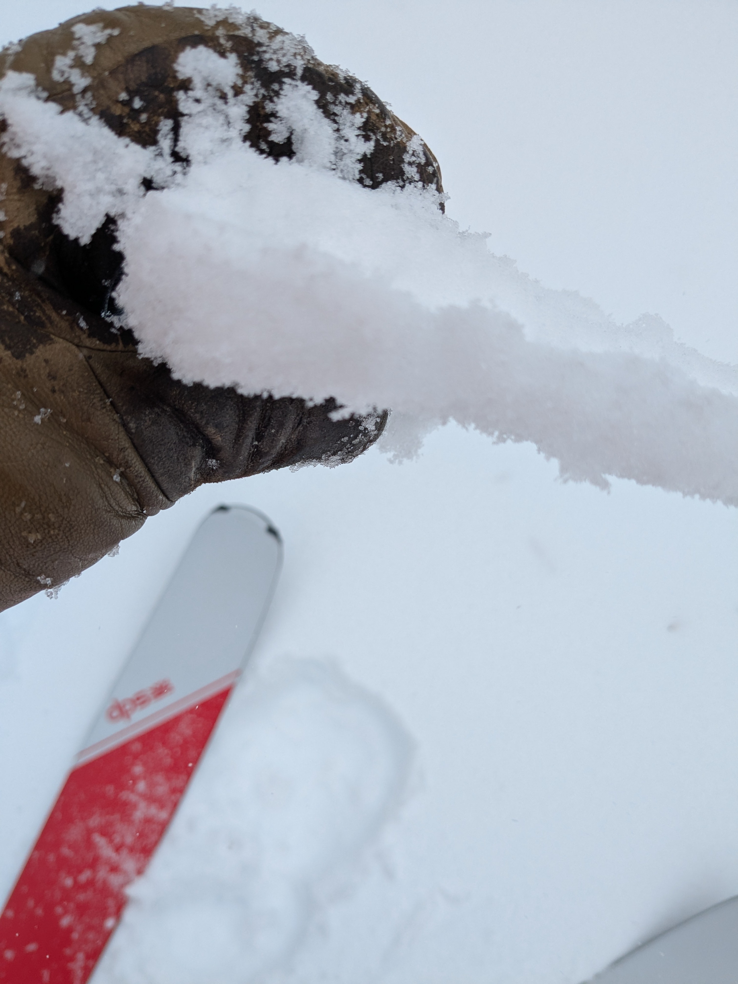
Rising snow levels yesterday afternoon left behind a rain crust on the snow surface. This crust was covered with 1 to 2 cm of new snow in wind protected areas. This rain crust was 1 cm thick at 8,600' and was not present above 9,300'.
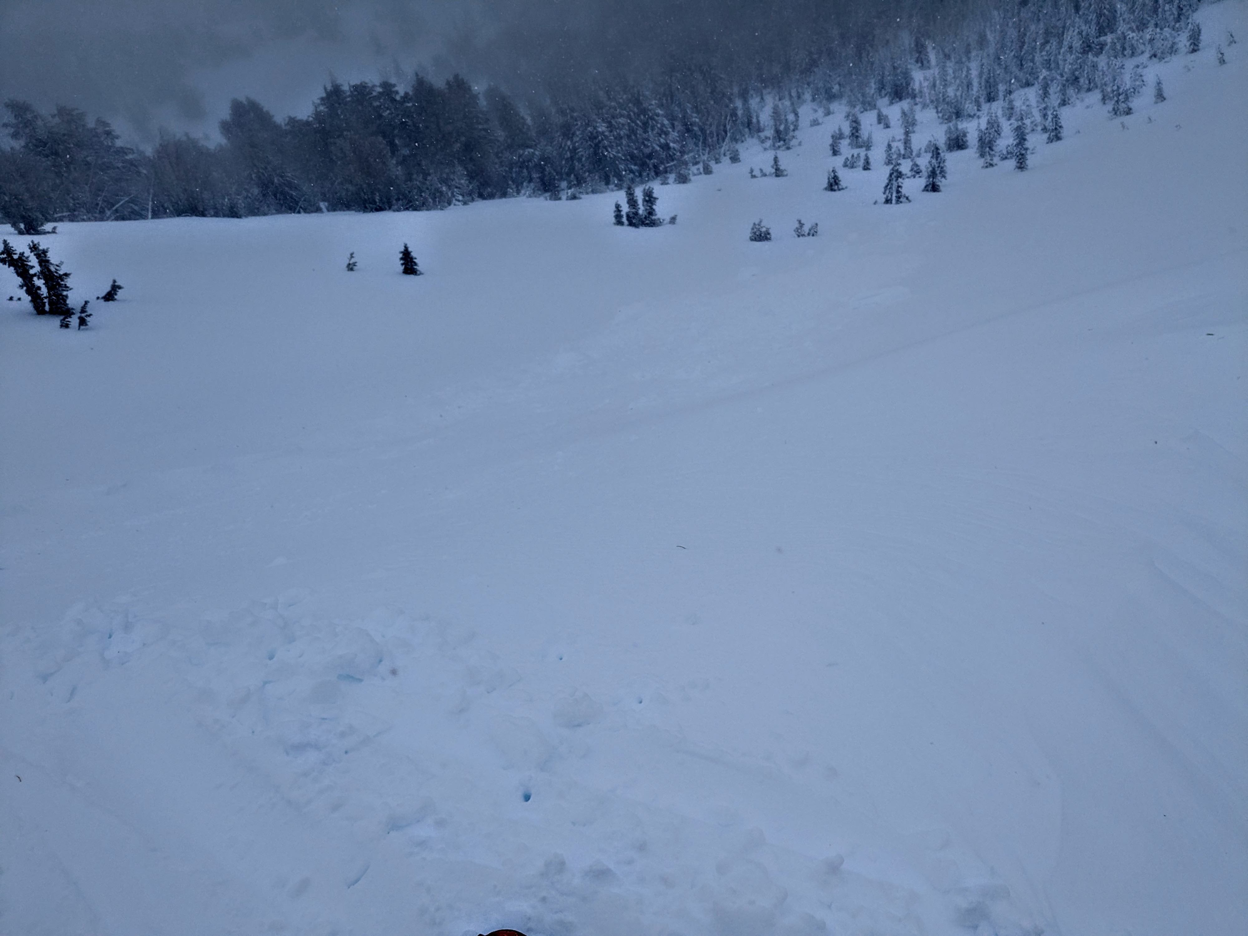
We saw one area of natural cornice collapse that had triggered a size D1 slab avalanche in wind loaded terrain on an ENE aspect near 9,700' in NTL terrain. This avalanche was narrow at 12 to 15 ' wide and had a 6 inch crown. This avalanche appeared to have occurred sometime late yesterday or last night.
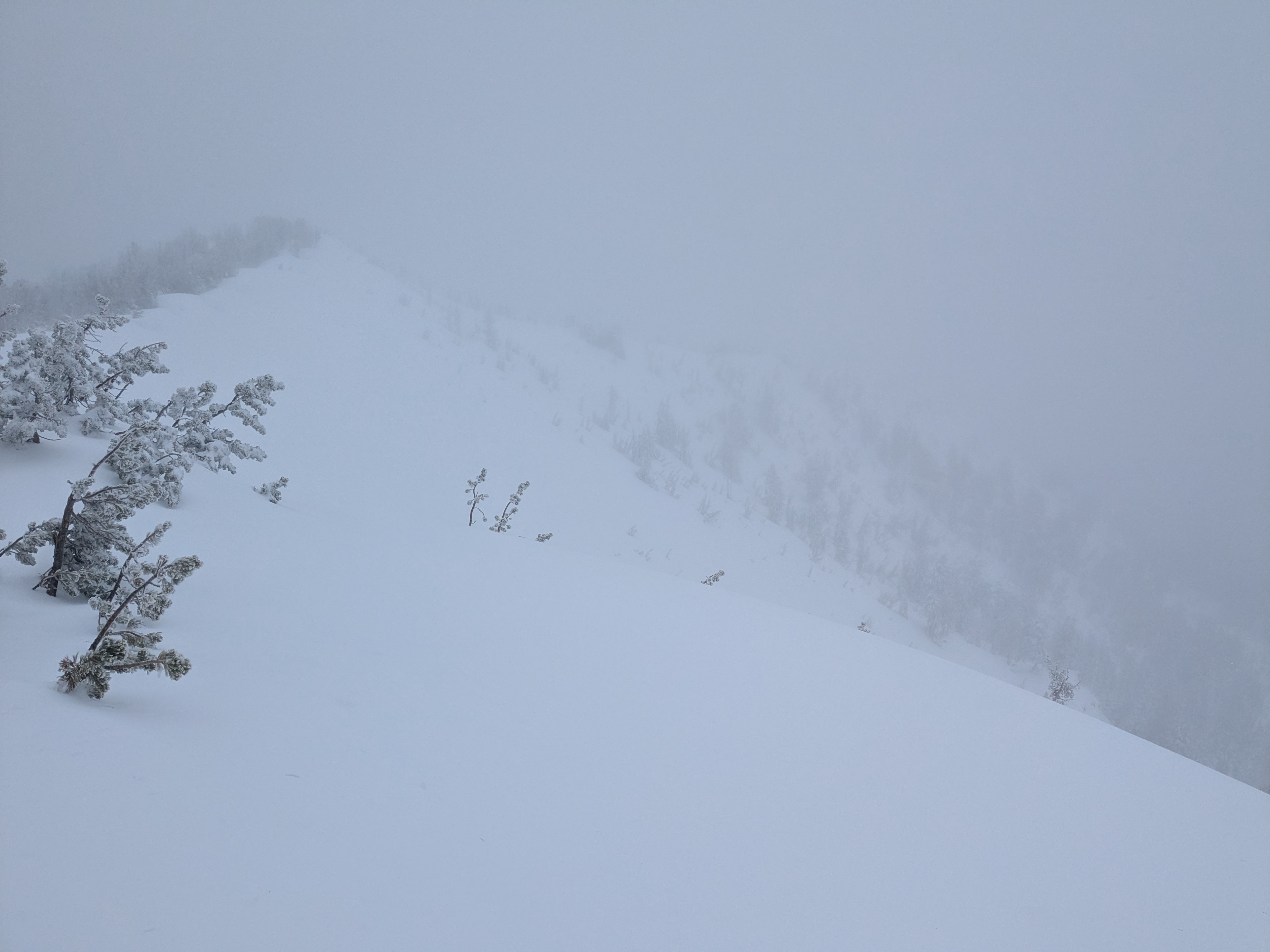
Visibility was poor and it was hard to see tracks or signs of recent avalanches beyond our immediate vicinity.
Stubborn slabs of new and wind drifted snow.Weather
- Air Temp
- 31
- Cloud Cover
- overcast
- Wind Loading
- moderate
- Rain Elevation
- 8,000
- Recent Snowfall
- 20
- Snow Avail For Transport
- small smounts
Gale force SW winds along the ridges. Continuous snowfall at S1 or less.
Snowpack
Buried near surface facets at the old/new interface are loose grain and mostly dry, with only a slight moisture increase since observed in this area on Jan 31.