
Quick report
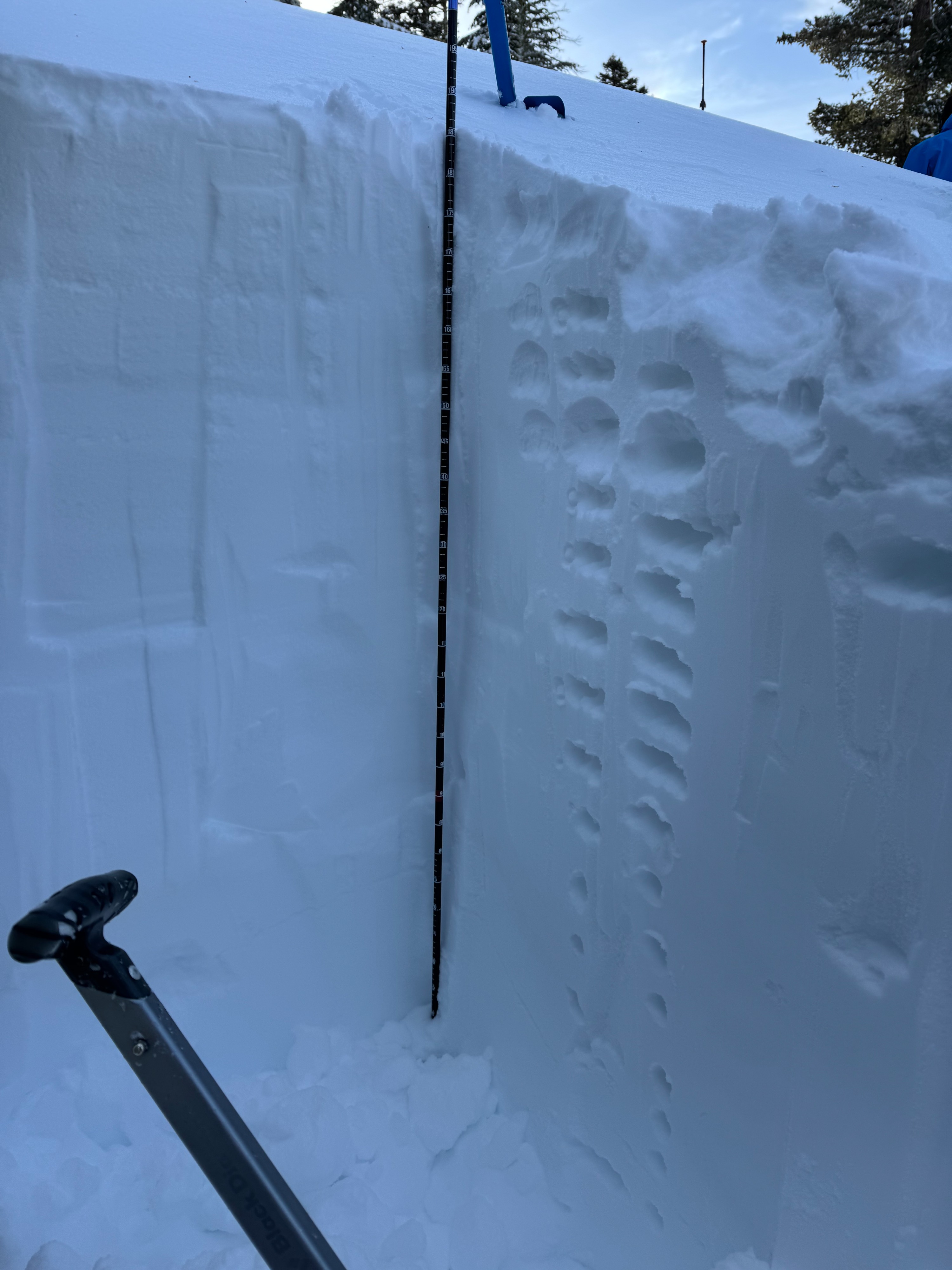
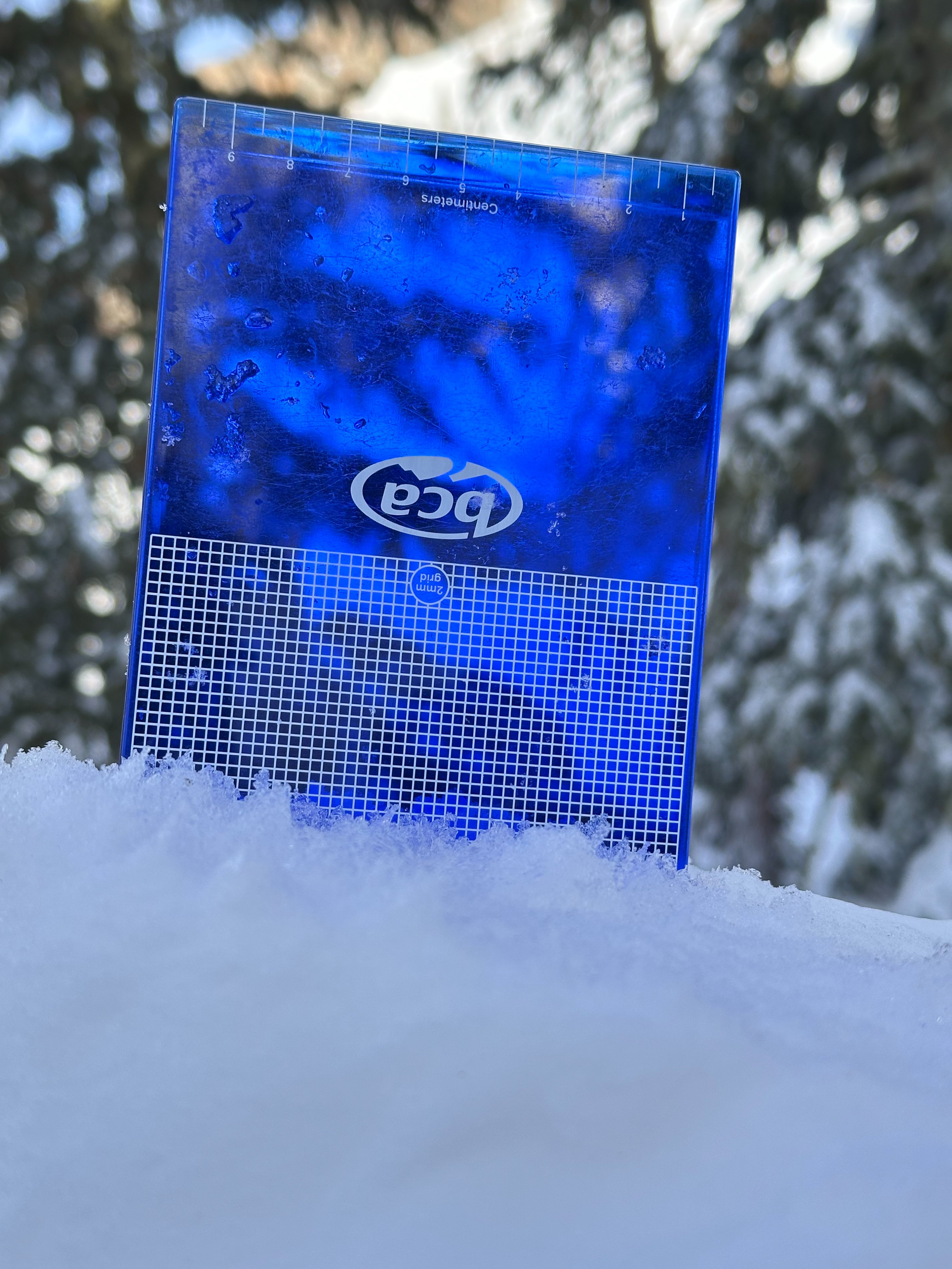
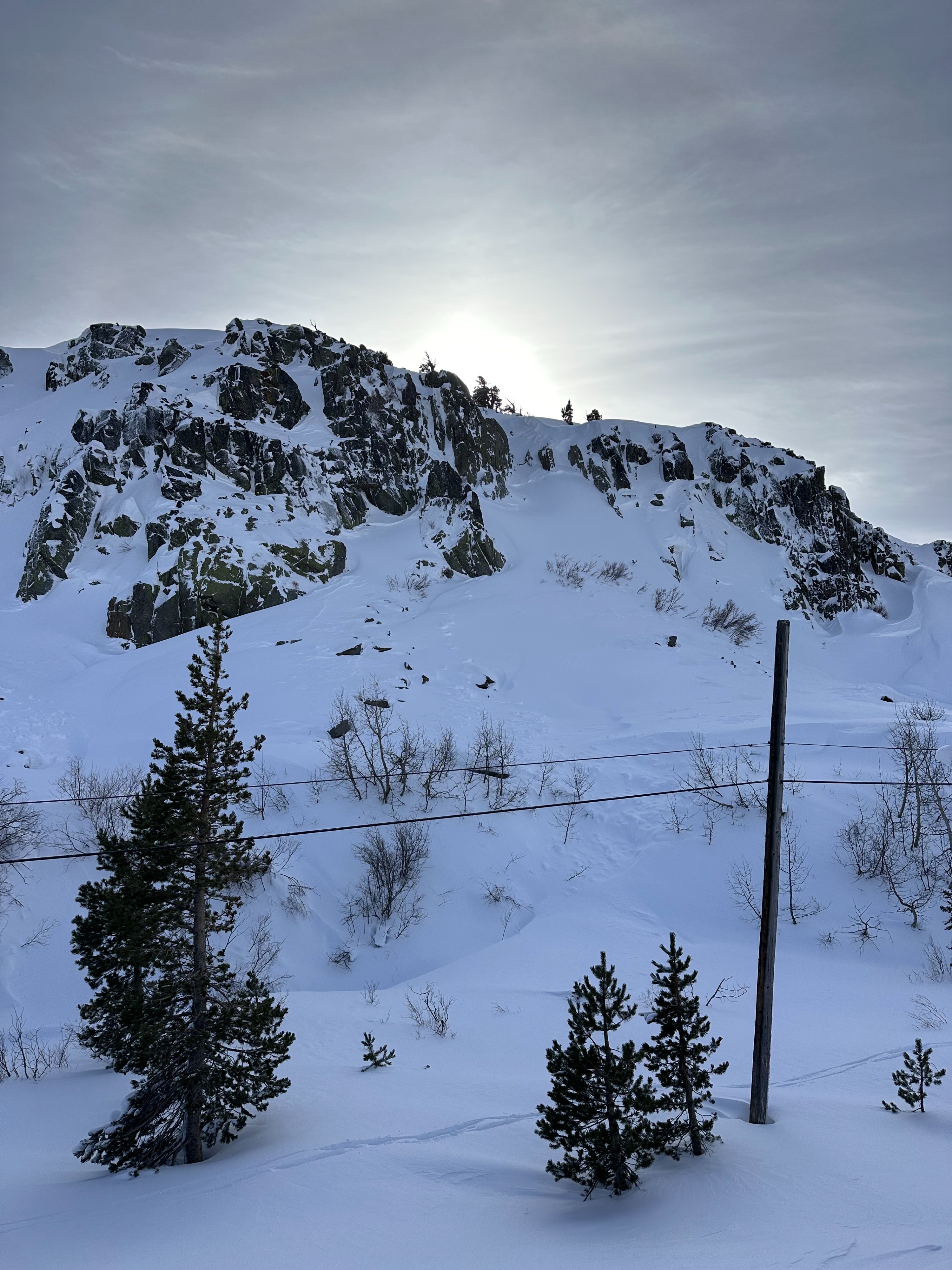
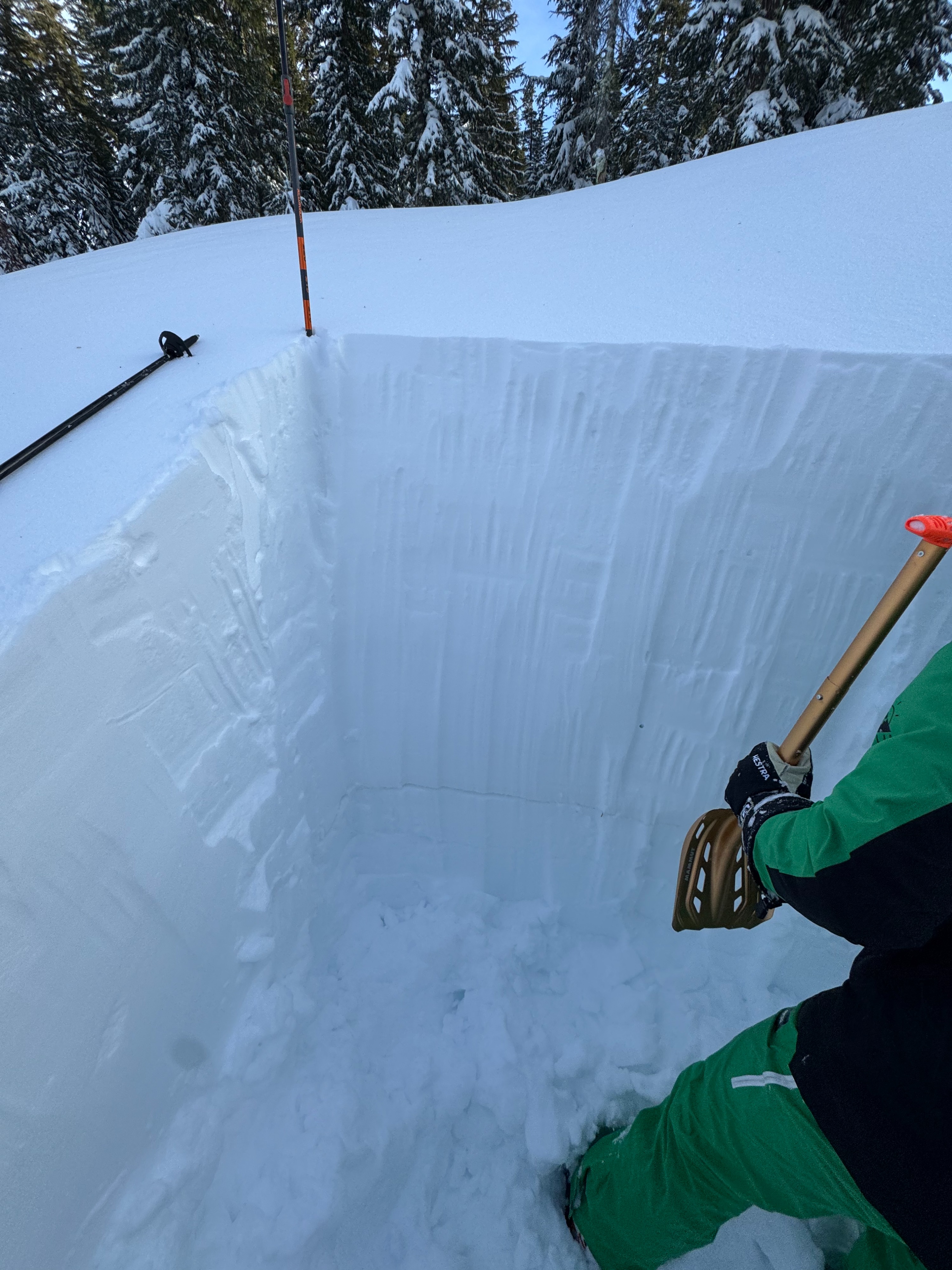
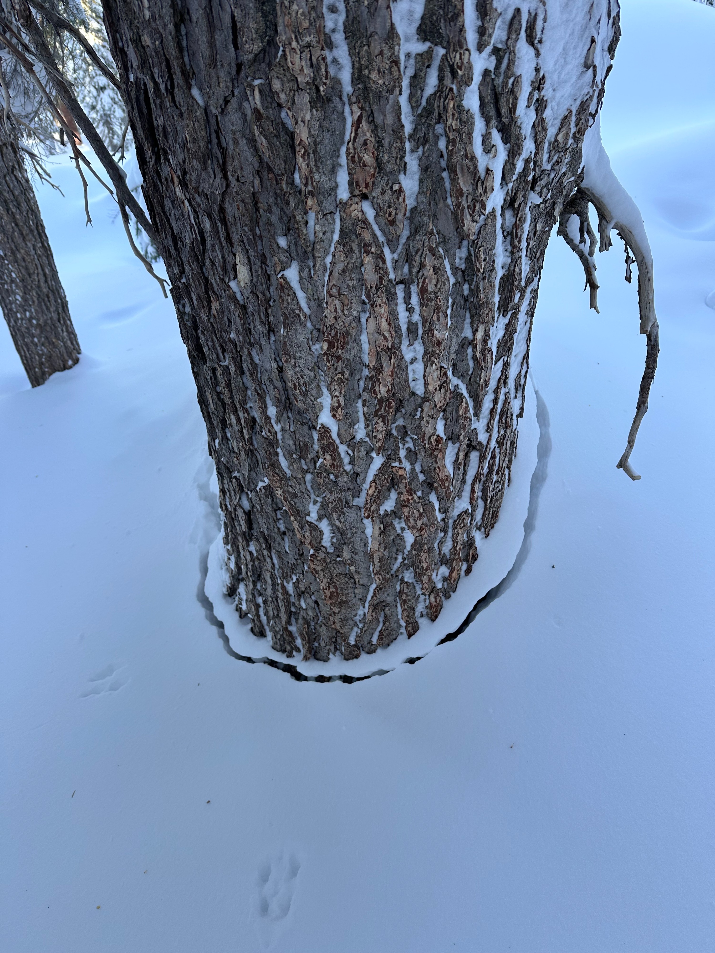
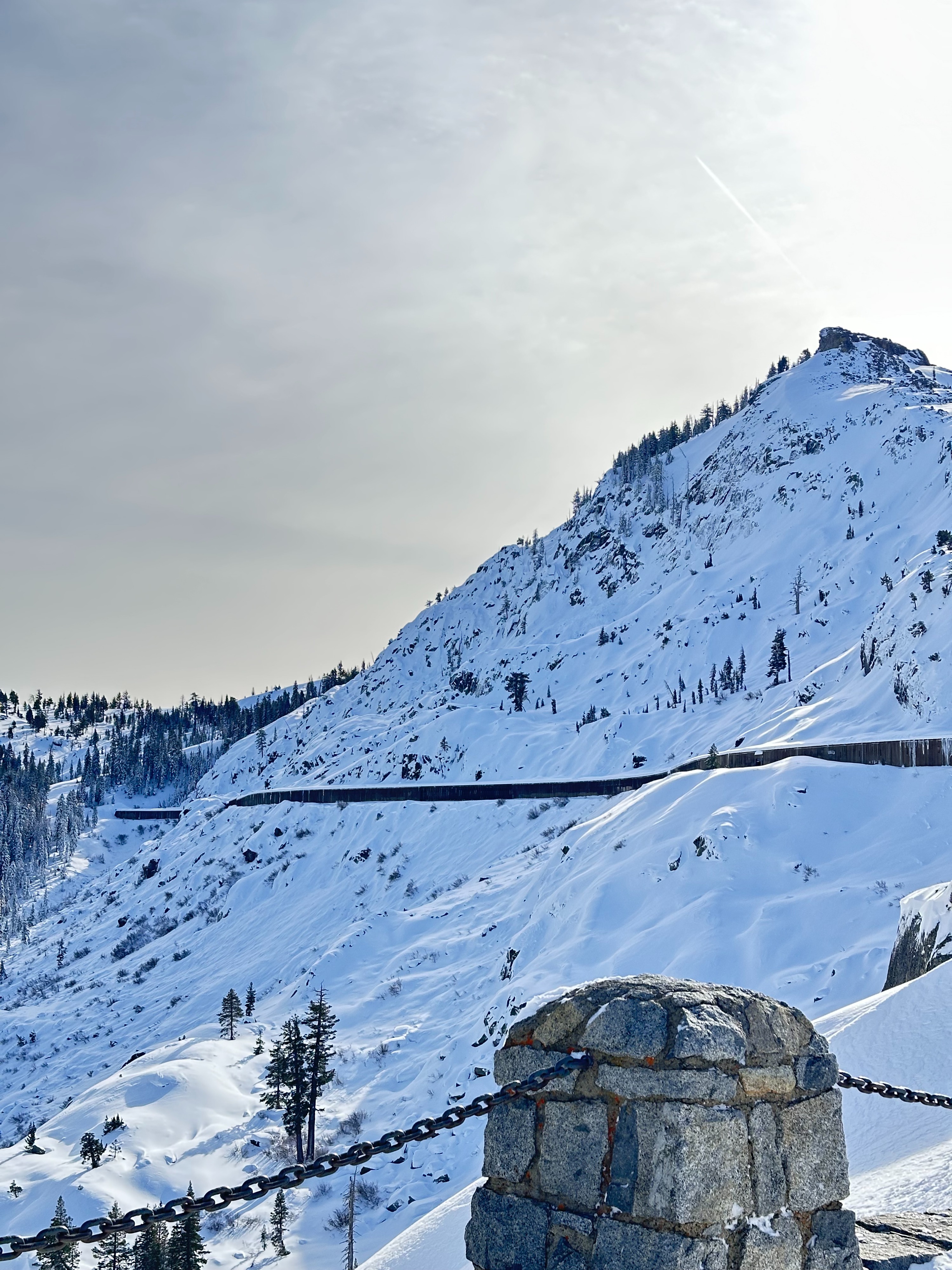
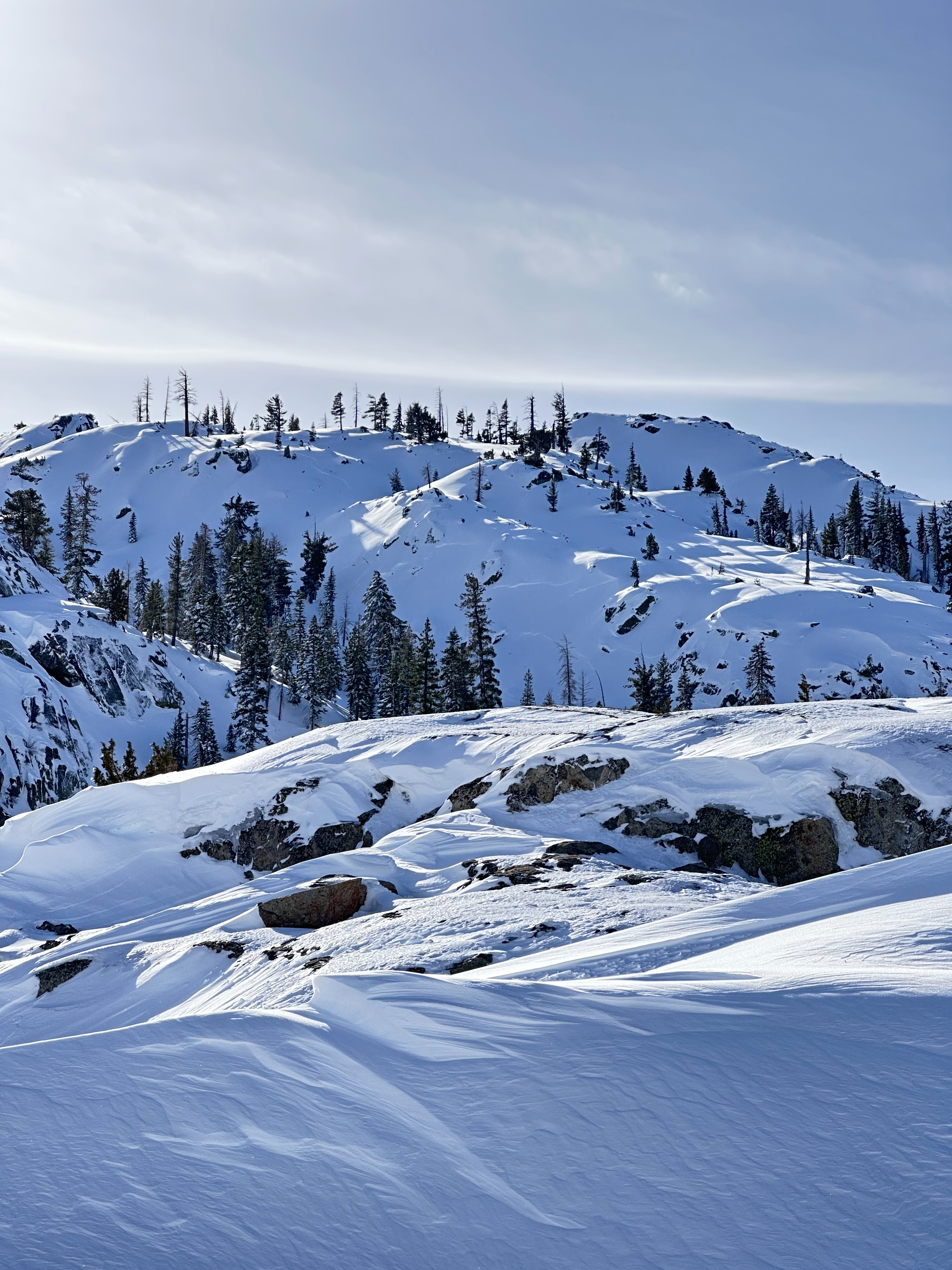
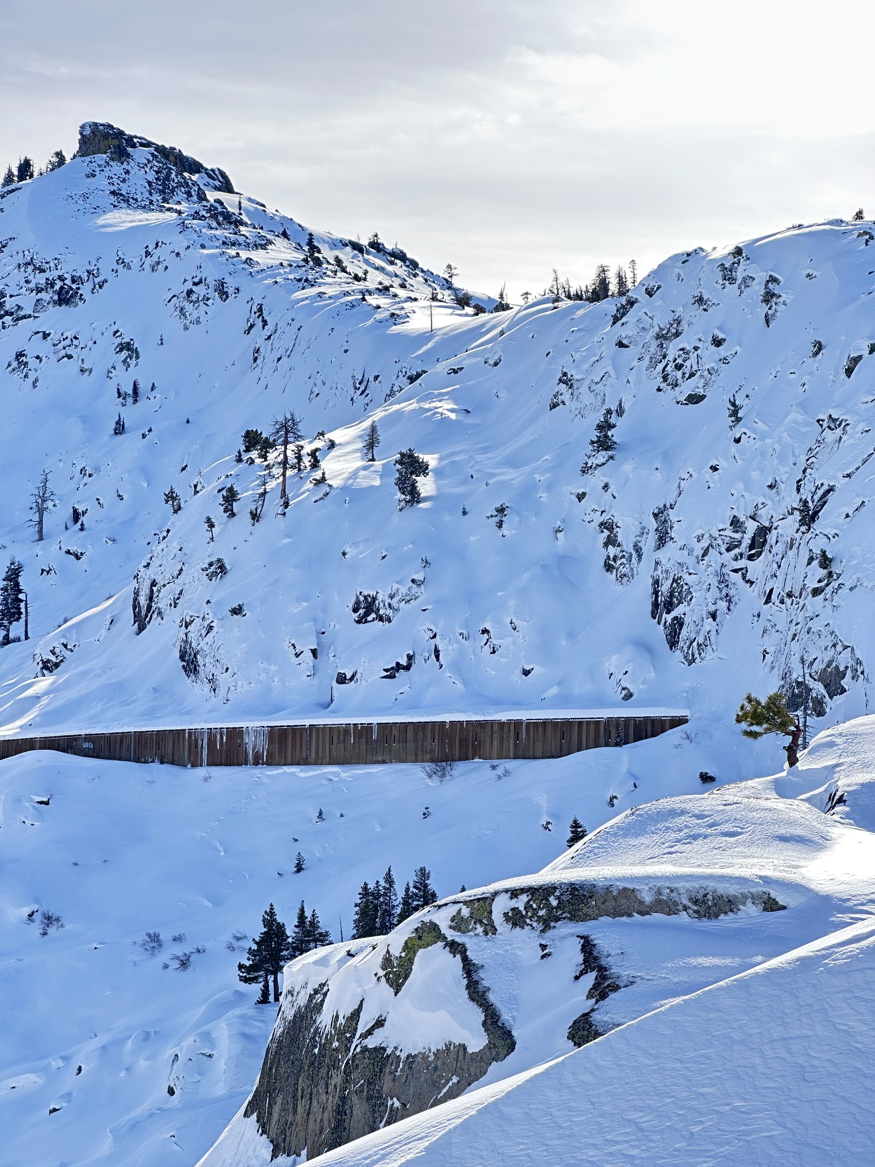
Our AIARE 2 course met at the rainbow bridge overlook for our second field day with the intention skinning up towards the Judah/ Donner saddle to gather data on the December 12 PWL and to get the lay of the land as far as snow conditions after our Saturday storm. On the drive up to the overlook I could see evidence of several D2 avalanche crowns near the snow shed across Donner Peak- and one in the "waterfall " gully above the china wall. Most of the crowns showed wide propagation that appeared to have failed deeper in the snowpack and then were partialed veiled by storm snow. I assume most of these avalanches occurred mid day to late afternoon yesterday (Dec 14) based upon the amount of new snow covering both crown and debris. We proceeded up from the snowshed parking area to the old rail line- stomping on several small cornice features and other test slopes to get a feel for the sensitivity of the forecasted wind slab problem. It took a lot of effort to crack cornices or get much slab to move on our test slopes- limited propagation and very stubborn. Further along our tour we saw more evidence of natural avalanches to the lookers right of "poop chute"- these were smaller, D 1.5 in size but had wrapped around corners in the terrain, appeared to have failed on the old new snow interface in rockier portions of the terrain- also of note one lobe of the debris ran all the way over the bench into the drainage- although small, shows odd avalanche characteristics for the size of the terrain. We proceeded up towards Flower ridge and took a detour due east to some of the rolling sparsely treed terrain below the Judah/ Donner saddle to dig snow pits trying to find any presence of buried surface hoar and buried CFsc in this zone. We noted numerous settlement cones around tree trunks indicating snow settlement and potential slab formation. Our class dug two pits on slightly different aspects at 7700' on a north facing piece of terrain. HS location was 180-210CM. Looking at our pit walls, we could easily identify a layer of surface hoar on top of rounding facets about a meter down from the snow surface. The slab above the SH was right side up- trending from Fist to four finger to 1 finger hard above this layer of concern. We conducted several CTs that scored from CT M to CT H all with Q1 sheer character as the layer collapsed suddenly in all tests. We had a VERY odd ECT result as we collapsed the SH layer in one pit during isolation while cutting with a cord- and it appeared to have visually collapsed the layer in the pit wall adjacent to the ECT column we were isolating. We tried to repeat the ECT but due to the SH collapse we produced an ECTX- this didn't align well with out CT scores previously... We utilized the farthest wall of the pit to conduct a PST which scored 35/100 END on the SH. Unfortunately at this point we had to fill in our pits and began our exit from the field as we were running out of day light. It would have been worthwhile to dig in another nearby location to try and see if we found similar results on the December 12 SH nearby but unfortunately we ran out of time.
Weather
- Cloud Cover
- scattered
- Wind Loading
- previous
- Recent Snowfall
- 100
- Snow Avail For Transport
- moderate amounts