
Weather
- Air Temp
- 27
- Cloud Cover
- scattered
- Wind Loading
- light
- Snow Avail For Transport
- moderate amounts
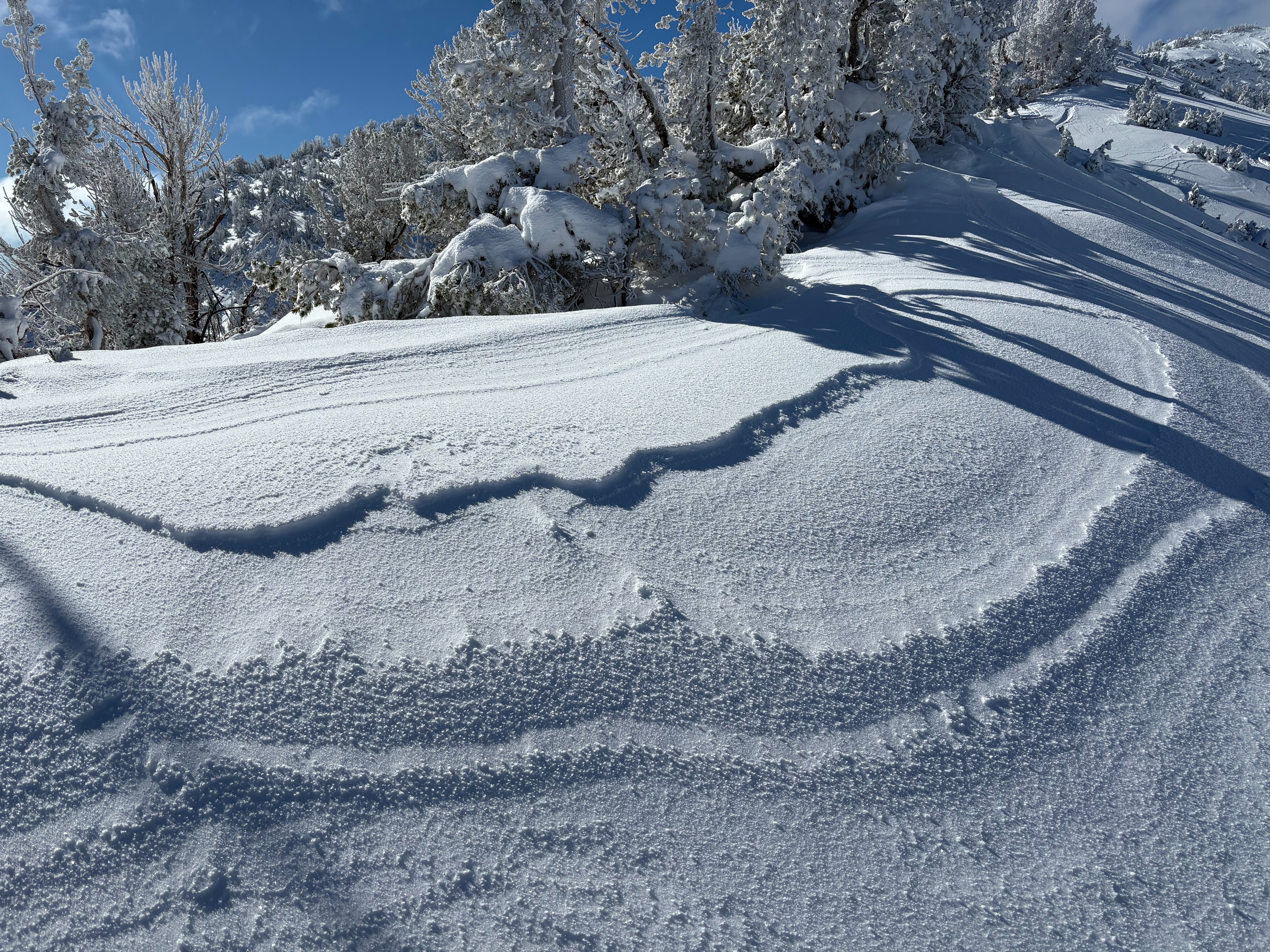
Decreasing clouds and fog into midday with a good amount of sun. East winds were light to moderate along exposed ridges with some light wind scouring above 9600'.
Snowpack
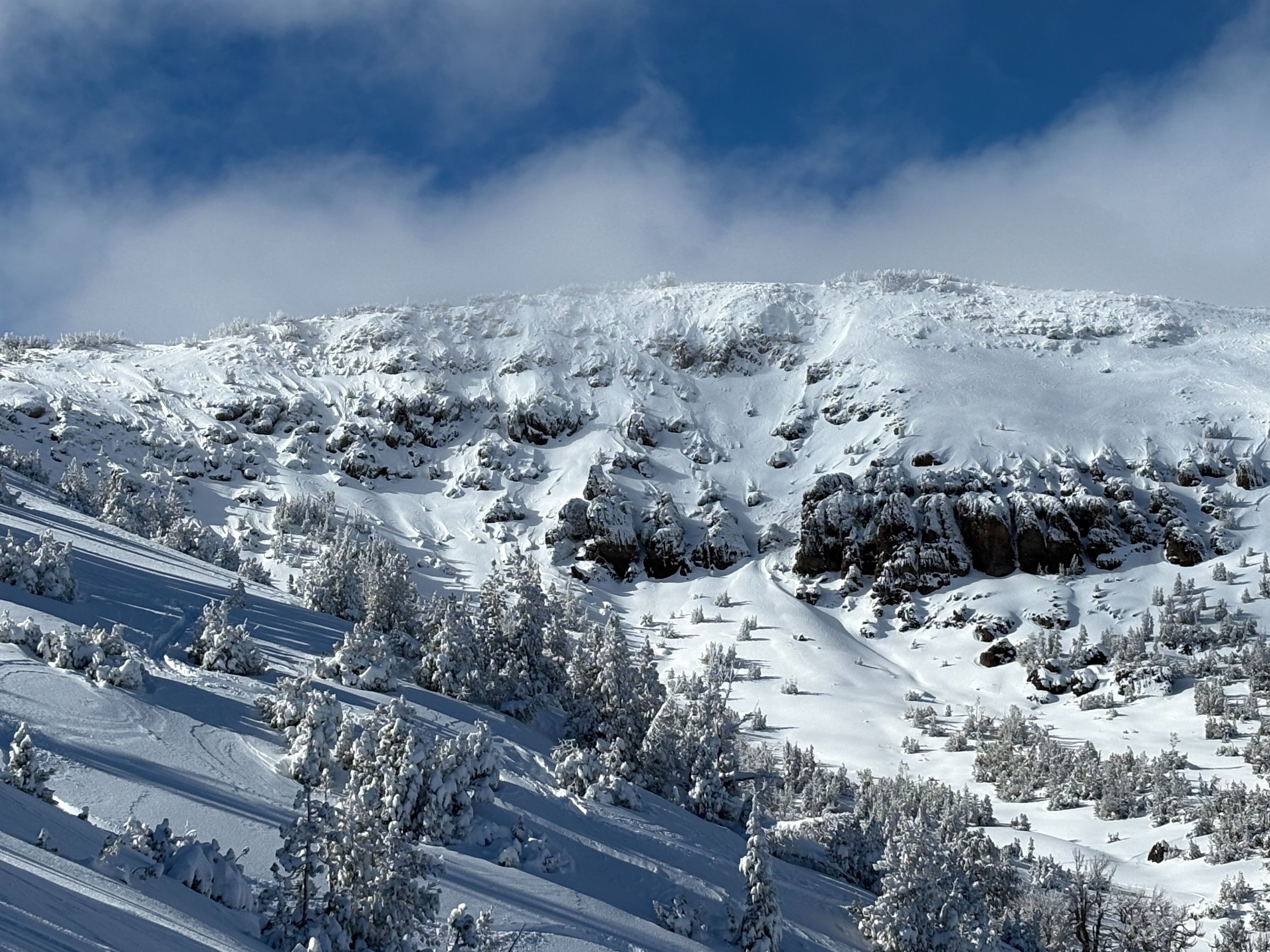
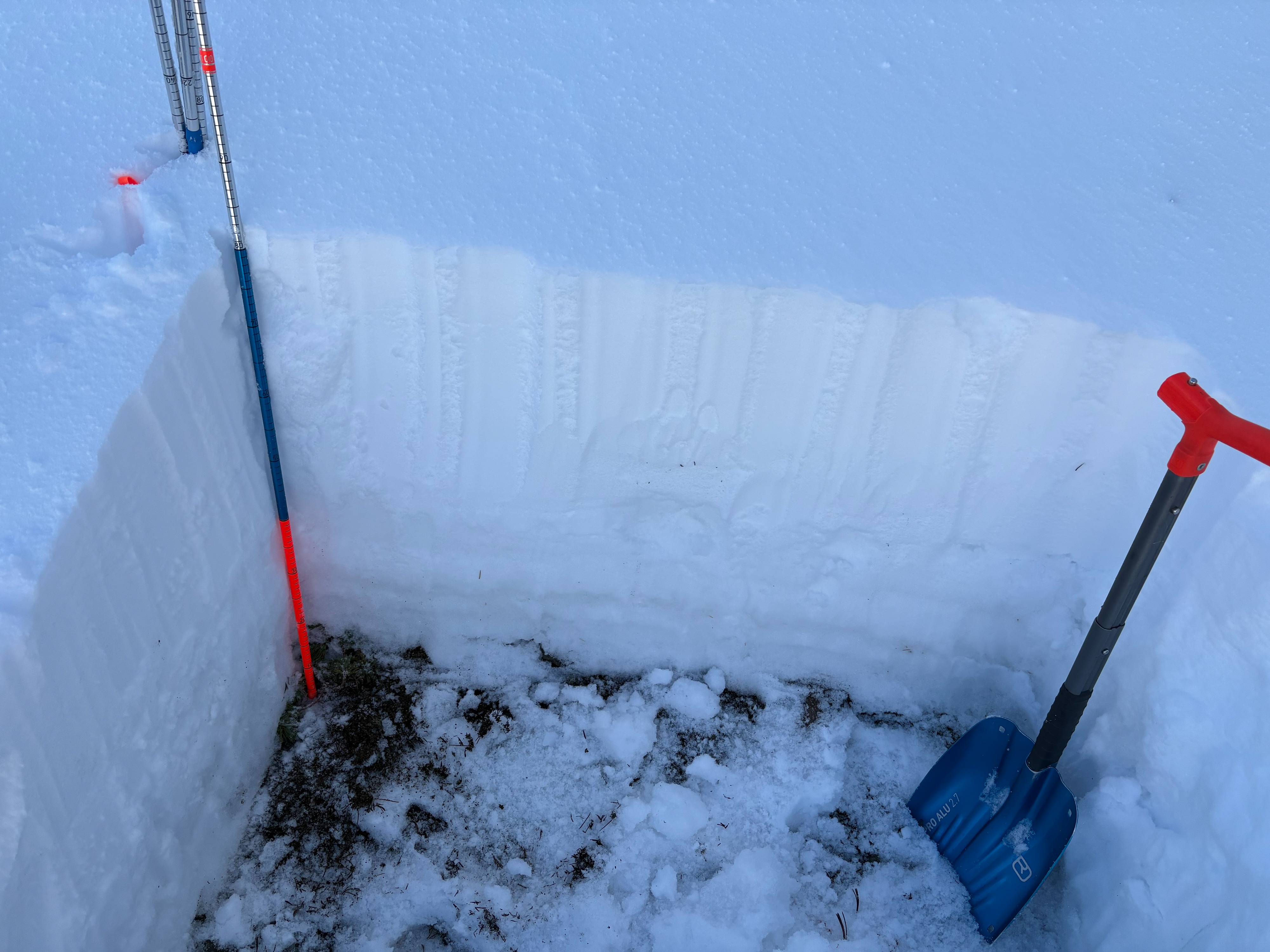
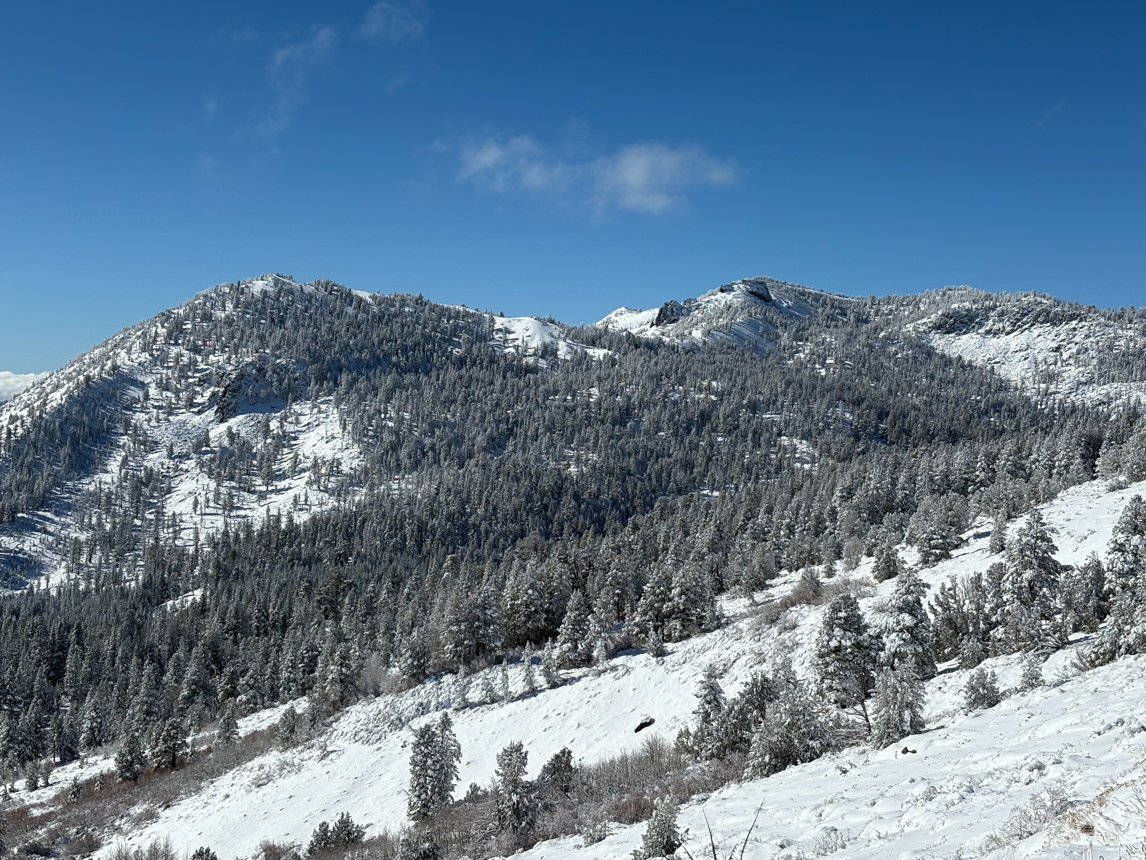
I went to Relay Peak today to make snowpack observations. Recent storms have deposited around 1-1.5' of new snow in this area over the last few days above around 9000'. This new snow sits on top of previous older snow from storms in October/early November limited only on Northerly aspects above around 9000'. High elevation rain events have wetted this older snow near the ground and this snow is in the process of going from weaker faceted grains to wet grains. While this snow near the ground is gaining strength as it refreezes, it did show some weakness with a snowpack test today. Above 9200' on northerly aspects in this area, the snowpack was supportable for ski travel. Changing aspects off of North, or going below 9000' resulted in around 1' of mostly dry snow on top of dirt, rocks, logs, and bushes. Getting to and back from the few spots where supportable snow exists is challenging at this point.