
Quick report
- Cracking
- isolated
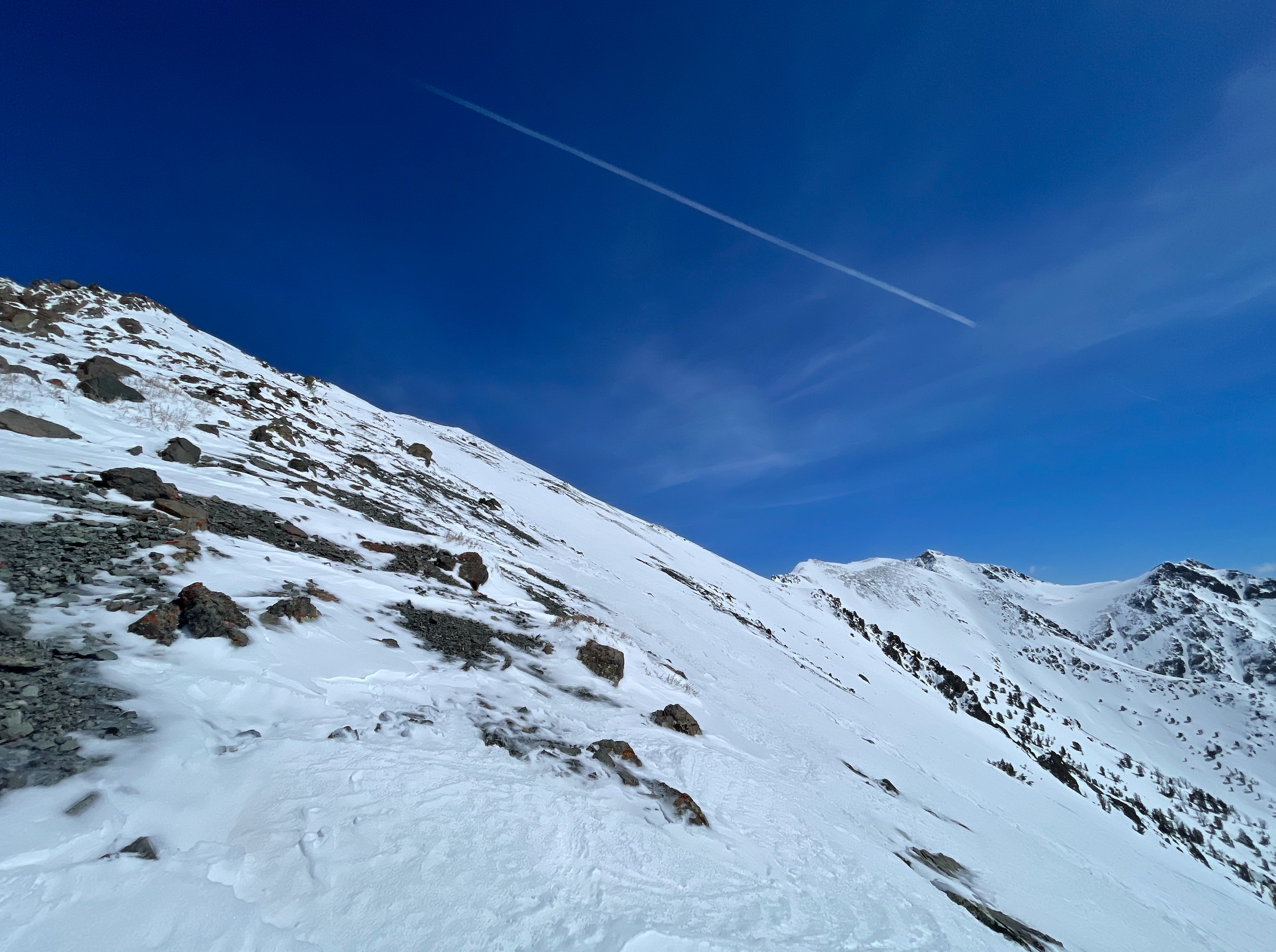
Just some surface cracking (25cm deep) on wind-loaded test pockets near the top of the S face of Easley. Did not trigger an avalanche, however was not trying to get sporty with an almost half-mile wide start zone above me— only collect information to aid in decision making. The presence of deeper wind slabs than expected, timing, and ski quality all led me to close the main S face shot on the fly which was open terrain for me for the day when leaving the truck.
Weather
- Cloud Cover
- clear
- Wind Loading
- moderate
- Snow Avail For Transport
- moderate amounts
Skies were mostly clear, with a band of thin, low hanging clouds slowly burning off near 11,000' near the summit of Cerro Ciento south past Easley. Variable moderate winds with strong gusts were sustained throughout the day, with a general trend of more consistently blowing from the NW as the day went on. Higher winds than forecasted and expected, showing the limitations in our weather station network which is mostly at middle to lower elevations. The nearby Titus Peak wind readings did not even reach moderate speeds, while I was almost blown over multiple times in my bootpack in the Boulders. Cloud cover all burned off before the afternoon and the sun remained strong and high. While the temperatures didn't get that warm ambiently, the solar input was intense especially on steeper slopes. Plumes of blowing snow could be seen on ridgelines from the White Clouds to the Smokys to the far east Boulders throughout the day.
Snowpack
Surfaces were slick and supportable in the Boulder foothills and up the SW ridge of the toe Easley up to 9600'. Having pulled out the toe piece from my other skis yesterday and being on short, soft, powder skis with no edges (my rock skis) I ended up booting (with crampons) the majority of the elevation up to 9600'. At 9600' up, there was consistent coverage of wind-drifted snow 25-30cm deep with soft surfaces overlying the MFcr from our last heat wave. From 10,600' to the summit, a mix of wind stripped surfaces down to a firm MFcr, to 20cm thick soft, moist sastrugi, to 25-30cm slabs of wind-deposited snow. An overall takeaway, observed during the heat of the day, was that melt water was percolating down through the new surface snow but not penetrating our recent stout heat wave MFcr.
I was able to get surface cracks to propagate a max of 8' out from my skis in a very wind loaded pocket near the top of the S face of Easley. There was more wind loaded snow present than expected, though the wind slabs appeared to be quite stubborn — from my observations, you would have had to find just the right spot next a convexity, rocks, etc. to trigger a sizeable slide. Wind loaded surfaces combined with the solar input made for semi-supportable surfaces on top of moist, wet snow above the stout heat wave crust. Picking my way down from the summit before the steep rollover into the main S face, I decided to close the main shot of the S face due to uncertainty around the recent snow.
On my exit, surfaces above 10,800' was variable, wind-textured and firm. From 10,800' down to 9300', well-done corn skiing on a SSW aspect, and 9300' and below was perfect corn. The more severe melt in the surface snow at middle elevations, with less at lowers, goes to show the effects of solar input as you climb in elevation even when the ambient temperatures are quite cool.
Avalanche
No new avalanches observed.