
Quick report
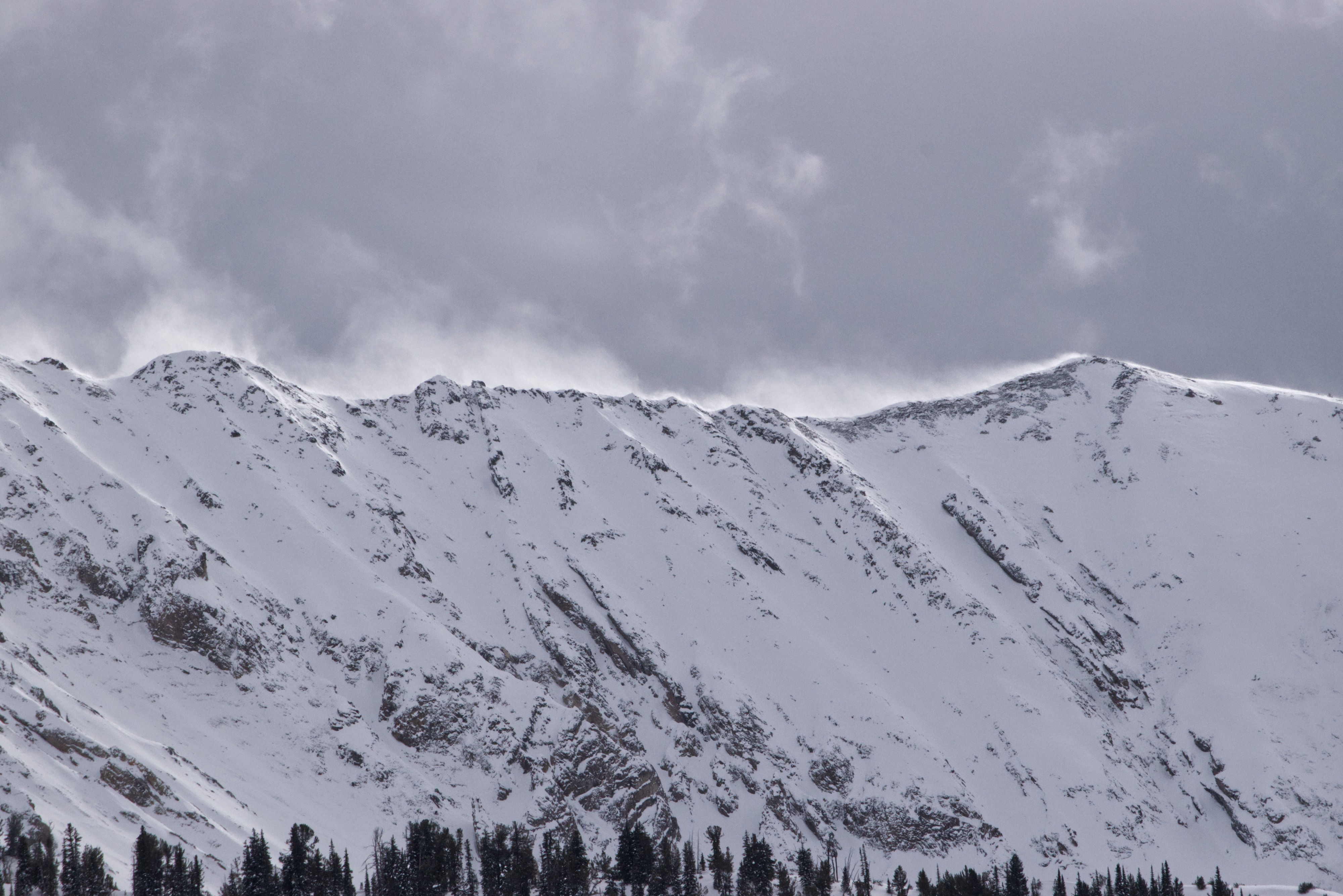
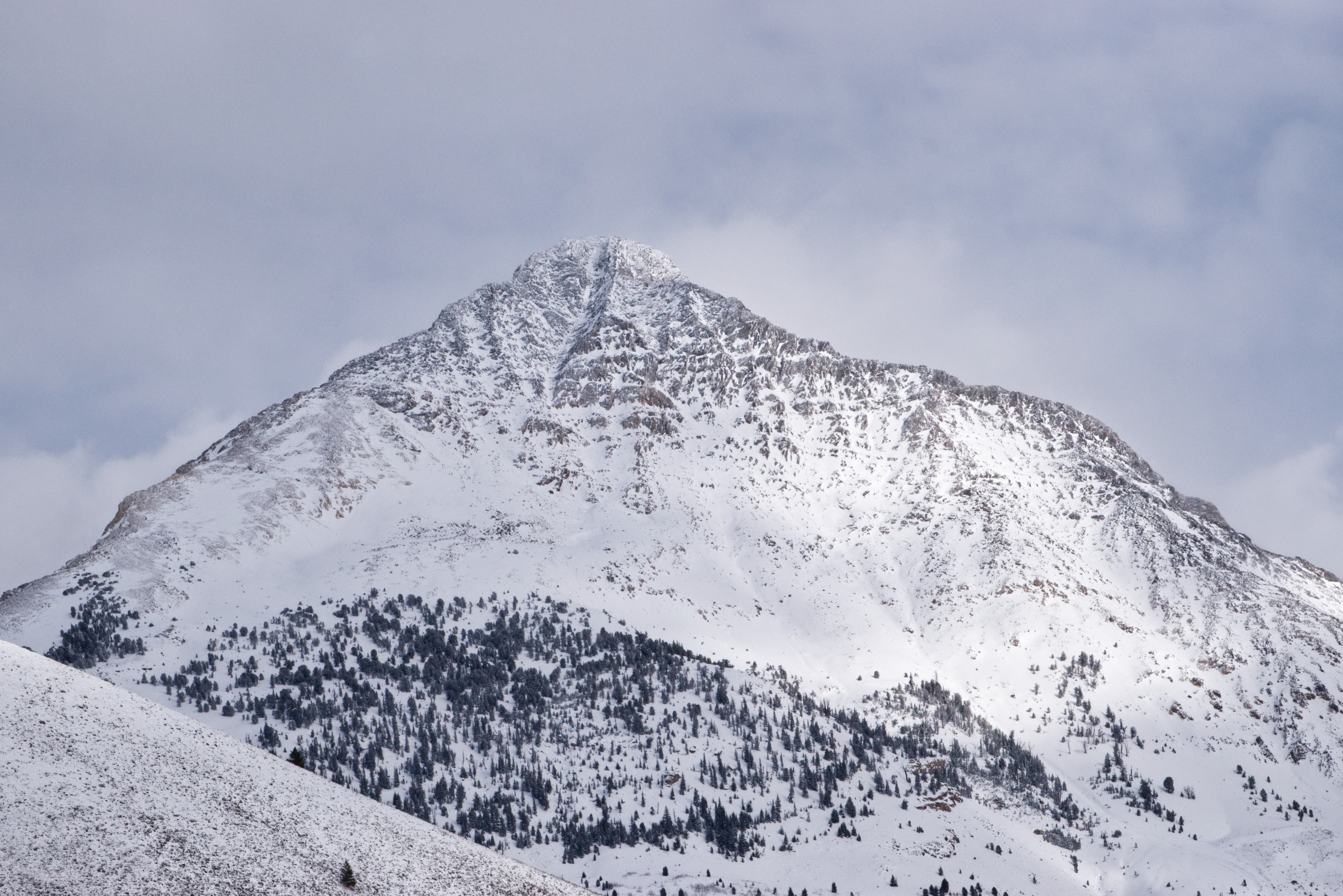
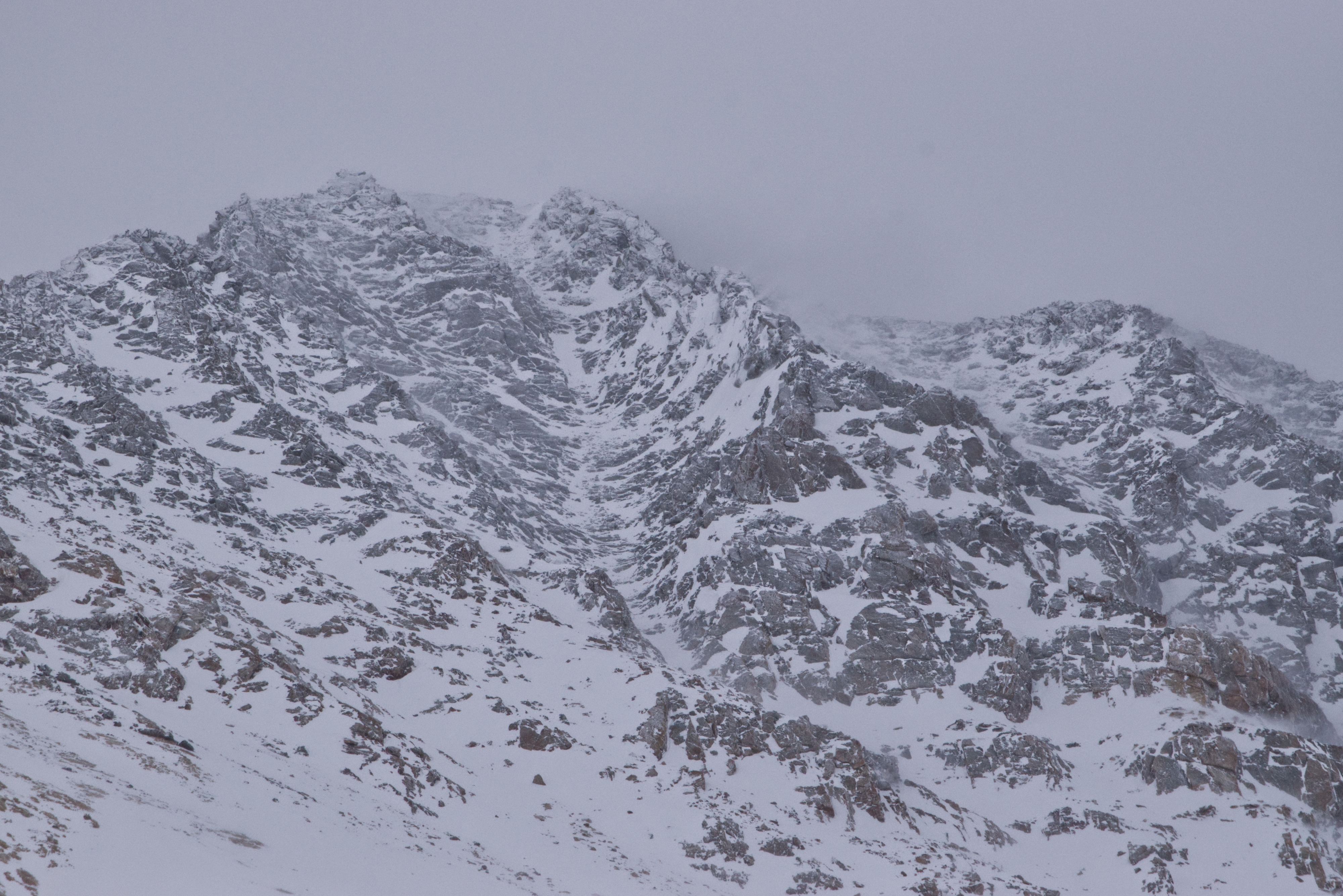
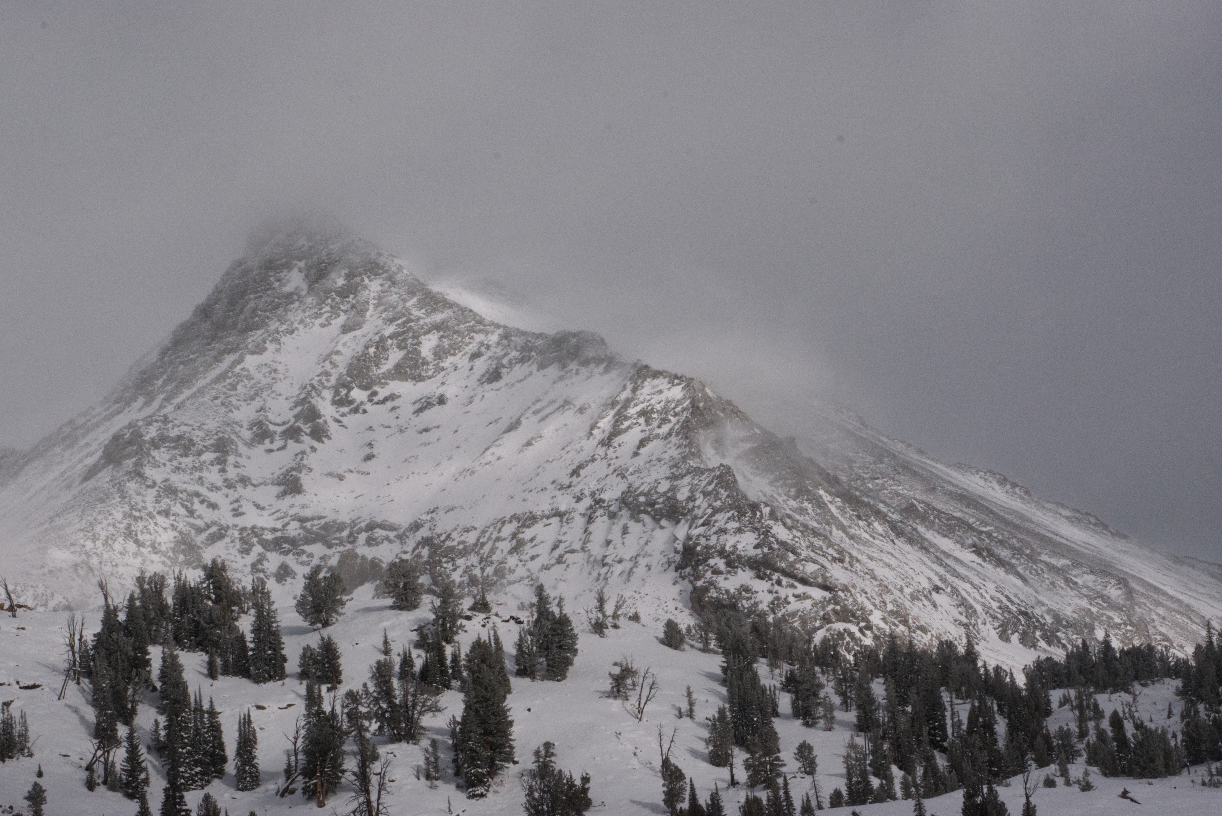
A crust was present for most of the approach, though it was more breakable at lower elevations where temperatures remained above freezing. The rain line disappeared around 8,500 feet, and the snowpack deepened significantly beyond that point. When the clouds cleared, I observed natural avalanche activity on mid-to-upper, north-facing slopes with wind loading. These avalanches exhibited persistent slab characteristics, with wide crowns on shady slopes where early-season facets are harboring. In contrast, south- and east-facing slopes were scoured bare by recent storms, offering a textbook example of windward and leeward effects shaped by strong winds.
Weather
- Cloud Cover
- broken
- Wind Loading
- moderate
- Rain Elevation
- 8500
- Recent Snowfall
- 3 cm
- Snow Avail For Transport
- moderate amounts
On and off S-1 with periods of S2 from 1030-1200. Active wind loading in the mid to upper elevations. Winds were SW shifting to WNW around noon. I was out of the field by 1400.
Snowpack
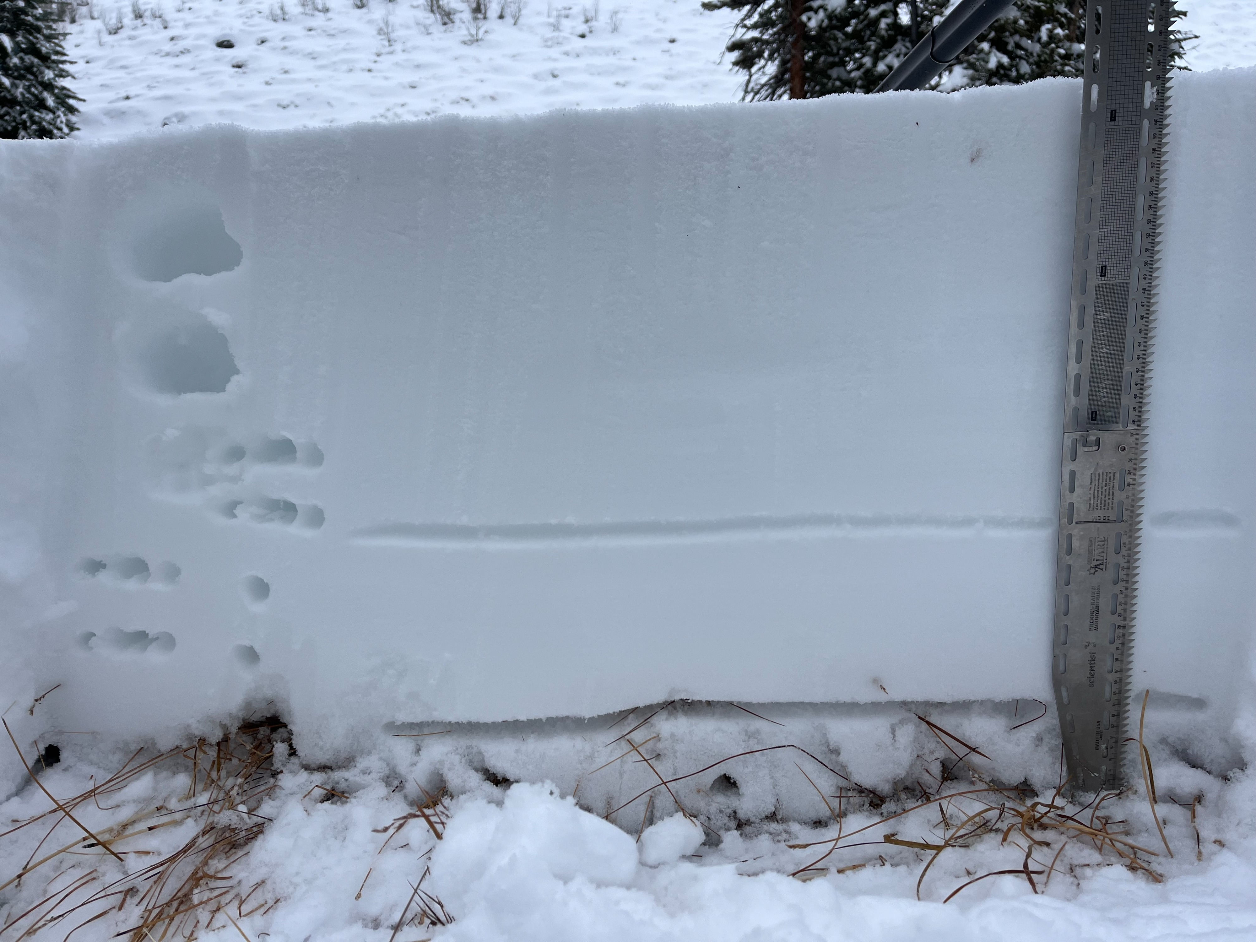
I dug in a more sheltered location near the yurt to get an idea of the structure. The recent 11/21 pulse was F+ to 4F and ~34cm thick. The new layer I believe was the 11/17 storm that was 15 cm thick and 4F to 1F hardness. Below these decomposing layers was 15 cm of moist facets that wasn't thick enough to produce any collapses at this elevation, but was the likely culprit for the natural activity.
Avalanche
- Size
- D2
- Count
- 2
- Aspect
- N
- Trigger
- N
- Elevation
- 9000 ft
These avalanches failed on weak, sugary early season facets and were likely aided to fail by wind-loading.