
Quick report
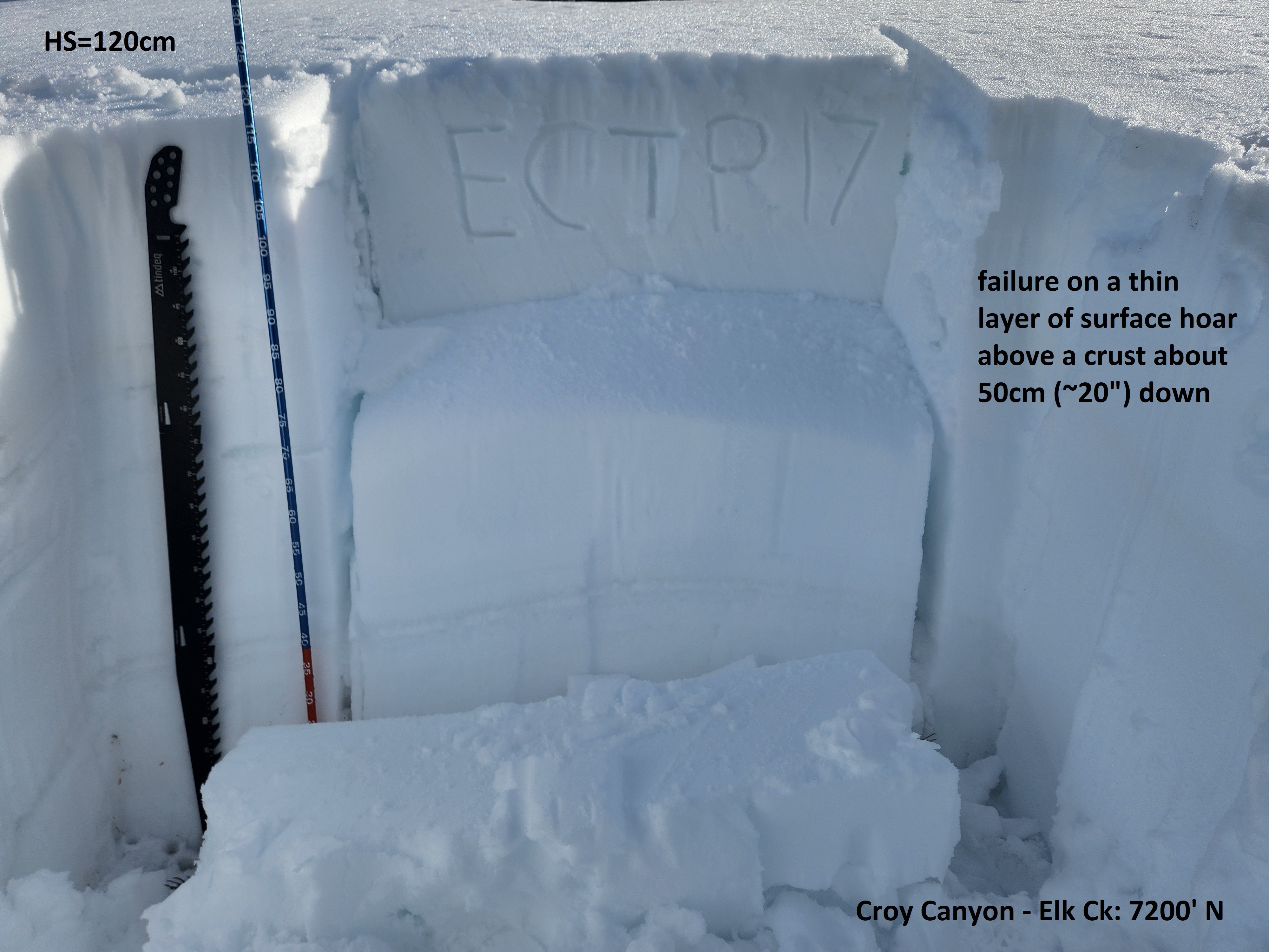
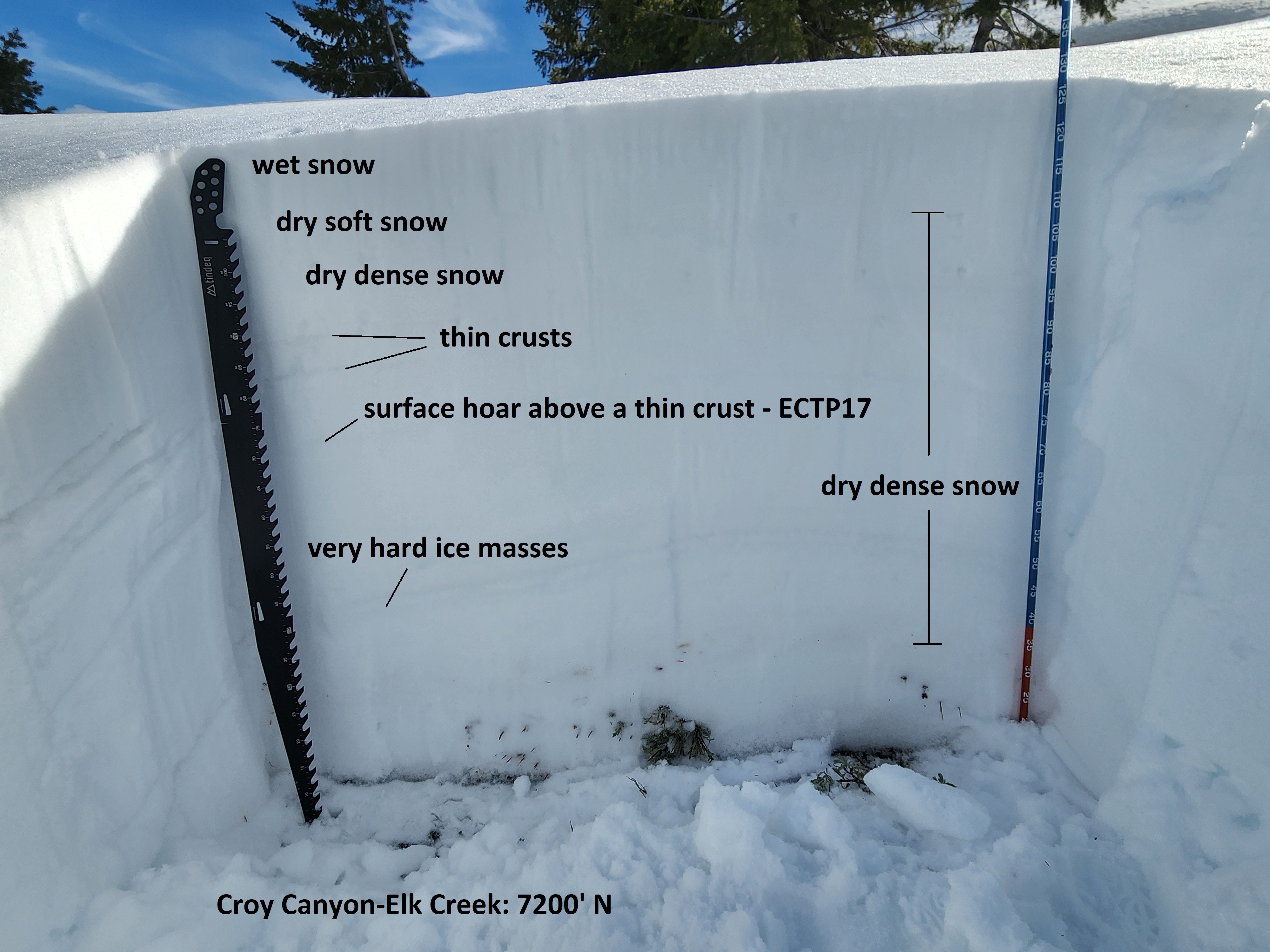
The recent warm spell did not push water very far into the snowpack on shady middle elevation slopes. Here, a layer of dry, intact surface hoar buried about 50cm (1.5-2 feet deep) produced unstable test scores. With today's slightly cooler, cloudier, and windier weather, wet avalanches were not that likely and less of a concern than in recent days. Lower elevation slopes were wet to the ground and not pleasant to travel on today - when/if they substantially refreeze, avalanches will be unlikely.
No red flags. But did have the first unstable snowpack test result I've had in awhile.Weather
- Air Temp
- 40s
- Cloud Cover
- scattered
- Recent Snowfall
- 0
- Snow Avail For Transport
- none
Partly to mostly cloudy, breezy. Gusty light W winds on the ridges.
Snowpack
Lower elevation (<6500'): Max snowpack depth=60cm except for isolated wind drifts around 1m. Where <60cm, the entire snowpack has undergone multiple melt-freeze cycles with meltwater reaching the ground. There were some rollerballs from the past couple days on N-NE aspects. The thicker/deeper drifts had a little dry/moist/damp snow (not wet/recrystalized) in the bottom third of the snowpack, but the other areas were mostly melt-freeze crystals and had established some drainage to the ground. Some places had supportable near surface crusts (from last night's freeze), but the crusts had broken down for the most part by 6 PM. Some shady aspects had another crust that had not completely eroded in the middle of the snowpack. Most areas were unsupportable to foot penetration/pole pokes and partially supportable with skis. At 6 PM, a thin razor crust had formed on the surface.
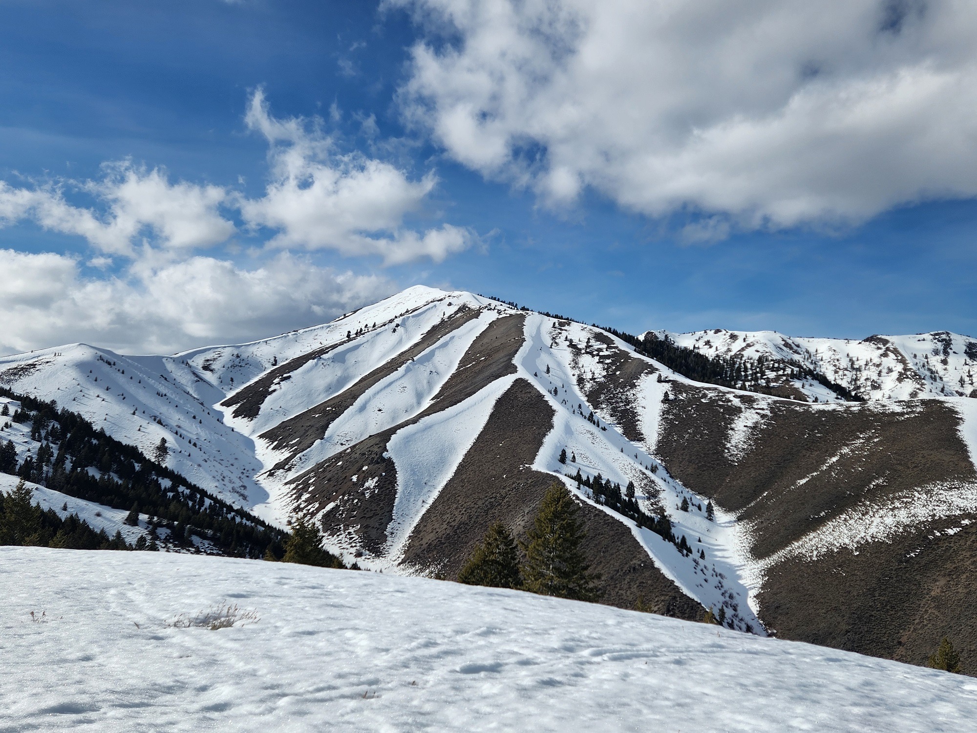
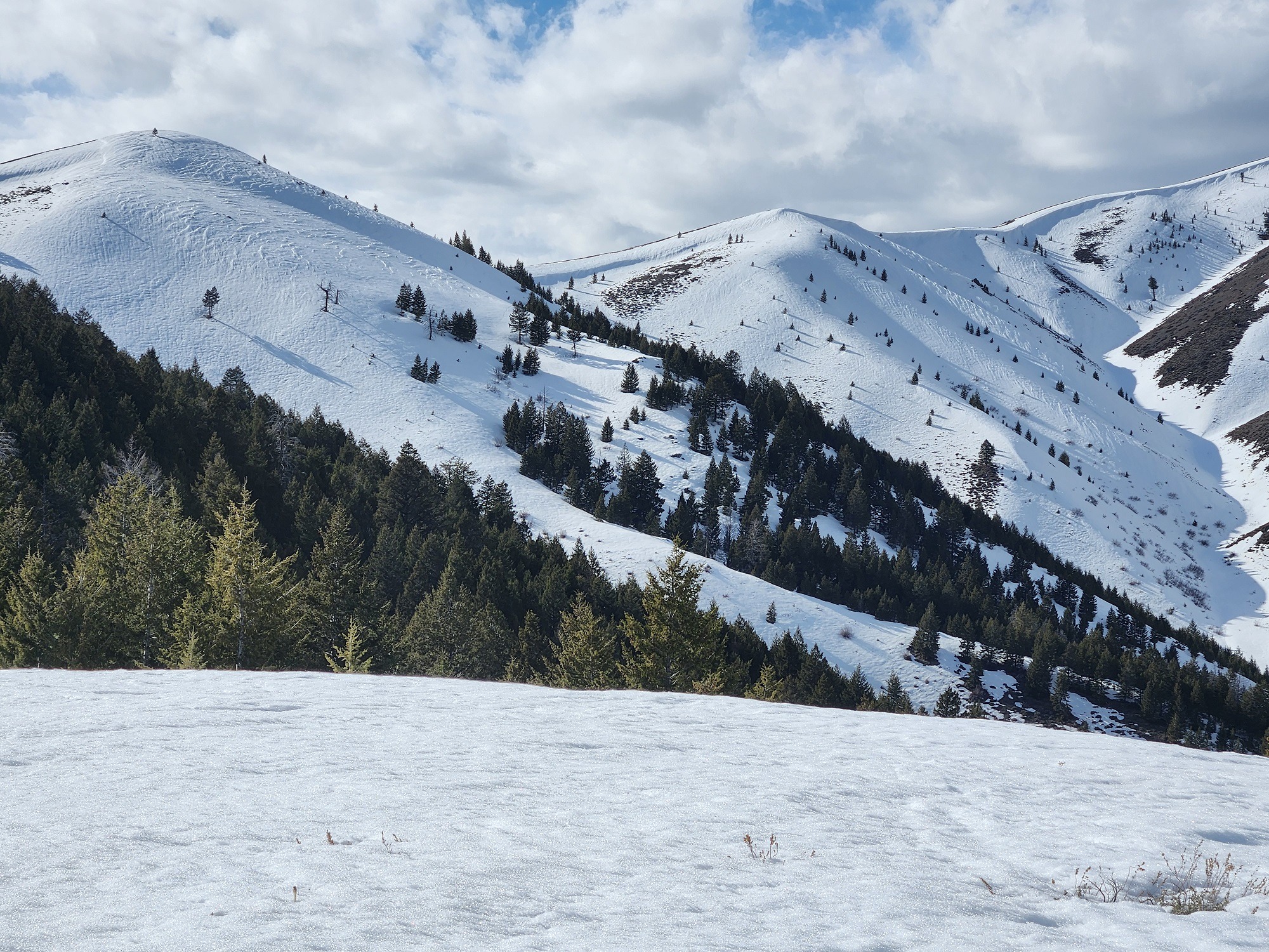
Middle elevation (6500-7300'): S-SW are dirt. Margins (W and SE) have thin snowpacks similar to lower elevations. Shady slopes get deeper quickly as you climb and have a lot of dry snow.
6500'-E/NE: HS=60cm, all wet except bottom 10cm was moist/damp and still had dry snow crystal structure
6800'-E: HS=130-150cm in heavily drifted areas. Wet snow for 1st 20cm, then moist/damp 20-40cm, then dry. Nice supportable corn at 4:30PM, razor crust at 6 PM.
7000'-N/NE: Surfaces had a lot of cooked SH. Top 7 cm was wet to moist, sitting on top of a razor crust. In the perfect place, you may have been able to trigger small surficial WL avalanches with this snowpack setup. Snow below the thin crust was moist/damp transitioning to dry (no melt freeze crystals below the top 7cm).
7200'-N: Pit (and photo) is on a 20* slope in an area that would receive some wind effect but is not an obvious wind-loaded site. HS=120-125cm. Cooked SH on surface. 2cm of wet snow (melt-freeze). Then 5cm of damp/moist snow. 120-100cm = well graded 4F-1F. Thin razor crusts at 90 and 83cm. Razor crust at 71cm with SH above, ECTP17. Thick ice masses with some mixed forms 39-47cm. The bottom 100cm was P, except for the crusts, ice masses, and thin PWL's. The snowpack was almost entirely rounds above 48cm.