
Quick report
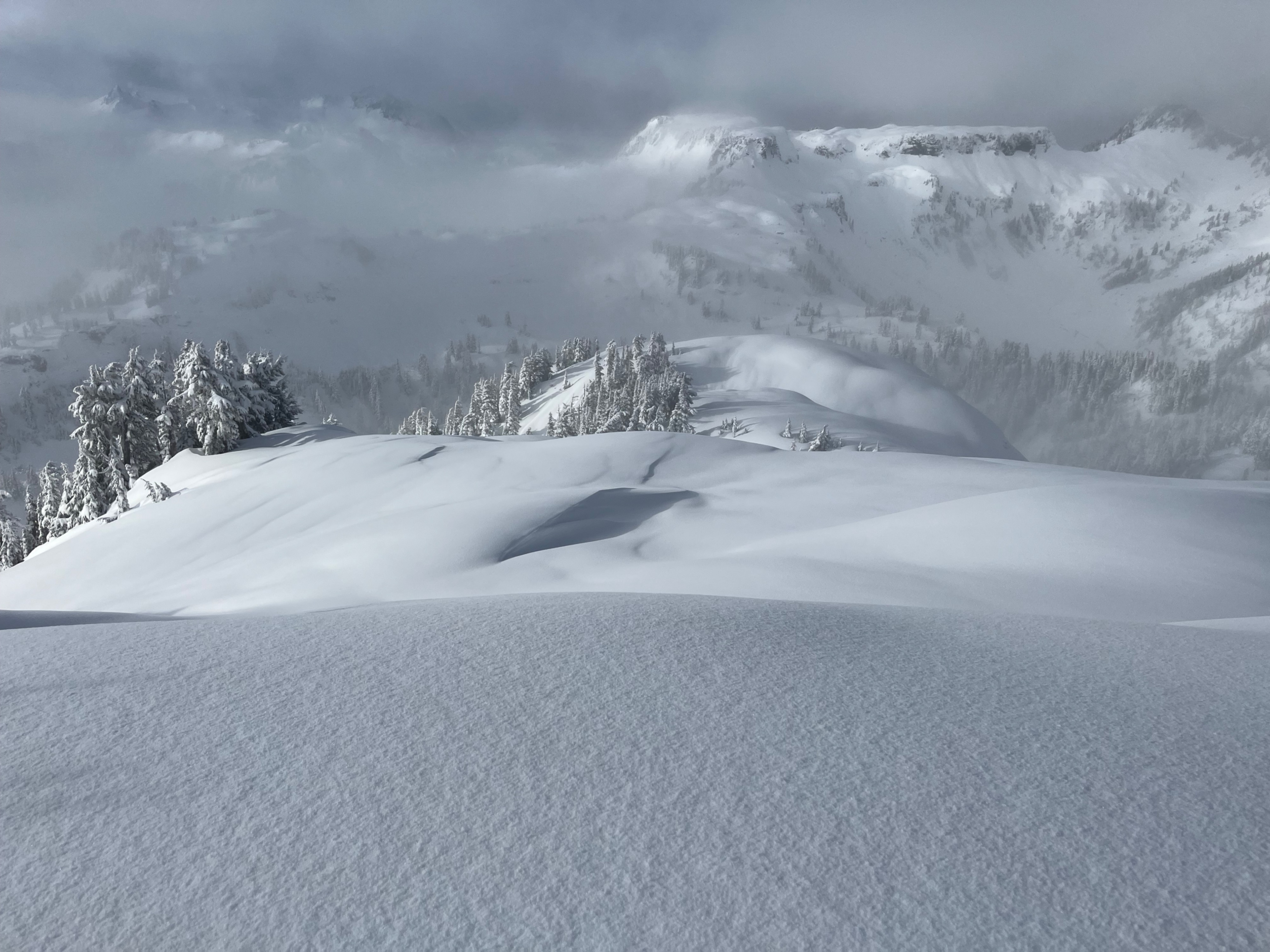
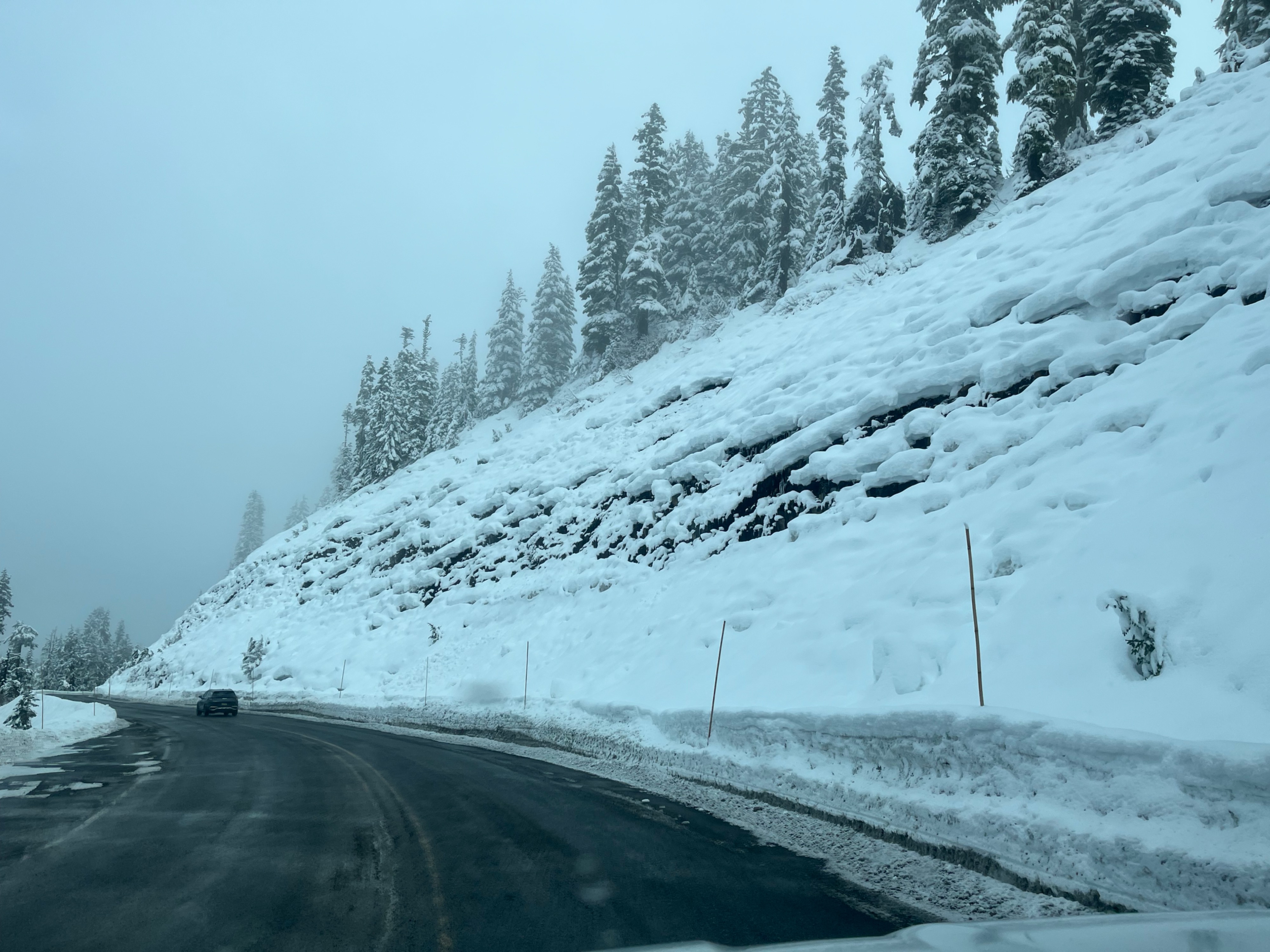
Peak instability in the foot of new snow appeared to be early morning when snowfall intensity was highest. Snow was right side up and quickly stabilized. The new layer was well bonded to the underlying crust.
Weather
- Air Temp
- 30
- Cloud Cover
- broken
- Wind Loading
- light
- Rain Elevation
- 2000
- Recent Snowfall
- 35
- Snow Avail For Transport
- large amounts
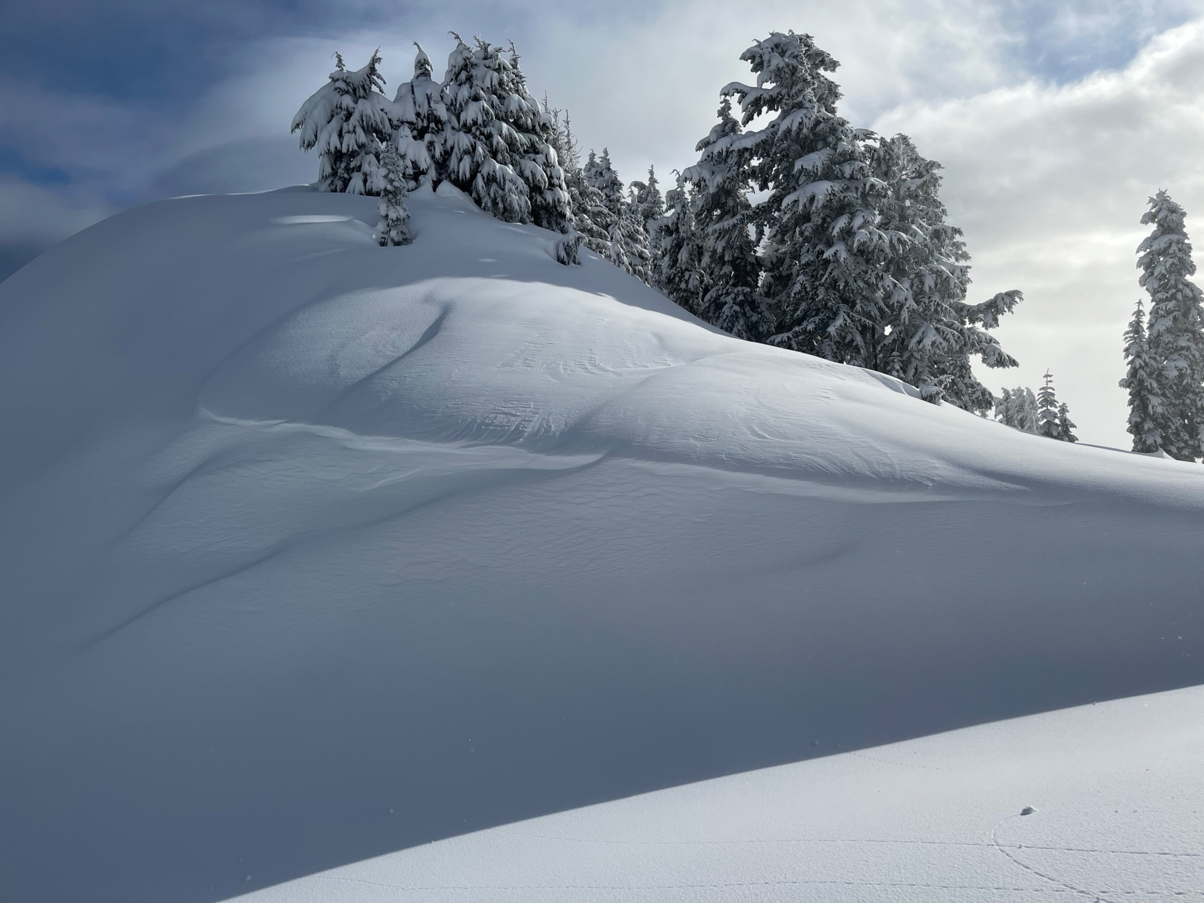
Skies varied from obscured to partly cloudy. Small amounts of wind transport visible above 5000ft.
Snowpack
Just over a foot of the snow fell last night. The snow was right side up and well bonded to the underlying 12/8 melt freeze crust.
A subtle mid storm interface about 6 inches down produced rough breaks in tests. Snow was moist and consolidated beneath the crust.
Avalanche
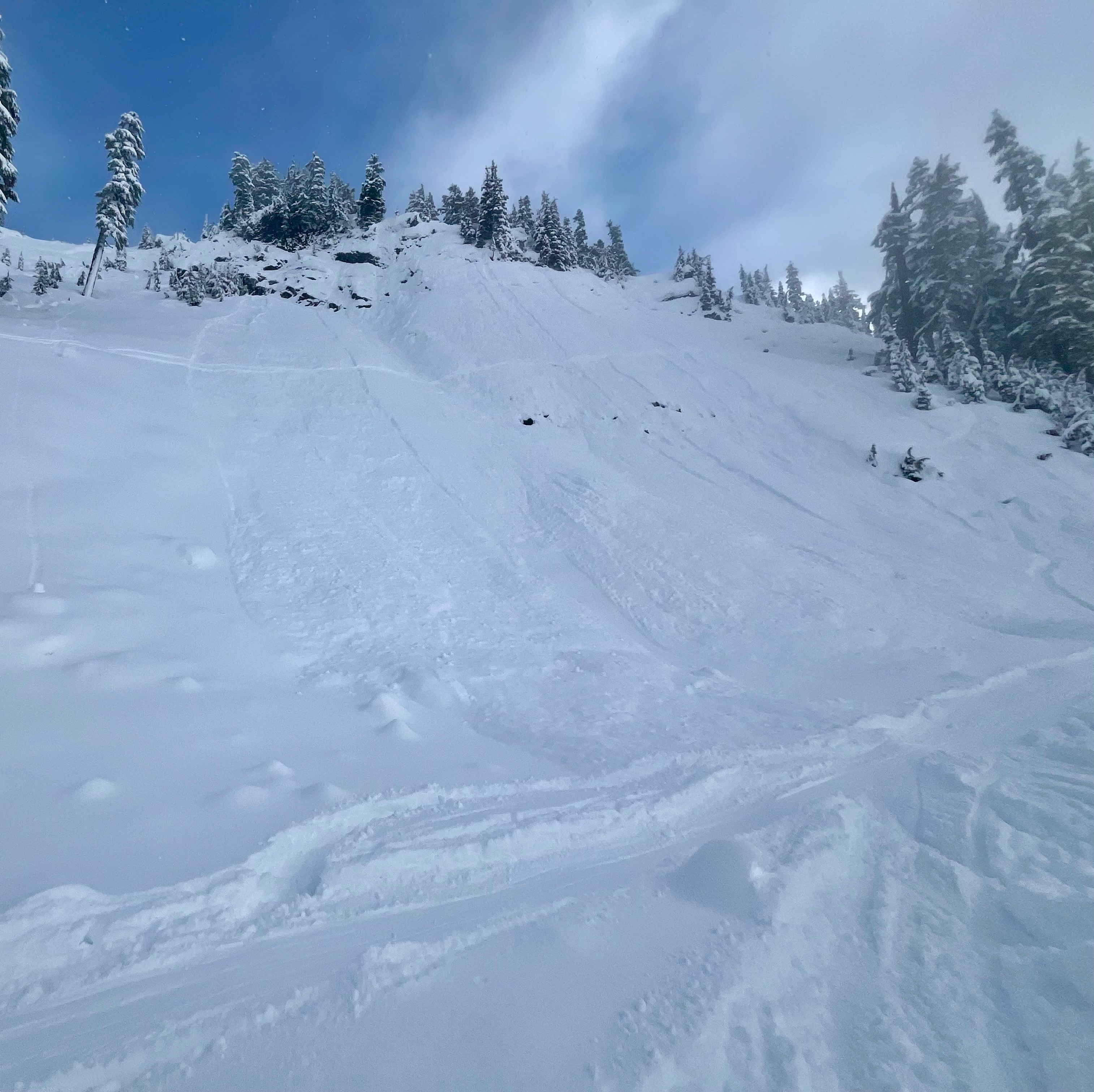
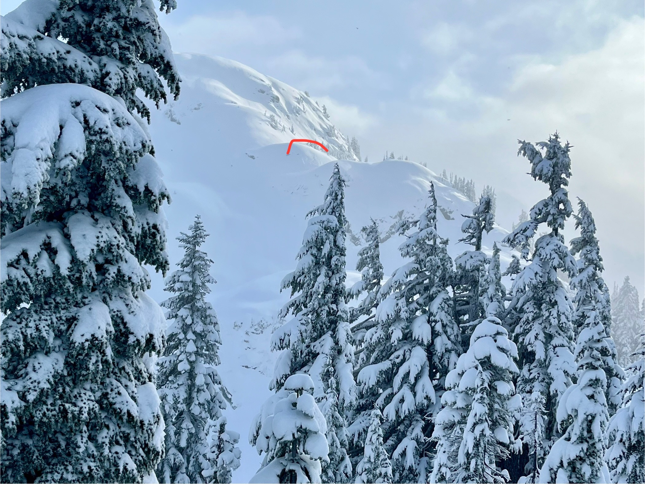
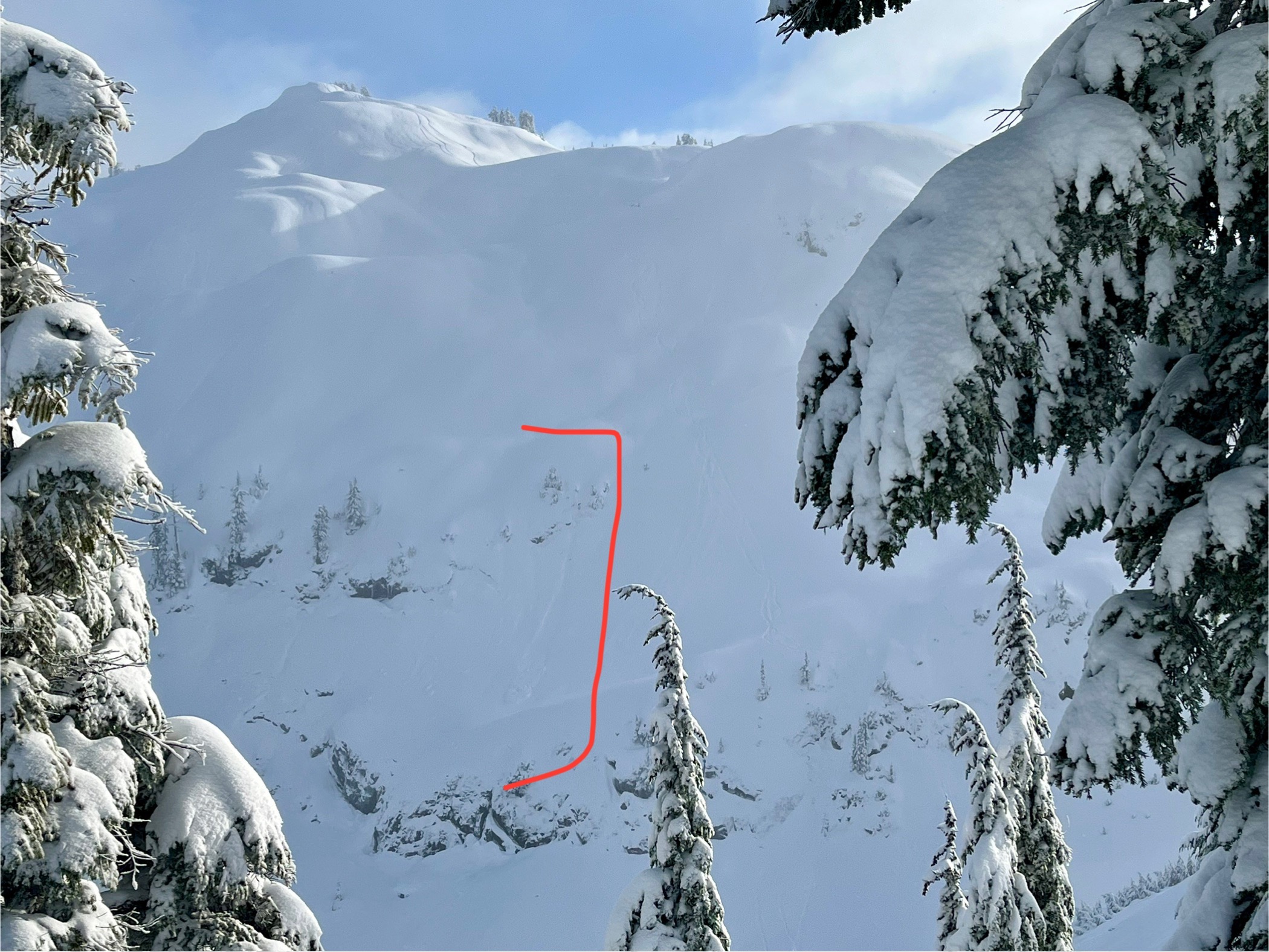
A few small avalanches were visible that likely failed about 6 inches deep on a mid-storm interface, likely during peak instability in the early morning. Other than that, only a few shallow (<6") sluffs, or loose dry avalanches were seen running from very steep areas.