
Quick report
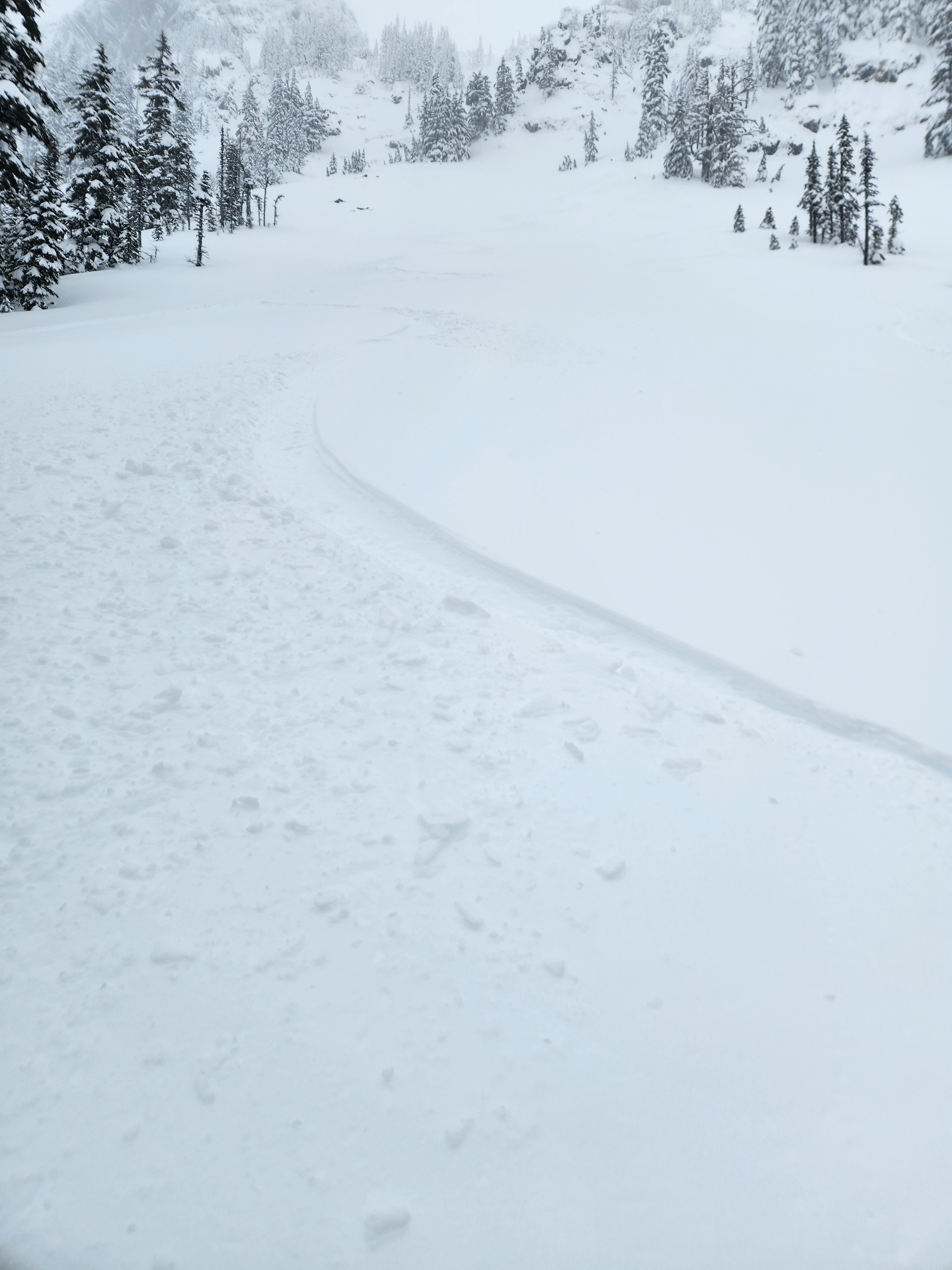
It was a quiet and pleasant day in the Alpental Valley. Winds were generally light and variable. More than 3 days out from the last major loading event, the snowpack has really settled and consolidated. There were signs of wind transport on all aspects from the past few days, but we observed no blowing snow today. It's not that there isn't still snow available for transport, but it is going to take higher wind speeds (like those coming on Friday) to move it around. Ski quality varied depending on exposure. A few wind skins from the last two days made for punchy skiing at times, whereas more sheltered terrain offered boot top (4", maybe half a boot?) of powder skiing. In more forested terrain, the soft surface snow was a bit deeper. Whether on the more wind-exposed slopes or in sheltered locations, we found a very right side up and well-consolidated snowpack.
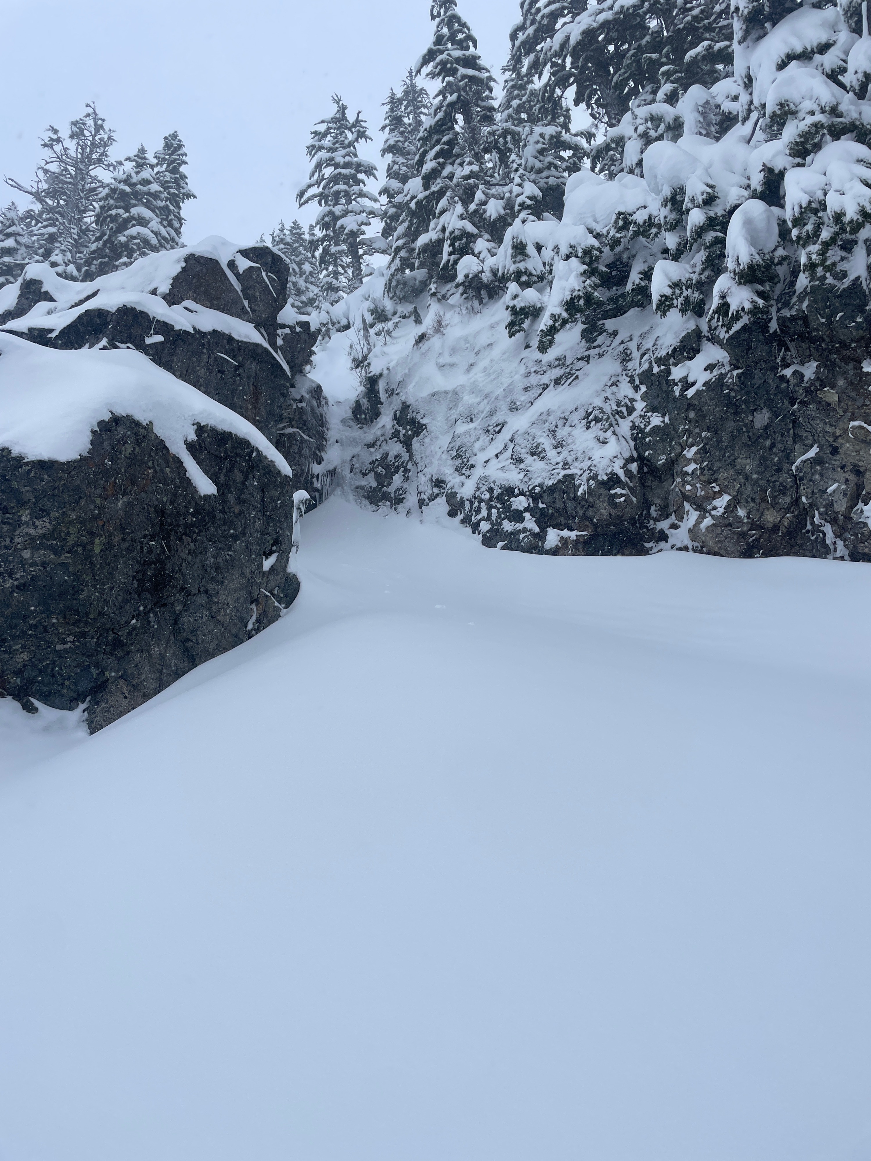
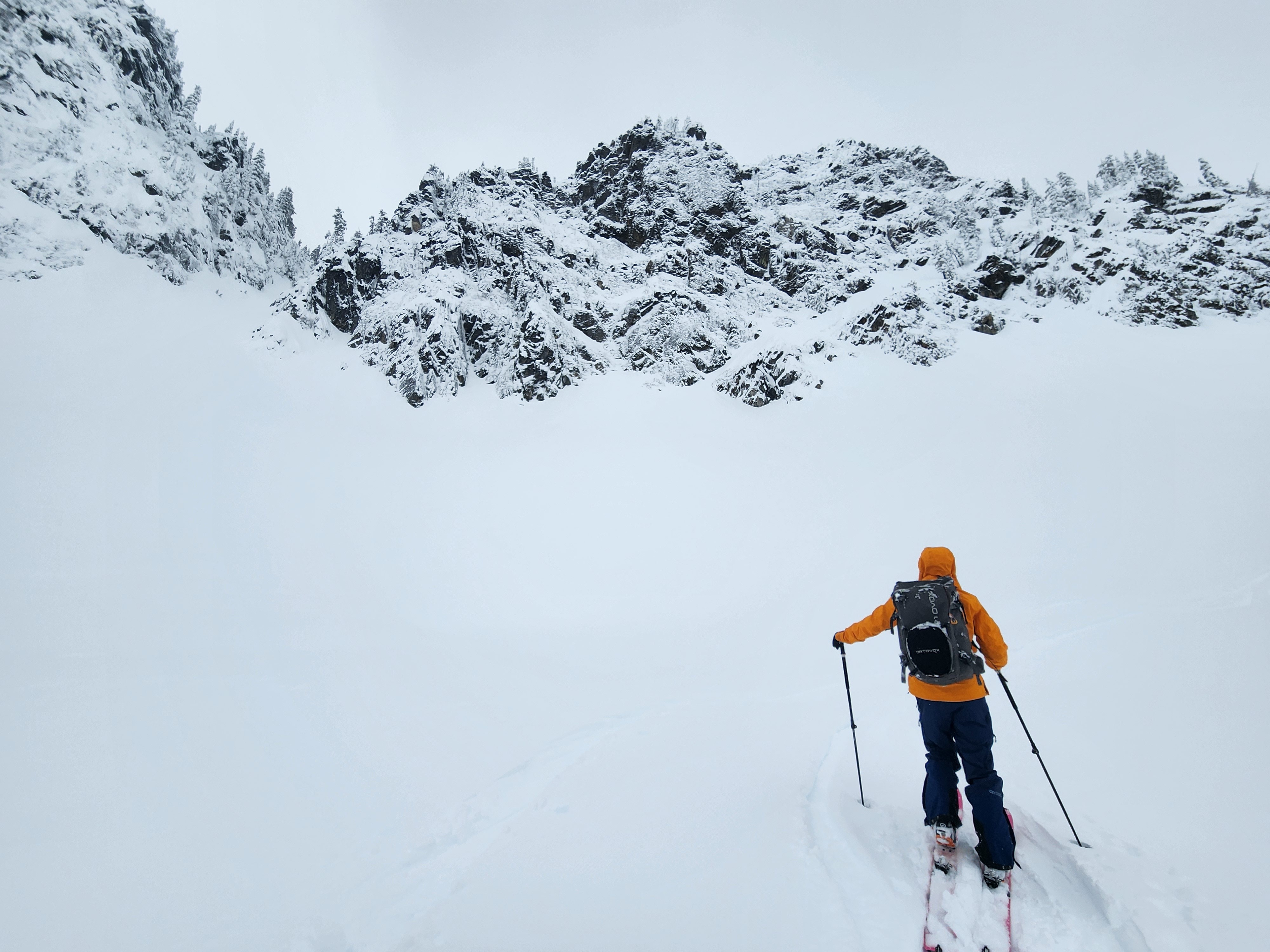
We found no obvious signs of instability and felt comfortable on non-complex steep slopes on multiple aspects in the upper reaches of the middle elevation bands. Even in clearly wind-loaded terrain below cliff bands (75 cm over the 12/28), we were unable to provoke any reactivity. That said, as recent observations have shown, isolated locations may still be harboring some reactive wind slabs, especially in complex and extreme terrain. We didn't make it into the upper elevations where one might find a more significant wind load.
Weather
- Cloud Cover
- overcast
- Wind Loading
- previous
- Recent Snowfall
- 2-4
- Snow Avail For Transport
- moderate amounts
Flurries and light snow fell off and on, but only about a 1/2" of accumulation during the day. Winds were mostly light with occasional down slope gusts on specific features. Visibility was obscured at various points, and then lifted off, only to drop down again later in the day.
Snowpack
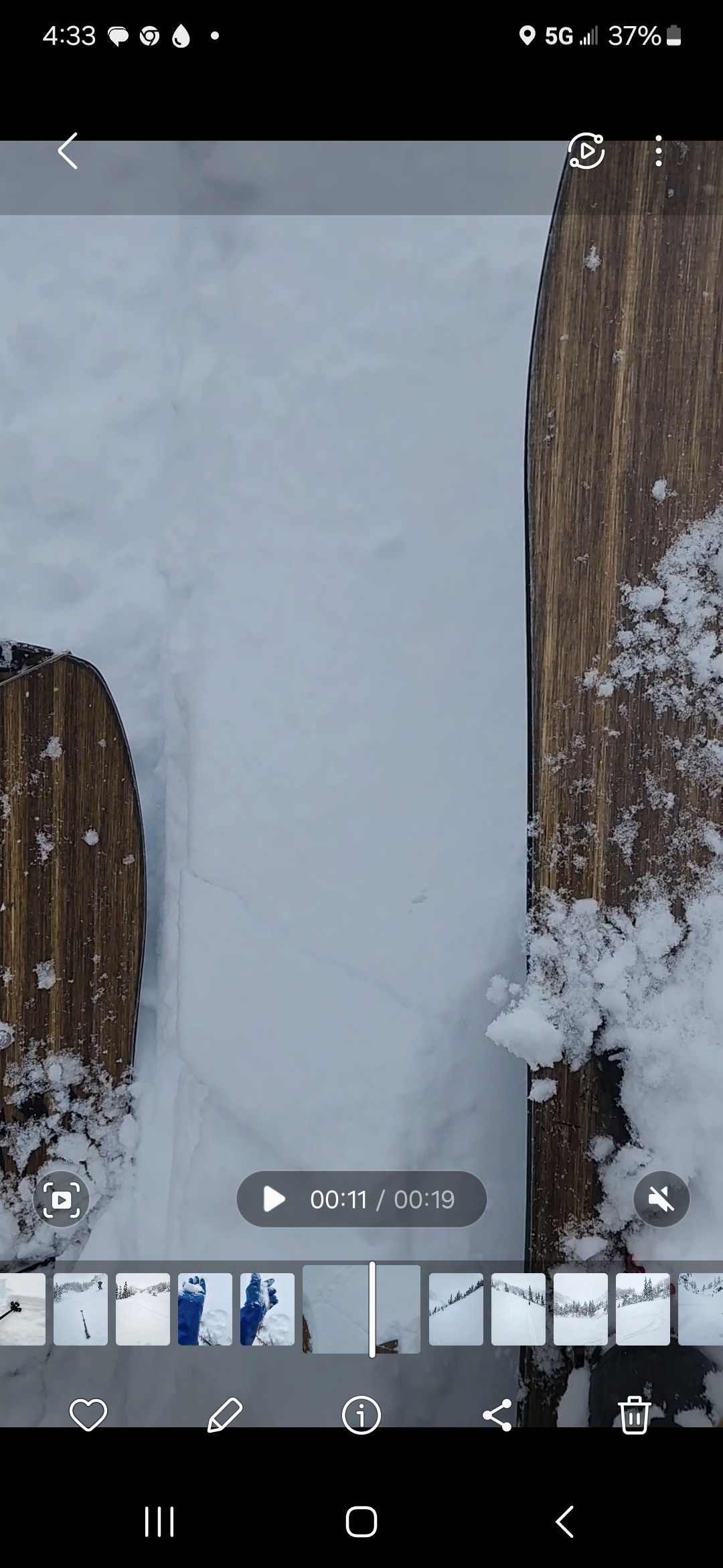
The snowpack was right side up and well-settled. Ski penetration was generally 3-4", and 6" at most in isolated drifts. In sheltered areas, 1-2" of new snow (4F) sat on the surface. On open slopes, the surface had a wind skin capping an older wind skin, likely from the last two days of very minor precipitation. Regardless of the surface, the snowpack below transitioned to 1F within the upper 4" and then progressively hardened to pencil until the 12/28 interface. The snowpack was very well bonded to the 12/28.
Source Lake - 3750'
HS 247 cm
12/28 down 50 cm
Melakwa Lake - 4500'
HS - 240 cm
12/28 down 35 cm