
Quick report
- Cracking
- specific
- Collapsing
- specific
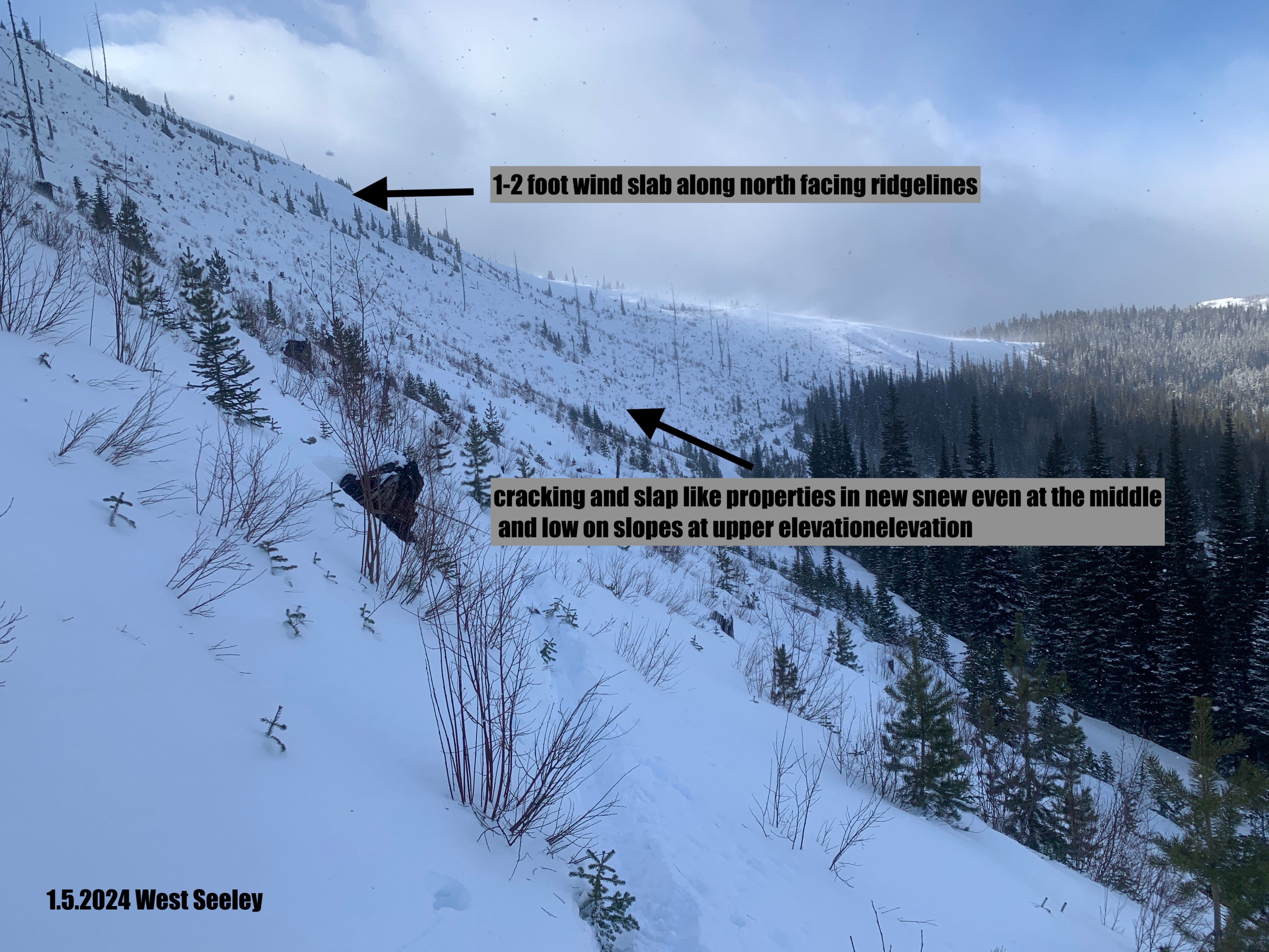
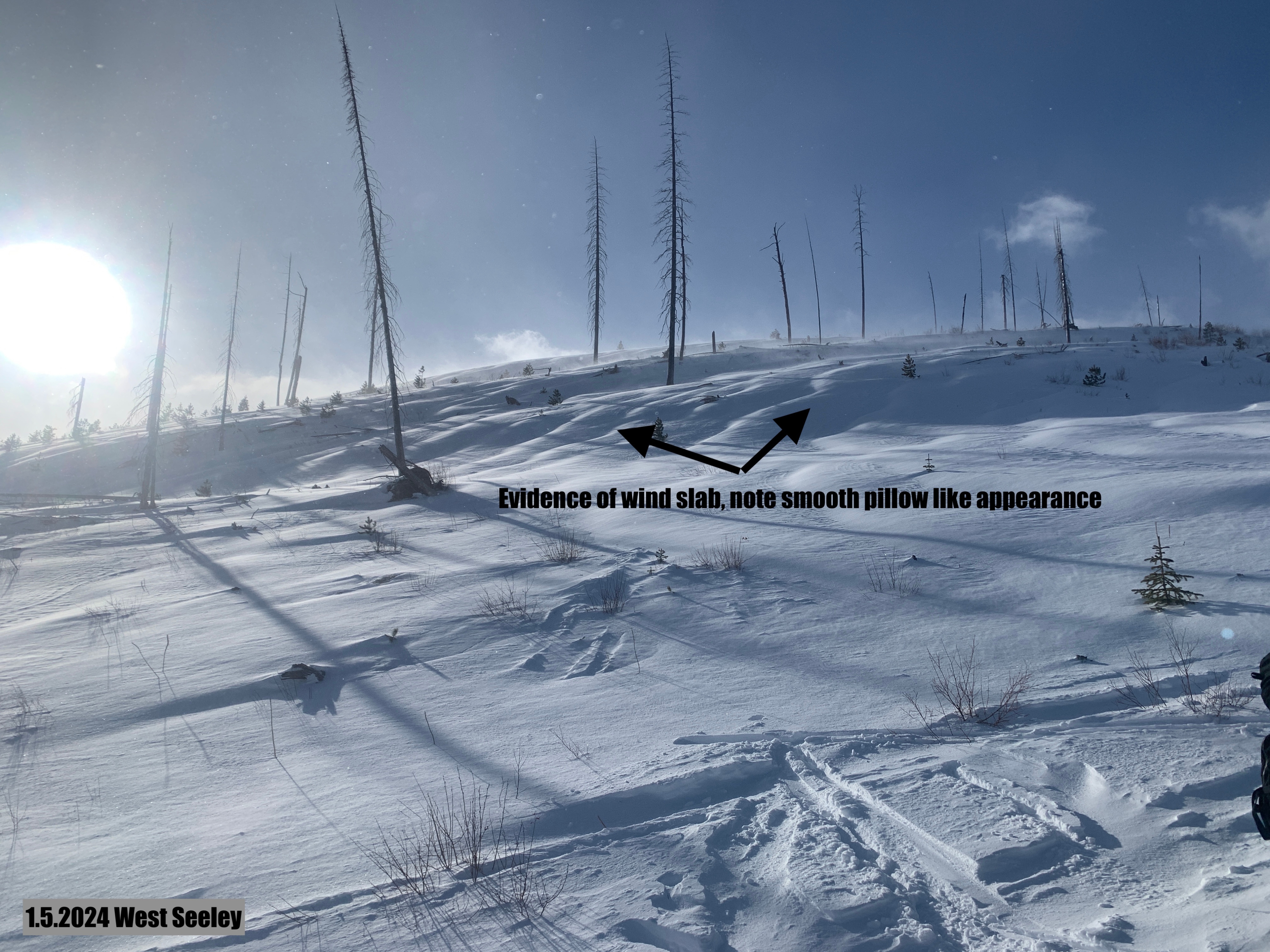
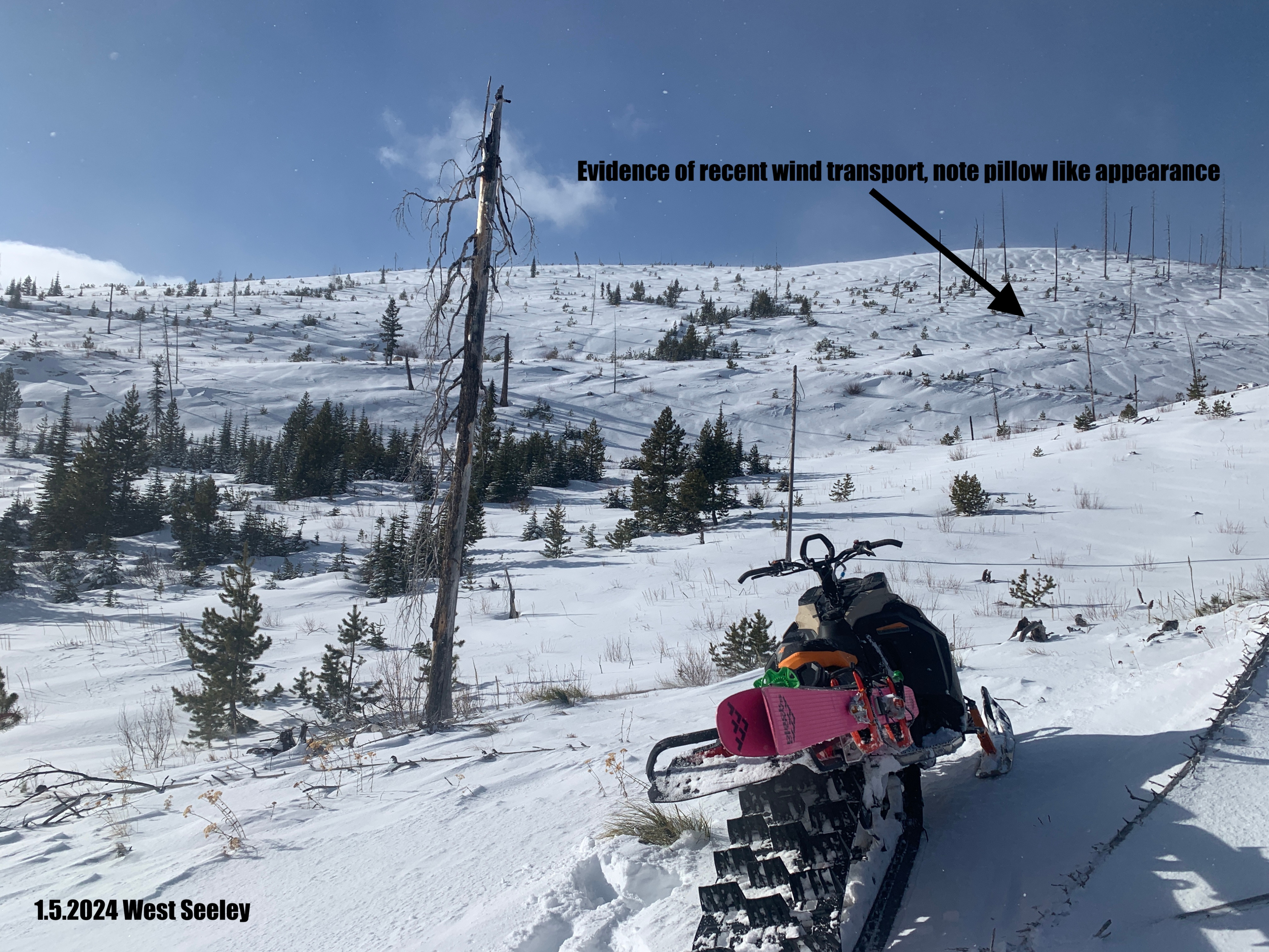
Overall hazard is rising. New snow fell onto a stout melt freeze crust on all aspects, and the wind has blown the new snow all over the place. At the upper elevation, there is a widespread wind slab on top of a pencil-hard crust. The good news is that any slab is currently easy to identify and avoid. The bad news is that the best skiing or riding is found in these areas with fresh windblown snow. Today, terrain management was the strategy of sticking to low-angle slopes to enjoy the new snow and avoid avalanches.
Strong shifting winds built wind slabs at all aspects at the upper elevation. On any convexity or test slope, we were able to get cracking from our skis in the new snow and some collapsing in the larger wind pillows. We did not touch avalanche terrain today, but on any large avalanche-prone slope with loading, I would say that you would be likely to trigger an avalanche.Weather
- Air Temp
- 20
- Cloud Cover
- broken
- Wind Loading
- intense
- Rain Elevation
- n/app
- Recent Snowfall
- 15cm (6 inches)
- Snow Avail For Transport
- moderate amounts
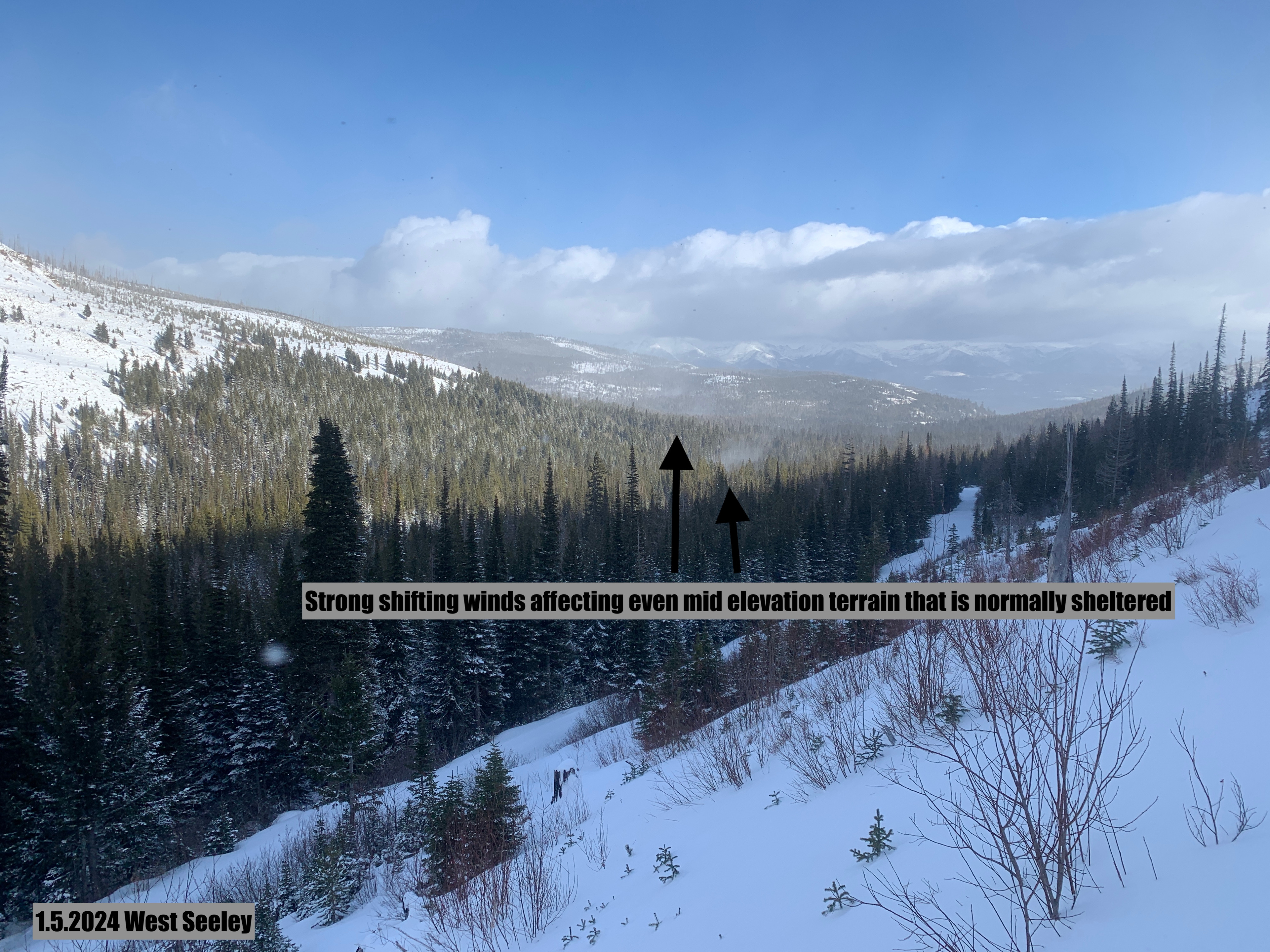
Today's biggest weather observation was a significant wind shift and strong winds around noon. At the start of the day, winds were steady and moderate out of the southwest. By 1400, winds had shifted to the northwest and were in the strong category at upper elevation. No new snow fell during our field day, but 6 inches of new snow fell overnight at upper elevation, and 3-4 at mid elevation.