Low Coastal
Dec 21st, 2025 12:00 PM
Sid Smith
Tetrahedron
Details
Type
quick
Coordinates
49.567830, -123.456060
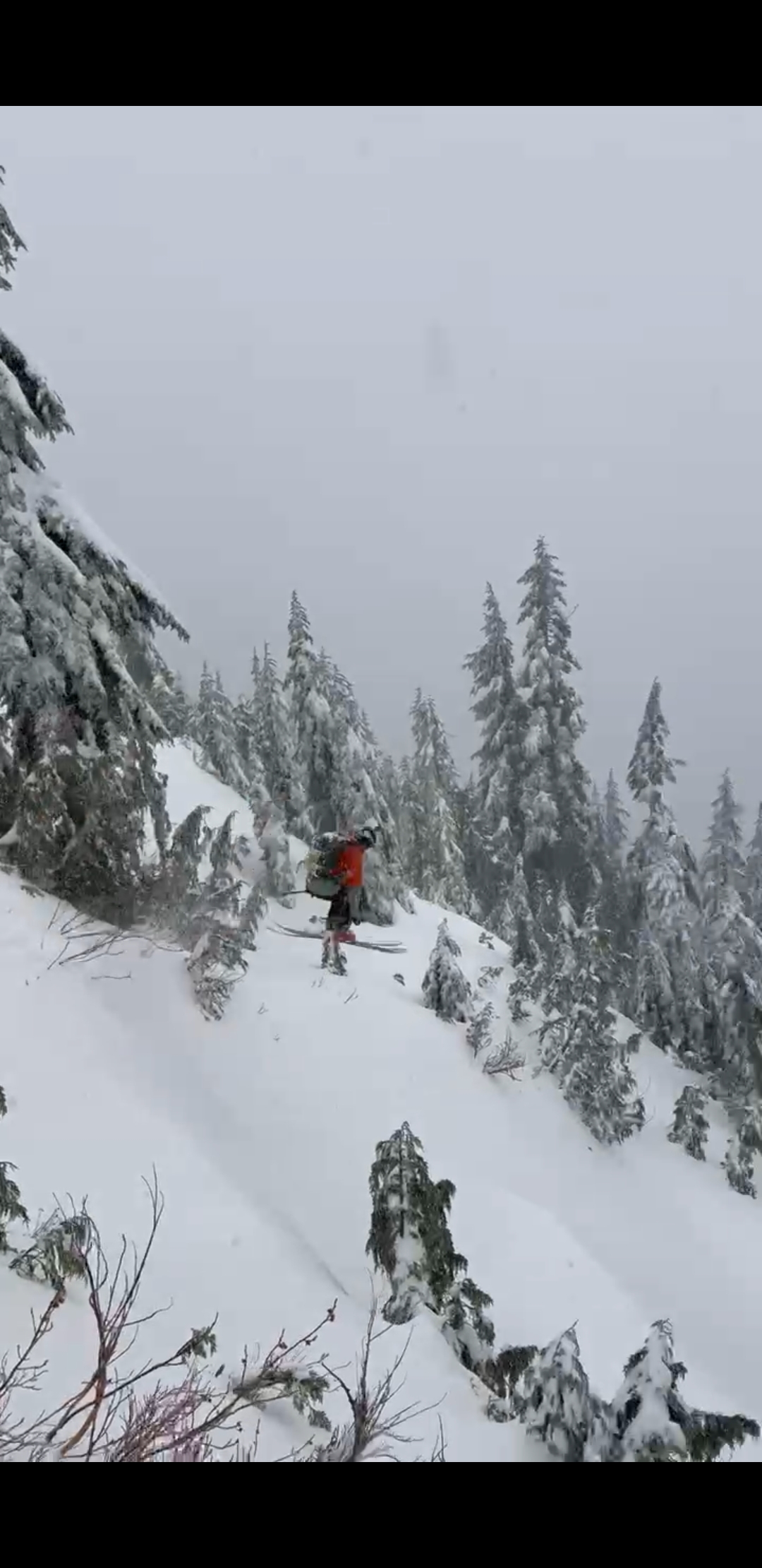
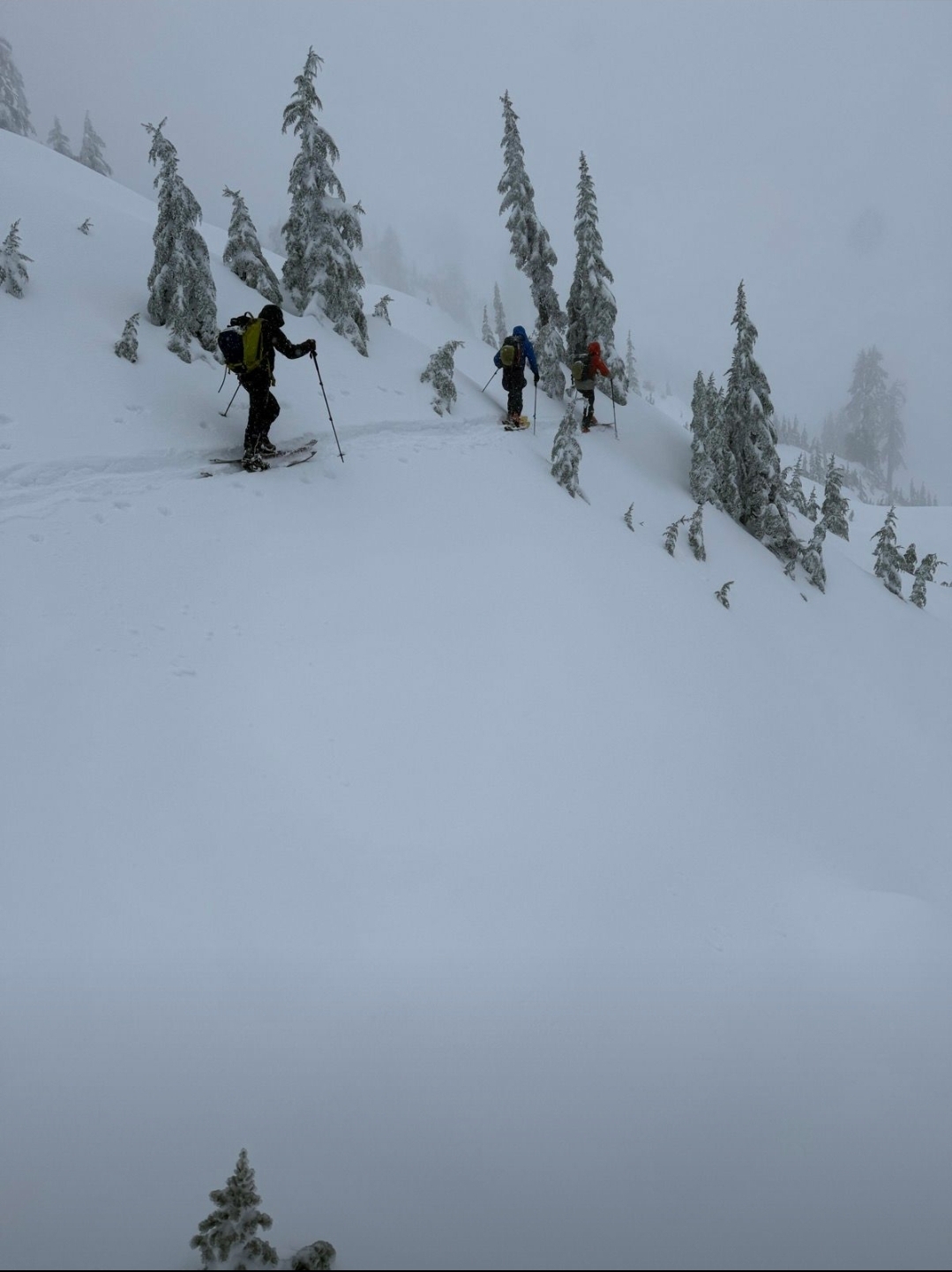
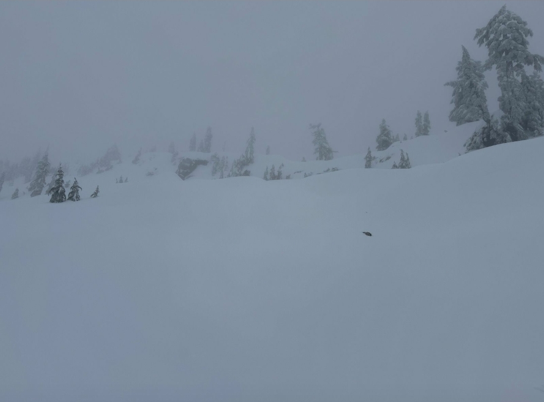
Quick Observation
Snowline @ 500m. Was pouring up to 850m where it transitioned to sleet & ice pellets. It seemed like there were some warm updrafts that made it to moutain top @1350m.
First lap at noon had a soft, moist breakable crust. Precip was very heavy graupel and ice pellets that built all day. By our last run @ 3pm the crust was under almost 10cm of graupel & ice pellets, which actually skied pretty well. I have never seen that much graupel at once, it was pretty cool!
Steep rolls were touchy with shooting cracks around 1000-1100m where the snow was more moist and the crust was less pronounced. Popped several small isolated slabs that failed 10-15cm down from surface. We only observed this instability in this small elevation band.
Was it ever a storm up there! Snowpack was about 150cm from about 1000 to 1350 (top) with basically all of it being recent storm snow from the past week. It was still over a meter down to about 750m.
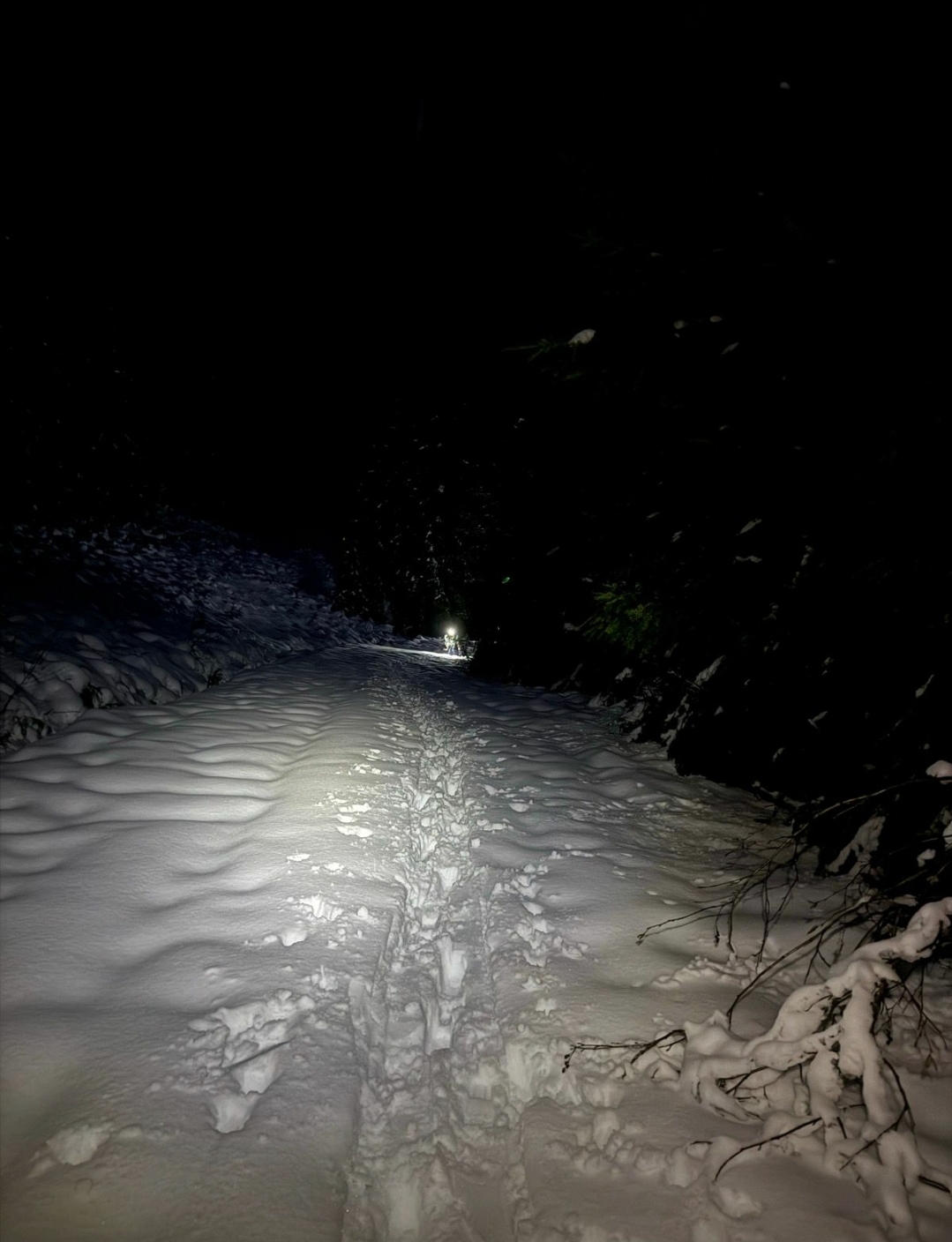
Did that ever fill in quick!
Photos (4)