
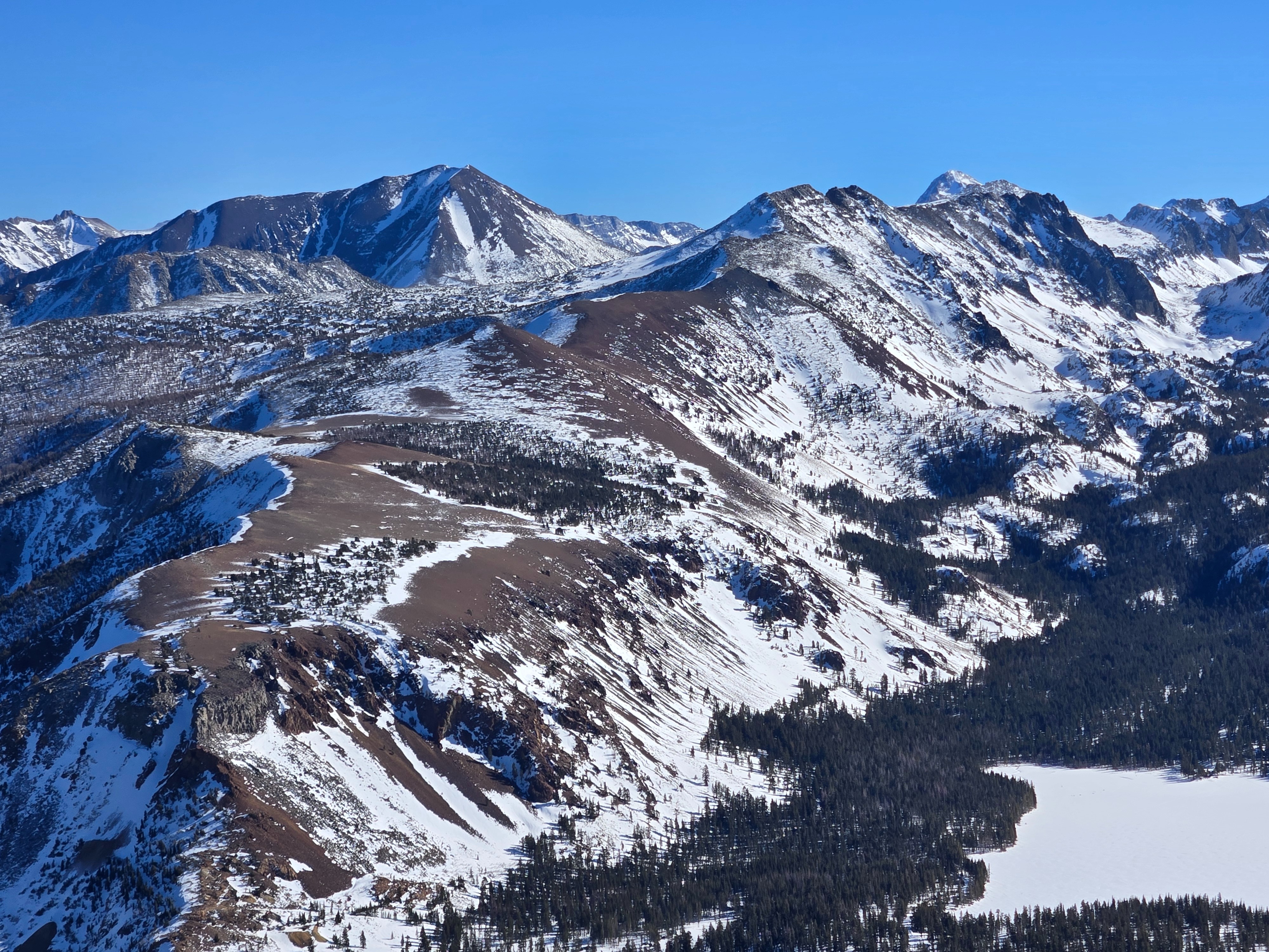
Quick report
I went to the Mammoth Area to dig a snow profile for ESAC's snowpack modeling program. (It's like weather models but for layers in the snow!) I also wanted to see what could happen if northeast winds pick up overnight as forecast.
- I ski cut some wind slabs and cornices on a northeast aspect above treeline with no signs of instability.
- See snowpack observations.
Weather
- Air Temp
- Above Freezing
- Cloud Cover
- few
- Wind Loading
- none
- Snow Avail For Transport
- small smounts
Mostly sunny with light winds, even at mountain summits midday.
Snowpack
Limited protected areas near treeline have 10-20 cm of soft snow available for transport for northeast winds. More often, surfaces near treeline have a 1-4 cm 1F wind board on top with 10 cm F DFs underneath. Above treeline, northeast aspects have hard, wind-worked surfaces with very little snow available for transport. On south to southeast aspects, surfaces were rough sastrugi from wind stripping with moist MF at the top, so it'll be MFcr on uneven/inconsistent surfaces when N wind gets strong overnight. Southwest start zones (back of the Sherwins) are stripped down to treeline.
The snowpack where we dug is strong and homogenous.