
Quick report
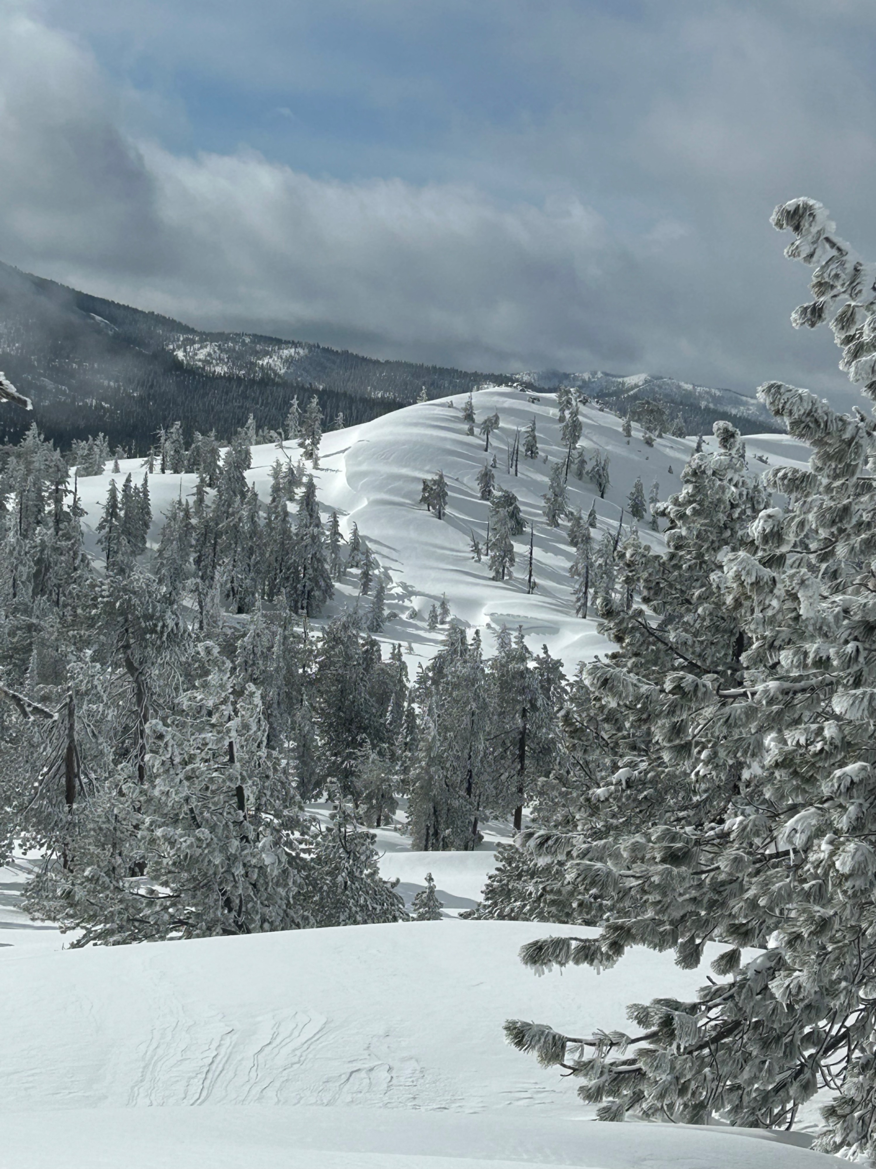
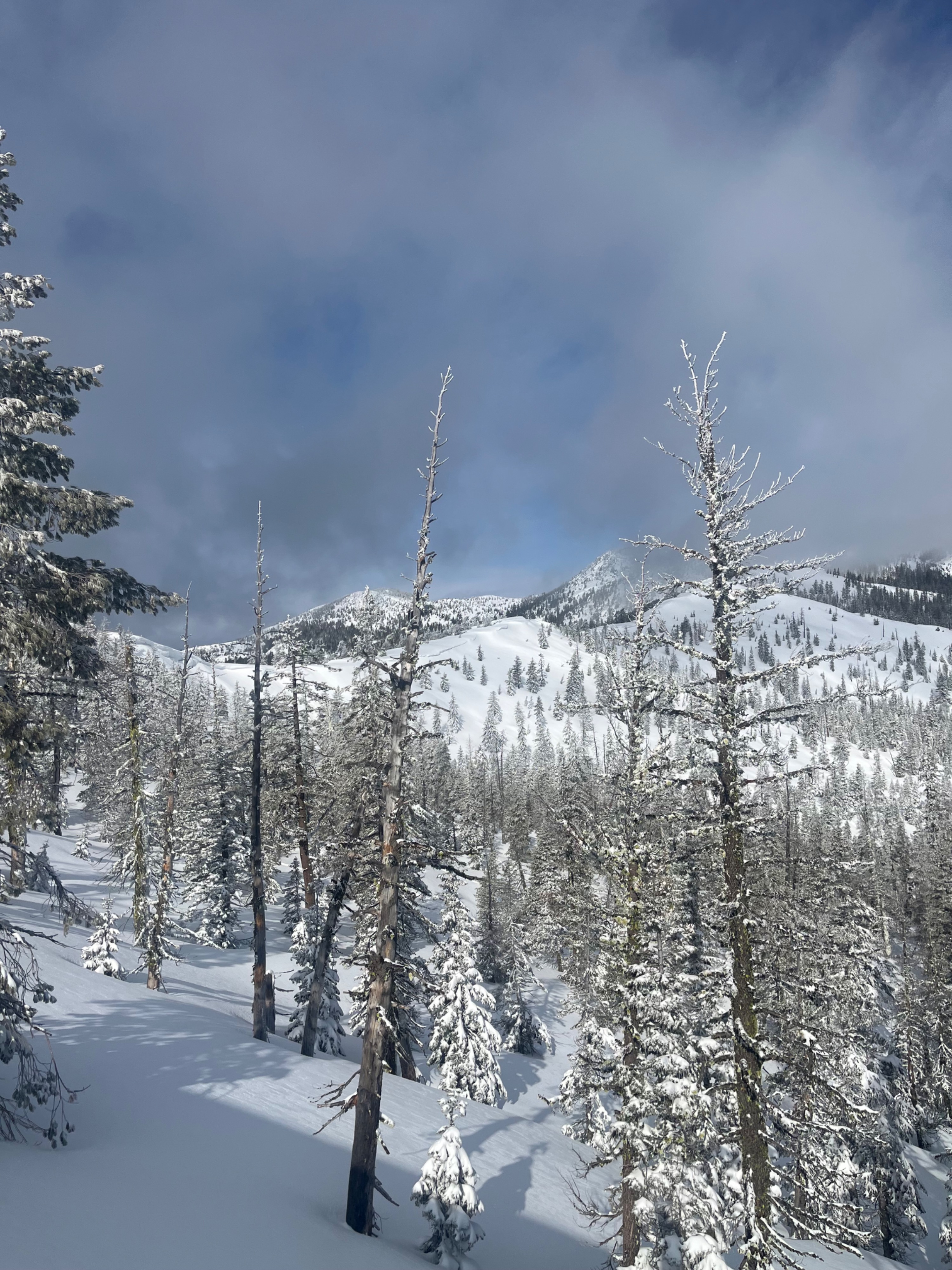
Today, a clear weather window allowed forecasters to conduct a thorough evaluation of snow and avalanche conditions in the Eddy mountains. No natural avalanche activity was observed, and signs of instability were minimal. This is likely due to low wind impacts and a warm-to-cool temperature trend that has helped maintain stability. A pause in weather has also allowed the snowpack to settle before more snow arrives.
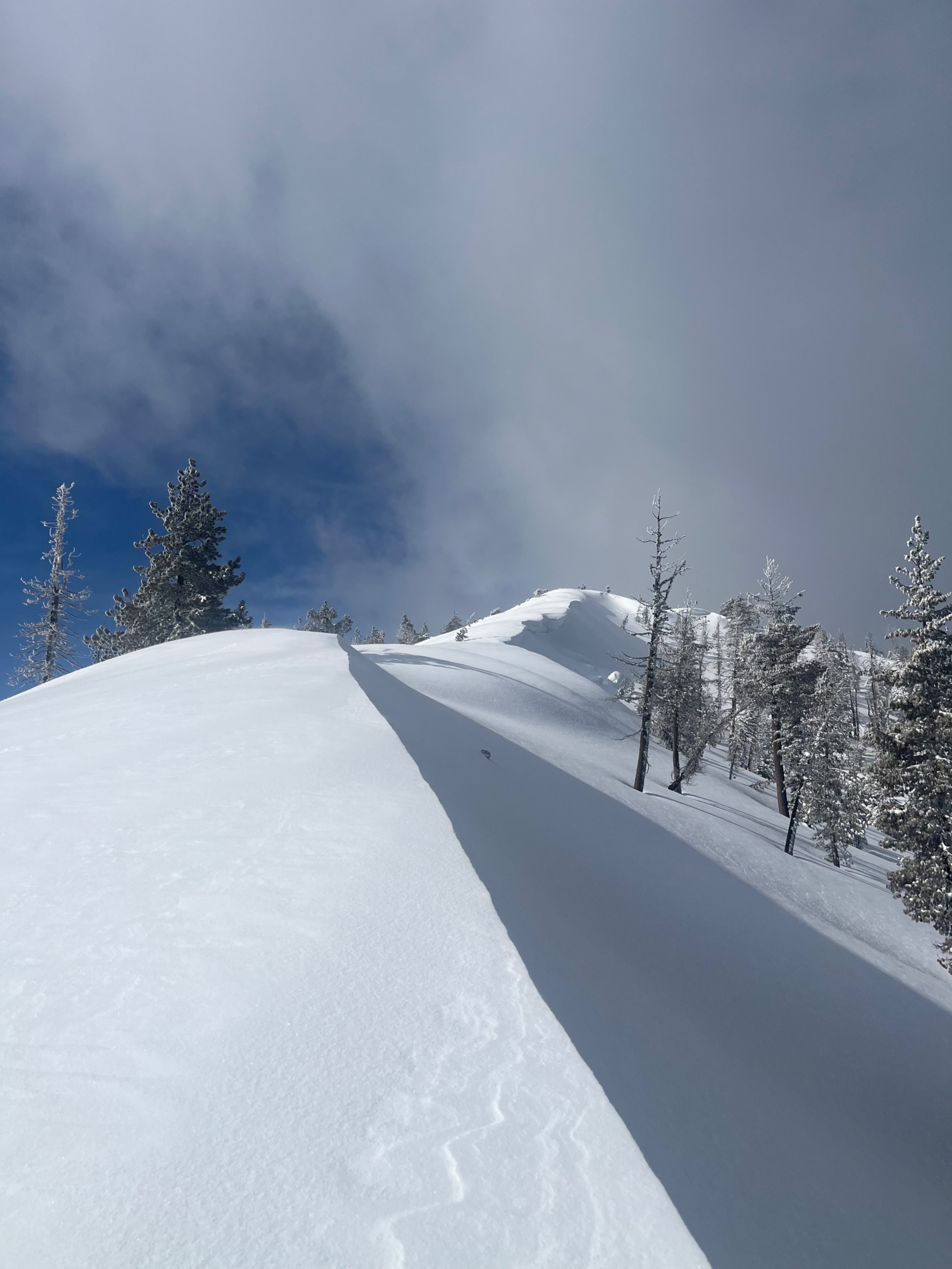
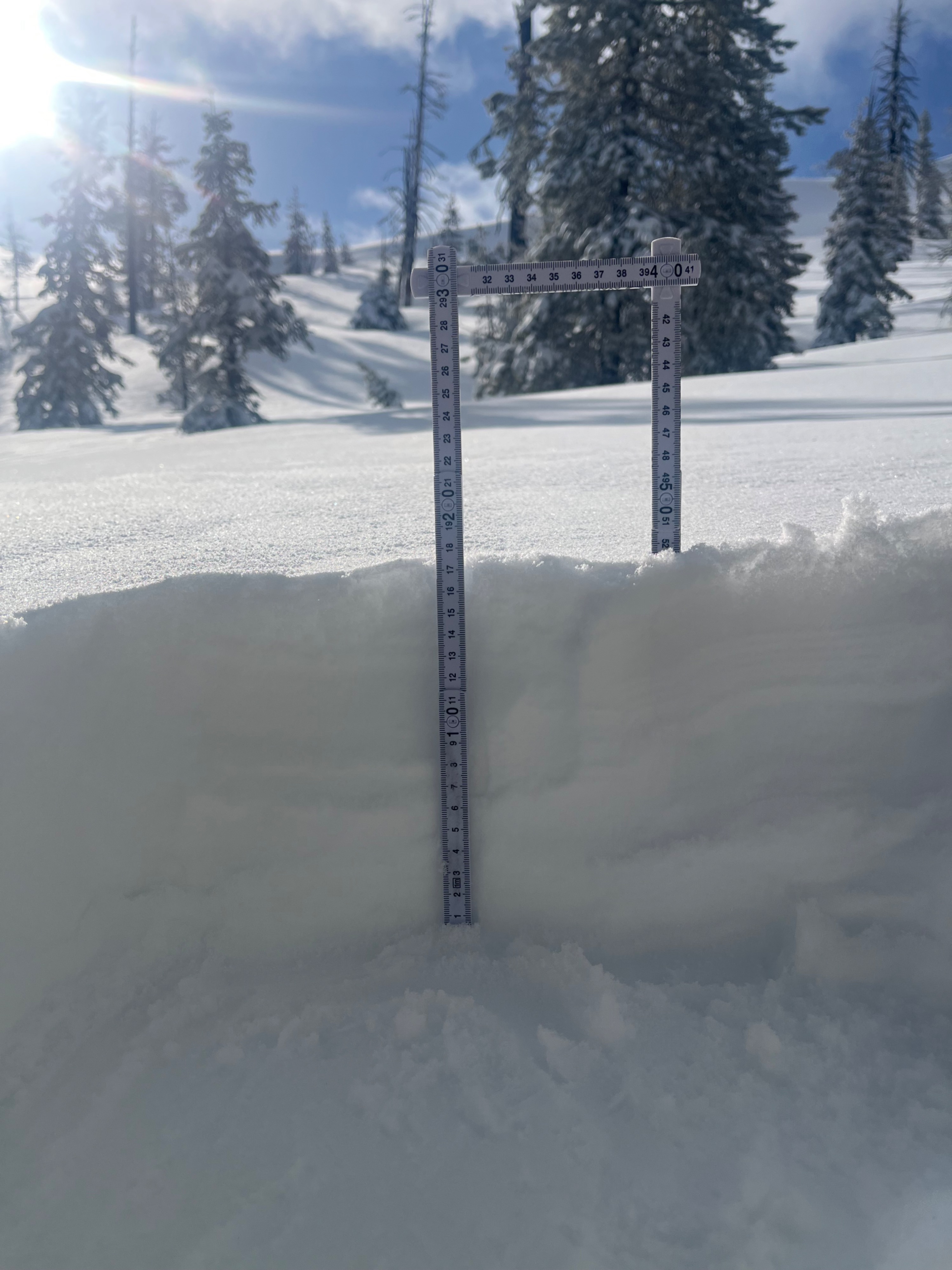
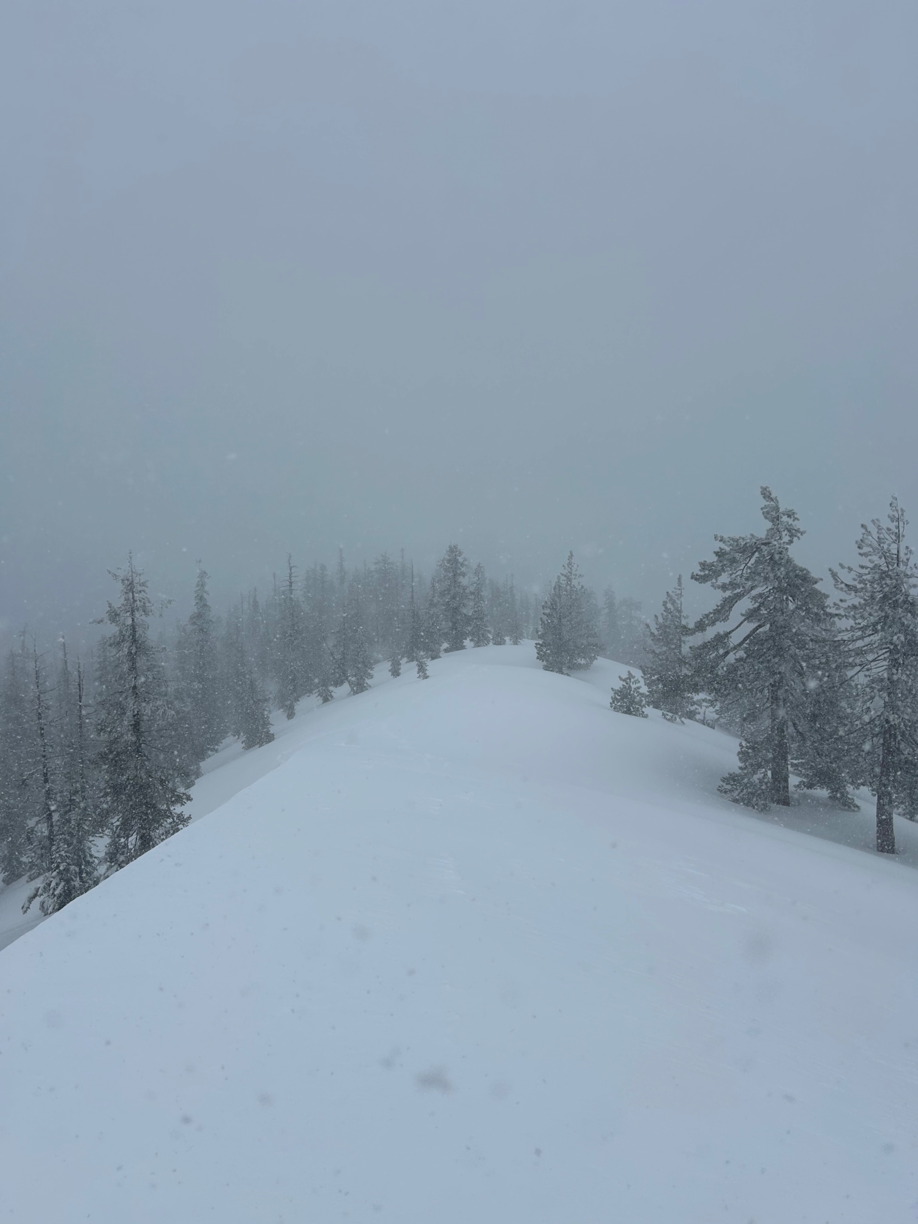
Nearly a foot of new snow was found near treeline, with the top four to five inches being dry and unconsolidated. No storm slab properties were detected. In wind-drifted areas, soft slabs of cohesive snow were beginning to form. Ample snow is available for wind transport at all elevations. Around midday, the weather quickly deteriorated, with poor visibility, new snowfall, and continued cold temperatures.
Weather
- Air Temp
- 23
- Cloud Cover
- scattered
- Wind Loading
- light
- Recent Snowfall
- 18
- Snow Avail For Transport
- large amounts
The day began with partially clear skies, below-freezing temperatures, and strong winds above 9,000 feet. By 11:00 a.m., a storm front moved in, reducing visibility. Temperatures remained in the mid-20s, with snow falling at a rate of one inch per hour. Winds shifted from southwest to northwest, blowing at moderate speeds.
Snowpack
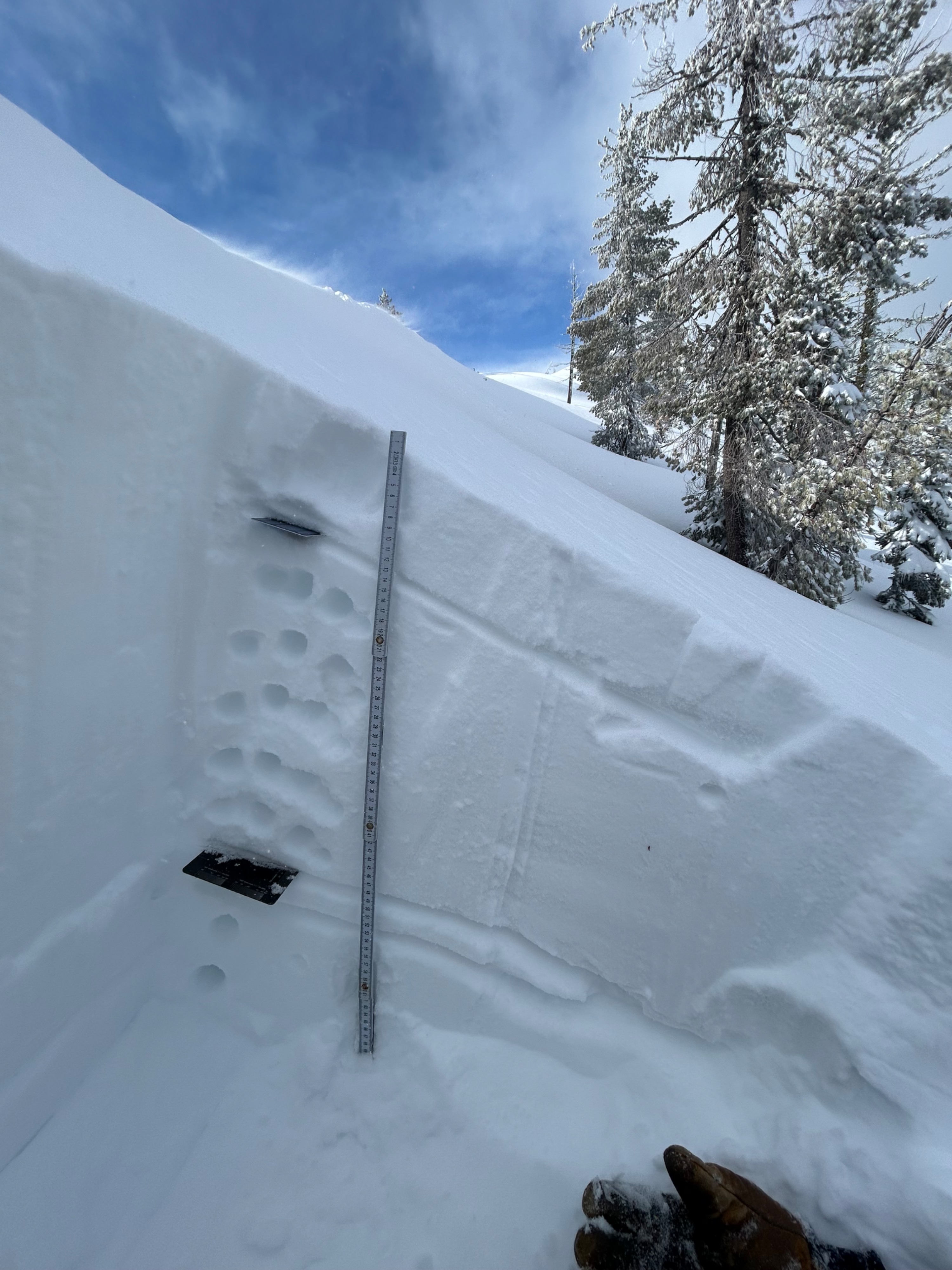
The snowpack is topped with four to five inches of dry snow, gradually becoming denser with depth. The old snow/new snow interface from Saturday, March 29th was observed 50 cm down and showed no signs of instability in stability tests.