
Quick report
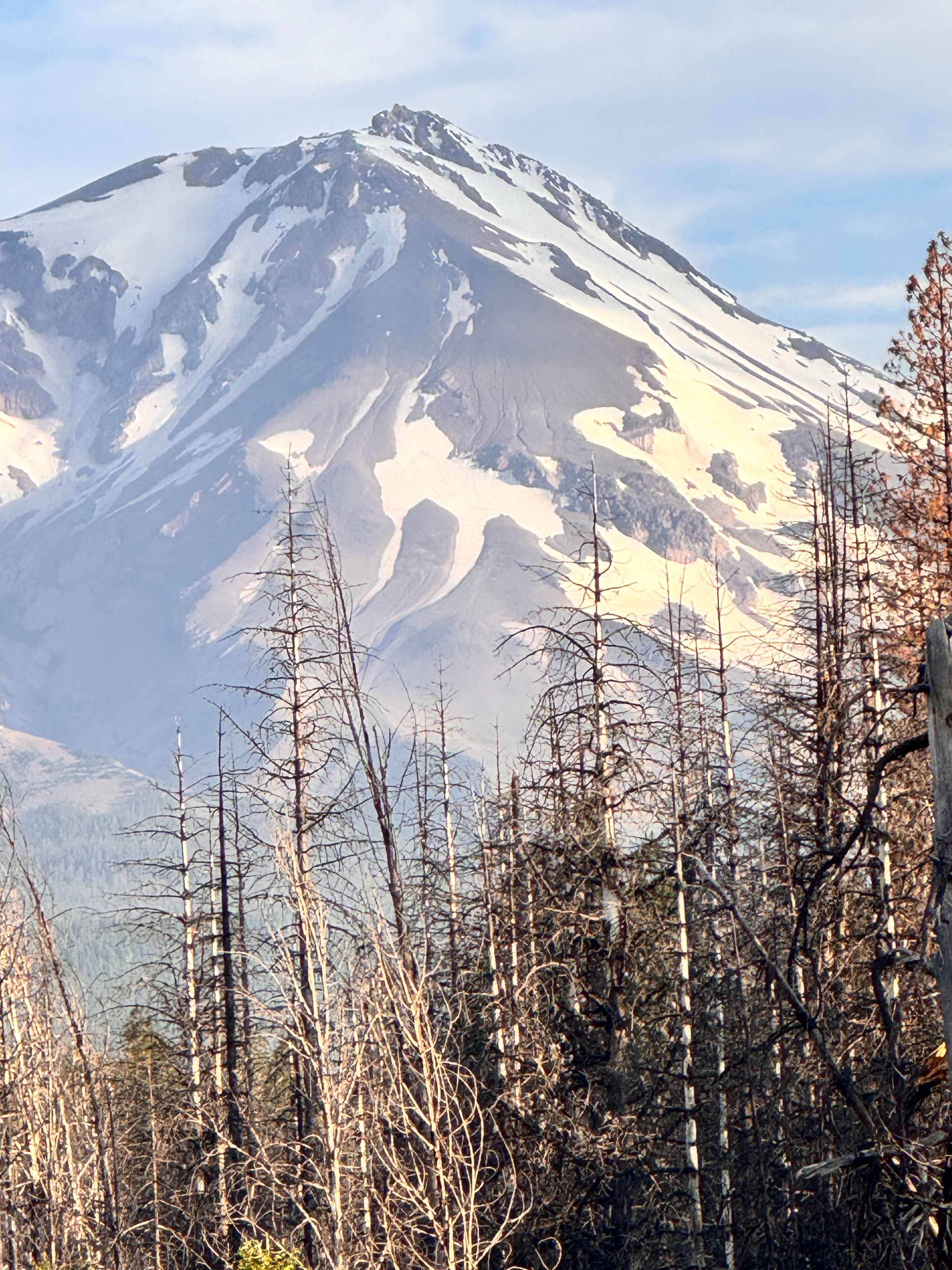
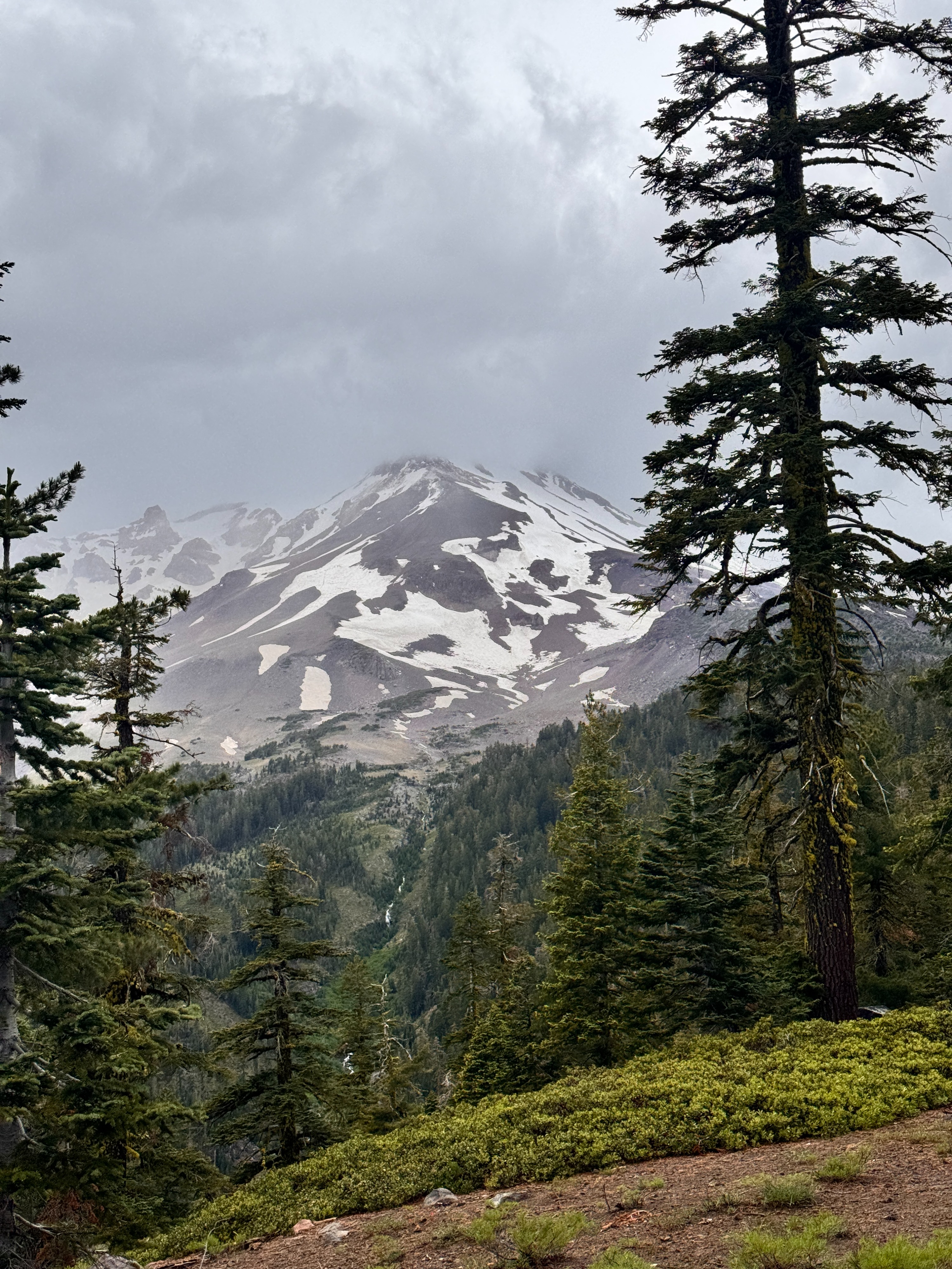
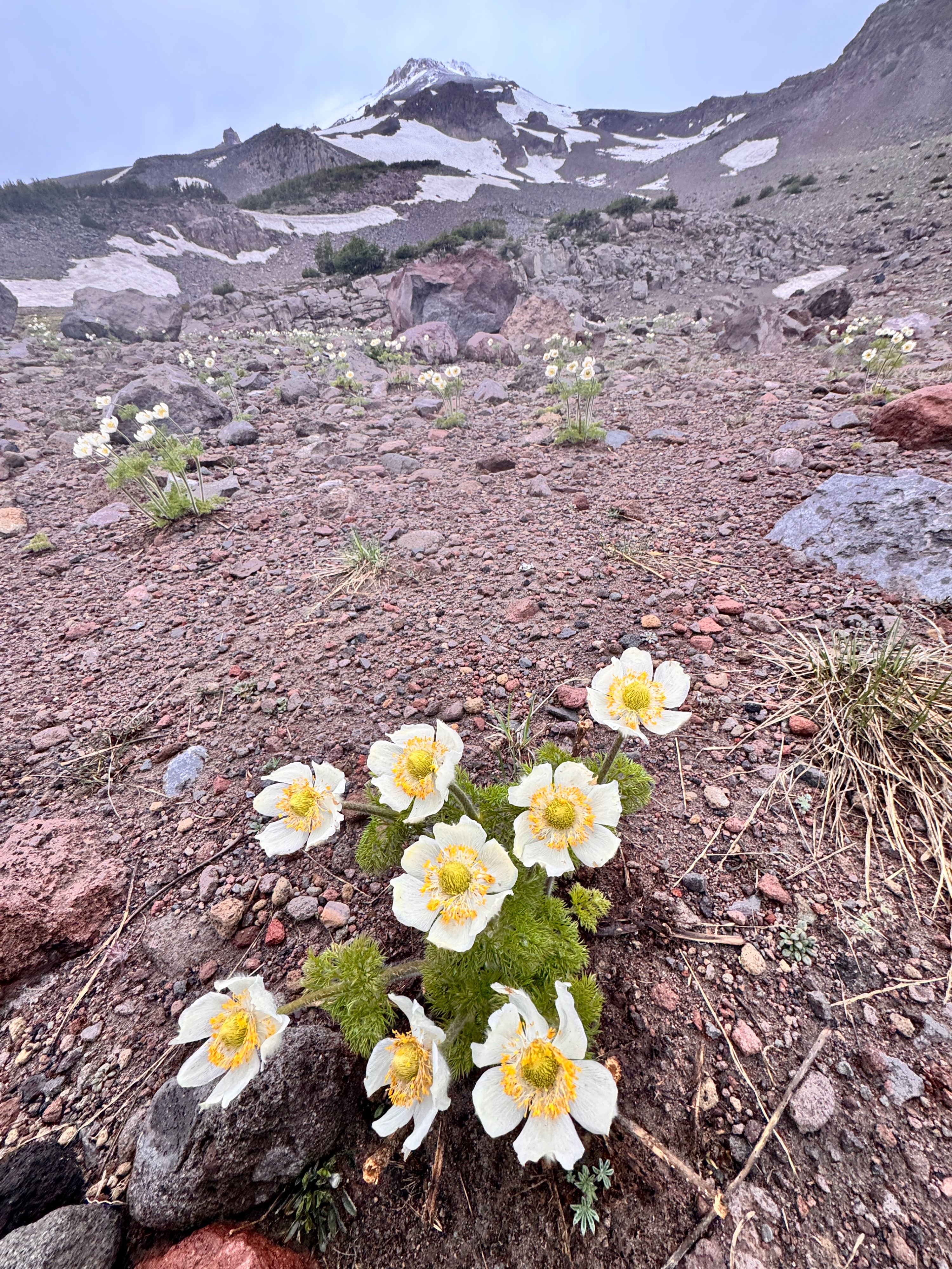
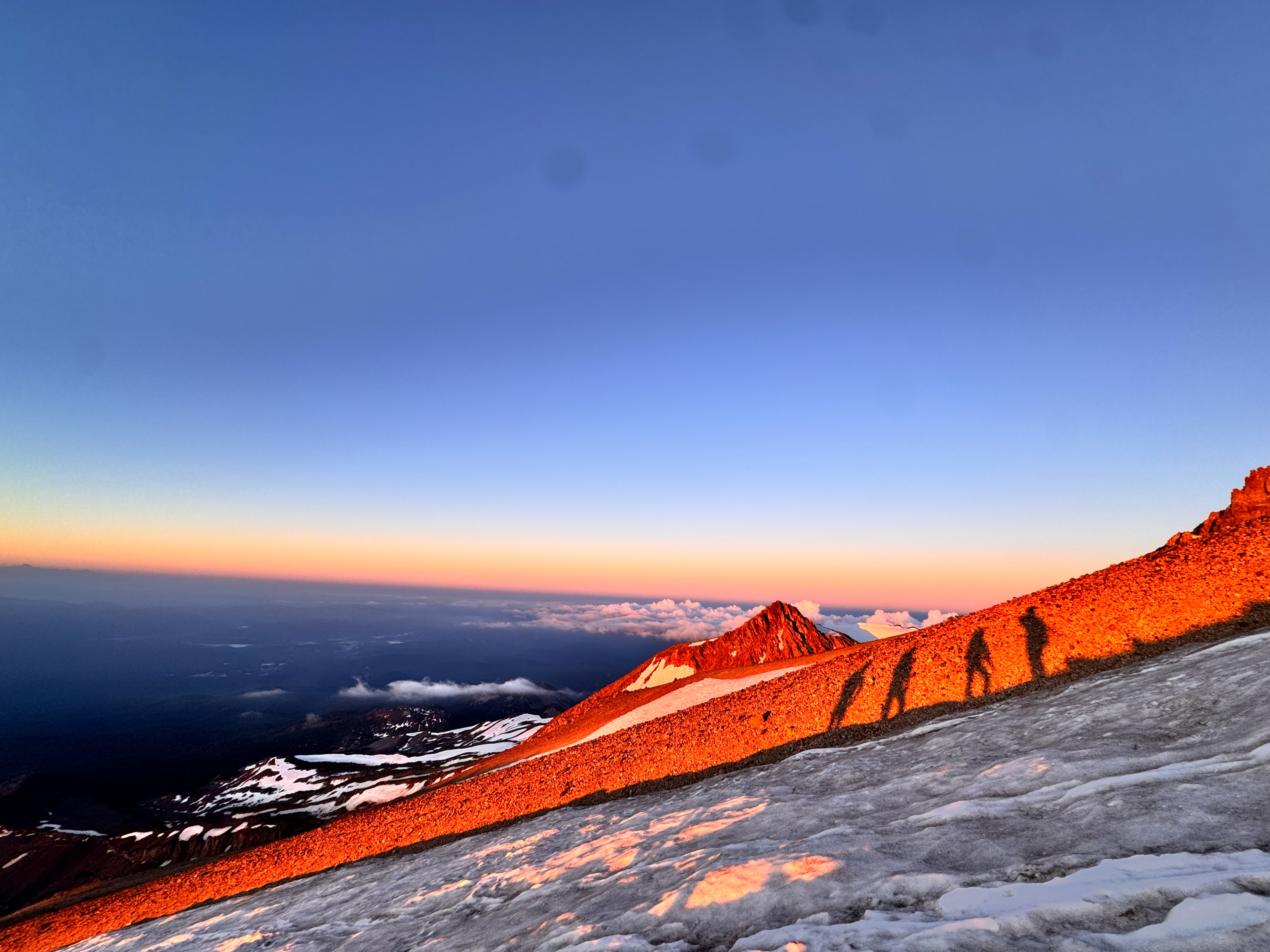
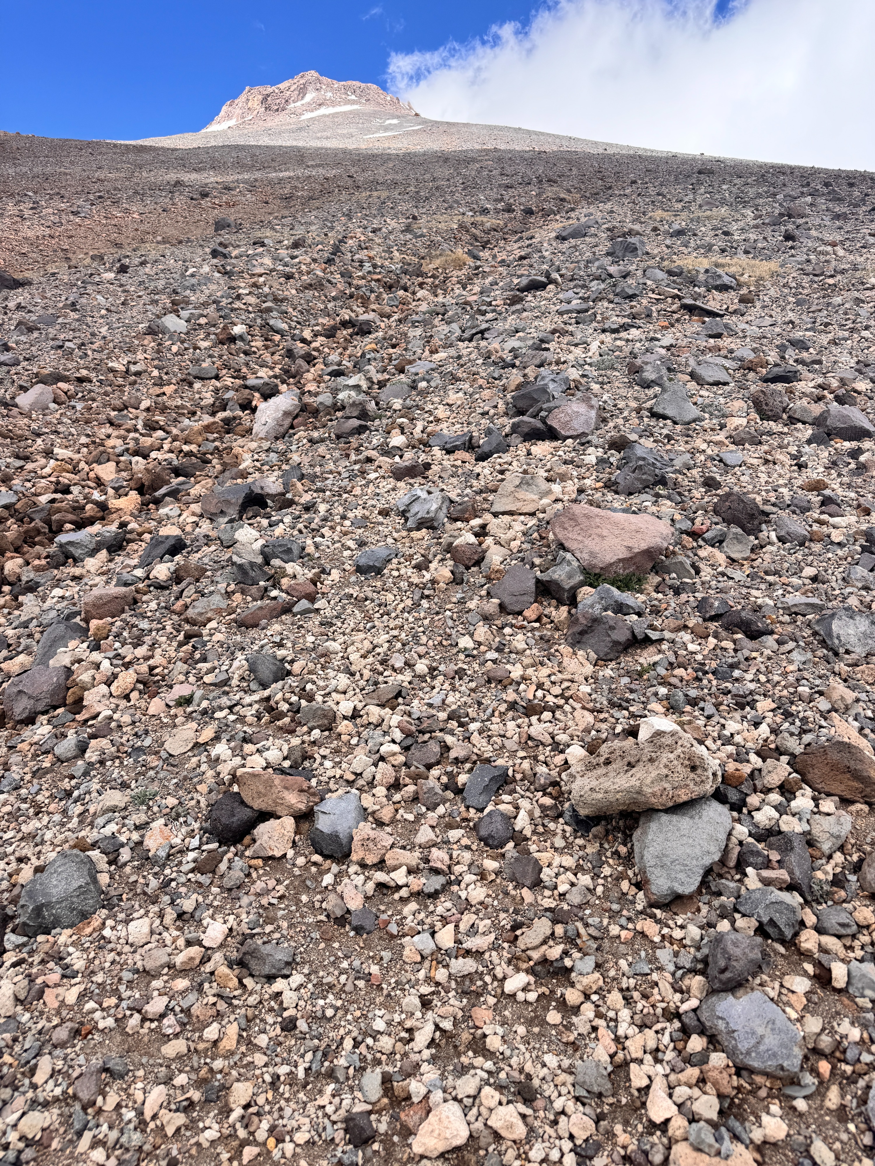
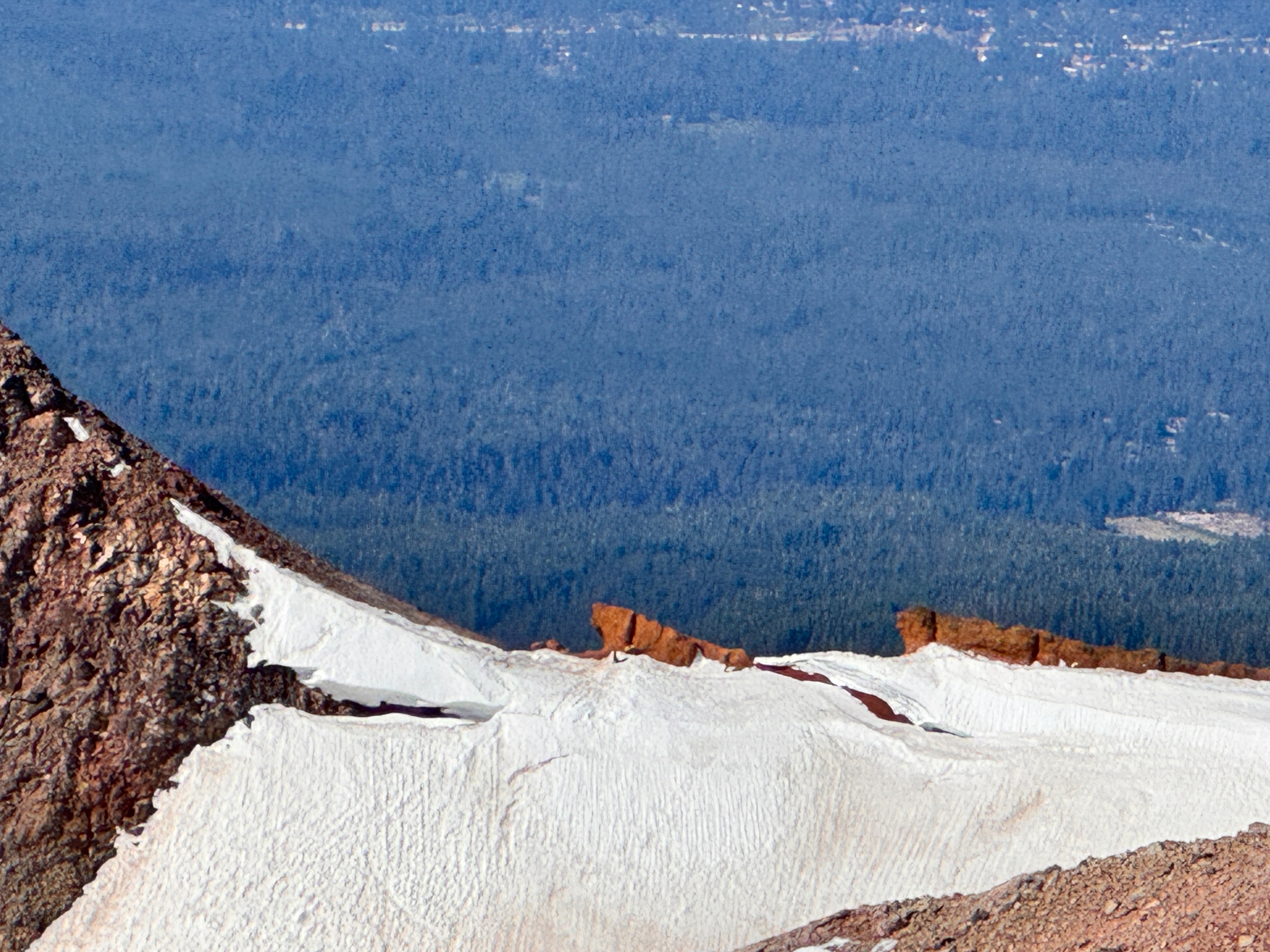
On Friday June 19, in the interest of safety, I made the seasonal transition away from the Avalanche Gulch route and ceased guiding operations there, moving instead to the Clear Creek route. This change was made to avoid the increasing natural rockfall hazard associated with summer warming on the Avalanche Gulch route. Poor overnight temperature recovery and a diminishing snowpack are reducing the snow coverage that helps stabilize the loose volcanic rock above the steeper snow slopes on the Avalanche Gulch route. The unpaved dirt road to the Clear Creek Trailhead has recently been graded and is currently in excellent condition when compared to recent years past. While a high clearance vehicle is still recommended, low clearance vehicles can reach the trailhead with careful and slow driving. The approach trail to the Clear Creek climbing route is a beautiful hike through old growth forest and the trail is also in good condition, with only occasional large downed trees. The Clear Creek spring at the normal 8,500 foot base camp is flowing well. However, the seasonal snowpack at base camp is thin and well below normal for mid June. This made finding suitable snow for crampon and ice axe instruction challenging. The limited snow coverage around camp will likely continue to complicate training for guided groups, as the nearby snowfields typically used to practice these critical skills are largely absent this season. Even though our group had the base camp mostly to ourselves, I still found a lot of trash and litter (including a sleeping bag and unused wag bags) around camp. Climbers should strive to keep this beautiful camp pristine by using Leave No Trace principles. Often, poor planning and preparedness is one of the biggest contributing factors for new climbers with good intentions unfortunately leaving litter behind. On June 21, we summited via the standard Clear Creek route. We donned crampons at approximately 10,000 feet. Rather than taking the switchbacks through the scree triangle above 11,000 feet, we followed a continuous ribbon of snow to approximately 12,000 feet before contouring north to rejoin the established trail leading up toward UFO Rock. A well defined glissade track has not yet been established on the route's remaining snowfields. However, we were able to safely glissade at 1pm on June 21 from approximately 11,000 feet to 10,000 feet through large fields of wide sun cups. Like other routes on Shasta this summer, the seasonal snowpack on the Clear Creek route above 10,000 feet is thinner than normal for mid June. Despite the reduced snow coverage, the remaining snowfields continue to provide welcome relief from the loose volcanic scree and sand. While still below normal, the snow coverage above 10,000 feet remains considerably better than at elevations below 9,000 feet.
Weather
- Air Temp
- >32F
- Cloud Cover
- scattered
- Wind Loading
- none
- Rain Elevation
- >13,000
- Recent Snowfall
- Nothing significant. Trace grapuel observed on the summit plateau from convective activity.
- Snow Avail For Transport
- none
Typical afternoon convective cumulus cloud build up and thunderstorms