
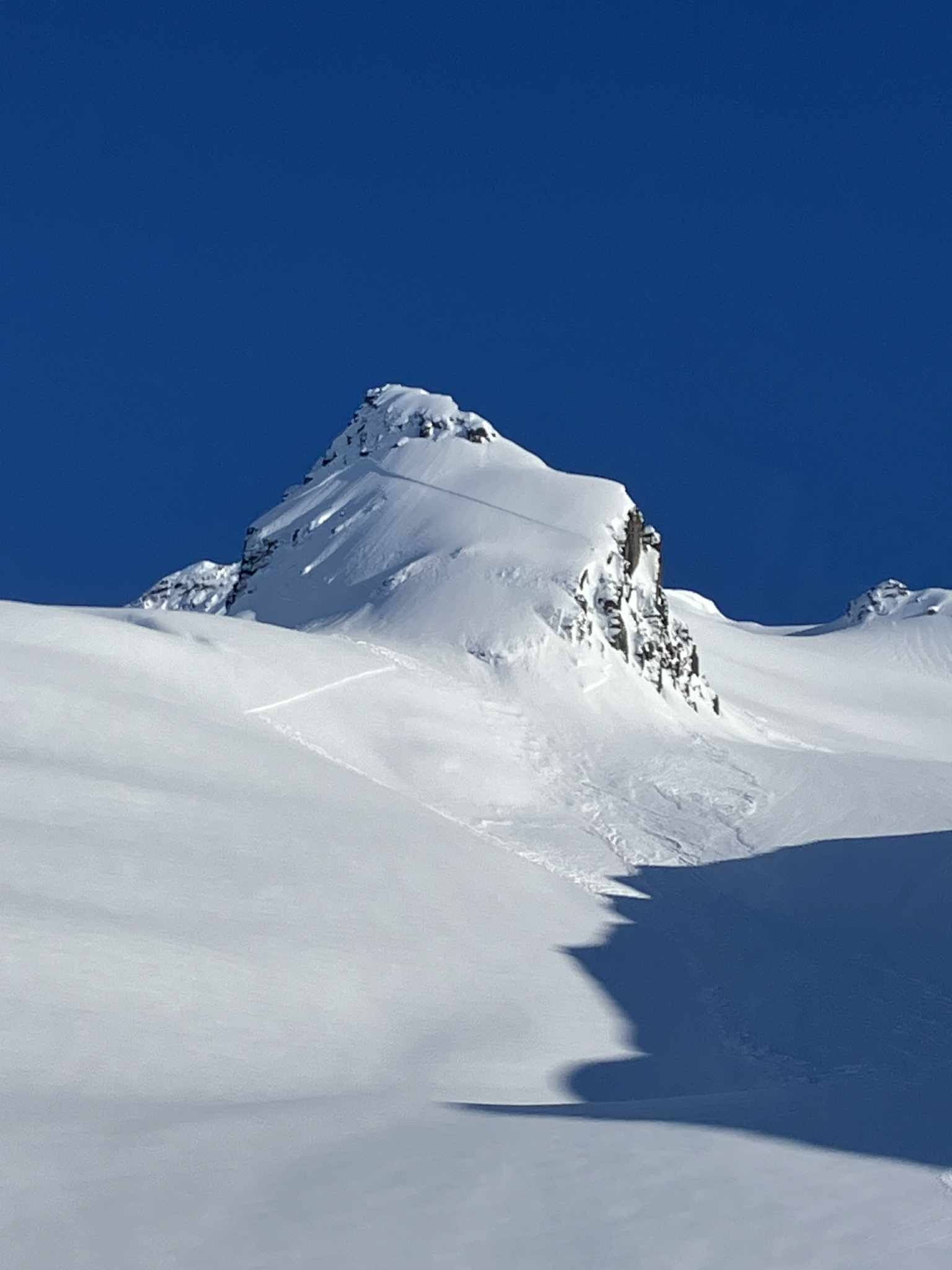
Quick report
Small to large dry loose avalanches were the most common activity observed during the day. Several large loose slides had released on Oddesey, and a few small skier-triggered dry loose slides were observed on steeper terrain in our area. Small wet loose on S. tones with low intensity solar input.
Weather
- Air Temp
- low 30s near road. Mid 20s up high
- Cloud Cover
- scattered
- Wind Loading
- moderate
- Recent Snowfall
- 45cm
- Snow Avail For Transport
- moderate amounts
A brief break in the ongoing stormy weather. Overnight temperatures were below freezing, causing previously wet, unsupportable snowpack to gain a bit of strength. South winds were actively drifting snow at ridgetops, creating deep pockets of storm snow.
Snowpack
Previously wet and unsupportable snow surfaces at low to mid elevations had refrozen for the first time in quite a while. Wet snow remained buried under the supportable surface crust below 3000 feet. Upper elevations had received about 45cm of additional snowfall from the recent pulses of precipitation. Above 4000 feet, there was about 170cm of dry snow accumulation from the last couple of weeks. This accumulated snow was redistributed and drifted into 6+foot storm slabs in areas exposed to S winds near ridgetops. No slab avalanches were observed in our area, although one was reported on Cracked Ice (See attached picture).
The takeaway: April has produced some of the most significant snow loads of the season above 4000feet. This is concerning for many reasons: There has been little time for the snowpack to adjust to significant stress between storms. We are experiencing significant seasonal warming. Additional loads will stress the snowpack further. Many areas have very weak snow at the base of the snowpack. Although there is likely to be some good spring riding out there in May, we currently have the ingredients for large avalanches, so elevated caution is advised!