

Quick report
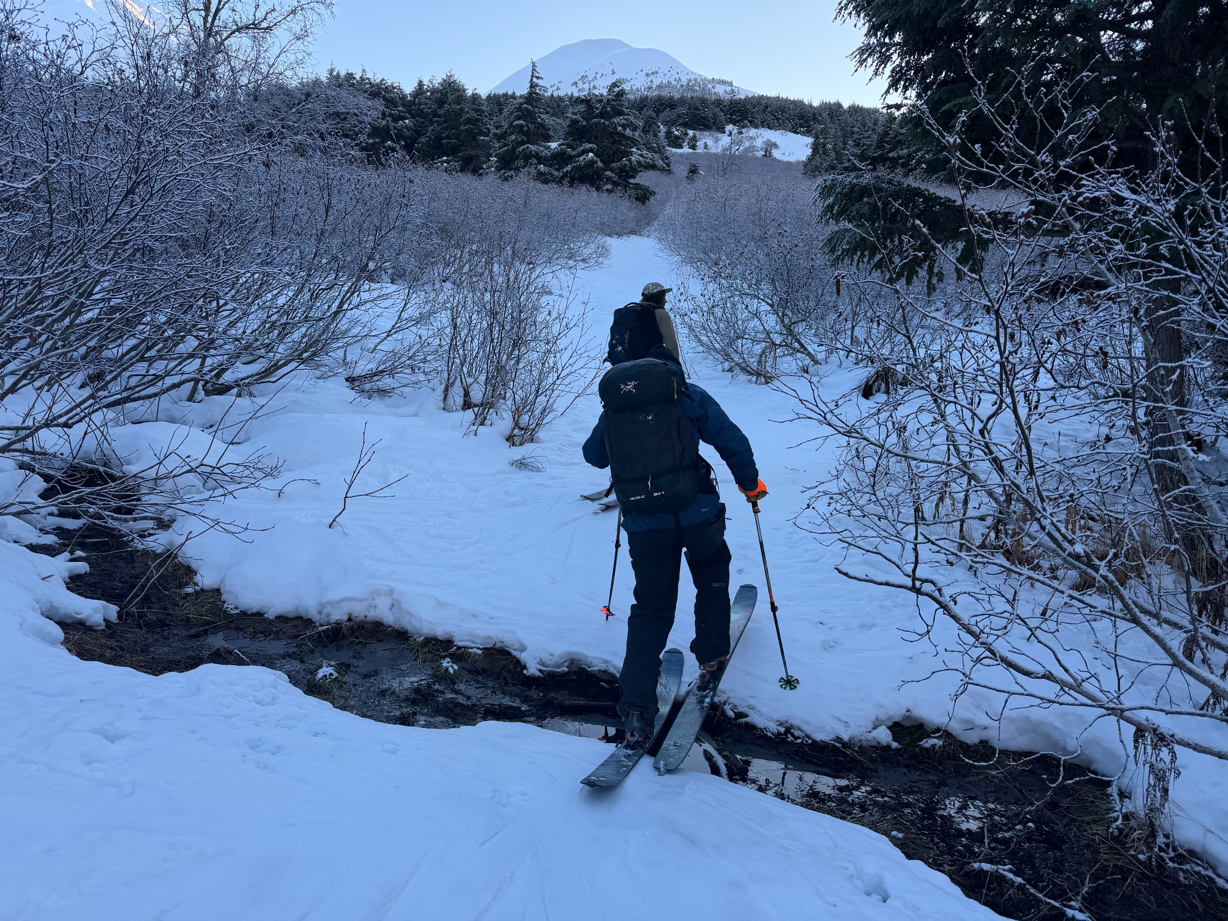
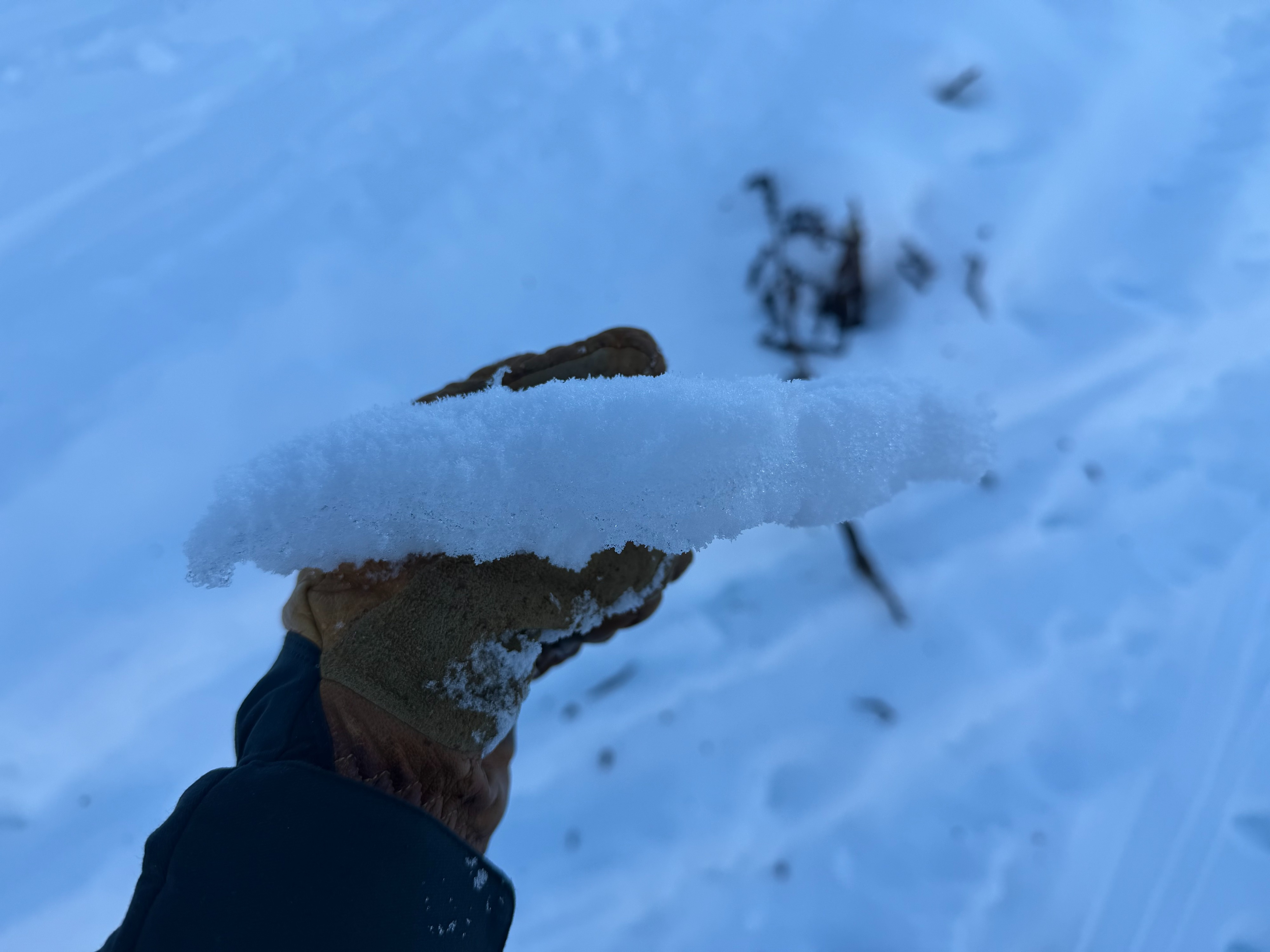
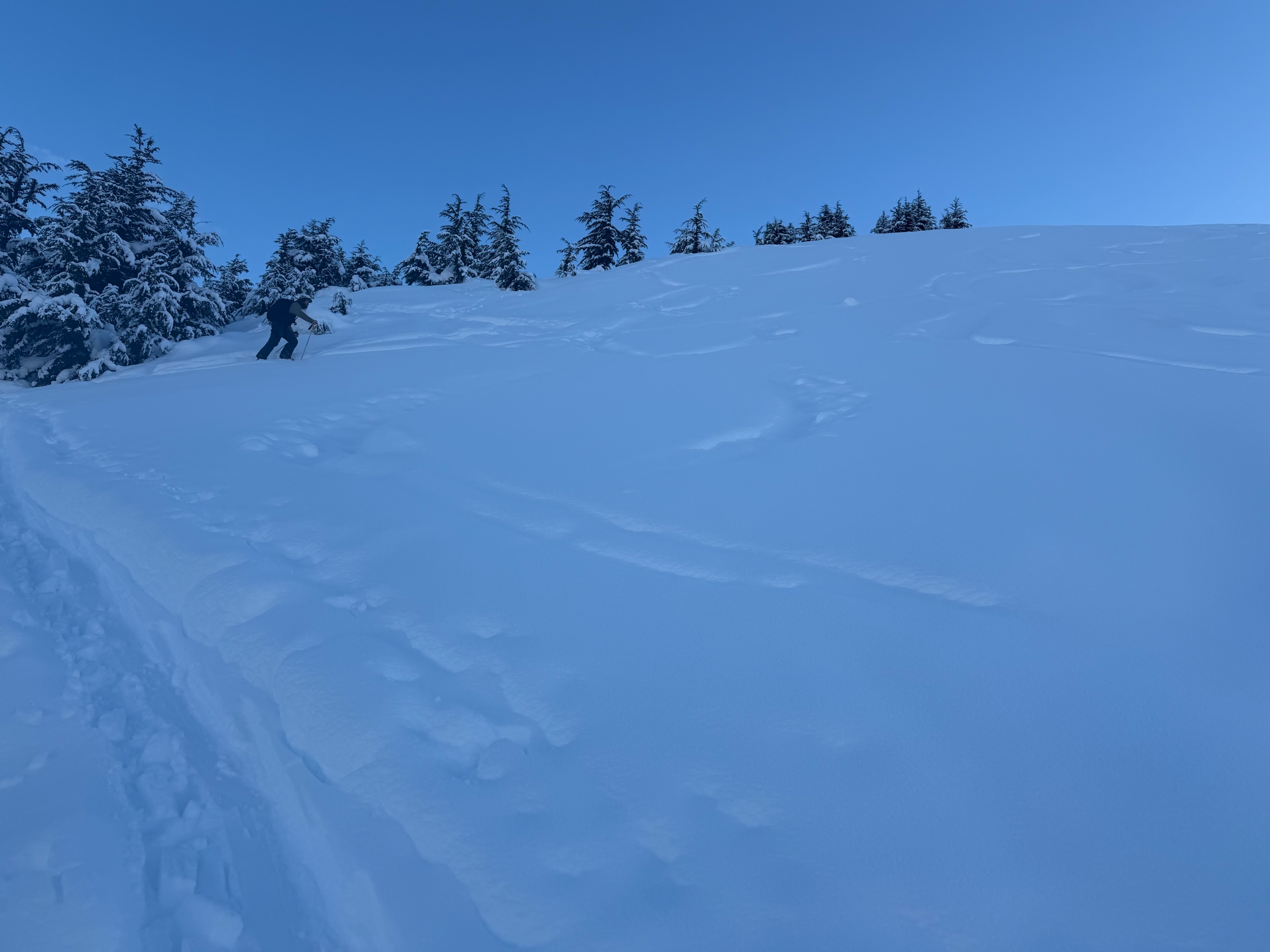
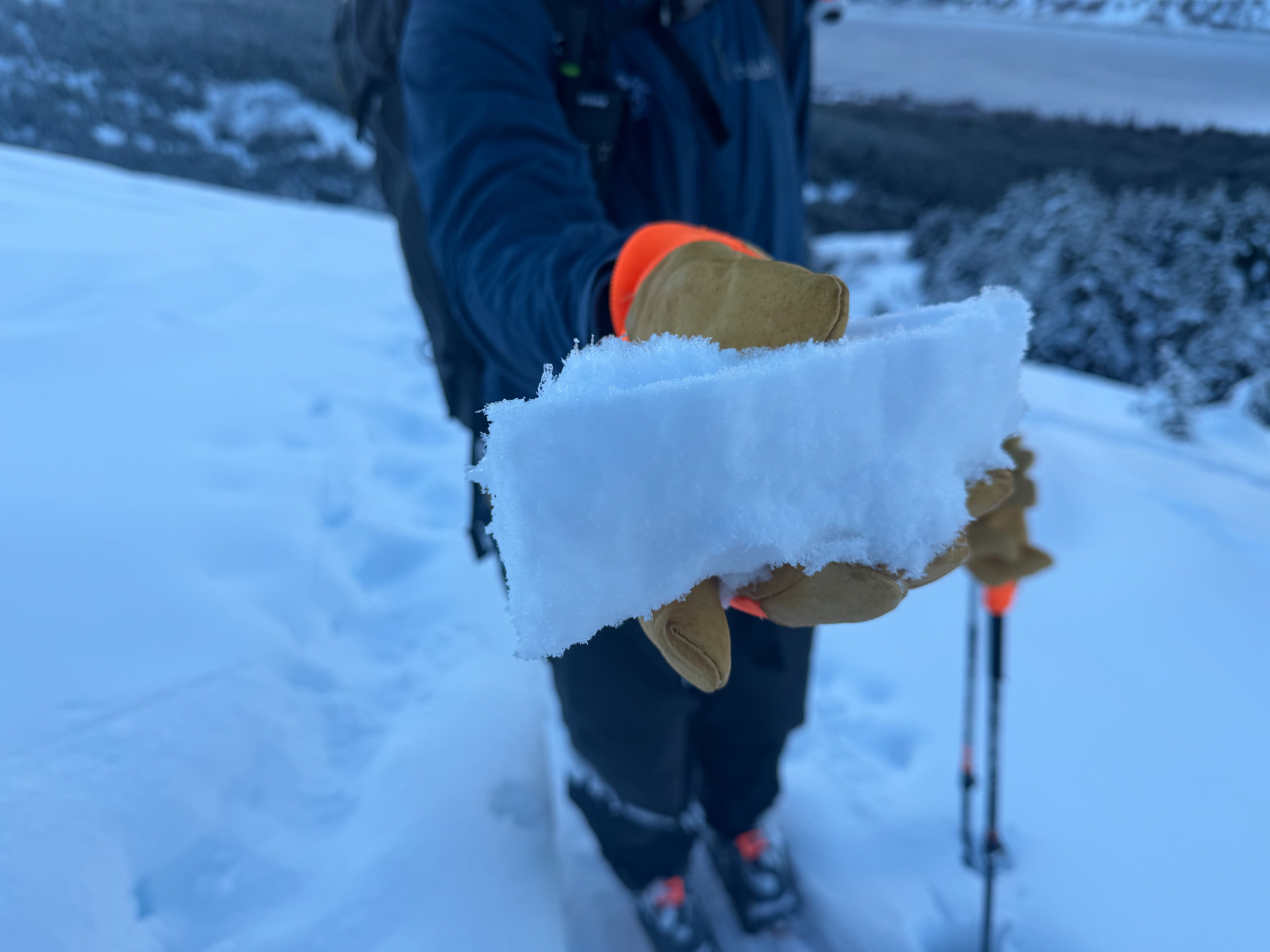
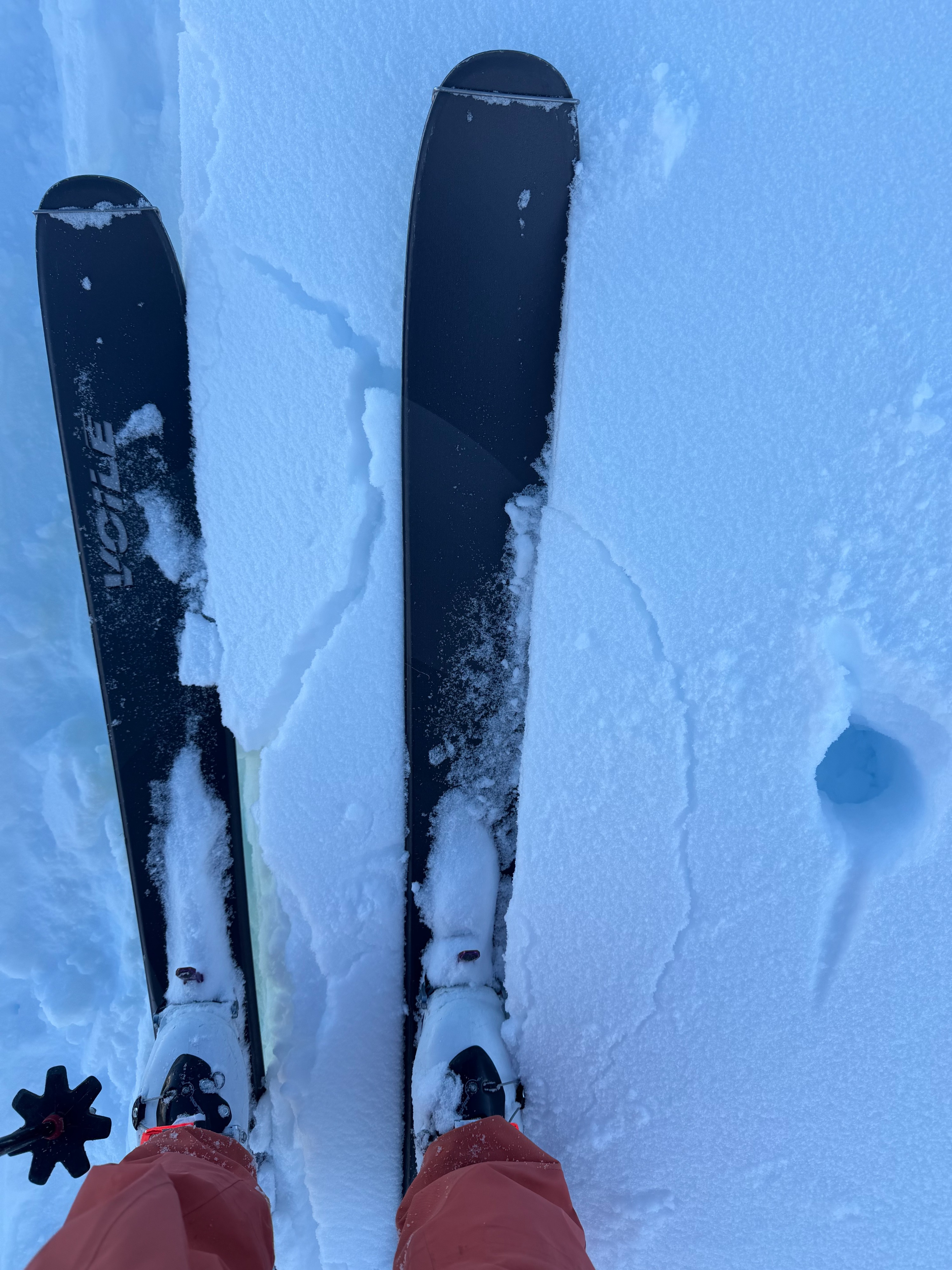
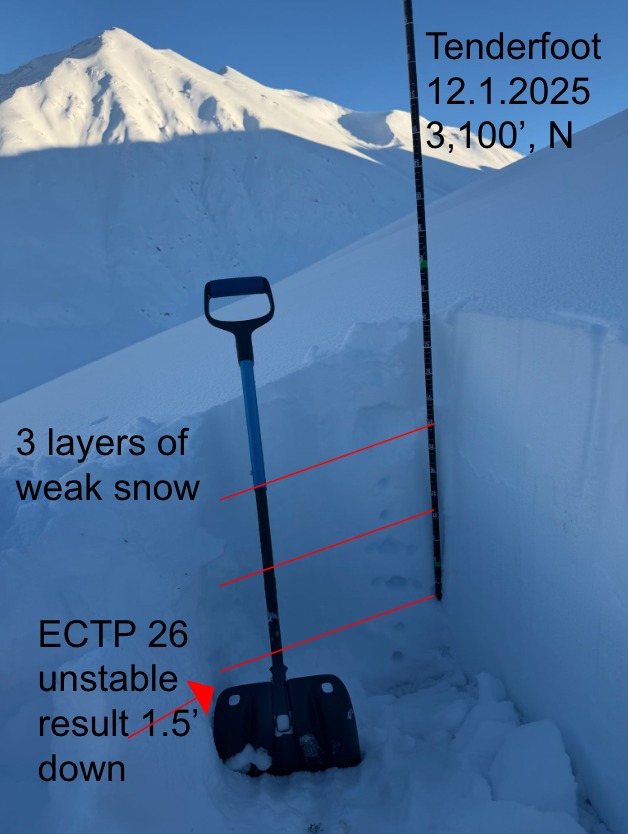
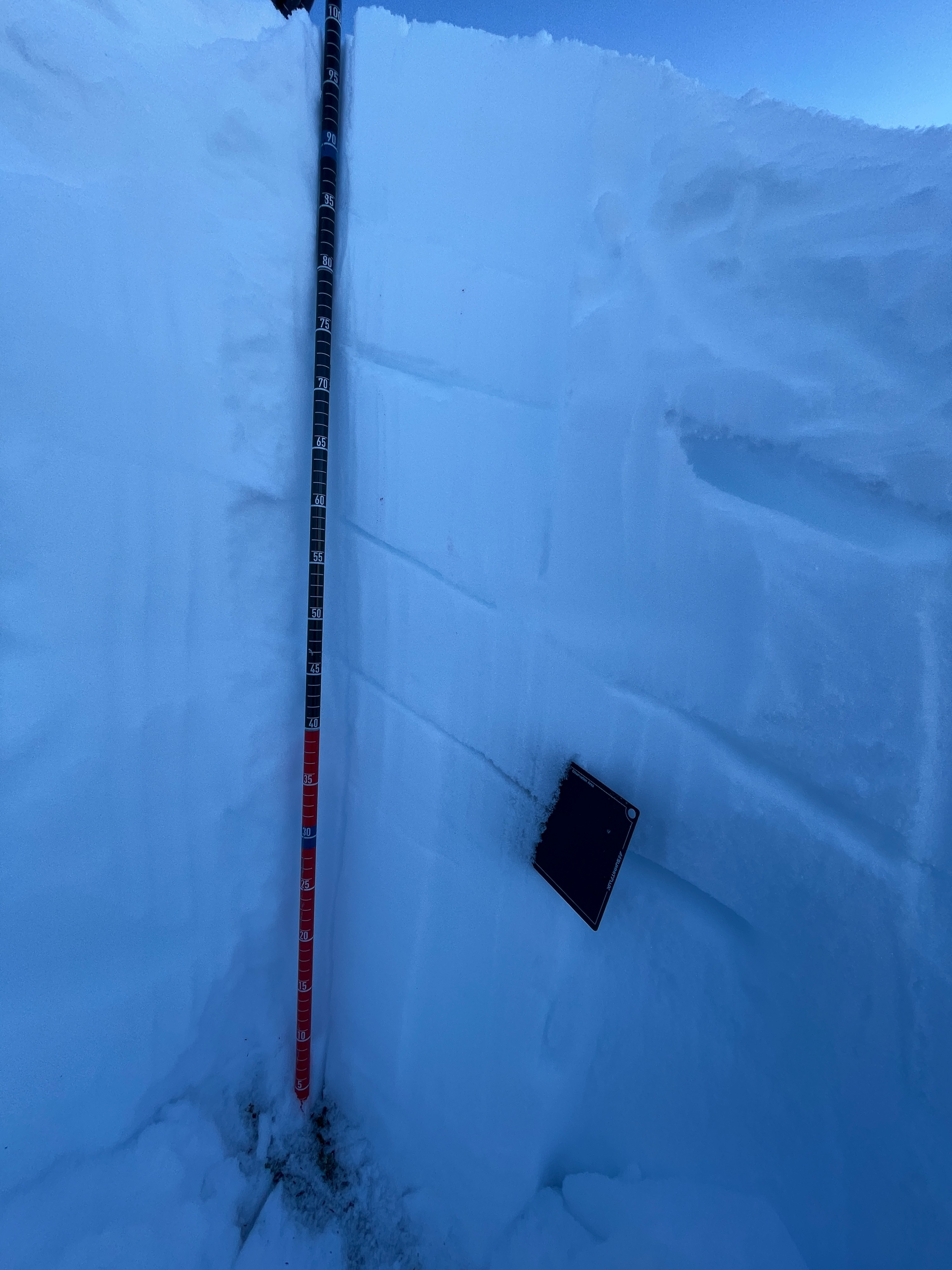
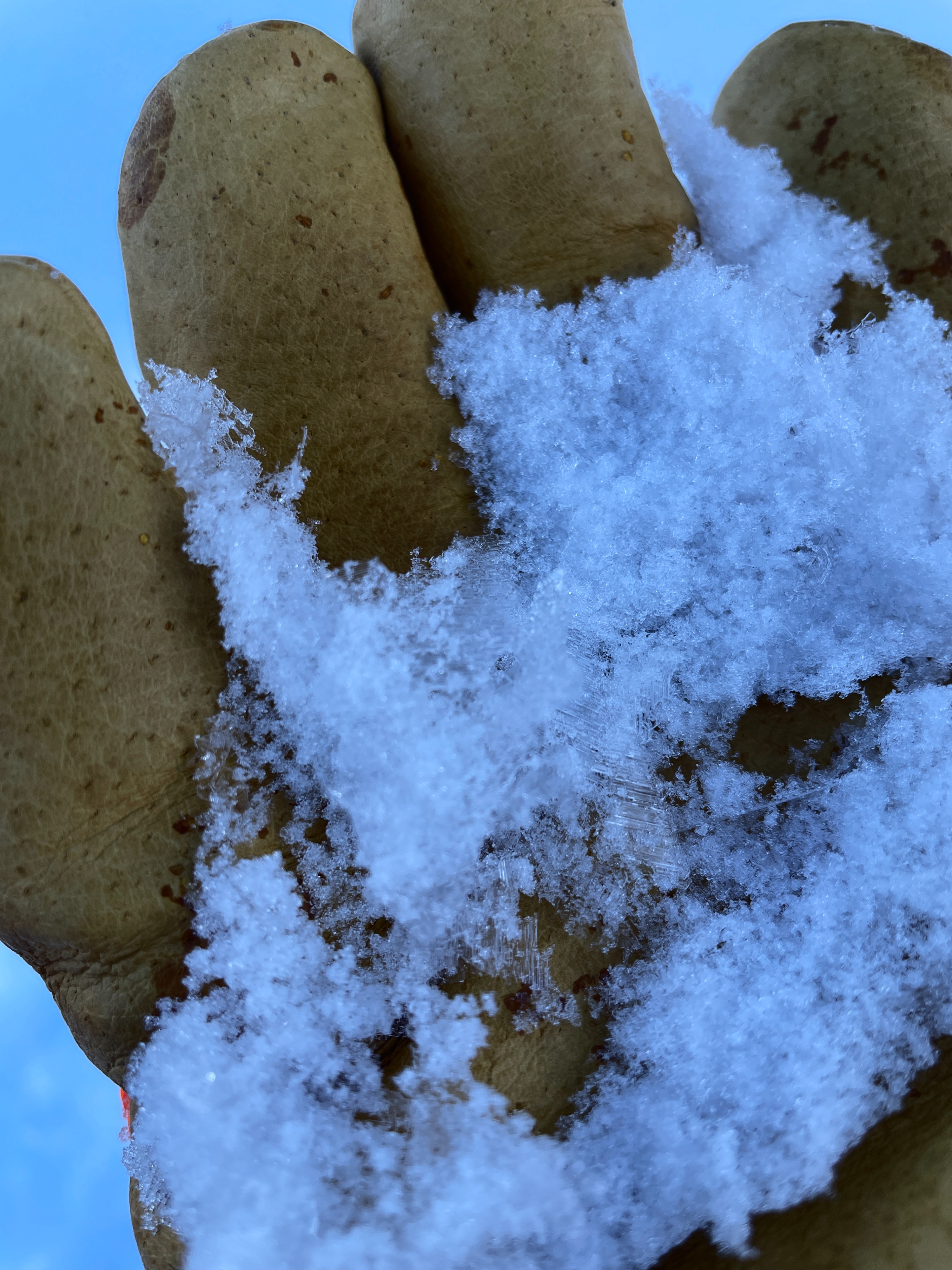
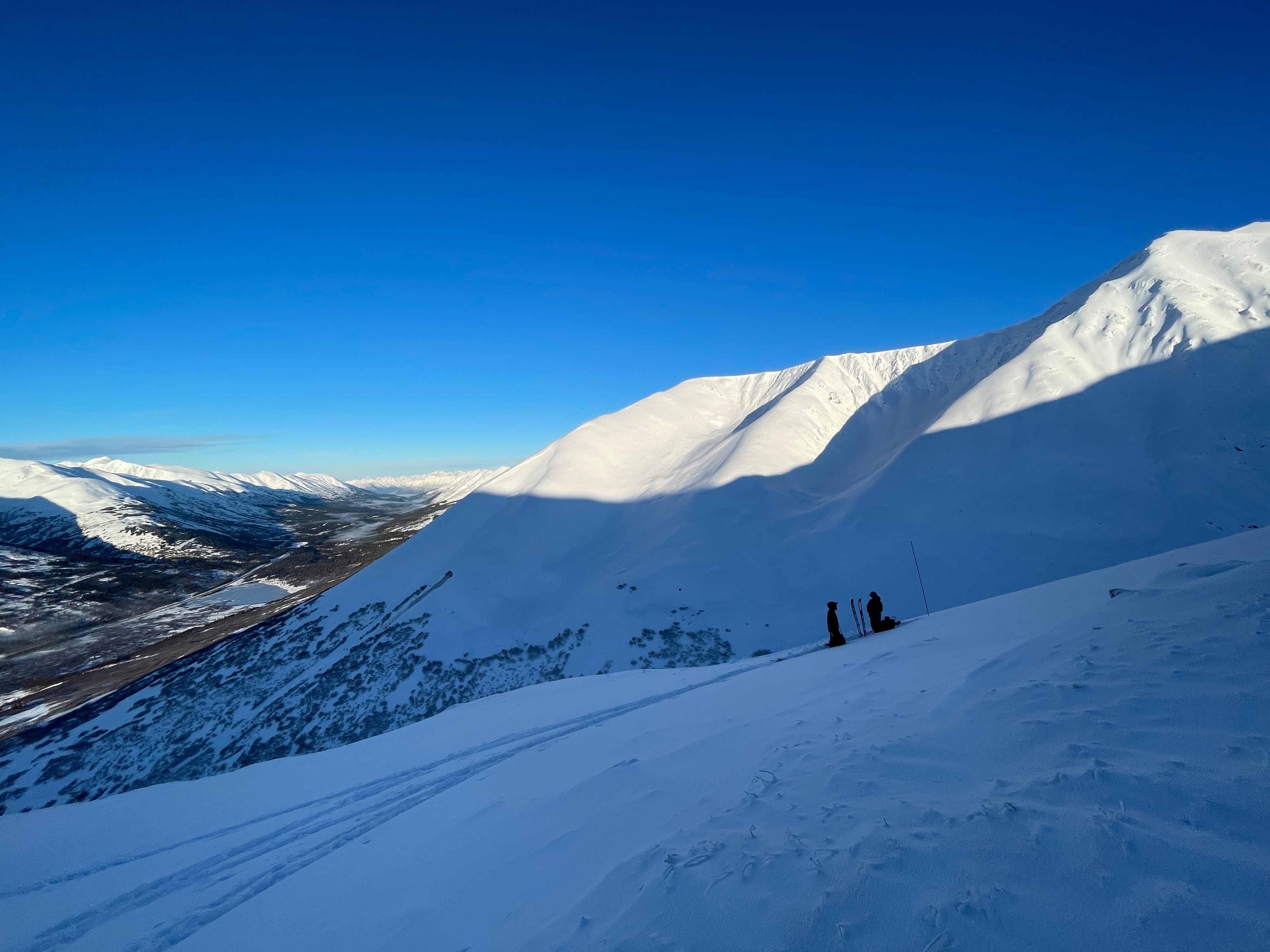
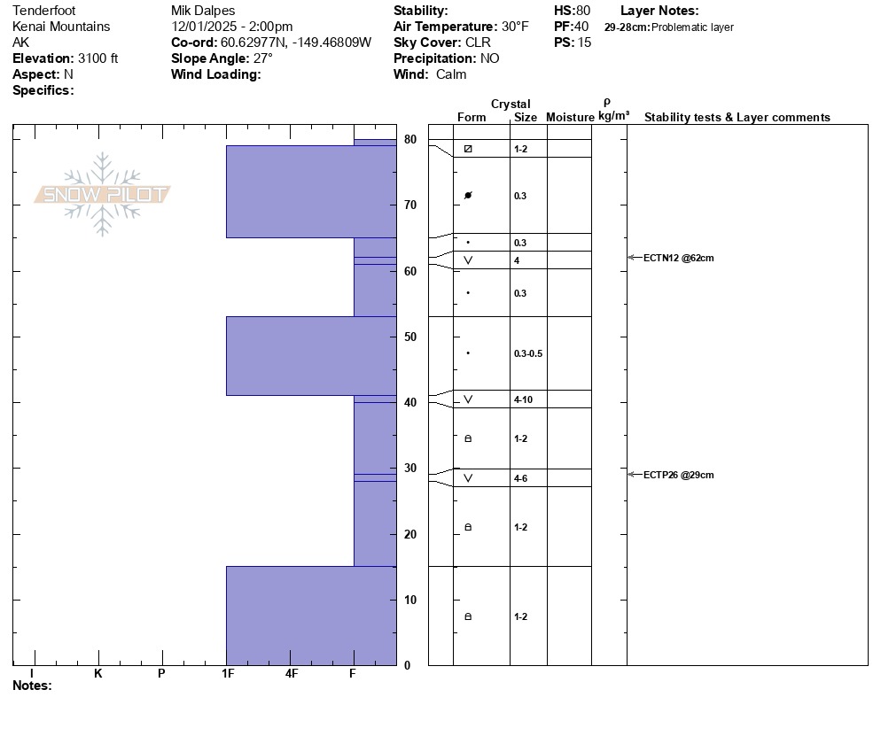
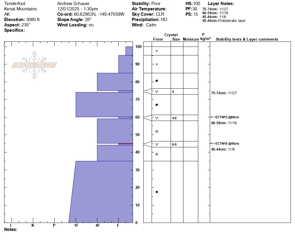
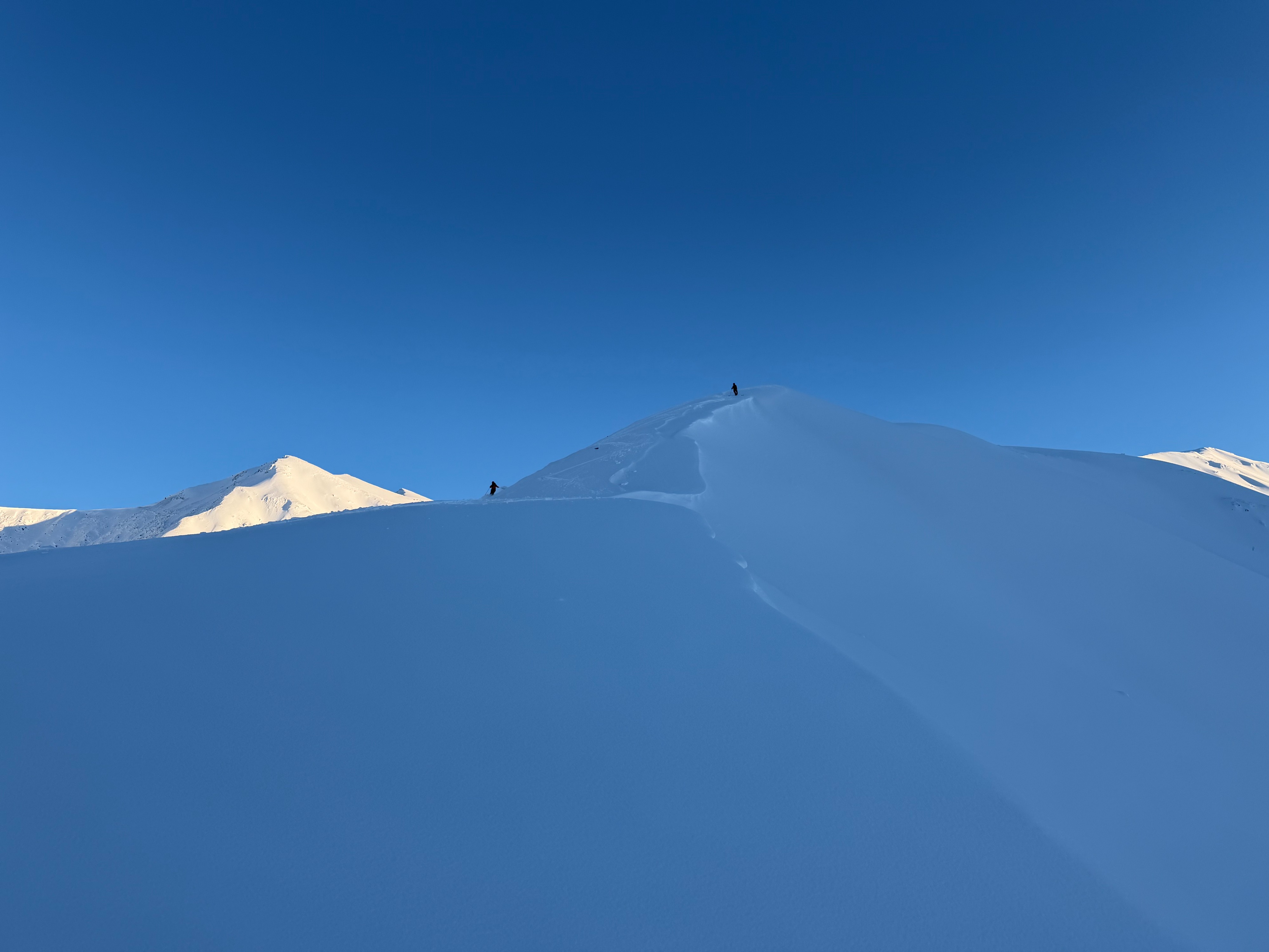
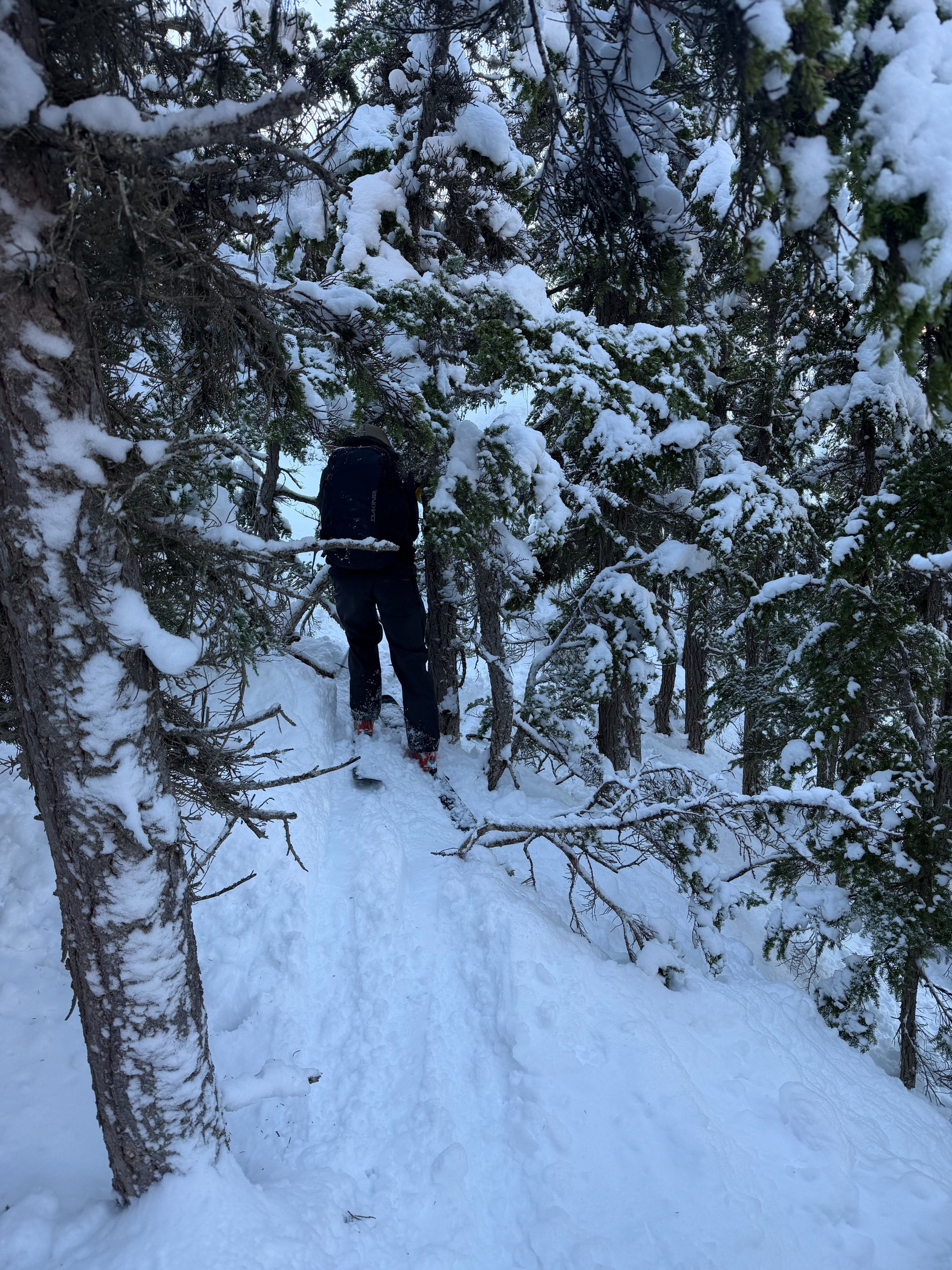
We toured up Tenderfoot today to see how high the rainline reached in Summit and to check the snowpack in the alpine. We found a breakable crust from the parking lot to 2,200' where the crust disappeared. Above that was soft dry powder until we got to treeline where the snow was wind pressed and cracked around our skis (different than shooting cracks). We dug several hand pits along our skin track and found several layers of buried surface hoar. We continued up the ridge where we dug two snowpits at 3,100', one on the north side and one on the south. We found three layers of buried surface hoar in both pits and got unstable results on the north side (ECTP26 down 50cm) on the surface hoar that was buried on November 6th by the Wagner storm. Unfortunately, buried surface hoar is a dangerous weak layer that is difficult to assess and unpredictable. We skied back down the ridge to about 2,600' where we skied the north side and traversed through the trees back to the west meadows. The lower section through the meadows was breakable and challenging.
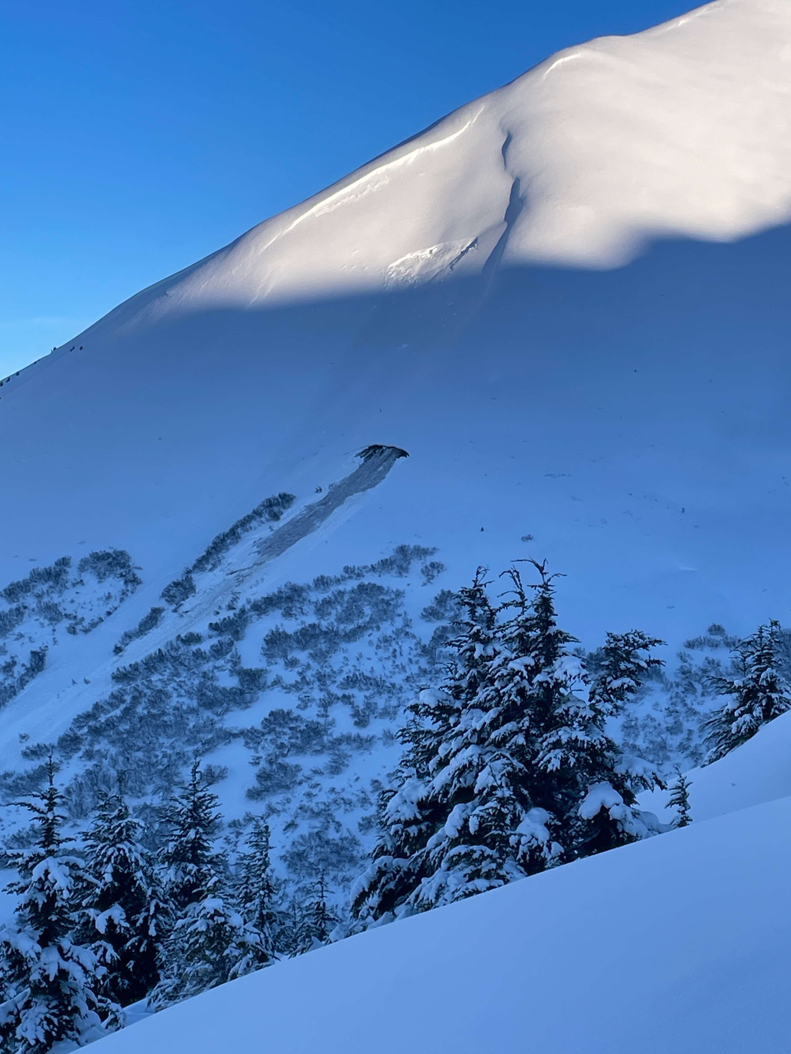
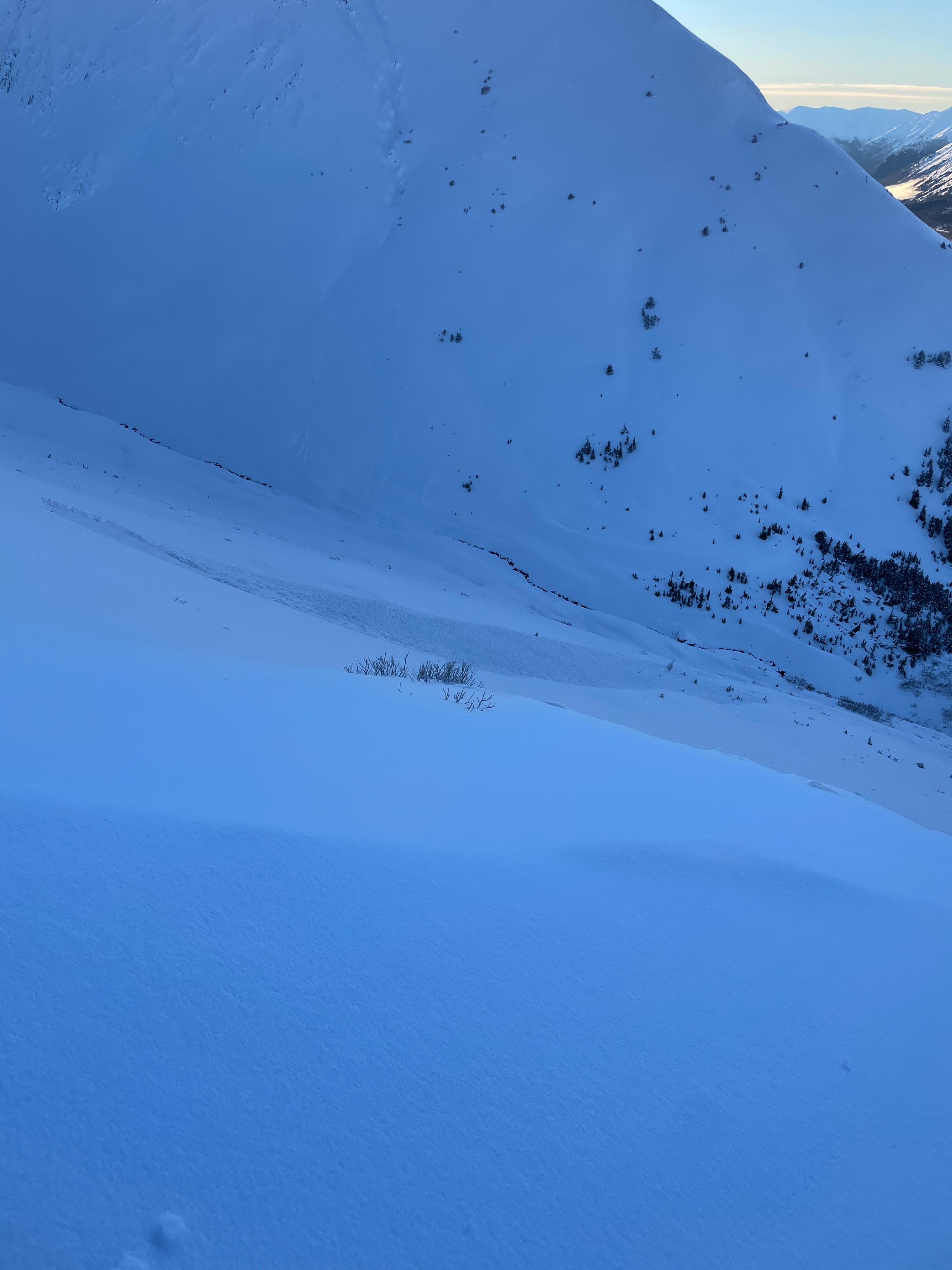
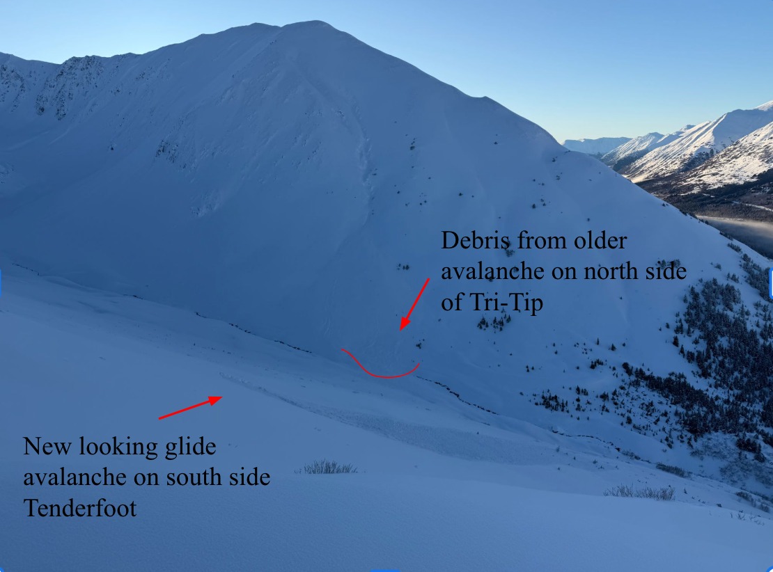
We noticed several new glide avalanches that had occurred within the last 24 hours.Weather
It was a great day in the backcountry with clear skies, calm wind, and temperatures around 30 degrees.
Snowpack
We toured up Tenderfoot today to see how high the rainline reached in Summit and to check the snowpack in the alpine. We found a breakable crust from the parking lot to 2,200' where the crust disappeared. Above that was soft dry powder until we got to treeline where the snow was wind pressed and cracked around our skis (different than shooting cracks). We dug several hand pits along our skin track and found several layers of buried surface hoar. We continued up the ridge where we dug two snowpits at 3,100', one on the north side and one on the south. We found three layers of buried surface hoar in both pits and got unstable results on the north side (ECTP26 down 50cm, 80cm total snow depth) on the surface hoar that was buried on November 6th by the Wagner storm. Unfortunately, buried surface hoar is a dangerous weak layer that is difficult to assess and unpredictable. We skied back down the ridge to about 2,600' where we skied the north side and traversed through the trees back to the west meadows. The lower section through the meadows was breakable and challenging.
Avalanche
- Size
- D2
- Aspect
- W
- Trigger
- N
- Elevation
- 3000 ft
We noticed at least 5 new glide avalanches that occurred in the last 24 hours, they had no new snow on the ground. There were 2 on the west side of Templeton, 1 on Tri-Tip, 1 on Colorado, and 1 on Butch.