
Quick report
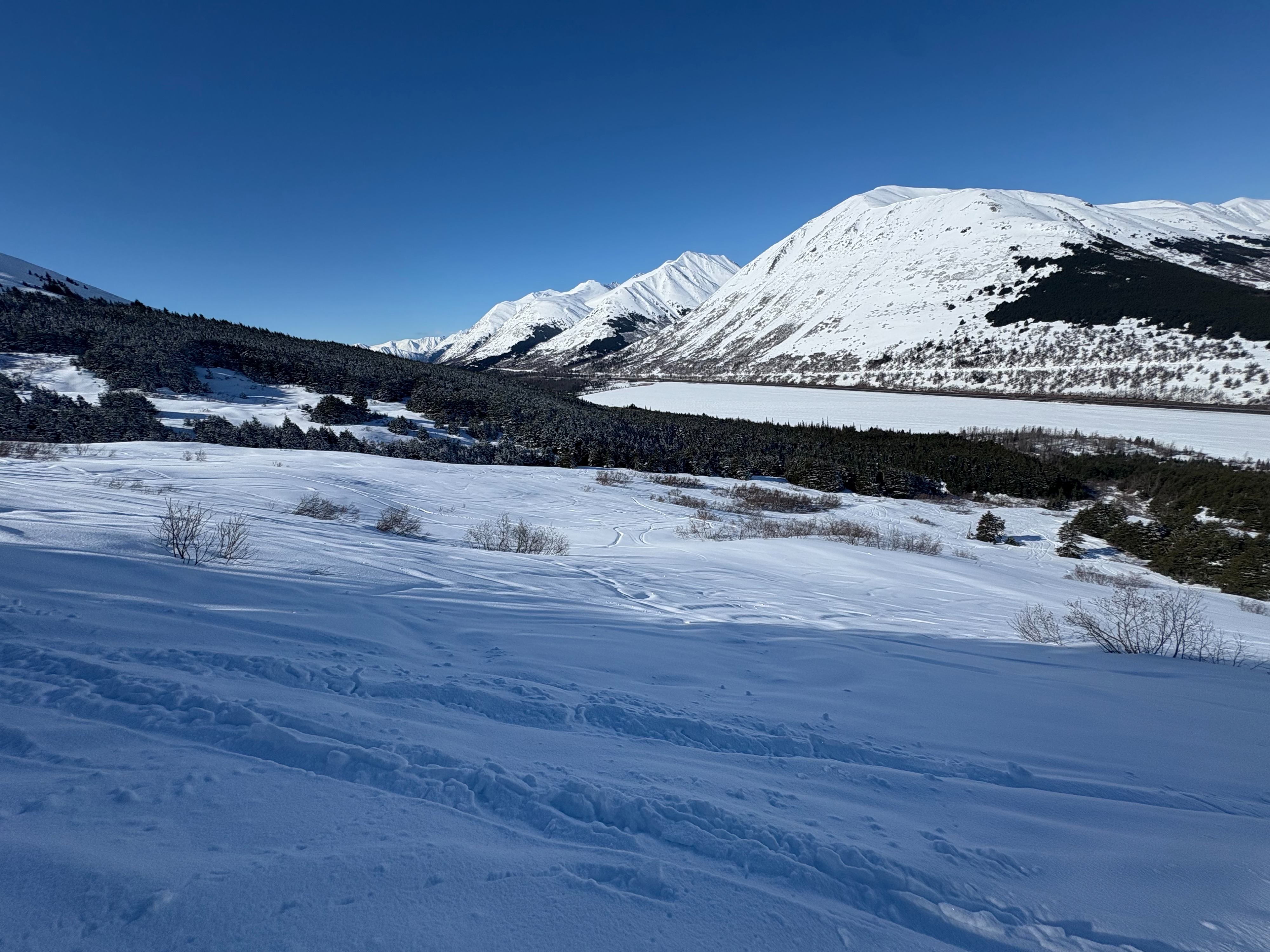
We traveled up Tenderfoot with the goal of checking storm totals and assessing how the new snow is bonding to previous surfaces. From the parking area up to about 1700 feet, the snow surface had locked up overnight and was hard and frozen. Above this elevation, we found about 3 to 4 inches of storm snow sitting on a variety of old surfaces. On southerly aspects, the new snow rested on a stout melt freeze crust. On northerly aspects, it sat on weaker faceted snow and in some places on old wind crust.
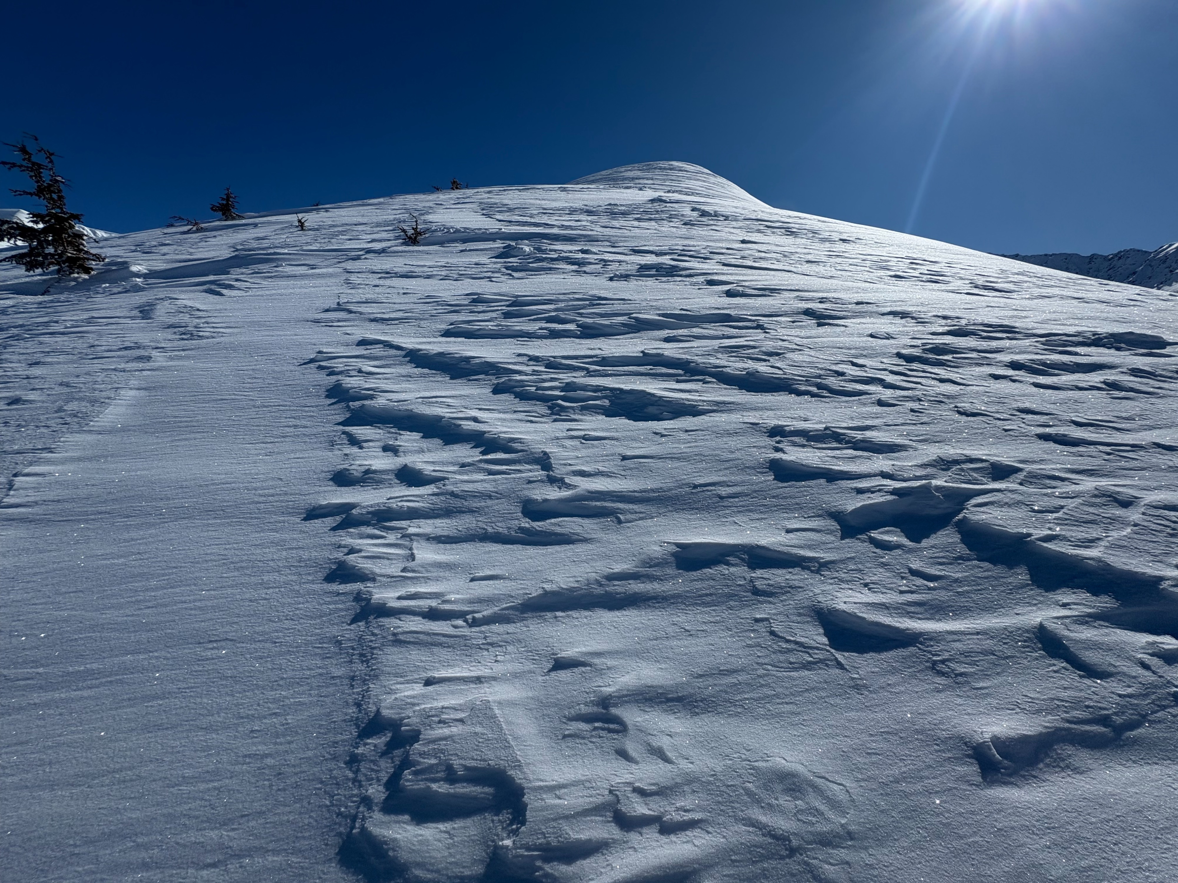
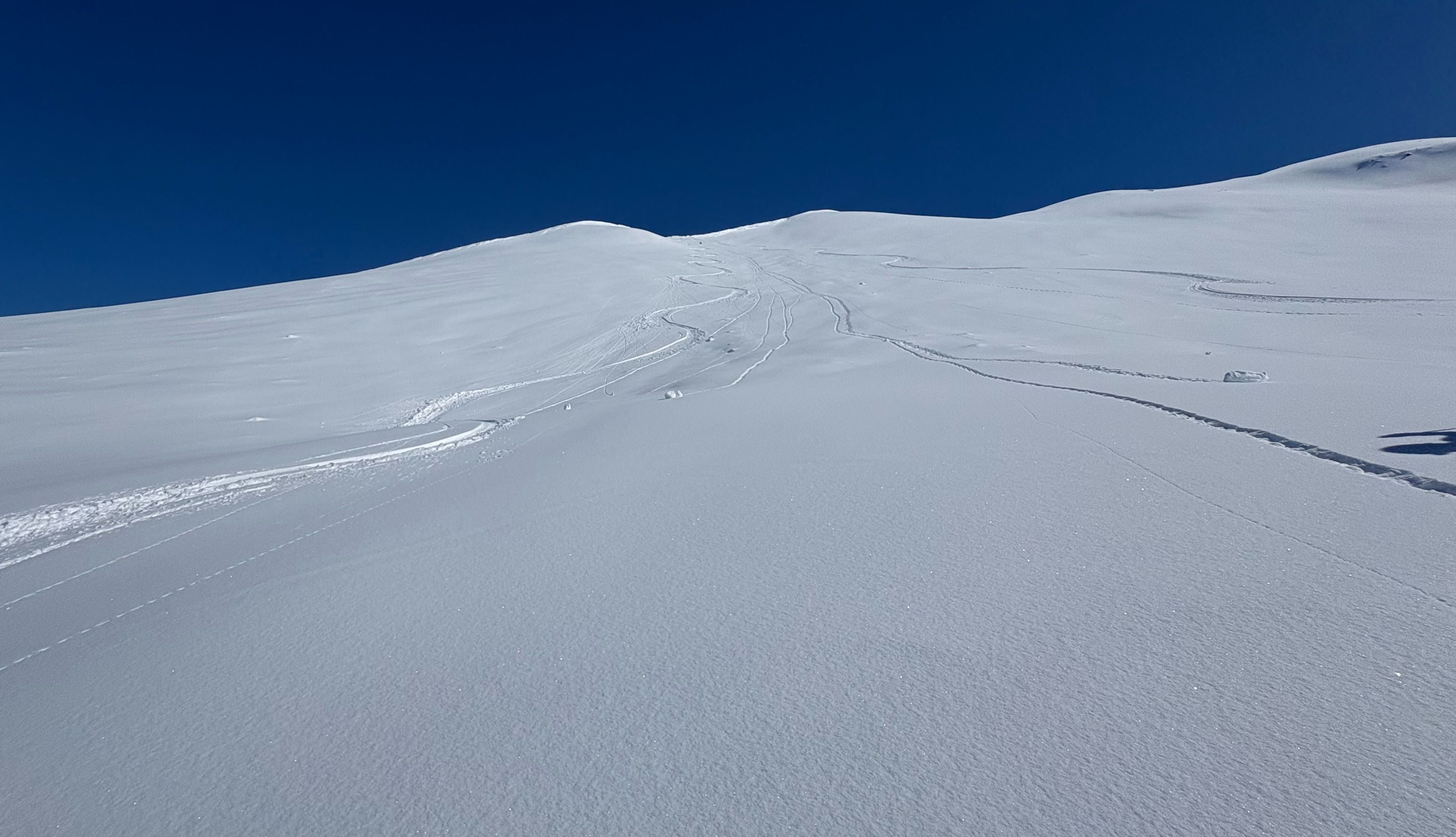
Near treeline around 2500 feet, we found the ridge largely stripped down to old hard snow. We initially hesitated to continue due to clear signs of prior wind effect, but after evaluating the route we determined the ridge was mostly scoured, with snow deposited on adjacent southerly slopes. When we crested the ridge, we immediately noticed much warmer conditions on southerly aspects and observed a few roller balls starting around 1 PM.
We found generally good stability on southerly slopes, but the snowpack was warming quickly. It seemed possible that if we stuck around we could possibly trigger loose wet avalanches on steep solar aspects as the snow was getting very wet. In addition, in several wind loaded pockets, hand pits revealed shallow wind slabs that were not well bonded to the underlying surface although we did not encounter any of these pockets in terrain that was steep enough to avalanche and avoided skiing wind loaded features on the south slopes of Tenderfoot.
Weather
- Cloud Cover
- few
- Wind Loading
- previous
- Recent Snowfall
- 3-4 inches
- Snow Avail For Transport
- moderate amounts
We had 40+ degree temperatures at the car, calm wind, mostly clear skies.
Snowpack
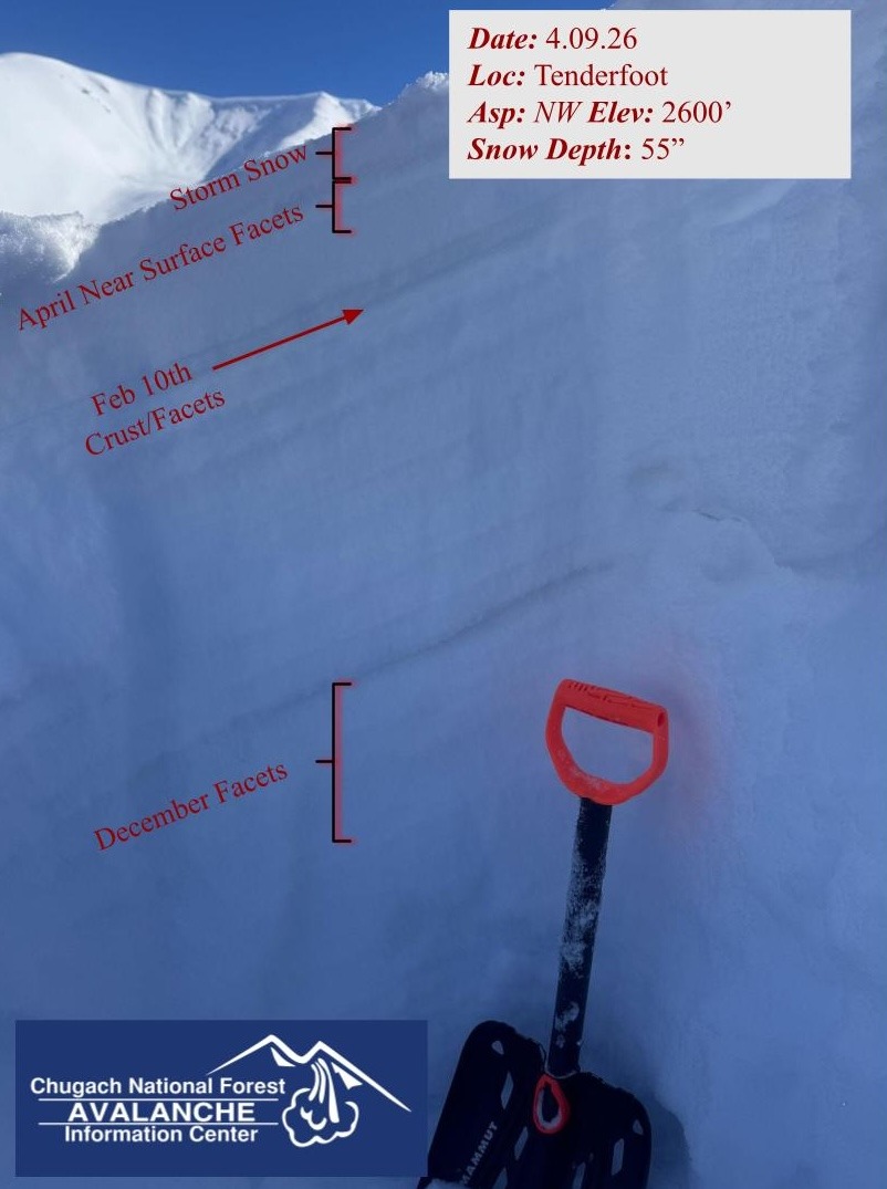
We dug a snowpit on a northwest aspect at 2600 ft and found generally good stability, although the overall snowpack structure is not showing signs of improvement. Poor structure at this location was characterized by depth hoar at the base, large advanced mid pack facets from December, and a facet, crust sandwich about 10 inches below the surface (February melt-freeze crust). The upper 8 inches of snow above this facet/crust from February was composed of a couple inches of near surface facets capped by our recent storm snow.
Snowpit
- HS: 140 cm
- Elevation: 2,600 ft
- Aspect: 311° (NW)
- ECTN3 @ 6 cm↓ ECTN12 @ 22 cm↓
Avalanche
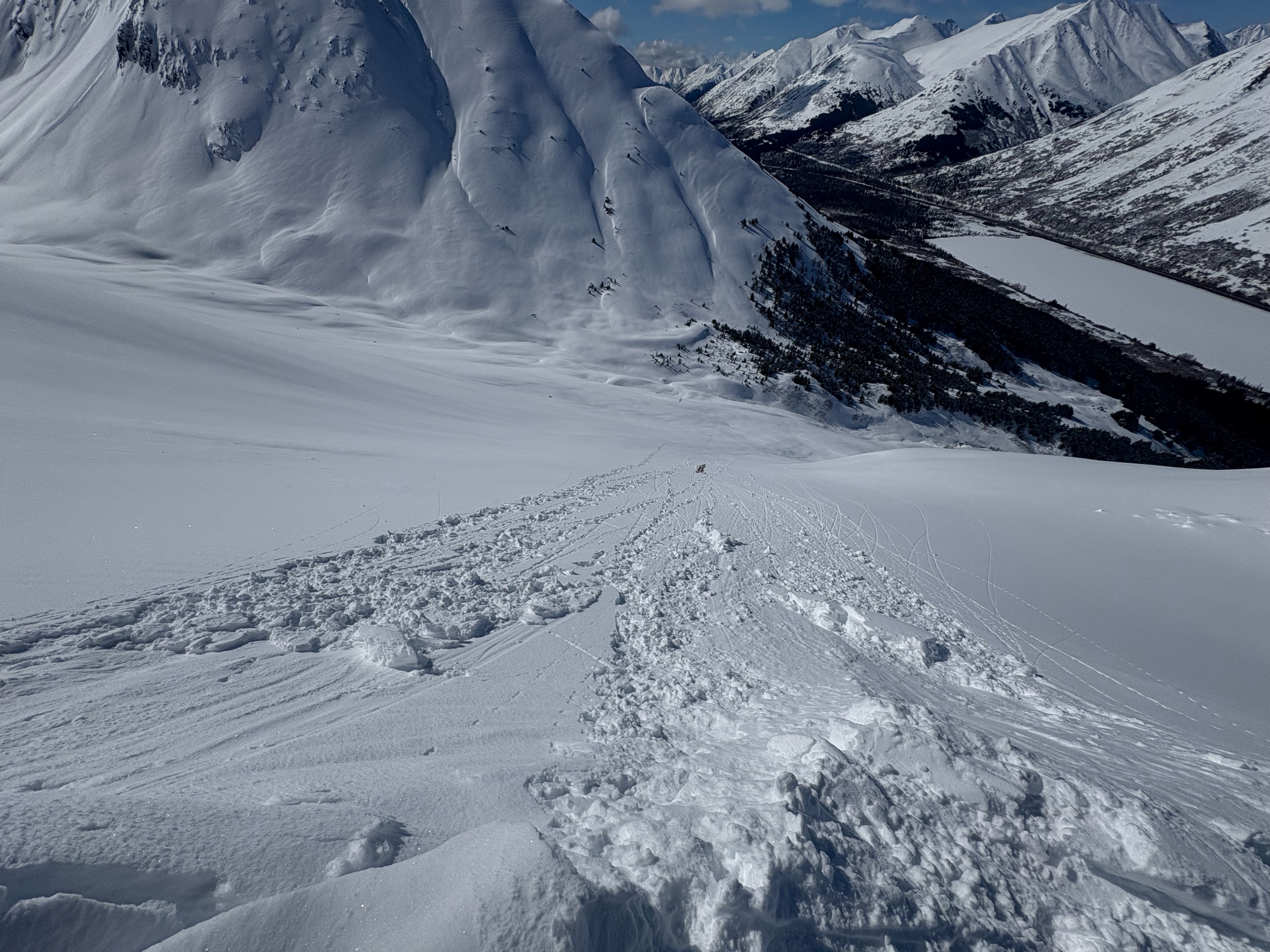
We left the field around 2 pm today. At that time, we observed a fair amount of small D1 to D1.5 loose wet point releases on southerly aspects in both the Summit and Turnagain areas. While activity was less than expected, we suspect additional releases may have occurred after our departure on steep, solar aspects.