
Quick report
We traveled to the Central Whitefish Range to see how the recent avalanche activity would compare to the large cycles documented in the Flathead Range, Skyland area, and near Condon.
- We found recent avalanches limited in size and distribution. This makes sense as this area recieved less snow prior to the rain and warming.
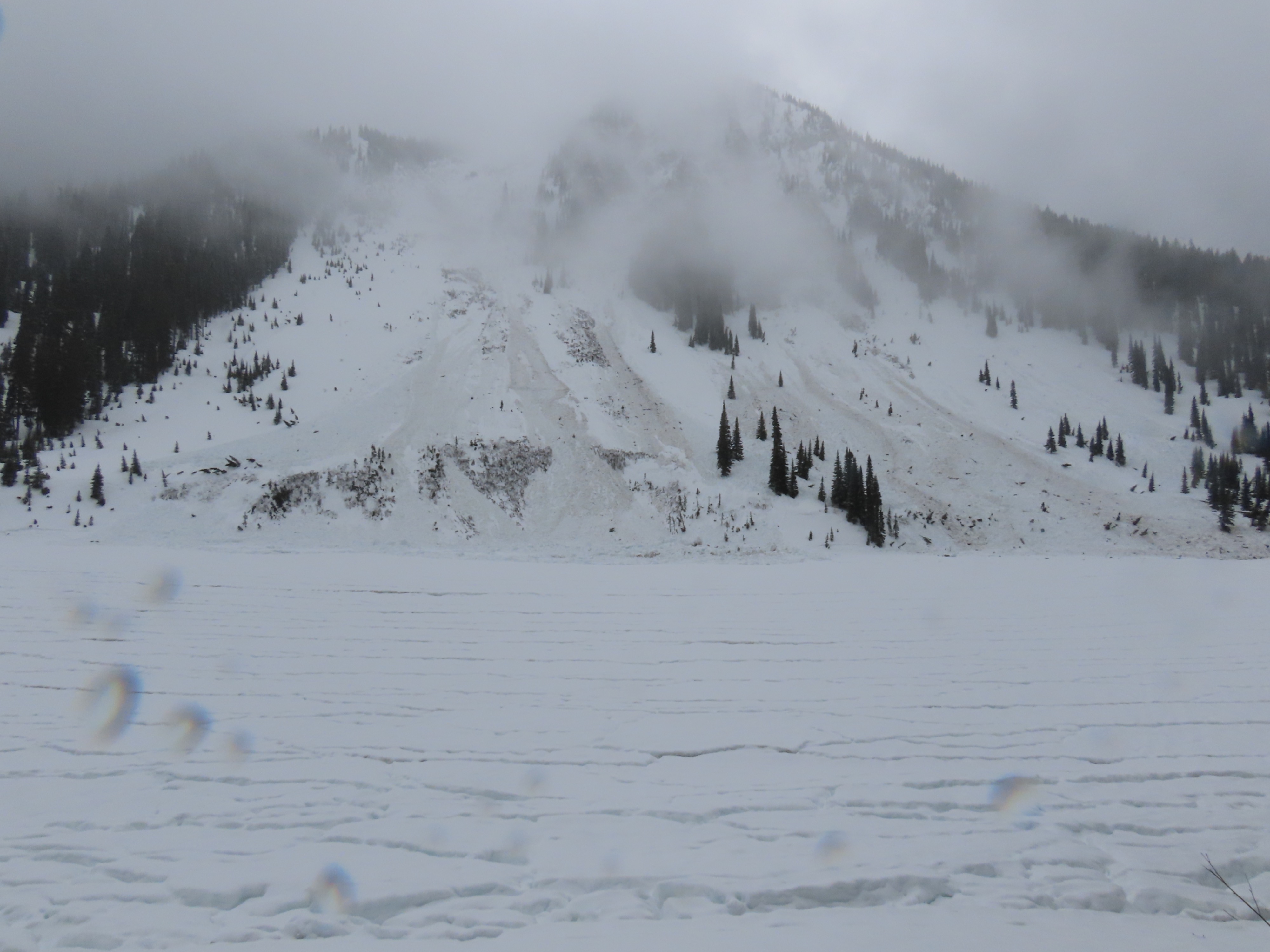
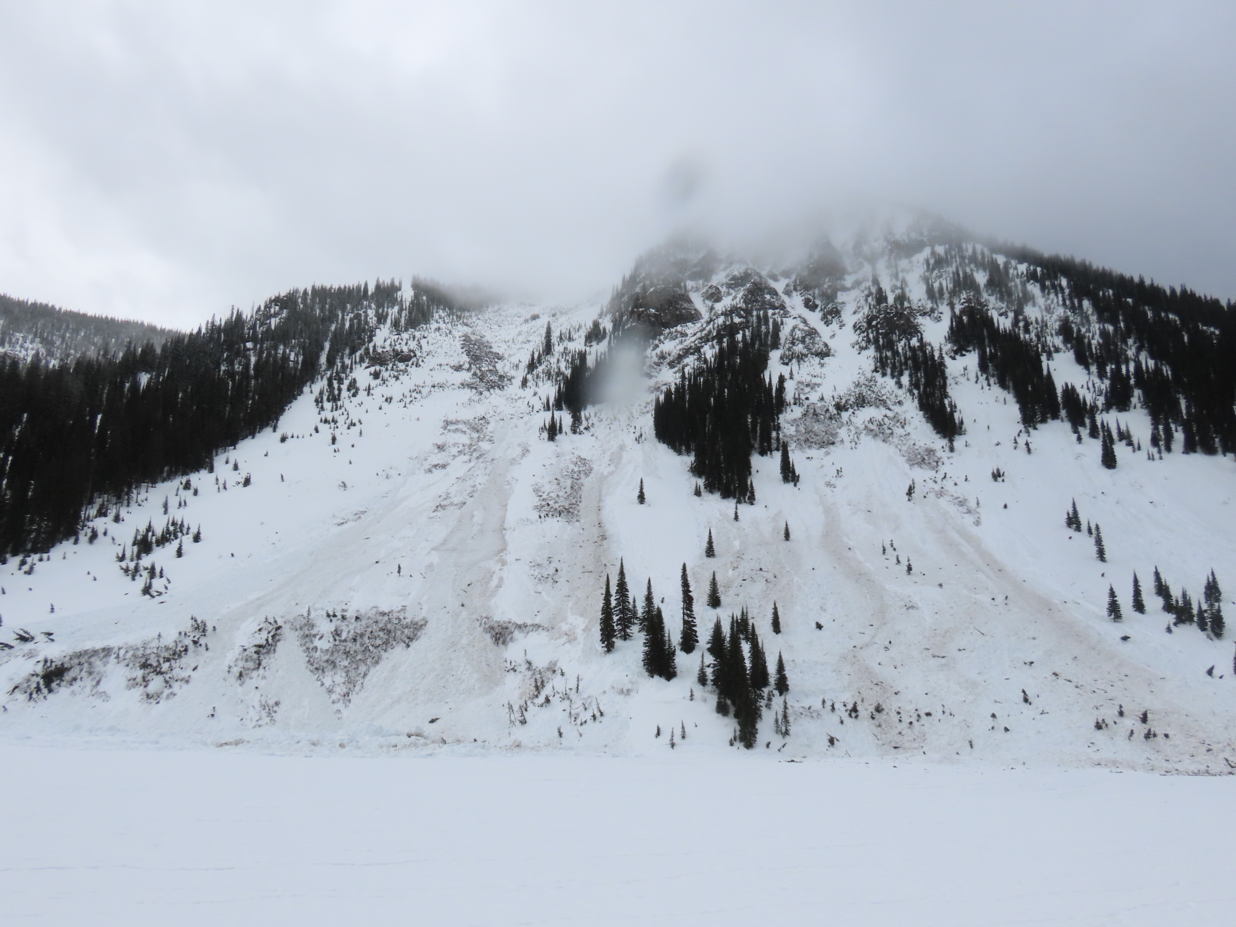
- Saw large any dirty debris piles below Red Meadow Peak. Other observed avalanches were small in size.
- The big avalanche paths off Link Mountain and the West Side of the Whitefish Crest had not produced large avalanches
- The snowpack was wet to the gound where we traveled (maximum elevation of 6400')
- Above 5500' there was a 1 to 2 inch semi-supportable crust at the surface.
- We experienced all forms of precipitation. Snow was more prevalent above 6200' or East of Red Meadow.
- I saw a mosquito.
We enjoyed soft shmooey riding on and around the rodes and didn't get completely soaked through.
Weather
- Cloud Cover
- obscured
- Wind Loading
- none
- Rain Elevation
- 6200'
- Recent Snowfall
- 2
- Snow Avail For Transport
- none
Various combinations of fog, rain, graupel, snow and filtered sunshine.
Snowpack
@ 6400' N
- 3 cm 1F crust on top of 4F wet to very wet melt forms.
Avalanche
- Size
- D1.5 R1
- Type
- WS
- Count
- 2
- Aspect
- SE
- Trigger
- N
- Elevation
- 6000 ft
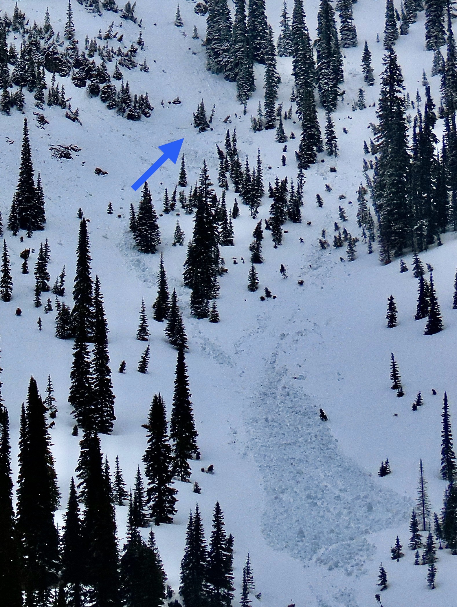
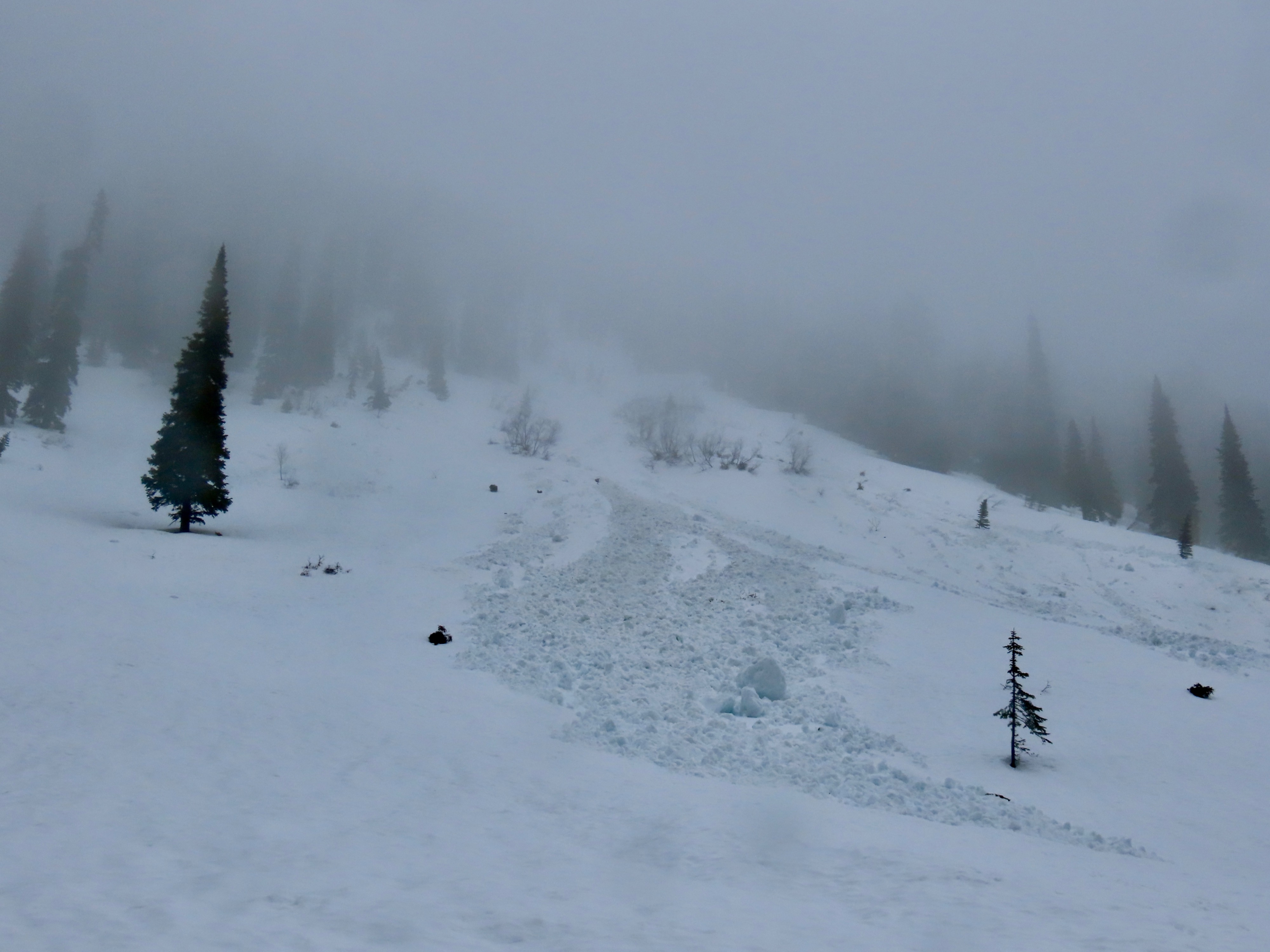
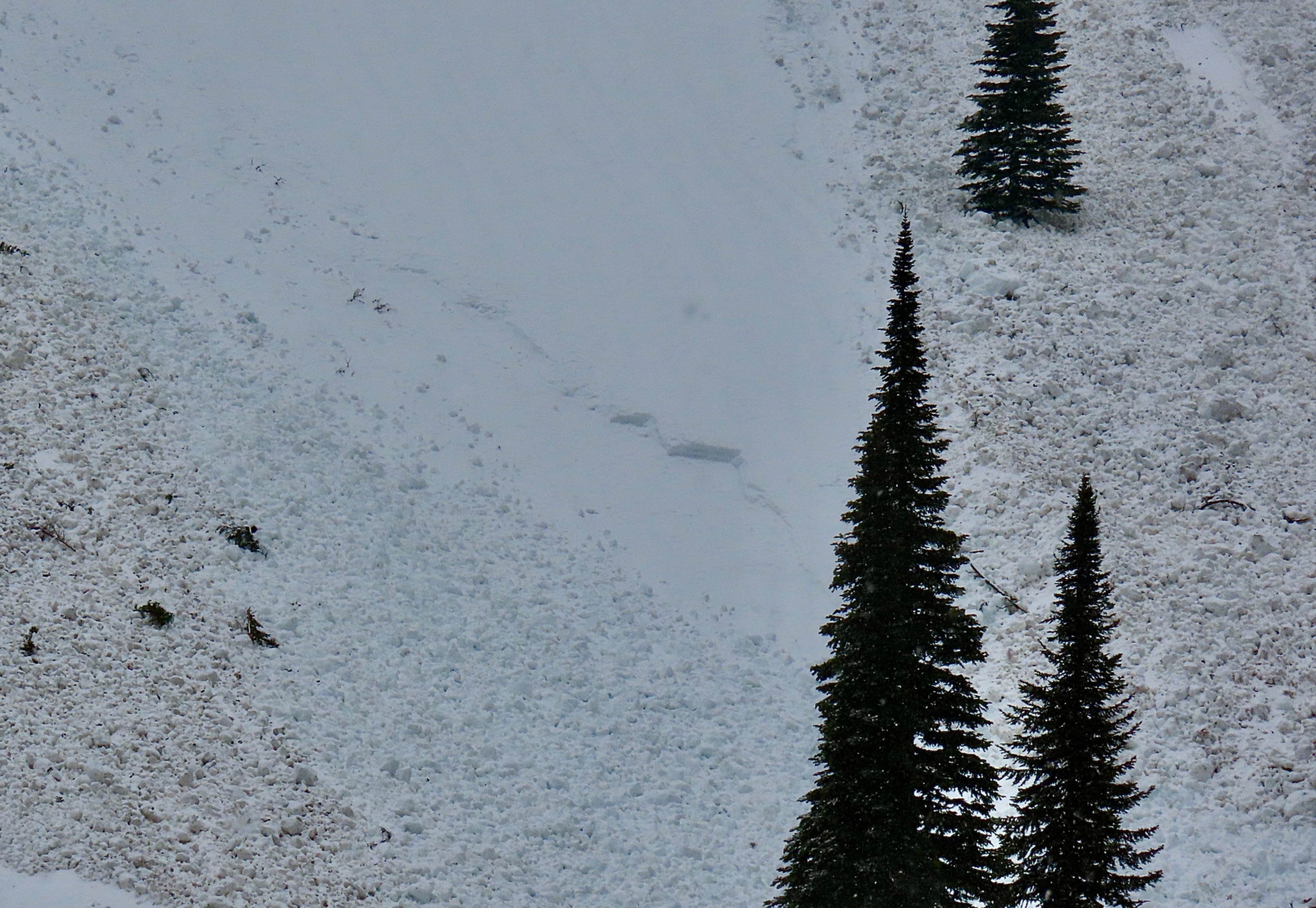
Large piles of wet debris at the base of Red Meadow Peak. Could not see the upper start zones, but several small crowns along the track. Various other small loose wet and slab avalanches.