
GTSR - Greater Granite
Quick report
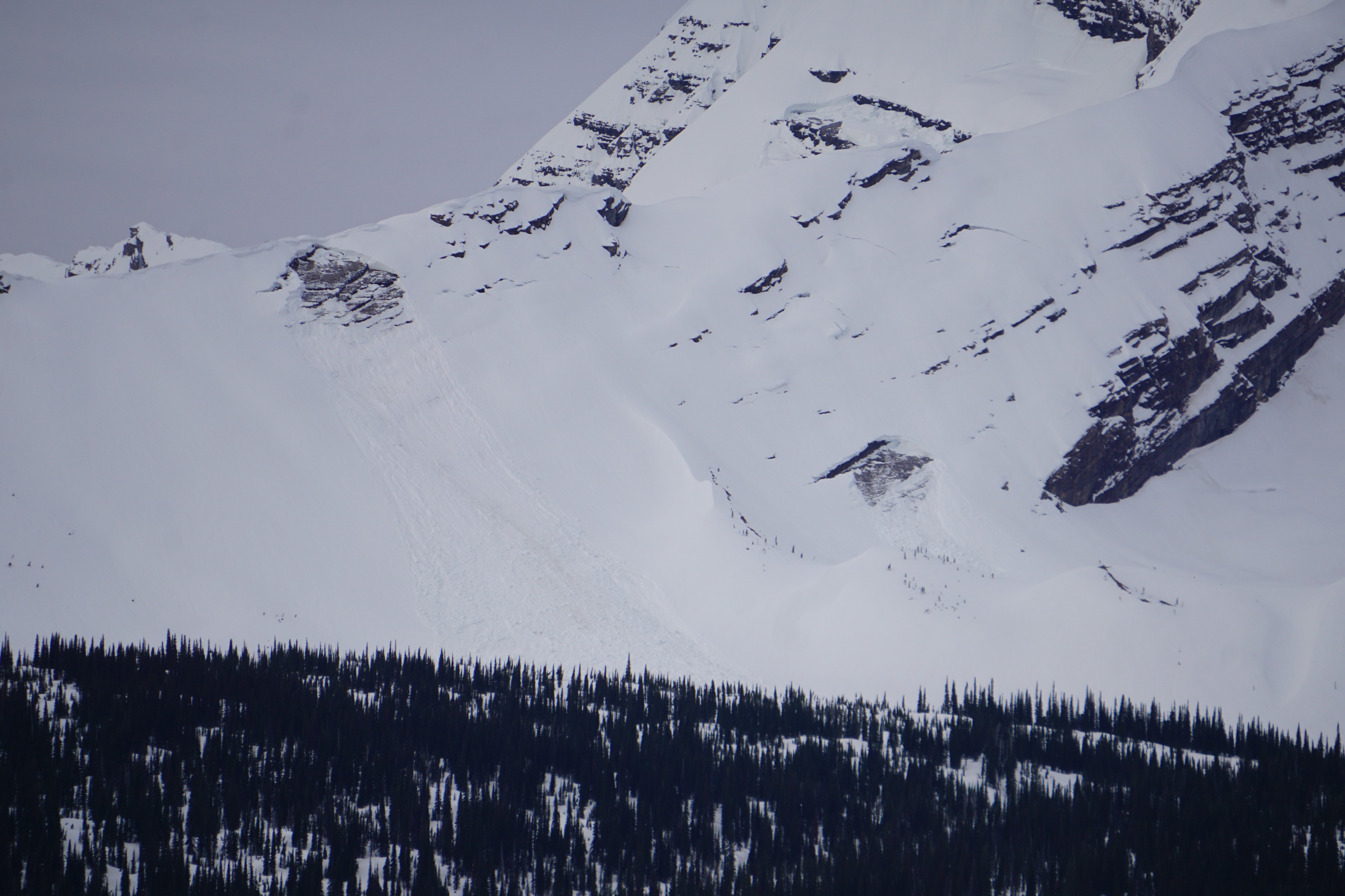
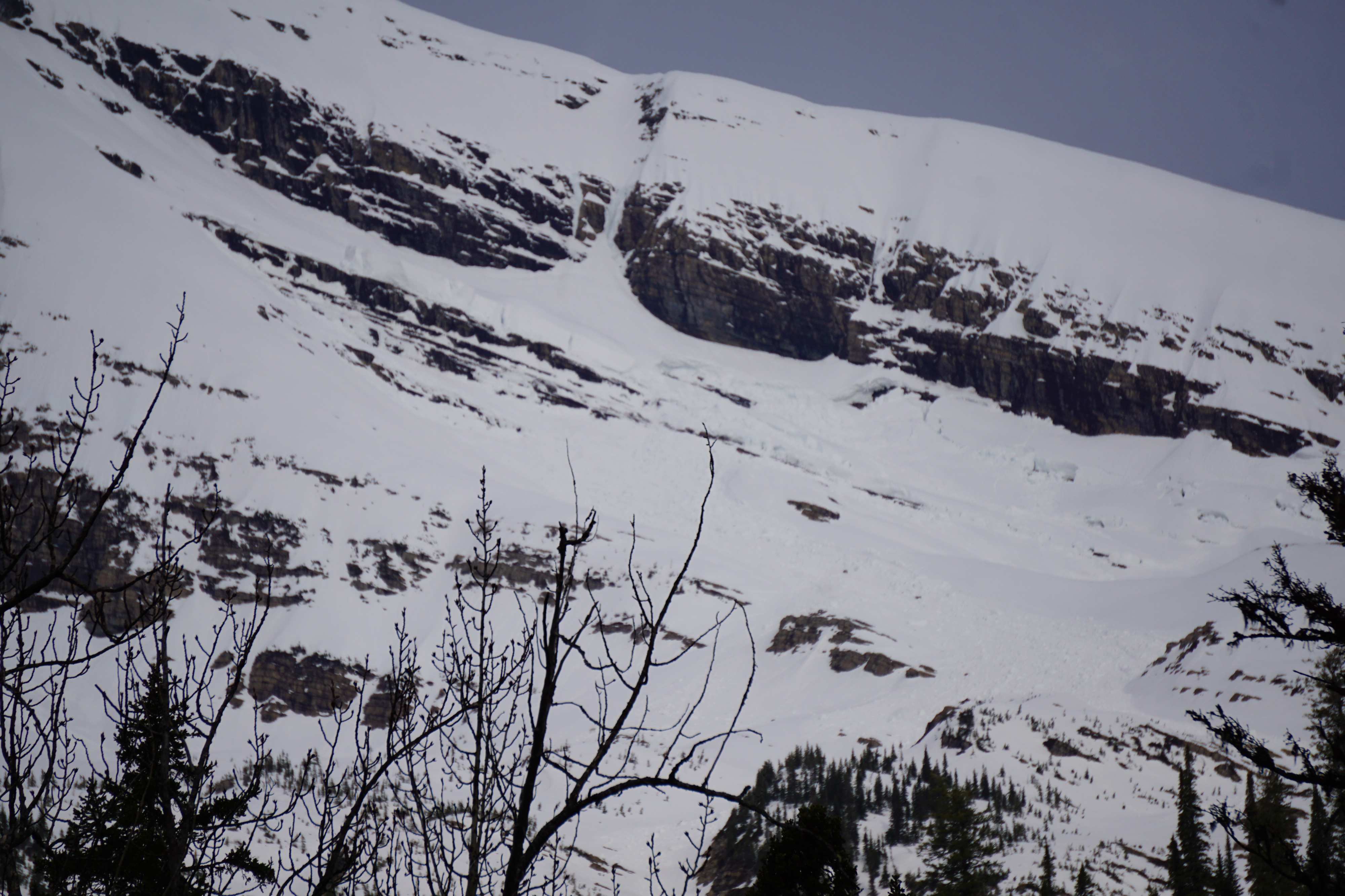
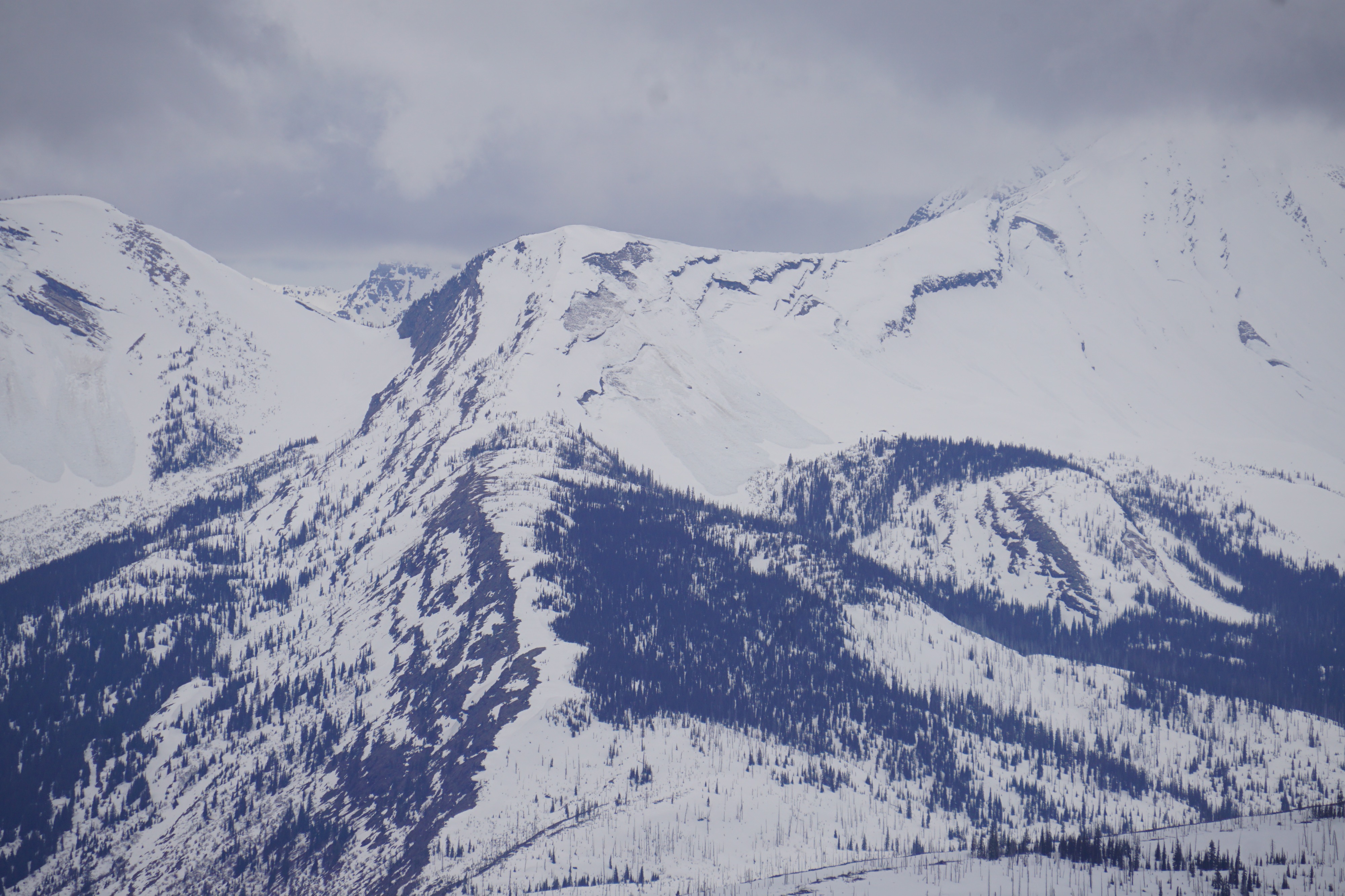
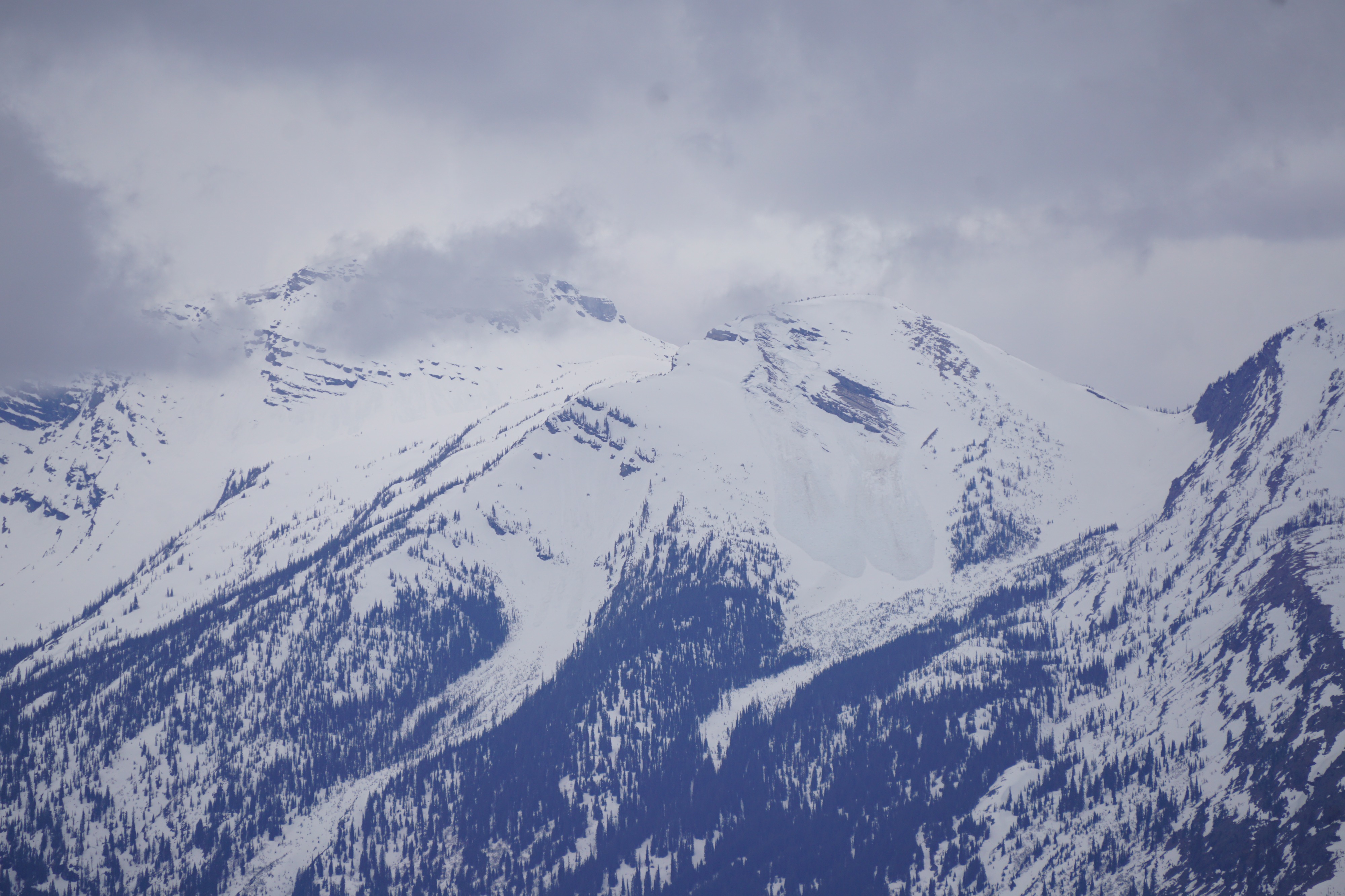
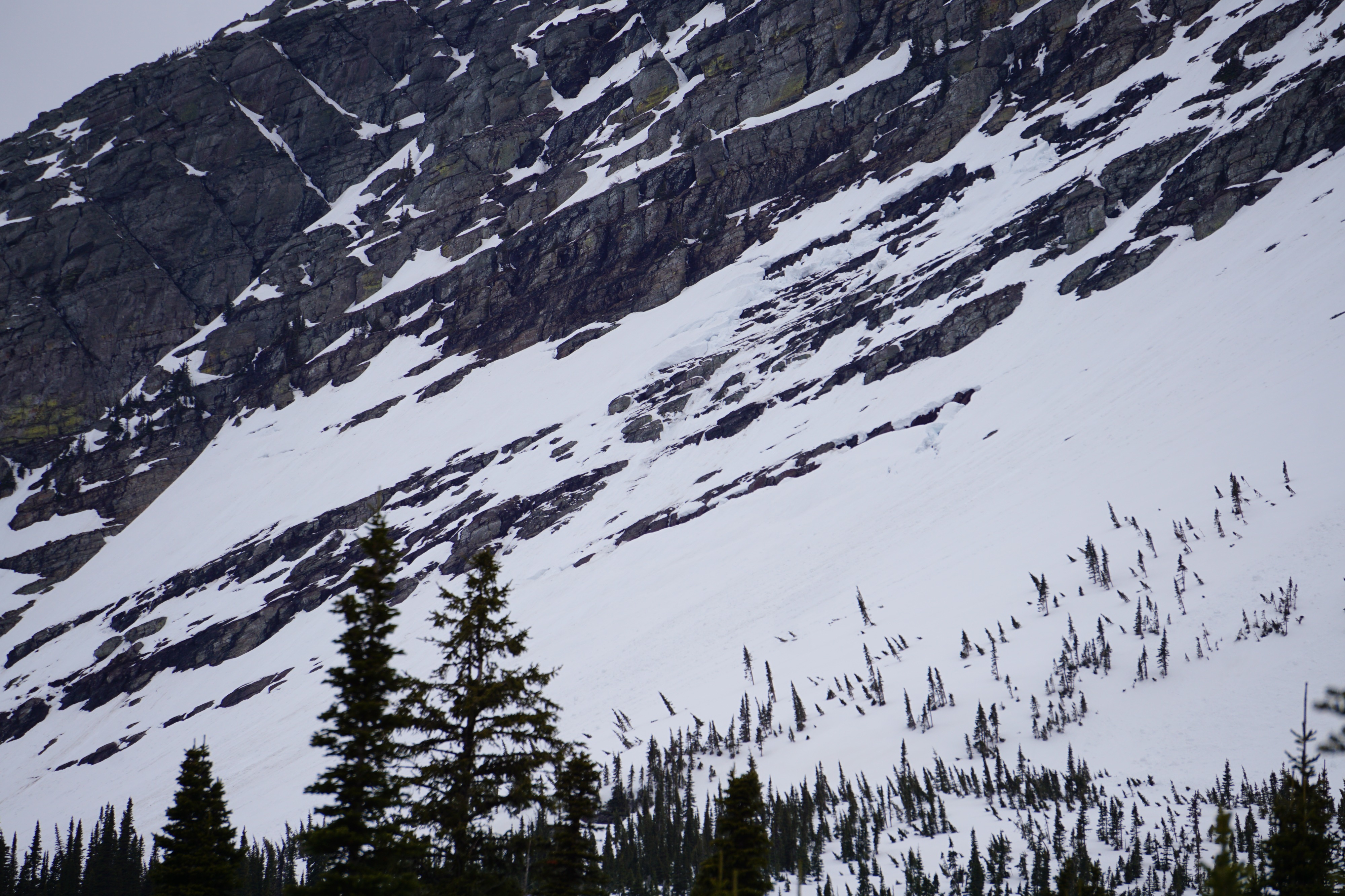
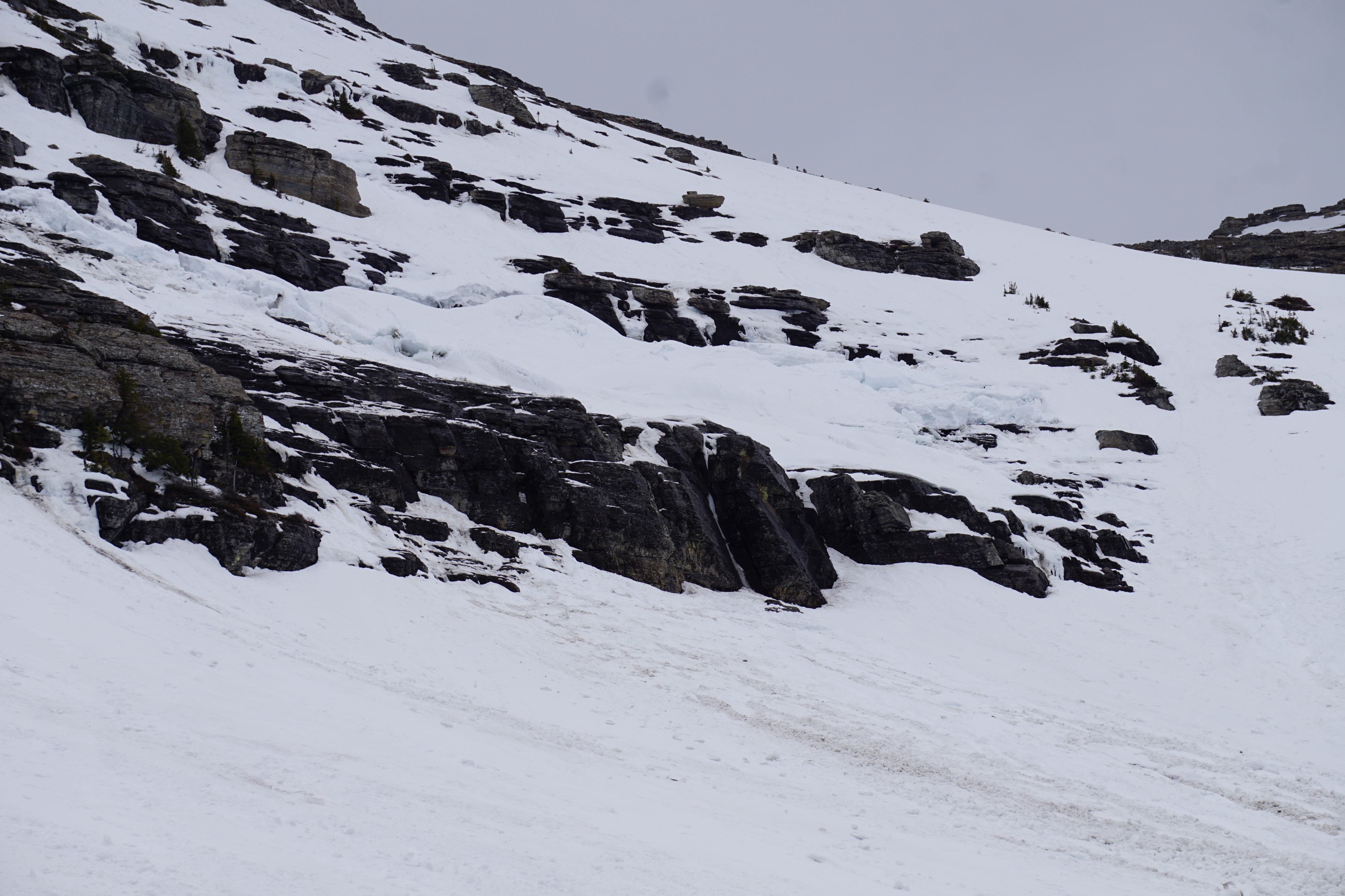
We observed a mildly refrozen snow surface above 6000' with overcast skies and moderate gusting strong SW winds throughout our tour above the GTSR. Snow depths at road elevation are generally <1m and rapidly decreasing. Evidence of a widespread glide avalanche cycle that occurred over the weekend. We recorded 10 separate glide slab avalanches in annual repeater paths and a few new hidden pockets.
Weather
- Cloud Cover
- overcast
- Wind Loading
- none
- Rain Elevation
- 6000
- Recent Snowfall
- 0
- Snow Avail For Transport
- none
Snowpack
The relatively shallow snowpack throughout the GTSR corridor that only shrank more this weekend under warm temperatures and clear skies. We dug a quick pit at 7200' on a W aspect: - HS225cm - Weekend water percolated and saturated snow ~35cm below the surface (on last week's old snow interface) - February 3rd crust was easily identifiable ~100cm above the ground and capped a thick layer of 1F rounding large grain facets - Most of the snowpack is moist and it appears that preferential flow paths have already formed at this location
Avalanche
- Size
- D2.5 R3
- Type
- WS
- Aspect
- NE
- Trigger
- N
- Elevation
- 7500 ft
We recorded 10 separate glide slab avalanches in annual repeater paths and a few new hidden pockets. These glide slab avalanches occurred on N, NE, E, and SW aspects between 6875' and 8000' and were mostly D2.5 in size. Rather than adding each individual avalanche, I've included a variety of photos of these avalanches.