
Quick report
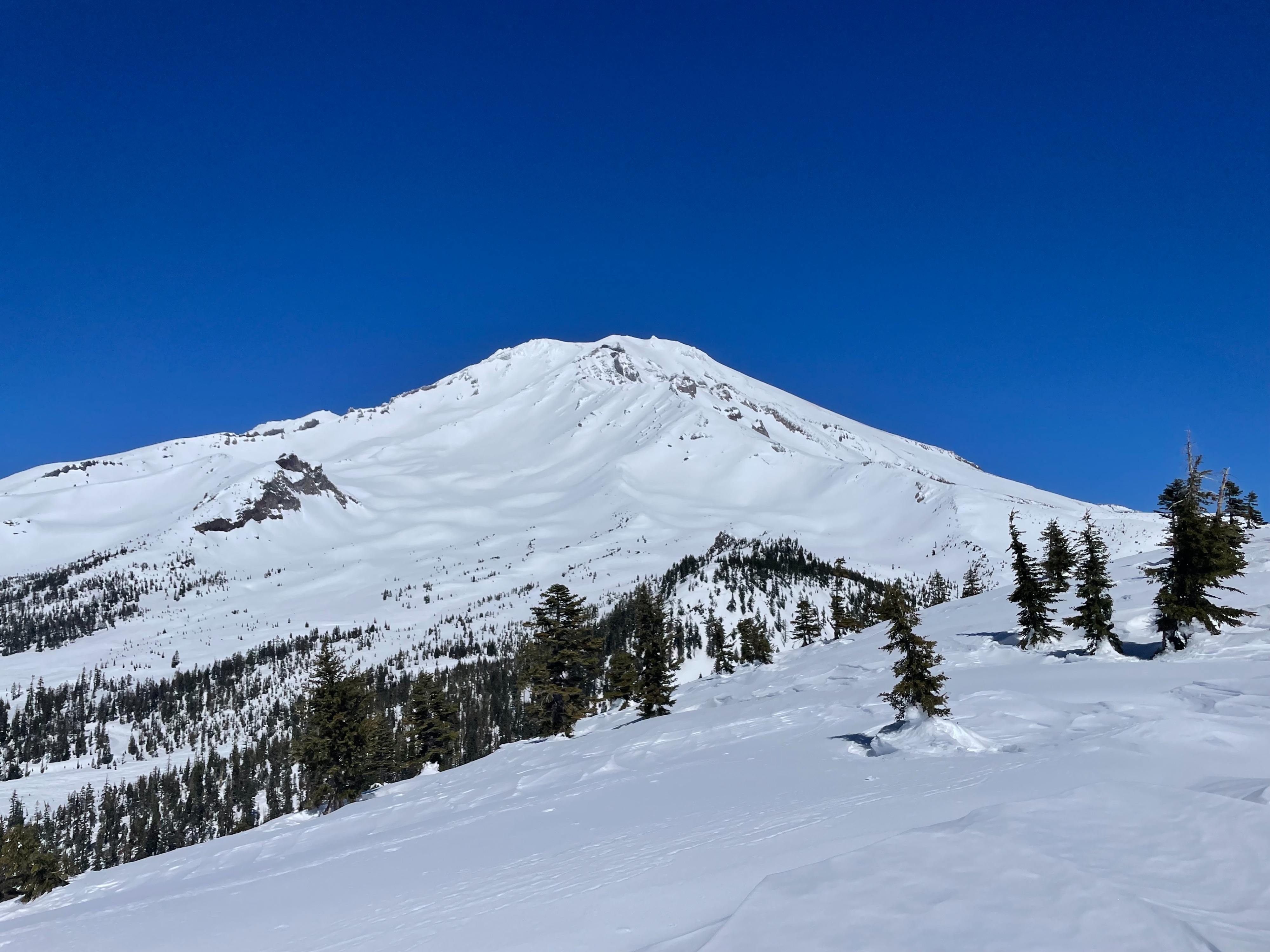
Today's objective was to assess the warming trend and development of wet avalanche problems on Gray Butte. As suspected, temperatures rose quickly, with Gray Butte summit rising above freezing by 8am. Southerly aspects are seeing a massive amount of solar input, saturating the snowpack down 4–6 inches from the surface. As this is written, temperatures continue to rise into the evening, only furthering the development of wet avalanche problems. As for signs of avalanche activity, none were observed. Roller balls could be initiated by hand, but were not naturally occurring. Being the first day of proper warm conditions and no wind to help keep things cool, I suspect we are just in the beginning of the wet avalanche problem. With a poor refreeze overnight, and even warmer temperatures, tomorrow could see higher danger.
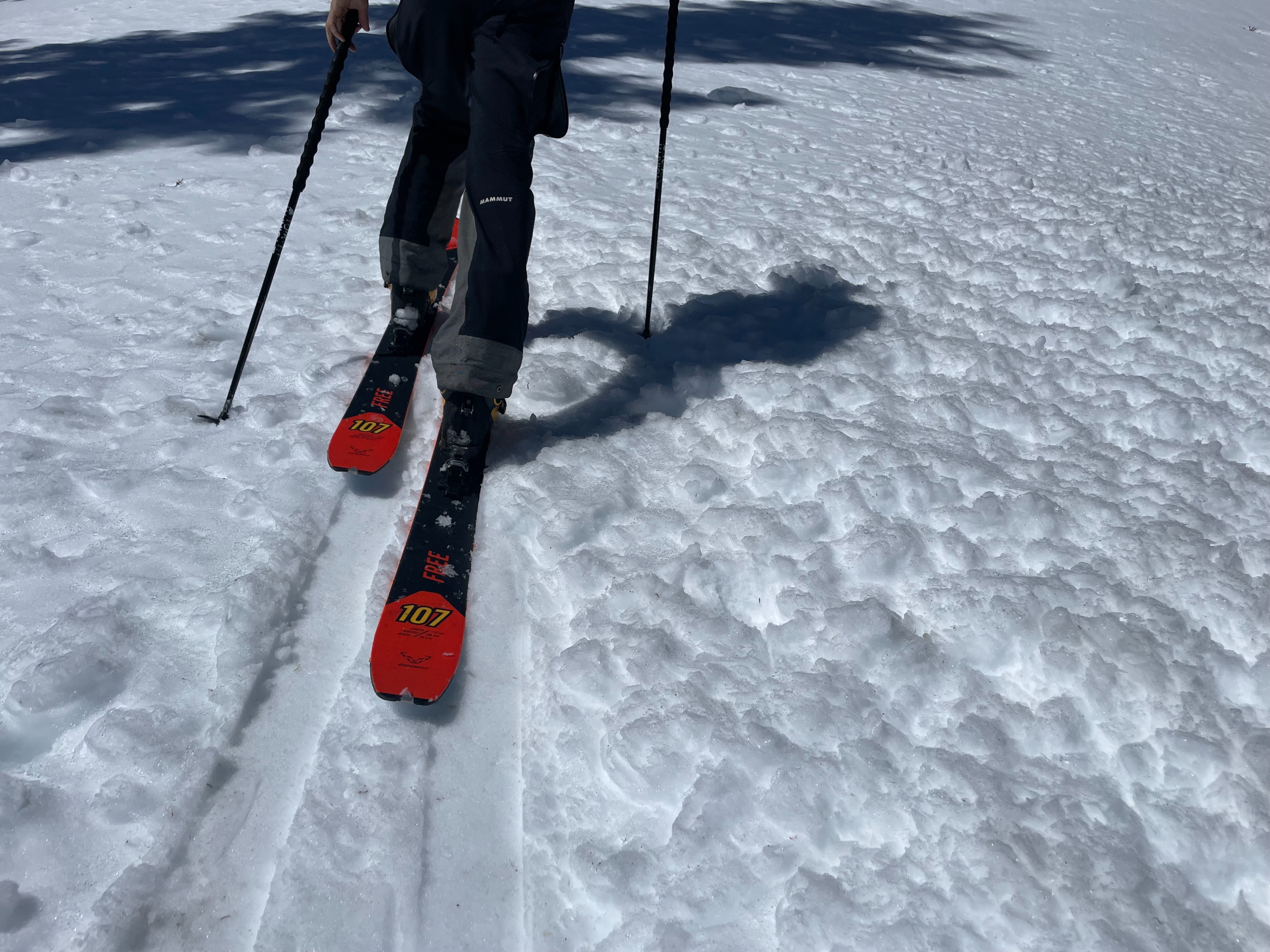
By midafternoon, southerly aspects were becoming saturated and sticky. Warming was most severe at lower elevations (below 7,000 feet). Roller balls could be initiated by hand or skis. Saturation and warming stayed limited to within the top 6 inches of snow. Northerly aspects stayed firm.Weather
- Air Temp
- 41
- Cloud Cover
- clear
- Wind Loading
- none
- Rain Elevation
- N/A
- Recent Snowfall
- 0
- Snow Avail For Transport
- small smounts
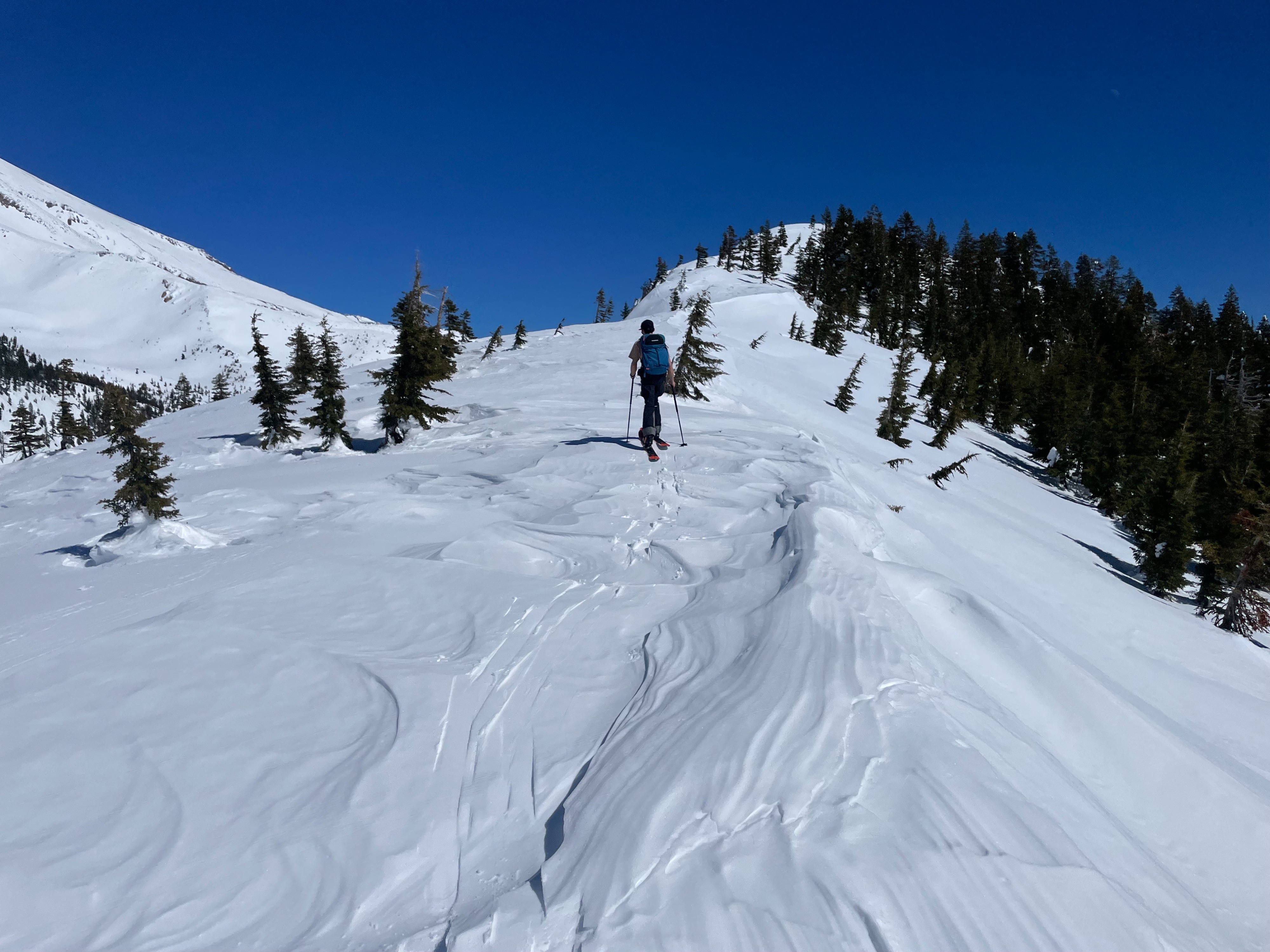
Another clear and sunny day. No clouds in the sky. The primary factor today was the wind, to which was dead calm at 8,000 feet. Temperatures climbed quickly, rising above freezing by 8am (at 8,000 feet).
Snowpack
Northerly and shaded aspects stayed surprisingly firm through mid-afternoon. These firm surfaces were surprising supportable, with ski penetration only half an inch deep. This could be due to the lingering wind compressed surface snow. On southerly aspects and lower elevations, surfaces began to saturate quickly.