
Quick report
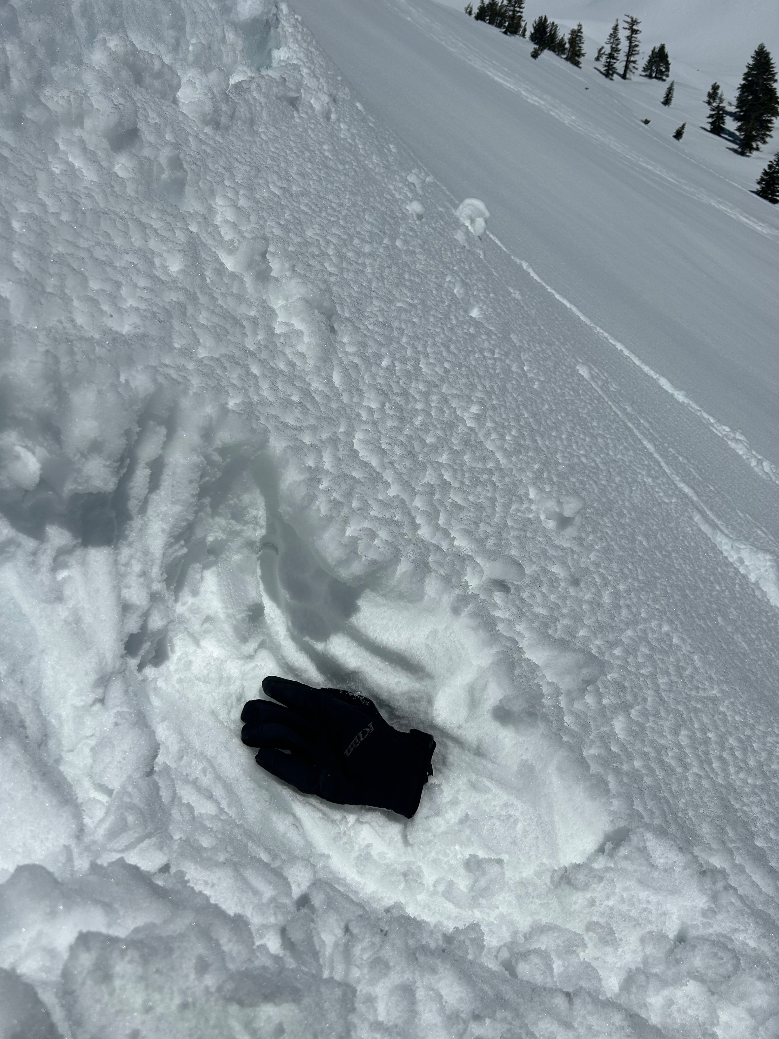
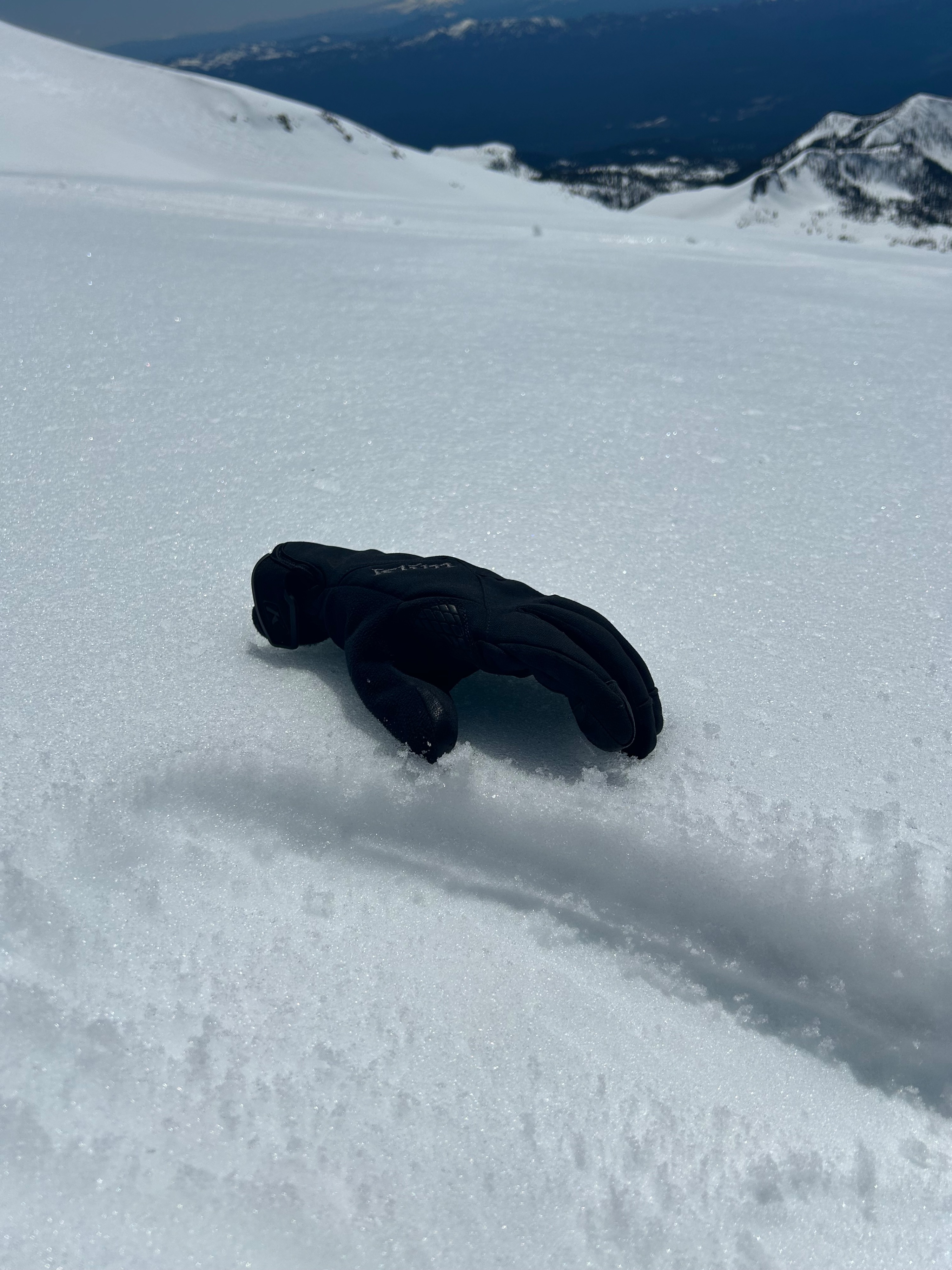
A tranquil day was had on Mount Shasta. Surface snow is undergoing a melt-freeze cycle, with near and above treeline elevations harboring corn snow in specific locations. Soft snow exists on all southerly aspects, with semi-dry snow on W-N-E aspects. On ridgelines and exposed slopes, surfaces are quite a bit firmer, more variable, and hold areas of wind texture. A calm to light wind helped keep snow surfaces chill above treeline. Surfaces below treeline are not receiving a proper refreeze, which is leading to wet and sticky conditions by mid day.
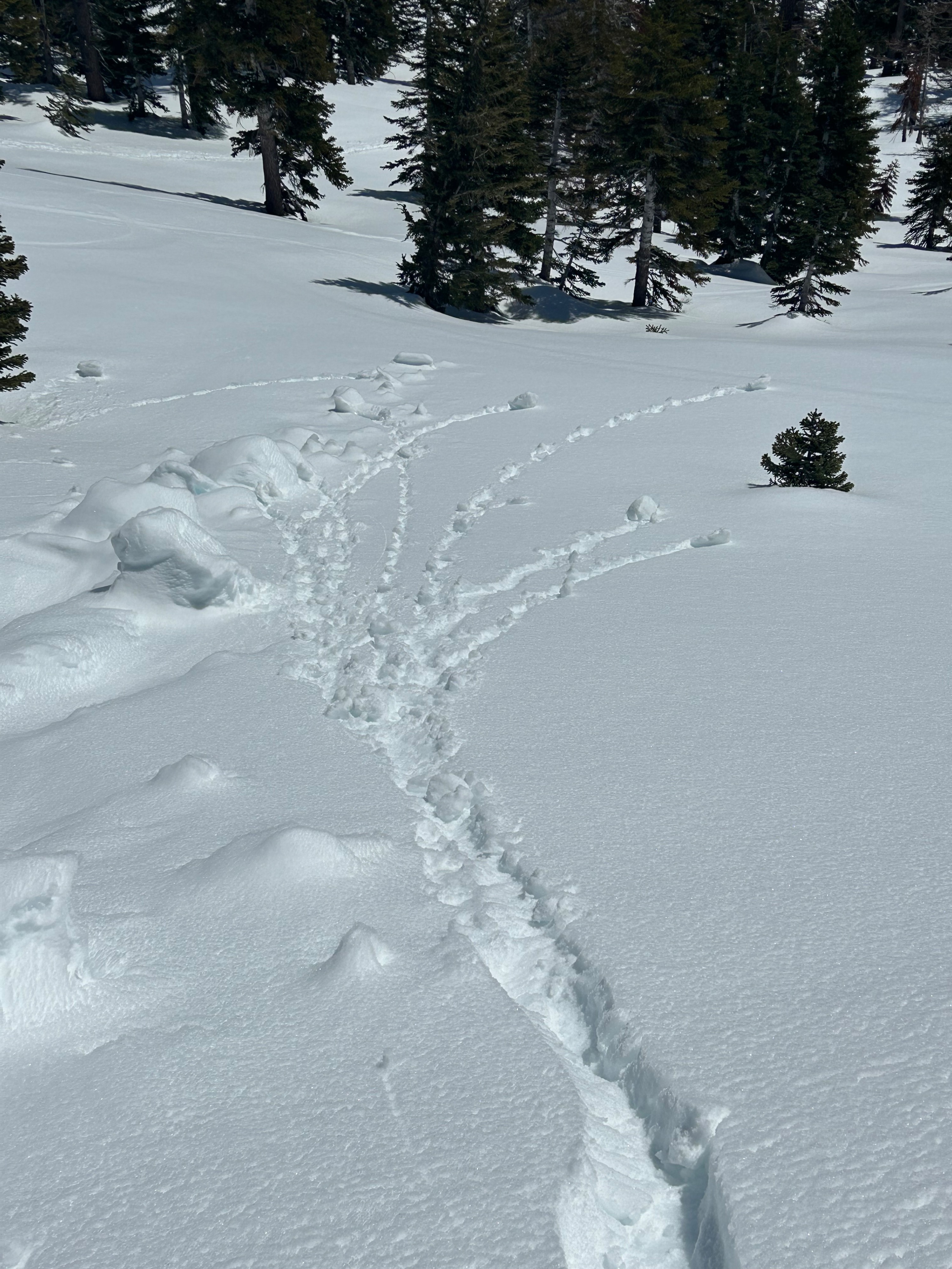
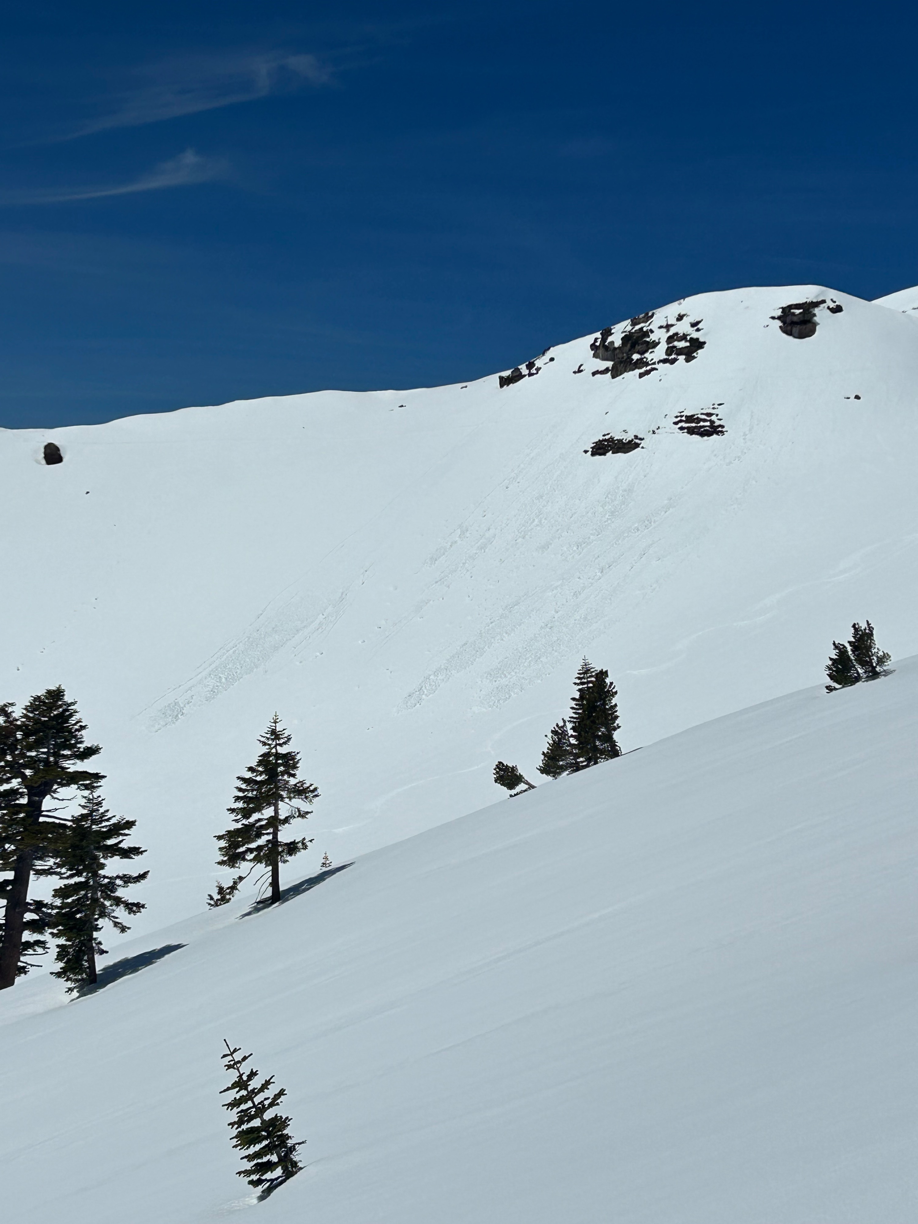
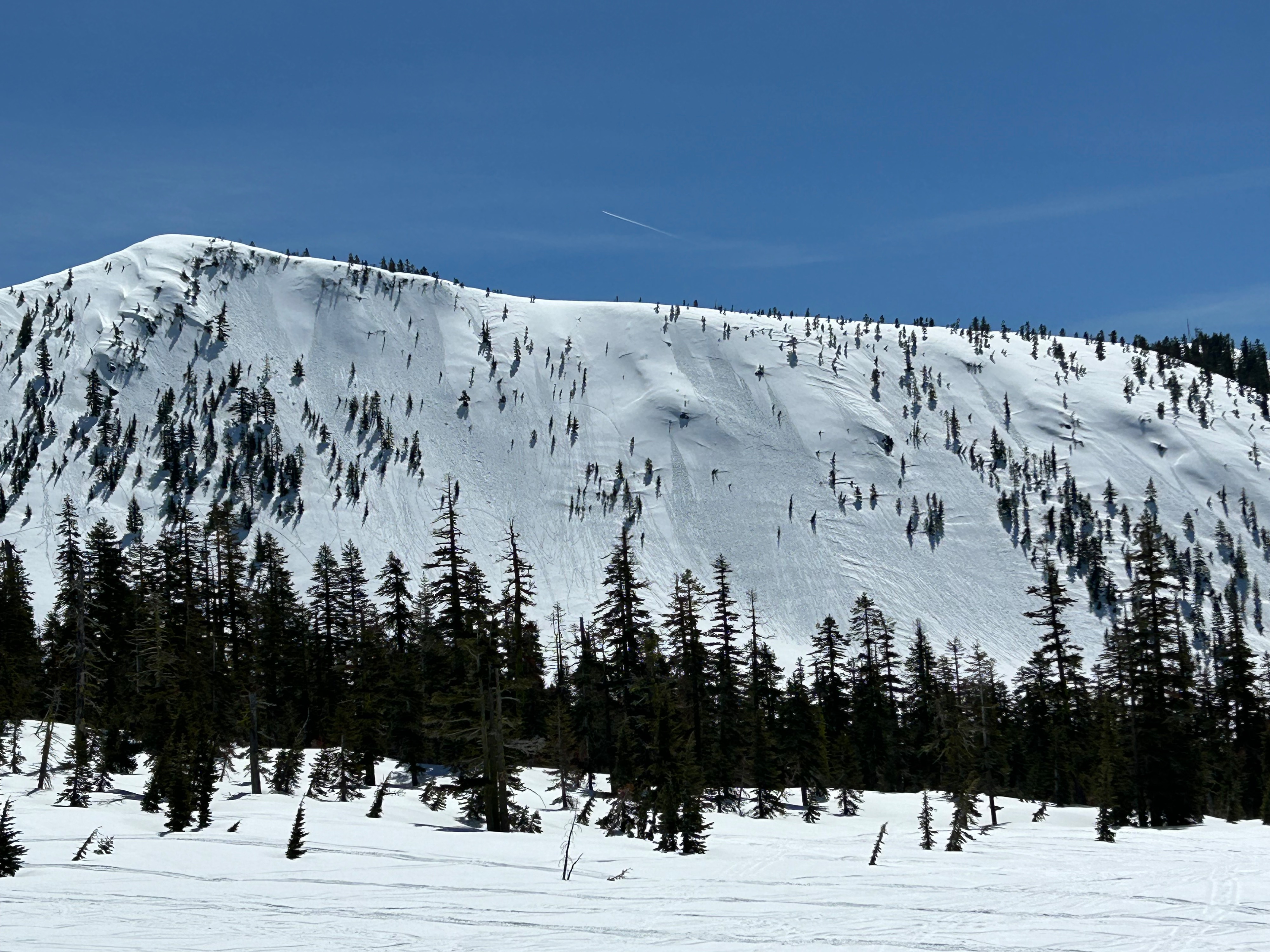
Two small (D1 or less) wet loose avalanches were observed near Powder Bowl. Likely skier triggered as there were ski tracks above them.Weather
- Air Temp
- 49
- Cloud Cover
- clear
- Wind Loading
- none
- Recent Snowfall
- 0
- Snow Avail For Transport
- none
Temperatures climbed into the high 40s near treeline, with calm winds blowing from the northwest. The sun shone brightly all day and the sky remained blue.
Snowpack
The snowpack is currently experiencing a moderate melt-freeze cycle, with specific mid and upper elevation areas reaching corn snow quality by early to mid-afternoon. In the majority of areas, a firm underlying crust layer remains supportable, with only the top 1–5 inches of surface snow experiencing warming and sluffing. However, there are areas that hold closer to 7–12 inches of warming snow atop the crust from recent drifting. These locations were observed to be directly beneath ridgelines and wind lips near treeline.