
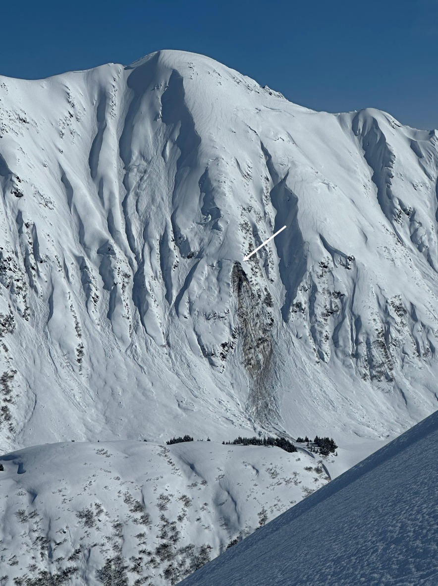
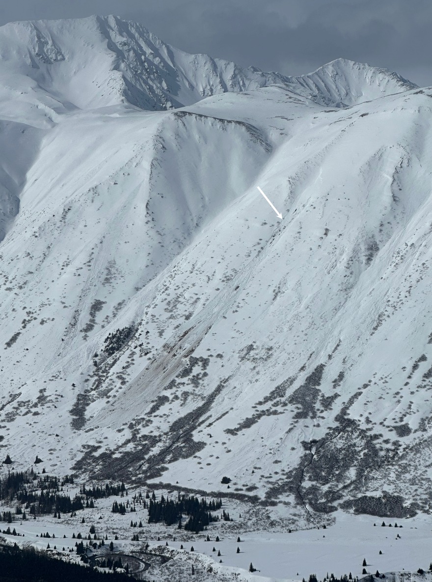
Quick report
- Collapsing
- isolated
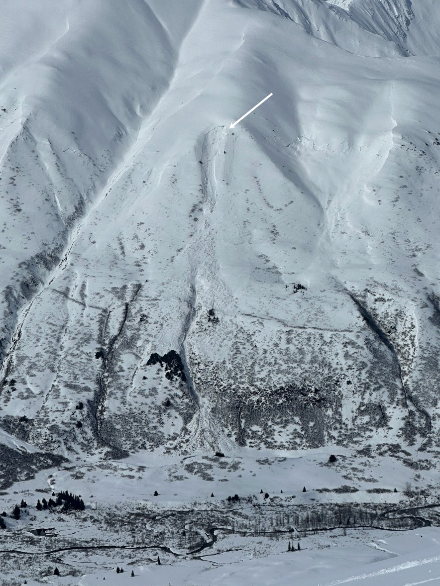
With the significant snowfall that Turnigain received last week, over 5" of SWE, and another round of snowfall with strong winds yesterday, we were curious how much new snow had fallen in the past 24 hours, if any instabilities existed within the new/old snow interfaces, and how the warmer temps would affect the snow during the day.
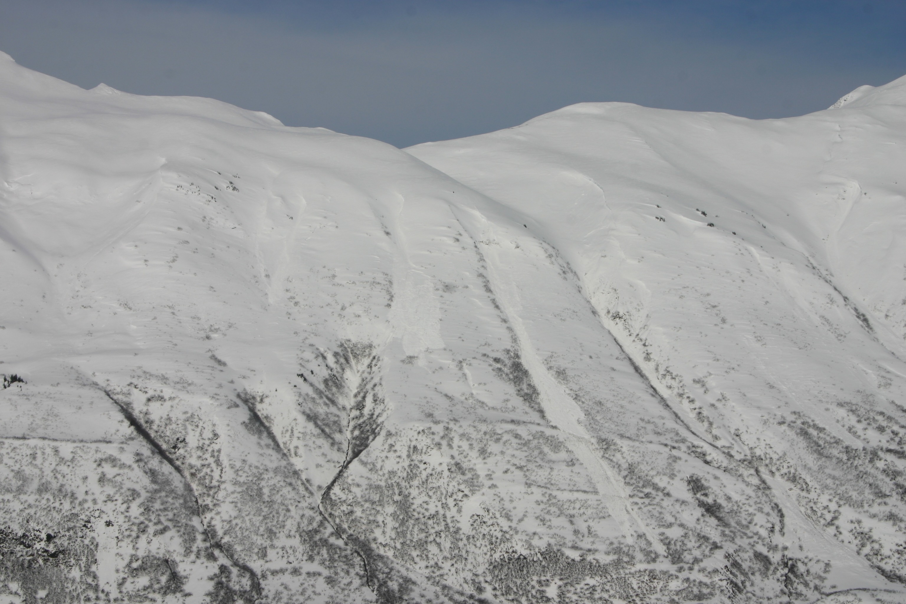
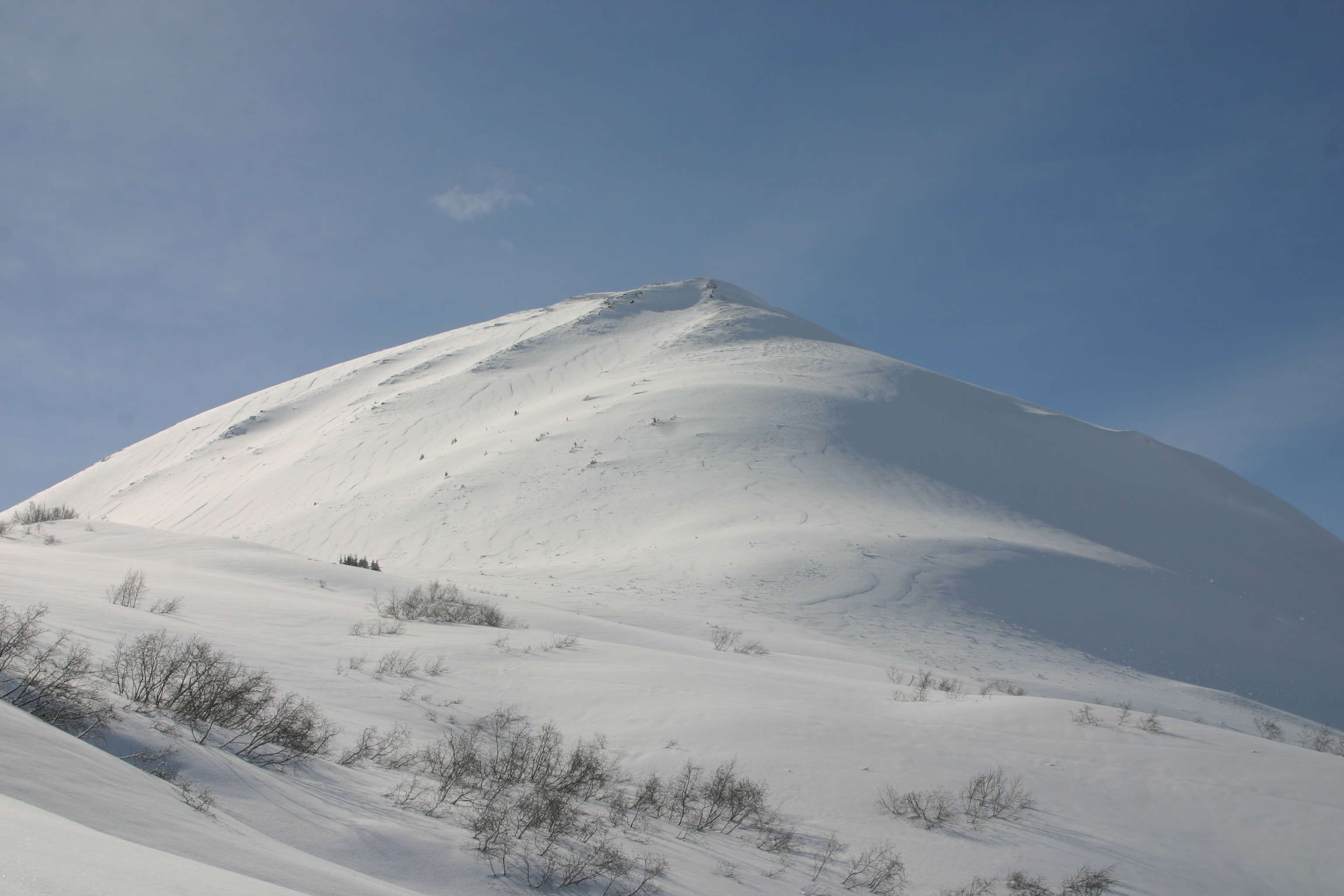
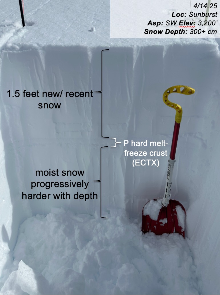
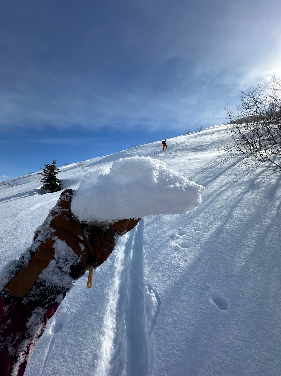
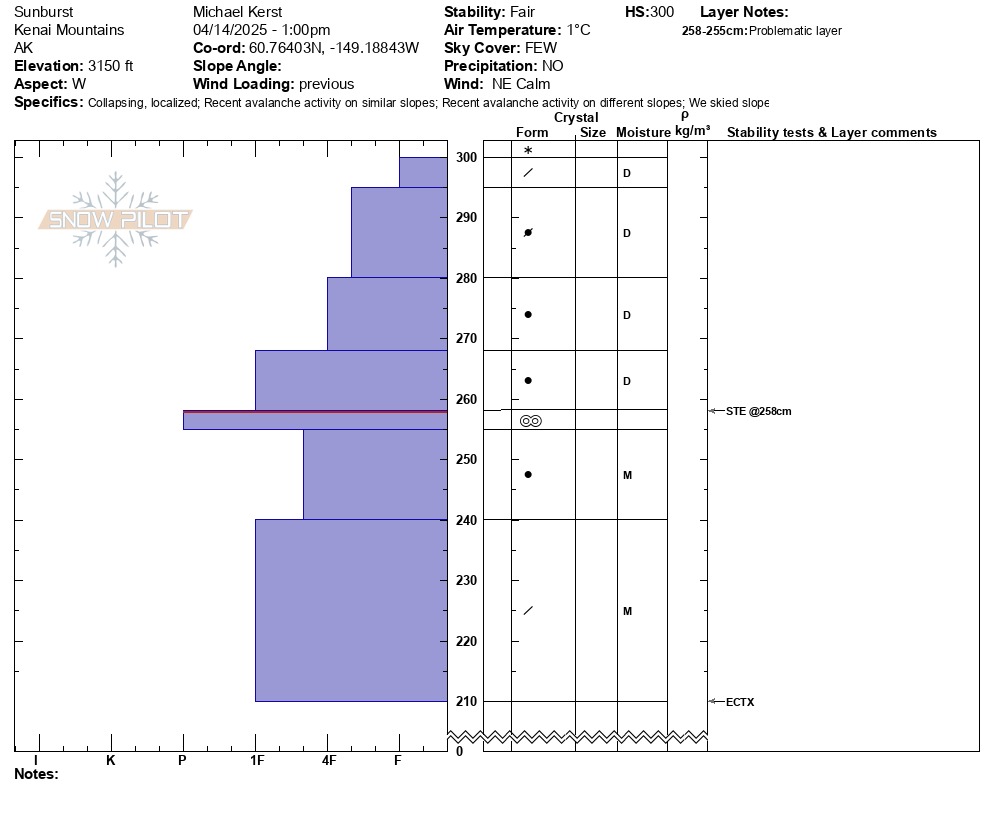
Above treeline, we found 8-10 inches of new, dry snow. We performed several hand pits and found the new snow to be right side-up with a thin soft slab ~3" deep that behaved more like loose snow as we skied. With the generally right-side-up soft new snow, we decided to continue up the ridge. On our final pitch, we travelled one at a time onto a southwest-facing slope. Halfway up the slope, the second person experienced a collapse across the entire slope. We skied near the ridge on the descent, avoiding the larger connected face on the descent, and dug a snow pit adjacent to the bottom of the slope at ~3100'. In our snow pit, we found a concerning melt-freeze crust approximately a foot and a half deep with a weak interface between the smooth surface of the crust and the new snow above it. We did not get any results in our snow pit tests (ECTX). We stuck to traveling on lower angle terrain and enjoyed the soft new snow and sunshine. Later in the day, the snow became more gloppy due to the warming from direct sun. As we departed the field at ~3 pm, the snow below ~2000' had thawed and was wet. The car read 45 degrees F at the road.
While going up our last pitch to the upper ridge, the second person on the slope experienced a 3-5 second long whoomph that spread across the whole slope. Occurred at about 3200'.Weather
- Air Temp
- 28
- Cloud Cover
- broken
- Wind Loading
- previous
- Rain Elevation
- 2000
- Recent Snowfall
- 20-25
- Snow Avail For Transport
- moderate amounts
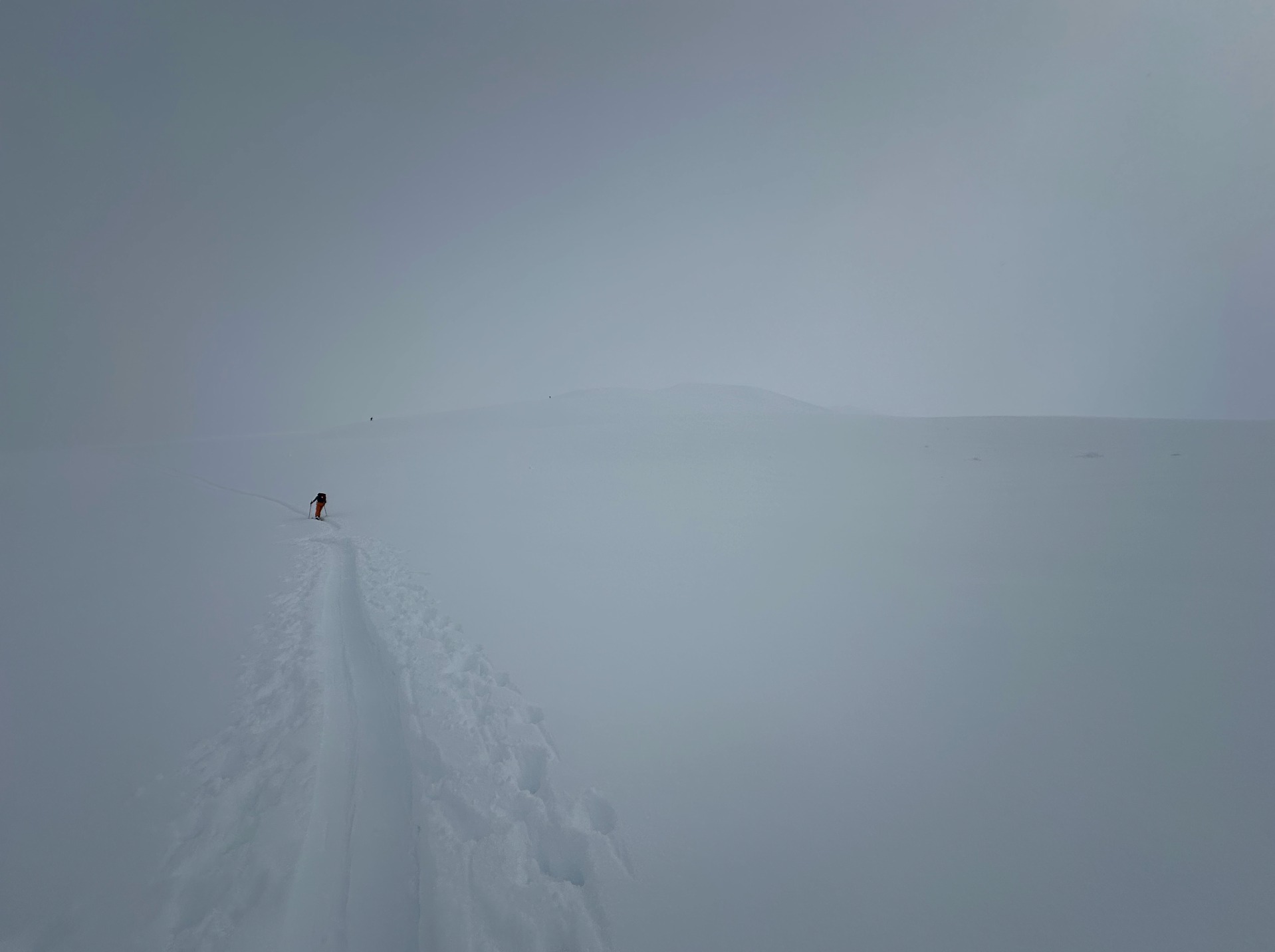
High cirrus clouds in the morning and a moderately strong breeze, which cleared and ambient air temps rose as the sun gained intensity. A fog layer pushed up the pass in the early afternoon, obscuring the sky from view, and light snowfall fell with a trace accumulation. The low clouds cleared, and skies were mostly blue by our last lap ~3pm.
Snowpack
From the road up to ~2000', 1-2 inches of dry snow capped a melt-freeze crust, which formed as the freezing line rose and rain fell up to 2000'. Above treeline, we found 8-10 inches of new, dry snow. We performed several hand pits and found the new snow to be right side-up with a thin soft slab ~3" deep that behaved like loose snow as we skied. On the final pitch of our ascent we spread out to travel off the ridge onto a southwest-facing slope. The second person experienced a collapse across the entire slope. We performed a snow pit near the bottom of the slope at ~3100'. We did not get any results in our snow pit tests (ECTX) but found a concerning layer approximately a foot and a half feet deep between the smooth surface of the crust and the new snow above it.